The best gravel rides around Fraureuth
4.4
(29)
117
riders
39
rides
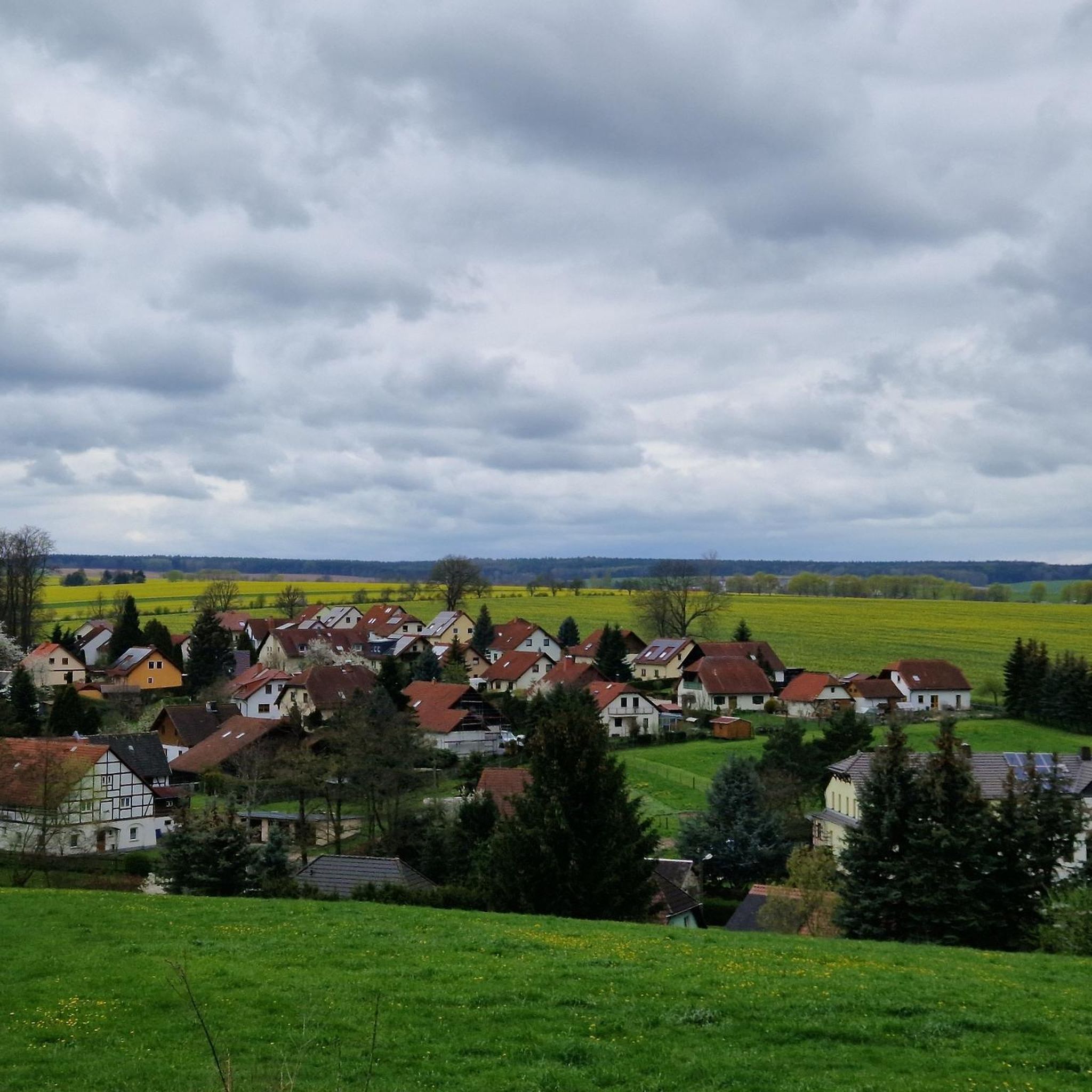
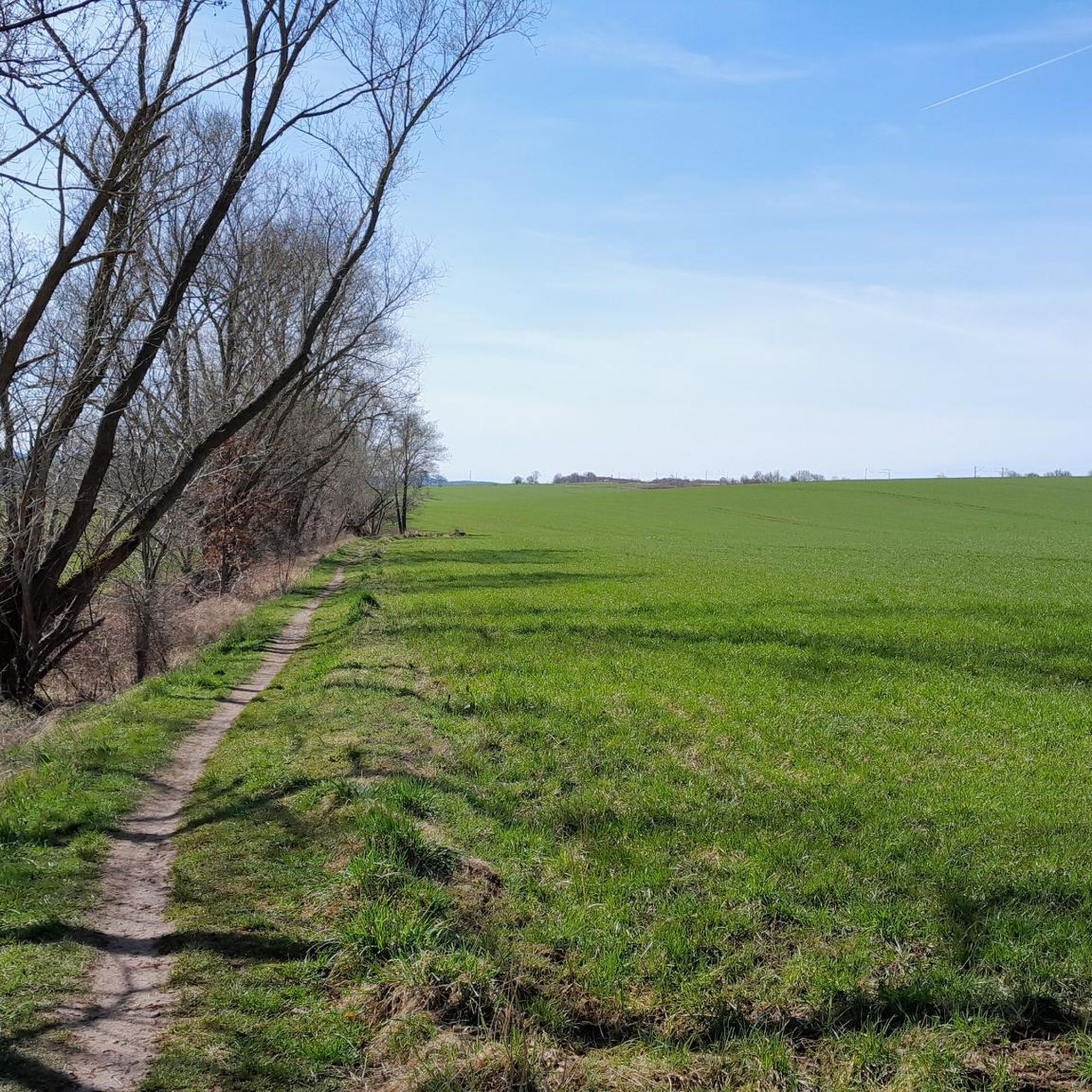
Gravel biking around Fraureuth offers routes through the varied landscape of western Saxony, characterized by rolling hills, dense woodlands, and river valleys. The region features a mix of forest paths and open terrain, providing diverse riding experiences. Riders can expect routes that traverse natural areas and connect smaller towns.
Best gravel bike trails around Fraureuth
- The most popular gravel bike trail is View of Greiz Castle – Greiz-Werdau Forest loop from Werdau, a 26.4 miles (42.5 km) trail that…
Last updated: May 22, 2026
2.0
(1)
13
riders
42.5km
02:30
460m
460m
Hard gravel ride. Very good fitness required. You may need to push your bike for some segments of this route.
4.7
(3)
14
riders
Moderate gravel ride. Good fitness required. Mostly paved surfaces. Suitable for all skill levels.

Sign up for free
5.0
(2)
10
riders
Moderate gravel ride. Good fitness required. Mostly paved surfaces. Suitable for all skill levels.
4.5
(2)
8
riders
Moderate gravel ride. Good fitness required. Mostly paved surfaces. Suitable for all skill levels.
5.0
(1)
7
riders
40.7km
02:16
380m
380m
Hard gravel ride. Good fitness required. You may need to push your bike for some segments of this route.
Get access to more routes and recommendations from other explorers.
Sign up for free
Already have an account?
Our route recommendations are based on thousands of hikes, rides, and runs completed by other people on komoot.
Start today with a free account
Your next adventure awaits.
Login or Signup
Tips from the Community

Beautiful tour through the Werdauer Wald with a relaxing destination, the Koberbachtalsperre.
0
0
Fantastic nature, peace and quiet, and great cycle paths.
0
0

Hold the handlebars firmly on the descent
0
0

The upper castle towers over the city and on the White Elster
0
0

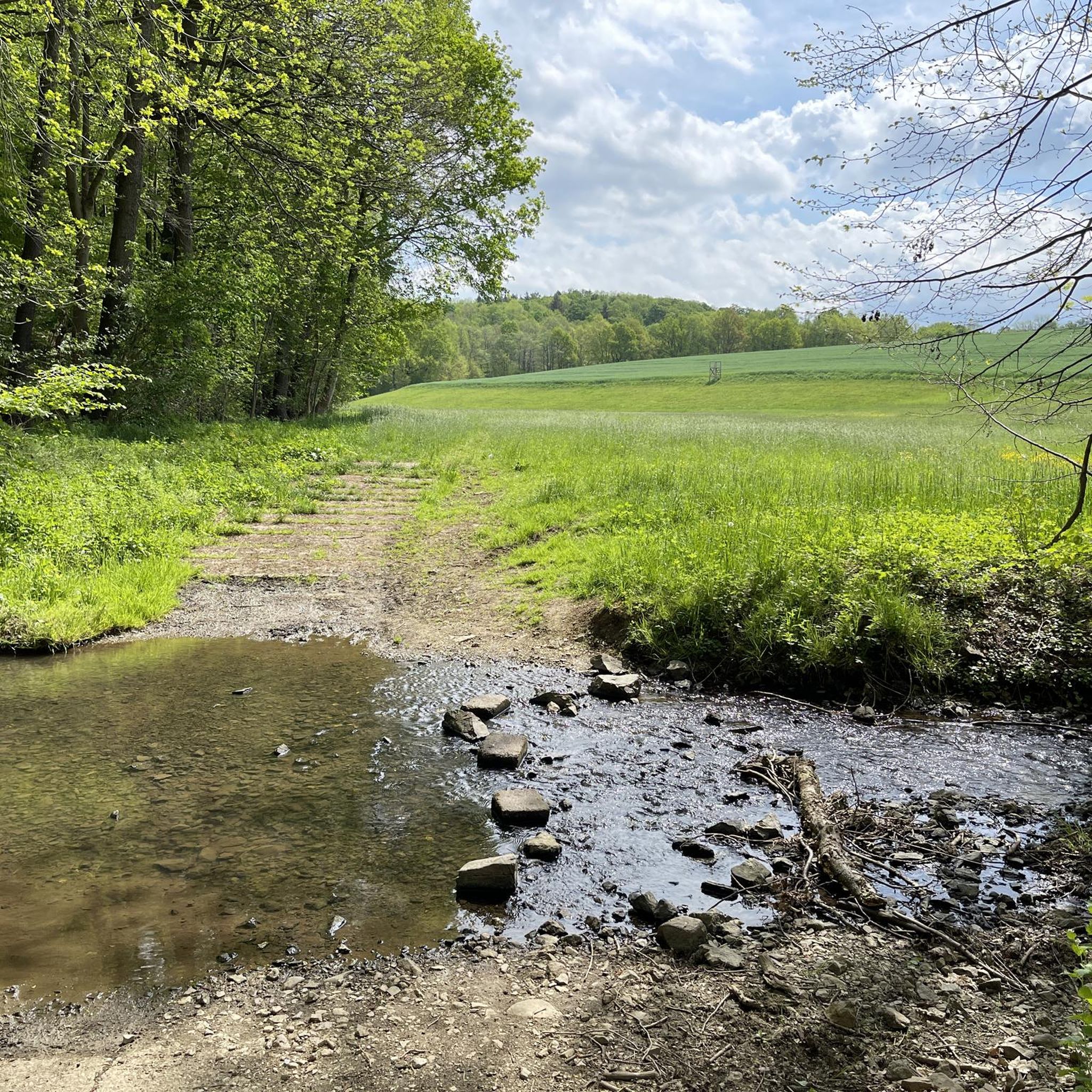
Here you can cross the hollow.
5
0

ATTENTION! There is often glass on the paths
0
0

Very beautiful lake. Lots of grey herons there. Nice for a walk or bike ride.
1
0

https://www.koberbachtalsperre.de/ Ideal short circular hike around the Koberbach Dam with children. Circular route approximately 4.3 km. You can also walk around the fore-dam of the Koberbach Dam. The Koberbach Dam is a dam in the northwest of the Zwickau district in the Free State of Saxony. It was built to supply industrial water to the towns of Neukirchen and Crimmitschau and today serves exclusively for flood protection and recreation. Great for relaxation, hiking, picnicking, swimming, and fishing. There's even a drive-in cinema directly across from the Koberbach Dam.
3
0
Frequently Asked Questions
What kind of terrain can I expect on gravel bike trails around Fraureuth?
The gravel bike trails around Fraureuth traverse a varied landscape of western Saxony, featuring rolling hills, dense woodlands, and river valleys. You'll encounter a mix of forest paths and open terrain, providing diverse riding experiences.
How many gravel bike trails are available in the Fraureuth area?
There are over 50 gravel bike trails available around Fraureuth, offering a wide range of options for different skill levels and preferences.
Are there any easy gravel bike trails suitable for beginners in Fraureuth?
Yes, Fraureuth offers several easier gravel bike trails. For instance, the region has 3 routes specifically categorized as easy. While the guide highlights more challenging routes, you can find suitable options by filtering for 'easy' difficulty on komoot.
What is the typical length and duration of gravel bike routes near Fraureuth?
Gravel bike routes in the Fraureuth area vary significantly in length and duration. For example, the Bimmelbahnweg Bridge – Mulde Bridge, Wernsdorf loop from Zwickau-Pölbitz is about 21.5 miles (34.6 km) and takes around 2 hours 20 minutes, while the Weidmannsruh Inn – Schlötenteich loop from Fraureuth covers about 25.3 miles (40.7 km).
Are there any circular gravel bike routes around Fraureuth?
Many of the gravel bike routes in Fraureuth are designed as loops, allowing you to start and end at the same point. Examples include the View of Greiz Castle – Greiz-Werdau Forest loop from Werdau and the Rümpfwald Trail – Forest path near Voigtlaide loop from Zwickau-Schedewitz.
What are some scenic viewpoints or attractions along the gravel bike trails?
The region offers several scenic spots. You might encounter views of Greiz Castle along routes like the View of Greiz Castle – Greiz-Werdau Forest loop from Werdau. Additionally, you can explore natural monuments like Bellmann's Spring or historical sites such as Schloss Schweinsburg, which are highlights in the broader area.
What do other gravel bikers enjoy most about Fraureuth's trails?
The gravel biking experience around Fraureuth is highly rated by the komoot community, with an average score of 4.5 stars from over 30 reviews. Riders often praise the varied terrain, the mix of forest paths and open landscapes, and the options available for different ability levels.
Are there any castles or historical sites I can visit near the gravel routes?
Yes, the Fraureuth region is rich in historical sites. You can find several castles nearby, such as Greiz Summer Palace, Osterstein Castle, and Upper Castle Greiz. Some routes may offer views of these landmarks, or you can plan a detour to visit them.
When is the best time of year to go gravel biking in Fraureuth?
The varied landscape of Fraureuth, with its woodlands and river valleys, makes it suitable for gravel biking across multiple seasons. Spring and autumn offer pleasant temperatures and beautiful scenery, while summer provides longer daylight hours. Winter riding is possible, but conditions can vary, especially on forest paths.
Are there options for longer, more challenging gravel bike tours?
Absolutely. While there are moderate options, Fraureuth also features more challenging routes. For instance, the Koberbach Forest Trail – White Elster Riverbank loop from Schweinsburg-Culten is a demanding 52-mile (83.6 km) route with significant elevation gain, ideal for experienced riders seeking a longer adventure.
Can I find trails that pass through natural areas or connect smaller towns?
Yes, the gravel routes in Fraureuth are designed to traverse natural areas and often connect smaller towns, allowing you to experience both the region's scenic beauty and local charm. You'll find paths winding through forests and along river valleys, linking various communities.
Most popular routes around Fraureuth
Most popular attractions around Fraureuth

Get inspired with the komoot mobile app


Explore more
Browse the best Gravel rides in other regions.
