The best gravel rides around Löchgau
4.6
(117)
687
riders
80
rides
Gravel biking around Löchgau offers diverse landscapes at the edge of the Stromberg-Heuchelberg Nature Park. The region features varied terrain with gravel paths, field paths, and asphalt roads, providing dynamic cycling experiences. Characterized by rolling hills, extensive vineyards, and shady forest passages, the area offers both scenic beauty and varied elevation changes. Routes often follow the Enz river and wind through open meadows, providing immersion in nature.
Best gravel bike trails around Löchgau
- The most popular gravel bike trail is…
Last updated: September 29, 2026
4.7
(10)
70
riders
102km
07:02
740m
740m
Hard gravel ride. Very good fitness required. You may need to push your bike for some segments of this route.
5.0
(4)
31
riders
49.7km
04:18
820m
820m
Hard gravel ride. Very good fitness required. Mostly paved surfaces. Suitable for all skill levels.

4.8
(5)
15
riders
50.0km
03:46
600m
600m
Hard gravel ride. Very good fitness required. Some segments of this route may be unpaved and difficult to ride.
4.7
(10)
68
riders
Hard gravel ride. Very good fitness required. Mostly paved surfaces. Suitable for all skill levels.
4.7
(7)
37
riders
52.6km
03:27
740m
740m
Hard gravel ride. Very good fitness required. Mostly paved surfaces. Suitable for all skill levels.
Get access to more routes and recommendations from other explorers.
Already have an account?
Our route recommendations are based on thousands of hikes, rides, and runs completed by other people on komoot.
Start today with a free account
Your next adventure awaits.
Popular around Löchgau
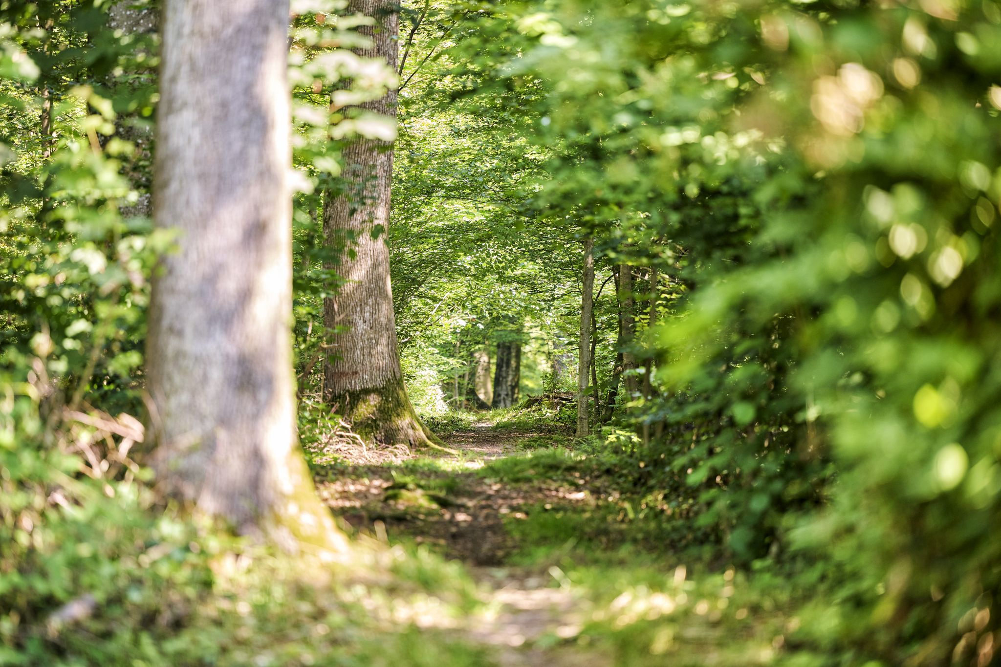
Trail running between woodlands & wine in the Land of 1000 Hills
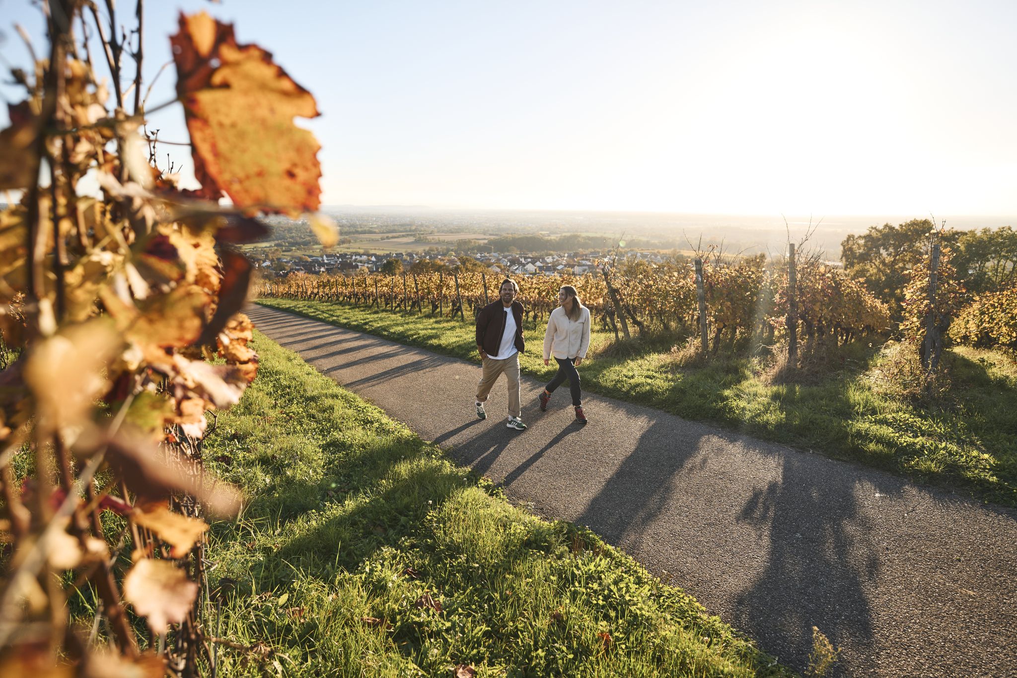
Fine drops and local cuisine – gourmet hiking in the Süden ganz oben
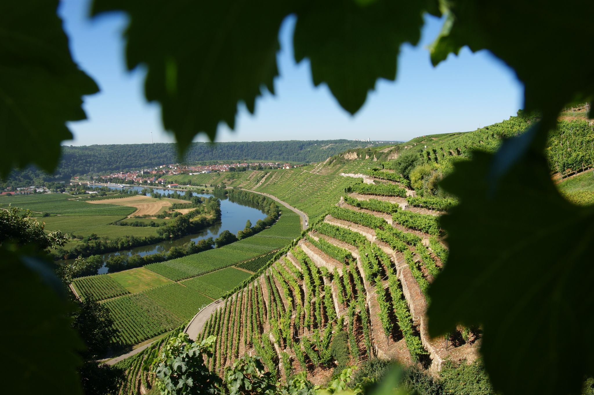
Where the wine grows in loops – hiking in the 3B-Land

Spring in the land of 1,000 hills – Kraichgau-Stromberg in Germany
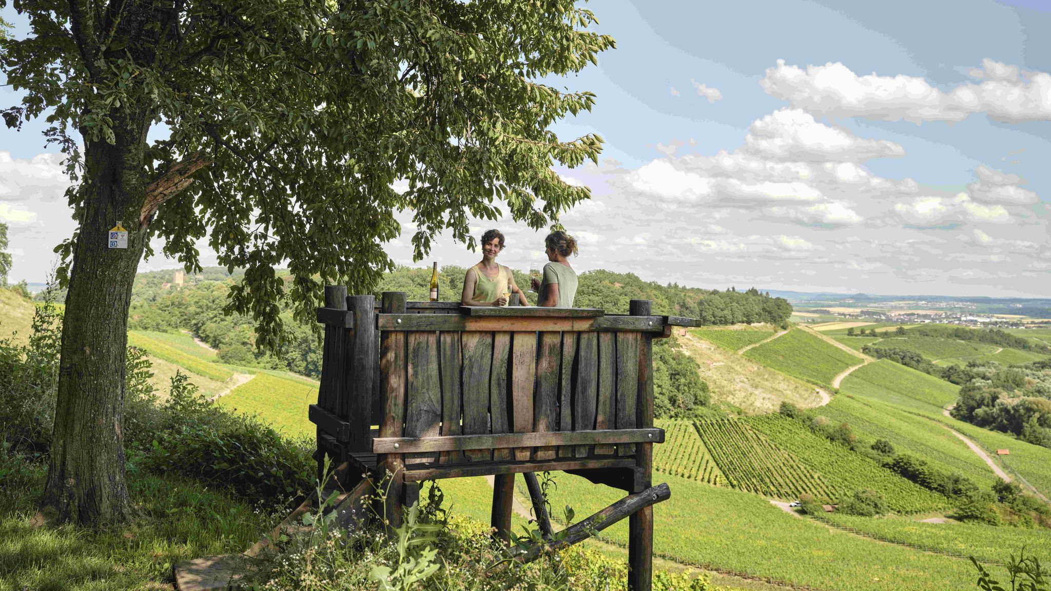
Genusswandern: Auf Wein(wander)wegen durch das Land der 1000 Hügel

Zu Fuß durchs Land der 1000 Hügel
MTB Trails around Löchgau
Hiking around Löchgau
Road Cycling Routes around Löchgau
Running Trails around Löchgau
Other adventures around Löchgau


Tips from the Community

Sausteil, best ridden with an MTB
0
0

From the Schlossbergturm, you have a panoramic view over large parts of Northern Baden and Northern Wuerttemberg. Depending on the weather and visibility, you can recognize, among other things: To the west: the Rhine plain and, in very clear conditions, the Vosges mountains in France. To the southwest: the Northern Black Forest. To the south: the Stromberg, whose highest elevation is the Baiselsberg. To the east: the hilly landscape of the Kraichgau and towards the Heckengäu. To the north: the Odenwald forest, but only with exceptionally good long-distance visibility. On particularly clear days, the visibility extends up to 70–100 km. Therefore, the tower is a popular viewpoint for photographers and hikers. Tip: The best long-distance visibility is often in the morning after a cold front or on dry autumn and winter days when the air is particularly clear.
1
0

The Neckar Cycle Path leads from the Neckar's source in the Schwenninger Moos near Villingen-Schwenningen to Mannheim, where the Neckar flows into the Rhine.
0
0

a nice beer garden at the outdoor pool in Besigheim
0
0
The Neckar Valley Trail runs below rocks here, a very beautiful landscape.
0
0

Great cycle path along the Neckar River. Idyllic and peaceful.
1
0

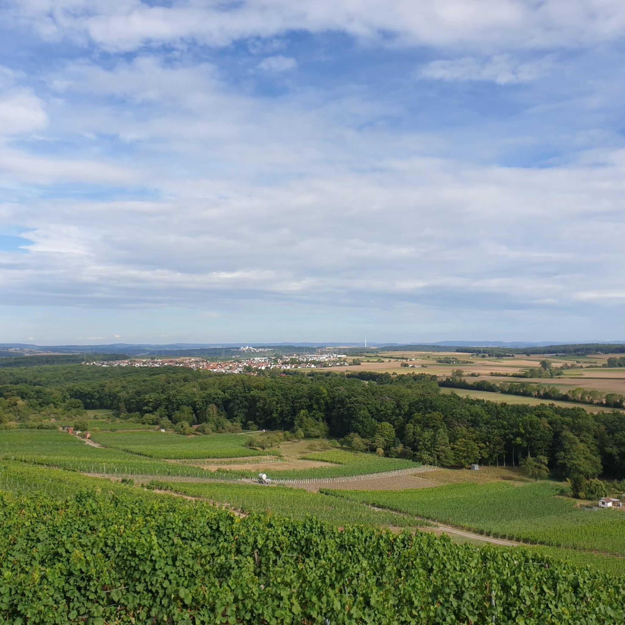
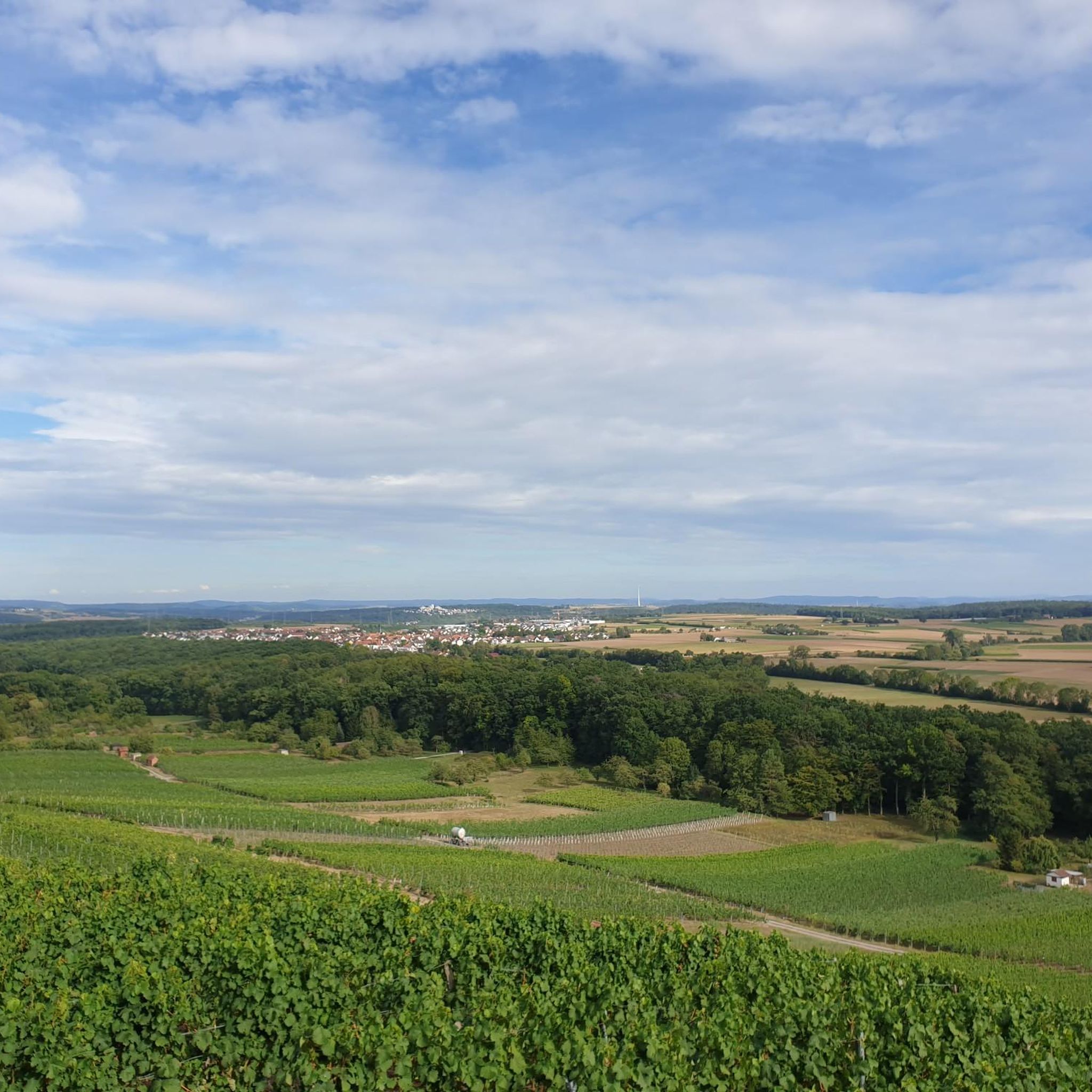
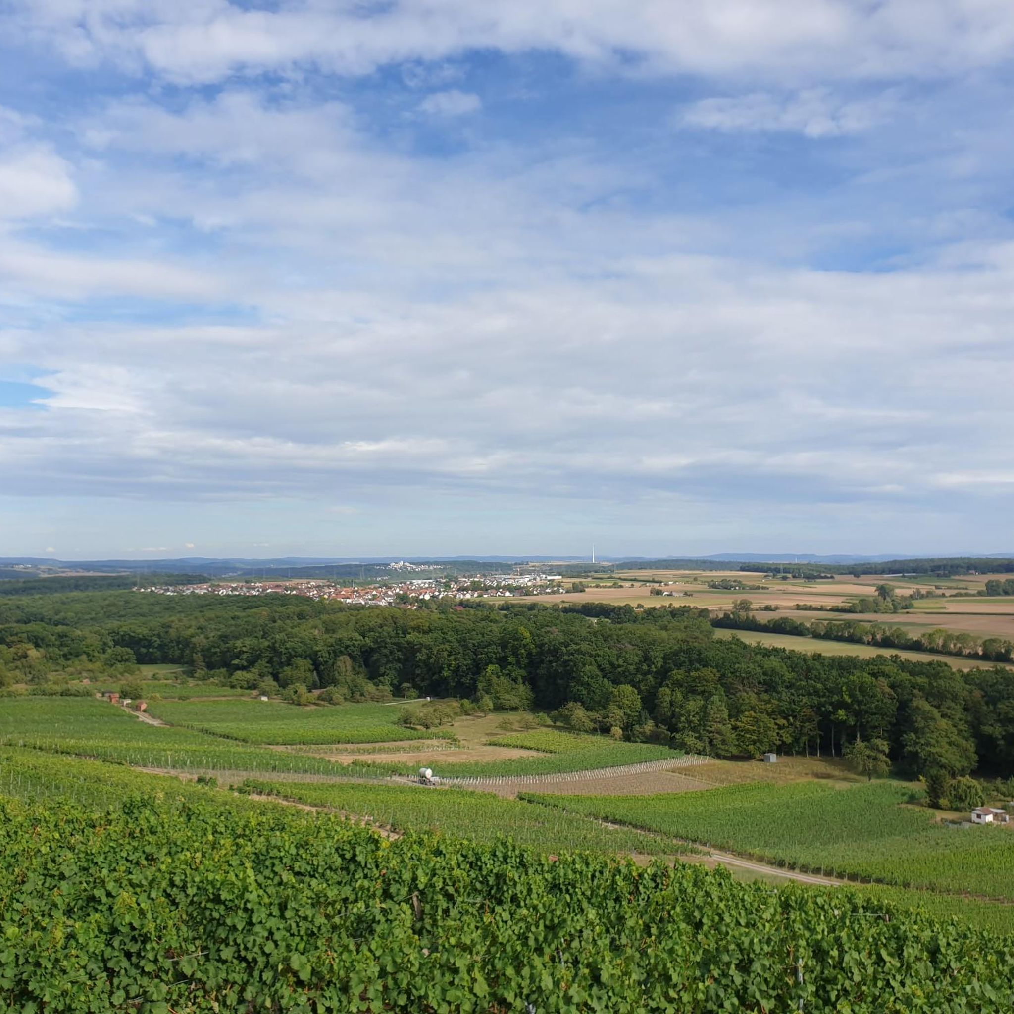
View of the houses of Löchgau
0
0
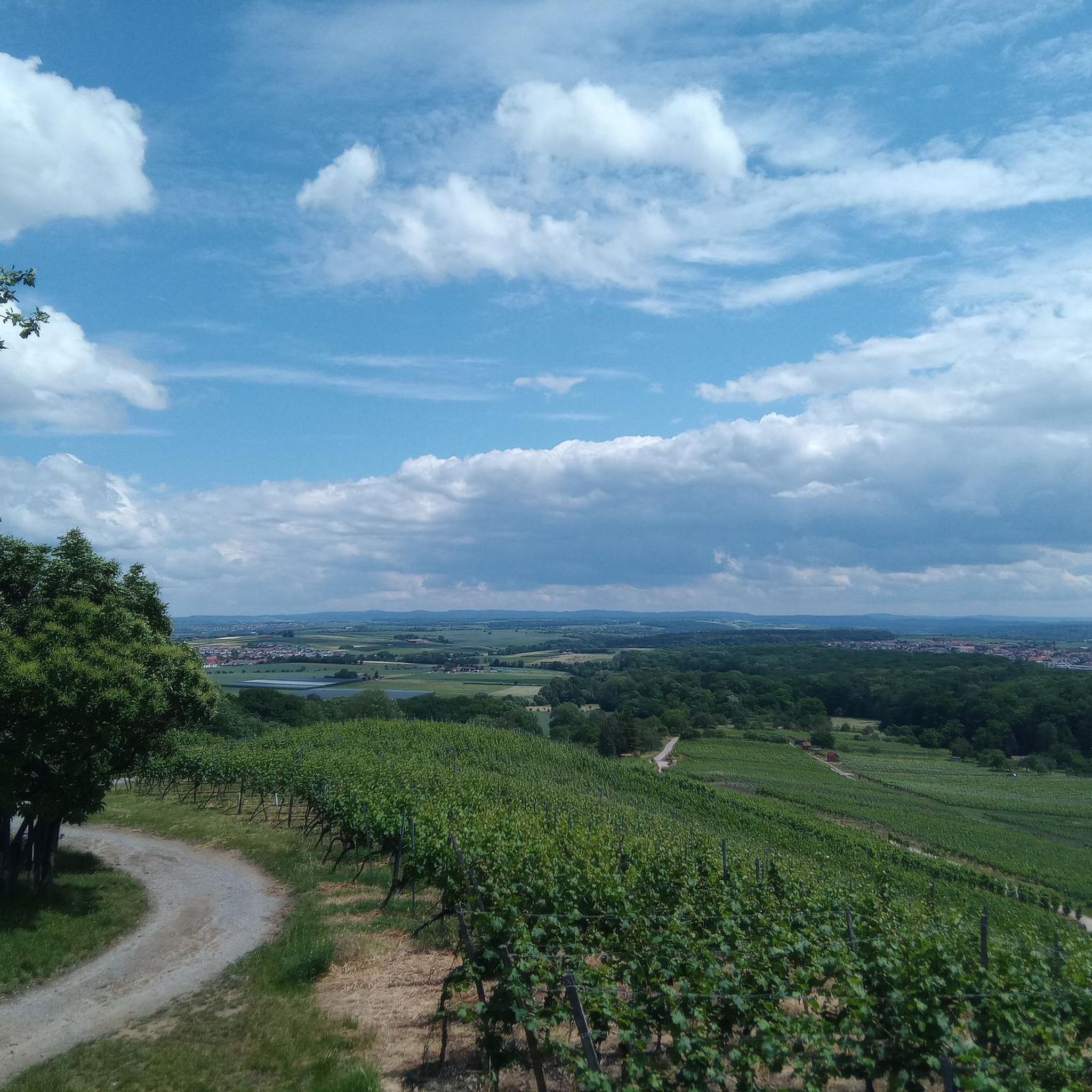
Most beautiful wine view 2012 Baden-Württemberg
0
0
Frequently Asked Questions
How many gravel bike trails are available around Löchgau?
Löchgau offers a wide selection of gravel biking routes, with over 200 trails available on komoot. These routes cater to various skill levels, from leisurely rides through vineyards to more challenging tours with significant elevation changes.
What kind of terrain can I expect on gravel bike trails in Löchgau?
The region, known as the 'land of 1000 hills' at the edge of the Stromberg-Heuchelberg Nature Park, features diverse terrain. You'll find gravel paths away from main roads, ascents, scenic vineyards, and forest passages. Routes often combine open landscapes with wooded sections and follow the Neckar River.
Are there any family-friendly gravel biking options in Löchgau?
While specific 'family-friendly' routes aren't explicitly categorized, the diverse network includes options for different ability levels. Look for routes described as 'leisurely rides' or those with less elevation gain, which might be more suitable for families. Always check the route details for distance and elevation before heading out.
What are some scenic viewpoints or natural attractions along the gravel trails?
Löchgau's trails offer numerous scenic spots. You can enjoy views of the Neckar River, explore the picturesque vineyards, or visit natural landmarks. Highlights include the View of the Neckar from the Hessigheimer Felsengärten, the rugged Wobachfelsen Muschelkalk Cliffs near Bietigheim, and the expansive Stromberg-Heuchelberg Nature Park itself.
What do other gravel bikers say about the trails in Löchgau?
The gravel biking routes in Löchgau are highly regarded by the komoot community, boasting an average rating of 4.7 stars from over 200 reviews. Many riders praise the varied terrain, the combination of vineyards and forests, and the opportunity to explore away from car traffic.
Are there any challenging gravel routes for experienced riders?
Yes, Löchgau offers several challenging routes with significant elevation changes. For instance, the Gravel pleasure tour – Kramer's Biergarten in Besigheim is a difficult 63.2-mile (101.66 km) trail with over 700 meters of ascent, navigating varied terrain including vineyards and forest sections.
Can I find routes that follow the Neckar River?
Absolutely. The Neckar River is a prominent feature of the region, and several gravel routes incorporate its scenic banks. The Neckar Cycle Path – View of Besigheim and the rapids loop from Besigheim is a popular 30.2-mile (48.63 km) route that offers beautiful views of the river and historical buildings.
Are there places to stop for refreshments or breaks along the trails?
Yes, the region is known for its 'Hügel-Pausen' (hill breaks). Many routes pass by local wineries, farm shops, and taverns, especially within the vineyard areas, where you can enjoy regional delicacies and take advantage of bike-friendly amenities.
What is the best time of year for gravel biking in Löchgau?
While gravel biking is possible year-round, the spring, summer, and autumn months generally offer the most pleasant conditions. Spring brings blooming vineyards, summer provides warmth, and autumn showcases vibrant foliage. Always check local weather conditions before your ride.
Are there any historical sites or castles to see while gravel biking?
Yes, the area is rich in history. You might encounter sites like the Old Neckar Bridge or the Castle/Town Hall in Lauffen am Neckar. Some routes also pass by the enchanting moated castle of Monrepos. For more historical exploration, consider the Enz Bridge – Bietigheim Railway Viaduct loop from Besigheim, which leads through hilly terrain and along river sections with historical context.
How long are the gravel bike trails in Löchgau typically?
The trails vary significantly in length. You can find shorter routes for quick rides or longer, more demanding tours. For example, the Ehmetsklinge Reservoir – Neckar Cycle Path loop from Besigheim is a substantial 74.3-mile (74.32 km) route, while others are shorter, offering flexibility for different time commitments.
Most popular routes around Löchgau
Most popular attractions around Löchgau

Get inspired with the komoot mobile app


Explore more
Browse the best Gravel rides in other regions.
