The best gravel rides around Rauhenebrach
4.7
(16)
148
riders
42
rides
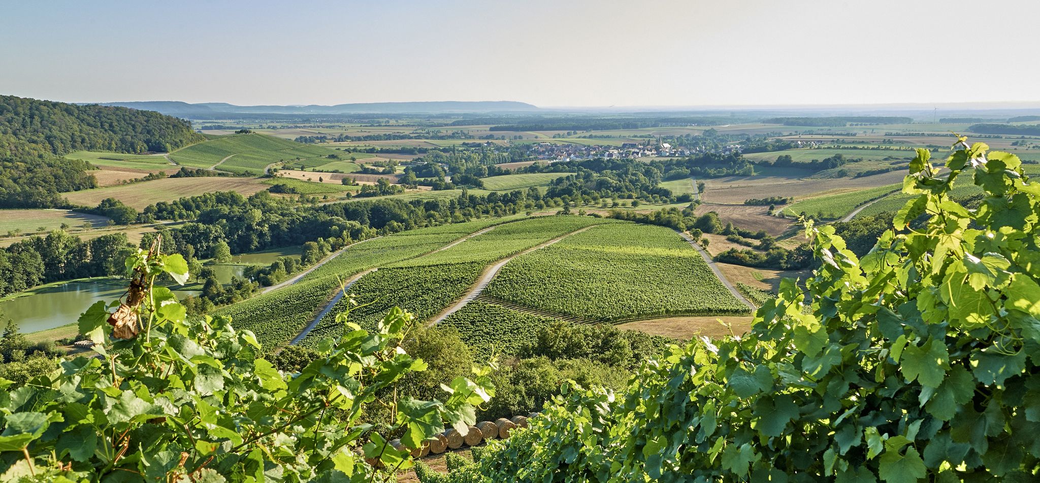
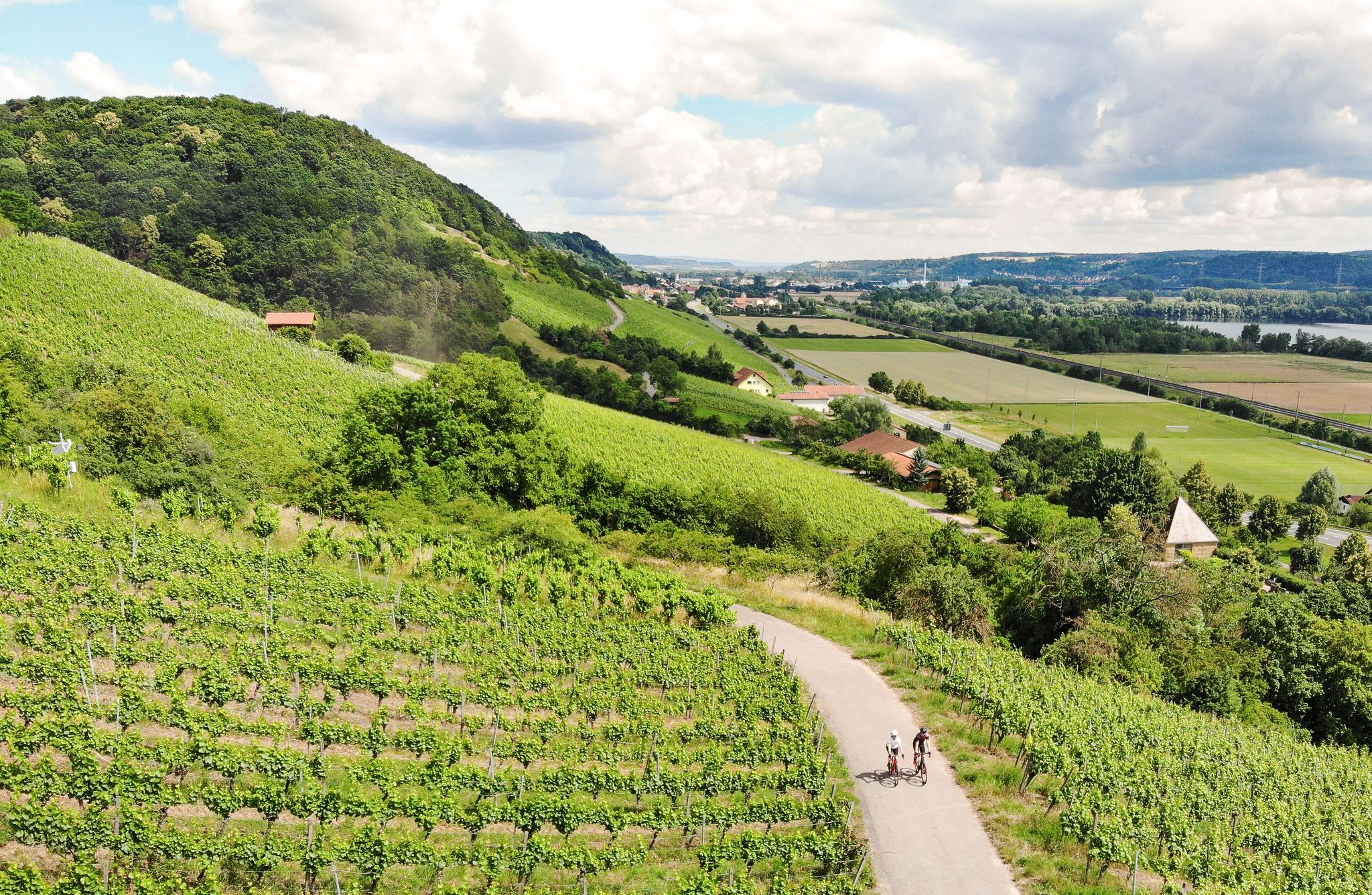
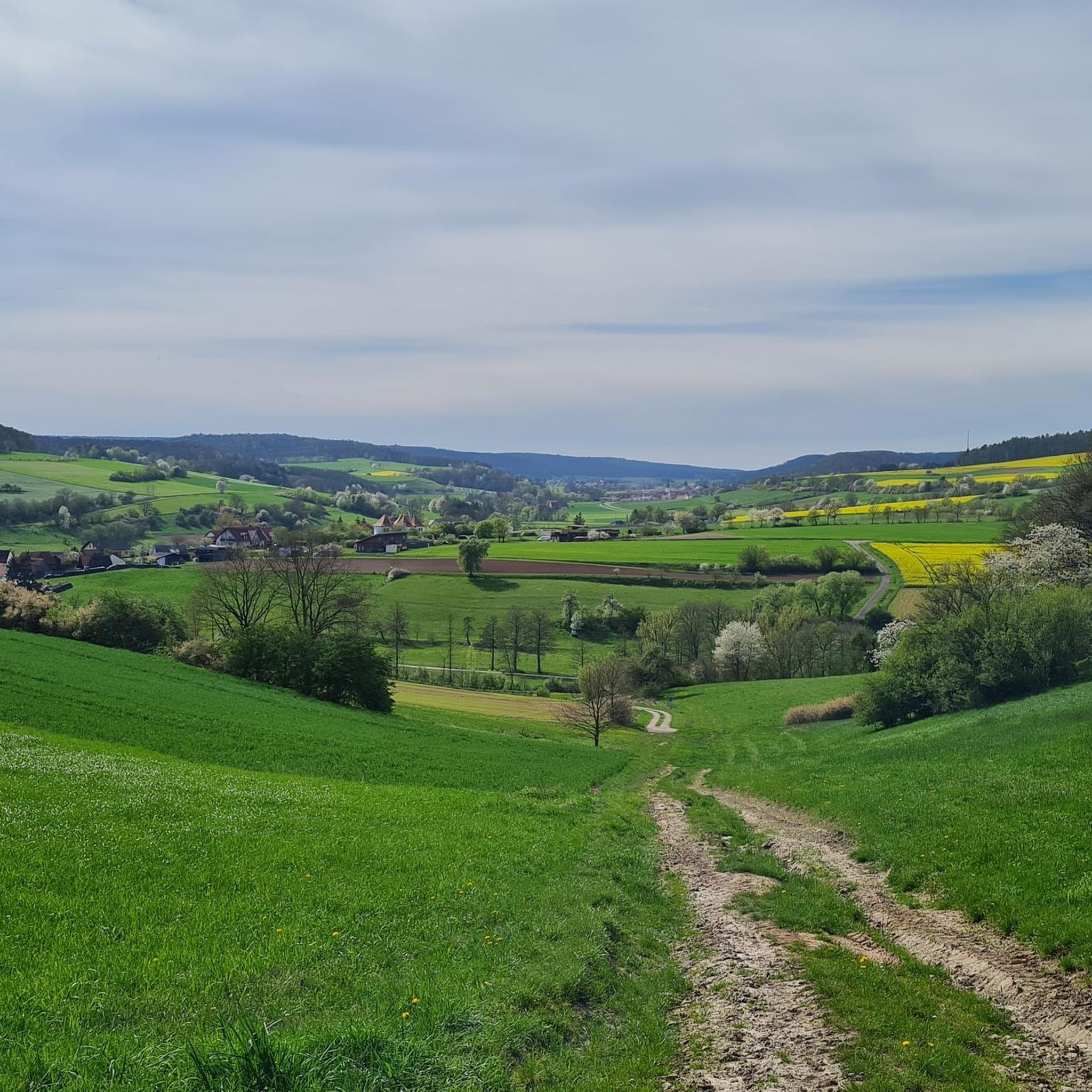
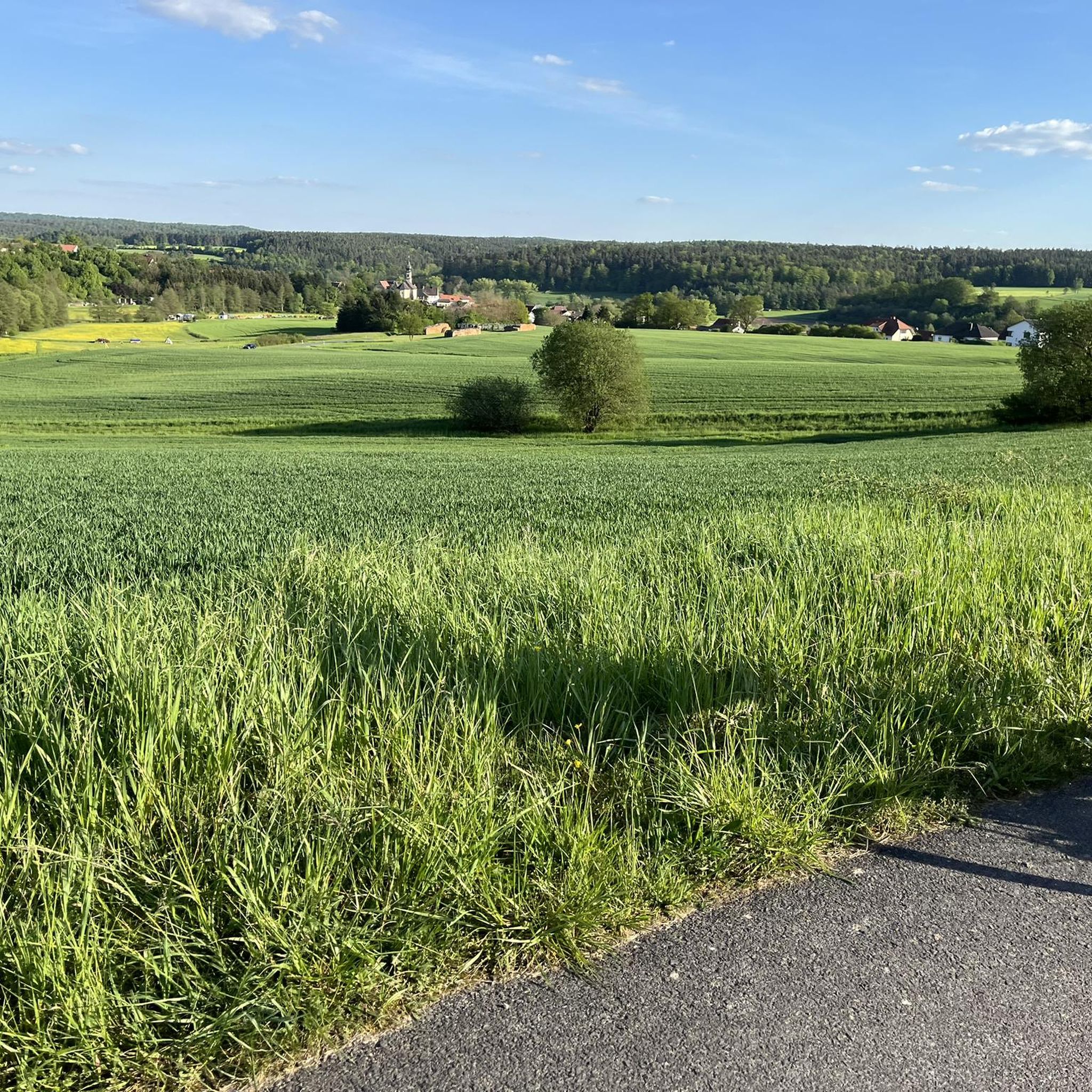
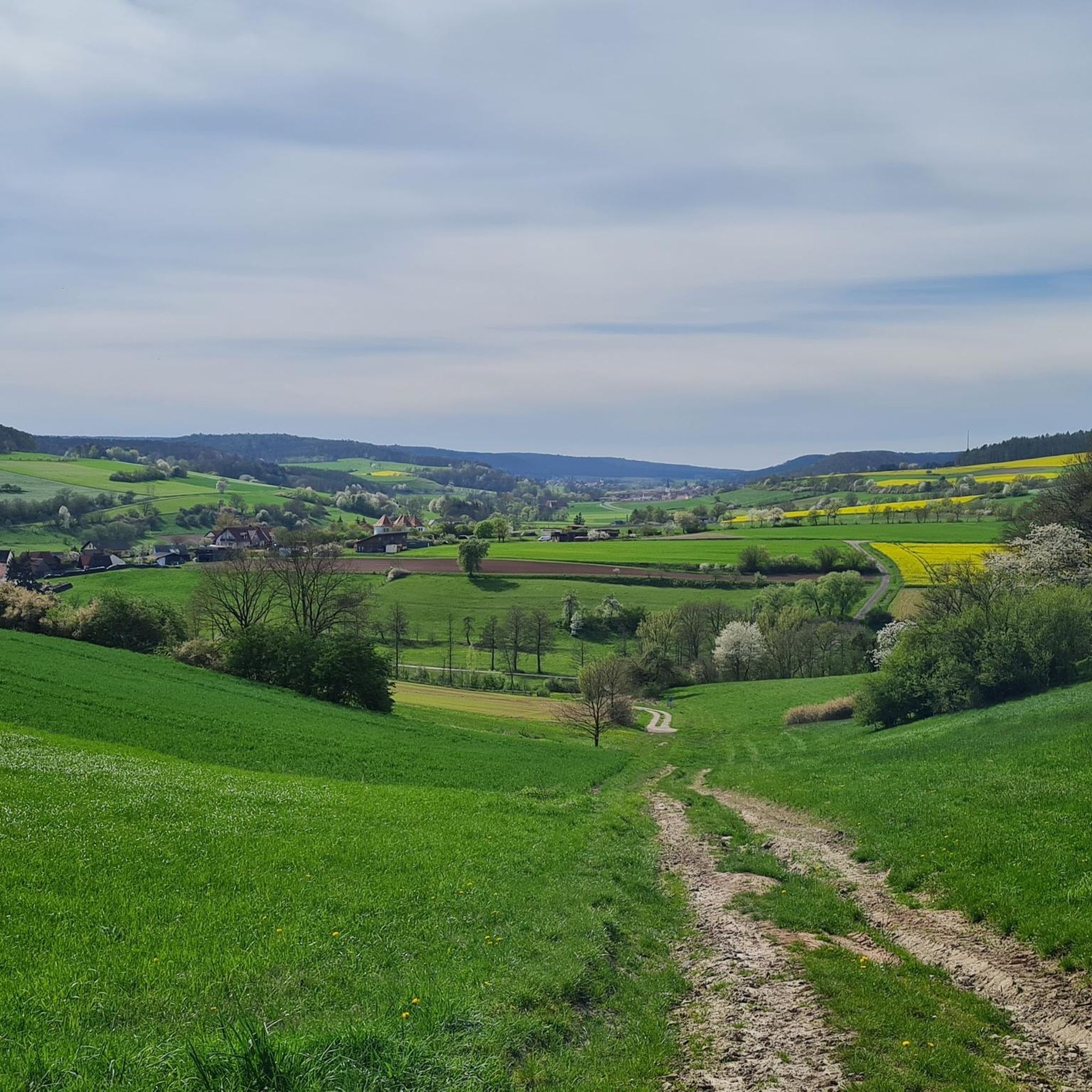
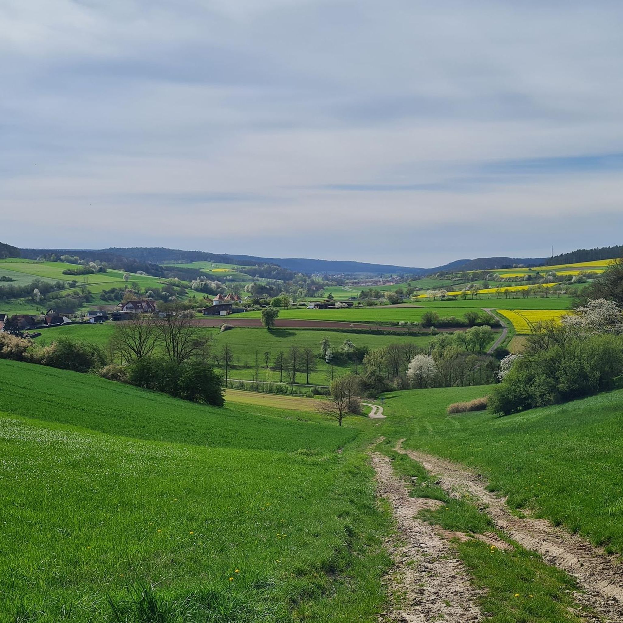
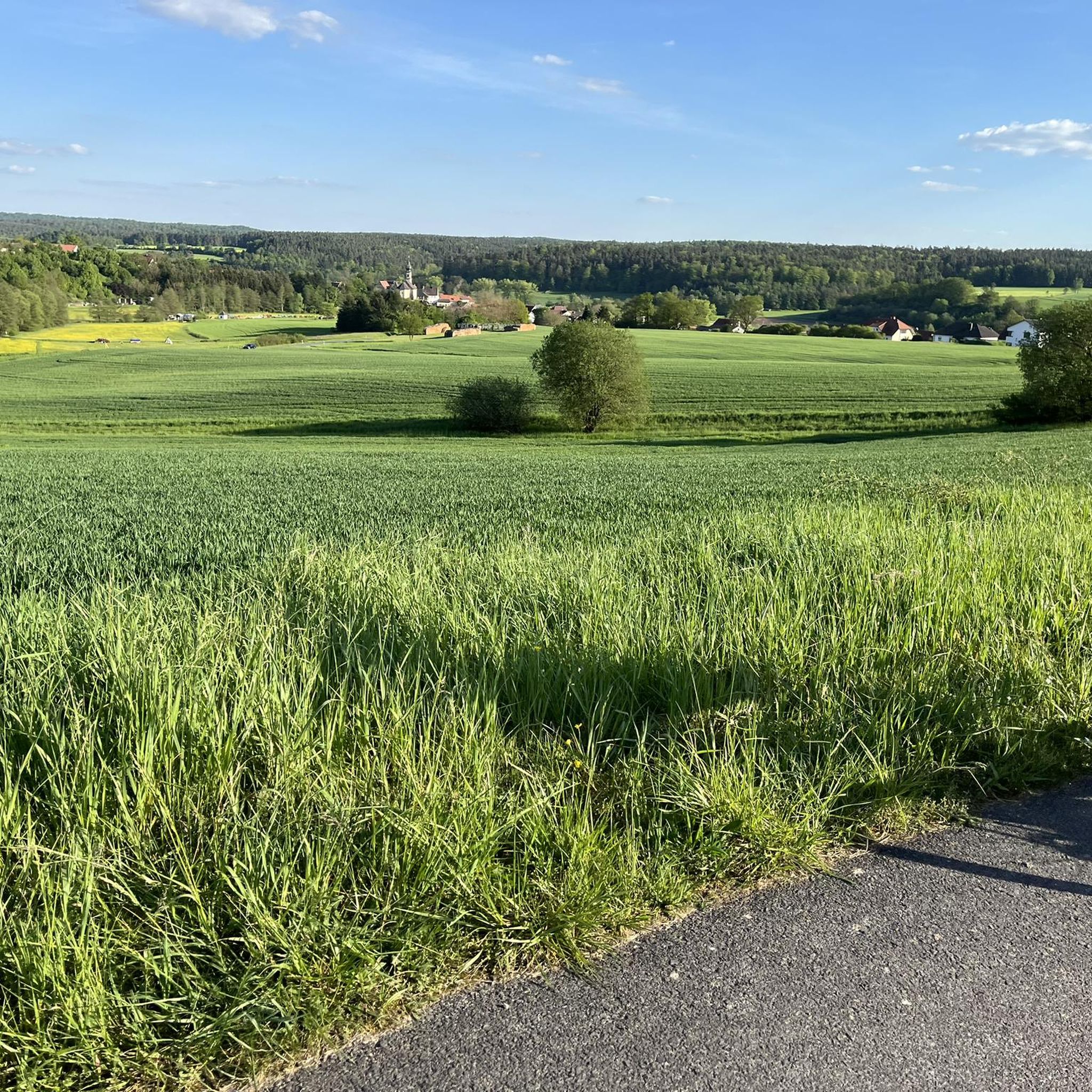
Gravel biking around Rauhenebrach offers a diverse landscape characterized by rolling hills, dense woodlands, and river valleys, providing varied terrain for mixed-surface cycling. The region features a network of paths suitable for gravel bikes, often traversing agricultural areas and connecting small villages. Elevation changes are common, with routes incorporating both gradual climbs and descents.
Best gravel bike trails around Rauhenebrach
- The most popular gravel bike trail is Lower bridge – Old Town Bamberg loop from Priesendorf, a 19.0 miles…
Last updated: May 22, 2026
4
riders
Hard gravel ride. Very good fitness required. You may need to push your bike for some segments of this route.
5.0
(2)
15
riders
30.6km
01:53
370m
370m
Moderate gravel ride. Good fitness required. Mostly paved surfaces. Suitable for all skill levels.

Sign up for free
5.0
(1)
9
riders
Moderate gravel ride. Good fitness required. Mostly paved surfaces. Suitable for all skill levels.
6
riders
60.6km
03:30
560m
560m
Hard gravel ride. Very good fitness required. Mostly paved surfaces. Suitable for all skill levels.
14
riders
56.4km
03:08
400m
400m
Moderate gravel ride. Good fitness required. Mostly paved surfaces. Suitable for all skill levels.
Get access to more routes and recommendations from other explorers.
Sign up for free
Already have an account?
Our route recommendations are based on thousands of hikes, rides, and runs completed by other people on komoot.
Start today with a free account
Your next adventure awaits.
Login or Signup
Popular around Rauhenebrach

Tips from the Community


Bank with a beautiful view
1
0
Beautiful lock system from the Regnitz to the Main-Danube Canal
2
0

It is best to just roll downhill
0
0
There's a bike park here. The trails range from easy to very difficult. The marked trail should be of medium difficulty. It's a lot of fun to ride there.
0
0

A remarkable lock. The old structure, equipped with modern technology, allows the ship's captains to operate the lock themselves.
9
0

Mighty beautiful linden tree in the village center
0
0
The Gaustadt Lock was built in late 1856/57 following the establishment of the ERBA factory. The river was dammed to generate electricity, necessitating the installation of a lock. The power plant is still in operation at this location today.
7
0
Frequently Asked Questions
How many gravel bike trails are available around Rauhenebrach?
There are over 60 gravel bike routes in the Rauhenebrach region, offering a wide range of options for different skill levels. This includes 2 easy, 33 moderate, and 25 difficult trails.
Are there any easy gravel bike trails suitable for beginners in Rauhenebrach?
Yes, Rauhenebrach offers a few easier gravel bike trails. While most routes are moderate, you can find options that are less demanding. For example, the Main riverside near Eltmann – Tretzendorf Ponds loop from Oberaurach is a moderate route that is relatively shorter at 26.4 km, making it a good option for those looking for a less strenuous ride.
What is the best season for gravel biking in Rauhenebrach?
The best seasons for gravel biking in Rauhenebrach are typically spring, summer, and autumn. During these months, the weather is generally mild, and the trails are in good condition. Spring brings blooming landscapes, summer offers warm rides through woodlands, and autumn provides beautiful foliage. Winter can be challenging due to colder temperatures and potential snow or ice, making some trails less accessible.
Are there any circular gravel bike routes in the Rauhenebrach area?
Yes, many of the gravel bike routes around Rauhenebrach are designed as circular loops, allowing you to start and end at the same point. An example is the Rauhe Ebrach Rest Area – Herrmanns Keller Ampferbach loop from Koppenwinder Forst, which covers 36.5 km and offers a scenic circular ride.
What kind of attractions can I see along the gravel bike trails in Rauhenebrach?
The region around Rauhenebrach is rich in historical and natural sights. You can explore various castle ruins such as the Stollburg Ruins or the Zabelstein Castle Ruins. Other points of interest include the Eltmann Main Riverside Promenade and the Historic Old Town of Zeil am Main.
Are there any viewpoints on gravel bike routes near Rauhenebrach?
Yes, the rolling hills and varied terrain of Rauhenebrach offer several opportunities for scenic viewpoints. The Zabelstein Observation Tower and Ruins is a notable highlight that provides panoramic views of the surrounding countryside, often accessible from nearby trails.
What do other gravel bikers enjoy most about the trails in Rauhenebrach?
The komoot community highly rates the gravel biking experience in Rauhenebrach, with an average score of 4.6 stars from over 29 reviews. Riders often praise the diverse landscape, which includes rolling hills, dense woodlands, and river valleys, providing varied terrain for mixed-surface cycling. The network of paths connecting small villages and agricultural areas is also frequently highlighted.
Are there any cafes or places to stop for refreshments along the gravel bike trails?
While specific cafes directly on every trail are not listed, many routes traverse or connect small villages. These villages often have local eateries, bakeries, or traditional 'Gasthäuser' where you can find refreshments. Planning your route to pass through these villages will allow for convenient stops.
What is the typical length of gravel bike routes around Rauhenebrach?
The gravel bike routes around Rauhenebrach vary significantly in length. You can find routes ranging from shorter, more accessible rides to longer, more challenging tours. For instance, routes like the Main riverside near Eltmann – Tretzendorf Ponds loop from Oberaurach are around 26 km, while others can extend to over 50 km, such as the Lembach Chapel – View of the Main River loop from Oberaurach at 56.1 km.
Are there challenging gravel bike routes for experienced riders in Rauhenebrach?
Yes, for experienced riders seeking a challenge, Rauhenebrach offers 25 difficult gravel bike routes. These trails often feature more significant elevation changes and technical sections, providing a demanding and rewarding experience. The region's rolling hills ensure that even moderate routes can offer a good workout.
Is it possible to access gravel bike trails in Rauhenebrach using public transport?
Accessing trails via public transport in rural areas like Rauhenebrach can be limited. While some larger towns might have train or bus connections, direct access to trailheads often requires a car. It's advisable to check local bus schedules for specific villages near your chosen starting point, keeping in mind that bike transport on public buses might have restrictions.
Where can I find parking for gravel biking trails in Rauhenebrach?
Many gravel bike routes in Rauhenebrach start from or pass through villages and towns where public parking is available. Look for designated parking areas in village centers or near popular trailheads. If starting from a specific komoot tour, the tour description or map often indicates suitable parking spots.
Most popular routes around Rauhenebrach
Most popular attractions around Rauhenebrach

Get inspired with the komoot mobile app


Explore more
Browse the best Gravel rides in other regions.
