The best gravel rides around Bastheim
4.6
(24)
96
riders
42
rides
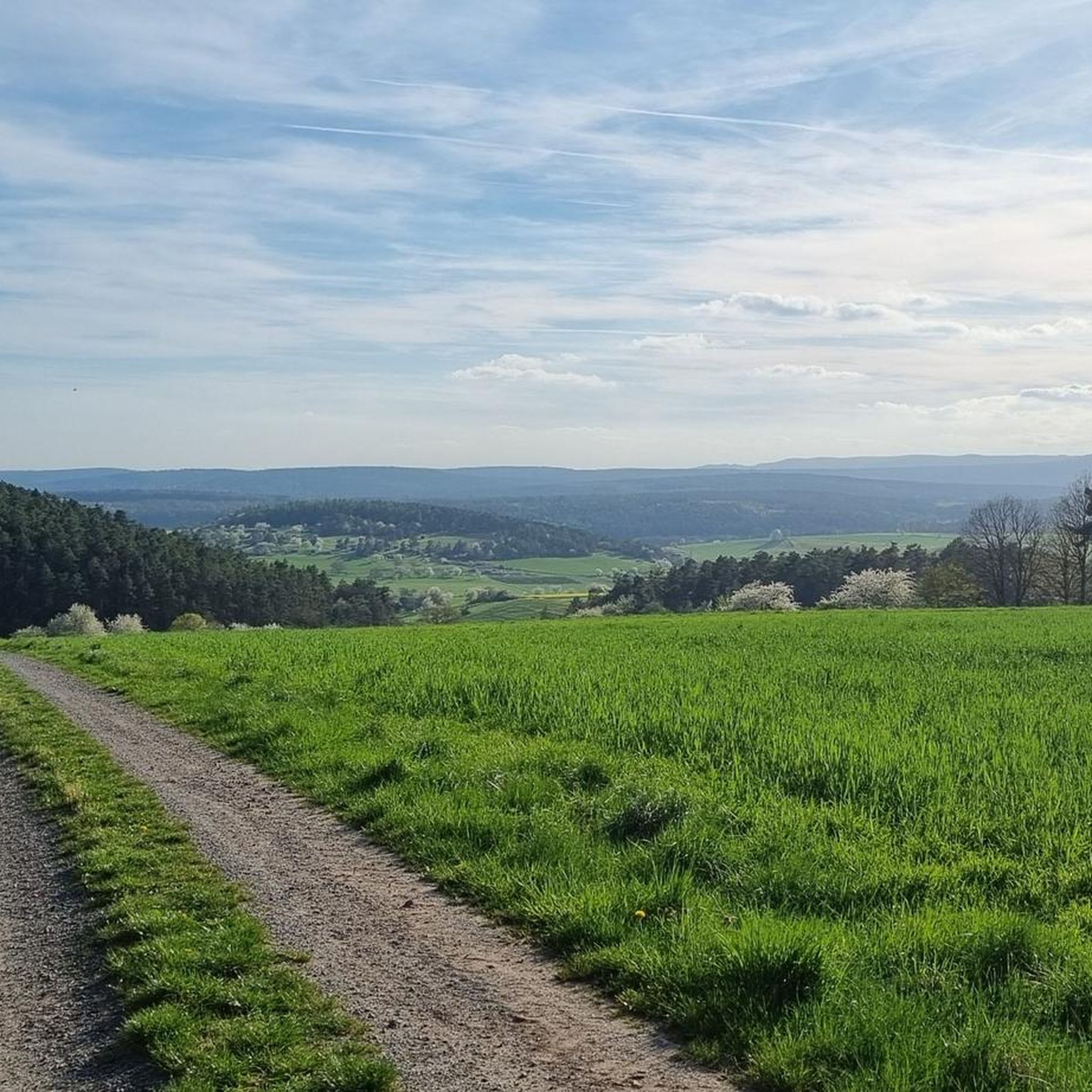
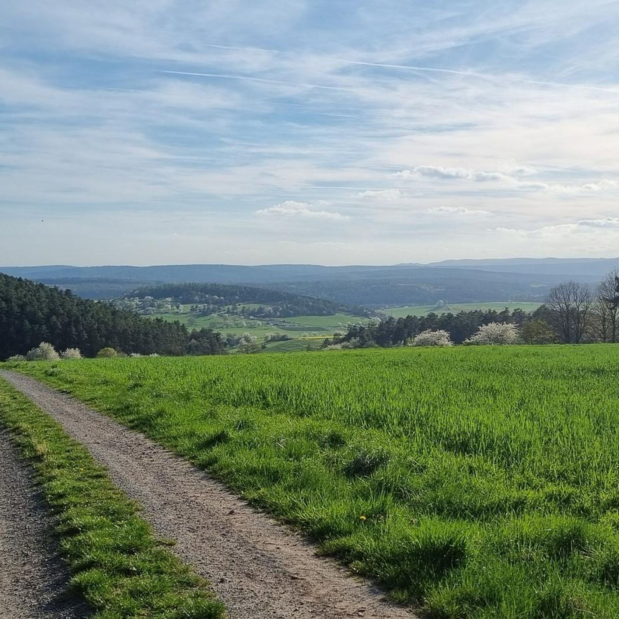
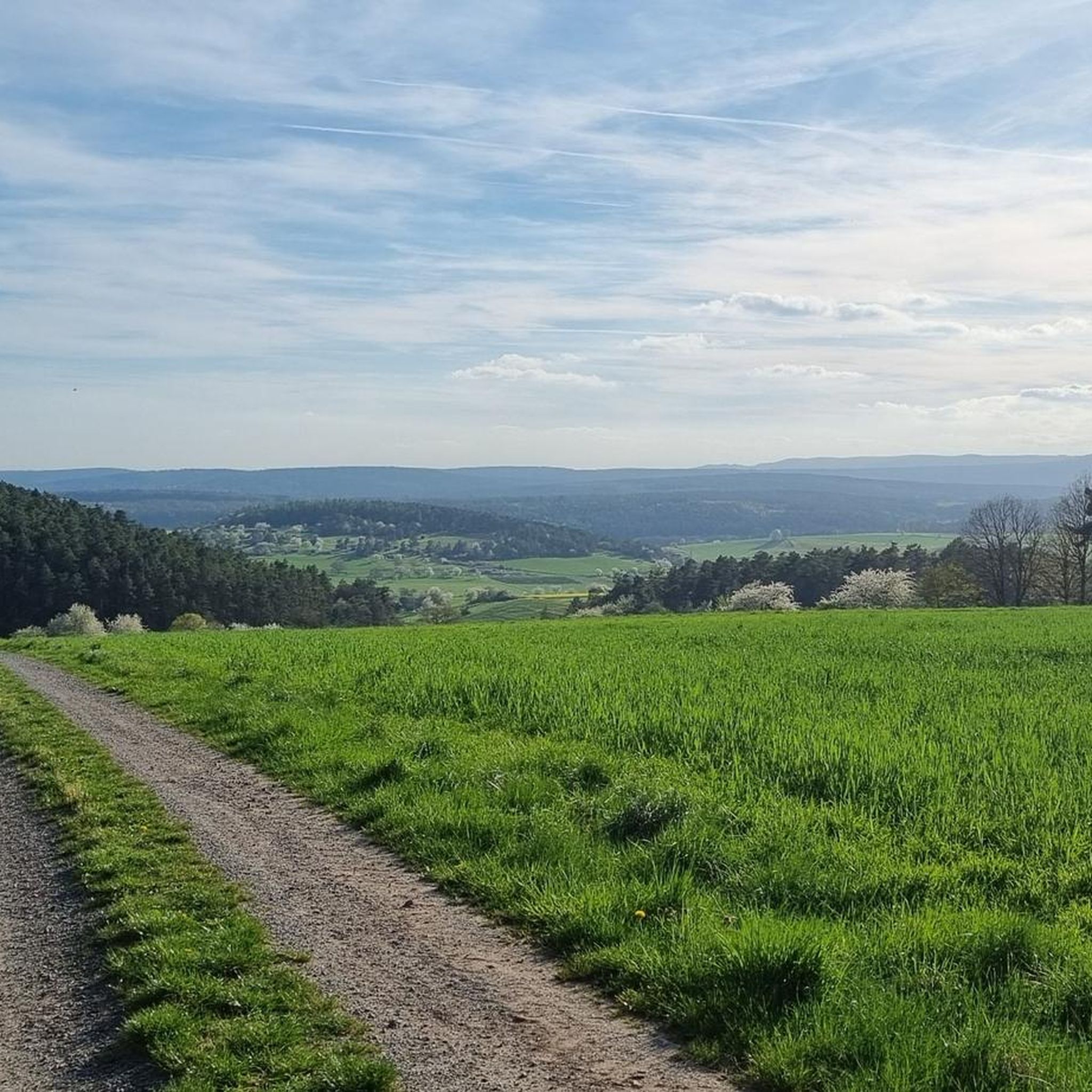
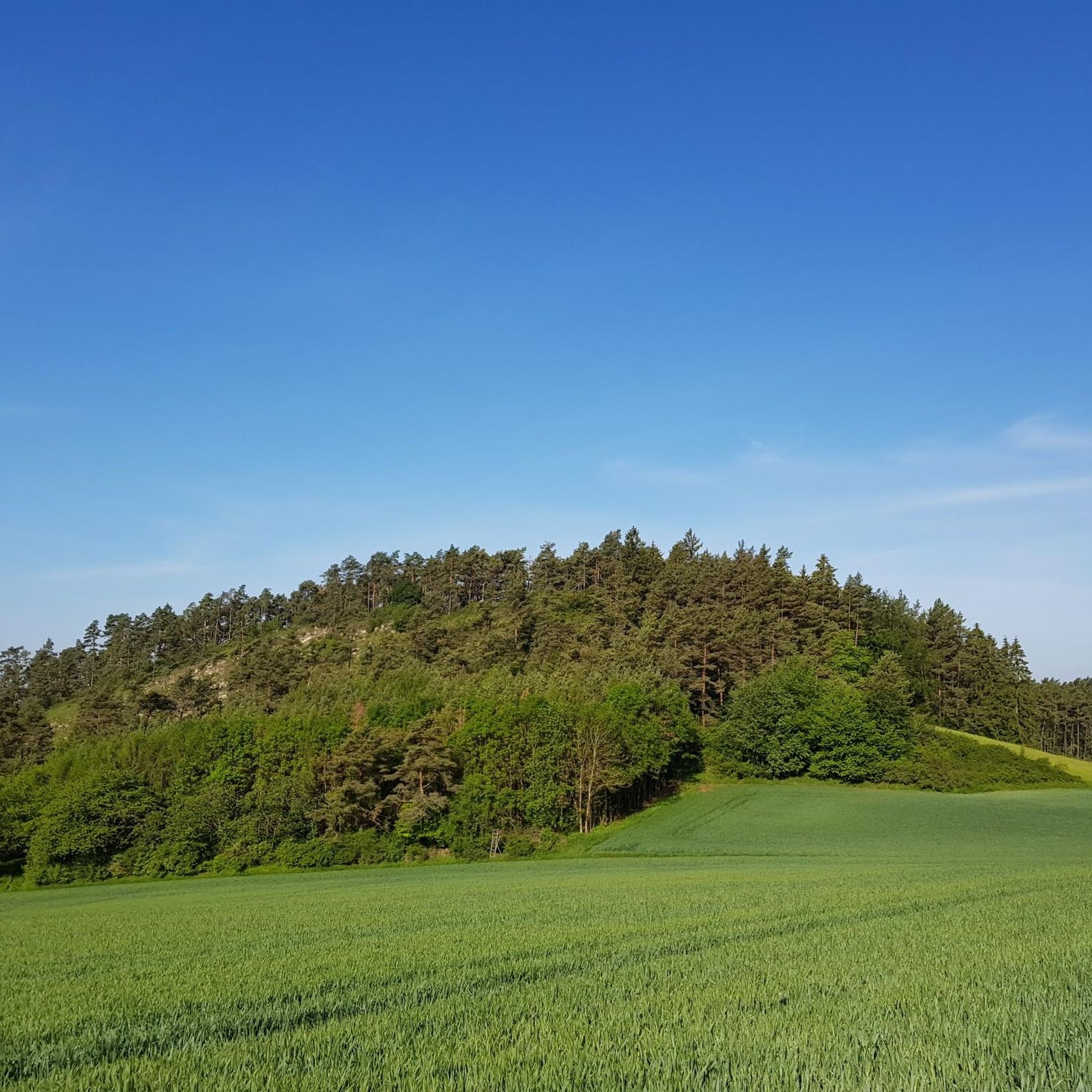
Gravel biking around Bastheim offers diverse terrain within the Rhön Biosphere Reserve, characterized by a low mountain range climate. The landscape features idyllic valleys and gently rising wooded heights, providing varied gradients and surfaces for gravel cyclists. Routes traverse both paved and unpaved sections, including areas with loose ground, making it suitable for a true gravel biking experience. The region includes rolling hills, dense forests, expansive fields, and lush meadows, with notable areas like the Schwarzen Bergen and Neuwirtshaus Forest.
…Last updated: October 6, 2026
4.8
(6)
25
riders
65.6km
03:58
860m
860m
Hard gravel ride. Very good fitness required. Mostly paved surfaces. Suitable for all skill levels.
4.7
(3)
16
riders
46.1km
02:34
310m
310m
Moderate gravel ride. Good fitness required. Mostly paved surfaces. Suitable for all skill levels.

10
riders
42.8km
02:37
410m
410m
Moderate gravel ride. Good fitness required. Mostly paved surfaces. Suitable for all skill levels.
4.5
(4)
9
riders
26.1km
01:33
280m
280m
Moderate gravel ride. Good fitness required. Mostly paved surfaces. Suitable for all skill levels.
4.0
(3)
14
riders
Hard gravel ride. Good fitness required. You may need to push your bike for some segments of this route.
Get access to more routes and recommendations from other explorers.
Already have an account?
Our route recommendations are based on thousands of hikes, rides, and runs completed by other people on komoot.
Start today with a free account
Your next adventure awaits.

Tips from the Community

You have to climb up there, meter by meter, but it's worth it.
0
0

The historic town center of Bischofsheim an der Rhön is characterized by its medieval basic structure and a wealth of traditional building and craftsmanship.
1
0
Remains (bridge piers) of a former railway bridge of the Grabfeldbahn over the Fränkische Saale. The Grabfeldbahn was a single-track branch line in Lower Franconia that connected Bad Neustadt an der Saale with Bad Königshofen im Grabfeld.
3
0
The historic Saale Bridge in Hollstadt is an 18th-century, three-span, round-arched stone bridge. It crosses the Franconian Saale and is now protected as a historical monument.
3
0
Historic stone arch bridge over the Saale.
4
0
Offers a wide panorama of the municipality of Heustreu as well as the surrounding hilly landscape and river valleys (Streu and Fränkische Saale).
3
0
River valley of the Fränkische Saale at the foot of the Rhön in northern Unterfranken. Predominantly flat to gently rolling profile along the river meadows; ideal for beginners, families, as well as pleasure cyclists and hikers. Well-maintained (mostly asphalted or finely gravelled) paths, largely away from motorized road traffic.
3
0

A nice little bridge here.
1
0
Frequently Asked Questions
What kind of terrain can I expect on gravel bike trails around Bastheim?
The gravel bike trails around Bastheim offer a diverse mix of terrain within the Rhön Biosphere Reserve. You'll encounter idyllic valleys and gently rising wooded heights, providing varied gradients and surfaces. Routes often traverse both paved and unpaved sections, including areas with loose ground, making for a true gravel biking experience. Some segments might even require pushing your bike on particularly challenging parts.
Are there any easy gravel bike trails suitable for beginners in Bastheim?
Yes, Bastheim offers options for different ability levels. While many routes are moderate to difficult, there are easier sections. For instance, the Saale Cycle Path – Bad Kissingen Spa Garden loop from Bad Neustadt (Saale) is considered a moderate challenge, offering a good starting point with varied landscapes.
How many gravel bike trails are available in the Bastheim area?
There are over 80 gravel bike trails available around Bastheim, catering to various skill levels and preferences. This includes a good mix of moderate and difficult routes, ensuring there's something for everyone.
What are the typical distances and durations for gravel bike routes in Bastheim?
Gravel bike routes in Bastheim vary significantly in distance and duration. You can find tours ranging from shorter rides of under an hour to extensive journeys lasting over five hours. For example, the Bridge Over the Brend – View of the Rhön loop from Bad Neustadt (Saale) is about 25.6 km and takes around 1 hour 40 minutes, while longer routes can exceed 60 km.
Are there any family-friendly gravel biking options in Bastheim?
While many routes feature varying gradients and loose ground, the idyllic valleys and less challenging sections can be suitable for families. Look for routes that stick to the Elstal valley or similar areas with gentler inclines. Always check the route's difficulty and elevation profile before heading out with family.
What kind of natural features or viewpoints can I expect along the trails?
The region is part of the Rhön Biosphere Reserve, known for its natural beauty. You'll encounter idyllic valleys, gently rising wooded heights, and scenic views of the low mountain range. The View from Bergwachthütte is a notable viewpoint. The Elstal valley itself offers picturesque landscapes.
Are there any circular gravel bike routes around Bastheim?
Yes, many of the gravel bike routes in Bastheim are designed as loops, allowing you to start and end at the same point. Examples include the Cycle Path in the Elstal Valley – Bridge Over the Brend loop from Hollstadt, which offers a substantial circular ride through varied landscapes.
What do other gravel bikers enjoy most about the trails in Bastheim?
The gravel bike trails in Bastheim are highly rated by the komoot community, with an average score of 4.8 stars from over 60 reviews. Reviewers often praise the diverse terrain, the scenic beauty of the Rhön Biosphere Reserve, and the variety of routes available for different skill levels. The mix of paved and unpaved sections, including challenging segments, is also frequently highlighted.
Are there any specific landmarks or attractions near the gravel routes?
Yes, while focusing on the natural landscape, you can find cultural and natural points of interest. Wechterswinkel Abbey, a historic site, is located within Bastheim. For those interested in more active attractions, there are several bike parks nearby, such as the Irenkreuz Trail and Hollstadt Trail. You might also find huts like the Gemündener Hut along some routes.
What is the best time of year for gravel biking in Bastheim?
The Rhön Biosphere Reserve, where Bastheim is located, experiences a low mountain range climate. Spring and autumn generally offer pleasant temperatures and beautiful scenery, making them ideal for gravel biking. Summer can also be great, though some days might be warmer. Winter riding is possible but be prepared for colder temperatures and potentially snowy or icy conditions, especially on higher elevations.
Are there any challenging routes for experienced gravel bikers?
Absolutely. Bastheim offers several difficult routes for experienced riders seeking a challenge. The Münnerstadt Valley – Talkirche loop from Bad Neustadt (Saale) is a difficult 59.3 km path featuring significant elevation gain. Another challenging option is the Kreuzberg Flowtrail Entrance – View of Kreuzberg loop from Brendlorenzen, which includes substantial climbing through wooded areas.
Most popular routes around Bastheim
Most popular attractions around Bastheim

Get inspired with the komoot mobile app


Explore more
Browse the best Gravel rides in other regions.
