The best gravel rides around Maßbach
4.7
(68)
364
riders
43
rides
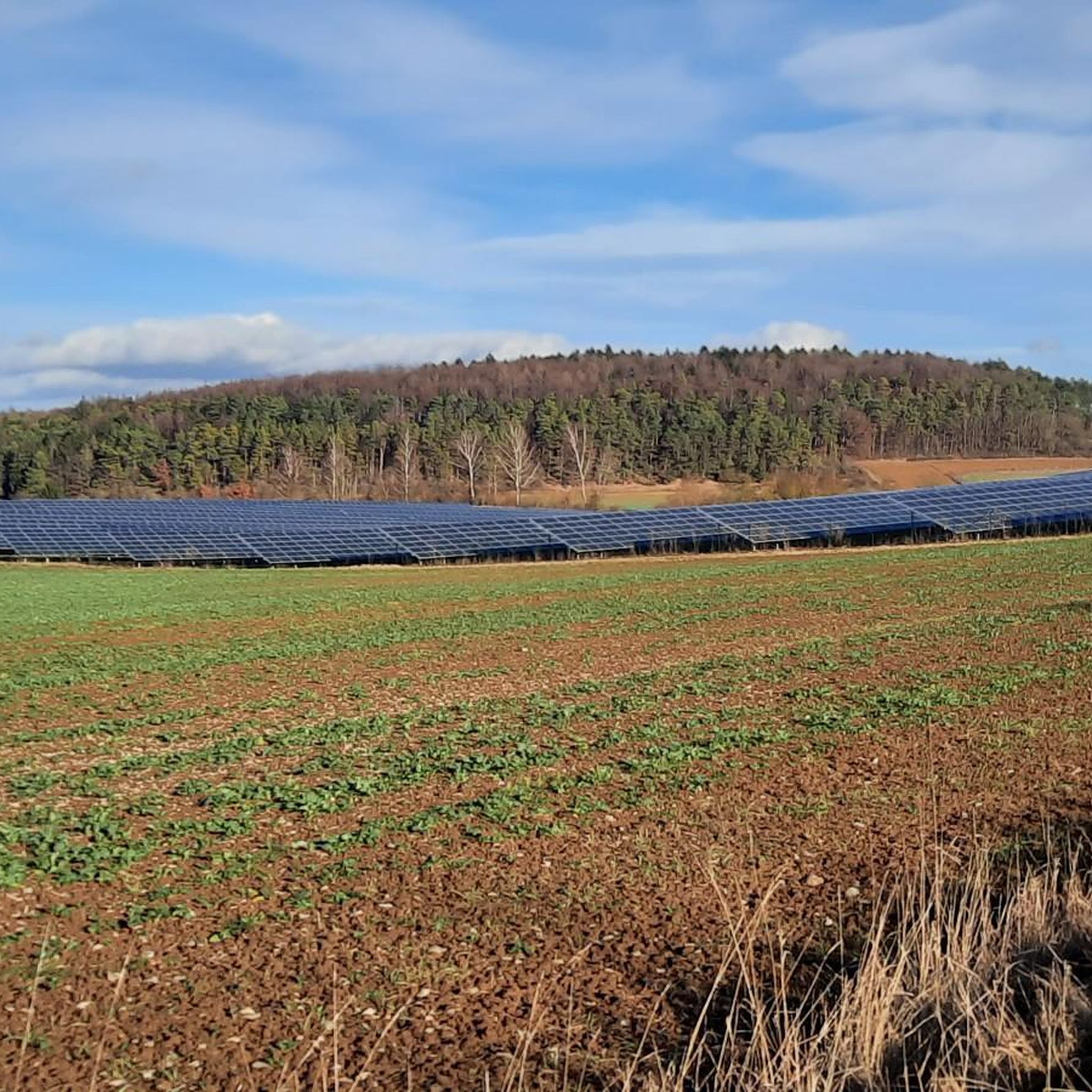
Gravel biking around Maßbach features a landscape characterized by rolling hills, expansive valleys, and a network of trails connecting various natural and historical points of interest. The region includes significant bodies of water like the Ellertshäuser See, offering routes that combine lakeside views with forested sections. Elevation changes are common, providing varied terrain for gravel cyclists. The area's gravel bike trails often traverse agricultural lands and woodlands, with routes ranging from moderate to difficult.
Best gravel bike trails around Maßbach
…Last updated: October 6, 2026
4.4
(16)
64
riders
24.8km
01:18
140m
140m
Easy gravel ride. Great for any fitness level. Mostly paved surfaces. Suitable for all skill levels.
4.7
(6)
24
riders
50.6km
03:14
490m
490m
Hard gravel ride. Very good fitness required. You may need to push your bike for some segments of this route.

5.0
(1)
18
riders
45.3km
02:44
450m
450m
Hard gravel ride. Very good fitness required. You may need to push your bike for some segments of this route.
5.0
(1)
7
riders
22.9km
01:28
230m
230m
Moderate gravel ride. Good fitness required. Mostly paved surfaces. Suitable for all skill levels.
4.6
(8)
20
riders
Moderate gravel ride. Good fitness required. Mostly paved surfaces. Suitable for all skill levels.
Get access to more routes and recommendations from other explorers.
Already have an account?
Our route recommendations are based on thousands of hikes, rides, and runs completed by other people on komoot.
Start today with a free account
Your next adventure awaits.
Tips from the Community

Beautiful to look at, no matter from where
0
0

Beautifully located in the Aschachtal. The Wehr used to be here. Optimal for a short break.
0
0
Either you use the bridge, or for the brave among you, ride through the water. Beautiful here and fun
0
0

Beautiful setting, but appearances are deceiving! The stately estate is visibly falling into disrepair.
0
0

The Christ Church in Altenmünster (Stadtlauringen) belongs to the Evangelical Lutheran parish of Friesenhausen and is a central meeting place for the community in the Schweinfurt district. Due to its excellent acoustics, the church is regularly used for concerts.
2
0

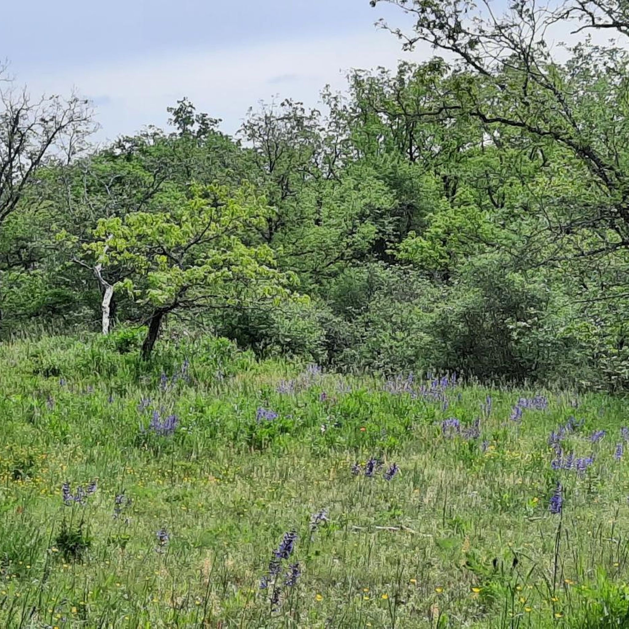
A former military training area with waterholes, numerous hedgerows, and a fair amount of history. The meadows are largely untouched and kept short by sheep, cattle, and horses.
1
0


A beautiful path leads all the way around Lower Franconia's largest lake. The lake is a great place for a break. You can grab a snack at the kiosk and, if the weather's nice, sit on the sandy beach.
0
0
Frequently Asked Questions
How many gravel bike trails are available around Maßbach?
There are over 80 gravel bike trails around Maßbach, offering a wide range of options for different skill levels and preferences. The region is known for its rolling hills, expansive valleys, and scenic routes.
Are there any easy or beginner-friendly gravel bike routes in Maßbach?
Yes, while many routes are moderate to difficult, there are a few easier options. For instance, the Lake Ellertshäuser – View of Lake Ellertshäuser loop from Altenmünster is a moderate 14.1-mile (22.8 km) trail that takes about 1 hour 28 minutes, offering a good introduction to the area's terrain.
What are some challenging gravel bike routes for advanced riders in Maßbach?
Advanced riders will find plenty of challenging terrain. The Ellertshäuser See – Ellertshäuser Lake loop from Pfändhausen is a difficult 31.4-mile (50.5 km) route with significant elevation changes, taking over 3 hours to complete. Another demanding option is the Mainberg Castle – Information Board Der Brönnhof loop from Rannungen, a difficult 28.2-mile (45.4 km) path exploring varied landscapes.
Are there any loop gravel bike routes around Maßbach?
Many of the gravel bike trails in Maßbach are designed as loops, allowing you to start and end at the same point. For example, the Fichtenbusch Hut – Brönnhof loop from Schweinfurter OberLand is a moderate 19.8-mile (31.8 km) loop that takes around 2 hours to complete.
What kind of scenic views can I expect on gravel bike routes in Maßbach?
The region offers diverse scenic views, including expansive valleys, rolling hills, and significant bodies of water. Many routes feature lakeside views, especially around the Ellertshäuser See, and traverse through agricultural lands and woodlands. You'll often find picturesque landscapes combining natural beauty with historical sites.
Are there any natural attractions or landmarks along the gravel bike trails?
Yes, several routes pass by interesting natural and man-made attractions. You can explore areas near the Lower Dam Area, Ellertshäuser Lake, or discover the beauty of Kaskadentalbach (Ilgenbach). The region also features various natural monuments and lakes like Ellertshäuser Lake and Sulzfelder Lake.
What is the best time of year for gravel biking in Maßbach?
The rolling hills and varied terrain of Maßbach are generally enjoyable from spring through autumn. These seasons offer pleasant temperatures and vibrant landscapes. While some routes might be accessible in winter, conditions can vary, so checking local weather and trail conditions is advisable.
Are there any routes that pass by cafes or pubs for a break?
While specific routes aren't highlighted for cafes, the region's trails often connect smaller towns and villages where you can find local establishments. For example, near Sulzfeld Lake, you might find the Beer Garden at Sulzfeld Bathing Lake, which could be a pleasant stop on a longer ride.
What do other gravel bikers enjoy most about the trails in Maßbach?
The gravel biking experience in Maßbach is highly rated by the komoot community, with an average score of 4.7 stars from over 100 reviews. Riders often praise the diverse terrain, the combination of lakeside views with forested sections, and the well-maintained network of trails that cater to various ability levels.
How long do gravel bike routes typically take in Maßbach?
The duration of gravel bike routes in Maßbach varies significantly depending on the distance and difficulty. Shorter, moderate routes like the Lake Ellertshäuser loop can take around 1.5 hours, while longer, more challenging trails such as the Münnerstadt Valley – Talkirche loop from Rannungen (20.4 miles / 32.8 km) can take over 2.5 hours.
Most popular routes around Maßbach
Most popular attractions around Maßbach

Get inspired with the komoot mobile app


Explore more
Browse the best Gravel rides in other regions.
