The best gravel rides around Waldaschaff
4.6
(35)
221
riders
73
rides
Gravel biking around Waldaschaff offers diverse terrain within the Spessart Nature Park, characterized by extensive deciduous forests and rolling hills. The region features deeply cut valleys with clear streams and scenic heights, providing varied elevations for rides. While primarily known for its forested hills, Waldaschaff also provides access to flatter riverside paths along the Main River. This mix of landscapes creates a dynamic environment suitable for various gravel biking experiences.
Best gravel bike trails around Waldaschaff
- The most popular gravel…
Last updated: October 2, 2026
5.0
(5)
32
riders
91.1km
05:09
1,000m
1,000m
Hard gravel ride. Very good fitness required. Mostly paved surfaces. Suitable for all skill levels.
4
riders
59.3km
04:10
980m
980m
Hard gravel ride. Very good fitness required. Mostly paved surfaces. Suitable for all skill levels.

5.0
(1)
12
riders
41.2km
02:33
590m
590m
Hard gravel ride. Very good fitness required. Mostly paved surfaces. Suitable for all skill levels.
5
riders
32.7km
02:32
580m
590m
Hard gravel ride. Very good fitness required. Mostly paved surfaces. Suitable for all skill levels.
4.4
(5)
10
riders
Hard gravel ride. Very good fitness required. You may need to push your bike for some segments of this route.
Get access to more routes and recommendations from other explorers.
Already have an account?
Our route recommendations are based on thousands of hikes, rides, and runs completed by other people on komoot.
Start today with a free account
Your next adventure awaits.

Tips from the Community

The Hafenlohr is a 26.5 km (27.7 km with Tiergartenbach) long, right tributary of the Main in the districts of Aschaffenburg and Main-Spessart in the Bavarian Spessart. The Hafenlohr originates from two springs in the municipality of Rothenbuch. The longer and at times more water-rich source is the Tiergartenbach, which often dries up on dry days. Officially, it is considered the upper course of the main water body of the Hafenlohr. The origin named Hafenlohrquelle in the middle of the village provides water almost all year round. The Hafenlohrquelle is located at Schloss Rothenbuch. It was channeled in sandstone during the widening of the road St 2317. Its water flows through the castle moat northwestward and flows into the bed of the Tiergartenbach about a hundred meters later from the left side, which flows from the Tiergartengrund on the northern edge of the village and is already 1.3 km long. It does not supply water all year round, but at times more than the also perennial spring at the castle. The spring at the castle was probably a meeting point for hunting in the eastern Spessart in the past, which is why the construction of a hunting lodge began here in 1342. The castle moat and some surrounding trout lakes, which no longer exist today, were fed with the emerging spring water. Source and further information: https://de.wikipedia.org/wiki/Hafenlohr_(Fluss)
1
0

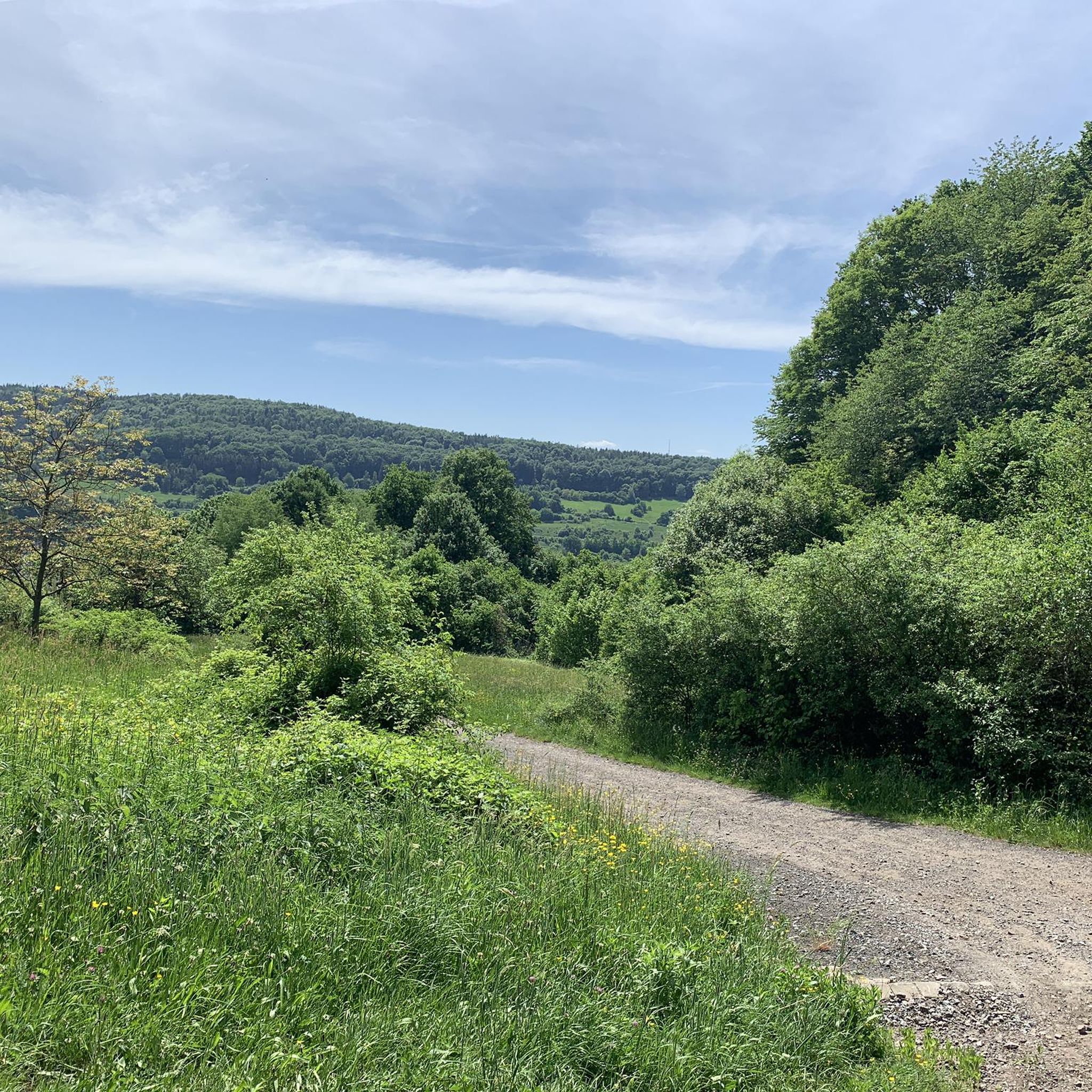
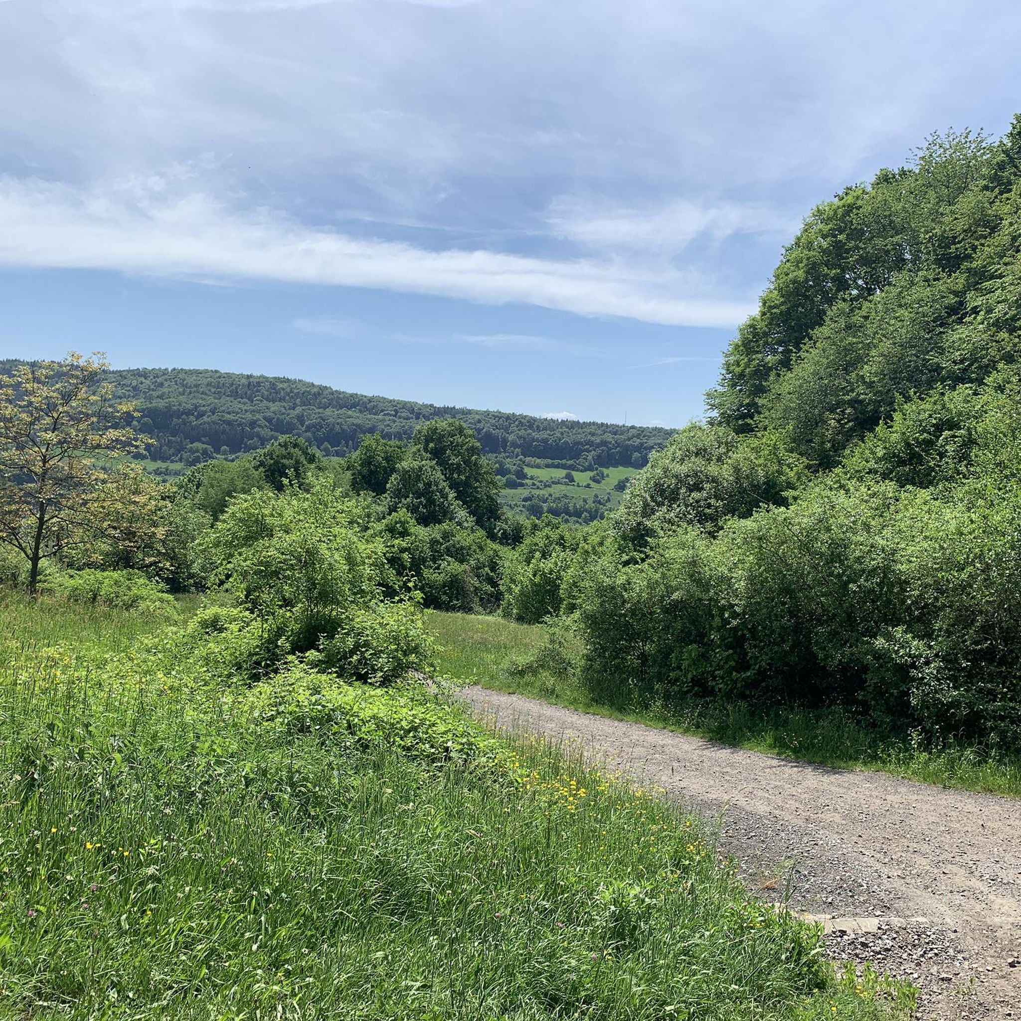
A great viewpoint with a view all the way to the Taunus - Frankfurt. On the other sides are the Odenwald and Spessart.
0
0

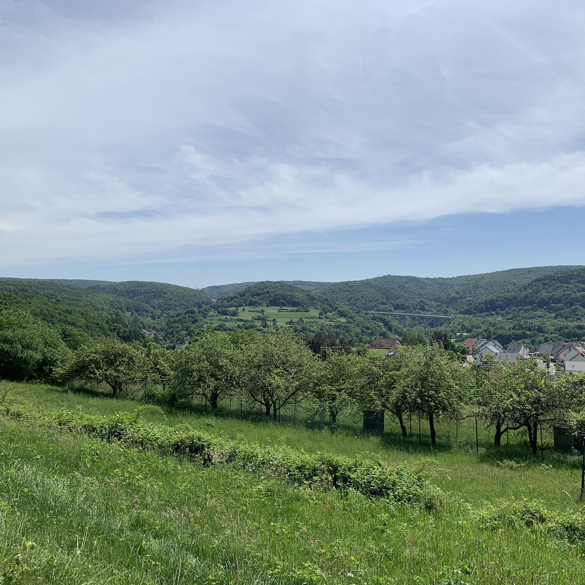
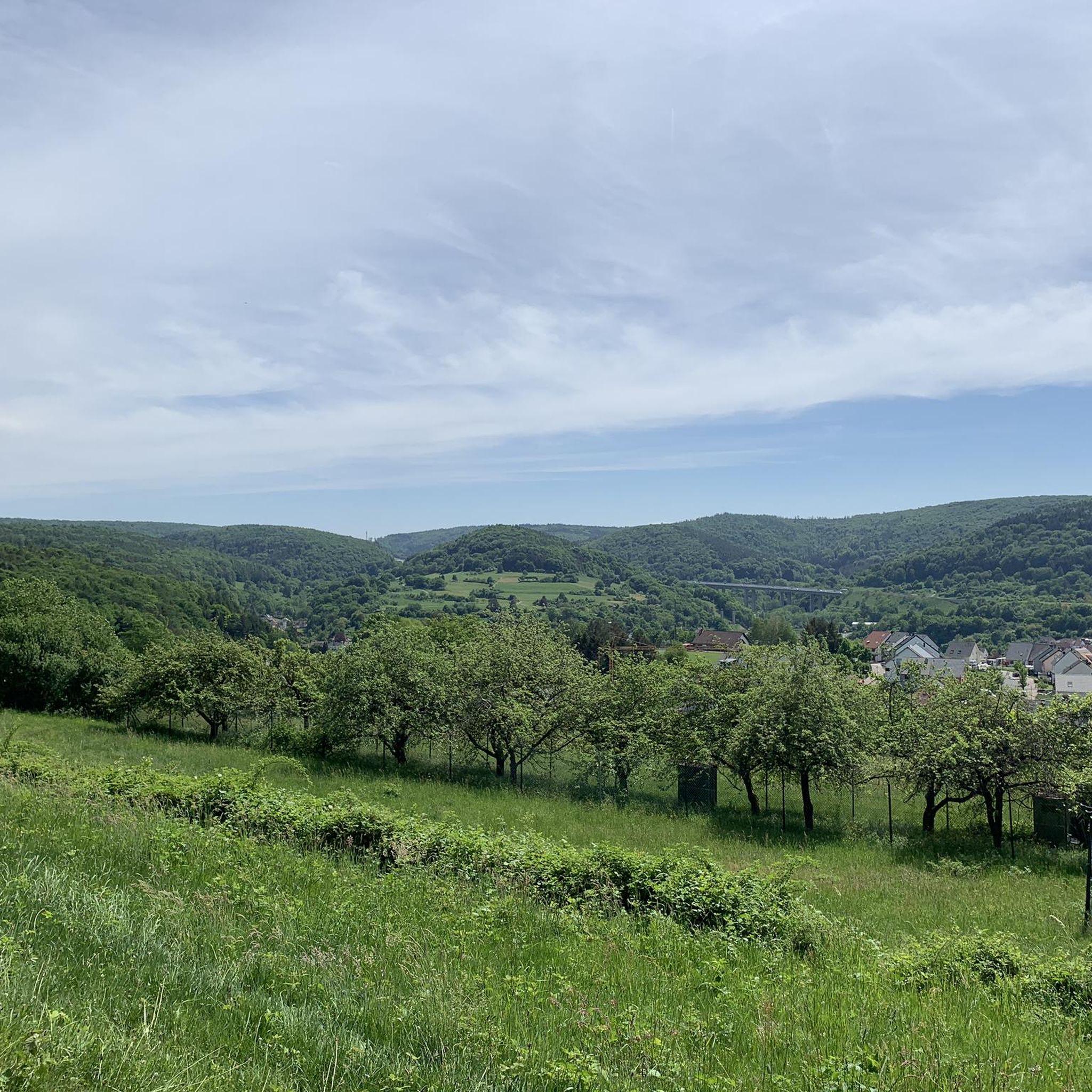
The Hafenlohrtal is wonderfully quiet. And so beautiful.
0
0

With a view of the church ⛪️.
0
0
The Hafenlohr is a 26.5 km (27.7 km with Tiergartenbach) long right tributary of the Main in the districts of Aschaffenburg and Main-Spessart in the Bavarian Spessart. The Hafenlohr originates from two springs in the municipality of Rothenbuch. The longer and sometimes more water-rich spring is the Tiergartenbach, which often dries up on dry days. Officially, it is considered the upper course of the main watercourse of the Hafenlohr. The spring named Hafenlohrquelle, in the middle of the village, provides water almost all year round. The Hafenlohrquelle is located at Rothenbuch Castle. It was channeled in sandstone during the widening of the St 2317 road. Its water flows through the castle moat northwestward and flows, after about a hundred meters, from the left side into the bed of the Tiergartenbach, which comes from the Tiergartengrund on the northern edge of the village and is already 1.3 km long. It does not supply water all year round, but at times more than the also perennial spring at the castle. The spring at the castle was probably once a meeting point for hunting in the eastern Spessart, which is why the construction of a hunting lodge began here in 1342. The spring water fed the castle moat and several surrounding trout ponds, which no longer exist. Source and further information: https://de.wikipedia.org/wiki/Hafenlohr_(Fluss)
1
0
The Hafenlohr is a 26.5 km (27.7 km with Tiergartenbach) long, right-hand tributary of the Main in the districts of Aschaffenburg and Main-Spessart in the Bavarian Spessart. The Hafenlohr originates from two springs in the municipality of Rothenbuch. The longer and at times more water-rich spring branch is the Tiergartenbach, which often dries up on dry days. Officially, it is considered the upper course of the main Hafenlohr water body. The origin named Hafenlohrquelle in the middle of the village provides water almost all year round. The Hafenlohrquelle is located at Rothenbuch Castle. It was channeled in sandstone in the course of the widening of the St 2317 road. Its water flows through the castle moat north-westwards and, after about a hundred meters, flows in from the left into the bed of the Tiergartenbach, which approaches from the Tiergartengrund on the northern edge of the village and is already 1.3 km long. It does not supply water all year round, but at times more than the also perennial spring at the castle. The spring at the castle was probably once a meeting point for hunting in the eastern Spessart, which is why the construction of a hunting lodge began here in 1342. The spring water that welled up was used to supply the castle moat and some surrounding trout lakes, which no longer exist today. Source and further information: https://de.wikipedia.org/wiki/Hafenlohr_(Fluss)
1
0

A good (and only) spot to refill your food and water supplies. Check opening hours!
1
0

Very nice trail, feels completely flat.
0
0
Frequently Asked Questions
How many gravel bike trails are there around Waldaschaff?
There are over 120 gravel bike trails available around Waldaschaff, offering a wide range of options for different skill levels and preferences. The komoot community has explored these routes extensively, with over 400 gravel bikers using komoot to discover the area.
What kind of terrain can I expect on gravel bike trails in Waldaschaff?
Gravel biking around Waldaschaff offers a diverse mix of terrain. You'll find tranquil forest paths, rolling hills with rewarding ascents and descents, and deeply cut valleys with clear streams within the Spessart Nature Park. There are also flatter riverside sections along the Main River for less strenuous rides, providing a dynamic environment for all types of gravel experiences.
Are there any family-friendly gravel biking options in Waldaschaff?
Yes, the region offers routes suitable for families. While many trails feature rolling hills, the extensive network includes forest and field roads without extreme gradients, which are ideal for a more relaxed pace. Look for routes described as 'easy' or those that stick to the flatter riverside paths along the Main River for a family-friendly experience.
What are the best times of year for gravel biking in Waldaschaff?
The best times for gravel biking in Waldaschaff are generally spring, summer, and autumn. During these seasons, the weather is most favorable for exploring the diverse terrain. Spring brings lush greenery, summer offers warm days, and autumn showcases beautiful fall foliage in the Spessart forest. Winter riding is possible but requires appropriate gear for colder temperatures and potentially muddy or icy conditions.
What do other gravel bikers enjoy most about the trails in Waldaschaff?
The gravel bike trails around Waldaschaff are highly rated by the komoot community, with an average score of 4.5 stars from more than 80 reviews. Riders frequently praise the varied terrain, the scenic beauty of the Spessart Nature Park with its dense forests and rolling hills, and the extensive network of paths that cater to different fitness levels.
Are there any circular gravel bike routes available?
Yes, many of the gravel bike routes around Waldaschaff are designed as loops, allowing you to start and end your ride in the same location. For example, the challenging route Giant Sequoia at Kreuzgrund – Eselsweg Trail Marker loop from Hösbach is a popular circular option, as is the scenic Ludwig Tower (Hahnenkamm) – View from the Ludwigsturm loop from Hösbach.
Are there any specific viewpoints or scenic spots along the gravel trails?
Absolutely! The rolling hills and varied elevations in the Spessart Nature Park offer numerous spots with breathtaking views. Routes like the Ludwig Tower (Hahnenkamm) – View from the Ludwigsturm loop from Hösbach are known for panoramic vistas. You can also find scenic spots overlooking the Aschaff and Main valleys, providing picturesque backdrops for your ride.
What interesting natural attractions can I see near the gravel bike trails?
Beyond the beautiful forests and rolling hills, you can explore several natural attractions. The region features deeply cut valleys like the Hohenlortal Valley or the Seebach Valley. There are also several serene lakes nearby, such as Waldsee Heimbuchenthal and Bomigsee, Rothenbuch, which can be pleasant stops on your gravel adventure.
Are there any historical landmarks or cultural sites accessible by gravel bike?
The Spessart region is rich in history. While gravel biking, you might encounter remnants of old trade routes like the Birkenhainer Straße. Information boards along some trails tell stories about Electoral Mainz castles and ancient trade routes, adding a cultural dimension to your ride. Although not directly on a gravel route listed here, the region is known for historical landmarks like Johannisburg Castle in nearby Aschaffenburg.
Where can I find parking for gravel biking trails in Waldaschaff?
Parking is generally available at various starting points for trails around Waldaschaff. Many routes, especially those starting from towns like Hösbach or Laufach, will have designated parking areas for hikers and cyclists. It's advisable to check the specific route details on komoot for recommended parking spots near your chosen starting point.
Are there any gravel bike routes that include stops at cafes or restaurants?
While specific routes are not highlighted for cafe stops, many trails pass through or near villages where you can find local cafes and restaurants. The Main River cycling network, accessible from Waldaschaff, often leads through idyllic villages with half-timbered houses where you can refuel. Planning your route with komoot allows you to identify potential stops along the way.
Can I reach gravel bike trails near Waldaschaff using public transport?
Waldaschaff and its surrounding towns are connected by public transport, making it possible to access some gravel bike trails without a car. For routes starting from towns like Laufach or Hösbach, you can often find train or bus connections. It's recommended to check local public transport schedules and bike carriage policies when planning your trip.
Most popular routes around Waldaschaff
Most popular attractions around Waldaschaff

Get inspired with the komoot mobile app


Explore more
Browse the best Gravel rides in other regions.
