The best gravel rides around Forchtenberg
4.8
(10)
60
riders
20
rides
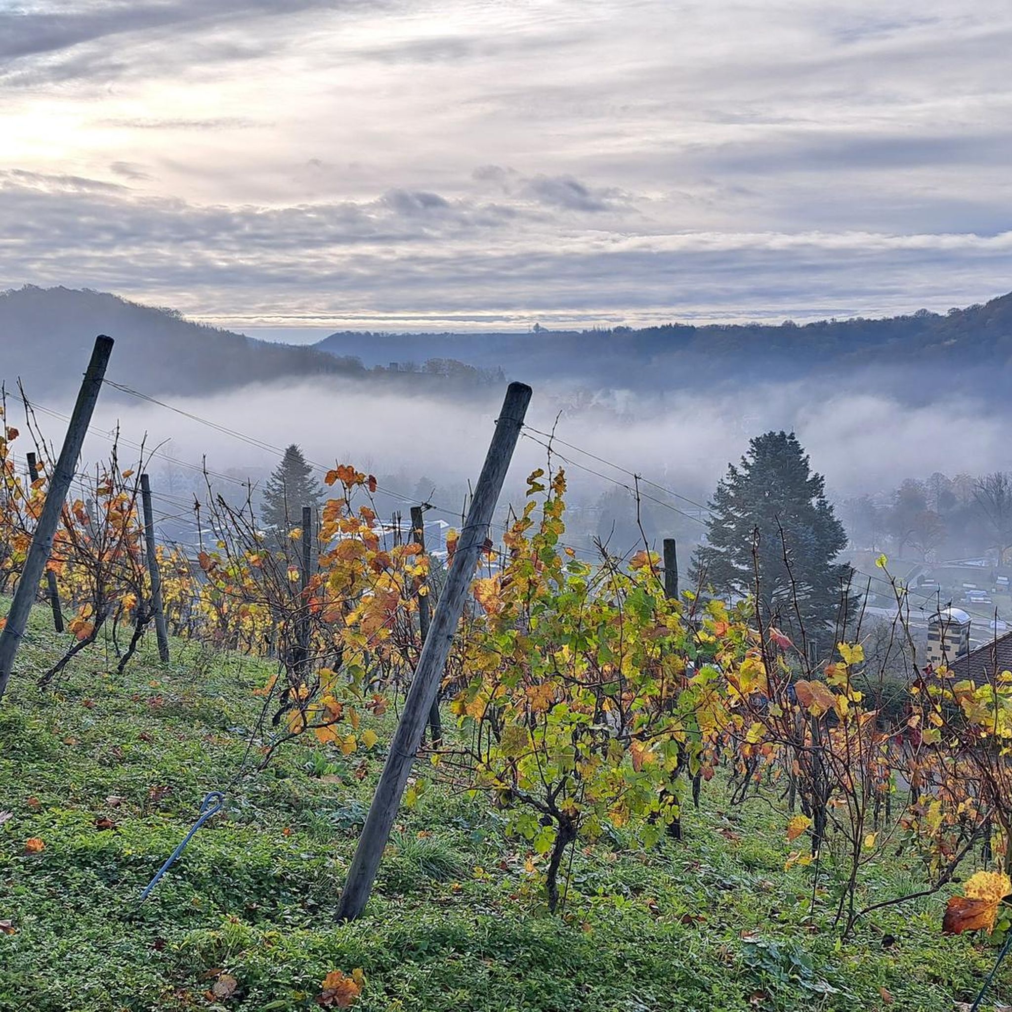
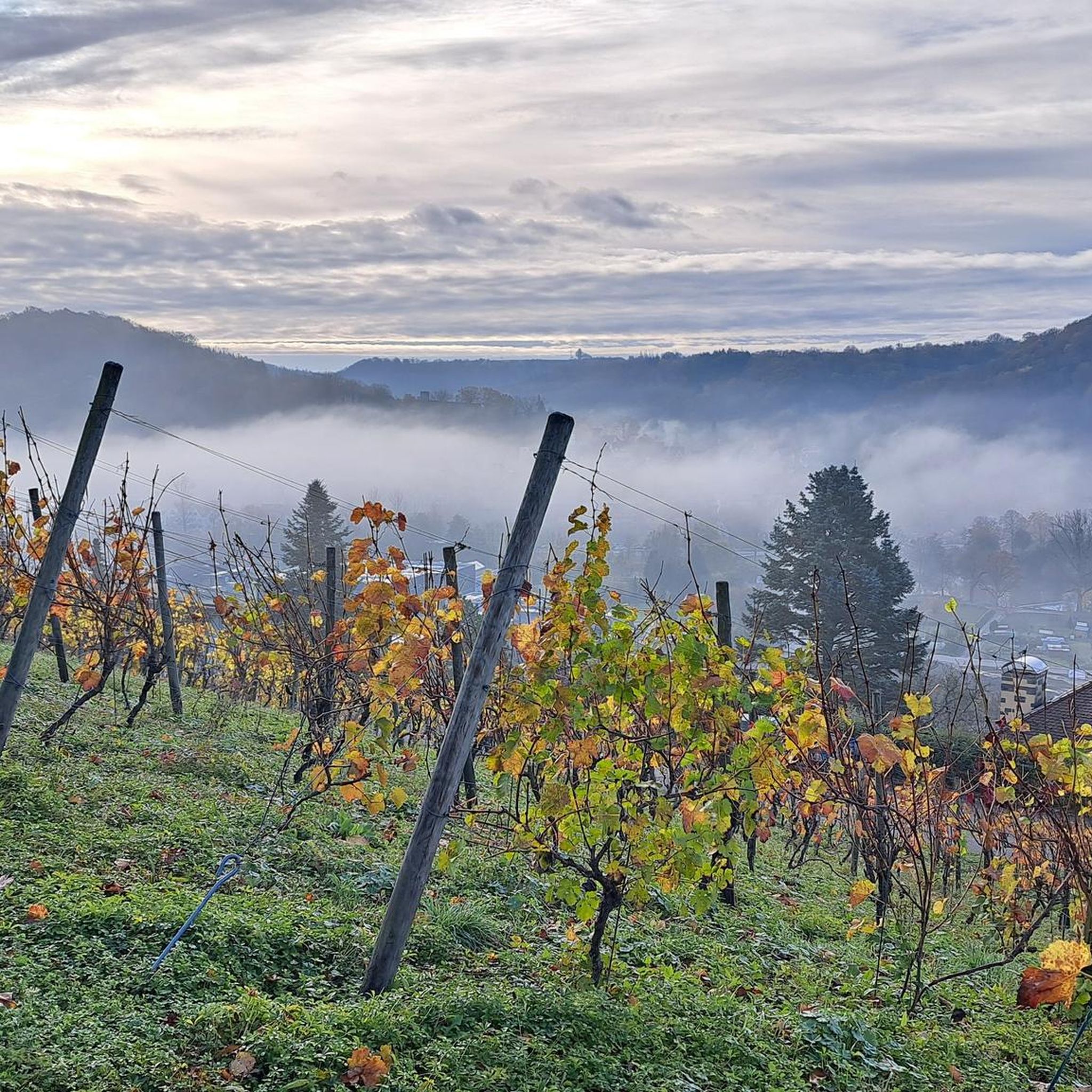
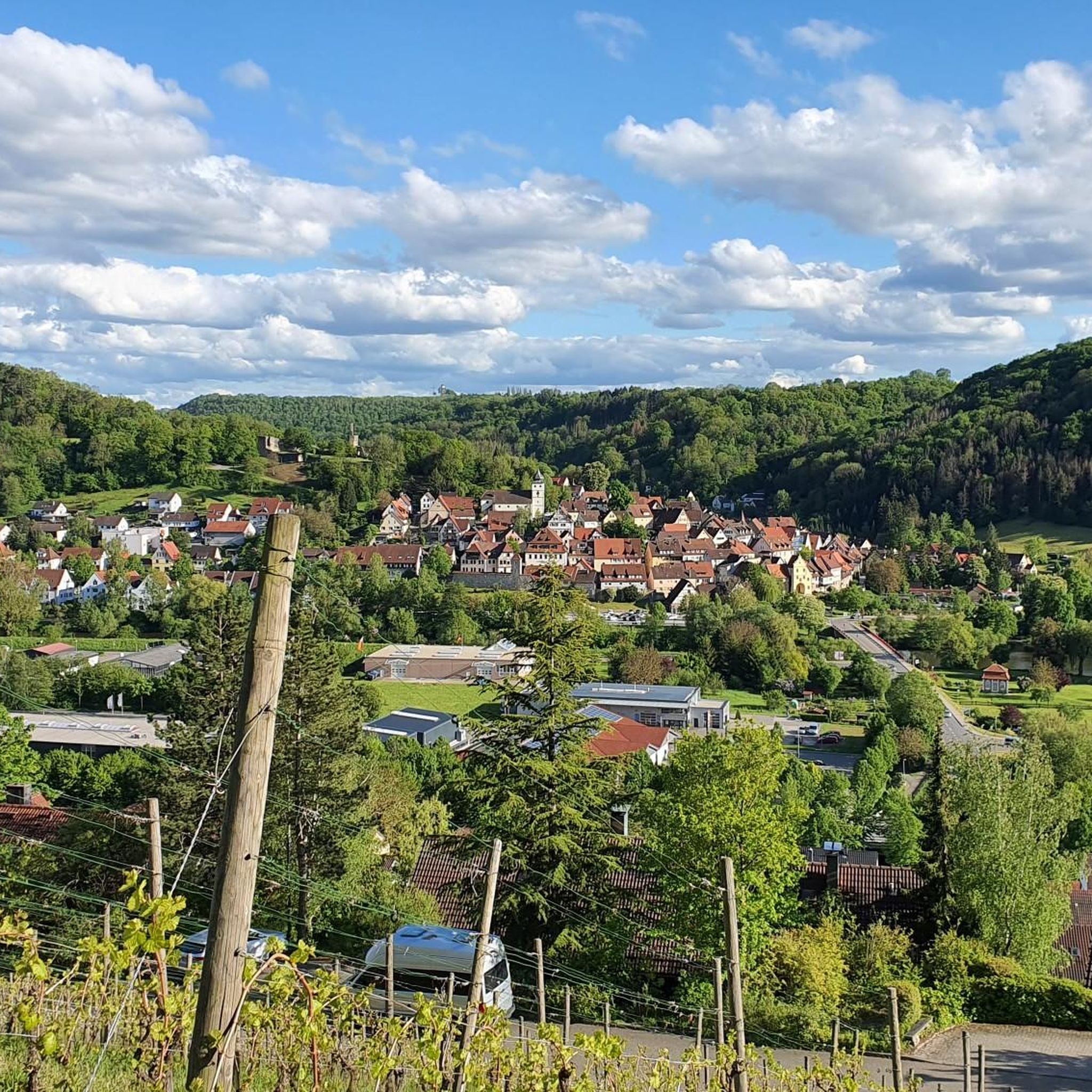
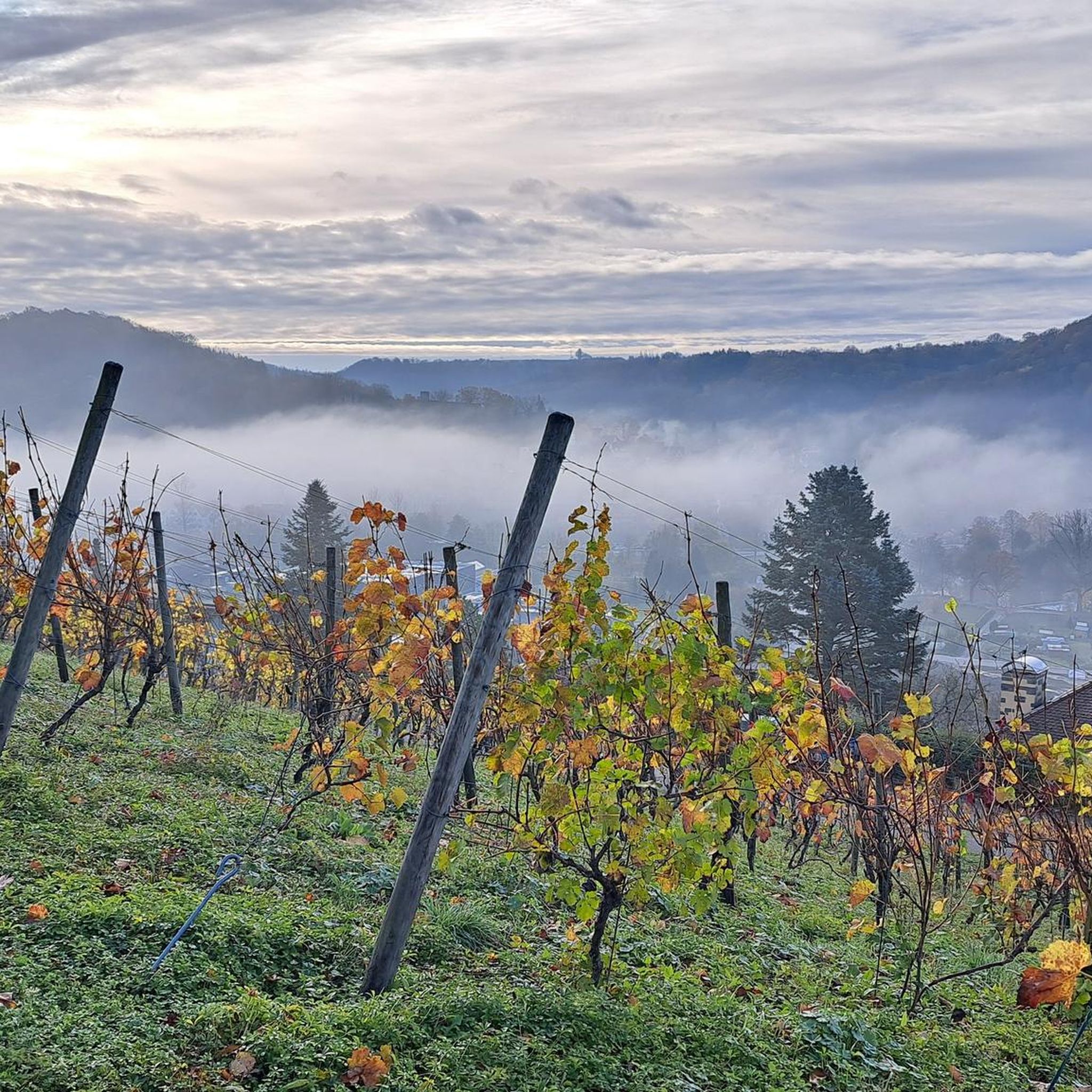
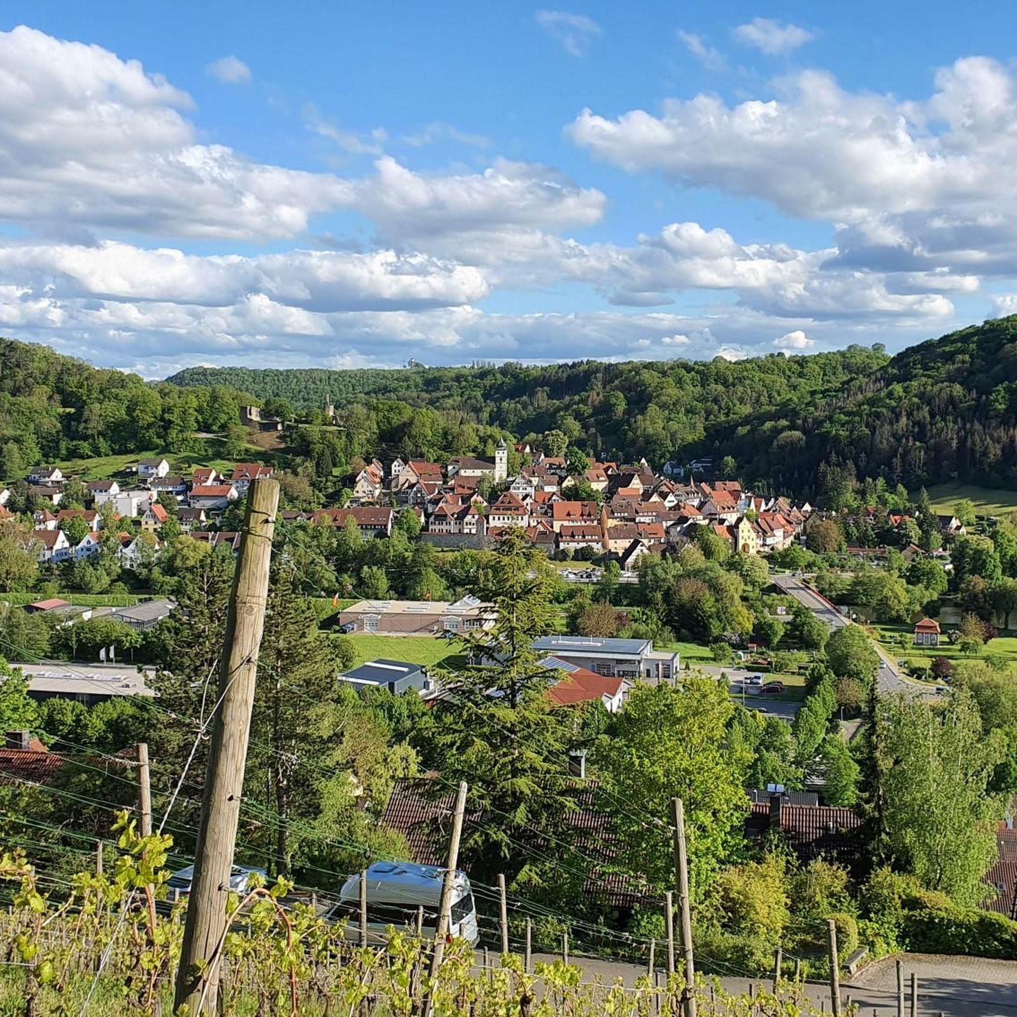
Gravel biking around Forchtenberg offers varied terrain within the Hohenlohe district, characterized by the serene Kocher and Kupfer river valleys, where the Kupfer flows into the Kocher. The region features gently rolling hills, extensive mixed forests, and the elevated Hohenlohe plateau. Cyclists can navigate through steep vineyards on south-facing slopes, discover tranquil river bends, and traverse peaceful meadow landscapes, providing diverse landscapes suitable for gravel biking.
Best gravel bike trails around Forchtenberg
- The most popular gravel bike trail is Ohrntal…
Last updated: October 6, 2026
4.2
(6)
27
riders
Moderate gravel ride. Good fitness required. Mostly paved surfaces. Suitable for all skill levels.
5.0
(2)
15
riders
43.9km
02:35
480m
480m
Hard gravel ride. Very good fitness required. Mostly paved surfaces. Suitable for all skill levels.

5.0
(1)
4
riders
54.2km
03:51
1,150m
1,150m
Hard gravel ride. Very good fitness required. Mostly paved surfaces. Suitable for all skill levels.
7
riders
23.8km
01:25
300m
300m
Moderate gravel ride. Good fitness required. Mostly paved surfaces. Suitable for all skill levels.
5
riders
Moderate gravel ride. Good fitness required. Mostly paved surfaces. Suitable for all skill levels.
Get access to more routes and recommendations from other explorers.
Already have an account?
Our route recommendations are based on thousands of hikes, rides, and runs completed by other people on komoot.
Start today with a free account
Your next adventure awaits.
Popular around Forchtenberg
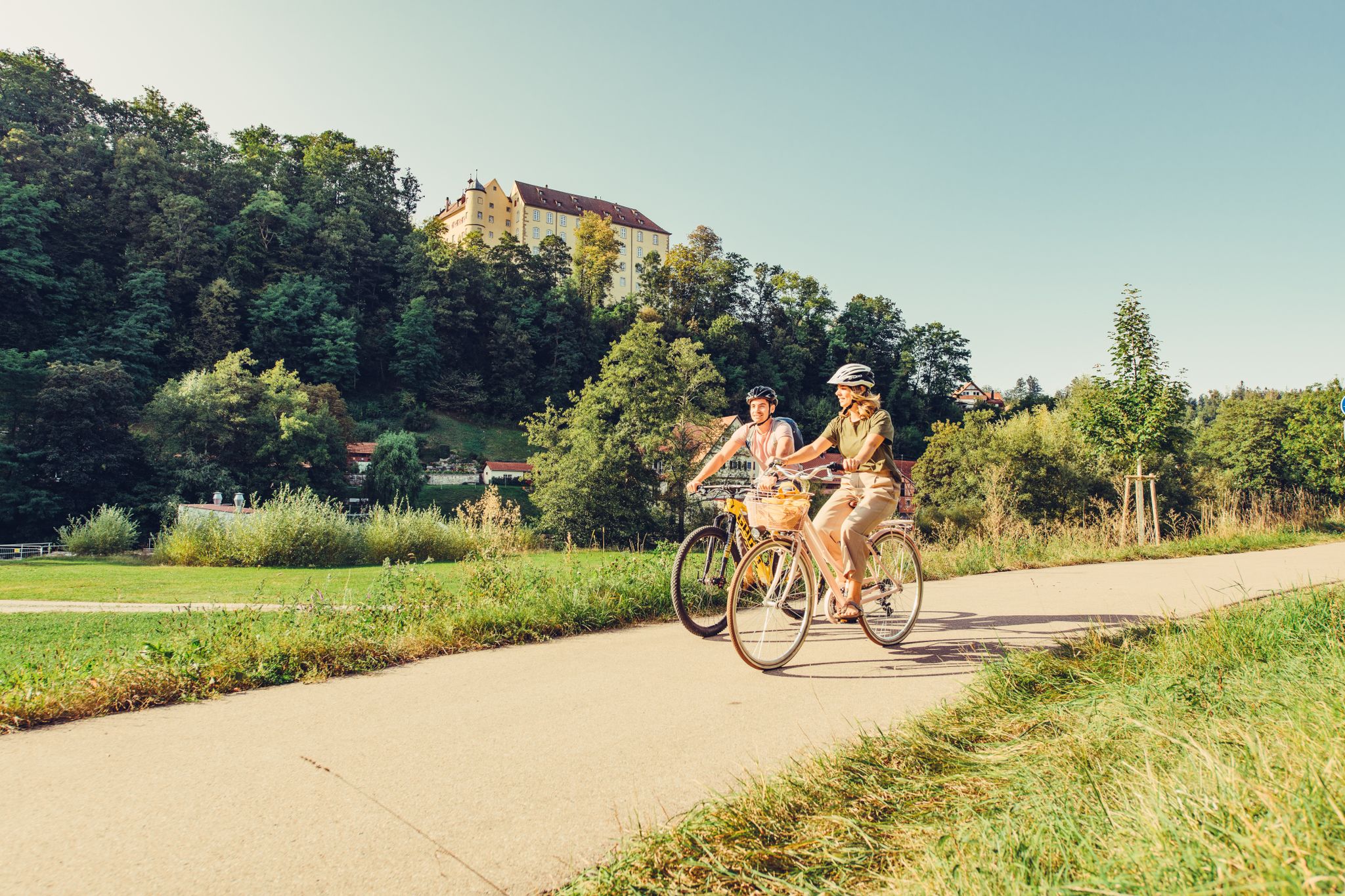
6 stages on the Kocher-Jagst cycle path through southern Germany
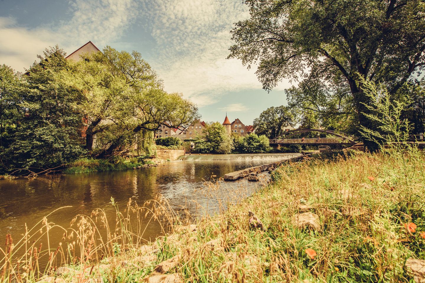
Relaxed river riding in Germany – Kocher-Jagst Cycle Path
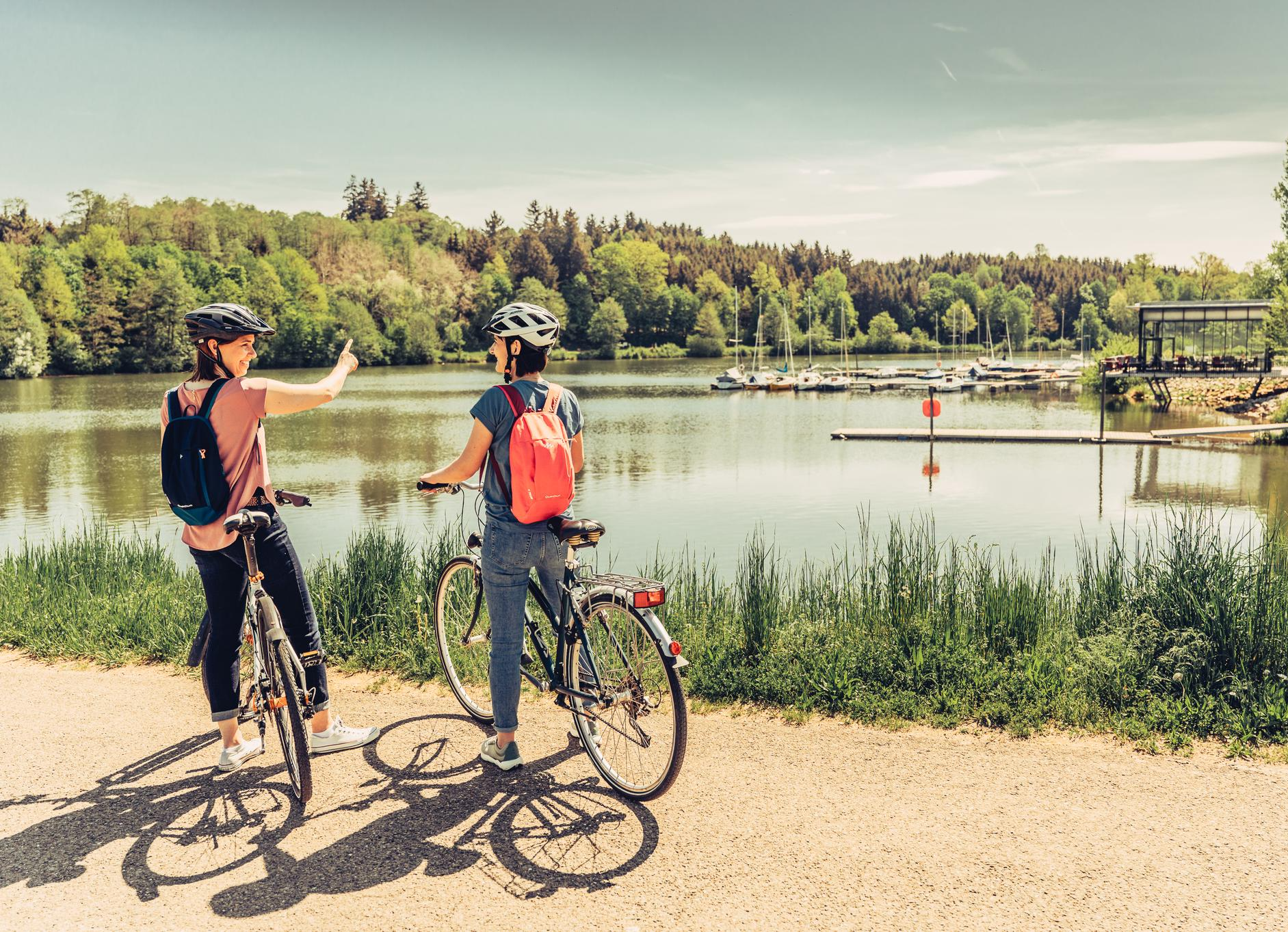
Zwei Flüsse, viele Geschichten – Unterwegs auf dem Kocher-Jagst-Radweg
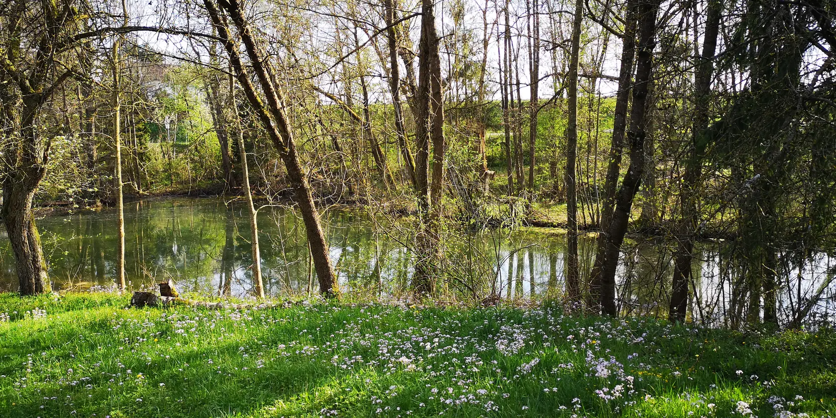
Aktiv in die längeren Tage – Frühlingsradeln im Norden Baden-Württembergs
Cycling around Forchtenberg
Hiking around Forchtenberg
Running Trails around Forchtenberg
MTB Trails around Forchtenberg
Road Cycling Routes around Forchtenberg
Other adventures around Forchtenberg


Tips from the Community

Already from the ground, but especially from the 30 m high observation tower, there is a beautiful view over the Weinsberger Tal, the Hohenloher Ebene, the Waldenburger and Limpurger Berge up to the Odenwald. The observation tower is generally accessible all year round from 10 am to 4 pm. However, the key must be picked up from a different location depending on the day of the week and time. Key against deposit, free access https://www.heilbronnerland.de/poi/aussichtsturm-steinknickle
0
0

Explored the Brettach valley by bike
0
0

From the vineyards, you have an impressive view of the basin around Geddelsbach.
0
0

Village and distillery in one.
0
0
The gas pump in this small beer garden stands out.
0
0

It leads directly over the calmly flowing Kocher and offers a beautiful view of the water and the surrounding landscape.
7
0

Beautiful, quite quiet road in wonderful nature
0
0

Frequently Asked Questions
How many gravel bike trails are available around Forchtenberg?
There are over 60 gravel bike routes to explore around Forchtenberg, catering to various skill levels. You'll find a mix of moderate and difficult trails, with 33 routes rated as moderate and 29 as difficult.
What kind of terrain can I expect on gravel bike trails near Forchtenberg?
The region offers diverse terrain, from gentle meadow valleys along the Kocher and Jagst rivers to more challenging hilly sections leading up to the Hohenlohe plateau. You'll encounter paths winding through vineyards, extensive forests, and riverine landscapes, providing a varied experience for gravel bikers.
Are there any family-friendly gravel biking routes in Forchtenberg?
While many routes offer varied terrain, the region's network includes paths suitable for different abilities. For a moderate option, consider the Kocher River – Rand Fichte loop from Forchtenberg, which is 22.1 miles long and follows the scenic Kocher River.
What are some scenic gravel routes with viewpoints around Forchtenberg?
Many routes offer picturesque views, especially those along the river valleys and up into the hills. The View of the Kochertal Valley – View of Schloss Stetten loop from Niedernhall provides excellent vistas of the Kochertal Valley and passes by historic landmarks.
What attractions or landmarks can I see along gravel bike routes in Forchtenberg?
The routes often pass by historical and natural points of interest. You might encounter the ruins of Wildenberg Castle overlooking Forchtenberg, or Fürstenau Castle. For natural beauty, look out for highlights like the Honigbach Waterfalls or the Lehlesbach Ravine, which are accessible via nearby guides.
Are there any circular gravel biking routes in the Forchtenberg area?
Yes, many of the gravel routes around Forchtenberg are designed as loops. A popular option is the Ohrntal Cycle Path – Kochertalradweg near Gochsen loop from Lampoldshausen, a 29.5-mile trail that incorporates sections of the well-known Kochertalradweg.
What do other gravel bikers enjoy most about gravel biking in Forchtenberg?
The area is highly rated by the komoot community, with an average score of 4.6 stars from over 50 reviews. Riders often praise the diverse landscapes, the mix of river paths and hilly sections, and the well-maintained network of trails suitable for gravel bikes.
What is the best season for gravel biking around Forchtenberg?
The varied landscape of Forchtenberg, with its forests and river valleys, makes it enjoyable across multiple seasons. Spring and autumn offer pleasant temperatures and beautiful scenery, especially with the changing colors of the vineyards and woodlands. Summer provides lush green views, while winter can offer unique, quiet rides, though trail conditions may vary.
Are there any longer, more challenging gravel bike routes available?
For a longer and more challenging ride, consider the Jagst Valley Cycle Path – View of Krautheim Castle loop from Jagsthausen. This route spans 46 miles (74 km) and features significant elevation changes, offering a demanding yet rewarding experience.
Can I find routes that pass by historical sites or monasteries?
Absolutely. The region is rich in history. The Schöntal Monastery – Schöntal Abbey loop from Jagsthausen is a 37.9-mile trail that leads through historical areas, including the impressive Schöntal Abbey, offering a blend of natural beauty and cultural exploration.
Are there any specific cycle paths known for gravel suitability in the area?
Yes, the Kocher Cycle Path is explicitly noted as ideal for gravel bike riders, with sections near Forchtenberg offering beautiful routes through the lower Kocher valley. The broader Kocher-Jagst cycle path network also provides excellent gravel biking opportunities.
How long are the gravel cycling routes near Forchtenberg typically?
The routes vary significantly in length. For example, the Kocher River – Rand Fichte loop from Forchtenberg is 22.1 miles (35.6 km), while the Jagst Valley Cycle Path – View of Krautheim Castle loop from Jagsthausen extends to 46 miles (74 km). You can find routes ranging from shorter, moderate rides to longer, more difficult expeditions.
Most popular routes around Forchtenberg
Most popular attractions around Forchtenberg

Get inspired with the komoot mobile app


Explore more
Browse the best Gravel rides in other regions.
