The best gravel rides around Ötisheim
4.5
(114)
437
riders
88
rides
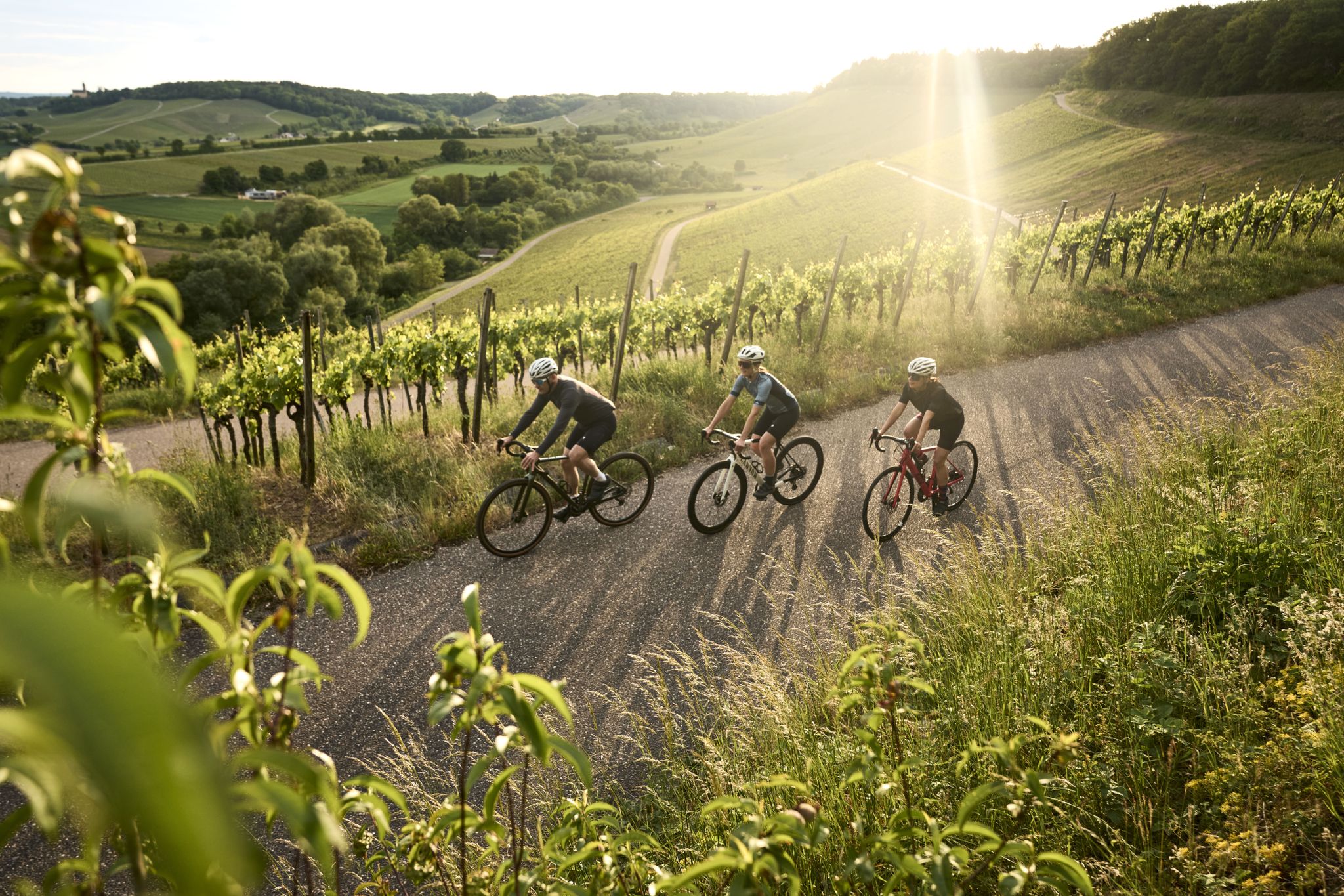
Gravel biking around Ötisheim offers diverse terrain characterized by rolling hills, meadows, and forests, situated between the Black Forest and the Swabian Alb. The region is part of the picturesque Stromberg-Heuchelberg Nature Park, featuring varied inclines and descents. The Enz River winds through the area, providing scenic routes alongside vineyards and natural reserves. This landscape offers a mix of paved surfaces and loose ground suitable for gravel cyclists.
Best gravel bike trails around Ötisheim
- The most popular gravel bike trail…
Last updated: November 9, 2026
5.0
(2)
16
riders
62.7km
05:05
710m
710m
4.3
(3)
15
riders
34.2km
02:58
570m
570m
Hard gravel ride. Very good fitness required. Mostly paved surfaces.

4.0
(1)
9
riders
27.7km
02:11
260m
260m
Moderate gravel ride. Good fitness required. Mostly paved surfaces.
4.6
(21)
79
riders
33.5km
01:53
210m
210m
Moderate gravel ride. Good fitness required. Mostly paved surfaces.
4.4
(7)
18
riders
54.2km
03:10
580m
580m
Hard gravel ride. Very good fitness required. Mostly paved surfaces.
Get access to more routes and recommendations from other explorers.
Already have an account?
Our route recommendations are based on thousands of hikes, rides, and runs completed by other people on komoot.
Start today with a free account
Your next adventure awaits.
Popular around Ötisheim
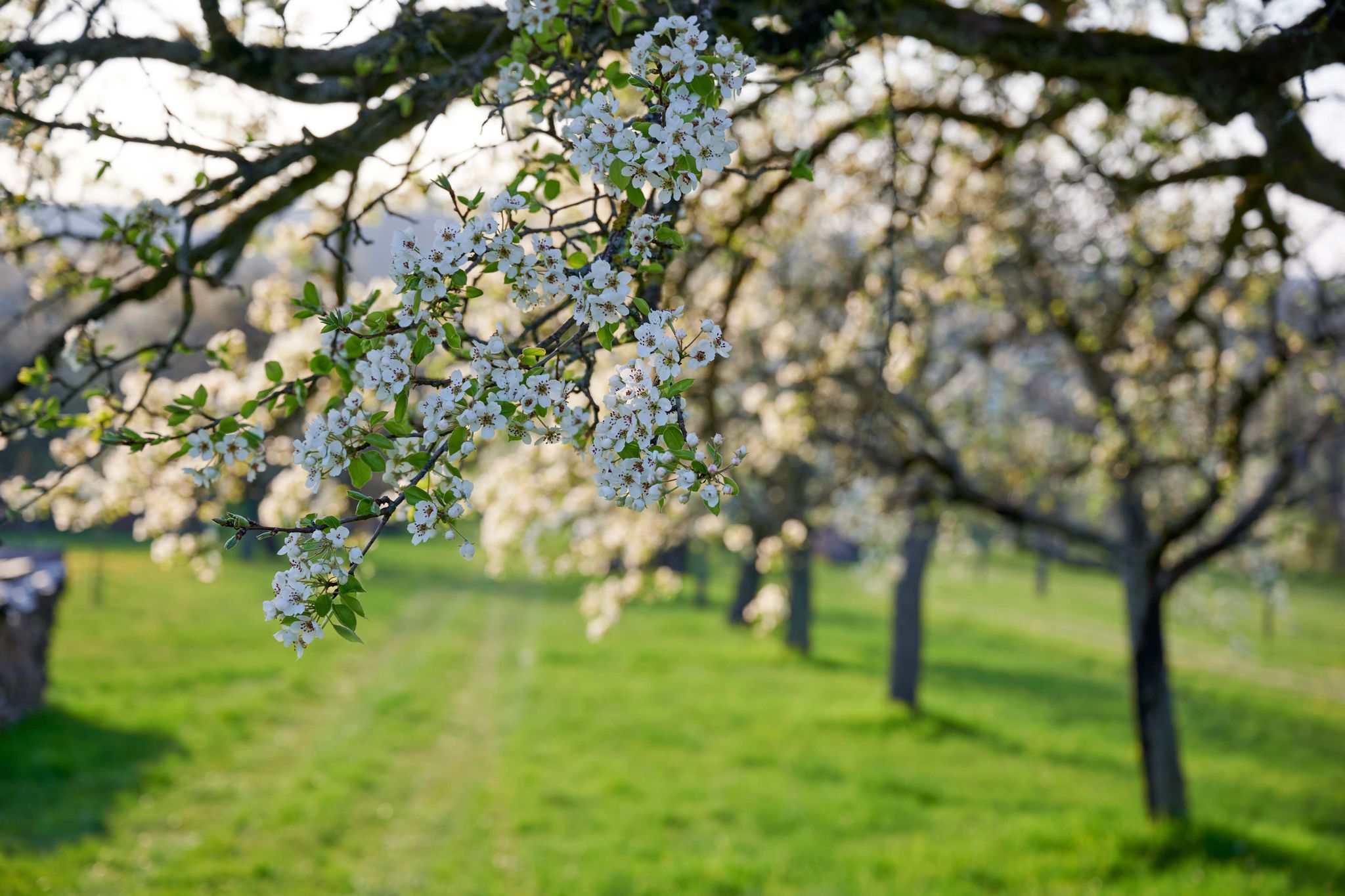
Spring in the land of 1,000 hills – Kraichgau-Stromberg in Germany
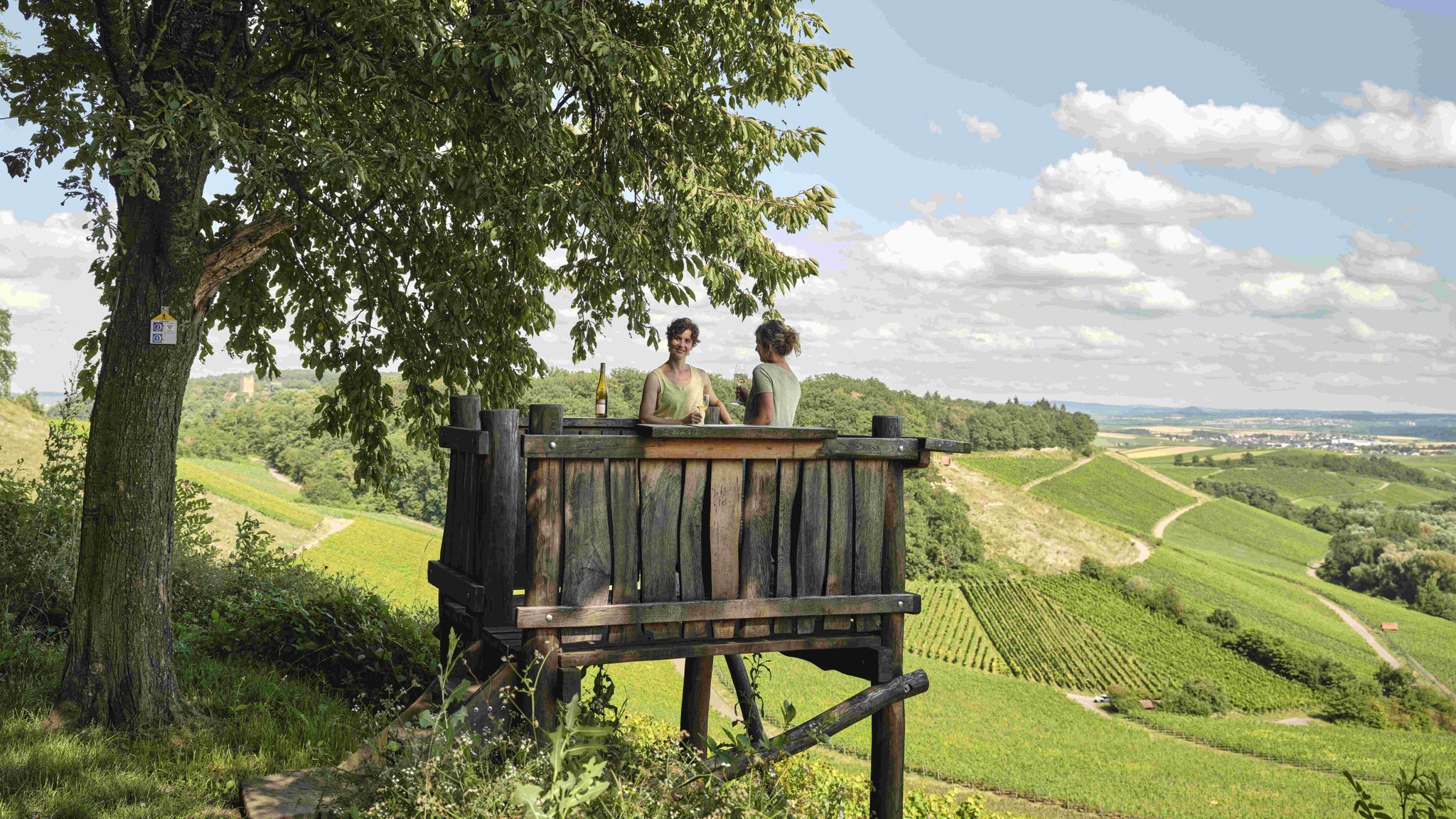
Genusswandern: Auf Wein(wander)wegen durch das Land der 1000 Hügel
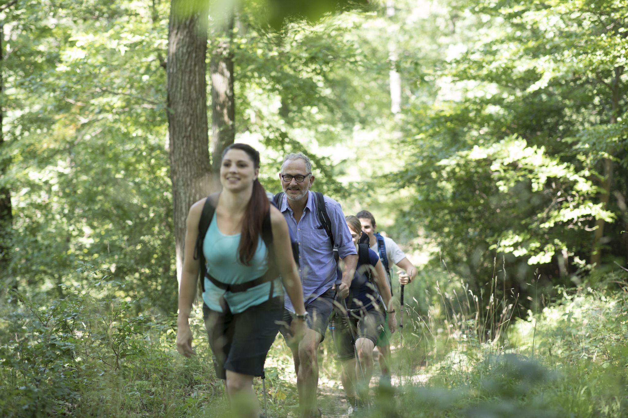
Wander3Klänge: Einfach Los Wandern im Naturpark Stromberg-Heuchelberg
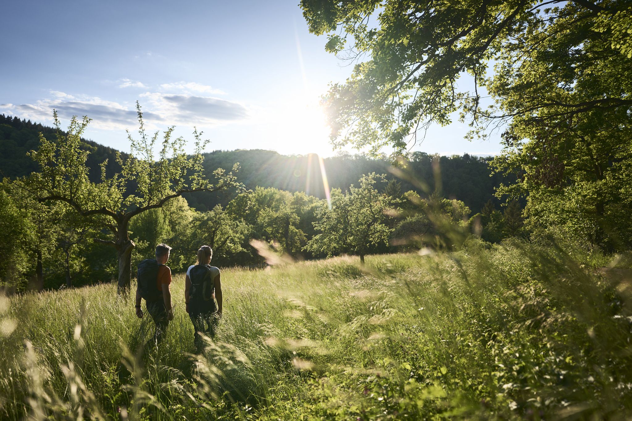
Zu Fuß durchs Land der 1000 Hügel
Tritt für Tritt durchs Land der 1000 Hügel

Cycling around Ötisheim

Hiking around Ötisheim

Road Cycling Routes around Ötisheim

MTB Trails around Ötisheim

Running Trails around Ötisheim
Other adventures around Ötisheim

Tips from the Community

Although there is no official path to this former quarry, a small trail can be found that leads directly into it. Since there are no barriers or fences here, you should not venture too close to the edge.
5
0

The Bannhalde is a 417 m high, wooded summit of the Stromberg, a ridge in the Stromberg-Heuchelberg Nature Park, which extends between Bretten in the west and the Neckar in the east. It rises above Sternenfels and houses the Stromberg operational site of the Lake Constance Water Supply Association and a mobile phone transmission mast. Only a few meters away, the K 4514 crosses its highest point. Quelle: https://www.quaeldich.de/paesse/bannhalde/
0
0
A natural hiking trail runs directly along the Enz river below the Kammertenberg nature reserve.
6
0
A pedestrian and cycle bridge connects Lomersheim and Mühlhausen. The bridge also offers a good view of the Enz River and the Kammertenberg nature reserve.
6
0

Schmie's village center, with its numerous half-timbered houses: Schmie was first documented in 1308, when Rudolf von Roßwag donated property there to Maulbronn Monastery. The Lords of Enzberg, Wunnenstein, and the Counts of Württemberg also held lands in Schmie. During the 14th century, Maulbronn Monastery acquired local lordship over Schmie. The village became part of Württemberg in 1504, then belonging to the monastery office and later to the Maulbronn district office.
8
0
Pedestrian and bicycle bridge over the Enz with a beautiful view of the river and its inhabitants.
9
0

The cycle path winds its way through the narrow valley in endless loops on beautiful gravel.
3
0
Frequently Asked Questions
What kind of terrain can I expect on gravel bike trails around Ötisheim?
Gravel biking around Ötisheim offers a diverse landscape of rolling hills, meadows, and forests, situated between the Black Forest and the Swabian Alb. You'll encounter varied inclines and descents, with routes often following the scenic Enz River. The terrain includes a mix of paved surfaces and loose ground, characteristic of the "Land der 1000 Hügel" (land of 1000 hills) in the Kraichgau-Stromberg region.
How many gravel bike trails are available in the Ötisheim area?
There are nearly 180 gravel bike trails around Ötisheim documented on komoot. This includes a wide range of options, with 88 moderate and 83 difficult routes, ensuring there's something for various skill levels.
Are there any family-friendly gravel biking options near Ötisheim?
While many routes in Ötisheim feature rolling hills and can be challenging, there are some easier options suitable for families. Look for routes with less elevation gain and shorter distances. The scenic paths along the Enz River, for instance, can offer more gentle sections. Always check the route details for difficulty and elevation before heading out with children.
What are some notable natural features or viewpoints along the gravel routes?
The region boasts several natural highlights. You can cycle along the Enz River, admiring steep vineyards, especially vibrant in autumn. The Rock Gardens Mühlhausen offer unique natural beauty, and the West shore of Aalkistensee provides a tranquil lakeside experience. Many routes offer picturesque vistas over the rolling hills and forests.
What historical or cultural attractions can I visit while gravel biking in Ötisheim?
The area is rich in history. A must-see is the Maulbronn Monastery, a UNESCO World Heritage Site and one of the best-preserved medieval Cistercian complexes. You might also encounter the beautiful Covered wooden bridge over the Enz or spot Liebenstein Castle perched above the valley.
Are there any circular gravel routes available?
Yes, many of the gravel routes around Ötisheim are designed as loops. For example, the moderate Vineyards Near Roßwag – Enz Loop at Roter Rain loop from Ötisheim takes you through vineyards and along the Enz River. Another option is the Derdinger Horn Barbecue Area – View from Derdinger Horn loop from Mühlacker, which is also a moderate loop.
What is the best time of year for gravel biking in Ötisheim?
The region is beautiful year-round, but spring and autumn are particularly appealing. In spring, you'll see blooming fruit trees, while autumn brings vibrant colors to the vineyards. Summer offers warm weather for longer rides, and even winter can be suitable for gravel biking, though you should check weather conditions and trail surfaces for ice or mud.
What do other gravel bikers enjoy most about Ötisheim's trails?
The gravel biking routes in Ötisheim are highly rated by the komoot community, with an average score of 4.7 stars from over 200 reviews. Riders often praise the varied terrain, the scenic views along the Enz River and through vineyards, and the challenging yet rewarding climbs in the 'Land der 1000 Hügel' region.
Are there any challenging gravel routes for experienced riders?
Absolutely. Ötisheim offers 83 difficult gravel routes for those seeking a challenge. A prime example is the Streitbach and Hochberg MTB Tour, a demanding 62.7 km route exploring the Hochberg area. Another difficult option is the View of Sternenfels Castle – Michaelsberg Picnic Area loop from Maulbronn Stadt/Kloster, which covers 57.4 km with significant elevation.
Where can I find parking for gravel bike trails in Ötisheim?
Parking is generally available in and around Ötisheim, especially near trailheads or local attractions. For example, the Enz Gardens in Mühlacker is a known parking spot that can serve as a starting point for rides along the Enz River. It's advisable to check specific route descriptions for recommended parking areas.
Are there any cafes or restaurants along the gravel routes for a break?
Yes, the region has several towns and villages where you can find cafes and restaurants. For instance, Liebenstein Castle, perched above the valley, now houses a restaurant. Maulbronn, with its famous monastery, also offers dining options. Planning your route to pass through these locations can provide convenient spots for a break and refreshments.
Most popular routes around Ötisheim
Most popular attractions around Ötisheim

Get inspired with the komoot mobile app


Explore more
Browse the best Gravel rides in other regions.
