The best gravel rides around Altenberge
4.5
(197)
737
riders
28
rides
Gravel biking around Altenberge is characterized by a landscape of gentle undulations, extensive forest trails, and river floodplains. The region features a network of paths, including converted rail trails and cycle routes alongside waterways like the Ems. Elevation gains are generally low, making the area suitable for varied gravel biking experiences.
Best gravel bike trails around Altenberge
- The most popular gravel bike trail is Alley in Ostendorf – Postdamm Forest Trail loop from Steinfurt-Borghorst, a 15.9 miles (25.6 km)…
Last updated: July 17, 2026
4.5
(4)
22
riders
Easy gravel ride. Great for any fitness level. Mostly paved surfaces. Suitable for all skill levels.
5.0
(2)
9
riders
24.4km
01:41
210m
210m
Moderate gravel ride. Good fitness required. Mostly paved surfaces. Suitable for all skill levels.

Sign up for free
4.5
(4)
12
riders
Moderate gravel ride. Good fitness required. Mostly paved surfaces. Suitable for all skill levels.
4.0
(1)
13
riders
29.6km
01:33
110m
110m
Easy gravel ride. Great for any fitness level. Mostly paved surfaces. Suitable for all skill levels.
4.1
(8)
35
riders
Easy gravel ride. Great for any fitness level. Mostly paved surfaces. Suitable for all skill levels.
Get access to more routes and recommendations from other explorers.
Sign up for free
Already have an account?
Our route recommendations are based on thousands of hikes, rides, and runs completed by other people on komoot.
Start today with a free account
Your next adventure awaits.
Login or Signup
Tips from the Community

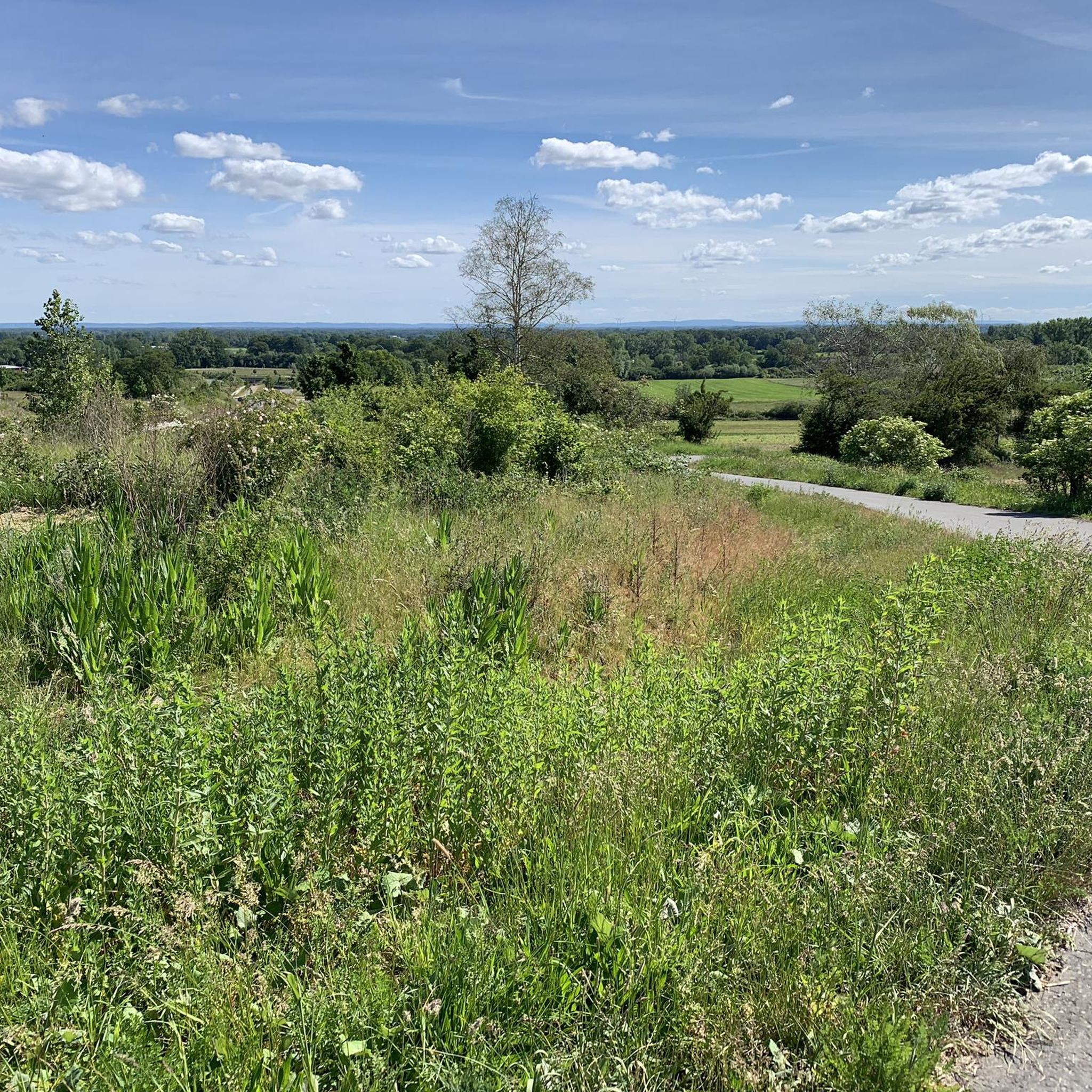
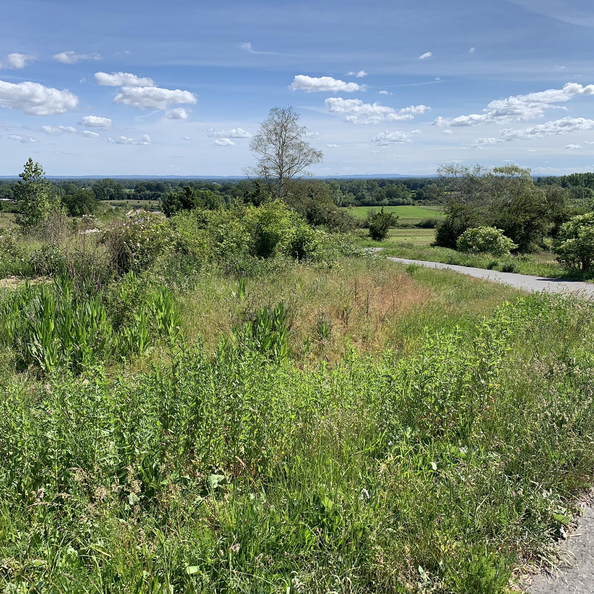
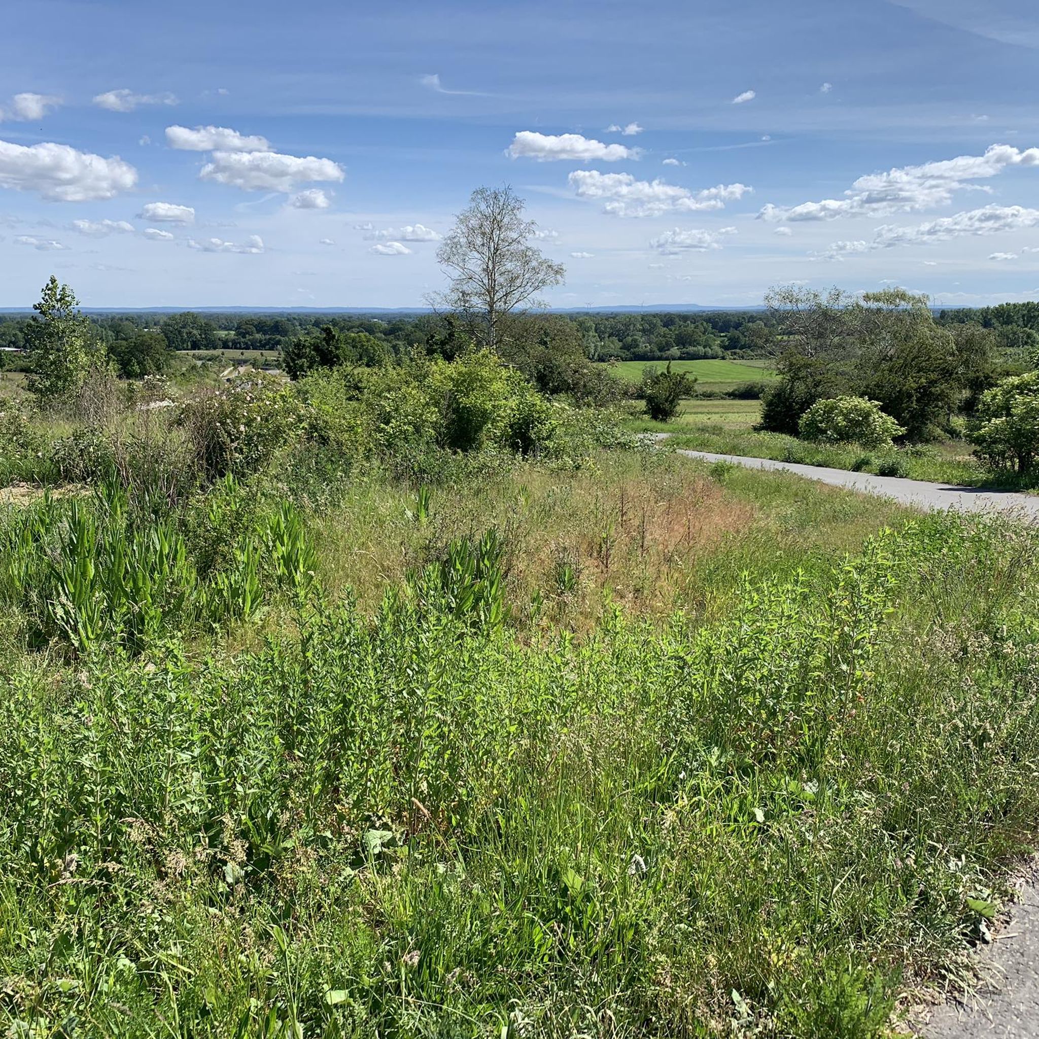
🚲🌳✨ The entrance to the Steinfurter Bagno via Grottenkamp is a wonderfully natural, wonderfully unagitated starting point and the perfect transition if you take the Pättkes from Borghorst! Away from the well-known main gates, this access offers a wonderfully direct and quiet path.
1
0

There are great cycling and hiking trails and a beautiful forest area here
0
0
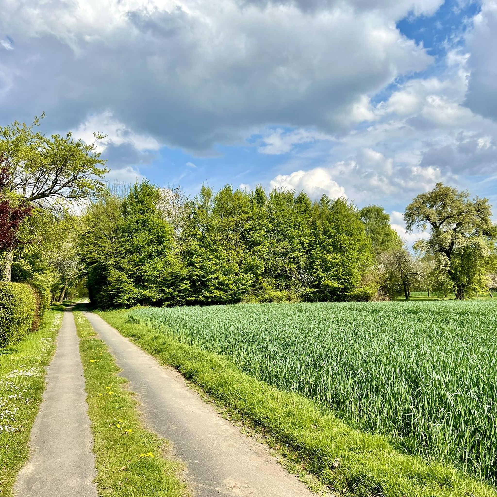
Beautiful shady alley
1
0

A beautifully landscaped garden where you can spend some nice time.
0
0
🌿 The Venn is a fascinating mosaic of glittering water surfaces, dark bog holes and vast heathlands. It is impressive to observe how nature has reclaimed its space here. Especially in spring or late summer, when the cotton grass floats like small white dots over the moor or the heather blooms in a delicate violet, the landscape appears almost enchanted and offers you photo opportunities that are rarely found.
2
0
🚲✨ The path through the Borghorster Venn takes you right into one of the most valuable nature reserves in our region. When you ride on the narrow paths through this primeval moorland, the atmosphere changes abruptly: the air feels moister, the sounds of civilization recede, and the quiet rustling of birch leaves accompanies your every meter.
2
0
The Postdamm has a long history. It already served as a military road during the Thirty Years' War. Later, mail coaches rolled here over the sandy ground of the Ahlinteler Esch. Today, it is a wonderfully quiet path for cyclists and hikers, breathing the spirit of the past. 🛤️📜
3
0
🚲✨ The Postdamm to Ahlintel is a historically significant route that leads you right through the heart of the Münsterland park landscape. It is far more than just a simple connecting path; it is a journey in the footsteps of old trade and military roads that once connected Münster and Steinfurt.
3
0
Frequently Asked Questions
What kind of terrain can I expect on gravel bike trails around Altenberge?
Gravel biking around Altenberge offers a diverse landscape featuring gentle undulations, extensive forest trails, and picturesque river floodplains. You'll find a network of paths, including converted rail trails and cycle routes alongside waterways like the Ems. Elevation gains are generally low, making the area accessible for various skill levels.
Are there gravel bike routes suitable for beginners in Altenberge?
Yes, Altenberge has a good selection of routes perfect for beginners. For instance, the Alley in Ostendorf – Postdamm Forest Trail loop from Steinfurt-Borghorst is an easy 15.9-mile (25.6 km) trail that guides riders through pleasant forest paths and an alley in Ostendorf. There are 28 easy routes available in the region.
Are there any longer or more challenging gravel bike routes for experienced riders?
While the region is known for its generally low elevation gains, there are moderate options for those seeking a longer ride. The The Emsdettener Brook – Ems floodplain cycle path near Emsdetten loop from Greven is a moderate 30.4-mile (49.0 km) trail leading through the Ems floodplain and Emsdettener Brook, offering a good distance challenge. Overall, there are 45 moderate routes and one difficult route in the area.
What are the typical distances and elevation gains for gravel bike routes in Altenberge?
Routes in Altenberge vary in length, generally ranging from around 15 miles (25 km) to over 30 miles (49 km). For example, the Schlautbach Forest Trail – Gasselstiege Forest Path loop from Hohenholte is 18.4 miles (29.6 km) long. Elevation gains are typically low across the region, often under 100 meters per route, making for a less strenuous ride.
Are there any circular gravel bike routes around Altenberge?
Many of the gravel bike routes in Altenberge are designed as loops, allowing you to start and end at the same point. An excellent example is the Münsterland Rail Trail – Steinfurt Cycle Street loop from Steinfurt-Borghorst, which covers 21 miles (33.8 km) and incorporates a converted rail trail.
What kind of viewpoints or natural attractions can I find along the gravel trails?
The region offers several natural highlights. You can explore areas like the Rieselfelder Münster, a significant bird sanctuary, or the scenic Aasee, Münster. Many routes also pass through extensive forests and along river floodplains, providing tranquil natural scenery.
What is the best time of year for gravel biking in Altenberge?
The Münsterland region, including Altenberge, is generally pleasant for gravel biking from spring through autumn. Spring brings blooming landscapes, while autumn offers beautiful foliage. Summers are typically mild, and the low elevation gains make it enjoyable even on warmer days. Winter riding is possible, but be prepared for potentially wet and muddy conditions on unpaved sections.
Are there places to stop for refreshments or cafes along the routes?
While specific cafes on every route aren't listed, many routes start or pass near towns and villages where you can find refreshment stops. The region is known for its hospitality, and you'll often find opportunities to refuel. Some routes also pass by facilities like the Gatekeeper's House — Post 48 on the Münsterland Rail Trail.
How accessible are the gravel trails by public transport?
Altenberge and surrounding towns in the Münsterland region are generally well-connected by regional public transport. Many routes start from or pass through towns like Greven or Steinfurt-Borghorst, which have train stations or bus connections, making it feasible to access trailheads without a car. It's advisable to check local transport schedules for specific starting points.
Where can I park my car when starting a gravel bike tour in Altenberge?
Parking is typically available in the towns and villages that serve as starting points for many routes. For example, if you're starting a tour like the Forest Cycle Path – Ems River in Greven loop from Greven, you would look for parking options within Greven. Larger trailheads or popular starting points often have designated parking areas.
What do other gravel bikers enjoy most about the routes in Altenberge?
The gravel biking routes in Altenberge are highly rated by the komoot community, with an average score of 4.6 stars from over 290 reviews. Riders often praise the varied terrain, the peaceful forest trails, and the well-maintained paths that make for an enjoyable and accessible gravel biking experience. Over 1,200 gravel bikers have used komoot to explore the region.
Most popular routes around Altenberge
Most popular attractions around Altenberge

Get inspired with the komoot mobile app


Explore more
Browse the best Gravel rides in other regions.
