The best gravel rides around Emsdetten
4.5
(97)
390
riders
62
rides
Gravel biking around Emsdetten offers diverse terrain shaped by the Ems River and its surrounding natural landscapes. The region features the Emsaue Nature Reserve, Emsdettener Venn, and numerous forest trails and meadows, providing varied surfaces for cyclists. This area is characterized by rolling hills, green meadows, and idyllic riverbanks, creating a network of routes suitable for exploring the Münsterland region's flat to gently rolling topography.
Best gravel bike trails around Emsdetten
- The most popular gravel bike trail is Bagno Lake – Old Town Burgsteinfurt loop from Emsdetten, a 27.8 miles (44.7 km) trail that takes 2 hours 28 minutes to complete, leading through varied rural landscapes.
- Another top favourite among local gravel bikers is Grafensteiner Lake – Postdamm Forest Trail loop from Emsdetten, a moderate 24.9 miles (40.2 km) path. This route navigates through forest paths and open areas, offering a mix of surfaces.
- Local gravel bikers also love the Bocketal Viewpoint – Historic Old Town of Tecklenburg loop from Riesenbeck, a 22.0 miles (35.5 km) trail leading through varied terrain with significant elevation gain, often completed in about 2 hours 18 minutes.
- Gravel biking around Emsdetten is defined by riverside paths along the Ems, routes through the Emsaue Nature Reserve, and trails crossing fens and forest sections. The network offers options for easy, moderate, and challenging rides, catering to various ability levels.
- The routes in Emsdetten are highly rated by the komoot community with an average score of 4.4 stars from over 80 reviews. More than 300 gravel bikers have used komoot to explore Emsdetten's varied terrain.
Last updated: May 22, 2026
3.7
(9)
22
riders
40.2km
02:15
140m
140m
Moderate gravel ride. Good fitness required. Mostly paved surfaces. Suitable for all skill levels.
5.0
(2)
12
riders
Moderate gravel ride. Good fitness required. Mostly paved surfaces. Suitable for all skill levels.

Sign up for free
4.5
(4)
19
riders
Easy gravel ride. Great for any fitness level. Mostly paved surfaces. Suitable for all skill levels.
5.0
(5)
17
riders
Moderate gravel ride. Good fitness required. Mostly paved surfaces. Suitable for all skill levels.
4.7
(3)
9
riders
27.7km
01:31
50m
50m
Easy gravel ride. Great for any fitness level. Mostly paved surfaces. Suitable for all skill levels.
Get access to more routes and recommendations from other explorers.
Sign up for free
Already have an account?
Our route recommendations are based on thousands of hikes, rides, and runs completed by other people on komoot.
Start today with a free account
Your next adventure awaits.
Login or Signup
Popular around Emsdetten
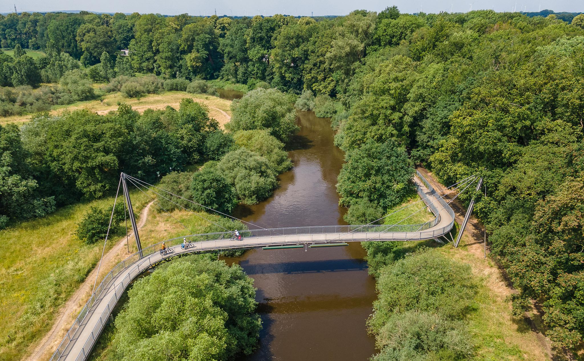
The Ems Cycle Route – in 7 stages from the Senne to the North Sea
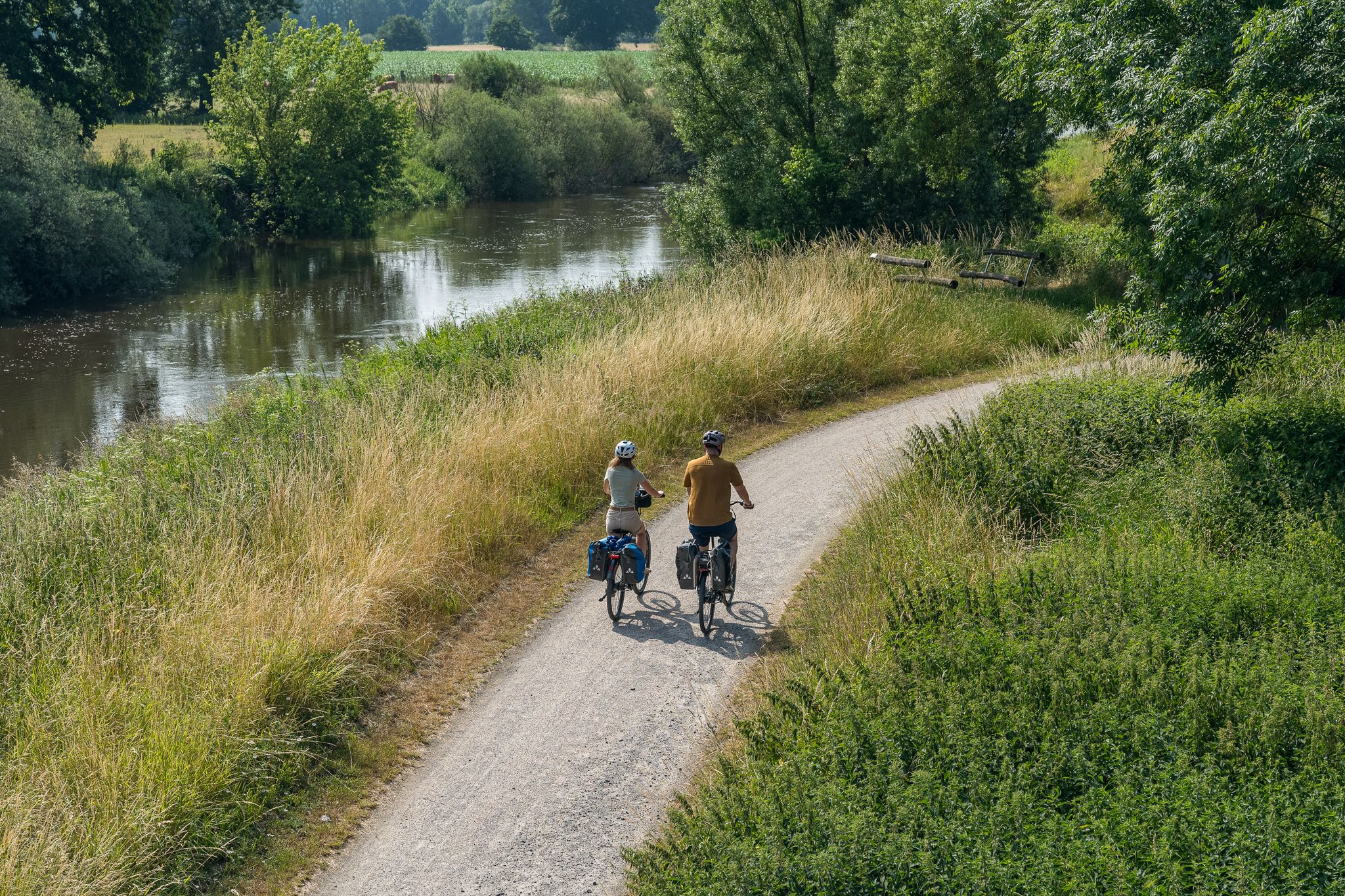
Saddle up – short bike rides around Emsdetten
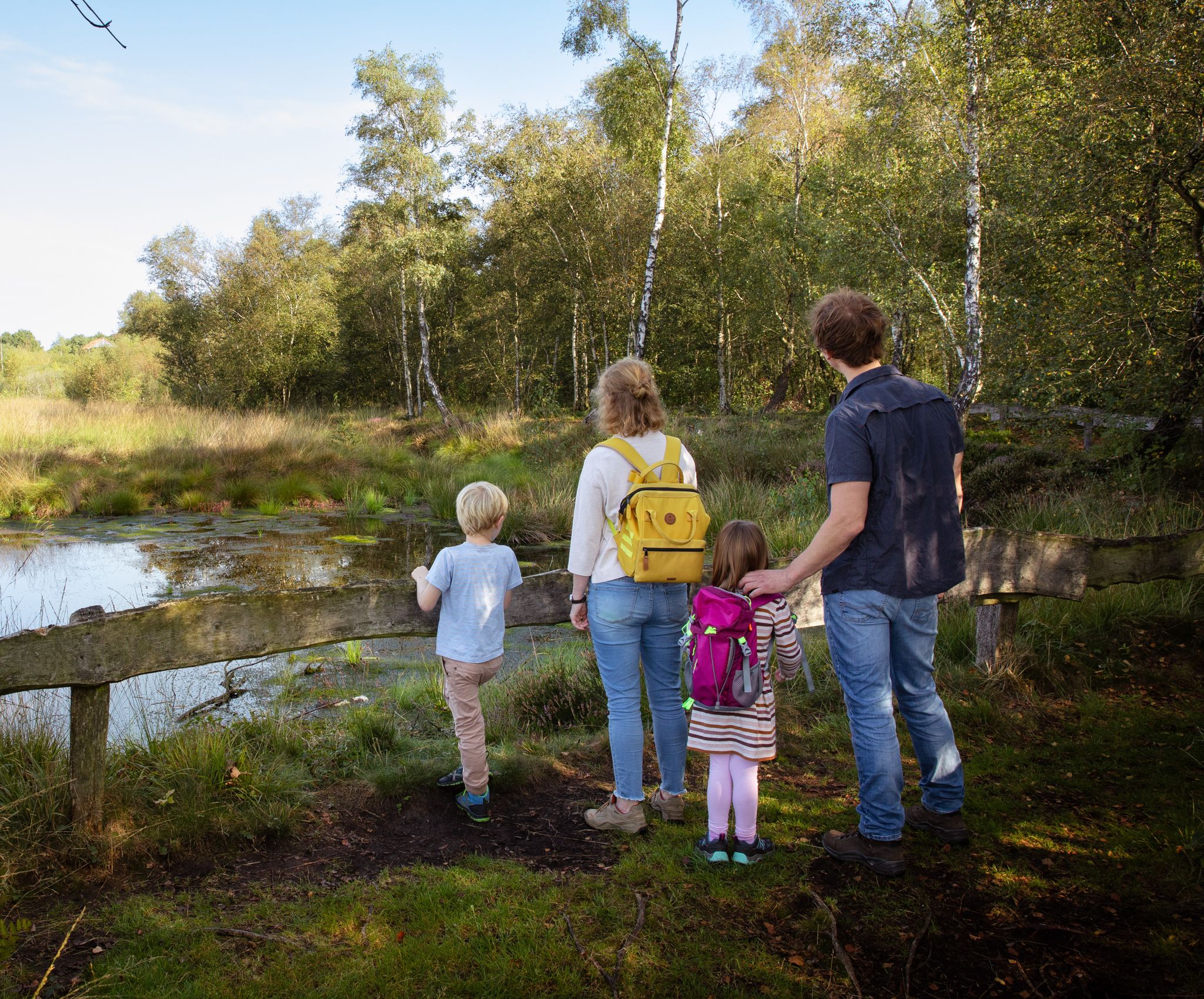
Let's go: on foot in Emsdetten
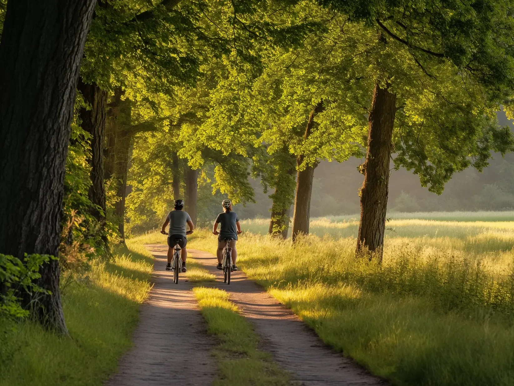
Discover northern Münsterland by e-bike from Emsdetten
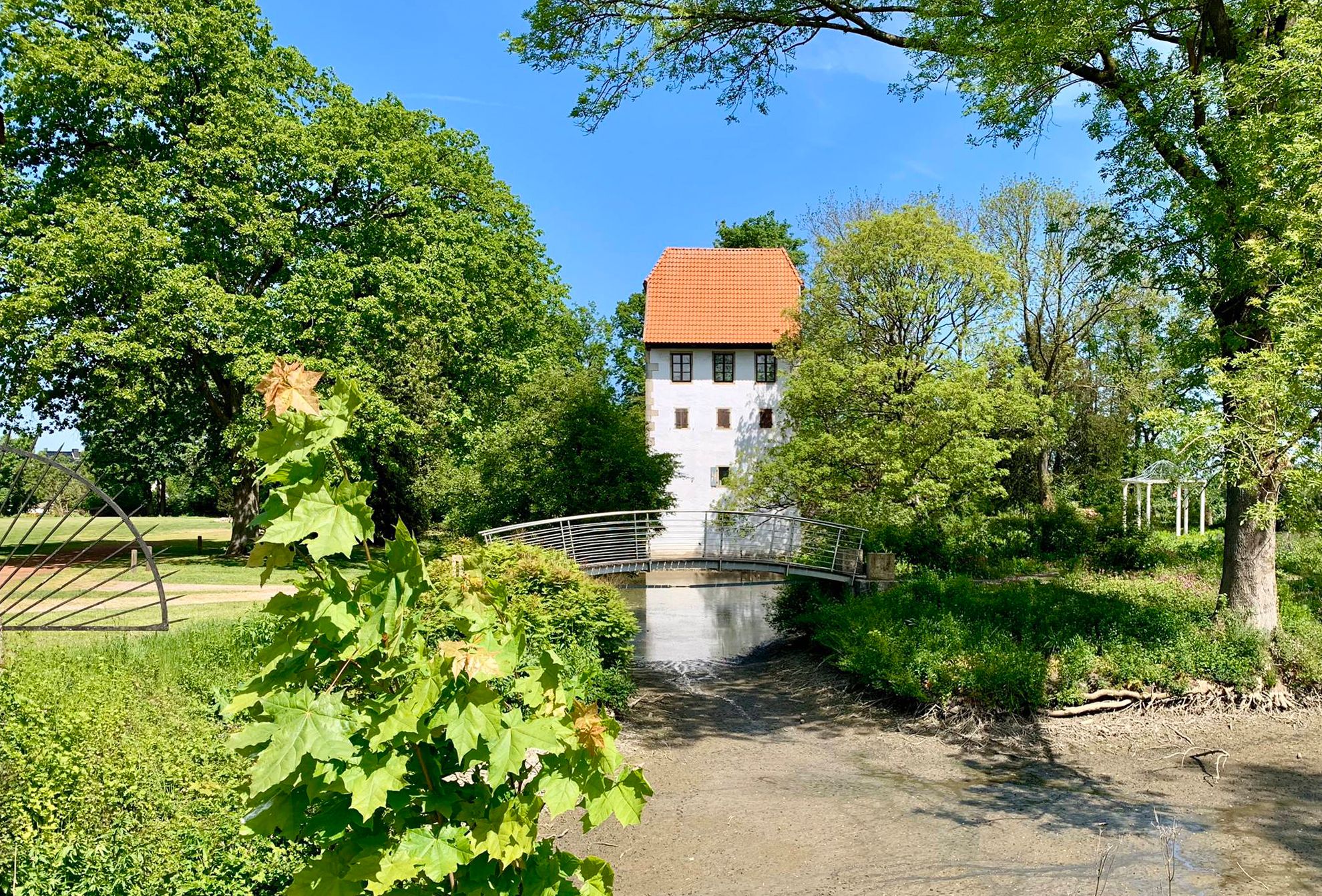
Water, meadows and mills – NaTourism routes in the Steinfurter Land in Germany
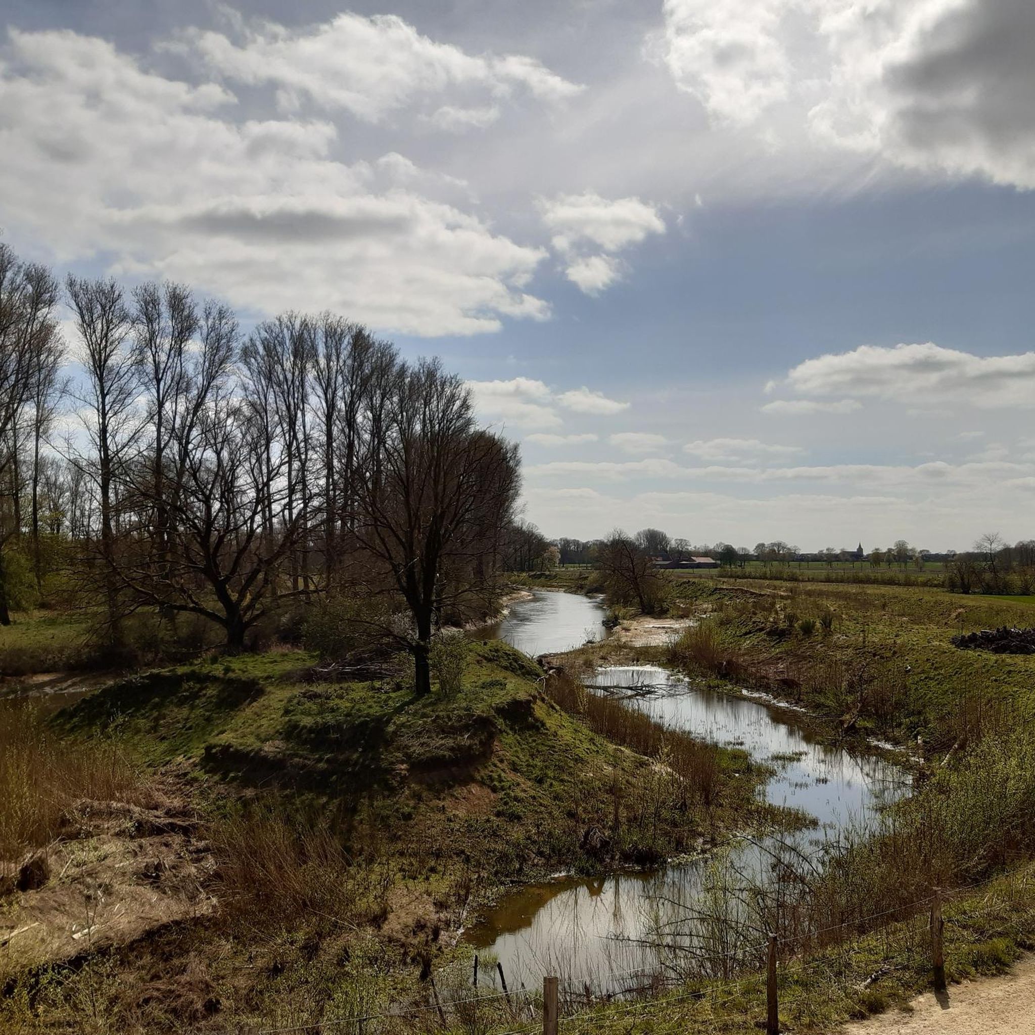
Cycling around Emsdetten
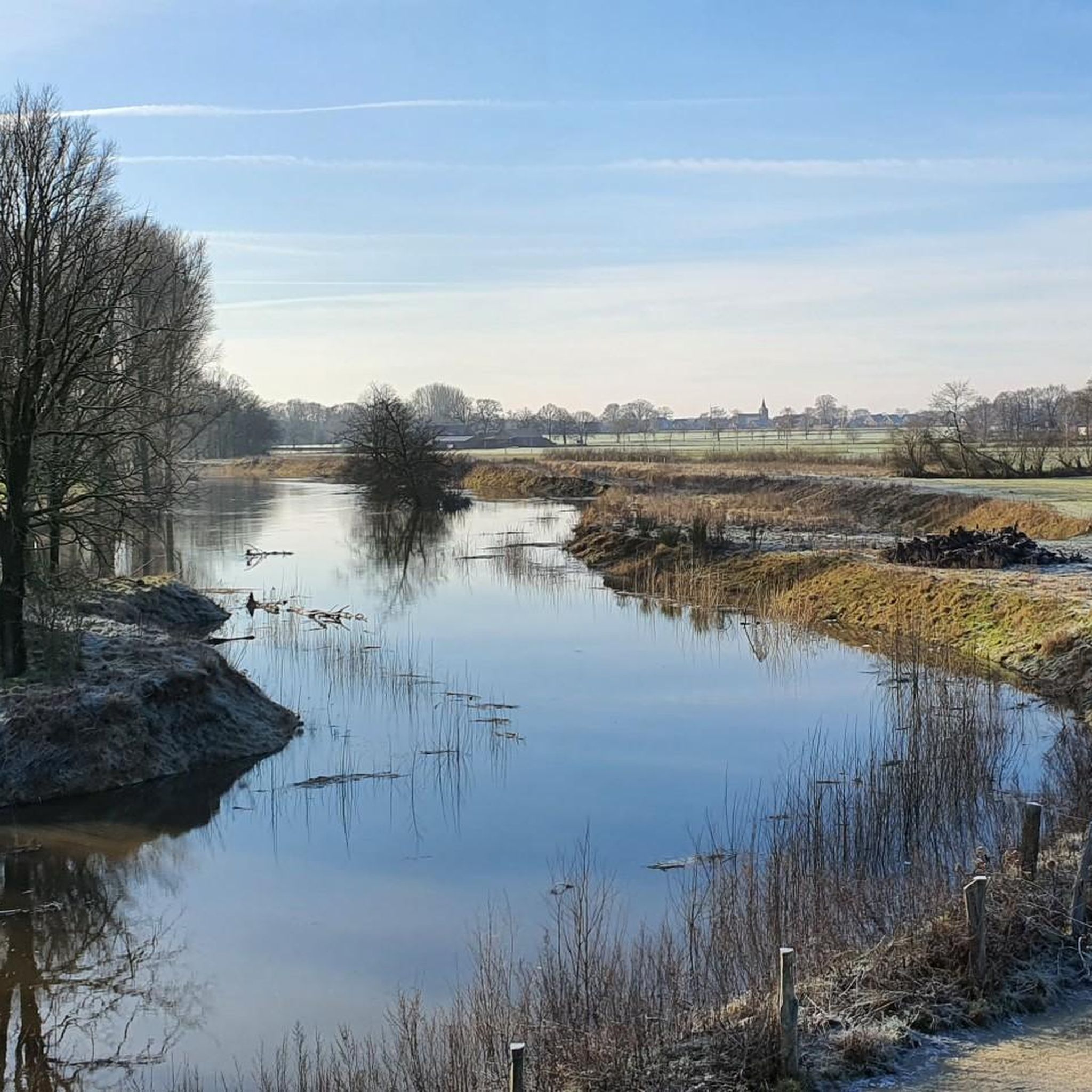
Hiking around Emsdetten
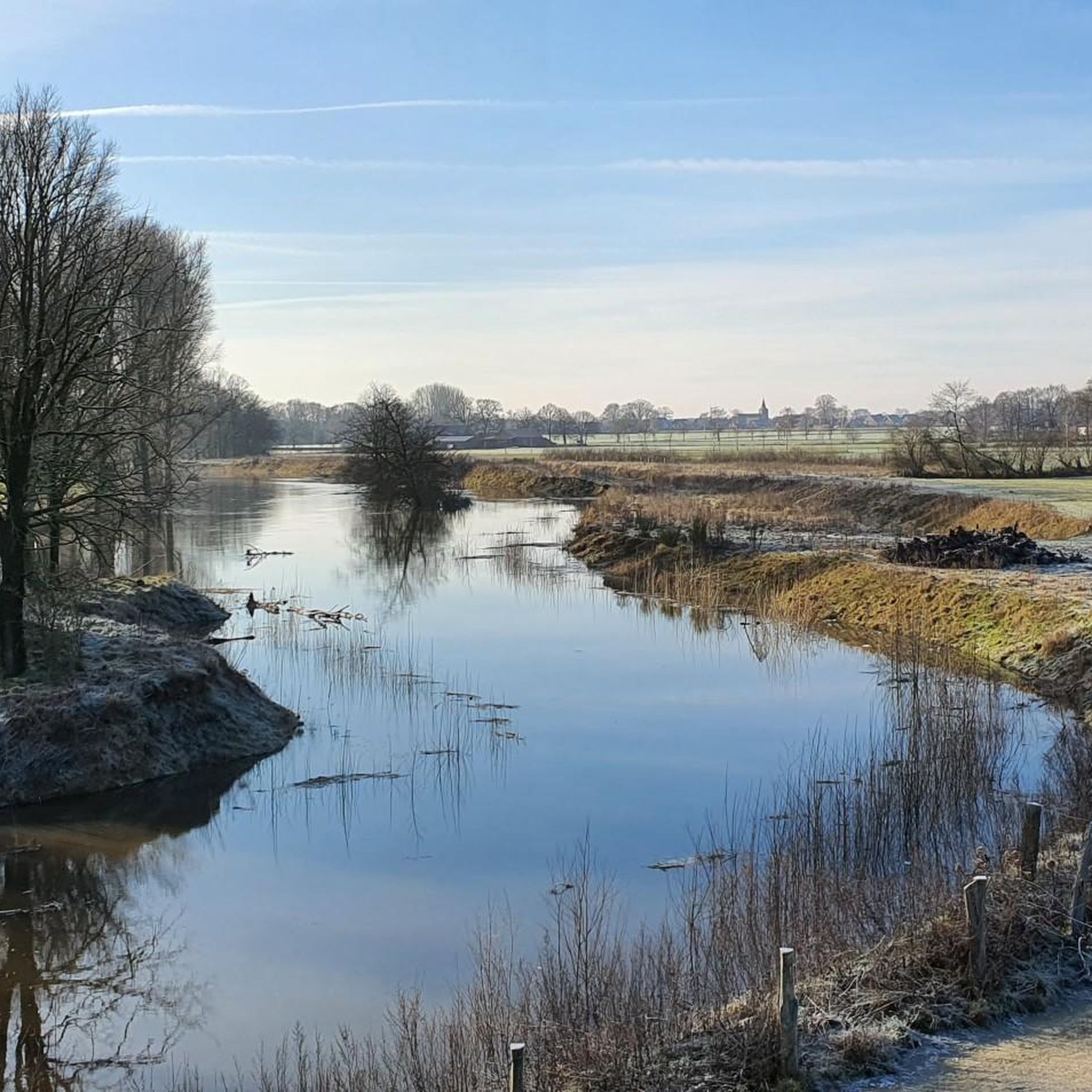
Road Cycling Routes around Emsdetten
Running Trails around Emsdetten
MTB Trails around Emsdetten
Other adventures around Emsdetten


Tips from the Community

265 kilometers lie between Dortmund and the sea - always straight ahead on the Dortmund-Ems Canal. It connects the Ruhr area with the North Sea – leads through industry and nature, through ports, cities and over 40 locks, past anglers, cyclists and excursion restaurants. Gigantic freight ships slowly make their way, only twelve kilometers per hour are allowed.
0
0

🌿 The Venn is a fascinating mosaic of glittering water surfaces, dark bog holes and vast heathlands. It is impressive to observe how nature has reclaimed its space here. Especially in spring or late summer, when the cotton grass floats like small white dots over the moor or the heather blooms in a delicate violet, the landscape appears almost enchanted and offers you photo opportunities that are rarely found.
2
0
🚲✨ The path through the Borghorster Venn takes you right into one of the most valuable nature reserves in our region. When you ride on the narrow paths through this primeval moorland, the atmosphere changes abruptly: the air feels moister, the sounds of civilization recede, and the quiet rustling of birch leaves accompanies your every meter.
2
0

Unfortunately, not much can be seen anymore of an early medieval hill fort, where a redoubt was built during the Thirty Years' War. However, it is assumed that a Hünenburg/Volksburg existed here in the 8th-9th centuries. More information can be found here: - https://de.wikipedia.org/wiki/H%C3%BCnenburg_(Rheine) - https://de.wikipedia.org/wiki/Kriegerdenkmal_H%C3%BCnenburg - https://www.ebidat.de/cgi-bin/ebidat.pl?id=3327
2
0
The Postdamm has a long history. It already served as a military road during the Thirty Years' War. Later, mail coaches rolled here over the sandy ground of the Ahlinteler Esch. Today, it is a wonderfully quiet path for cyclists and hikers, breathing the spirit of the past. 🛤️📜
3
0
🚲✨ The Postdamm to Ahlintel is a historically significant route that leads you right through the heart of the Münsterland park landscape. It is far more than just a simple connecting path; it is a journey in the footsteps of old trade and military roads that once connected Münster and Steinfurt.
3
0
🚲✨ As soon as you leave the paved roads and dive into the forest paths, a deep tranquility envelops you. Away from the stress of everyday life, this is the perfect place to take a deep breath while hiking or cycling.
1
0
🚲✨ The forest path to Surenburg Castle is one of the most atmospheric passages in the northern Münsterland region. It leads you through the extensive, stately forests that encircle the moated castle like a green belt.
1
0
Frequently Asked Questions
How many gravel bike trails are available in Emsdetten?
Emsdetten offers a wide selection of gravel bike trails, with over 30 routes available. These range from easy to more challenging rides, ensuring there's something for every skill level.
What kind of terrain can I expect on gravel bike trails in Emsdetten?
The terrain around Emsdetten is diverse, shaped by the Ems River and its natural landscapes. You'll encounter riverside paths, trails through the Emsaue Nature Reserve, sections crossing fens, and numerous forest paths and meadows. While many routes incorporate 'Pättkestouren' (local cycling tours) with mostly paved surfaces, they often connect to unpaved sections ideal for gravel bikes.
Are there any easy gravel bike routes suitable for beginners or families?
Yes, Emsdetten has several easy gravel bike routes perfect for beginners or families. For example, the View of the Ems near Saerbeck – Ems floodplain cycle path near Emsdetten loop is an easy 10.1-mile (16.3 km) trail that offers gentle riding along the river.
Can I find routes with scenic viewpoints or natural landmarks?
Absolutely. Many routes offer scenic views, particularly along the Ems River and through the Emsaue Nature Reserve. You can also explore routes that pass by natural landmarks like the Bagno Lake or the Offlumer Lake. For impressive geological features, consider exploring routes that might lead towards the Dörenther Cliffs, known for their sandstone formations.
Are there any circular gravel bike routes in Emsdetten?
Yes, the majority of gravel bike routes in Emsdetten are designed as circular loops, making them convenient for starting and ending at the same point. An example is the View of the Ems Floodplains loop from Emsdetten, which is a 12.3-mile (19.8 km) easy circular route.
What are some notable natural attractions I can explore near the gravel trails?
Beyond the Ems River and Emsaue Nature Reserve, you can find several beautiful lakes and unique geological formations. Highlights include Torfmoor Lake, Saerbeck bathing lake, and the Brumley Valley Cliffs. The Emsdetten Fens also offer unique ecological landscapes to discover.
What do other gravel bikers say about the trails in Emsdetten?
The gravel trails in Emsdetten are highly regarded by the komoot community, with an average score of 4.5 stars from over 130 reviews. Riders often praise the varied rural landscapes, the mix of surfaces, and the well-maintained paths that make for an enjoyable experience.
Is Emsdetten suitable for more challenging gravel rides?
While Emsdetten's topography is generally flat to gently rolling, there are routes that offer a moderate challenge, often due to their length or a greater accumulation of elevation gain. For instance, the Grafensteiner Lake – Postdamm Forest Trail loop from Emsdetten is a moderate 24.9-mile (40.2 km) path that navigates through forest paths and open areas, requiring good fitness.
Are there options for longer gravel rides in the area?
Yes, you can find longer gravel rides in Emsdetten. The The Emsdettener Brook – Postdamm Forest Trail loop from Emsdetten, for example, covers 19.0 miles (30.5 km) through the Emsdettener Brook area and forest trails, offering a substantial ride.
How accessible are the gravel trails in Emsdetten by public transport or car?
Emsdetten is well-connected, making its trails accessible. The town has good public transport links, and many routes are designed as loops, allowing for convenient parking at various points around the starting areas. The emphasis on cycling in the region means infrastructure for cyclists is generally good.
What is the best time of year for gravel biking in Emsdetten?
The Münsterland region, including Emsdetten, is enjoyable for gravel biking throughout much of the year. Spring and autumn offer pleasant temperatures and beautiful scenery with changing foliage. Summer is also great, especially for rides along the Ems River. Even in winter, many of the 'Pättkestouren' and forest paths can be ridden, though conditions may vary.
Can I find routes that go through forest areas?
Yes, Emsdetten's gravel routes frequently incorporate forest sections. You'll find trails leading through areas like the Postdamm Forest and other wooded parts of the region, providing shaded paths and a different riding experience compared to open meadows or riverside trails.
Most popular routes around Emsdetten
Most popular attractions around Emsdetten

Get inspired with the komoot mobile app


Explore more
Browse the best Gravel rides in other regions.
