The best gravel rides around Sankt Martin im Mühlkreis
3.8
(4)
116
riders
15
rides
Gravel biking around Sankt Martin im Mühlkreis offers routes through the varied landscapes of Upper Austria. The region features rolling hills, dense woodlands, and paths along the Danube River, providing diverse terrain for cyclists. Granite formations contribute unique geological features, while the Pesenbach Valley Nature Preserve and the valley of the Große Mühl enrich the natural scenery. Riders can expect a mix of riverside paths, forest tracks, and unpaved surfaces.
Best gravel bike trails around Sankt Martin im Mühlkreis
- The most popular gravel bike trail is Feldkirchner Lakes – Pupping Franciscan Monastery loop from Eferding, a difficult 26.8 miles (43.1 km) trail that takes 2 hours 19 minutes to complete. This route explores the area around Feldkirchen and the Pupping Franciscan Monastery.
- Another top favourite among local gravel bikers is Feldkirchen Bathing Lake – Deinhamer Danube Cycle Path loop from Feldkirchen an der Donau, a moderate 20.4 miles (32.8 km) path. This route offers views of the Danube and passes by Feldkirchen Bathing Lake.
- Local gravel bikers also love the Pupping Franciscan Monastery – Aschach on the Danube loop from Steinwand, a 32.7 miles (52.6 km) trail leading through river valleys and rural landscapes, often completed in about 3 hours 36 minutes.
- Gravel biking around Sankt Martin im Mühlkreis is defined by rolling hills, Danube river paths, and dense woodlands. The network offers options for different ability levels, from moderate to challenging gravel bike trails.
- The routes in Sankt Martin im Mühlkreis are highly rated by the komoot community with an average score of 3.8 stars from over 4 reviews. More than 100 gravel bikers have used komoot to explore Sankt Martin im Mühlkreis's varied terrain.
Last updated: May 22, 2026
3.7
(3)
70
riders
43.1km
02:19
100m
100m
Hard gravel ride. Good fitness required. You may need to push your bike for some segments of this route.
5
riders
20.3km
01:26
370m
370m
Moderate gravel ride. Good fitness required. Mostly paved surfaces. Suitable for all skill levels.

Sign up for free
3
riders
Hard gravel ride. Very good fitness required. You may need to push your bike for some segments of this route.
4.0
(1)
4
riders
Hard gravel ride. Good fitness required. You may need to push your bike for some segments of this route.
4
riders
34.7km
02:36
660m
660m
Hard gravel ride. Very good fitness required. Mostly paved surfaces. Suitable for all skill levels.
Get access to more routes and recommendations from other explorers.
Sign up for free
Already have an account?
Our route recommendations are based on thousands of hikes, rides, and runs completed by other people on komoot.
Start today with a free account
Your next adventure awaits.
Login or Signup
Popular around Sankt Martin im Mühlkreis

Danube Trail – Legendary long-distance hiking along the Danube River
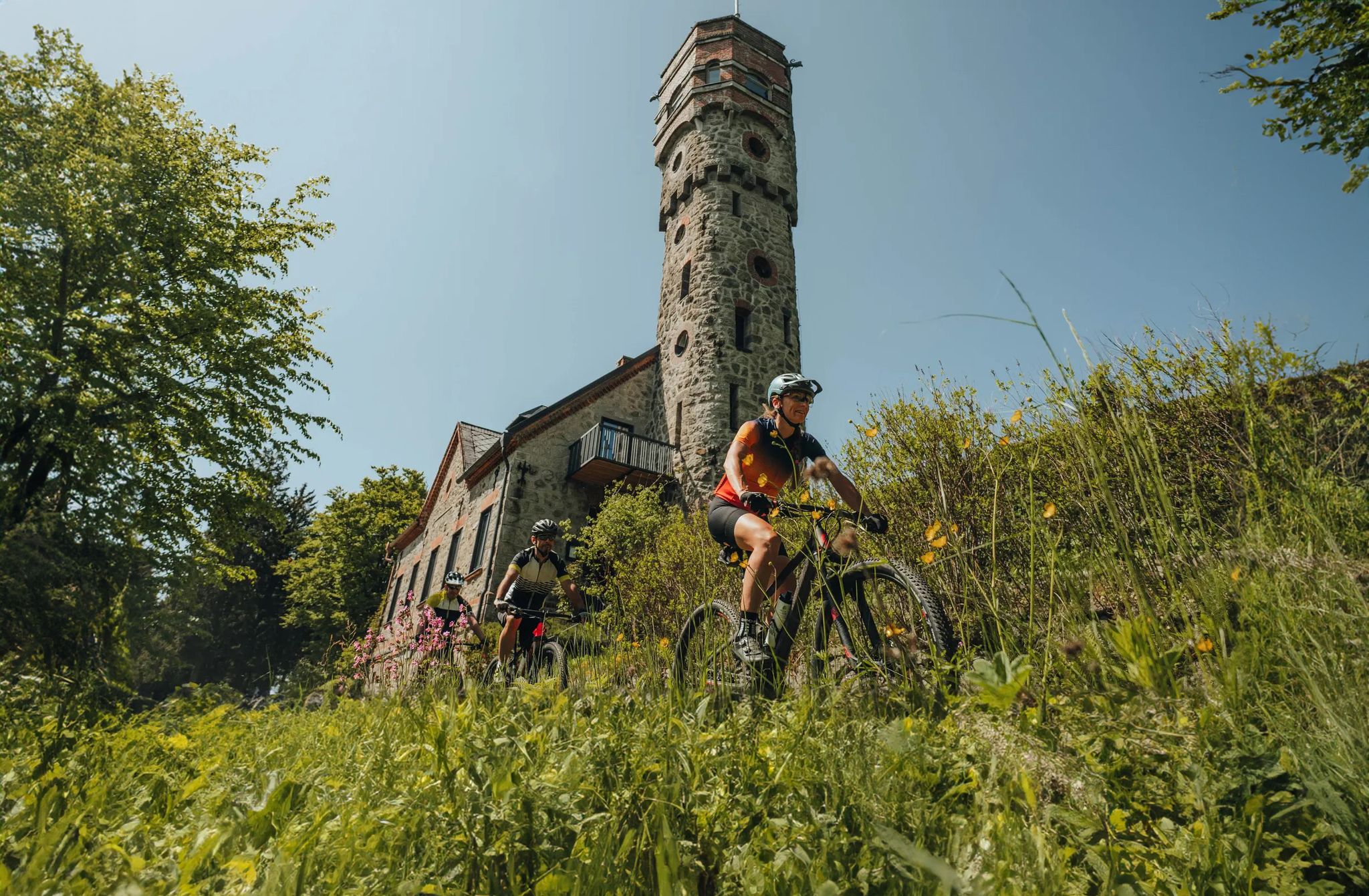
Forests, hamlets and water – bike on the Granit-Bier-Runde

E-bike Tours in the Danube region in Upper Austria

Simply amazing – 13 hikes along the Donausteig
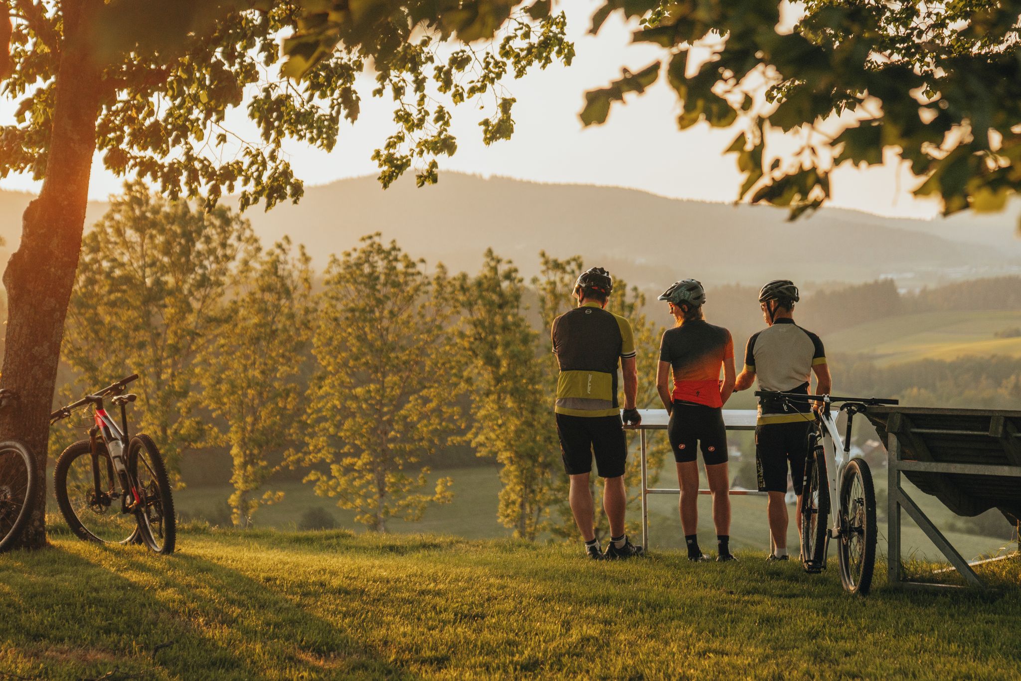
Biken auf der Grande Granit-Runde
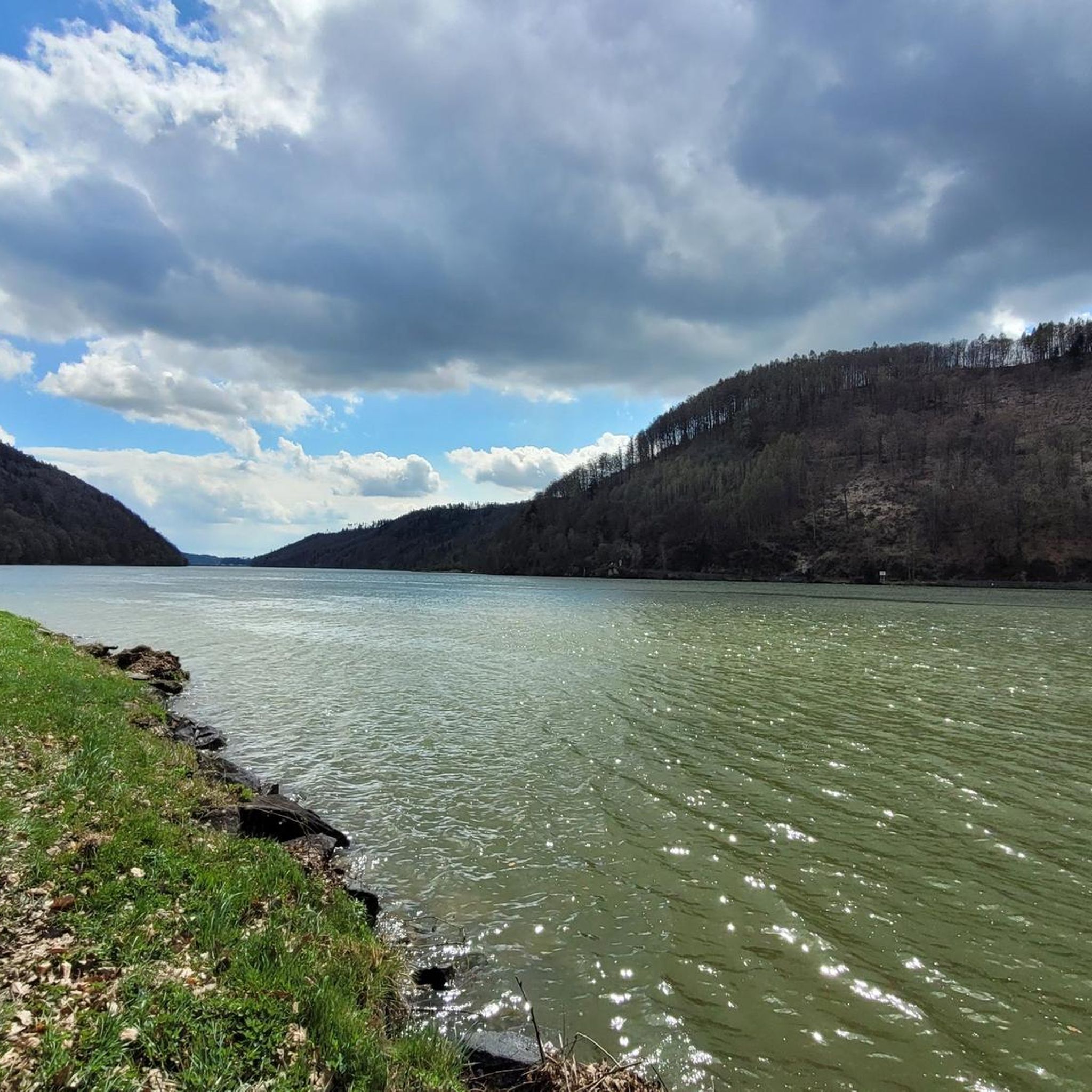
Road Cycling Routes around Sankt Martin im Mühlkreis
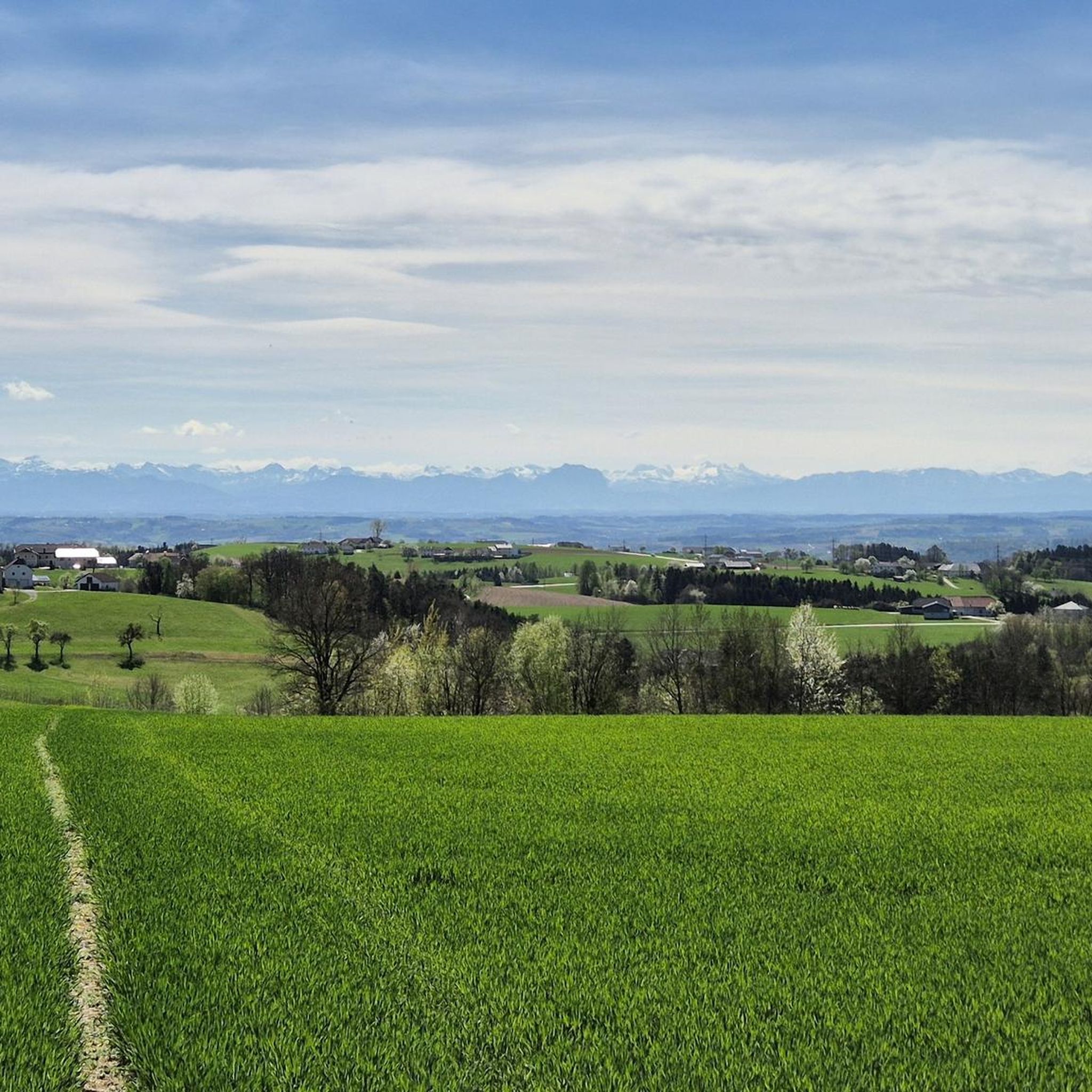
Hiking around Sankt Martin im Mühlkreis
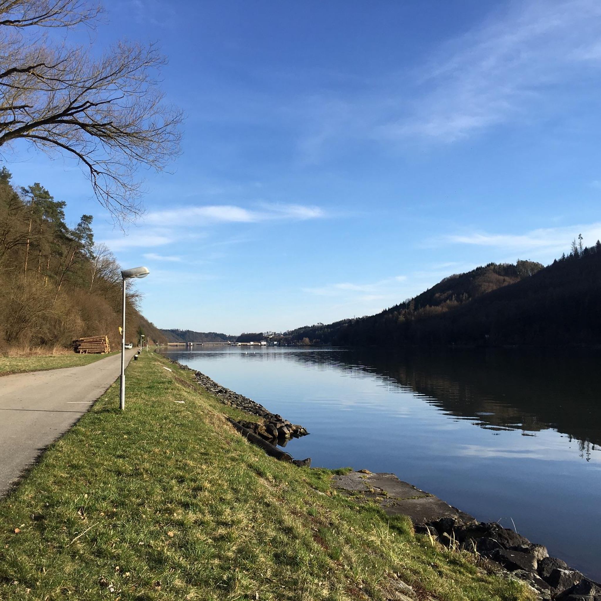
Cycling around Sankt Martin im Mühlkreis
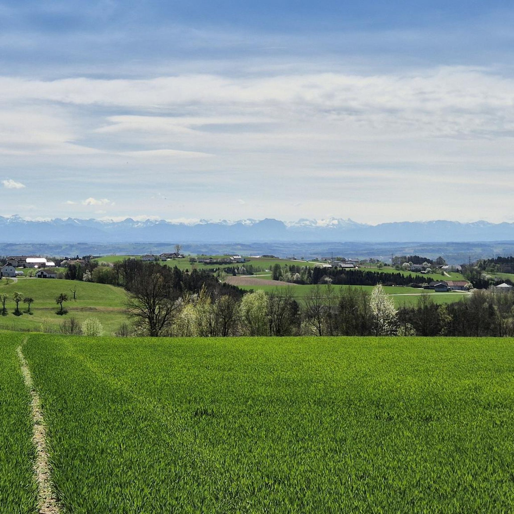
Running Trails around Sankt Martin im Mühlkreis
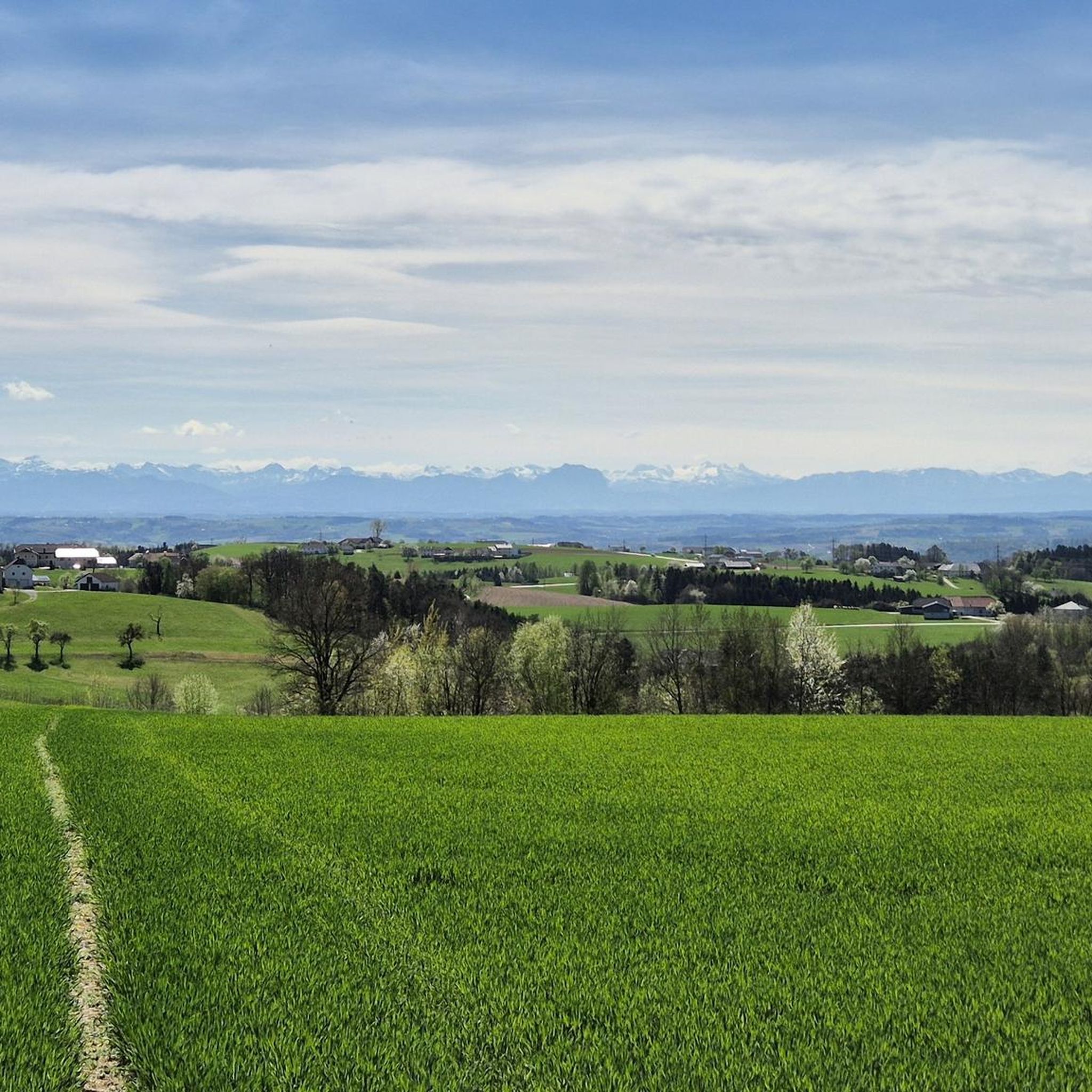
MTB Trails around Sankt Martin im Mühlkreis
Other adventures around Sankt Martin im Mühlkreis


Tips from the Community

Pupping is a municipality with 1792 inhabitants in Upper Austria in the district of Eferding in the Hausruckviertel region.
0
0

Ottensheim-Wilhering Power Plant and Lock! This impressive facility on the Danube plays an important role in energy generation and shipping. Here are some interesting aspects: ### General Information - **Location**: The power plant and lock are located in the municipality of **Wilhering** in **Upper Austria**. - **Year of Construction**: The power plant was built from **1970 to 1975** and is a run-of-river power plant. ### Technical Features 1. **Lock**: - The lock has **two lock chambers** measuring **230 × 24 m**. - It allows ships to pass through and overcomes the height difference in the river. 2. **Power Plant**: - The power plant has an **capacity** of approximately **30 MW** and uses the current of the Danube to generate electricity. - It is part of a project with **72 million euros** being invested to ensure the lifespan and efficiency of the power plant for another **50 years**. 3. **Water level**: - The river dam length is **16 km**, and the dam target is at an altitude of approximately **250 m**. ### Significance - **Energy generation**: The power plant contributes significantly to the region's electricity supply and is an important component of renewable energy sources in Austria. - **Shipping**: The lock is a central point for inland navigation on the Danube, enabling the transport of goods and passengers. ### Summary The **Ottensheim-Wilhering power plant and lock** are not only technical masterpieces, but also crucial elements for the energy supply and shipping in the region. A visit to this facility offers exciting insights into the world of hydropower and engineering! ✨
2
0

Beautiful sculpture
3
0

Surrounded by forests and meadows, fishing becomes a real nature experience where swimming is also permitted
6
0
In the Neufelden reservoir, surrounded by forests and meadows, fishing becomes a real nature experience where swimming is also permitted
3
0

CAUTION! Currently (June 2025) there is very deep gravel under the bridge near the castle on the descent from the castle to the Danube. Danger of falling!
0
0

The Mayrhofberg is adorned with a tower and a summit cross with some benches.
2
0
Frequently Asked Questions
How many gravel bike trails are available in Sankt Martin im Mühlkreis?
There are nearly 40 gravel bike routes around Sankt Martin im Mühlkreis listed on komoot, offering a wide range of options for different skill levels.
What kind of terrain can I expect on gravel bike trails in this region?
The region features varied terrain, including rolling hills, dense woodlands, and paths along the Danube River. You'll encounter a mix of riverside paths and forest tracks.
Are there any easy gravel bike routes for beginners in Sankt Martin im Mühlkreis?
While most routes are moderate to difficult, there is at least one easy gravel bike route available. For a more relaxed ride, consider routes that stick closer to the Danube Cycle Path, which often have flatter sections.
What do other gravel bikers say about the trails in Sankt Martin im Mühlkreis?
The komoot community rates the gravel biking in Sankt Martin im Mühlkreis highly, with an average score of 4.3 stars from over 15 reviews. Riders often praise the diverse terrain and scenic views, especially along the Danube.
Are there any challenging gravel bike trails for experienced riders?
Yes, Sankt Martin im Mühlkreis offers several challenging routes. For example, the Feldkirchner Lakes – Pupping Franciscan Monastery loop from Eferding is a difficult 43.1 km trail that takes around 2 hours 19 minutes to complete, featuring varied landscapes.
Can I find gravel bike routes that are loop trails?
Many of the gravel bike routes in Sankt Martin im Mühlkreis are designed as loops. An example is the Feldkirchen Bathing Lake – Deinhamer Danube Cycle Path loop from Feldkirchen an der Donau, a moderate 32.8 km path offering views of the Danube.
Are there any scenic spots or landmarks along the gravel bike trails?
Yes, many routes pass by notable landmarks and natural features. You can explore highlights like the famous Schlögen Loop, the Kerzenstein natural monument, and the Steinerberg Danube Loop. Some routes also pass by monasteries and bathing lakes.
Are there any gravel bike routes that take less than 3 hours to complete?
Yes, several routes can be completed in under 3 hours. The Feldkirchner Lakes – Pupping Franciscan Monastery loop from Eferding, for instance, typically takes about 2 hours 19 minutes.
What are some longer gravel bike routes for extended rides?
For longer rides, consider routes like the Danube Cycle Path near Exlau – Danube Cycle Path South Bank loop from Gerling OÖ, which covers over 70 km and can take more than 5 hours, offering extensive views along the Danube.
Are there any routes that include ferry crossings?
Some routes in the region, particularly those along the Danube, may involve ferry crossings. For example, you might encounter the Schlögener Schlinge ferry or the Donaubus Au–Schlögen Ferry, which can add an interesting element to your ride.
What is a good route for exploring river valleys and rural landscapes?
The Pupping Franciscan Monastery – Aschach on the Danube loop from Steinwand is an excellent choice. This 52.6 km route leads through picturesque river valleys and rural landscapes, typically completed in about 3 hours 36 minutes.
Are there gravel bike trails that offer views of the Danube?
Many routes in the Sankt Martin im Mühlkreis area feature stunning views of the Danube River. Trails often run directly alongside the river, providing continuous scenic vistas. The Schlögen Loop – Danube Cycle Path South Bank loop from St. Agatha is a prime example, offering extensive river views.
Most popular routes around Sankt Martin im Mühlkreis
Most popular attractions around Sankt Martin im Mühlkreis

Get inspired with the komoot mobile app


Explore more
Browse the best Gravel rides in other regions.
