The best gravel rides around Franking
4.5
(15)
132
riders
5
rides
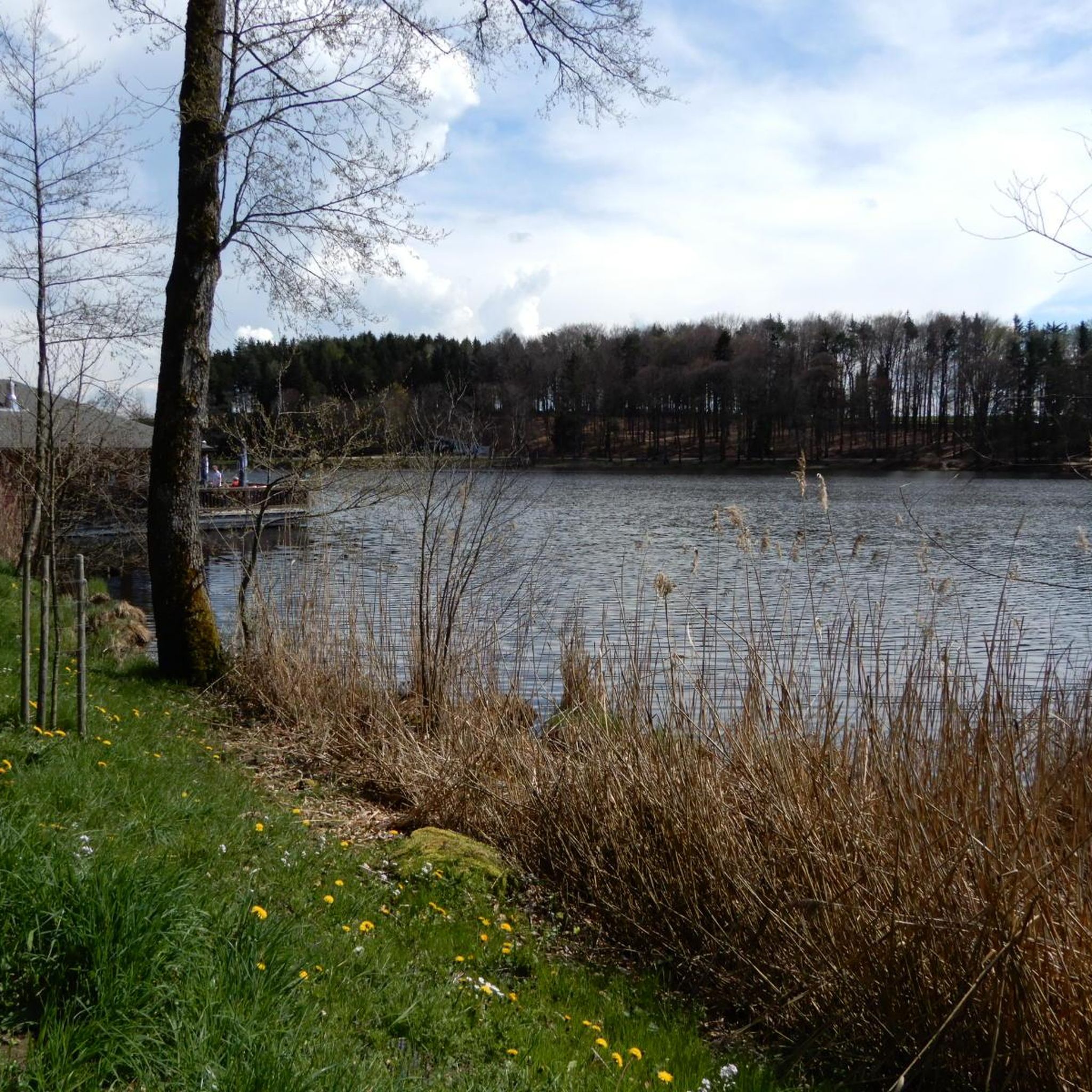
Gravel bike trails around Franking are situated in the Innviertel region of Upper Austria, near the German border. The landscape features rolling hills, river valleys, and a mix of agricultural land and wooded areas. Routes often follow the Salzach River, pass by lakes such as Holzöstersee and Waginger See, and provide views of historical landmarks like Hohensalzburg Fortress. The terrain offers varied surfaces suitable for gravel biking, combining paved sections with unpaved paths through rural settings.
Best gravel bike trails…
Last updated: July 16, 2026
4.4
(9)
95
riders
Moderate gravel ride. Good fitness required. Mostly paved surfaces. Suitable for all skill levels.
5.0
(5)
18
riders
51.7km
02:58
360m
350m
Moderate gravel ride. Good fitness required. Mostly paved surfaces. Suitable for all skill levels.

Sign up for free
4.0
(1)
9
riders
Hard gravel ride. Very good fitness required. You may need to push your bike for some segments of this route.
7
riders
Hard gravel ride. Very good fitness required. Mostly paved surfaces. Suitable for all skill levels.
3
riders
41.6km
02:33
240m
240m
Moderate gravel ride. Good fitness required. Mostly paved surfaces. Suitable for all skill levels.
Our route recommendations are based on thousands of hikes, rides, and runs completed by other people on komoot.
Start today with a free account
Your next adventure awaits.
Login or Signup

Other adventures around Franking

Tips from the Community

With over 100 km², the Weilharter Forst is one of the largest contiguous forest areas in Upper Austria and an absolute paradise for gravel bikers. 🌲🚴♂️ This awaits you: Surface: Thanks to the glacial moraine gravel soils, the forest paths here are extremely firm and usually super rideable even after rain. Perfect for high-speed segments! Pure nature: The forest is a huge water reservoir and provides pleasant cooling in summer – like a natural air conditioner. Topography: It is rather flat to gently hilly (highest point Adenberg approx. 531 m), which allows for relaxed kilometer collecting far away from car traffic. In this section, you will find the section from Weißplatz/Werberg towards Hochburg (or vice versa)
0
0

The Salzach cycle path is nice to ride.
1
0

The history of the bridge in Altach is a fascinating example of infrastructure development that creates crucial connections between communities. For centuries, this bridge was the only link between Oberndorf and Laufen, and also the only crossing over the Salzach River between Salzburg and Tittmoning. The bridge has weathered many floods, which repeatedly destroyed it. Between 1901 and 1903, a new bridge was finally built to meet the needs of the time. In 2006, the construction of the Europasteg bridge marked another step in continuing this historic bridge tradition. The modern footbridge, designed with a length of 131.20 meters, runs slightly offset from the old bridge, offering an interesting perspective on the region's history. At low water, the remains of the old wooden bridge piers are even visible, testifying to the bridge's long construction history and humanity's resilience in the face of natural forces. This new footbridge stands not only as an architectural masterpiece but also as a symbol of the connection and unity between the two banks and the communities they serve.
3
0

The town hall was built in the 18th century by combining three originally separate residential plots. The western façade was redesigned as a unified structure after the merger. The core of the Gothic atrium dates from the 14th and 15th centuries, while the façade dates back to the 18th century. The building was inhabited by the noble Mautner family before being acquired by the town in 1439. The façade features the Burghausen town coat of arms, with the Bavarian heraldic symbols of diamonds and lions above it.
13
0

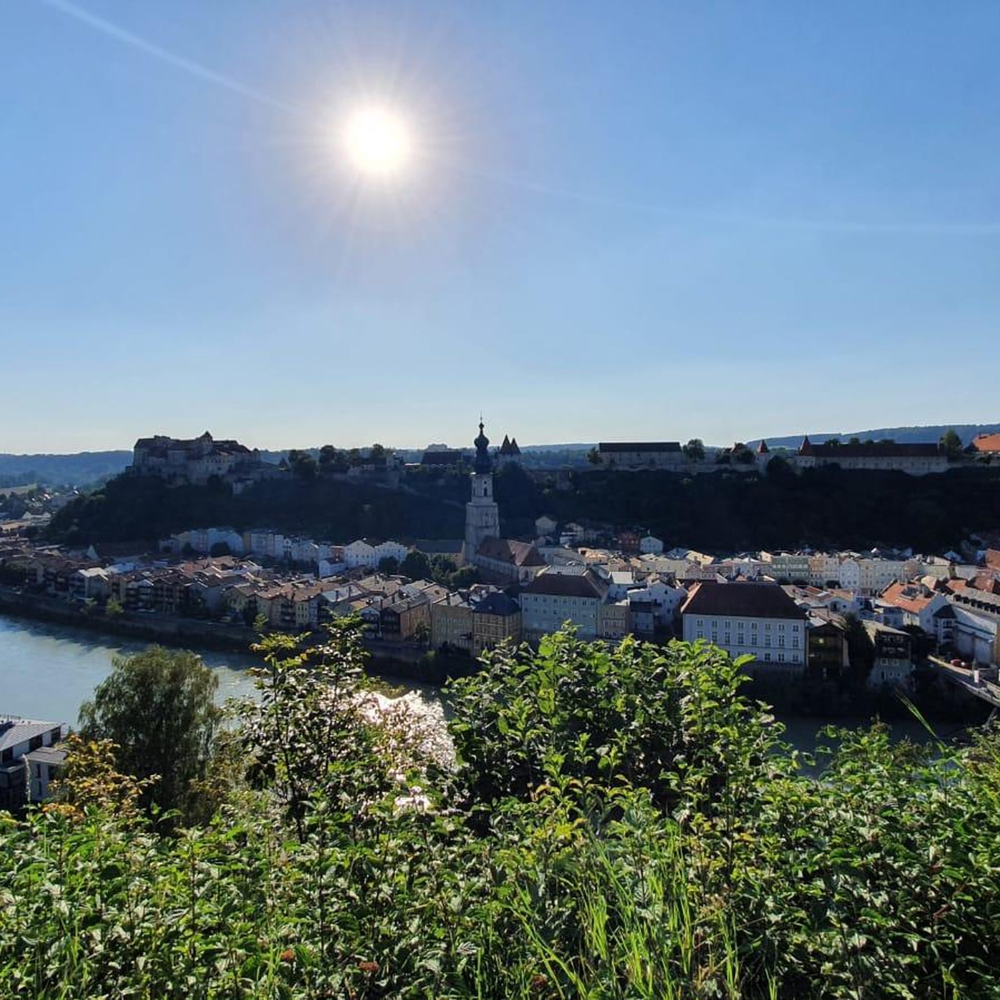
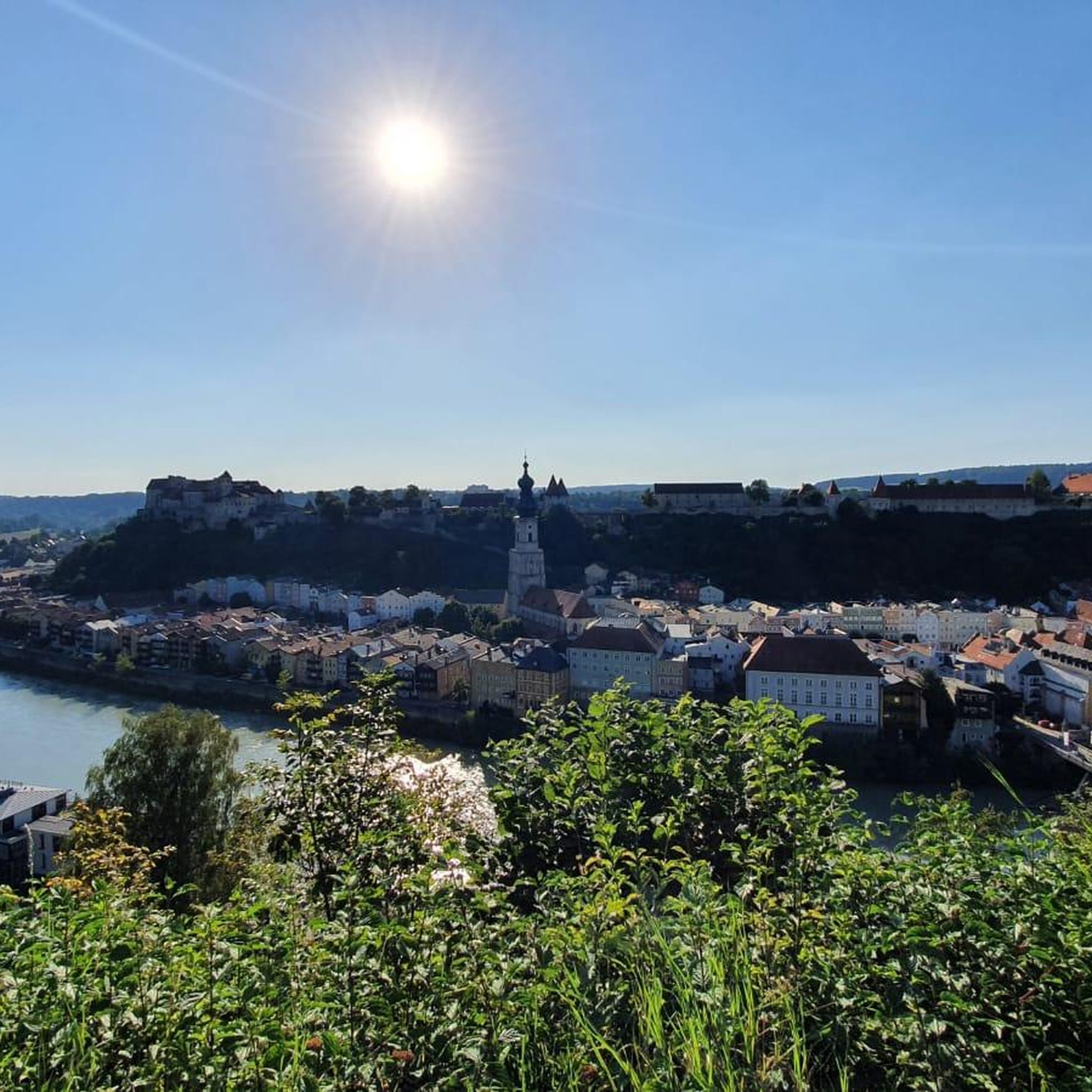
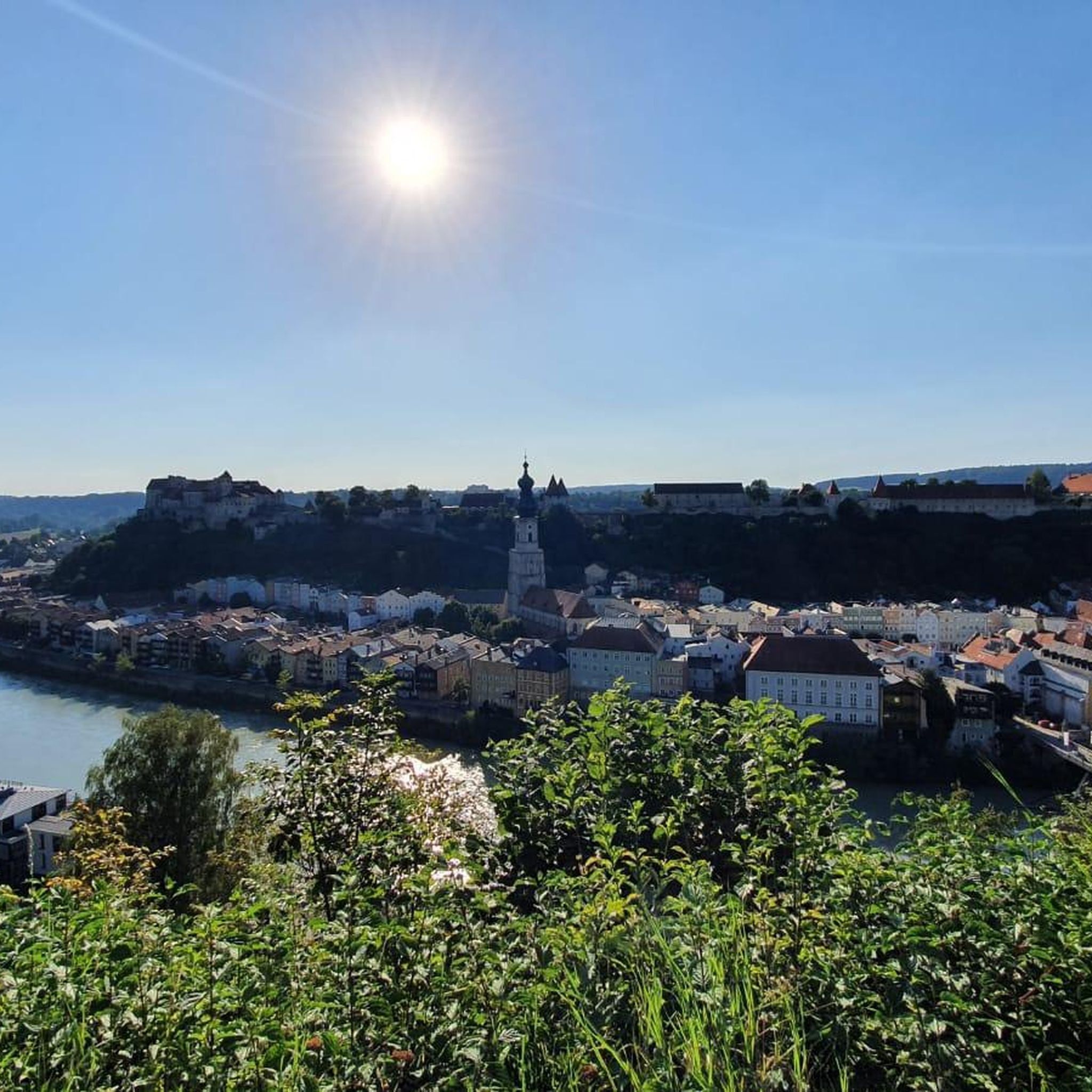
The approach from Austria (Ettenau) is a bit tricky. It ends in a very steep ramp on a busy federal highway. So leave your bikes at the bottom or take a wide detour and enter the town square via the Laufen Gate. Have fun, visit the Ponlach Graben, the castle with its interesting museum, and the cafés on the town square and in the castle. The walk is worth it.
0
0


Very interesting
4
1
Frequently Asked Questions
How many gravel bike trails are there around Franking?
There are over 14 gravel bike trails available around Franking. These routes offer a diverse experience through the Innviertel region of Upper Austria, featuring rolling hills, river valleys, and a mix of agricultural land and wooded areas.
What are the difficulty levels of gravel bike trails in Franking?
The gravel bike trails around Franking cater to various skill levels. You'll find a good mix of routes, with 2 easy, 5 moderate, and 7 difficult trails. This ensures options for both beginners and experienced riders looking for a challenge.
Are there any family-friendly gravel bike routes in Franking?
While specific 'family-friendly' designations aren't provided, the region's landscape of rolling hills and river valleys suggests that some of the easier or moderate routes, particularly those along the Salzach River or around lakes, could be suitable for families. Always check the route details for elevation and terrain before heading out.
What kind of landscapes can I expect to see while gravel biking around Franking?
Gravel biking around Franking offers a scenic journey through the Innviertel region. You'll experience diverse landscapes including river valleys, especially along the Salzach River, picturesque lakes like Holzöstersee and Waginger See, and a blend of agricultural fields and wooded areas. Many routes also provide views of historical landmarks such as Hohensalzburg Fortress.
Are there any circular gravel bike routes available in Franking?
Yes, many of the popular gravel bike routes in Franking are circular. For example, you can explore the Salzach River Trail – View of Hohensalzburg Fortress loop from St. Pantaleon Riedersbach or the View of Waginger See – Salzach River Trail loop from St. Pantaleon Riedersbach, both offering comprehensive tours of the region.
What are some notable natural attractions or landmarks along the gravel bike trails?
Along the gravel bike trails, you can discover several natural attractions and landmarks. Highlights include the Weidmoos Bird Paradise, the Ibmer Moor Nature Reserve, and the serene Höllerersee. The Salzach River itself is a prominent feature, and you might catch glimpses of the Hohensalzburg Fortress on some routes.
What is the best time of year for gravel biking in Franking?
The best time for gravel biking in Franking is generally during the warmer months, from spring through autumn. During these seasons, the weather is more favorable, and the trails are typically dry and in good condition. Winter conditions can make some paths challenging due to snow or ice.
Are there options for challenging gravel bike rides in the Franking area?
Absolutely. Franking offers 7 difficult gravel bike routes for those seeking a more challenging experience. These routes often feature greater distances and more significant elevation gains, such as the Laufen-Oberndorf Bridge – View of Hohensalzburg Fortress loop from St. Pantaleon Eiferding, which covers over 115 km with substantial climbing.
What do other gravel bikers say about their experience in Franking?
The gravel biking routes in Franking are highly rated by the komoot community, with an average score of 4.5 stars from over 20 reviews. Riders often praise the varied terrain, the scenic views of the river valleys and lakes, and the mix of paved and unpaved paths that make for an engaging ride.
How long are the typical gravel bike trails in Franking?
The gravel bike trails around Franking vary in length, offering options for different preferences. You can find routes ranging from moderate distances like the Burghausen Town Square – Holzöstersee Beach loop from Geretsberg at 51.7 km, to longer, more challenging rides such as the Laufen-Oberndorf Bridge – View of Hohensalzburg Fortress loop from St. Pantaleon Eiferding, which is over 115 km.
Are there places to stop for refreshments or food near the gravel bike trails?
Given the region's mix of agricultural land and proximity to towns like Burghausen, it's likely you'll find opportunities for refreshments. Routes often pass through or near settlements, offering cafes or pubs. Planning your route in advance and checking for amenities along the way is always recommended.
Is parking available near the gravel bike routes in Franking?
While specific parking information isn't detailed for every route, many trails start from towns or villages like St. Pantaleon Riedersbach or Geretsberg, where public parking options are typically available. It's advisable to check the starting point of your chosen route for specific parking facilities.
Most popular routes around Franking
Most popular attractions around Franking

Get inspired with the komoot mobile app


Explore more
Browse the best Gravel rides in other regions.
