The best gravel rides around Glanegg
4.7
(18)
275
riders
12
rides
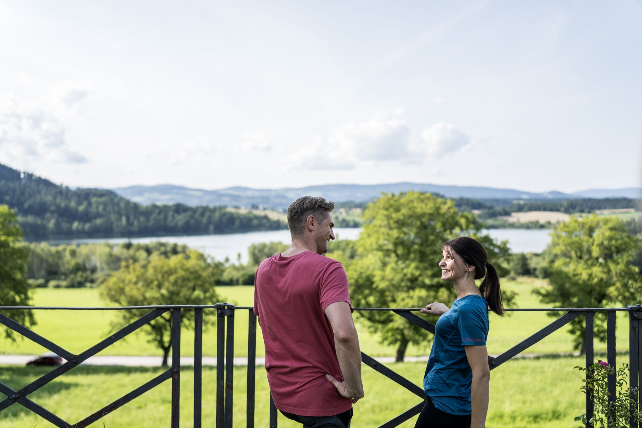
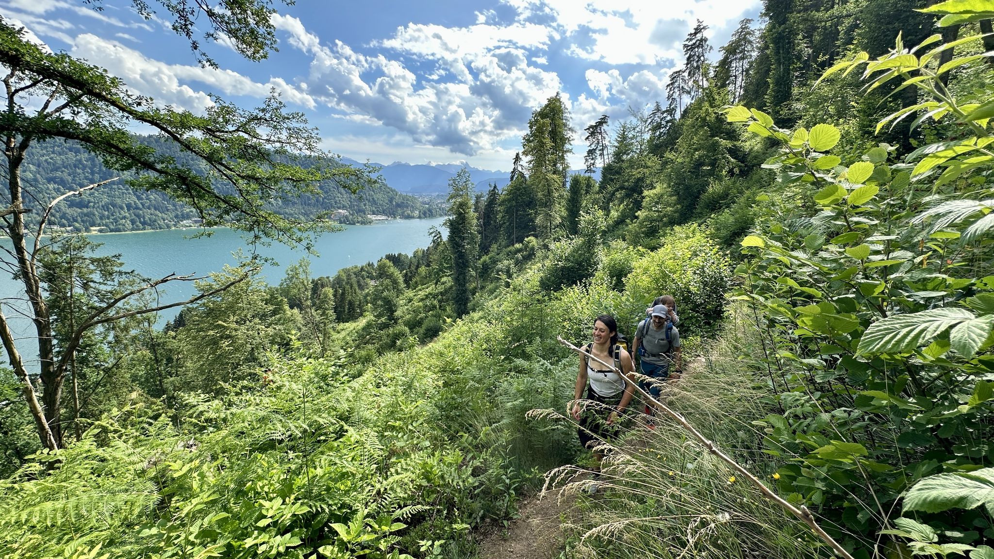
Gravel biking around Glanegg offers a diverse landscape of rolling hills, dense forests, and numerous lakes. The region's terrain combines paved roads with unpaved gravel and forest trails, providing varied surfaces for cycling. Glanegg is situated in Carinthia, Austria, characterized by its natural features including the nearby Ossiacher See and Wörthersee. The area features both gentle ascents and more challenging climbs, with elevations ranging from under 1,000 feet to over 3,000 feet.
Best gravel bike trails around Glanegg
- The most…
Last updated: July 30, 2026
5.0
(1)
28
riders
106km
08:03
1,380m
1,380m
Hard gravel ride. Very good fitness required. You may need to push your bike for some segments of this route.
1
riders
21.5km
02:00
620m
620m
Hard gravel ride. Very good fitness required. Mostly paved surfaces. Suitable for all skill levels.

Sign up for free
1
riders
34.8km
02:06
240m
990m
Moderate gravel ride. Good fitness required. Mostly paved surfaces. Suitable for all skill levels.
5.0
(1)
15
riders
Hard gravel ride. Very good fitness required. Mostly paved surfaces. Suitable for all skill levels.
4.0
(1)
11
riders
Moderate gravel ride. Good fitness required. Mostly paved surfaces. Suitable for all skill levels.
Get access to more routes and recommendations from other explorers.
Sign up for free
Already have an account?
Our route recommendations are based on thousands of hikes, rides, and runs completed by other people on komoot.
Start today with a free account
Your next adventure awaits.
Login or Signup


Tips from the Community

In St. Jakob im Kärntner Rosental, the new Paulifurtbrücke bridge over the Rosenbach was realized as a trough-shaped frame bridge. For the bridge with a span of 32 m, the crossbeams were made of prestressed UHPC elements. The use of thin-walled, yet highly robust UHPC components subsumed the necessity of geometric stiffness in the structural design. Thus, special emphasis could be placed on the aesthetic aspects.
0
0

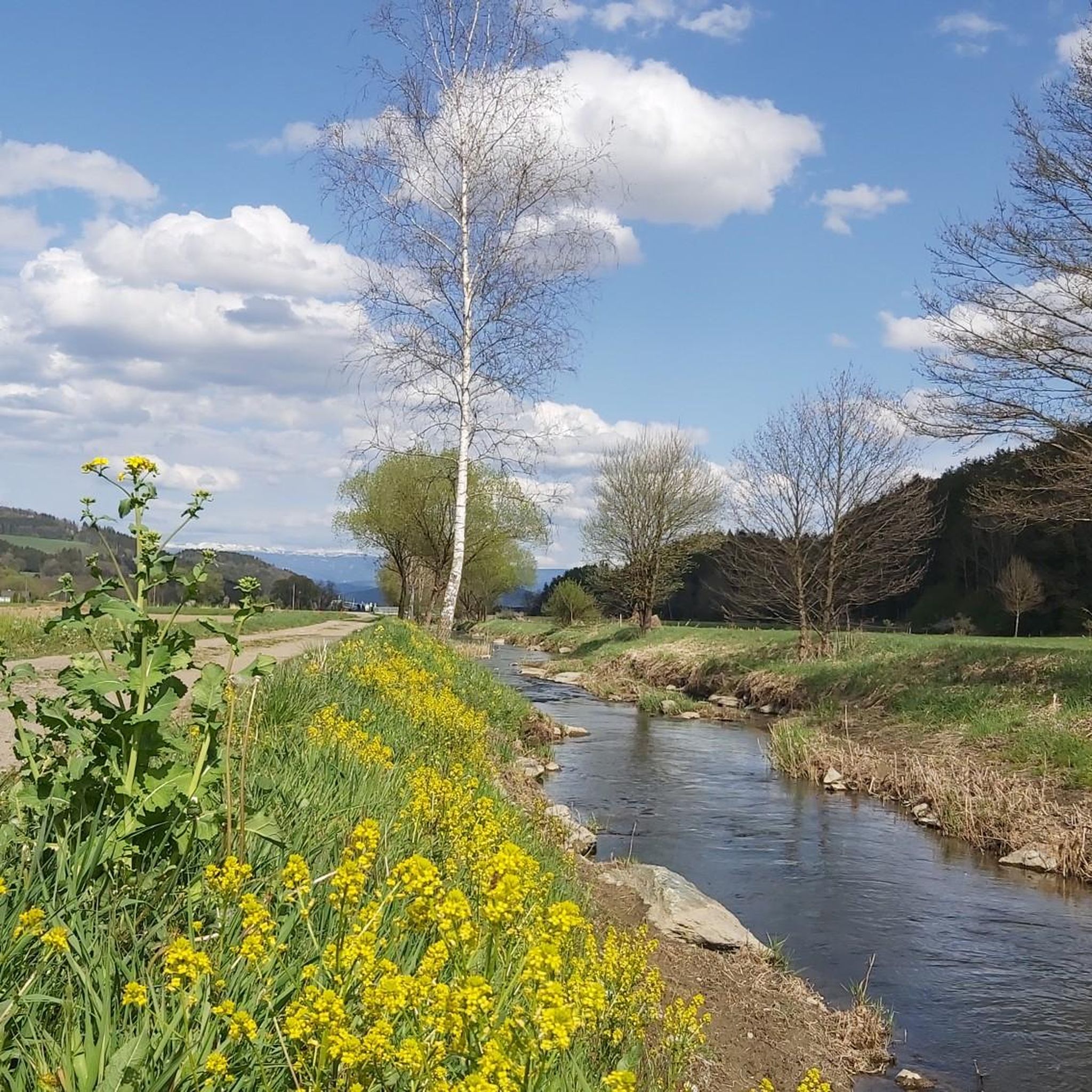
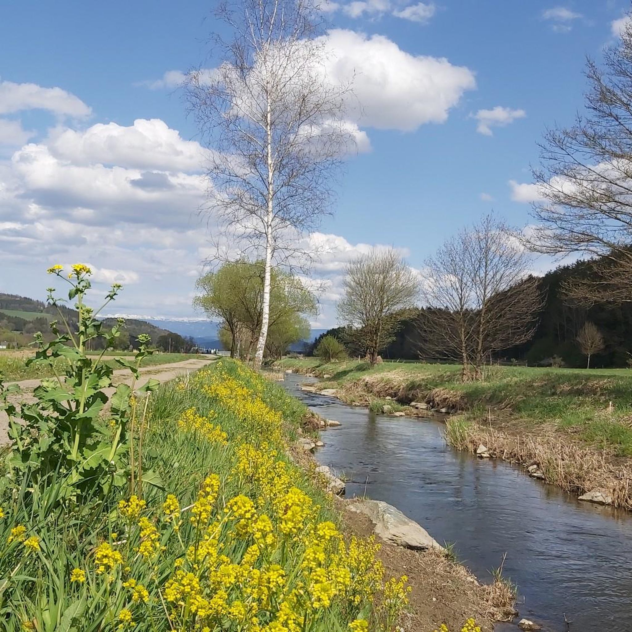
The Drauradweg in Unterkärnten flat railway embankment dirt road ideal for a gravel bike
0
0

There are only a few public accesses to the lake left. You can use these
1
0

...a beautiful starting point for a bike tour around the lake or a boat trip across the Wörthersee ⛴️
0
0
...there are some beautiful public swimming spots around the Wörthersee
3
0
…a beautiful biotope that is worth seeing in every season! 👀
1
0
...from here you have a nice view of the lake 👀
2
0
...it's worth enjoying the lake in peace! There are many beautiful viewpoints 👀
1
0
Frequently Asked Questions
How many gravel bike trails are available around Glanegg?
The Glanegg area offers a diverse selection of gravel biking routes, with over 20 trails recorded on komoot. These routes cater to various skill levels, from moderate paths to more challenging tours.
What kind of terrain and scenery can I expect on the gravel trails in Glanegg?
Glanegg's gravel trails wind through a varied landscape of rolling hills, dense forests, and picturesque valleys. You'll encounter a mix of paved roads, unpaved gravel, and forest trails. Many routes offer stunning views of the surrounding Carinthian lakes, such as Ossiacher See and Wörthersee.
Are there any family-friendly gravel biking options in Glanegg?
Yes, Glanegg offers some routes suitable for families. While most trails are moderate to difficult, there is at least one easy route available. For a generally moderate option that still offers scenic views, consider the Klagenfurt Pier – Wörthersee (Lake Wörth) loop, which is 23.1 km long and features manageable elevation changes.
What are the difficulty levels of the gravel bike trails in Glanegg?
The trails around Glanegg range from easy to difficult. There is 1 easy route, 12 moderate routes, and 9 difficult routes. Difficult routes often feature significant elevation gains and challenging climbs, while moderate paths offer a balanced experience.
What is the best time of year to go gravel biking in Glanegg?
Glanegg is an excellent destination for gravel biking throughout the warmer months. Spring and autumn offer pleasant temperatures and vibrant scenery, while summer allows for refreshing dips in the nearby lakes. Winter conditions can make some trails challenging due to snow and ice, so it's best to check local conditions.
Are there any circular gravel bike routes around Glanegg?
Yes, many of the gravel routes in Glanegg are designed as loops, allowing you to start and end at the same point. A popular example is the Simonhöhe – High St. Paul loop, which takes you through hills and forests over 34.8 km.
What historical sites or landmarks can I see along the gravel bike trails?
Glanegg is rich in history. You can explore sites like the imposing Glanegg Castle, or the Friedlach Church. While not directly on a gravel route, the Ulrichsberg Summit and Memorial Site offers historical significance and panoramic views, and the Veitsberg Summit and Chapel is another notable landmark.
Are there any waterfalls or scenic viewpoints accessible from the gravel trails?
Yes, the region boasts beautiful natural features. You can find several waterfalls, such as the Sörger Waterfall. For breathtaking vistas, consider routes that offer views of Lake Ossiach or Lake Wörthersee, like the View of Lake Wörthersee from Hoher Gallin.
How do other gravel bikers rate the trails in Glanegg?
The gravel biking routes in Glanegg are highly regarded by the komoot community, with an impressive average rating of 4.6 stars from over 40 reviews. Bikers often praise the varied terrain, scenic beauty, and the well-maintained paths that make for an enjoyable experience.
Are there any challenging routes for experienced gravel bikers?
Absolutely. For experienced riders seeking a challenge, the South to North – W-GRAVEL route is a demanding 105.7 km journey with significant elevation gain. Another difficult option is the St. Urban Gravel tour, a 21.5 km path known for its challenging climbs and descents.
Can I find places to eat or drink along the gravel routes?
While specific cafes or pubs directly on every trail are not listed, Glanegg and its surrounding villages offer various dining options. Many routes pass through or near towns where you can find places to refuel. It's always a good idea to pack some snacks and water, especially for longer rides.
Is there public transport access to the gravel biking trails in Glanegg?
Glanegg is situated in Carinthia, Austria, which has a regional public transport network. While direct access to every trailhead via public transport might vary, you can typically reach Glanegg and nearby towns by bus or train, and then cycle to your desired starting point. Checking local bus and train schedules is recommended.
Most popular attractions around Glanegg

Get inspired with the komoot mobile app


Explore more
Browse the best Gravel rides in other regions.
