The best gravel rides around Ungenach
4.1
(9)
96
riders
12
rides
Gravel biking around Ungenach features a landscape characterized by river valleys, such as the Ager River, and proximity to several lakes, including Lake Redlham and Traunsee. The terrain includes both flatter sections along waterways and more challenging ascents towards elevated points like the Hongar. The region's gravel bike trails navigate through a mix of open areas and forested sections, offering varied riding experiences.
Best gravel bike trails around Ungenach
- The most popular gravel bike trail is Lake Redlham – Ager…
Last updated: October 5, 2026
4.5
(6)
30
riders
53.4km
04:06
1,300m
1,300m
Hard gravel ride. Very good fitness required. Mostly paved surfaces. Suitable for all skill levels.
5.0
(1)
18
riders
19.0km
01:37
410m
410m
Moderate gravel ride. Good fitness required. Mostly paved surfaces. Suitable for all skill levels.

2.0
(1)
27
riders
41.3km
02:18
220m
220m
Moderate gravel ride. Good fitness required. Mostly paved surfaces. Suitable for all skill levels.
5.0
(1)
12
riders
Hard gravel ride. Very good fitness required. Mostly paved surfaces. Suitable for all skill levels.
4
riders
30.8km
02:30
770m
770m
Hard gravel ride. Very good fitness required. Mostly paved surfaces. Suitable for all skill levels.
Get access to more routes and recommendations from other explorers.
Already have an account?
Our route recommendations are based on thousands of hikes, rides, and runs completed by other people on komoot.
Start today with a free account
Your next adventure awaits.
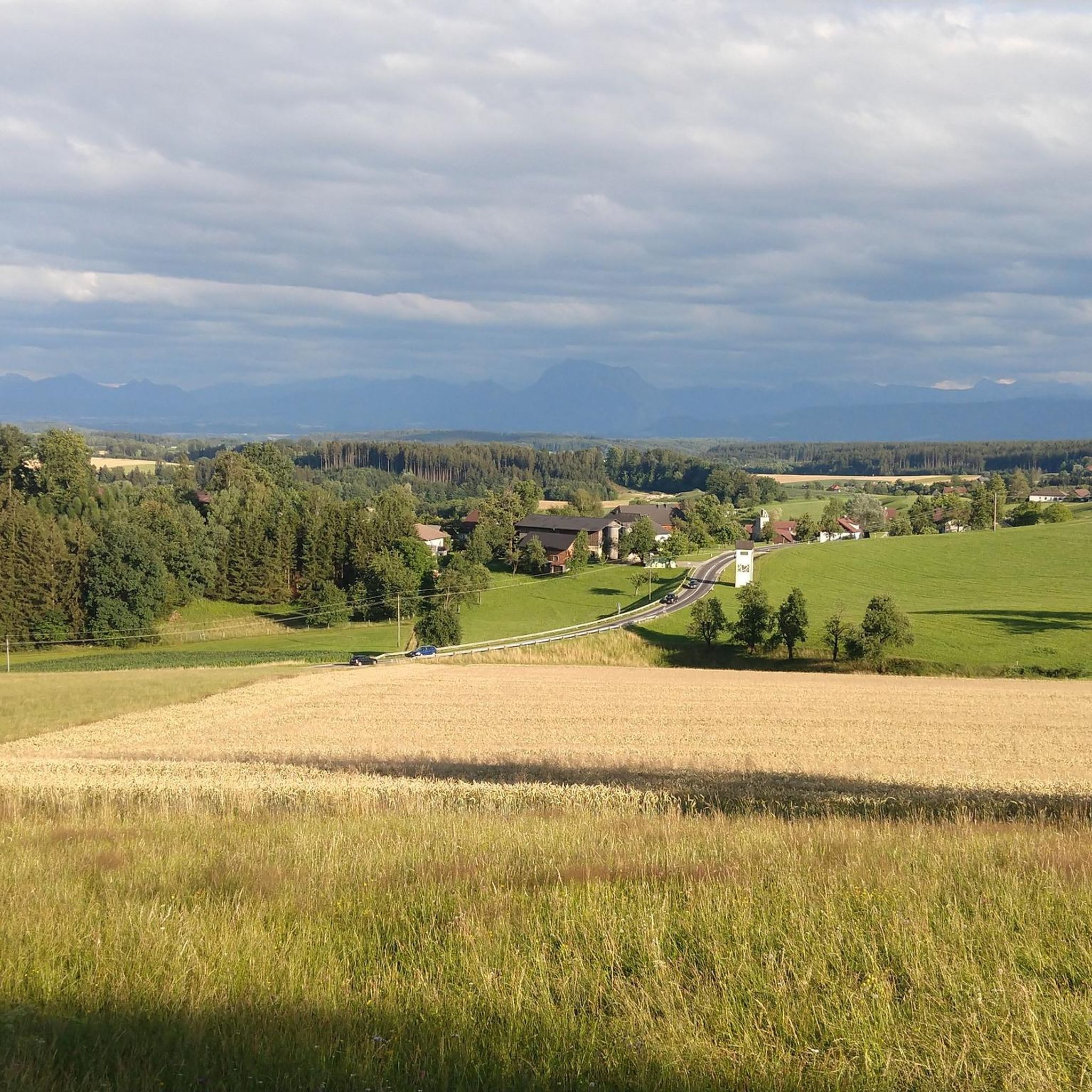
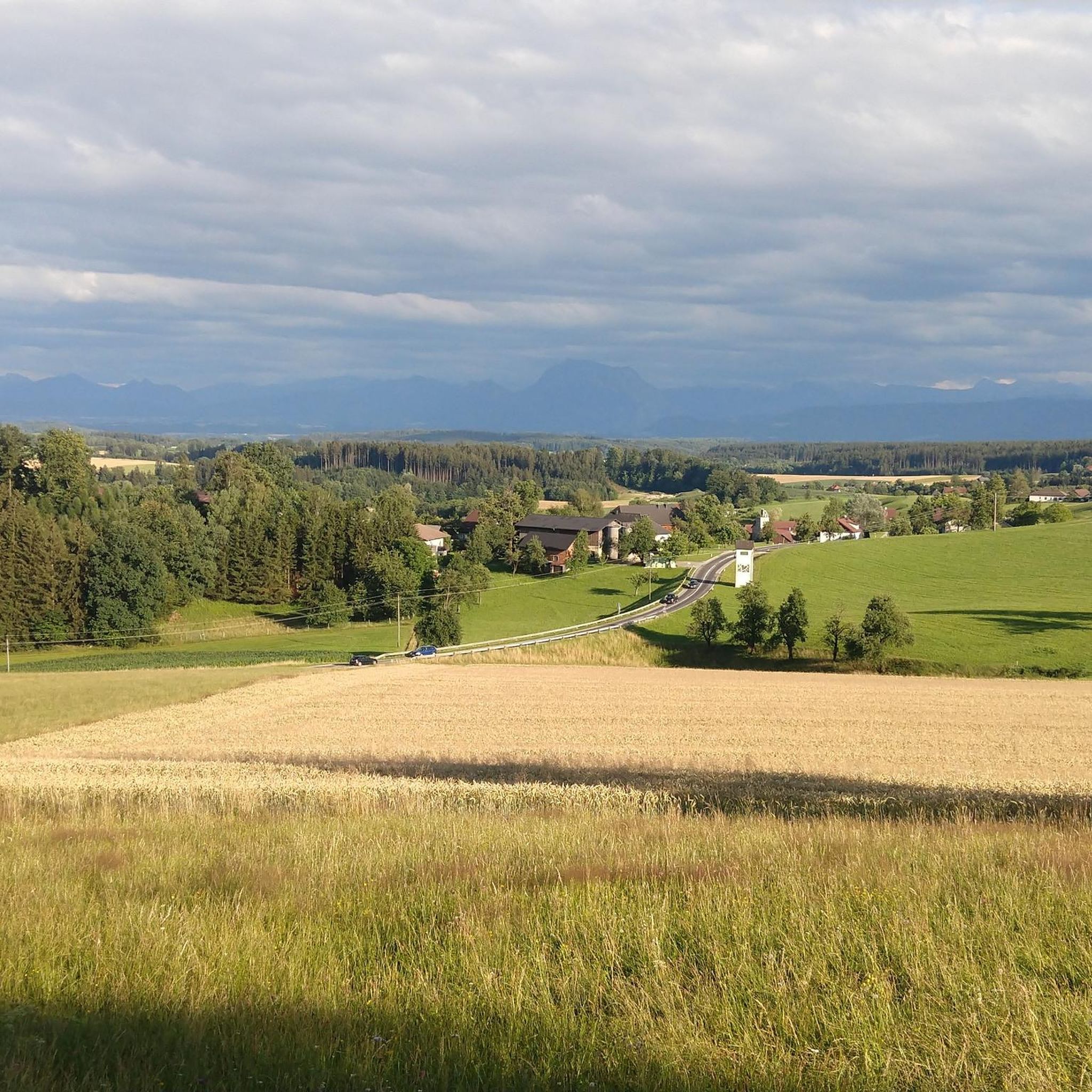
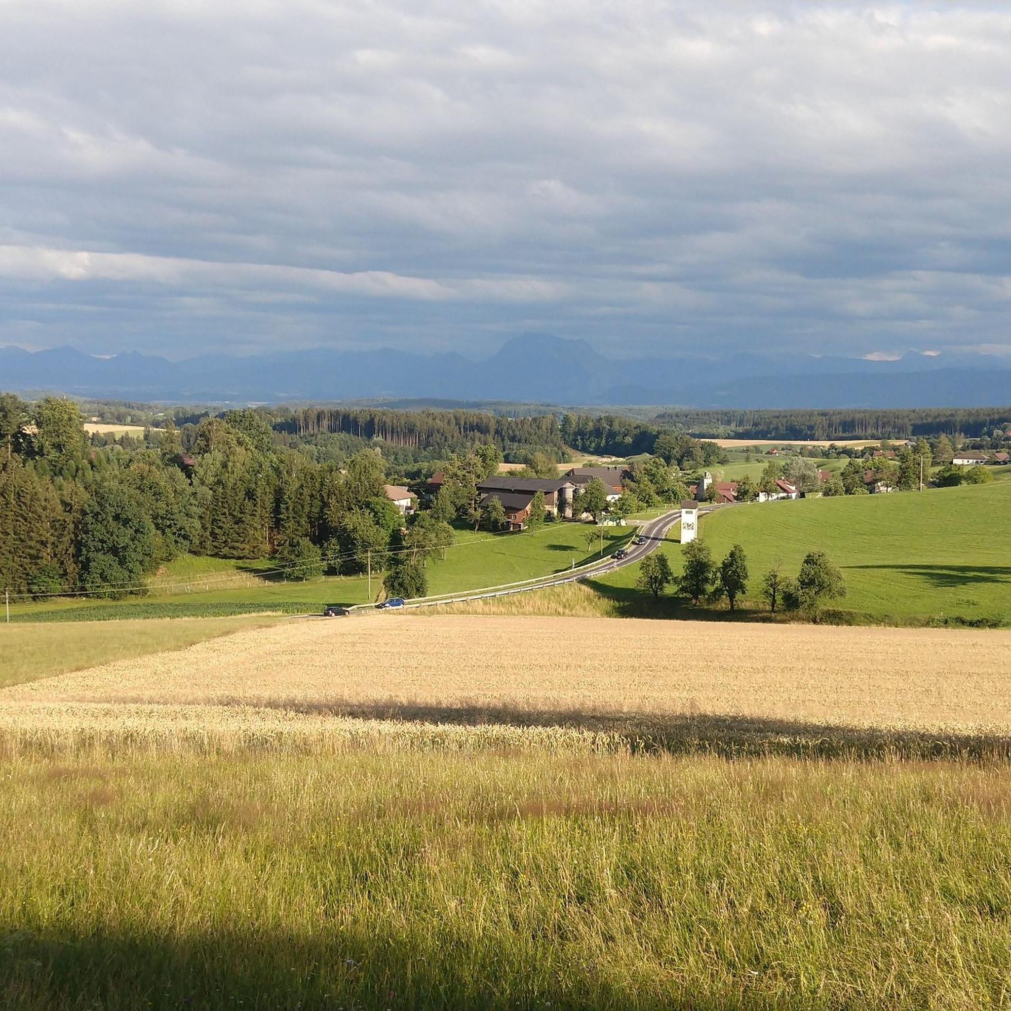
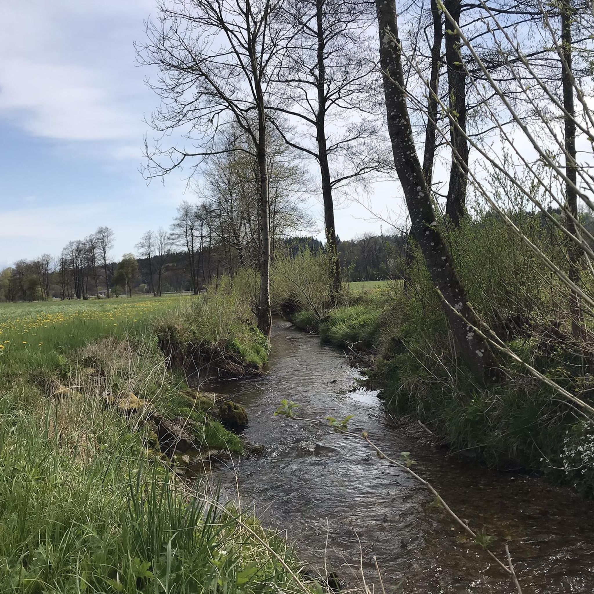
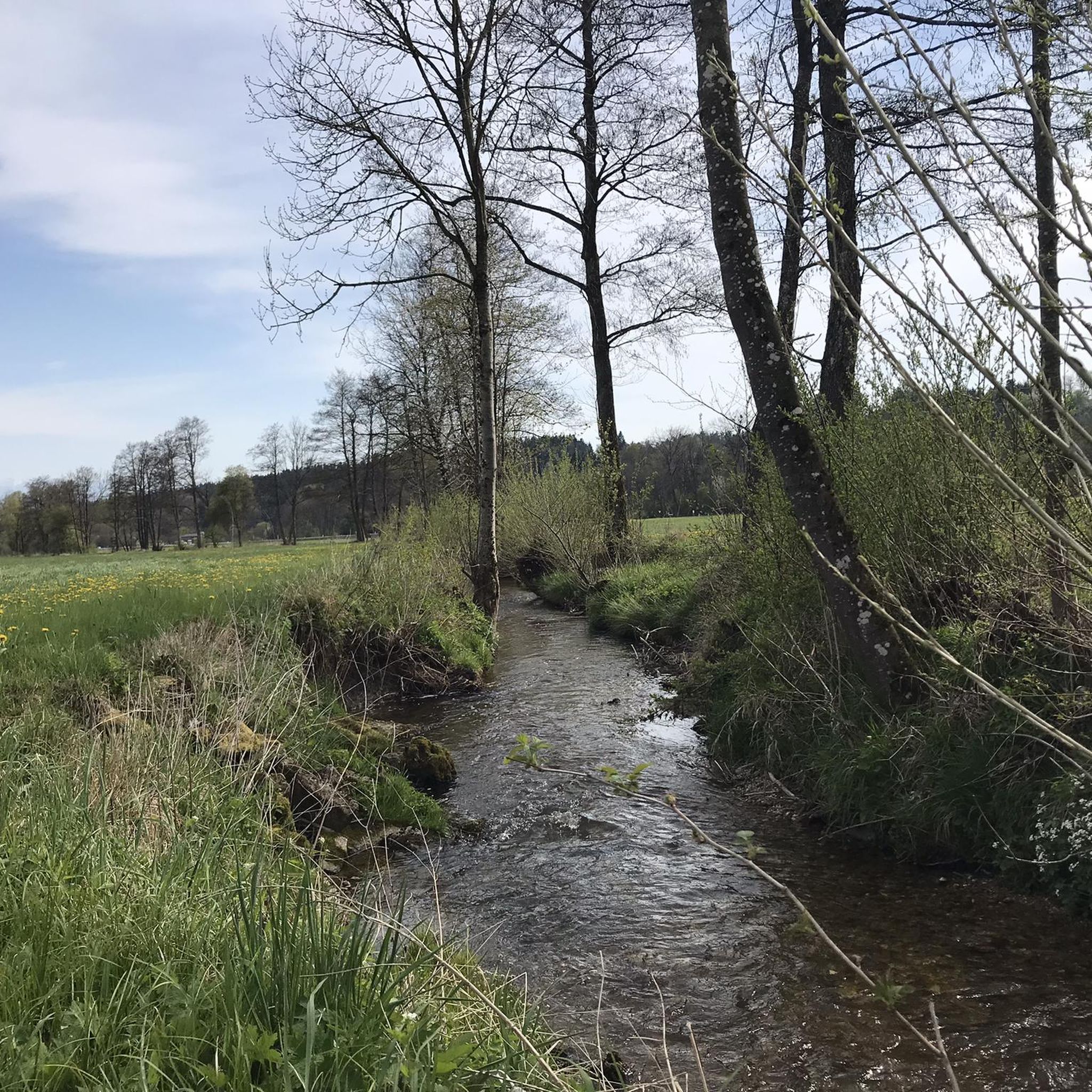
Tips from the Community

Very nice spot at an MTB trail junction with a rest area and information boards. Unfortunately, the MTB route from Aurach via Gstötten & Halbmoos up here is not marked on Komoot 🧐 - it is then visible on the map up here (green dots)
0
0
Very nice spot at an MTB trail crossing with a rest area and information boards. Unfortunately, the MTB route from Aurach via Gstötten & Halbmoos up here is not marked in Komoot 🧐 - then visible on the map up here (green dots)
0
0

Baroque jewel on the banks of the Traun
0
0
As a starting point for cycling tours, the Flößersteig car park behind the municipal office is well suited (quiet side roads). However, entering the town centre by car via Gmundnerstraße is very narrow - possibly try the car park after the cemetery as an alternative.
0
0
Through the division of the Ager and small weirs, islands have formed here, which create a very idyllic bathing area that is not as overcrowded as the bathing spots on the lake. You don't mind pushing the bikes through the area there 🥰
0
0

Guided tours with sky observation are regularly held. Sign up for the newsletter at https://astronomie.at/, the lead time is usually 2-4 days (depending on the weather forecast). It's definitely worth it. Otherwise, the sky here at night is so clear and without light pollution that you can see the entire Milky Way with the naked eye.
0
0
A nice resting place by the largest gravel pit - but swimming is forbidden everywhere here
0
0

We are always delighted again by this wonderful view and enjoy the resting place.
0
0
Frequently Asked Questions
What are the typical difficulty levels for gravel bike trails around Ungenach?
The gravel bike trails in Ungenach offer a range of difficulties. You'll find a few easy routes, a good number of moderate options (around 13), and a significant portion of more challenging trails (about 25). This variety ensures there's something for different skill levels, from leisurely rides along river valleys to more demanding ascents towards elevated points like the Hongar.
Are there any long-distance gravel bike routes available in the Ungenach area?
Yes, Ungenach features several longer gravel bike routes. For instance, the Traunsee near Ebensee – Parish Church of Traunkirchen on Lake Traunsee loop from Attnang-Puchheim is a substantial 62.2 miles (100.1 km) journey, often taking over 7 hours. Another extensive option is the Römerweg along the Ager River – Ager Weir Redlham Au loop from Vöcklabruck, which covers 56.8 miles (91.4 km) along the Ager River.
How long do gravel bike tours around Ungenach typically take?
Tour durations vary significantly depending on the route's length and difficulty. Shorter, moderate loops like the Lake Redlham – Ager Weir Redlham Au loop from Wankham can be completed in about 2 hours 21 minutes. Longer, more challenging routes, such as the Traunsee near Ebensee – Parish Church of Traunkirchen on Lake Traunsee loop from Attnang-Puchheim, can extend to over 7 hours.
Are there family-friendly gravel biking options around Ungenach?
While many routes are moderate to difficult, there are a few easier gravel biking options suitable for families or those seeking a more relaxed ride. These typically follow flatter sections along river valleys and lake shorelines, providing a gentler experience. Look for routes marked as 'easy' or 'moderate' for the most suitable family adventures.
What are some scenic viewpoints or attractions along the gravel bike routes near Ungenach?
The region offers beautiful scenery, including river valleys and lakes. For elevated views, consider routes that ascend towards the Hongar, such as the View from the Hongar – Alpenblick Viewpoint loop from Siebenmühlen-Rosenau or the View from the Hongar – Hongar Summit and Viewpoint loop from Regau. You can also explore nearby attractions like the Göblberg Observation Tower for panoramic vistas, or the tranquil Gerlhamer Moor Nature Reserve.
What do other gravel bikers enjoy most about gravel biking in Ungenach?
The area is highly rated by the komoot community, with an average score of 3.8 stars from over 9 reviews. Riders often praise the diverse terrain, which combines river paths and lake shorelines with more challenging hilly sections, offering varied experiences for different ability levels.
Are there any circular gravel bike trails around Ungenach?
Yes, many of the gravel bike trails around Ungenach are designed as loops, allowing you to start and end at the same point. Examples include the popular Lake Redlham – Ager Weir Redlham Au loop from Wankham and the longer Traunsee near Ebensee – Parish Church of Traunkirchen on Lake Traunsee loop from Attnang-Puchheim.
What kind of terrain can I expect on gravel bike trails in Ungenach?
Ungenach's gravel bike trails feature a varied landscape. You'll encounter flatter sections along river valleys, particularly near the Ager River, and scenic routes around lakes like Redlham and Traunsee. Additionally, there are more challenging, hilly sections as you ascend towards elevated points such as the Hongar, often navigating through a mix of open fields and forested areas.
Are there any natural monuments or unique natural features to explore near Ungenach?
Beyond the trails, Ungenach is close to several interesting natural features. You can visit the Gerlhamer Moor Nature Reserve for its unique ecosystem, or discover the Karl-Hausjell-Allee Pear Tree Avenue. The region also features various summits like the Lederer Kopf Summit, offering natural beauty and views.
How many gravel bike routes are there in total around Ungenach?
There are over 40 gravel bike routes available for exploration around Ungenach, offering a wide range of distances and difficulty levels to suit different preferences and fitness levels.
What is the best time of year for gravel biking in Ungenach?
The region's landscape, with its mix of river valleys, lakes, and forested sections, is enjoyable across multiple seasons. Spring and autumn generally offer pleasant temperatures and beautiful scenery. Summer is also suitable, though some routes might be more exposed to the sun. Winter gravel biking is possible, but conditions can vary, with potential for snow or ice on higher or less maintained paths.
Most popular routes around Ungenach
Most popular attractions around Ungenach

Get inspired with the komoot mobile app


Explore more
Browse the best Gravel rides in other regions.
