The best gravel rides around Neukirchen an der Vöckla
4.8
(8)
69
riders
21
rides
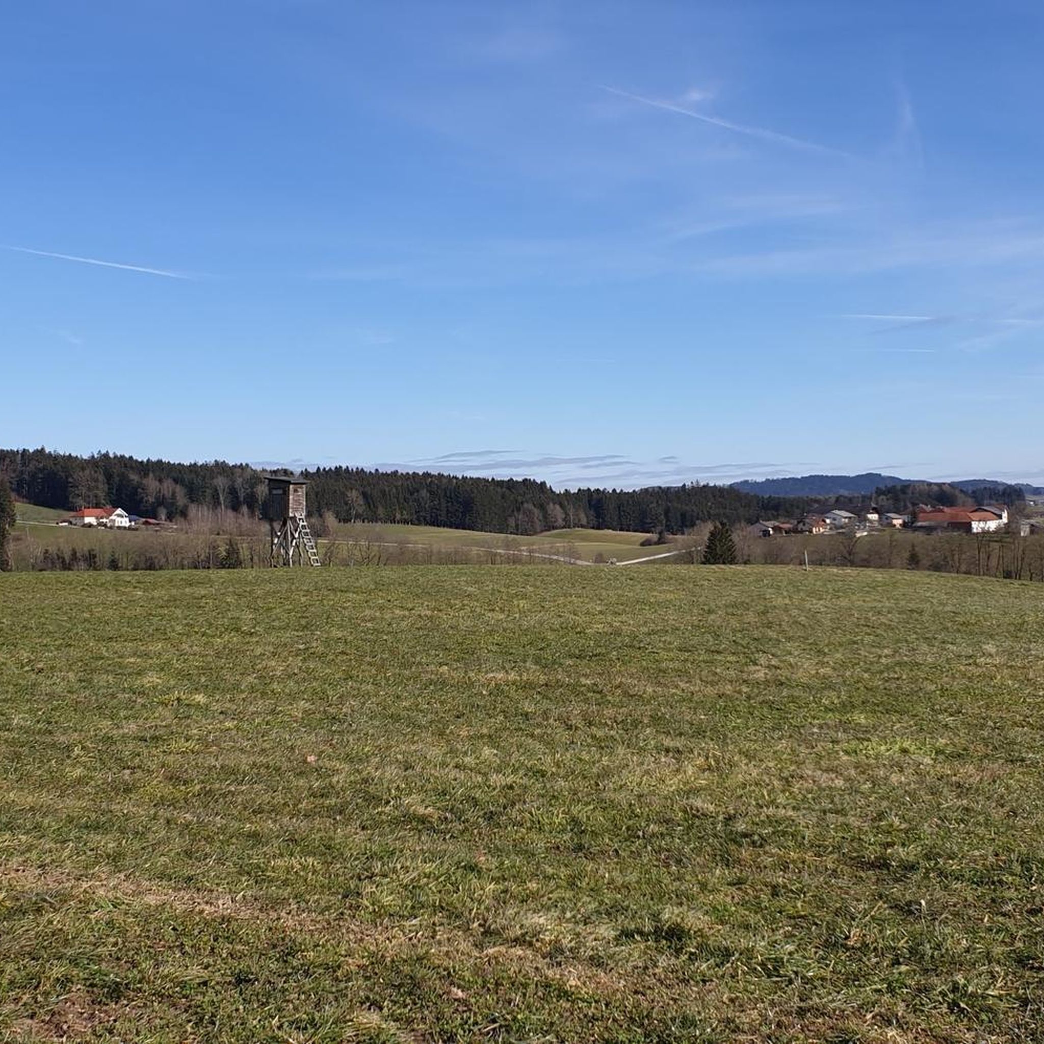
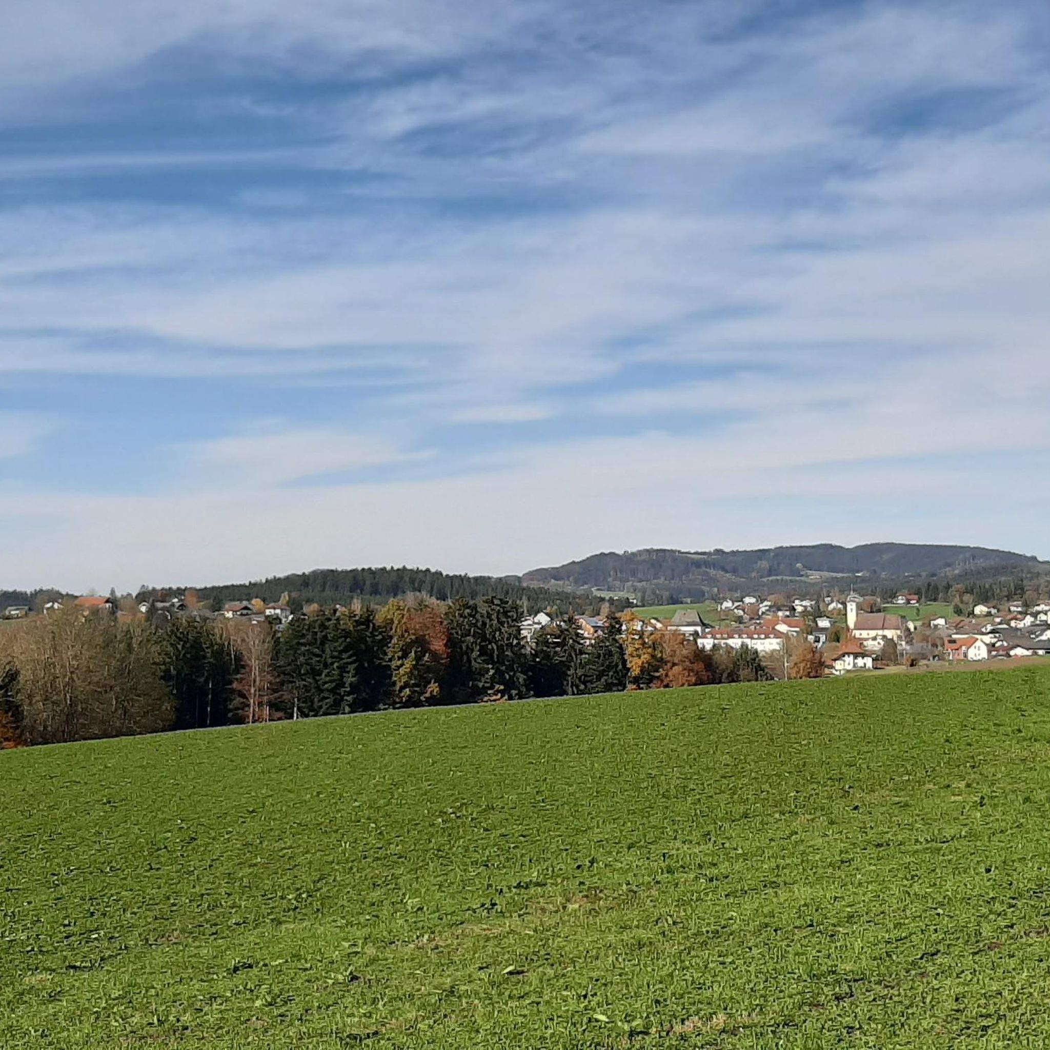
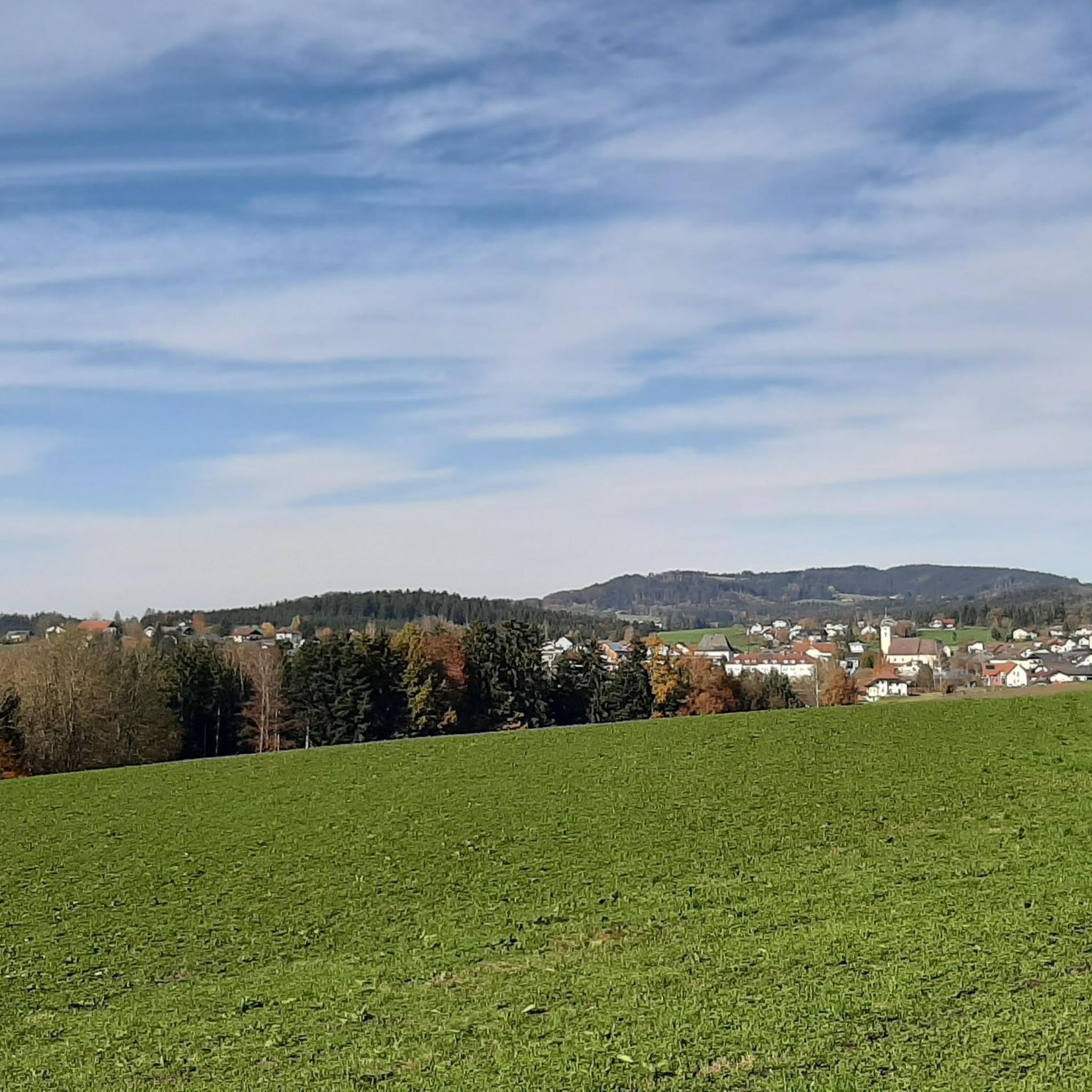
Gravel biking around Neukirchen an der Vöckla offers varied landscapes, characterized by rolling hills, green meadows, and the meandering Vöckla river. The region is situated on the southern slope of the Hausruckwald, providing diverse forest terrain, and is in close proximity to the Salzkammergut, known for its extensive network of forest roads and mixed tarmac and gravel paths. This environment supports a range of gravel biking experiences, from gentle paths to challenging ascents.
Best gravel bike trails around Neukirchen an…
Last updated: November 2, 2026
4.6
(7)
33
riders
53.4km
04:06
1,300m
1,300m
Hard gravel ride. Very good fitness required. Mostly paved surfaces.
5.0
(1)
22
riders
18.9km
01:36
420m
420m
Moderate gravel ride. Good fitness required. Mostly paved surfaces.

5.0
(1)
12
riders
Hard gravel ride. Very good fitness required. Mostly paved surfaces.
4
riders
30.8km
02:30
770m
770m
Hard gravel ride. Very good fitness required. Mostly paved surfaces.
5
riders
Hard gravel ride. Very good fitness required. Mostly paved surfaces.
Get access to more routes and recommendations from other explorers.
Already have an account?
Our route recommendations are based on thousands of hikes, rides, and runs completed by other people on komoot.
Start today with a free account
Your next adventure awaits.
Tips from the Community

The view is gone, the young forest in the north has grown
0
0
Highest point - but only of the northern mountain range of Hongar - alpine mountain - Gahberg 🧐
0
0
Very nice spot at an MTB trail junction with a rest area and information boards. Unfortunately, the MTB route from Aurach via Gstötten & Halbmoos up here is not marked on Komoot 🧐 - it is then visible on the map up here (green dots)
0
0
Very nice spot at an MTB trail crossing with a rest area and information boards. Unfortunately, the MTB route from Aurach via Gstötten & Halbmoos up here is not marked in Komoot 🧐 - then visible on the map up here (green dots)
0
0
As a starting point for cycling tours, the Flößersteig car park behind the municipal office is well suited (quiet side roads). However, entering the town centre by car via Gmundnerstraße is very narrow - possibly try the car park after the cemetery as an alternative.
0
0
Through the division of the Ager and small weirs, islands have formed here, which create a very idyllic bathing area that is not as overcrowded as the bathing spots on the lake. You don't mind pushing the bikes through the area there 🥰
0
0

Guided tours with sky observation are regularly held. Sign up for the newsletter at https://astronomie.at/, the lead time is usually 2-4 days (depending on the weather forecast). It's definitely worth it. Otherwise, the sky here at night is so clear and without light pollution that you can see the entire Milky Way with the naked eye.
0
0
A wonderful hidden spot in the beautiful recreational area in front of Regau 🥰
0
0
Frequently Asked Questions
How many gravel bike trails are available around Neukirchen an der Vöckla?
There are over 50 gravel bike routes in the Neukirchen an der Vöckla region. These routes offer a diverse range of experiences, from easy paths to challenging ascents, catering to various skill levels.
What kind of terrain can I expect on gravel bike trails in Neukirchen an der Vöckla?
The terrain around Neukirchen an der Vöckla is characterized by an exciting mix of tarmac and gravel paths. You'll encounter rolling hills, green meadows, and dense forest roads, particularly within the Hausruckwald. The proximity to the Salzkammergut also means access to an extensive network of forest roads and varied surfaces, perfect for gravel biking.
Are there any family-friendly gravel bike routes in the area?
Yes, the region offers routes suitable for families. While specific 'family-friendly' routes are not explicitly detailed, the overall network includes options for easy and moderate ability levels. For a shorter, moderate ride, consider the Schörfling am Attersee – Loitzenwies Pond loop from Schörfling am Attersee, which is about 19.3 km long and takes around 1 hour 36 minutes.
What are some scenic viewpoints or natural features I can discover on a gravel bike ride?
Many routes offer picturesque views. For expansive vistas, consider routes that provide views of Lake Attersee, such as the View of Lake Attersee – View of Attersee from Gahberg loop from Kammer-Schörfling. You can also find routes leading to viewpoints like the Göblberg Observation Tower or the Lederer Kopf Summit, offering panoramic views of the surrounding landscapes and the Salzkammergut region.
Are there any circular gravel bike routes available?
Yes, many of the gravel bike routes in the region are designed as loops. For example, the Römerweg along the Ager River – Ager Weir Redlham Au loop from Vöcklabruck offers a longer circular experience following the Ager River. Another option is the View from the Hongar – Alpenblick Viewpoint loop from Siebenmühlen-Rosenau, which provides a challenging loop with scenic views.
What is the best time of year for gravel biking in Neukirchen an der Vöckla?
The region is generally enjoyable for gravel biking from spring through autumn. The varied landscapes, including forests and meadows, are particularly beautiful during these seasons. While winter biking is possible, conditions can be challenging due to snow and ice, especially on unpaved forest roads.
What do other gravel bikers enjoy most about the trails in Neukirchen an der Vöckla?
The komoot community rates the gravel biking experience in Neukirchen an der Vöckla highly, with an average score of 4.0 stars. Riders often praise the diverse terrain, the mix of tarmac and gravel paths, and the beautiful natural scenery, especially the views of Lake Attersee and the quiet forest roads of the Hausruckwald.
Are there any challenging gravel bike routes for experienced riders?
Absolutely. The region offers a significant number of difficult routes, with 33 out of 50 routes classified as challenging. An example is the View of Lake Attersee – View of Attersee from Gahberg loop from Kammer-Schörfling, a difficult 53.7 km trail with substantial elevation gain, offering a rewarding experience for advanced gravel bikers.
Can I find routes that follow rivers or lakes?
Yes, the region's natural features include the meandering Vöckla river and proximity to the clear lakes of the Salzkammergut. The Römerweg along the Ager River – Ager Weir Redlham Au loop from Vöcklabruck is a great option for a ride that follows the Ager River, providing a mix of riverside paths and varied terrain.
Are there any huts or places to rest along the gravel bike trails?
Yes, you can find huts and other points of interest. For example, the Kalteis Hut and the Pettenfirst Hut are located in the vicinity and could serve as resting points or destinations on your rides.
What is the longest gravel bike route in the area?
One of the longer and more challenging routes is the Römerweg along the Ager River – Ager Weir Redlham Au loop from Vöcklabruck, which spans approximately 91.4 km and is classified as difficult.
Most popular routes around Neukirchen an der Vöckla
Most popular attractions around Neukirchen an der Vöckla

Get inspired with the komoot mobile app


Explore more
Browse the best Gravel rides in other regions.
