The best gravel rides around Engerwitzdorf
4.3
(25)
220
riders
39
rides
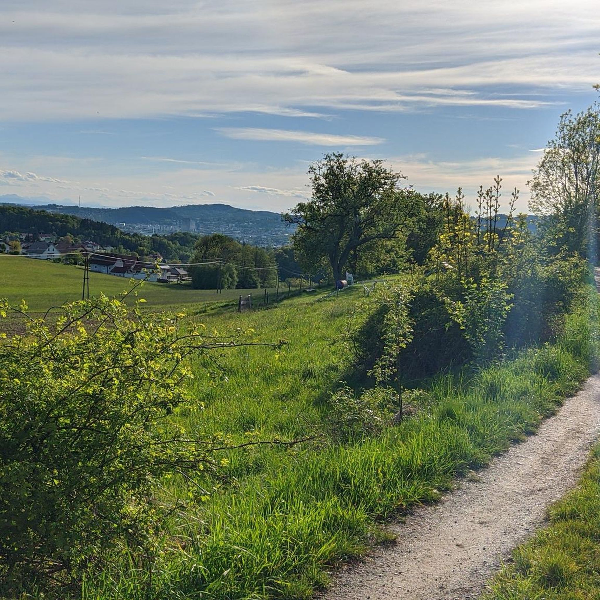
Gravel biking around Engerwitzdorf offers diverse terrain across rolling green foothills and picturesque landscapes in the Urfahr-Umgebung district of Upper Austria. The region features a blend of rural charm with idyllic forests and green meadows, providing varied terrain suitable for gravel biking. Elevated points offer views of the Mühlviertel region, and the area is in proximity to the Danube River, introducing opportunities for riverside rides. The landscape includes the Mirellental valley and the Gusen river, contributing to scenic routes.
Best…
Last updated: November 3, 2026
4.4
(7)
41
riders
Moderate gravel ride. Good fitness required. Mostly paved surfaces.
4.0
(1)
8
riders
Hard gravel ride. Very good fitness required. You may need to push your bike for some segments of this route.

36
riders
84.8km
06:03
1,590m
1,590m
Hard gravel ride. Very good fitness required. Mostly paved surfaces.
4.0
(2)
13
riders
41.3km
03:14
790m
790m
Hard gravel ride. Very good fitness required. Mostly paved surfaces.
5.0
(1)
12
riders
Moderate gravel ride. Good fitness required. Mostly paved surfaces.
Get access to more routes and recommendations from other explorers.
Already have an account?
Our route recommendations are based on thousands of hikes, rides, and runs completed by other people on komoot.
Start today with a free account
Your next adventure awaits.
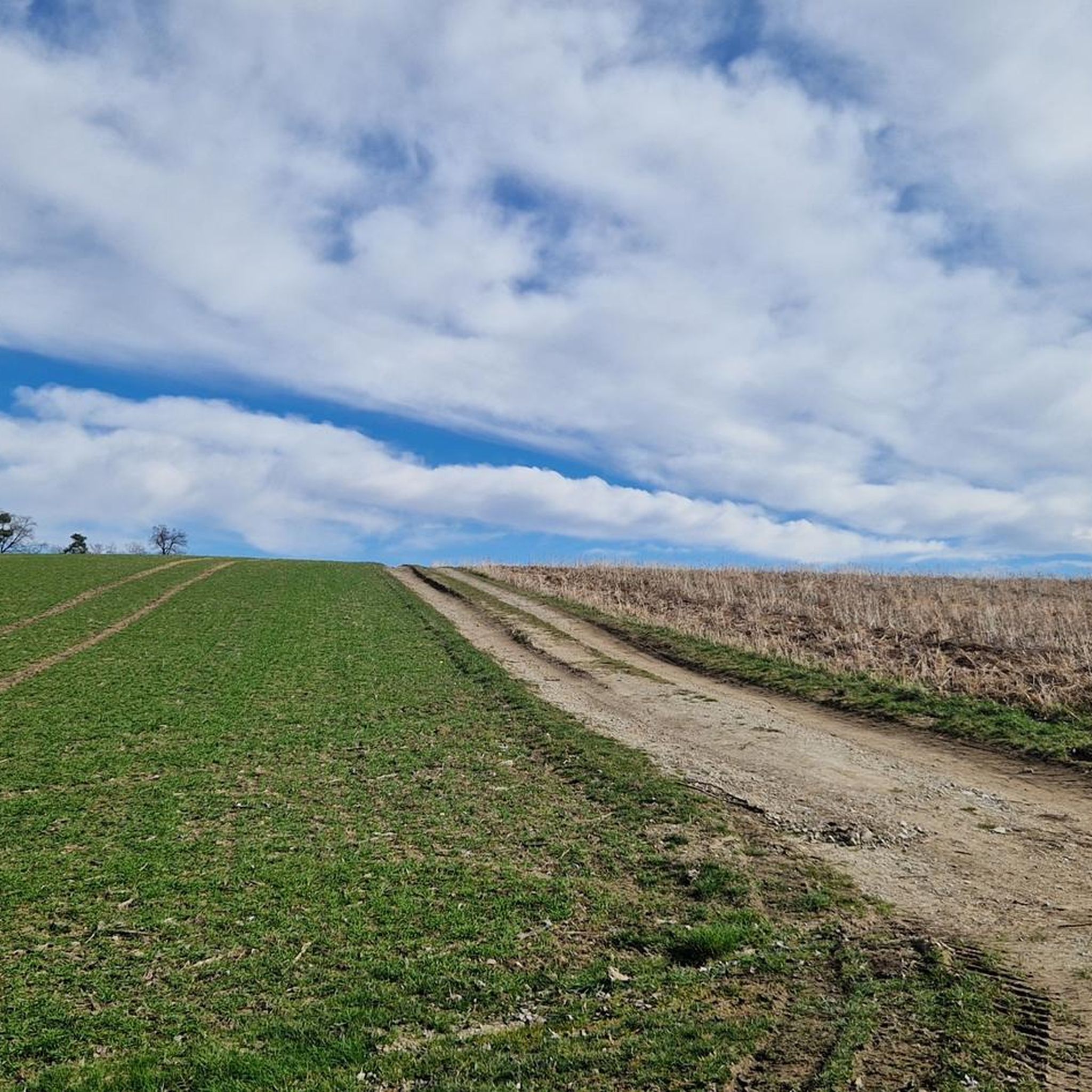
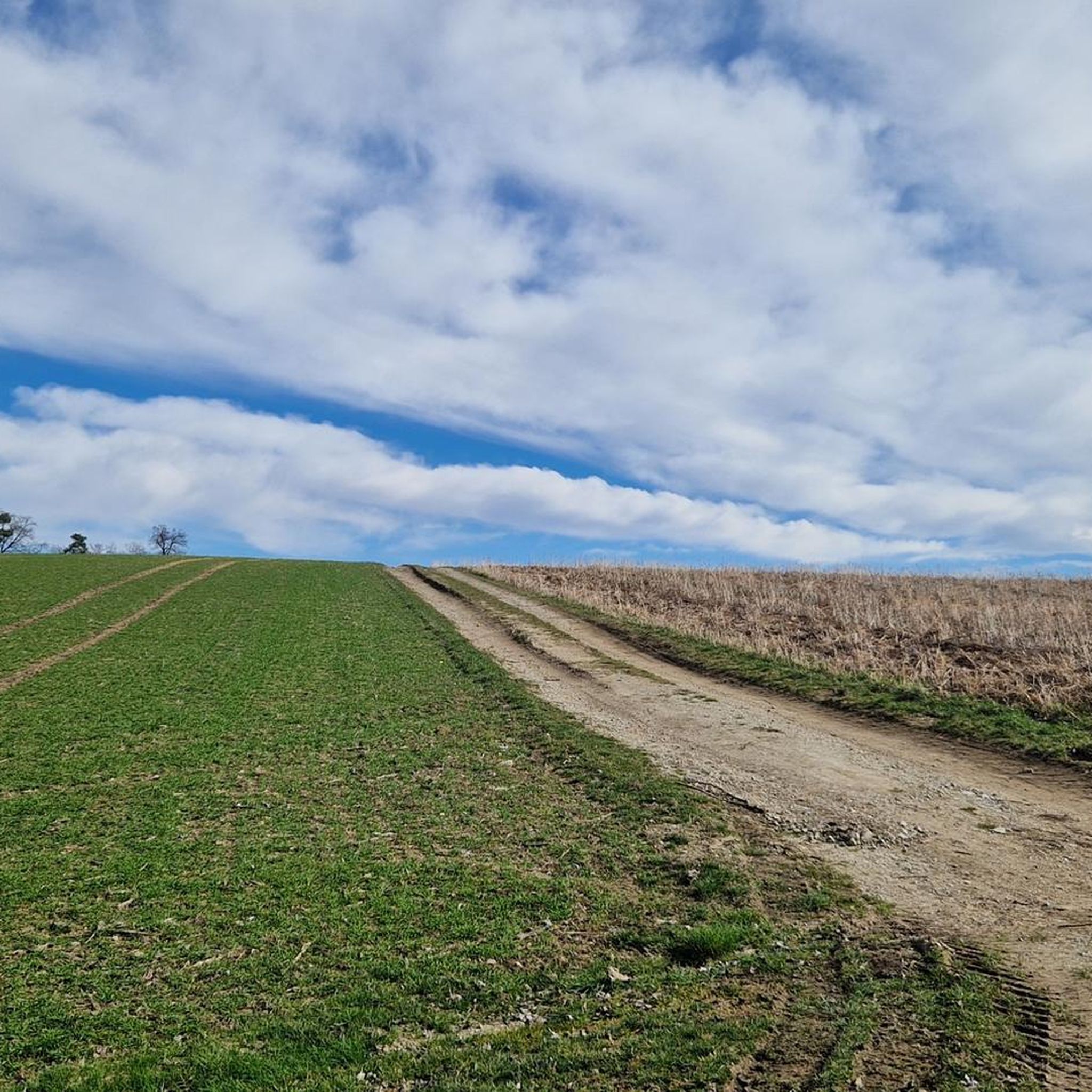
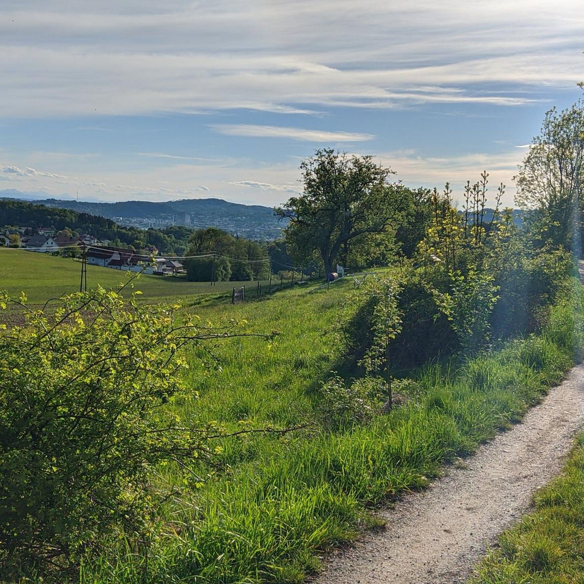
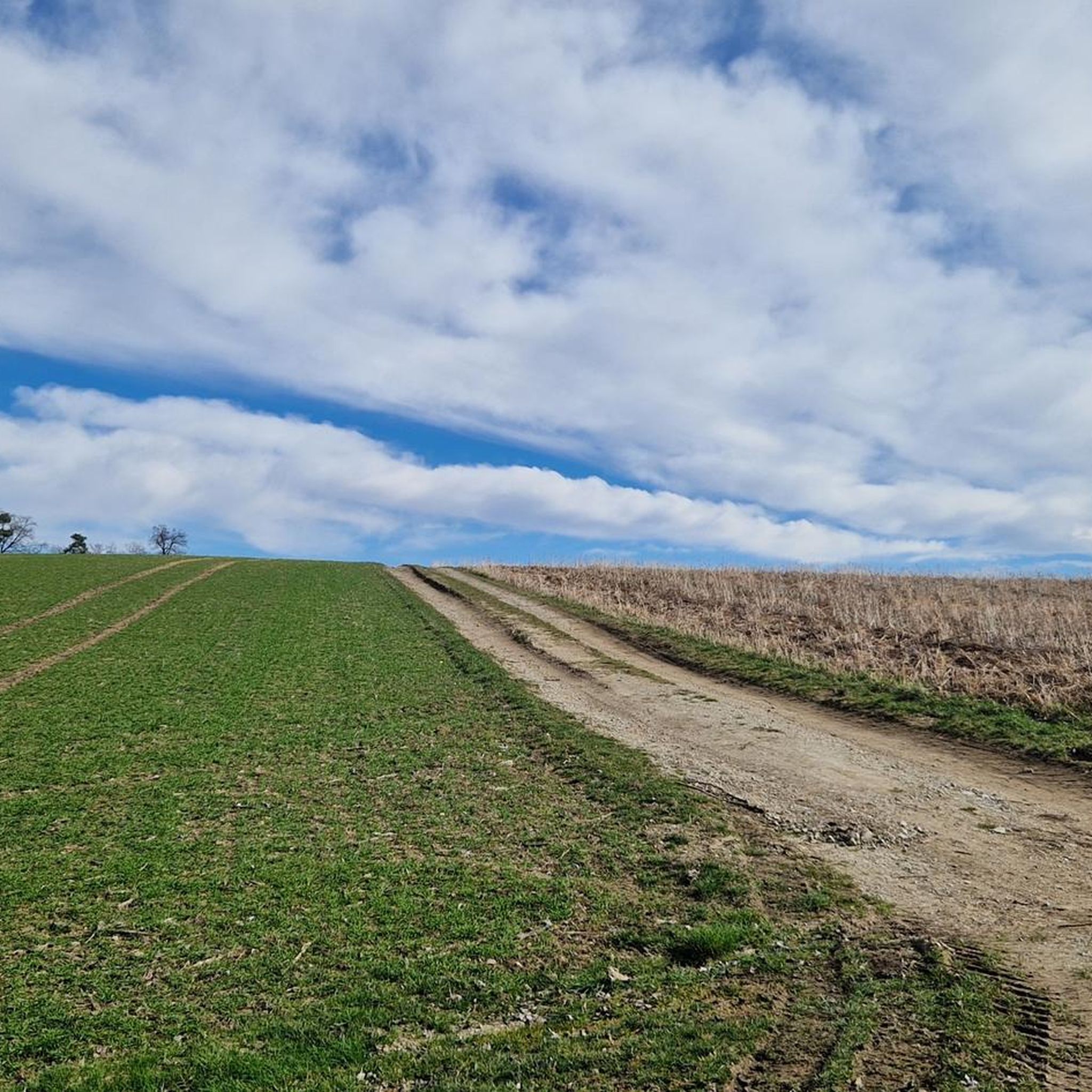
Tips from the Community

Warning: Komoot is once again providing completely incorrect data. Please use the operator's website if you want to mountain bike safely and legally: https://uppertrails.at/trails/pfenningberg-trails/
0
0
Important information: Due to its poor data management, Komoot contains numerous inaccuracies that are unfortunately not updated by the site operators, Komoot. For accurate data and current trail closures, please visit our dedicated website: www.uppertrails.at The routing function on Komoot also provides numerous inaccuracies and trail closures. As the trail operators, we strongly recommend deleting this app if you wish to mountain bike legally. There are several reputable products and portals available that you can use for your tour planning (Brouter, Trailforks, etc.). Best regards, your Trail Team
1
0

The point is in the middle of the settlement - view obscured 🙄
0
0
In clear weather, the Alpine chain from the Ötscher to Traunstein would be visible above Loibersdorf.
0
0
In clear weather, the Alpine chain from the Ötscher to Traunstein would be visible above Loibersdorf.
0
0

A Linz city summit for every season and every type of weather.
2
0

Very nice for resting
1
0
Meeting point for lovers 😍
1
0
Frequently Asked Questions
How many gravel bike trails are available in Engerwitzdorf?
Engerwitzdorf offers a wide selection of nearly 100 gravel bike routes. These include 4 easy, 25 moderate, and 70 difficult trails, catering to various skill levels and preferences.
What is the best time of year for gravel biking in Engerwitzdorf?
The most enjoyable seasons for gravel biking in Engerwitzdorf are generally spring and autumn. During these times, the natural scenery, with its vibrant forests and green meadows, is at its most picturesque, offering an ideal backdrop for outdoor activities.
Are there challenging gravel bike routes in Engerwitzdorf?
Yes, Engerwitzdorf features a significant number of challenging gravel bike routes, with 70 classified as difficult. An example is the Riedegg Castle – Dry stone wall Hadersdorf loop from ehem. Pferdeeisenbahn Budweis–Linz–Gmunden, which covers 19.8 miles (31.8 km) with over 640 meters of elevation gain, offering a demanding ride through varied terrain.
Can I find family-friendly gravel bike trails in Engerwitzdorf?
While many routes offer varied terrain, some of the easier and moderate trails are suitable for families. The region's rolling hills and picturesque landscapes provide a pleasant environment for less strenuous rides, allowing families to enjoy the natural beauty together.
What kind of views can I expect on the gravel bike trails?
Engerwitzdorf's gravel bike trails offer diverse and scenic views. You can expect picturesque landscapes with rolling hills, idyllic forests, and green meadows. Elevated points, such as the 'Himmelreich' lookout point, provide breathtaking views of the Mühlviertel region. The area's proximity to the Danube Valley also means some routes offer glimpses of the Danube River and its surroundings.
Are there any historical or cultural landmarks along the gravel routes?
Yes, several routes pass by interesting landmarks. For instance, the Riedegg Castle – Dry stone wall Hadersdorf loop takes you past Riedegg Castle. Additionally, the region is home to other historical sites like the Waxenberg ruins, which can be incorporated into your cycling adventures. You can also explore nearby attractions such as Linz Castle or Reichenstein Castle.
Are there any routes that feature lakes or water bodies?
While Engerwitzdorf itself is characterized by hills and forests, the broader region offers routes that can lead to beautiful lakes. For example, you might find routes connecting to nearby highlights like Pichlinger Lake or Pleschinger Lake, providing a refreshing change of scenery.
What do other gravel bikers say about the trails in Engerwitzdorf?
The gravel biking routes in Engerwitzdorf are highly regarded by the komoot community, with an average rating of 4.5 stars from over 140 reviews. More than 1200 gravel bikers have used komoot to explore the area, often praising the diverse terrain, rolling hills, and the blend of rural charm with natural beauty.
Are there any long-distance gravel routes available?
Yes, for those seeking longer rides, Engerwitzdorf offers extensive options. The Ottenschlag Landscape Pond – Roadlhof Inn loop from Statzing is a challenging route spanning nearly 97 kilometers (60 miles) with over 1700 meters of elevation gain, perfect for an all-day adventure.
Are there circular gravel bike routes in Engerwitzdorf?
Many of the gravel bike trails in Engerwitzdorf are designed as circular routes, allowing you to start and end at the same point. Examples include the Finstergrabenbach Bike Route – Three Beeches Cross loop from Dornach and the Three Beeches Cross – Pfenningberg Summit Cross loop from Johannes Kepler University Linz.
What is the typical elevation gain on gravel bike routes in Engerwitzdorf?
The elevation gain varies significantly depending on the route's difficulty. Moderate trails like the Finstergrabenbach Bike Route – Three Beeches Cross loop feature around 370 meters of ascent, while more difficult routes such as the View of Linz – Southeast View of Linz loop can involve over 700 meters of climbing, offering a good workout amidst the rolling hills.
Most popular routes around Engerwitzdorf
Most popular attractions around Engerwitzdorf

Get inspired with the komoot mobile app


Explore more
Browse the best Gravel rides in other regions.
