The best gravel rides around Kremsmünster
4.5
(4)
42
riders
6
rides
Gravel biking around Kremsmünster offers varied terrain across Upper Austria's landscape, situated in the foothills of the Alps. The region features rolling hills, expansive meadows, and dense forests, providing diverse scenery for riders. Routes often traverse a mix of paved and unpaved surfaces, characteristic of gravel biking, with the Krems River and elevated points contributing to the area's natural features. This blend of terrain allows for routes that combine paved sections with unpaved gravel paths and forest trails.
Best gravel…
Last updated: July 29, 2026
5.0
(1)
15
riders
66.0km
04:38
1,160m
1,160m
Hard gravel ride. Very good fitness required. Mostly paved surfaces. Suitable for all skill levels.
5.0
(1)
3
riders
Moderate gravel ride. Good fitness required. Mostly paved surfaces. Suitable for all skill levels.

Sign up for free
5.0
(1)
8
riders
24.0km
01:19
130m
130m
Easy gravel ride. Great for any fitness level. Mostly paved surfaces. Suitable for all skill levels.
8
riders
90.2km
05:47
1,180m
1,180m
Hard gravel ride. Very good fitness required. Mostly paved surfaces. Suitable for all skill levels.
1
riders
23.5km
01:41
280m
280m
Moderate gravel ride. Good fitness required. Mostly paved surfaces. Suitable for all skill levels.
Our route recommendations are based on thousands of hikes, rides, and runs completed by other people on komoot.
Start today with a free account
Your next adventure awaits.
Login or Signup
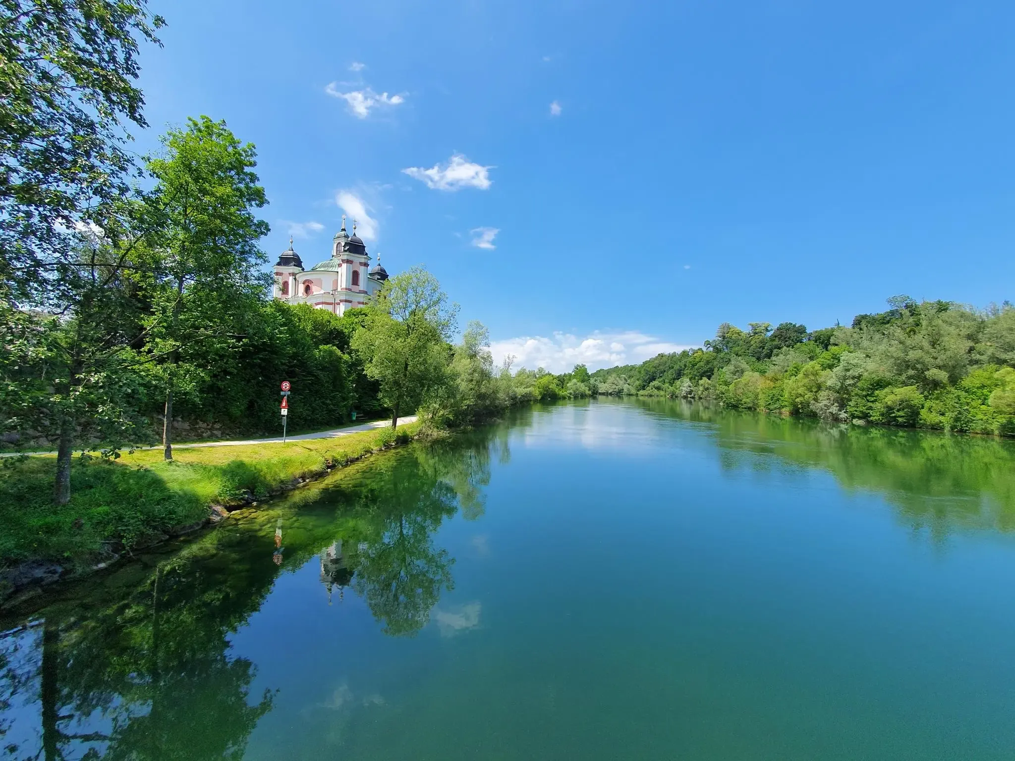
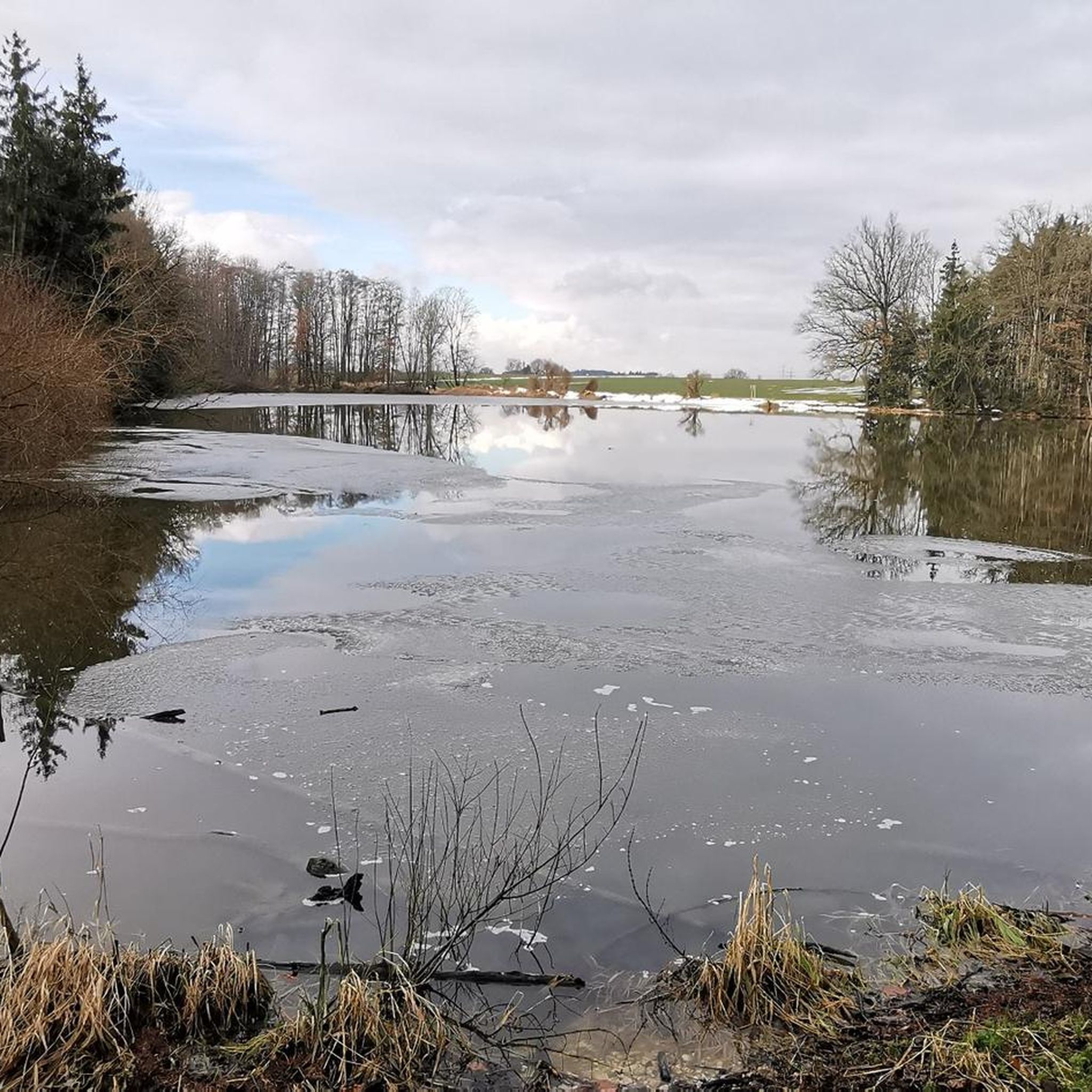
Other adventures around Kremsmünster

Tips from the Community

beautifully laid out and well signposted cycle path
0
0
always a beautiful sight towards the Traunstein
0
0
A view that is hard to beat in terms of landscape at the end of the Almtal valley
0
0

From here you can ride directly over the Gschirrsattel by mountain bike to Offensee and Bad Ischl
0
1


The Schoberstein road leads through the quarry to Mandlmais – but is it marked as a cycling ban here, or is it not (the sign has been covered over)? The alternative is a 180-meter descent to Trattenbach and back up again (but was currently closed due to logging work).
0
0

At the end of the lake there is a large parking lot
4
1
Frequently Asked Questions
How many gravel bike trails are available in Kremsmünster?
There are 17 gravel bike trails around Kremsmünster, offering a variety of experiences for riders. These routes are highly rated by the komoot community, with an average score of 4.5 stars.
What kind of terrain can I expect on gravel bike trails around Kremsmünster?
The region offers diverse terrain, characterized by rolling hills, expansive meadows, and dense forests. You'll encounter a mix of paved and unpaved surfaces, with scenic riverine paths along the Krems River and elevated points like Gusterberg providing panoramic views.
Are there options for different skill levels?
Yes, Kremsmünster's gravel biking network caters to various abilities. You can find 1 easy route, 10 moderate routes, and 6 difficult routes, ensuring there's a suitable challenge for every rider.
What is the best time of year for gravel biking in Kremsmünster?
While specific seasonal conditions can vary, the diverse landscape of rolling hills, meadows, and forests makes Kremsmünster enjoyable for gravel biking through much of the year. Spring and autumn often provide pleasant temperatures and vibrant scenery. Always check local weather conditions before heading out.
Are there any notable landmarks or viewpoints along the gravel bike routes?
Absolutely! Many routes pass by or offer views of significant landmarks. You might encounter the historic Kremsmünster Abbey, or enjoy extensive views from the Baum Mitten in der Welt Observation Tower, which inspired Adalbert Stifter. The region also features Bad Hall, known for its historic charm.
Can I find natural features like waterfalls or scenic ponds on these trails?
Yes, the region boasts beautiful natural features. The picturesque Tempeltal Valley is known for its natural attractions, including caves and a waterfall. You can also find serene natural settings around the Schacherteiche Nature Reserve and the Middle Schacherteich, which are often integrated into local routes.
Are there any circular gravel bike routes in the area?
Many of the gravel bike routes around Kremsmünster are designed as loops, allowing you to start and end at the same point. An example is the Krems River – Krems River Trail loop from Kematen-Piberbach, which is an easy 14.9-mile (23.9 km) ride.
Is it possible to access the gravel trails using public transport?
While specific public transport connections to trailheads can vary, Kremsmünster is part of Upper Austria's transport network. It's advisable to check local bus or train schedules to see which routes might bring you closest to your desired starting point. Some routes, like the Krems River – Weikerlsee Bridge loop from Kremsmünster, start directly from the town.
Where can I park my car when starting a gravel bike tour?
Parking availability varies by trailhead. For tours starting directly from towns like Kremsmünster or Bad Hall, public parking options are generally available. For routes in more rural areas, look for designated parking spots near trail access points. Always check local signage for parking regulations.
Are there family-friendly gravel biking options in Kremsmünster?
Yes, there are easier routes suitable for families. The Krems River – Krems River Trail loop from Kematen-Piberbach is an easy 14.9-mile (23.9 km) route that follows the scenic Krems River, offering a pleasant experience for riders of varying ages and skill levels.
Are there any routes that include stops for refreshments or cafes?
Many routes pass through or near towns and villages where you can find opportunities for refreshments. For example, routes around Bad Hall or Kremsmünster itself offer cafes and eateries. Planning your route with komoot allows you to identify potential stops along the way.
What do other gravel bikers say about the trails in Kremsmünster?
The gravel biking trails in Kremsmünster are highly regarded by the komoot community, with an average rating of 4.5 out of 5 stars from several reviews. Over 60 gravel bikers have used komoot to explore the varied terrain, often praising the diverse landscapes and well-maintained paths.
Are there any longer, more challenging gravel routes for experienced riders?
For experienced riders seeking a challenge, the region offers several difficult routes. The Almsee – Almsee loop from Voitsdorf is a demanding 61.7-mile (99.3 km) tour with significant elevation gain, providing an extensive and rewarding ride through varied landscapes.
Most popular routes around Kremsmünster
Most popular attractions around Kremsmünster

Get inspired with the komoot mobile app


Explore more
Browse the best Gravel rides in other regions.
