The best gravel rides around Tschiertschen
4.4
(74)
878
riders
36
rides
Gravel biking around Tschiertschen features routes through mountainous terrain, encompassing high alpine passes, river valleys, and forested sections. The region is characterized by significant elevation changes, with trails often leading to viewpoints and past alpine lakes. Riders can expect a mix of paved and unpaved surfaces, typical of gravel routes in the Swiss Alps. The landscape provides varied challenges and scenic backdrops for gravel biking.
Best gravel bike trails around Tschiertschen
- The most popular gravel bike trail is Kunkelsstrasse –…
Last updated: July 29, 2026
4.6
(32)
332
riders
60.4km
04:05
1,090m
1,090m
Hard gravel ride. Very good fitness required. Mostly paved surfaces. Suitable for all skill levels.
5.0
(1)
17
riders
32.1km
03:00
1,080m
1,080m
Hard gravel ride. Very good fitness required. Mostly paved surfaces. Suitable for all skill levels.

Sign up for free
16
riders
20.8km
02:11
810m
810m
Hard gravel ride. Very good fitness required. Mostly paved surfaces. Suitable for all skill levels.
4.7
(3)
18
riders
53.8km
04:14
1,450m
1,450m
Hard gravel ride. Very good fitness required. Mostly paved surfaces. Suitable for all skill levels.
5.0
(1)
26
riders
17.0km
01:14
320m
320m
Moderate gravel ride. Good fitness required. Mostly paved surfaces. Suitable for all skill levels.
Get access to more routes and recommendations from other explorers.
Sign up for free
Already have an account?
Our route recommendations are based on thousands of hikes, rides, and runs completed by other people on komoot.
Start today with a free account
Your next adventure awaits.
Login or Signup
Popular around Tschiertschen
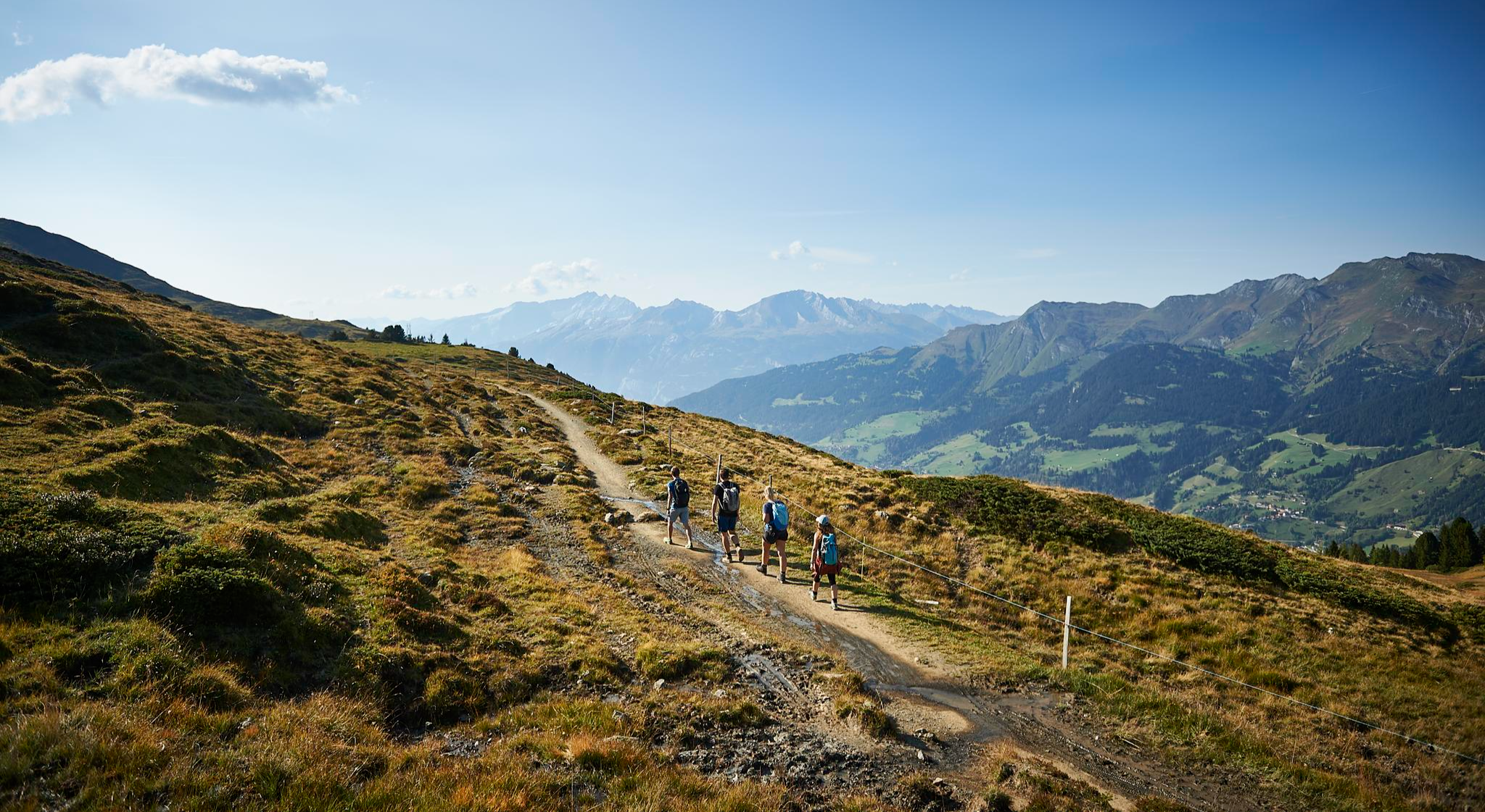
The favourite routes of the locals - hiking around Arosa
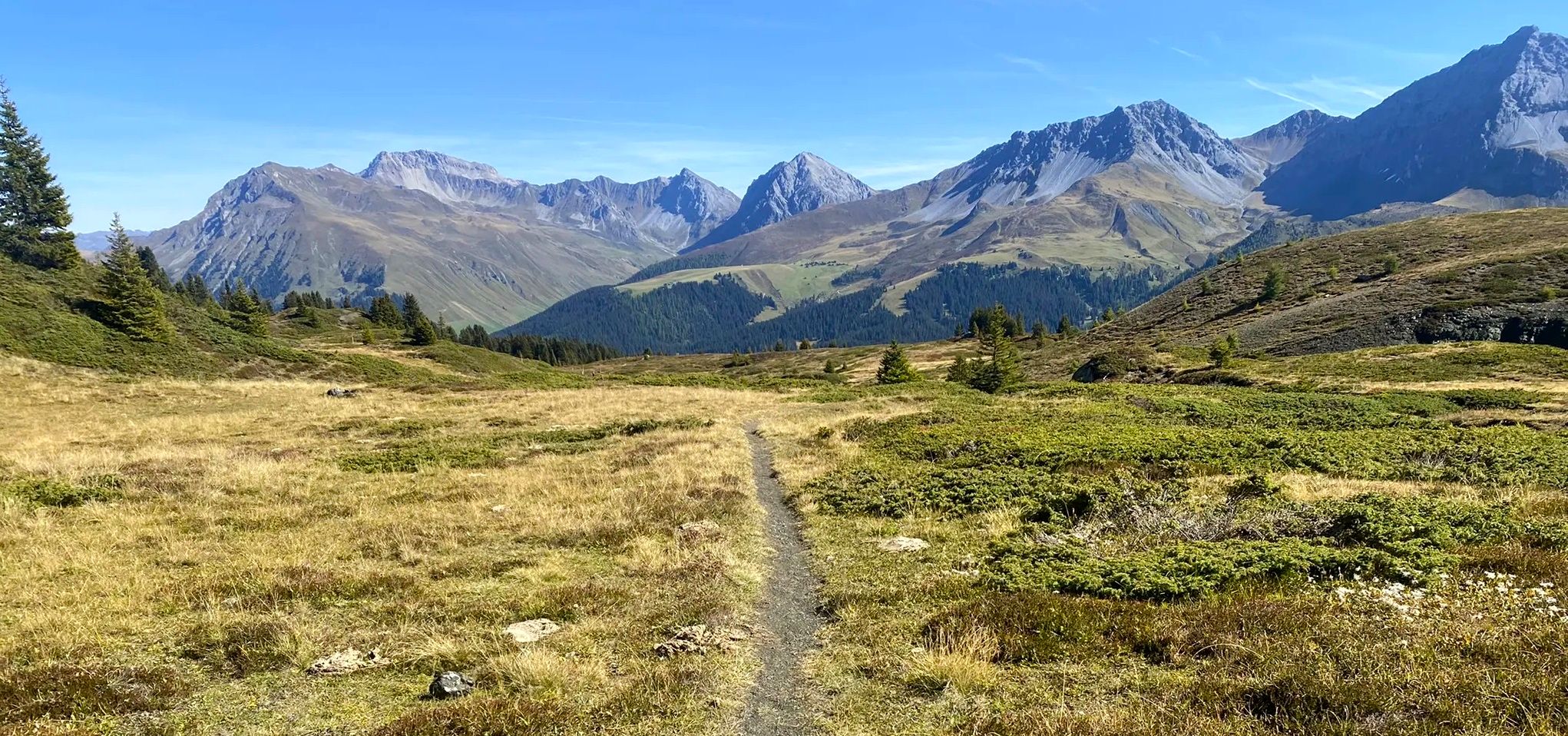
Explore an entire valley on foot - Schanfigger Höhenweg

On ancient paths towards Santiago — the Way of St. James Graubünden
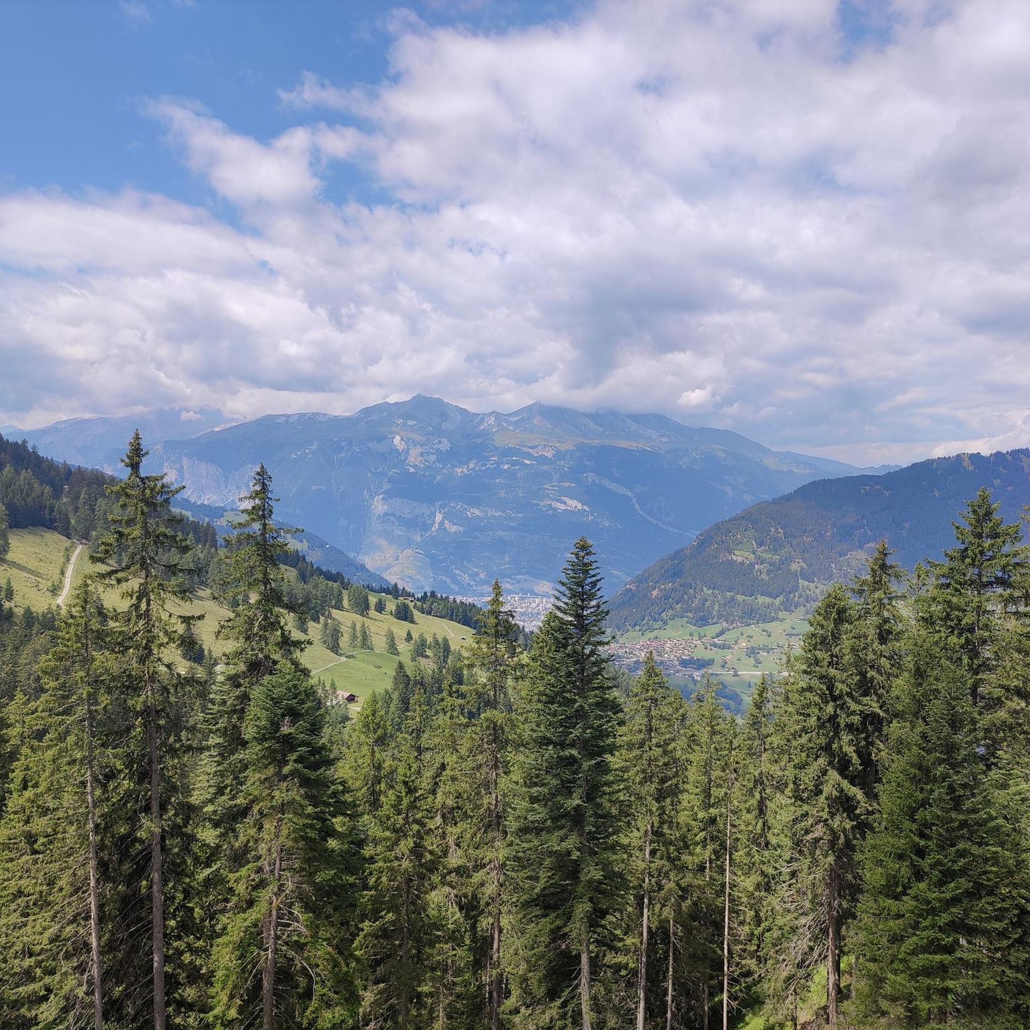
MTB Trails around Tschiertschen
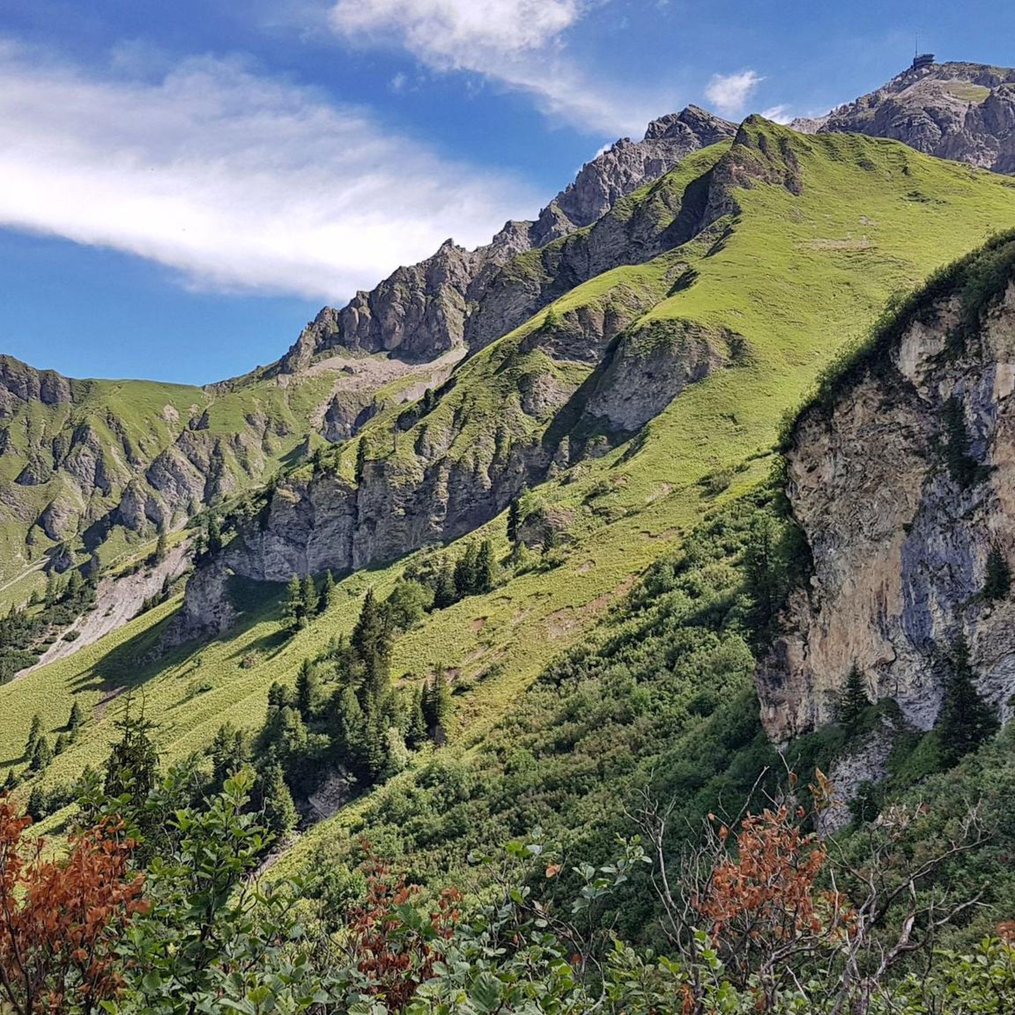
Cycling around Tschiertschen
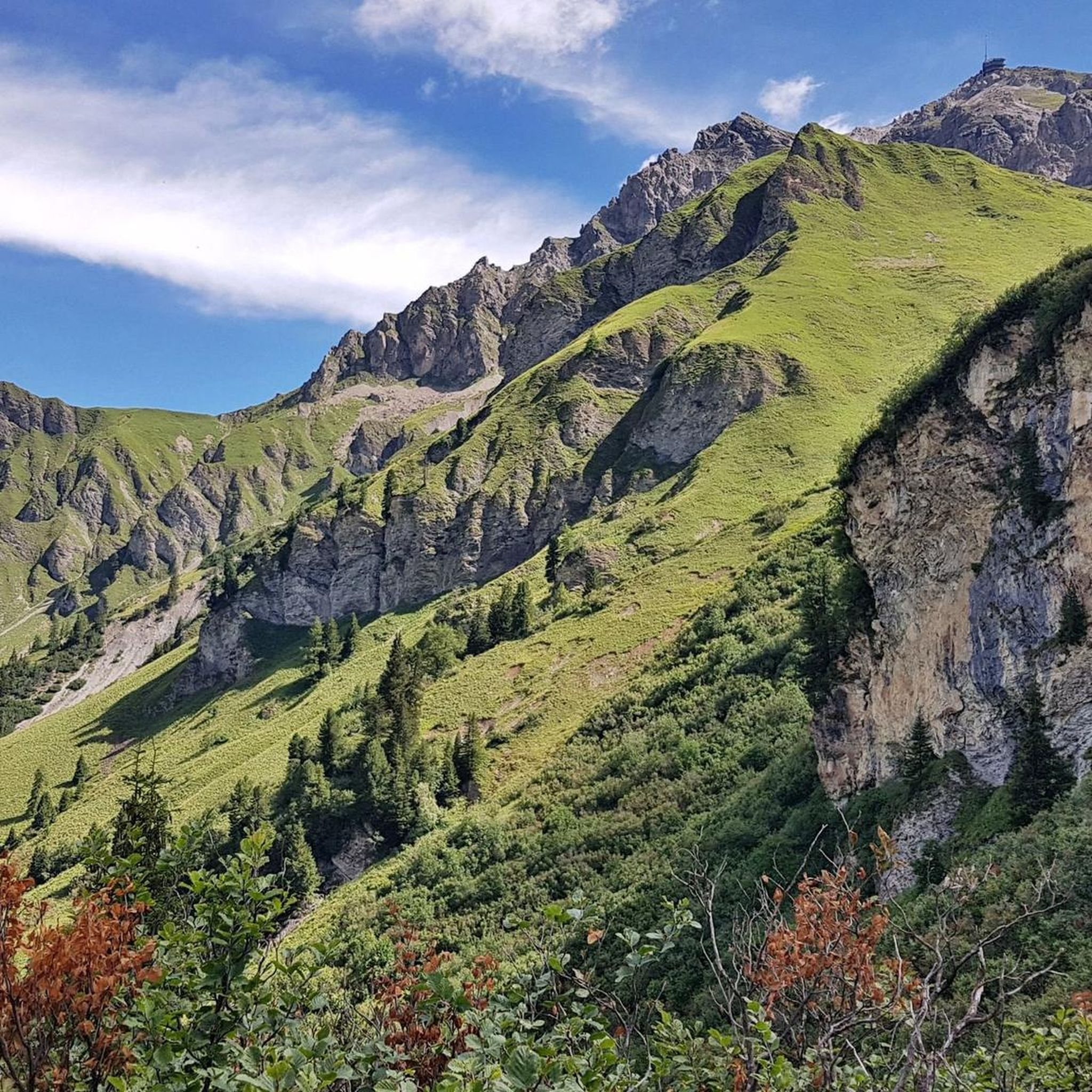
Road Cycling Routes around Tschiertschen
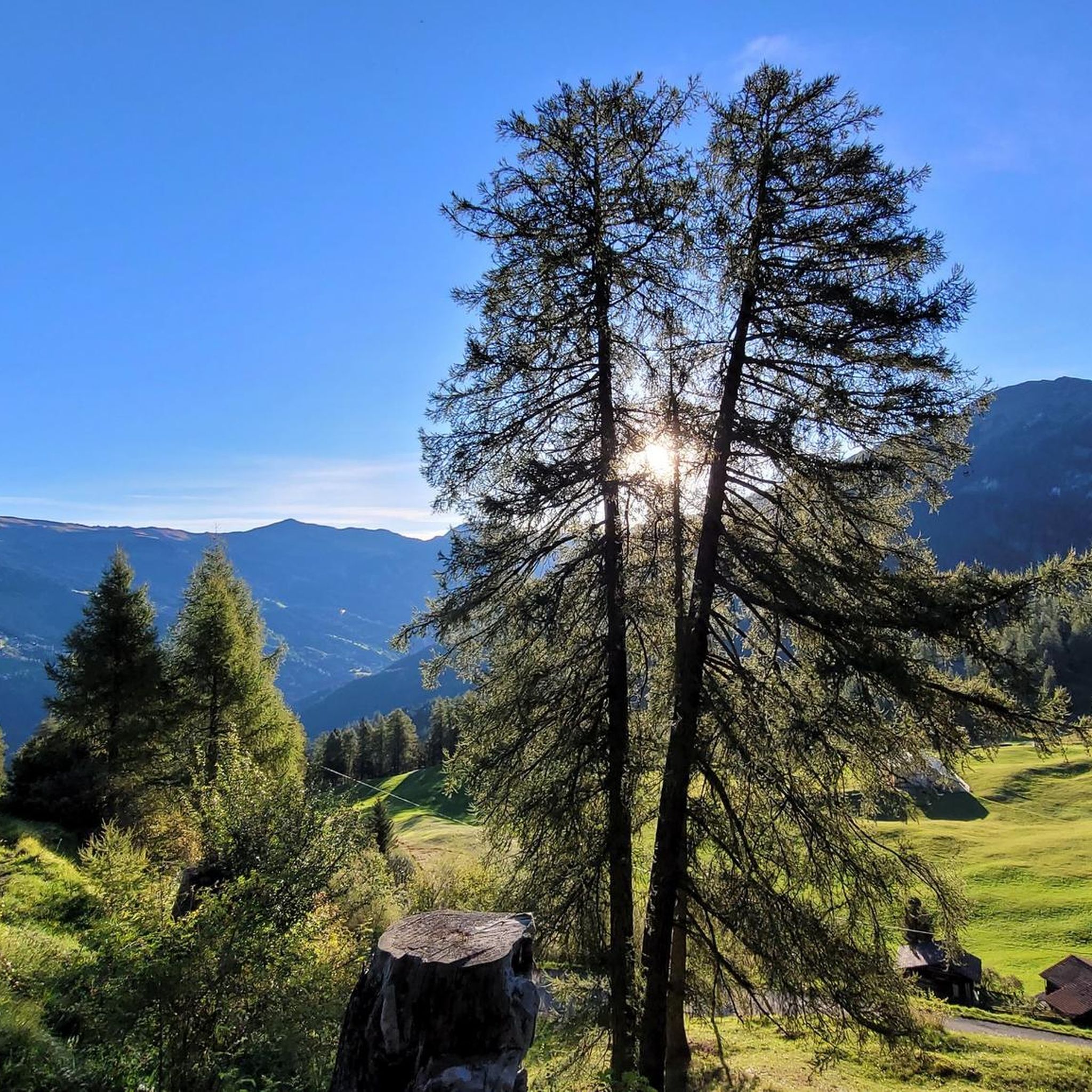
Hiking around Tschiertschen
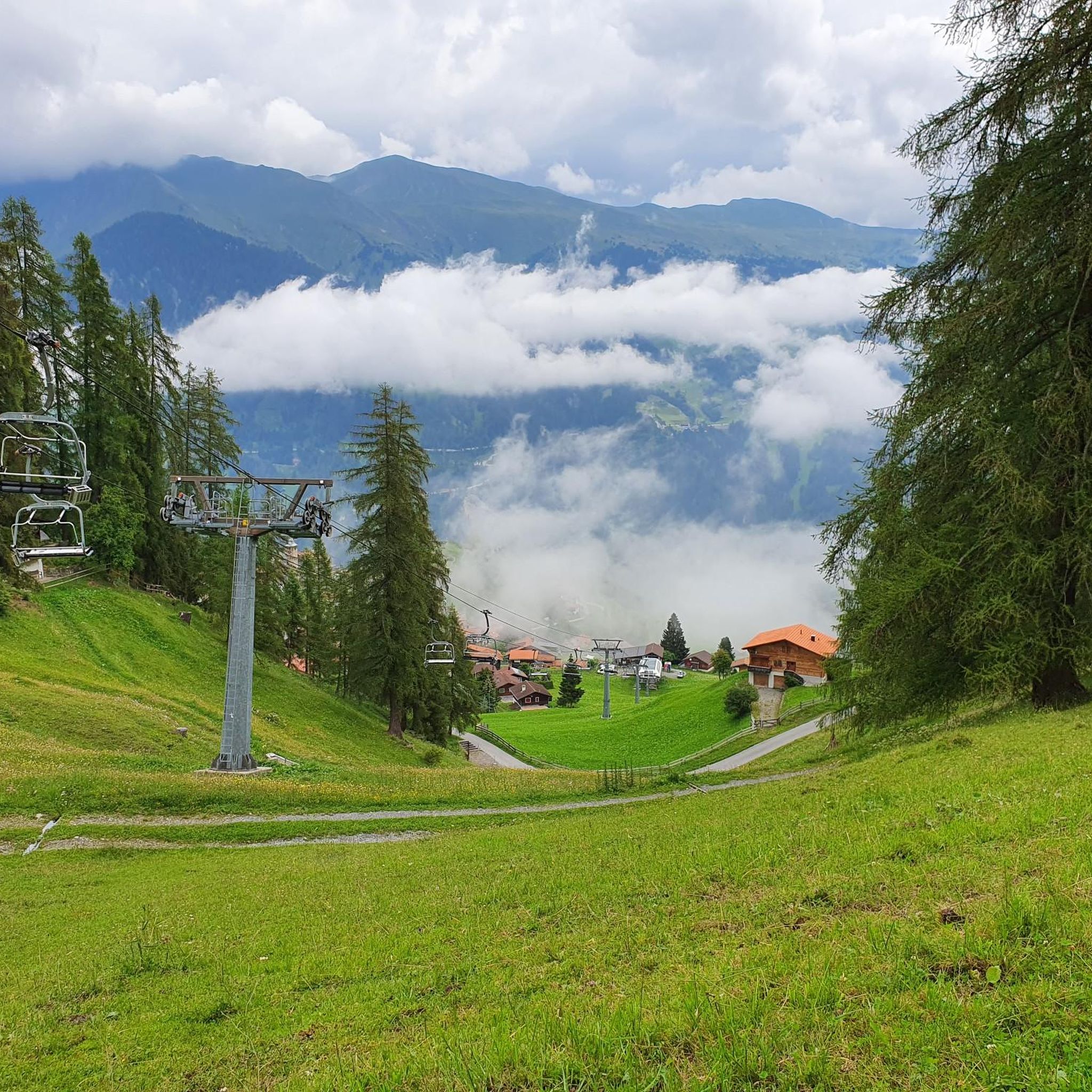
Running Trails around Tschiertschen
Other adventures around Tschiertschen


Tips from the Community


The village of Lantsch/Lenz, with 500 inhabitants, is simply idyllically beautiful. The burial church of St. Maria is built in the late Gothic style and dates from the ninth century. Furthermore, you will find here the house of the parents-in-law of Hans Ardüser, one of the most famous painters of the 16th century.
0
0

Coming from Tamins, the ascent is very steep, mostly 15-17%. Easily doable with an MTB or e-bike. With a touring bike or road bike, the fun factor is low due to the gradient, despite beautiful views. The road is technically easy, mostly paved, but some sections are also gravel, which is why narrow tires are also unsuitable. Coming from Vattis, the pass is easier, but steep at the end! Going down to Tamins, very good brakes are recommended, especially if you are riding with luggage.
0
0

We expected this to be a covered wooden bridge and were looking forward to sheltering from the rain in it, but alas, this modern wooden bridge does NOT provide cover from rain.
0
0

Winter hiking with a gigantic panoramic view
0
0

There's no car traffic on this road. There's still an incline.
0
0

Brilliant training ground for the biathletes
0
0
Very beautiful and well-kept village center.
0
0
Frequently Asked Questions
How many gravel bike trails are available around Tschiertschen?
There are over 45 gravel bike trails around Tschiertschen, offering a wide range of options for different skill levels. This includes 2 easy, 15 moderate, and 28 difficult routes.
Are there any beginner-friendly gravel bike trails in Tschiertschen?
While many routes in the Tschiertschen area feature significant elevation changes, there are a few options suitable for beginners. For example, the Lenzerheide – Easy forest trail loop from Vaz/Obervaz is a moderate route that offers a gentler introduction to gravel biking in the region.
What are some challenging gravel bike routes near Tschiertschen?
For experienced riders seeking a challenge, the region offers several difficult routes. The Kunkelsstrasse – Kunkel Pass loop from Chur is a demanding 37.6-mile trail with significant elevation gain. Another challenging option is the Ochsenalp Mountain Hut – Iselsee (Arosa Reservoir) loop from Arosa, which is 19.9 miles long and features steep climbs and descents.
Can I find circular gravel bike routes in the Tschiertschen area?
Yes, many of the gravel bike routes around Tschiertschen are designed as loops, allowing you to start and finish at the same point. Examples include the popular Kunkelsstrasse – Kunkel Pass loop from Chur and the scenic Rot Tritt viewpoint – Obersee loop from Weisshorn.
What scenic viewpoints or attractions can I discover along the gravel bike trails?
The gravel bike trails around Tschiertschen often lead to breathtaking viewpoints and notable attractions. You might pass by the Parpaner Rothorn Summit, the historic Dreibündenstein Monument, or the impressive Weisshorn Summit. The Ochsenalp Mountain Hut is also a popular stop on some routes.
What do other gravel bikers enjoy the most about gravel biking in Tschiertschen?
The area is highly rated by the komoot community, with an average score of 4.3 stars from over 80 reviews. Riders frequently praise the diverse mountainous terrain, the stunning alpine lakes, and the challenging yet rewarding climbs through river valleys and forested sections.
Is gravel biking possible in Tschiertschen during winter?
Due to its high alpine location, many gravel bike trails around Tschiertschen become impassable or very challenging in winter due to snow and ice. Lower elevation routes or those that are regularly cleared might be an option, but it's crucial to check local conditions and weather forecasts before heading out.
What is the best time of year for gravel biking in Tschiertschen?
The best time for gravel biking in Tschiertschen is typically from late spring (May/June) through early autumn (September/October). During these months, the weather is generally more stable, and most high-altitude trails are free of snow, offering optimal conditions and stunning views.
Are there opportunities for cafe stops or refreshments along the gravel bike routes?
Yes, several routes, especially those passing through or near villages like Arosa or Chur, or by mountain huts like the Ochsenalp Mountain Hut, offer opportunities for refreshments. It's always a good idea to plan your route and check for available services beforehand, especially on longer or more remote trails.
How can I reach the gravel bike trails around Tschiertschen using public transport?
Tschiertschen and nearby towns like Chur and Arosa are well-connected by public transport in Switzerland, primarily by train and post bus services. You can often reach starting points of gravel bike trails by taking a train to Chur and then a connecting bus to Tschiertschen or other trailheads. Check the SBB (Swiss Federal Railways) website for detailed schedules and connections.
Where can I find parking for gravel biking near Tschiertschen?
Parking is generally available in Tschiertschen village and in nearby larger towns like Chur and Arosa, which serve as common starting points for many gravel bike routes. Look for designated public parking areas, often near train stations or village centers. Some trailheads might also have limited parking facilities.
Most popular routes around Tschiertschen
Most popular attractions around Tschiertschen

Get inspired with the komoot mobile app


Explore more
Browse the best Gravel rides in other regions.
