The best gravel rides around Obersaxen
4.6
(65)
584
riders
30
rides
Gravel biking around Obersaxen offers routes through mountainous terrain characterized by expansive alpine meadows, dense forests, and picturesque river valleys. The region features varied elevations, providing both challenging climbs and more gradual paths suitable for gravel bikes. This landscape includes a mix of paved and unpaved surfaces, typical for exploring the Swiss Alps. Riders can experience significant elevation gains and panoramic vistas of areas like the Rhine Gorge and the Val Lumnezia.
Best gravel bike trails around Obersaxen
- The most…
Last updated: October 5, 2026
3.3
(3)
13
riders
9.26km
00:53
240m
240m
Moderate gravel ride. Good fitness required. Mostly paved surfaces. Suitable for all skill levels.
4.9
(14)
91
riders
38.1km
03:43
1,420m
1,420m
Hard gravel ride. Very good fitness required. Mostly paved surfaces. Suitable for all skill levels.

4.5
(2)
43
riders
51.9km
04:12
1,470m
1,470m
Hard gravel ride. Very good fitness required. Mostly paved surfaces. Suitable for all skill levels.
4.3
(3)
18
riders
61.7km
03:43
710m
710m
Hard gravel ride. Very good fitness required. Mostly paved surfaces. Suitable for all skill levels.
5.0
(4)
36
riders
95.3km
06:11
1,790m
1,790m
Hard gravel ride. Very good fitness required. Mostly paved surfaces. Suitable for all skill levels.
Get access to more routes and recommendations from other explorers.
Already have an account?
Our route recommendations are based on thousands of hikes, rides, and runs completed by other people on komoot.
Start today with a free account
Your next adventure awaits.
Popular around Obersaxen

Winter Magic in the Surselva – peace, space and pure nature
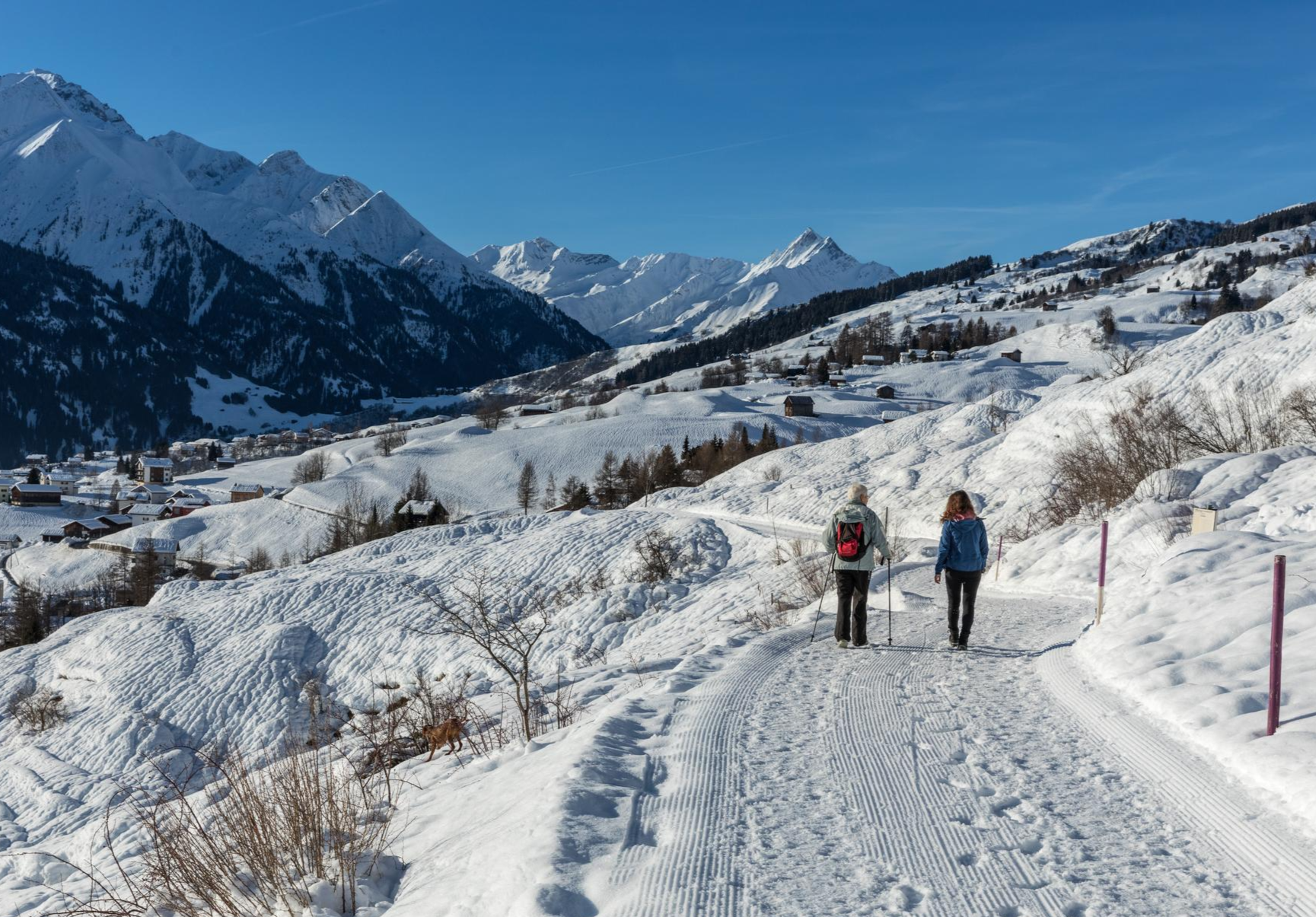
A winter mountain paradise – discover the Surselva
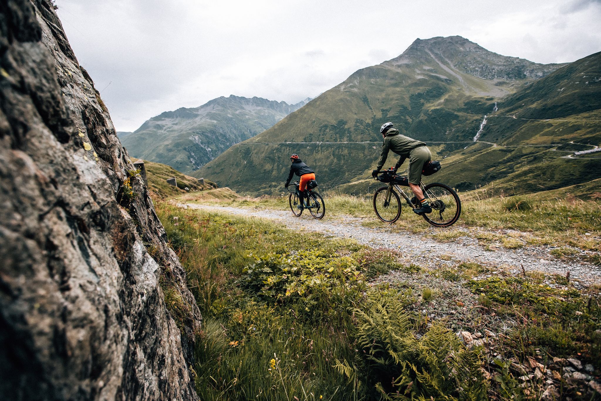
Trans Grischun – cross Graubünden on a gravel bike
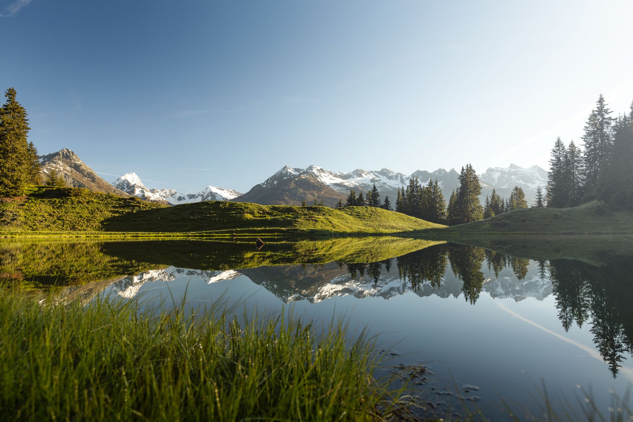
Tiefblau und unberührt – Wanderungen zu den Bergseen der Surselva
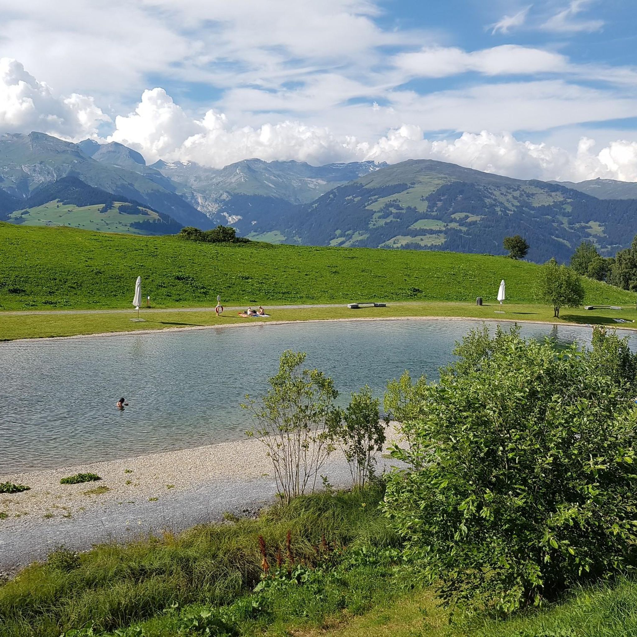
MTB Trails around Obersaxen
Hiking around Obersaxen
Cycling around Obersaxen
Road Cycling Routes around Obersaxen
Running Trails around Obersaxen
Mountain Hikes around Obersaxen
Other adventures around Obersaxen


Tips from the Community

here there is a refrigerator with drinks and dairy products in the summer
0
0

The Lag da Breil, or Brigelsersee in German, lies at around 1,255 m above sea level, directly above Brigels. The lake, approximately 500 meters long and up to 140 meters wide, was created as a reservoir in 1946 and is used for energy production. The lake is fed and drained by the Flem river. Despite its function as a reservoir, the Lag da Breil appears very idyllic and blends beautifully into the landscape around Brigels. A pleasant walking path leads all the way around the lake. Important: Swimming is not allowed in the reservoir.
0
0
Brigels, in Romansh Breil, lies on a sunny terrace at around 1,300 m above sea level and, with its old houses around the parish church, has certainly retained its original village character. However, I also noticed today that Brigels is significantly more tourist-oriented than I had expected. Numerous holiday apartments, hotels, and tourist facilities are located around the village. As a result, the place sometimes seems less quiet and original than one might expect from a mountain village. Nevertheless, Brigels is beautifully situated in terms of landscape and offers a good starting point for hikes in the Surselva.
0
0

Wonderful gravel section, almost entirely in the forest and very quiet. Nevertheless, easy to ride as there are hardly any climbs.
0
0
The Vorderrhein, as a young Rhine, is still a wild, impetuous mountain stream here and has the color of glacial water. Beautiful!
0
0
A really beautiful pass! And also for hiking from the pass summit: many possibilities.
0
0

The rest of the "Old Town" doesn't need to be seen as it has too many architectural sins.
0
0

The Upper Gate provides access to and from the old town of Ilanz. It was built in the Middle Ages and was one of four gates providing access to the town. Today, two of these city gates still exist: the beautifully painted Upper Gate and the more modest Red Gate.
0
1
Frequently Asked Questions
Are there gravel bike routes suitable for beginners or families in Obersaxen?
While many routes in Obersaxen are rated difficult due to significant elevation changes, there are a few moderate options. For a less strenuous ride, consider the Brigels Bella Vista route. It's a 5.8-mile (9.3 km) trail with moderate climbs, offering scenic views without the extreme challenges of longer tours. For families, it's always best to assess the specific route's elevation profile and surface conditions.
What is the typical length and duration of gravel bike routes in Obersaxen?
Gravel bike routes in Obersaxen vary significantly. You'll find shorter, moderate trails like the Brigels Bella Vista, which is about 5.8 miles (9.3 km) and takes under an hour. However, many routes are much longer and more challenging, such as the Lukmanier Pass summit – Lukmanier Pass loop from Rueun, spanning over 58 miles (94 km) and requiring several hours to complete.
What kind of terrain can I expect on Obersaxen's gravel bike trails?
Obersaxen's gravel bike trails are characterized by varied alpine terrain. You'll encounter a mix of paved and unpaved surfaces, including gravel roads, forest paths, and some singletrack sections. The region features significant elevation changes, with routes traversing alpine meadows, dense forests, and river valleys, offering both challenging climbs and rewarding descents.
Are there any circular gravel bike routes in Obersaxen?
Yes, Obersaxen offers several excellent circular gravel bike routes. Popular options include the difficult Cuolm Sura – View of the Rhine Gorge loop from Surcuolm, which provides panoramic vistas, and the Rheinschwelle – Rein Anteriur loop from Waltensburg/Vuorz, leading through river valleys and forested areas.
What are some scenic viewpoints or natural attractions along the gravel routes?
Many routes in Obersaxen offer breathtaking views of the Swiss Alps and the Rhine Gorge. For specific natural highlights, you might encounter mountain passes like Puoz da Grun or Tamina 1268 m. The region's diverse landscape ensures plenty of opportunities for stunning vistas.
Are there historical sites or castles to explore near the gravel bike trails?
Yes, the Obersaxen area is rich in history. You can find several castle ruins that make for interesting stops. Notable examples include the Kropfenstein Castle Ruins (Casti Grotta) and the Jörgenberg Castle Ruins. These sites offer a glimpse into the region's past and can be incorporated into your gravel biking adventures.
What is the best time of year for gravel biking in Obersaxen?
The best time for gravel biking in Obersaxen is typically from late spring through early autumn (May to October). During these months, the weather is generally more stable, and most trails are free of snow. Summer offers warmer temperatures and longer daylight hours, while early autumn provides vibrant foliage and cooler riding conditions.
What do other gravel bikers enjoy most about Obersaxen?
The komoot community highly rates gravel biking in Obersaxen, with an average score of 4.8 stars from over 40 reviews. Riders often praise the challenging climbs, the diverse terrain, and the stunning panoramic views of the alpine landscape and the Rhine Gorge. The variety of routes, from moderate to difficult, also contributes to its popularity.
Are there any routes that offer views of the Rhine Gorge?
Absolutely. The Cuolm Sura – View of the Rhine Gorge loop from Surcuolm is specifically highlighted for its panoramic vistas of the Rhine Gorge. This difficult route provides an immersive experience of this impressive natural landmark.
How many gravel bike routes are available in the Obersaxen region?
There are over 30 gravel bike routes available in the Obersaxen region on komoot. These routes cater to various skill levels, though the majority are rated as difficult, offering significant challenges and rewards for experienced riders.
Are there any long-distance gravel bike tours in Obersaxen?
Yes, Obersaxen offers several long-distance gravel bike tours for endurance riders. For example, the Lukmanier Pass summit – Lukmanier Pass loop from Rueun is a demanding route covering over 58 miles (94 km) with substantial elevation gain, making it suitable for a full day's adventure.
Most popular routes around Obersaxen
Most popular attractions around Obersaxen

Get inspired with the komoot mobile app


Explore more
Browse the best Gravel rides in other regions.
