The best gravel rides around Airolo
5.0
(5)
253
riders
5
rides
Gravel biking around Airolo is set within the Swiss Alps, at the base of the Gotthard Pass, offering a diverse landscape for riders. The region features high peaks, lush forests, and green valleys, alongside alpine lakes such as Lago Ritóm and Lago di Lucendro. Riders can explore challenging alpine passes, historic routes like the Tremola road, and the varied terrain of the Leventina and Val Bedretto valleys. This environment provides a mix of demanding climbs and scenic paths suitable for gravel cycling.
Best gravel bike trails around Airolo
- The most popular gravel bike trail is Gotthard, Furka and Nufenen Passes, a 66.5 miles (107.0 km) trail that takes 9 hours 31 minutes to complete. This difficult route traverses multiple iconic alpine passes, offering extensive climbs and panoramic views.
- Another top favourite among local gravel bikers is Alpi Bedretto Gravel Tour, a difficult 13.3 miles (21.5 km) path. This route leads through the alpine landscape of the Val Bedretto, known for its challenging terrain and scenic beauty.
- Local gravel bikers also love the View of the Lucendro Dam – Lake Lucendro loop from Passo del San Gottardo, a 3.7 miles (6.0 km) trail leading through alpine lake scenery, often completed in about 35 minutes.
- Gravel biking around Airolo is defined by high alpine passes, serene valleys, and historic routes. The network offers options for different ability levels, from easier loops around lakes to demanding multi-pass challenges.
- The routes in Airolo are highly rated by the komoot community with an average score of 5.0 stars from 5 reviews. More than 200 gravel bikers have used komoot to explore Airolo's varied terrain.
Last updated: August 12, 2026
5.0
(5)
222
riders
107km
09:31
3,140m
3,140m
Hard gravel ride. Very good fitness required. Mostly paved surfaces. Suitable for all skill levels.
5
riders
21.5km
02:17
700m
700m
Hard gravel ride. Very good fitness required. Mostly paved surfaces. Suitable for all skill levels.

Sign up for free
17
riders
153km
12:18
3,420m
3,420m
Hard gravel ride. Very good fitness required. Mostly paved surfaces. Suitable for all skill levels.
2
riders
5.96km
00:31
120m
120m
Easy gravel ride. Great for any fitness level. Mostly paved surfaces. Suitable for all skill levels.
7
riders
10.7km
00:41
200m
200m
Moderate gravel ride. Good fitness required. Mostly paved surfaces. Suitable for all skill levels.
Our route recommendations are based on thousands of hikes, rides, and runs completed by other people on komoot.
Start today with a free account
Your next adventure awaits.
Login or Signup
Popular around Airolo
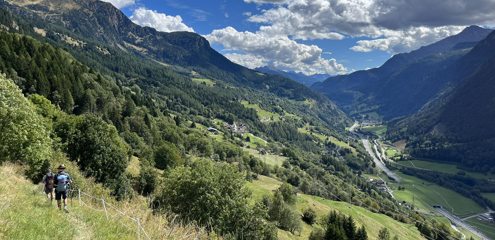
Strada alta – Hiking in the sun terrace of Switzerland
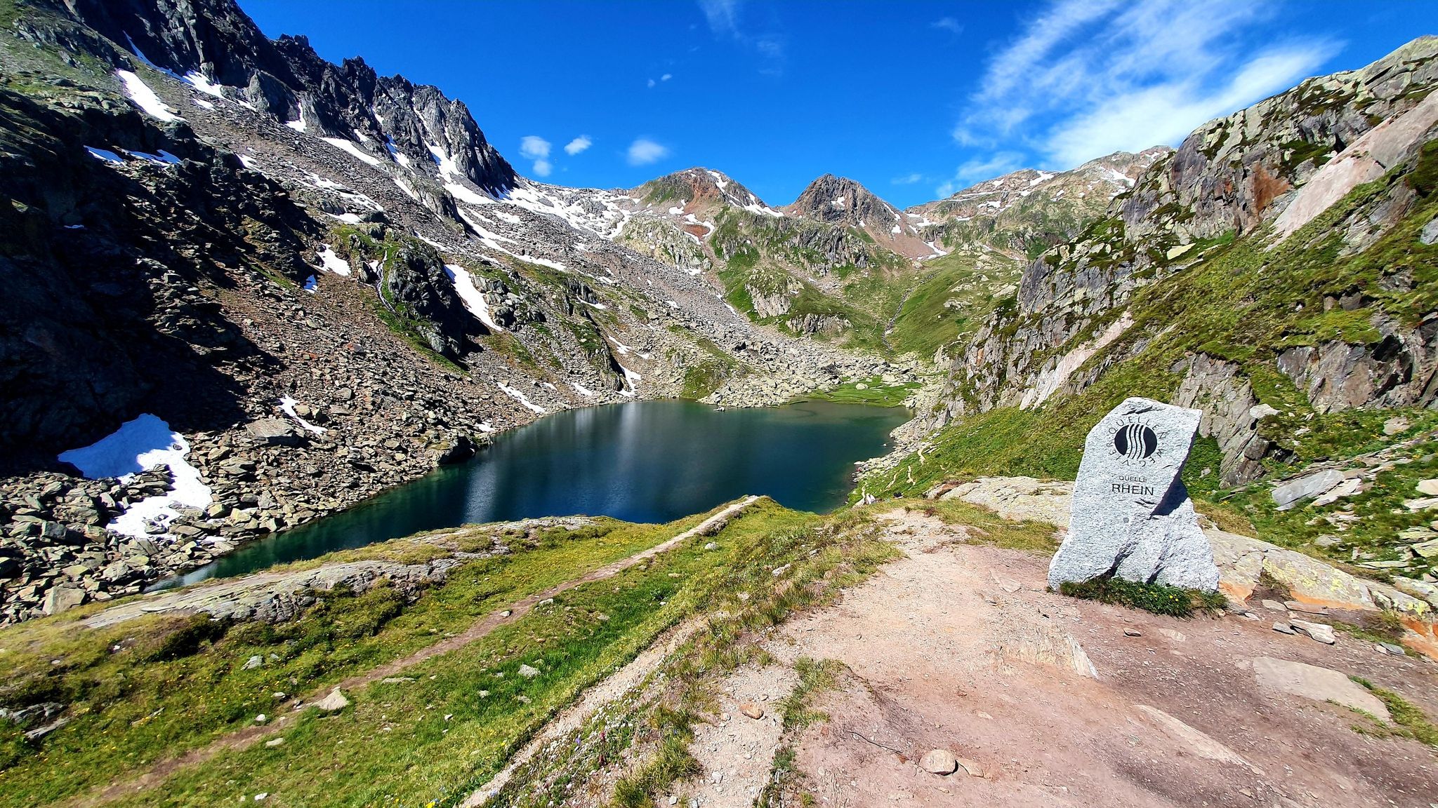
Four Springs Trail — Find flow in Switzerland's Gotthard Massif

Alpine Passes Trail in Switzerland – 34 stages of pure mountain fun

Trans Swiss Trail – Hiking across Switzerland

Via Gottardo – Following historic trails
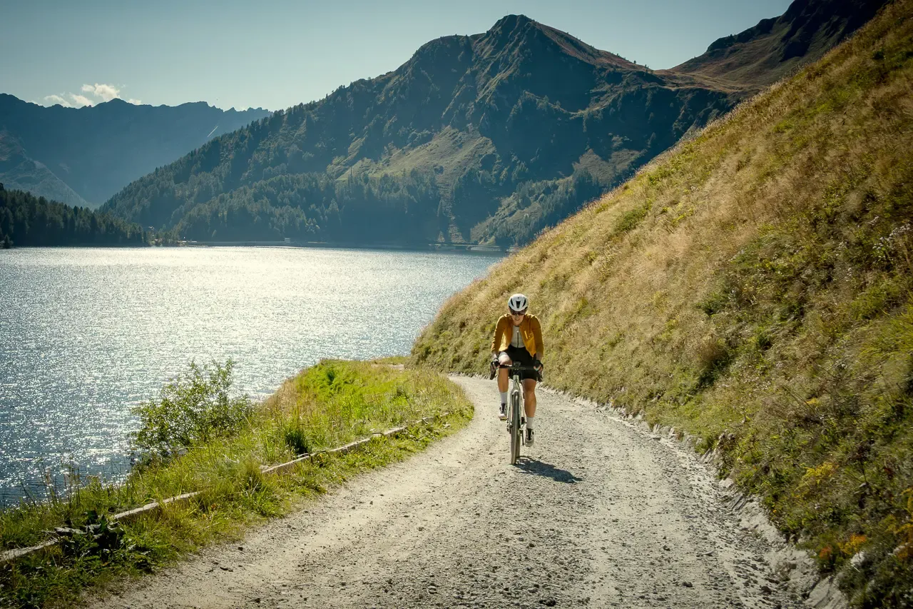
Ticino hut-to-hut: a 3-day alpine gravel escape
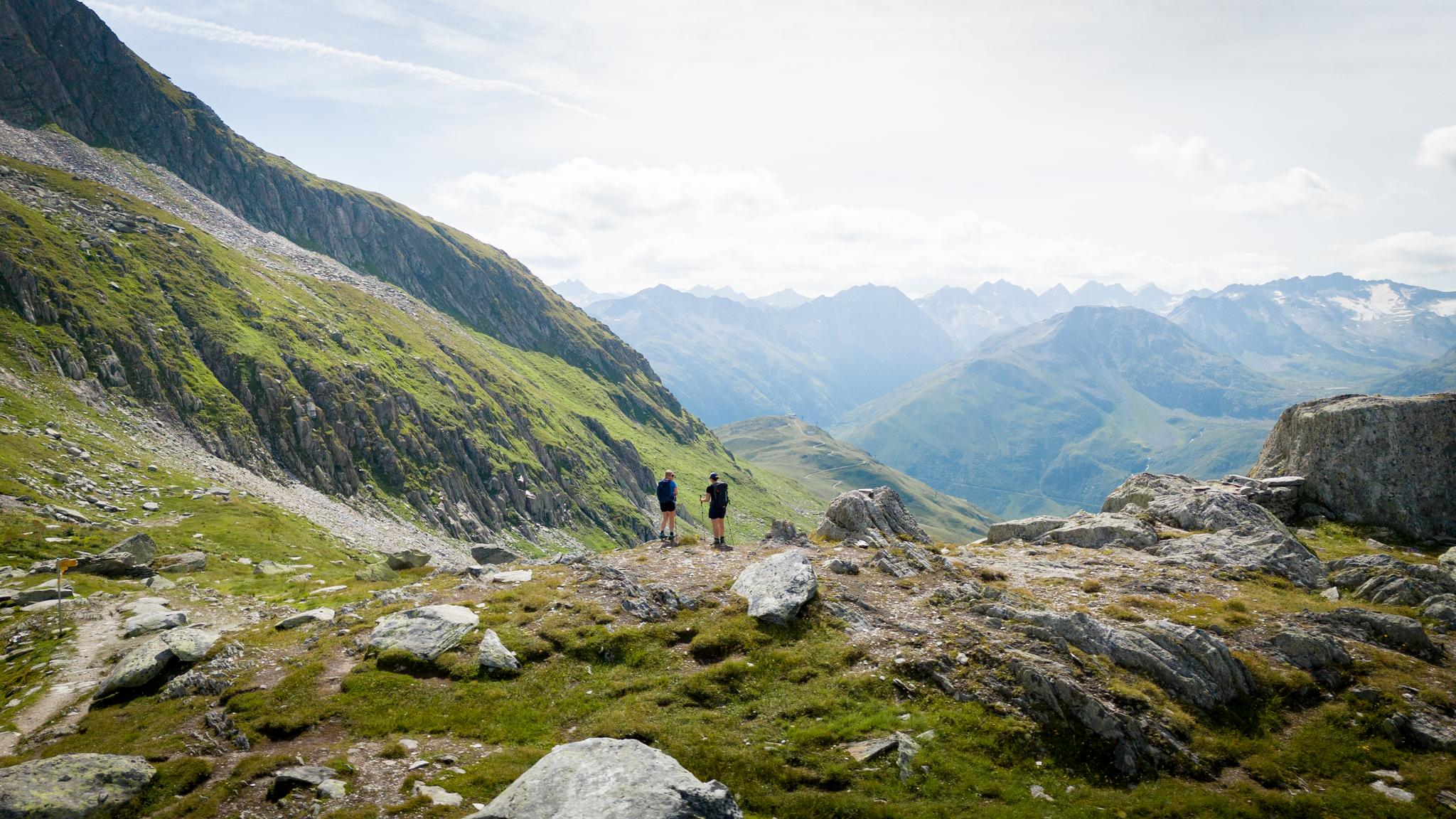
On the hunt for crystals and alpine lake magic – Gotthard Crystal Trek
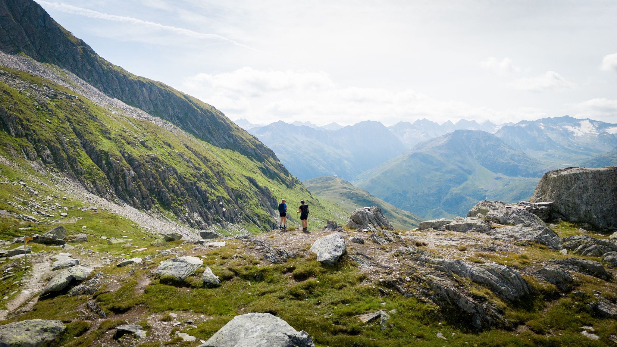
On the hunt for crystals and alpine lake magic – Gotthard Crystal Trek
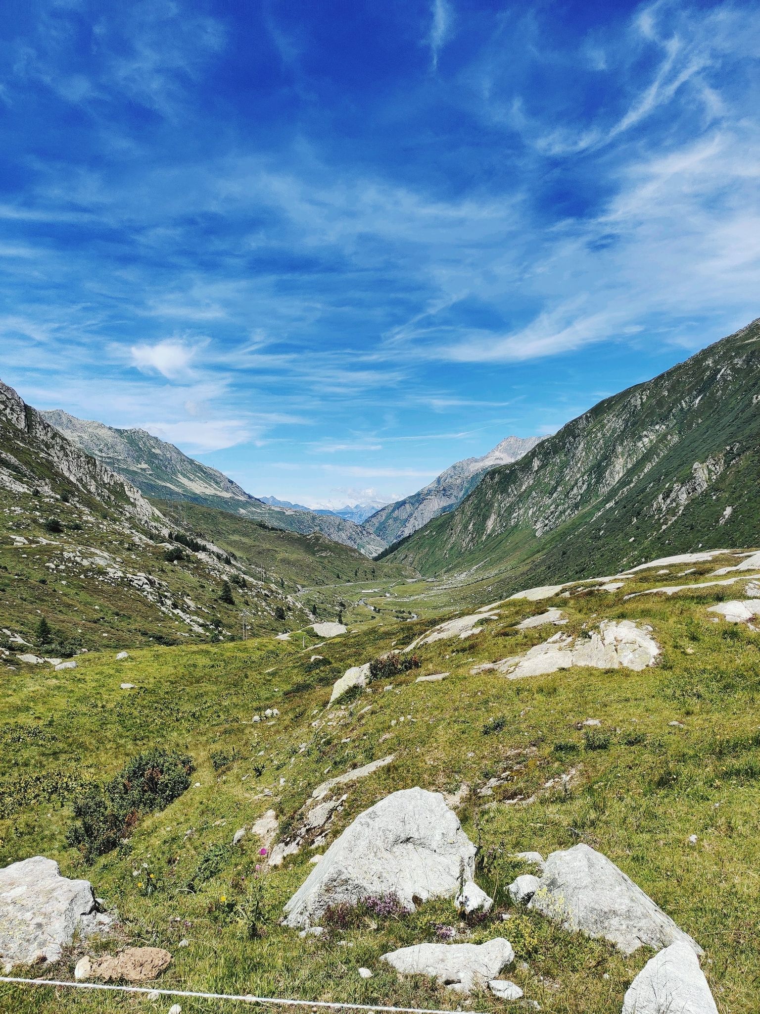
A legendary crossing of the Alps – Gottardo Bike Route
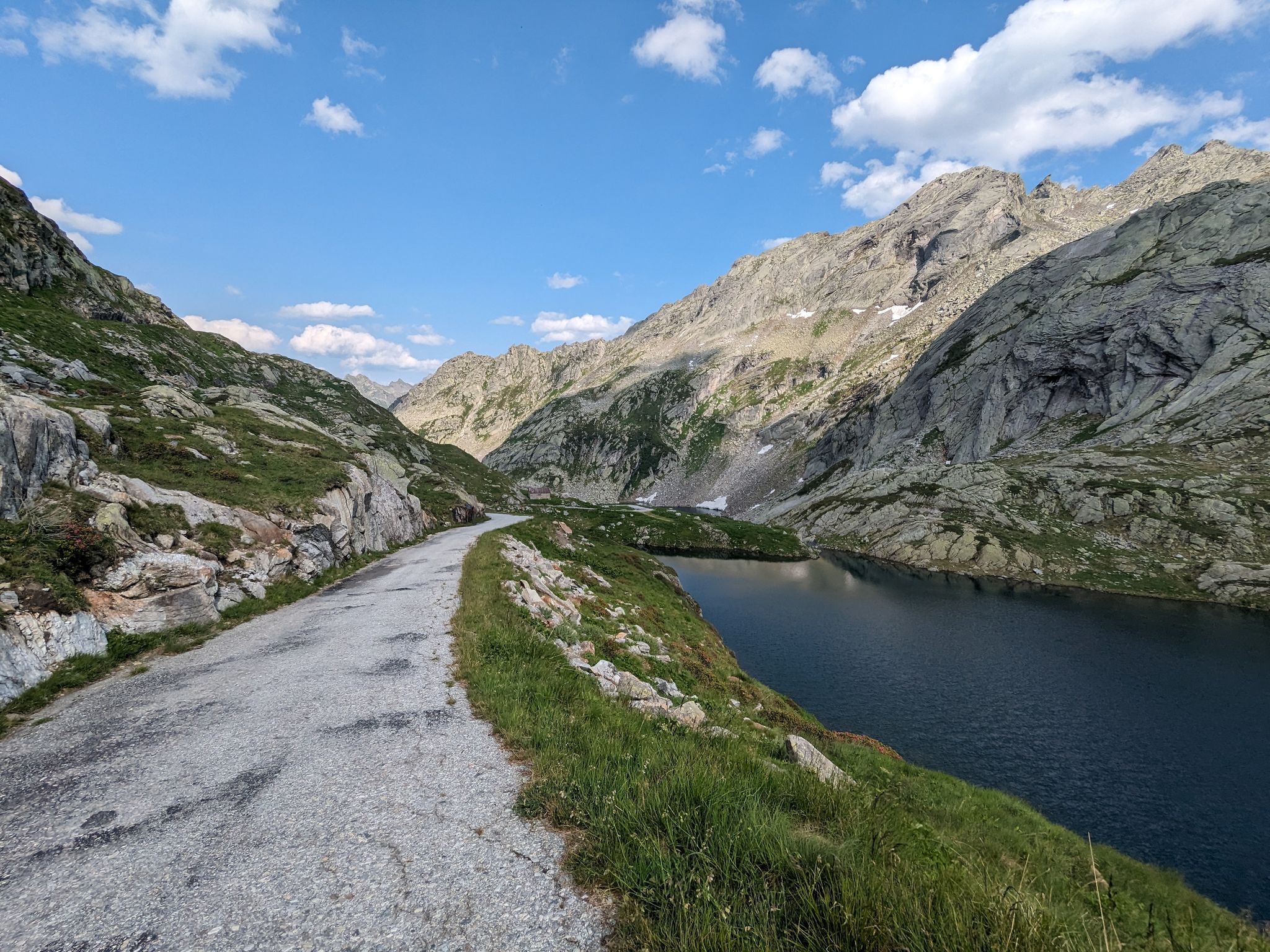
Great passes and green valleys – Ticino climbs
Other adventures around Airolo


Tips from the Community

A really beautiful pass! And also for hiking from the pass summit: many possibilities.
0
0

The Gotthard Pass is one of Switzerland's most famous and historic alpine passes. Located at an altitude of 2,106 meters above sea level in the Lepontine Alps, it connects Central Europe to Southern Europe. Specifically, it serves as a direct road link between the canton of Ticino (Airolo) and the canton of Uri (Hospental). The summit and massif can be crossed in several ways depending on travel needs: The New Pass Road: It is the modern and asphalted road variant, scenic and smooth during the summer months. The Tremola: The famous historic southern slope, characterized by 24 hairpin bends paved with porphyry, much loved by cyclists, motorcyclists, and nostalgics. The Road Tunnel (A2): The 16.9 km long motorway tunnel, open all year round, fast but often subject to traffic and queues. The Railway Tunnels: Including the pioneering tunnel from 1882 and the modern Gotthard Base Tunnel, at very high speed.
0
0

On the Molly Trail, big and small explorers discover Molly's favorite places. Along the way, you'll also find fantastic nature and many beautiful resting spots.
0
0


At Caseificio del Gottardo, you can learn about the production of its famous and popular cheeses and buy not only fine cheese but also other Ticinese delicacies. There are guided tours of the dairy and a restaurant. More information about the dairy in general can be found here: https://www.caseificiodelgottardo.ch/Willkommen If you have time and inclination, you can also make your own cheese by appointment. This will be sent to your home in Switzerland after a ripening period of three to four months. You can also make fresh butter and even take it with you immediately. More information about this offer can be found here: https://www.caseificiodelgottardo.ch/DE/Die-Casata-in-der-Kserei-Gottardo-ein-besonderes-Erlebnis-der-Kseherstellung-01c7a100.
0
0

The Furka Pass is a 2,429 m high Swiss road pass in the Alps. It connects the Urseren Valley (the upper valley of the Reuss River) in the canton of Uri with the Goms district in the canton of Valais. It straddles the European watershed between the Mediterranean Sea and the North Sea. Source: Furka Pass – Wikipedia https://share.google/zJGI3KsPRtARfpYje
6
0

St. Gotthard Pass The Gotthard Pass divides waterways and connects various cultural and linguistic areas. Its significance as an "Alpine transversal" began at the beginning of the 13th century with the construction of the legendary Devil's Bridge in the Schöllenen Gorge. For many centuries, trade caravans (trading cattle and cheese for grain, wine, rice, and salt), mercenaries, messengers, and even entire armies crossed the pass. Between 1818 and 1836, the canton of Uri, with the help of other cantons, expanded the pass road, thus achieving its predominance among Swiss Alpine passes. The Gotthard Pass has significantly shaped the economy and culture of Central Switzerland for centuries. Until the opening of the Gotthard Railway in 1882, the Gotthard Pass was also used in winter. Dozens of roadmen and shovel workers were employed for this purpose. In 1922, the post bus replaced the stagecoach, and with the introduction of gasoline duties in 1923, the expansion of the pass roads began, continuing to this day. The old pass road on the south side, the Tremola between the top of the pass and Airolo, is still preserved and passable. This stretch of road recalls more tranquil journeys over the Gotthard that occurred not so long ago. In the 19th and 20th centuries, the Gotthard Pass was "condensed" into a myth, a symbol of Switzerland's independence, unity, and identity. Text / Source: Interest Group for Alpine Passes IAP, PO Box 11, 6491 Realp https://alpen-paesse.ch/de/alpenpaesse/gotthardpass
15
1

Starting point for cycling and hiking tours with seating, bicycle service station and sculpture "Ursern - The Valley of the Three Passes".
0
0
Frequently Asked Questions
What kind of terrain can I expect on gravel bike trails around Airolo?
Gravel biking around Airolo offers a diverse mix of terrain. You'll encounter challenging alpine passes like the Gotthard, Furka, and Nufenen, alongside serene green valleys such as Leventina and Val Bedretto. The region also features historic routes, including the iconic cobbled Tremola road and paths through the impressive Gola di Monte Piottino gorge. Expect significant elevation gains on many routes, providing a true alpine gravel experience.
Are there any easy gravel bike routes suitable for beginners or families in Airolo?
Yes, while many routes in Airolo are challenging, there are options for easier rides. For instance, the View of the Lucendro Dam – Lake Lucendro loop from Passo del San Gottardo is an easy 6 km trail that takes about 35 minutes, offering scenic views around an alpine lake. This route is a good choice for those looking for a less strenuous experience.
What are some of the most challenging gravel bike routes in the Airolo region?
Airolo is known for its demanding alpine gravel routes. Among the most challenging are multi-pass rides that combine several iconic passes. The Gotthard, Furka and Nufenen Passes tour is a difficult 107 km route with extensive climbs. Another formidable option is the Oberalp, Lukmanier and Gotthard Passes - Alpine passes round tour from Andermatt, which spans over 150 km and features significant elevation.
Can I find circular gravel bike routes around Airolo?
Yes, many of the gravel bike routes in Airolo are designed as loops, allowing you to start and end in the same location. For example, the View of the Lucendro Dam – Lake Lucendro loop from Passo del San Gottardo is a short, easy circular trail. For a more extensive challenge, the Oberalp, Lukmanier and Gotthard Passes - Alpine passes round tour from Andermatt also forms a large loop through the alpine passes.
What natural attractions or landmarks can I see along the gravel bike trails near Airolo?
The Airolo region is rich in natural beauty and historical landmarks. Along your rides, you might encounter stunning alpine lakes like Lake Lucendro and Lake Oberalp. Other notable sights include the dramatic Schöllen Gorge, the historic Devil's Bridge, and the Guex Monument at Gotthard Pass. The source of the Rhine at Lai da Tuma is also a significant natural monument in the broader area.
What is the best time of year for gravel biking in Airolo?
The best time for gravel biking in Airolo is typically during the warmer months, from late spring to early autumn. This period offers more favorable weather conditions and ensures that high alpine passes are clear of snow. During summer, you can enjoy lush green valleys, blooming meadows, and the chance to spot diverse flora and fauna. Winter conditions can make many high-altitude routes inaccessible or require specialized gear.
How long do gravel bike tours in Airolo typically take?
The duration of gravel bike tours in Airolo varies significantly based on the route's length and difficulty. Shorter, easier loops like the View of the Lucendro Dam – Lake Lucendro loop from Passo del San Gottardo can be completed in about 35 minutes. More challenging routes, such as the Alpi Bedretto Gravel Tour, might take around 2 hours and 17 minutes. Epic multi-pass adventures, like the Gotthard, Furka and Nufenen Passes, can be full-day excursions, requiring over 9 hours to complete.
What do other gravel bikers say about the trails in Airolo?
The gravel biking routes in Airolo are highly regarded by the komoot community, with an average rating of 5.0 stars from 5 reviews. Over 200 gravel bikers have explored the region using komoot, often praising the stunning alpine scenery, the challenge of the high passes, and the unique experience of riding historic routes like the Tremola.
Are there opportunities for bikepacking or multi-day gravel tours from Airolo?
Yes, Airolo serves as an excellent starting point for bikepacking adventures. The region offers multi-day routes, such as journeys from Airolo to Bellinzona, which feature remote, scenic trails and challenging climbs over passes like Gotthard, Passo Scimfuss, and Passo dell'Uomo. These tours provide opportunities to stay in mountain huts and fully immerse yourself in the wild beauty of northern Ticino.
What are the key valleys and passes for gravel biking around Airolo?
Airolo is strategically located at the foot of the Gotthard Pass, which is a central feature for many rides. The Leventina Valley, where Airolo is situated, offers picturesque landscapes, while the adjacent Val Bedretto provides access to challenging alpine terrain, including routes like the Strada degli Alpi. Iconic passes such as Gotthard, Furka, Nufenen, Oberalp, and Lukmanier are frequently incorporated into the region's most memorable gravel tours.
Is there a moderate gravel bike trail available in Airolo?
Yes, for those seeking a balance between an easy ride and a difficult challenge, there is a moderate option. The Heuplangge Valley Trail – Heuplangge Bridge loop from Andermatt is a 10.7 km route that takes approximately 58 minutes to complete, offering a good intermediate experience through the valley.
Most popular attractions around Airolo

Get inspired with the komoot mobile app


Explore more
Browse the best Gravel rides in other regions.
