The best gravel rides around Mühlbach am Hochkönig
4.5
(47)
470
riders
29
rides
Gravel biking around Mühlbach am Hochkönig offers routes through the scenic Hochkönig massif in the Salzburg Alps. The region is characterized by mountain pastures, forested slopes, and views of surrounding peaks and valleys. Trails often follow established paths and forest roads, providing varied terrain for gravel cyclists. The landscape features significant elevation changes, typical of an alpine environment.
Best gravel bike trails around Mühlbach am Hochkönig
- The most popular gravel bike trail is Proneben Alm – View of Hochkönig loop…
Last updated: July 16, 2026
4.7
(3)
13
riders
21.2km
01:57
840m
840m
Hard gravel ride. Very good fitness required. Mostly paved surfaces. Suitable for all skill levels.
4.7
(3)
10
riders
32.9km
02:38
1,010m
1,000m
Hard gravel ride. Very good fitness required. Mostly paved surfaces. Suitable for all skill levels.

Sign up for free
4.5
(4)
35
riders
Hard gravel ride. Very good fitness required. Mostly paved surfaces. Suitable for all skill levels.
19
riders
Easy gravel ride. Great for any fitness level. Mostly paved surfaces. Suitable for all skill levels.
5.0
(1)
20
riders
Moderate gravel ride. Good fitness required. Mostly paved surfaces. Suitable for all skill levels.
Get access to more routes and recommendations from other explorers.
Sign up for free
Already have an account?
Our route recommendations are based on thousands of hikes, rides, and runs completed by other people on komoot.
Start today with a free account
Your next adventure awaits.
Login or Signup
Popular around Mühlbach am Hochkönig
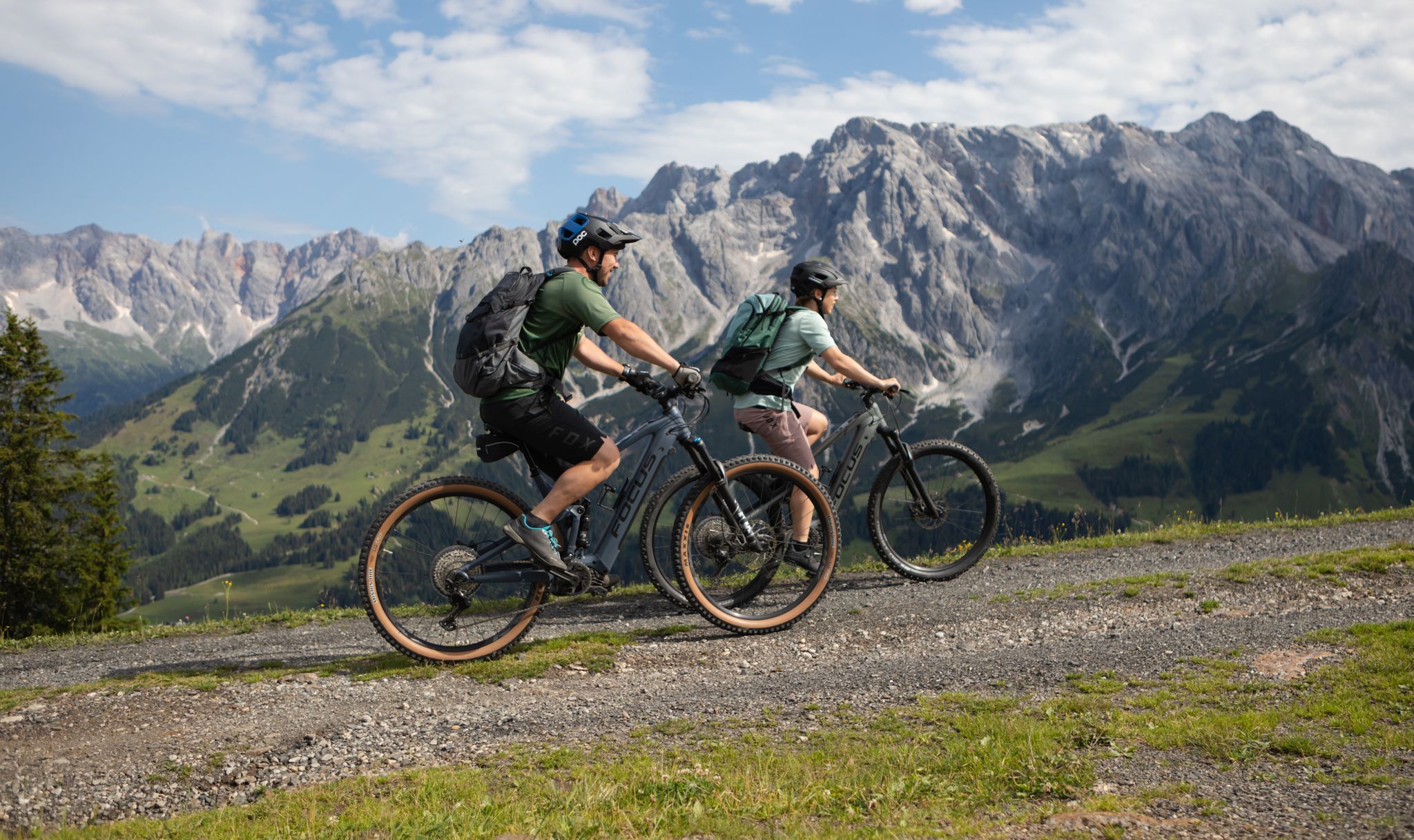
Peak happiness in the Hochkönig E-Bike paradise
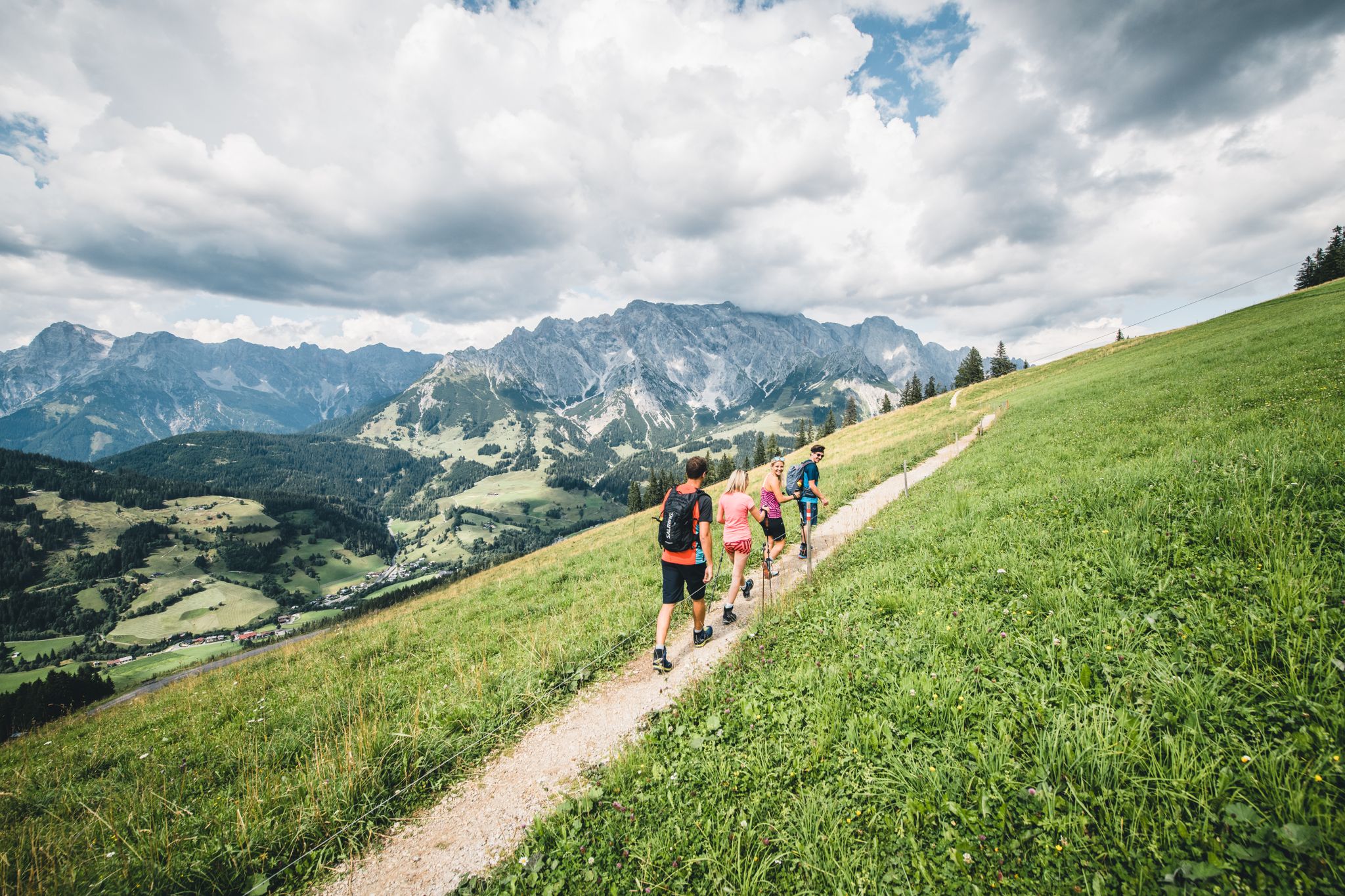
Glorious autumn hiking around the Hochkönig
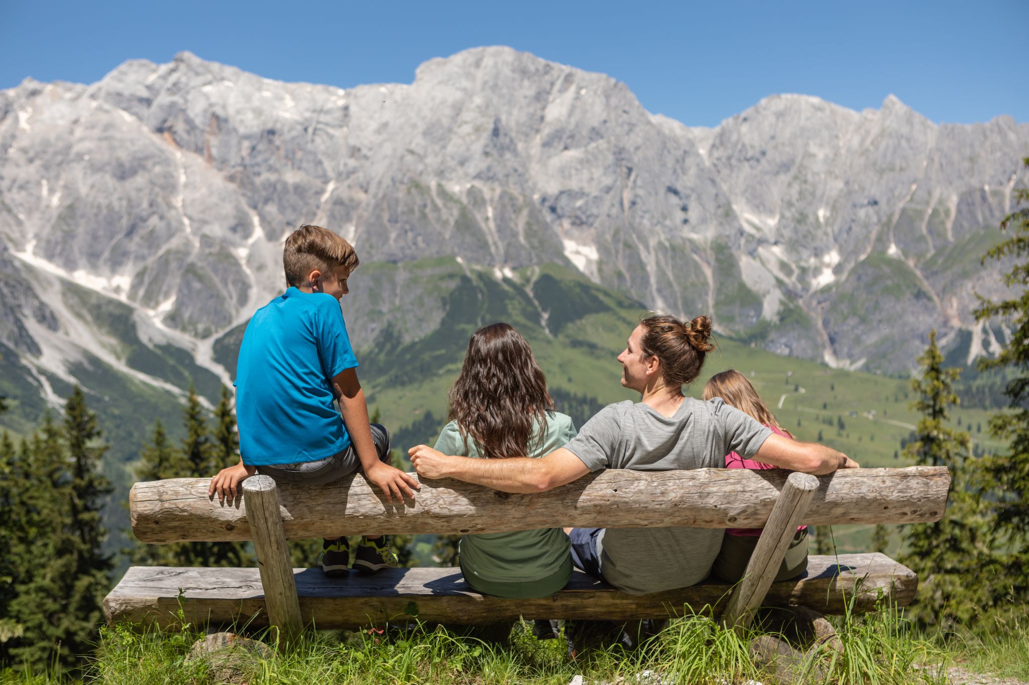
Games, fun and nature – family hikes at Hochkönig
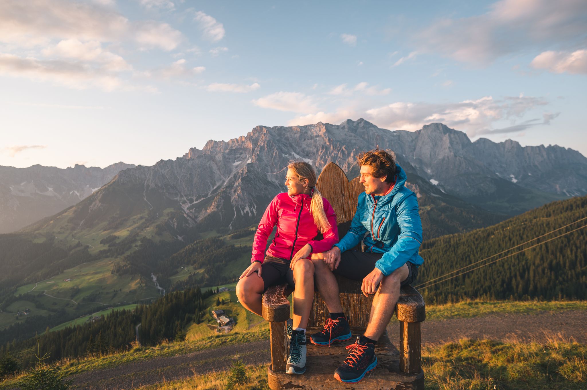
The great awakening – spring hikes on the Hochkönig
The most beautiful tours in Salzburger Land
Salzburg’s most beautiful sides – 25 stages on the Salzburger Almenweg
Bike, enjoy the view, repeat – 12 Tours on Austria’s Hochkönig
Golden autumn adventures in Austria's hiking villages
Family-friendly hikes in Austria’s Pinzgau
11 beautiful walks around St. Johann in Salzburg in Austria
Other adventures around Mühlbach am Hochkönig


Tips from the Community


The stretch between Werfen and Golling along the federal highway is very dangerous because of the trucks. My landlady advised me against it and told me to take the train. I don't tend to over-dramatize things, but just look at the pictures of the narrow federal highway.
2
0
I don't need to say anything about the bike path; I wanted to visit the Lichtenstein Gorge, which wasn't a good idea due to the school holidays. The wait was at least an hour, so I continued on to a decent snack bar near the clinic in Schwarzach. The Greisslerei (food store) processes and sells products containing venison. I picked up some as a snack for future bike rides, and it was delicious.
0
0

The fish ladders on the Salzach River are embankments, supported by hydroelectric power plants or structures, that guide freshwater fish species such as salmonids from the lower to the upper reaches of the river. They consist of stepped concrete or stone structures with rapid sections, steps, and troughs, often accompanied by culverts, ramps, and shields. The goal is to enable fish migration upstream of the river to protect habitats and populations.
0
1

Beautiful panorama really great
0
1
Magnificent panorama
1
0
Frequently Asked Questions
How many gravel bike trails are available around Mühlbach am Hochkönig?
There are over 30 gravel bike trails around Mühlbach am Hochkönig, offering a variety of options for different skill levels and preferences. The region is known for its scenic routes through the Hochkönig massif.
What are the difficulty levels of gravel biking routes in Mühlbach am Hochkönig?
The routes around Mühlbach am Hochkönig cater to various skill levels. You'll find 8 easy routes, 4 moderate routes, and 21 more challenging trails, ensuring there's something for everyone from beginners to experienced riders.
Are there easy gravel bike trails suitable for beginners or families in Mühlbach am Hochkönig?
Yes, there are several easy routes perfect for beginners or families. For instance, the View of the Tennengebirge – View of the Salzburg Mountains loop from Windfelden is an easy 10.1-mile (16.3 km) route with minimal elevation gain, offering pleasant views without being too demanding.
What is the best time of year for gravel biking in Mühlbach am Hochkönig?
The best season for gravel biking in Mühlbach am Hochkönig is typically from late spring to early autumn (May to October). During these months, the weather is generally mild, and the mountain pastures and trails are accessible, offering the most enjoyable riding conditions and clear views of the alpine landscape.
Are there any circular gravel bike routes in the area?
Many of the gravel bike routes around Mühlbach am Hochkönig are designed as loops, allowing you to start and finish at the same point. An example is the popular Proneben Alm – View of Hochkönig loop from Mühlbach am Hochkönig, which is a 13.2-mile (21.2 km) circular trail offering great views.
What kind of scenic views can I expect on gravel bike trails in Mühlbach am Hochkönig?
Gravel biking in Mühlbach am Hochkönig offers stunning alpine views. You can expect vistas of the Hochkönig peak, the broader Salzburg Alps, and the Tennengebirge mountain range. Many routes pass through forested sections and alpine meadows, providing diverse and picturesque scenery.
Are there any longer gravel bike tours for experienced riders?
Yes, experienced riders looking for longer tours have several options. The View of the Tennengebirge – On the Tauern Cycle Path loop from St. Johann im Pongau is a challenging 26.2-mile (42.2 km) route that takes about 3 hours to complete, offering expansive views and varied terrain.
What do other gravel bikers say about the routes in Mühlbach am Hochkönig?
The gravel biking routes in Mühlbach am Hochkönig are highly rated by the komoot community, with an average score of 4.5 stars from over 40 reviews. Riders often praise the stunning alpine views, the variety of terrain, and the well-maintained forest roads that make for an enjoyable experience.
What interesting landmarks or attractions can I find near the gravel bike trails?
Beyond the trails, the region offers historical and natural attractions. You can explore impressive fortifications like Hohenwerfen Fortress or visit serene natural spots such as Prinzensee and Böndl Lake, which are great for a post-ride relaxation.
Are there any specific routes that offer views of the Salzburg Alps?
Absolutely. For expansive views of the Salzburg Alps, consider the View of Hochkönig – View of the Salzburg Alps loop from St. Johann im Pongau. This difficult 20.4-mile (32.9 km) path provides breathtaking panoramas of the Hochkönig and the wider alpine landscape.
Where can I find parking for gravel biking trails in Mühlbach am Hochkönig?
Mühlbach am Hochkönig, being a popular outdoor destination, offers various parking options, especially near trailheads and in the village center. Many routes, particularly circular ones, allow you to park your vehicle conveniently at the starting point. It's advisable to check local signage for specific parking regulations.
Are there any gravel bike routes that pass by lakes or reservoirs?
While the primary focus is on mountain views, some routes might bring you close to local water bodies. For example, the region features highlights like Brandstatt Reservoir and Leogang Reservoir, which can be incorporated into or viewed from certain gravel bike tours.
Most popular routes around Mühlbach am Hochkönig
Most popular attractions around Mühlbach am Hochkönig

Get inspired with the komoot mobile app


Explore more
Browse the best Gravel rides in other regions.
