The best gravel rides around Kirchheimbolanden
4.8
(23)
102
riders
23
rides
Gravel biking around Kirchheimbolanden offers routes through varied terrain, characterized by rolling hills, valleys, and forested sections. The region features a network of paths that traverse agricultural lands and connect to natural landmarks like the Donnersberg. Riders can expect a mix of surfaces suitable for gravel bikes, including unpaved roads and forest trails. The area provides diverse landscapes for gravel biking, combining elements of road and mountain biking.
Best gravel bike trails around Kirchheimbolanden
- The most popular gravel bike trail…
Last updated: July 16, 2026
5.0
(3)
9
riders
39.4km
03:00
660m
660m
Hard gravel ride. Very good fitness required. Mostly paved surfaces. Suitable for all skill levels.
4.6
(5)
12
riders
33.9km
02:09
370m
370m
Moderate gravel ride. Good fitness required. Mostly paved surfaces. Suitable for all skill levels.

Sign up for free
5
riders
46.4km
03:00
660m
660m
Hard gravel ride. Very good fitness required. Mostly paved surfaces. Suitable for all skill levels.
5.0
(1)
3
riders
Hard gravel ride. Very good fitness required. Mostly paved surfaces. Suitable for all skill levels.
5.0
(2)
4
riders
33.9km
02:18
530m
540m
Hard gravel ride. Very good fitness required. Mostly paved surfaces. Suitable for all skill levels.
Get access to more routes and recommendations from other explorers.
Sign up for free
Already have an account?
Our route recommendations are based on thousands of hikes, rides, and runs completed by other people on komoot.
Start today with a free account
Your next adventure awaits.
Login or Signup
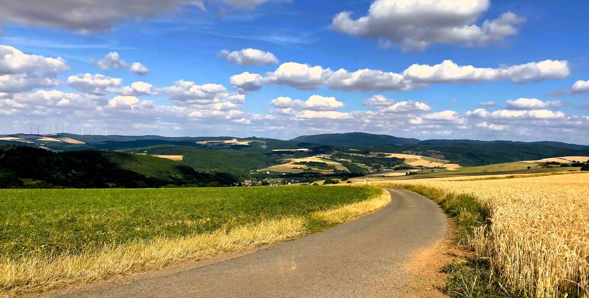
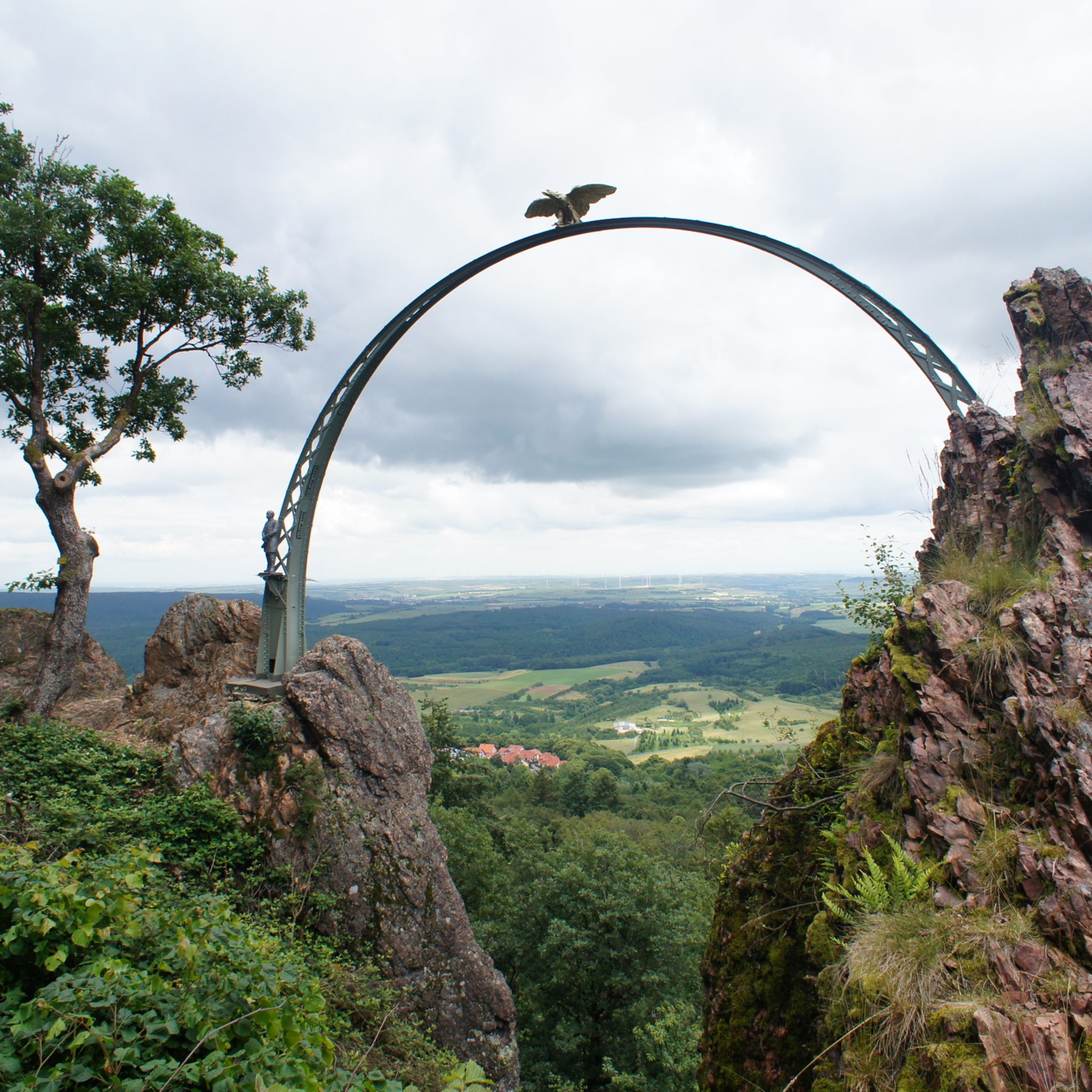
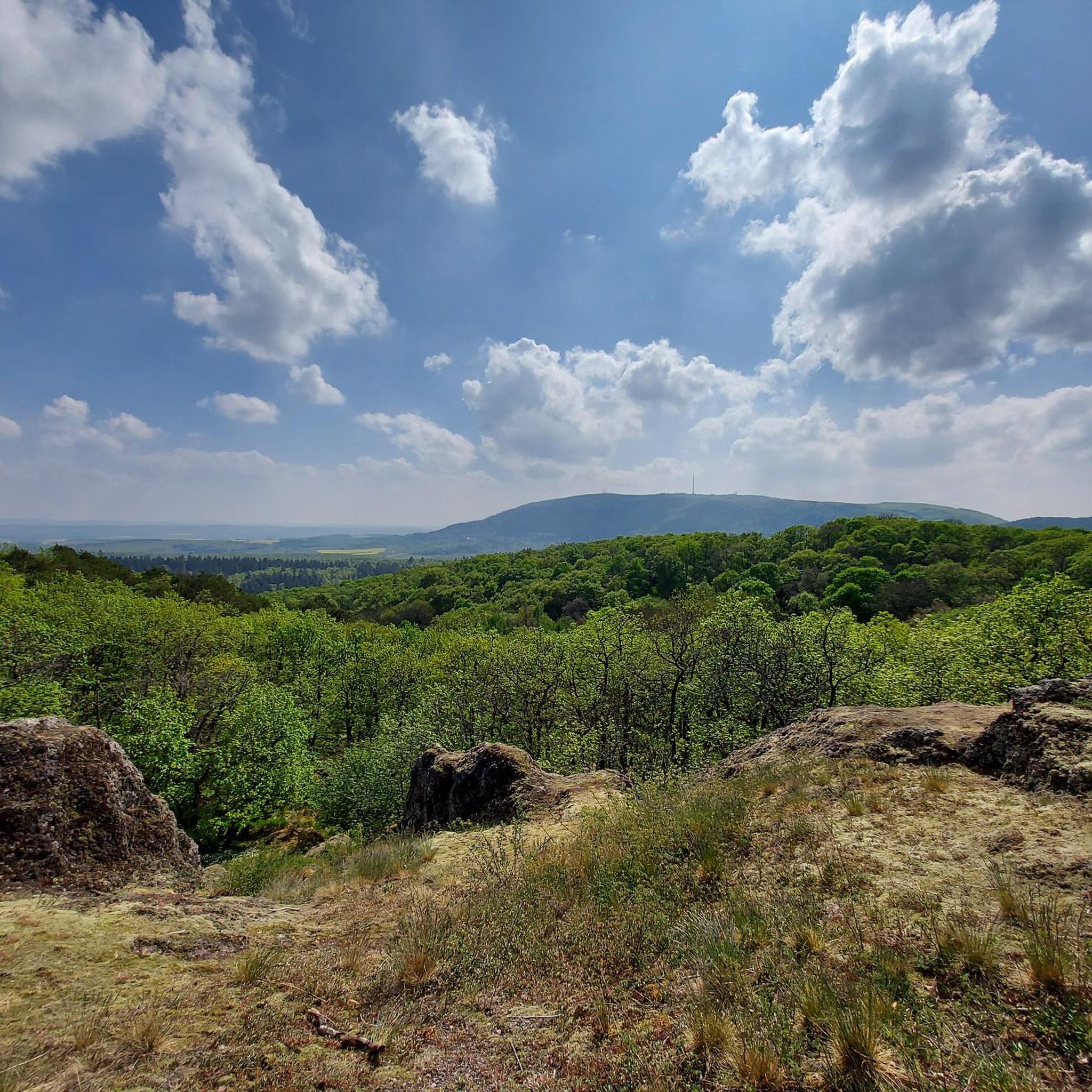
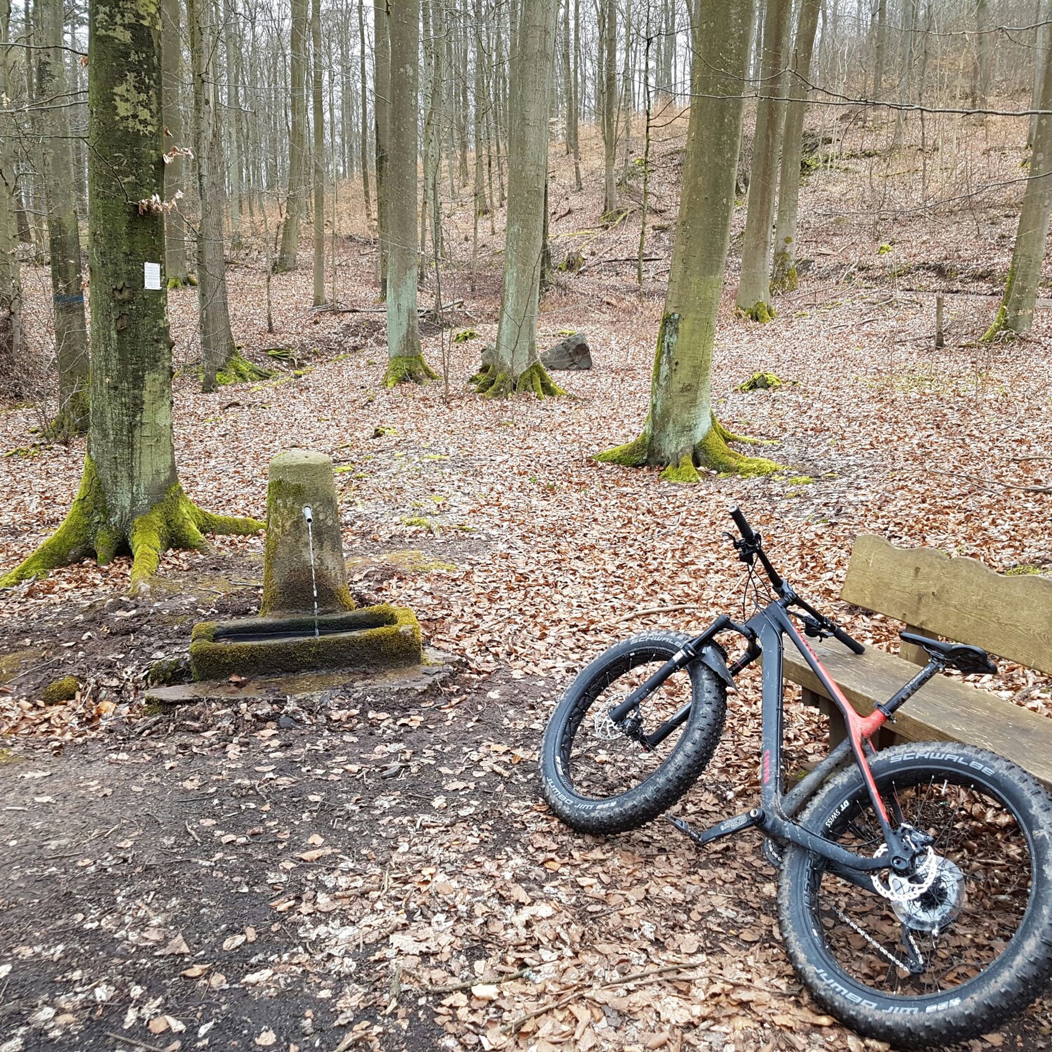
Other adventures around Kirchheimbolanden

Tips from the Community

you automatically drive through when you go to Imsbach
0
0

We ate very good regional dishes here at fair prices.
0
0
great place to stop for refreshments https://www.retzberghuette.de/
0
0
very beautiful old tree
0
0
Ideal for a photo
0
1
Frequently Asked Questions
How many gravel bike trails are available around Kirchheimbolanden?
There are nearly 50 gravel bike routes around Kirchheimbolanden listed on komoot. These routes offer a variety of experiences through the region's rolling hills, valleys, and forested sections.
Are there any easy or beginner-friendly gravel bike trails in Kirchheimbolanden?
While many routes in the area are rated as moderate to difficult, the terrain around Kirchheimbolanden is generally characterized by varied surfaces suitable for gravel bikes. For a less strenuous option, consider routes that stick to flatter valley sections or well-maintained forest paths. Always check the route details for elevation gain and surface type to match your skill level.
What are some challenging gravel bike routes around Kirchheimbolanden?
For experienced riders seeking a challenge, routes like the Bockbach Valley Viaduct – Eistal Viaduct (Eistalviadukt) loop from Kirchheimbolanden offer a difficult 41.0-mile (66.0 km) path exploring prominent viaducts. Another demanding option is the Pfrimmtal Viaduct Marnheim – Pfrimm Valley Viaduct loop from Kirchheimbolanden, which covers over 48 miles (78 km) with significant elevation changes.
Are there any circular gravel bike routes in the area?
Yes, many gravel bike routes around Kirchheimbolanden are designed as loops, allowing you to start and end at the same point. Popular circular routes include the Steinbacher Pond – Keiperweg loop from Kirchheimbolanden and the View of Donnersberg – Appelbach Cycle Path loop from Göllheim-Dreisen, which offers scenic views towards Donnersberg.
What kind of views or landmarks can I expect on these trails?
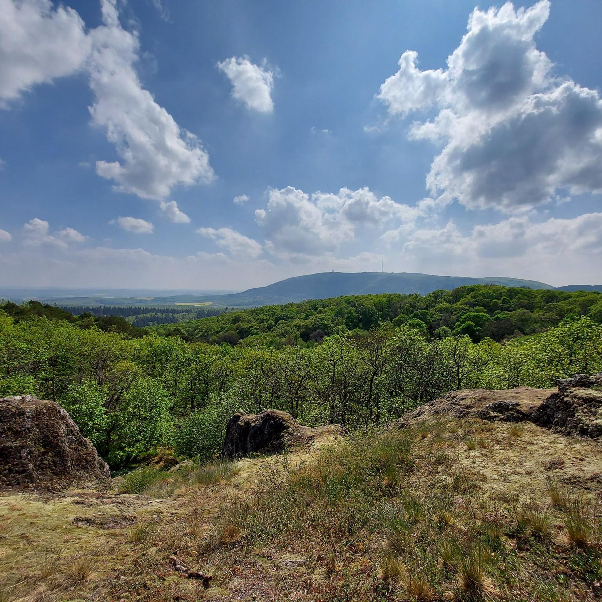
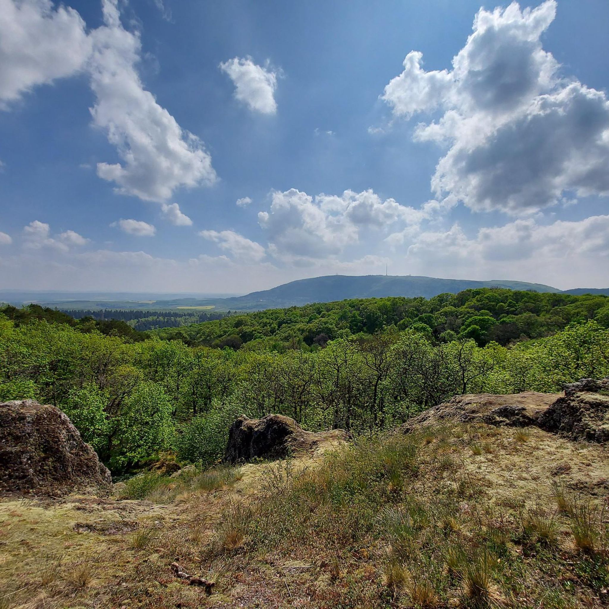
Gravel bike routes often feature views of the Donnersberg, the highest mountain in the Palatinate region, and traverse picturesque valleys like the Appelbach and Pfrimm. You'll also encounter impressive structures such as the Bockbach Valley Viaduct and the Eistal Viaduct. The region is rich in natural beauty and historical sites.
Are there any cafes or places to stop for refreshments along the gravel routes?
While specific cafes on every route are not guaranteed, many villages and towns along the routes, such as Kirchheimbolanden itself, Göllheim, and Marnheim, offer opportunities for refreshments. Planning your route with komoot allows you to identify potential stops and plan accordingly.
What is the best time of year for gravel biking in Kirchheimbolanden?
Spring and autumn generally offer the most pleasant conditions for gravel biking in Kirchheimbolanden, with mild temperatures and vibrant scenery. Summer can be enjoyable, but be prepared for warmer weather. Winter riding is possible, but some trails might be muddy or icy, so checking local conditions is advisable.
Can I find parking near the gravel bike trailheads?
Yes, many starting points for gravel bike routes in and around Kirchheimbolanden, as well as in nearby towns like Göllheim-Dreisen, offer designated parking areas. It's always a good idea to check the specific tour details on komoot for parking information at your chosen trailhead.
What do other gravel bikers say about the routes in Kirchheimbolanden?
The gravel biking routes around Kirchheimbolanden are highly rated by the komoot community, with an average score of 4.6 stars from over 20 reviews. Riders often praise the varied terrain, scenic views, and the well-maintained network of paths that make for an enjoyable gravel biking experience.
Are there any family-friendly gravel biking options?
For families, look for routes that follow dedicated cycle paths or less technical forest roads. While many routes have moderate difficulty, some sections of the Appelbach Cycle Path, for example, might offer gentler terrain suitable for families. Always review the route's difficulty and elevation profile to ensure it's appropriate for all riders.
Can I combine gravel biking with exploring nearby attractions?
Absolutely! The region offers several interesting attractions that can be visited before or after your ride. You could explore historical sites like Iron Gate or visit the White Mine — Visitor Mine. For more natural wonders, the Weinheimer Trift Fossil Site is also nearby.
How long do gravel bike routes typically take in Kirchheimbolanden?
The duration of gravel bike routes varies significantly based on distance and difficulty. For instance, the Steinbacher Pond – Keiperweg loop is about 24.4 miles (39.4 km) and typically takes around 3 hours 41 minutes, while longer routes like the Nahe River at Rheingrafenstein – View of Rheingrafenstein Castle loop can take over 3 hours 45 minutes for its 38.2 miles (61.5 km).
Most popular routes around Kirchheimbolanden
Most popular attractions around Kirchheimbolanden

Get inspired with the komoot mobile app


Explore more
Browse the best Gravel rides in other regions.
