The best gravel rides around Irschenberg
4.6
(274)
1,988
riders
96
rides
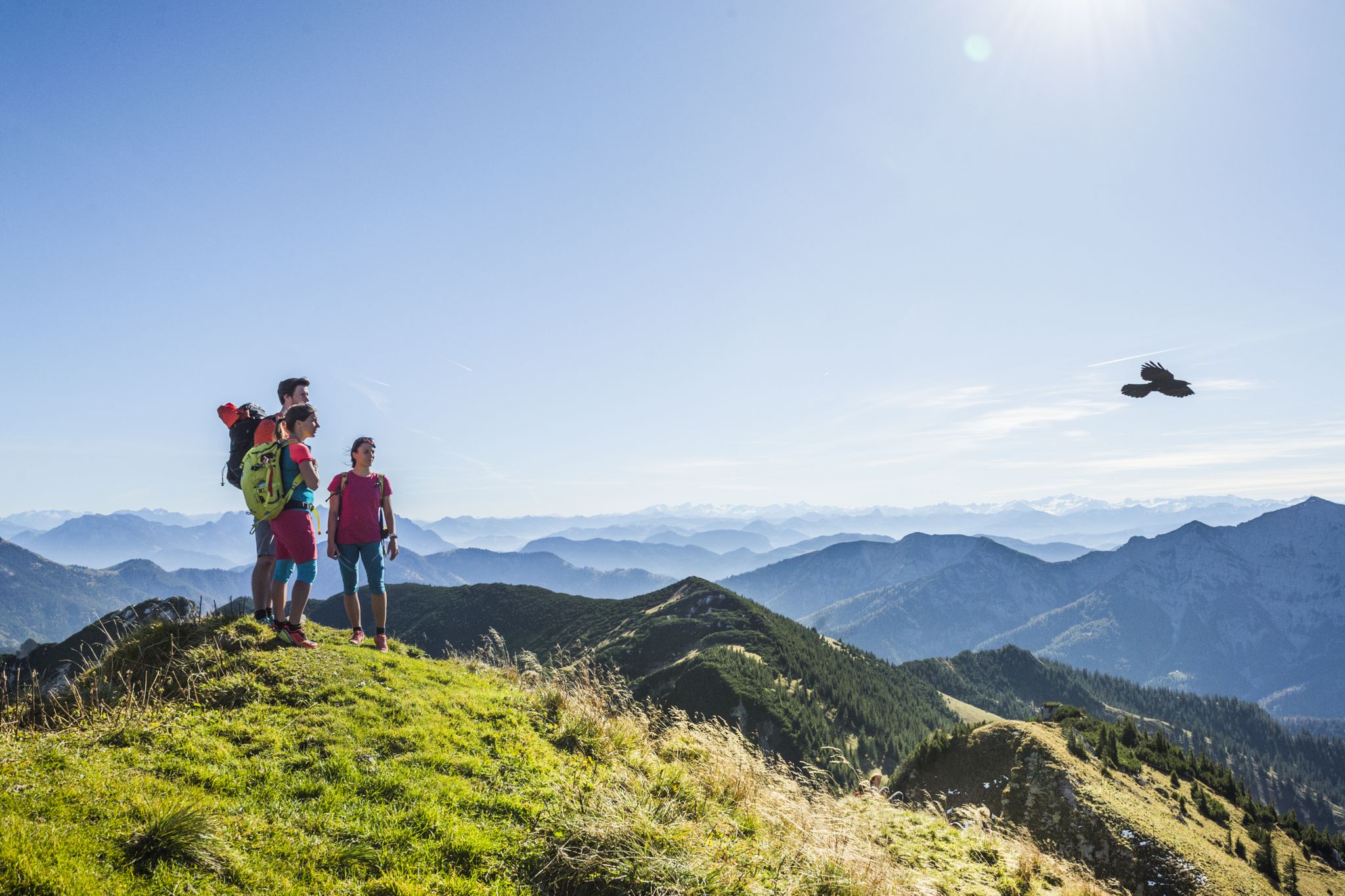
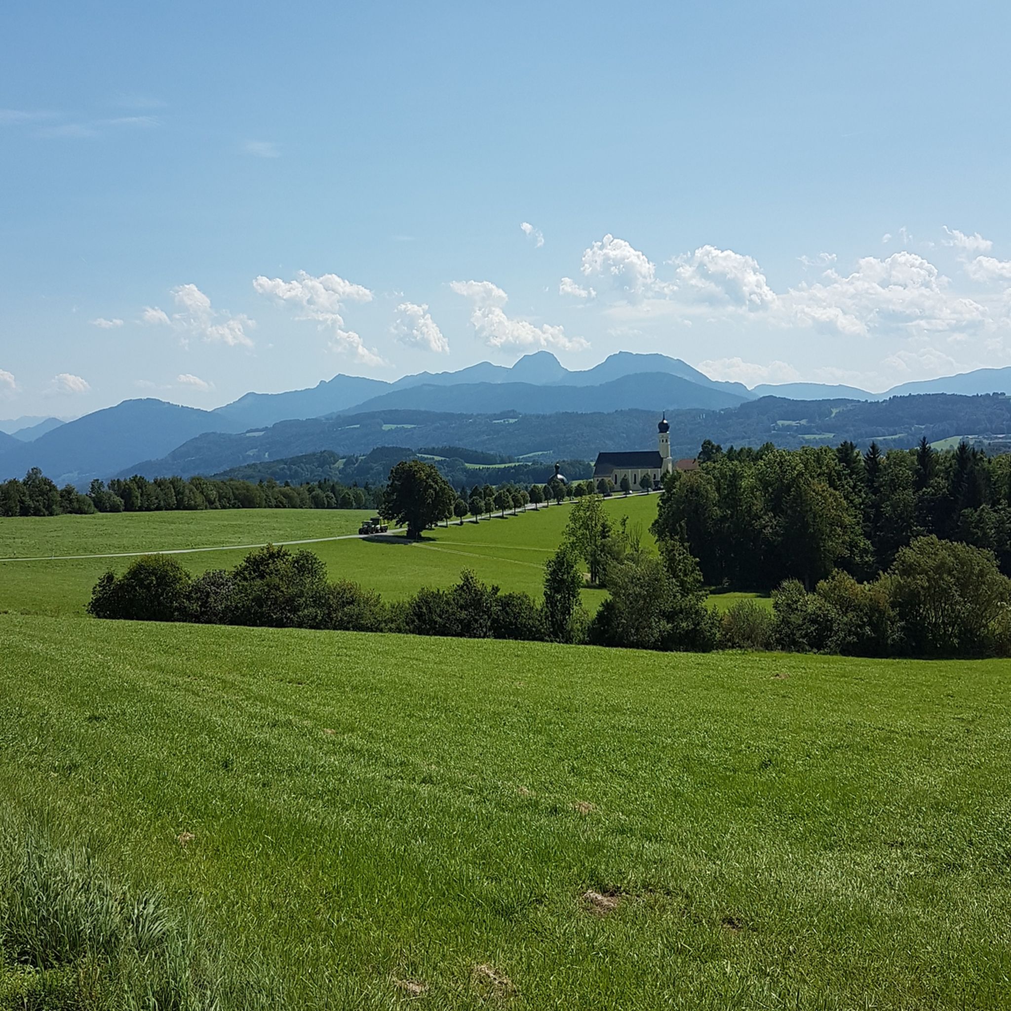
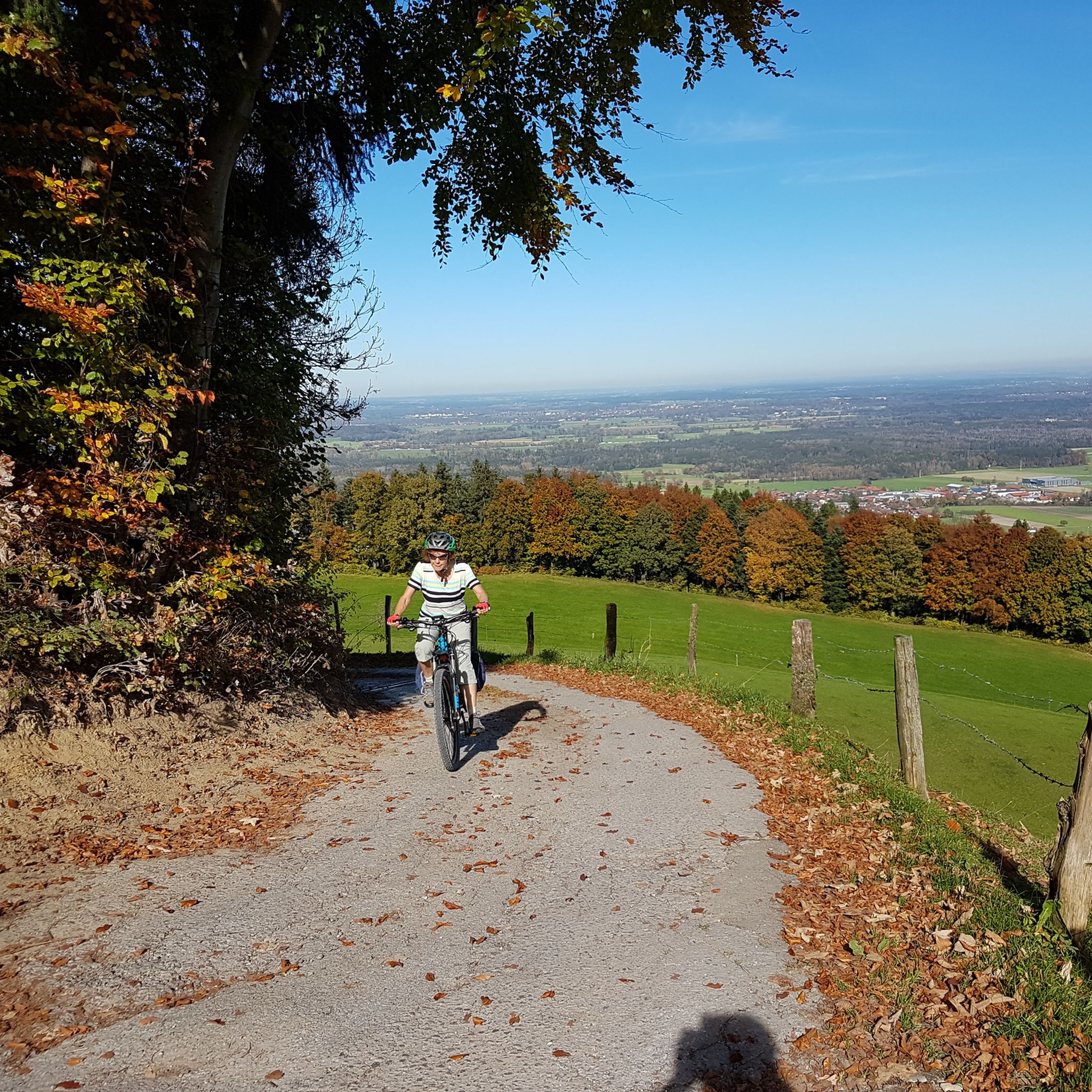
Gravel bike trails around Irschenberg traverse a diverse landscape at the foot of the Bavarian Alps. The region features a mix of green rolling hills, dense forests, and clear streams, offering varied terrain for gravel cycling. Riders can expect routes that combine paved sections with unpaved gravel paths, winding through lush pastures and providing views of the pre-Alpine mountain range. The area's topography includes gentle ascents and descents, characteristic of the Bavarian Oberland.
Best gravel bike trails around Irschenberg
- The…
Last updated: October 5, 2026
4.4
(14)
81
riders
32.2km
02:29
920m
920m
Hard gravel ride. Very good fitness required. Mostly paved surfaces. Suitable for all skill levels.
4.3
(34)
196
riders
37.1km
02:16
530m
530m
Hard gravel ride. Very good fitness required. Mostly paved surfaces. Suitable for all skill levels.

4.3
(4)
29
riders
51.7km
02:31
220m
220m
Moderate gravel ride. Good fitness required. Mostly paved surfaces. Suitable for all skill levels.
4.5
(2)
20
riders
58.0km
03:42
1,050m
1,050m
Hard gravel ride. Very good fitness required. Mostly paved surfaces. Suitable for all skill levels.
4.0
(4)
22
riders
57.7km
02:56
250m
250m
Moderate gravel ride. Good fitness required. Mostly paved surfaces. Suitable for all skill levels.
Get access to more routes and recommendations from other explorers.
Already have an account?
Our route recommendations are based on thousands of hikes, rides, and runs completed by other people on komoot.
Start today with a free account
Your next adventure awaits.
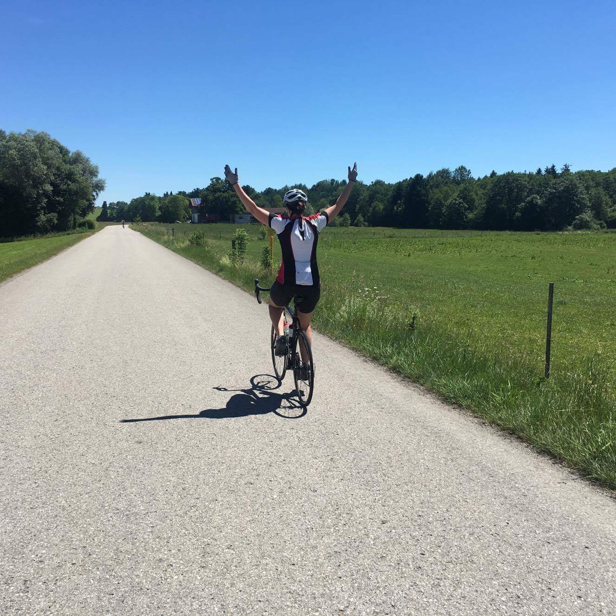
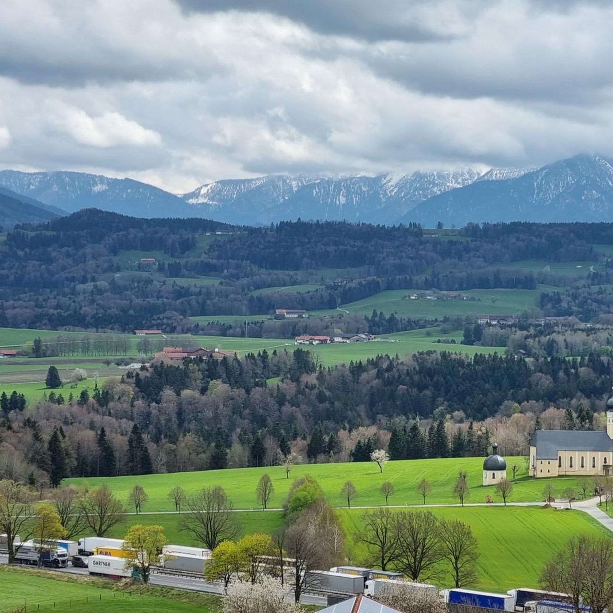
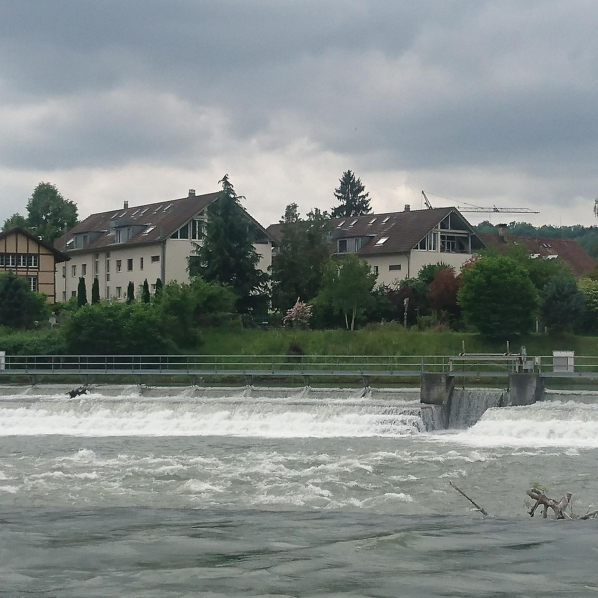
Other adventures around Irschenberg

Tips from the Community

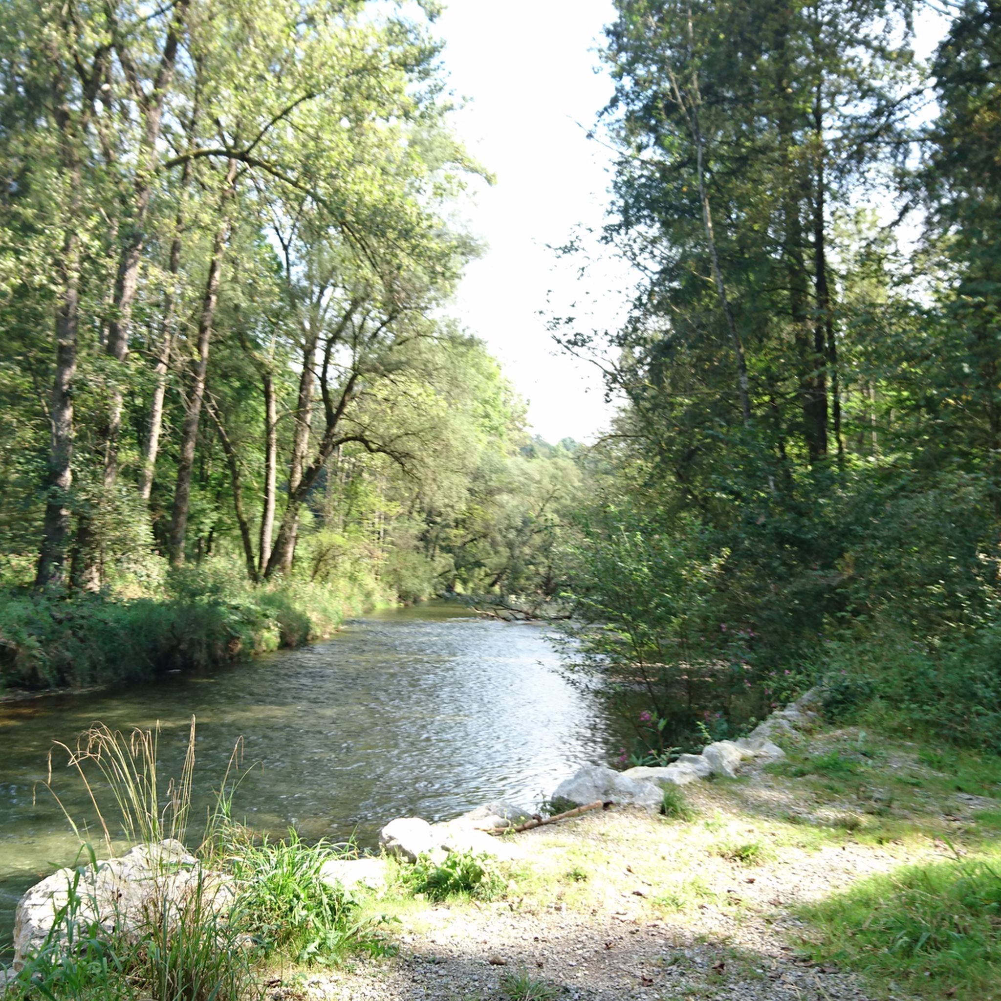
very nice swimming spot right next to the bike path
0
0


A very beautiful castle right next to the Bräustüberl.
1
0

Bankers for a rest to enjoy the sun and the magnificent view of the Mangfall and the mountains.
1
0

For the most part, the Mangfall Cycle Path runs directly along the Mangfall River. The river has been beautifully restored, with small weirs and opportunities for swimming.
5
0

2 lakes, many hills and at the end a beer
0
0

Here, you're not looking at the Wendelstein; the Breitenstein stands in front of it and obscures it. One of the photos does show the Wendelstein, but it was definitely not taken from here. The view extends into the Spitzing area, with Aiplspitz, etc., to the east and Brecherspitz to the west.
0
0
Frequently Asked Questions
How many gravel bike trails are available in Irschenberg?
There are over 200 gravel bike routes around Irschenberg, offering a wide range of options for different skill levels and preferences. You can find routes from easy to difficult, ensuring there's something for every rider.
What kind of terrain can I expect on gravel bike trails around Irschenberg?
The terrain around Irschenberg is diverse, featuring a picturesque blend of green hills, dense forests, and clear streams. You'll encounter a mix of paved sections and unpaved gravel paths, winding through lush pastures. While many routes have gentle ascents and descents characteristic of the Bavarian Oberland, some challenging paths offer significant elevation gain.
Are there any family-friendly gravel biking options in Irschenberg?
Yes, Irschenberg offers routes suitable for families. The region's clear streams, like the Auerbach with its waterfalls and natural pools, provide pleasant spots for breaks. When choosing a route, look for those with less elevation and shorter distances to ensure a comfortable experience for all family members.
What interesting landmarks or scenic viewpoints can I discover along the gravel bike trails?
Many routes offer stunning views and pass by notable landmarks. You can enjoy impressive panoramic vistas of the Bavarian Oberland and the pre-Alpine mountain range from viewpoints like the Aussichtspunkt Irschenberg. Other points of interest include the historic Wallfahrtskirche Wilparting St. Marinus and the beautiful Lake Schliersee. The Mangfall Cycle Path – Maxlrain Castle loop from Bruckmühl, for example, takes you past Maxlrain Castle.
Are there circular gravel bike routes available in Irschenberg?
Yes, many gravel bike routes in Irschenberg are designed as circular loops, allowing you to start and end at the same point. Examples include the popular View of the Alps – Mangfall Cycle Path loop from Hinrichsseggen and the Leitzach Valley Trail – Rohnbach Trail loop from Miesbach.
What is the best time of year for gravel biking in Irschenberg?
The region is generally excellent for gravel biking from spring through autumn. During these seasons, you can best enjoy the green hills, dense forests, and clear lakes. While some routes might be accessible in winter, conditions can vary, so it's advisable to check local weather and trail conditions for snow or ice before heading out.
Are there any routes with significant elevation gain for advanced riders?
Yes, Irschenberg offers challenging routes with significant elevation gain. For instance, the View from the Tregler Alm – Rest Chapel St. Franz Xaver loop from Auer Weidmoos is classified as difficult with over 900 meters of ascent, providing a demanding experience for advanced gravel bikers.
What do other gravel bikers enjoy most about Irschenberg?
The area is highly rated by the komoot community, with an average score of 4.5 stars from over 350 reviews. Riders often praise the diverse landscape, the mix of challenging and scenic paths, and the stunning views of the Alps and pre-Alpine mountain range. The well-maintained gravel paths and the opportunity to explore charming villages and natural features are also frequently highlighted.
Can I access gravel bike trails in Irschenberg using public transport?
While many routes are designed to be accessed by car, some starting points may be reachable via public transport, particularly in larger towns nearby like Miesbach or Bruckmühl. It's recommended to check local bus or train schedules to plan your journey to the trailhead.
Where can I find parking for gravel biking trails near Irschenberg?
Parking is generally available at or near the starting points of many routes, especially in the smaller villages and towns surrounding Irschenberg. Specific parking information can often be found in the route descriptions on komoot, or by checking local signage upon arrival.
Are there any routes that pass by lakes or offer opportunities for swimming?
Yes, the region features beautiful natural lakes. The Seehamer See is a popular spot for swimming and surfing, and some routes may pass nearby. While not directly on a route mentioned in the guide, the Lake Schliersee is also a prominent feature in the area, offering scenic views and lakeside facilities.
What is the average difficulty level of gravel bike trails in Irschenberg?
Irschenberg offers a good mix of difficulties. Out of over 200 routes, about 92 are considered moderate, and 95 are difficult, with 28 easy routes. This means you can find everything from gentle rides through valleys to more challenging ascents with significant elevation.
Most popular routes around Irschenberg
Most popular attractions around Irschenberg

Get inspired with the komoot mobile app


Explore more
Browse the best Gravel rides in other regions.
