The best gravel rides around Heimbuchenthal
4.4
(76)
244
riders
41
rides
Gravel biking around Heimbuchenthal is characterized by its location within the Spessart Nature Park, an expansive area of mixed forests and rolling hills. The region features a diverse trail network, with many routes traversing tranquil forest paths and offering medium to strong inclines. Heimbuchenthal itself is situated in the Elsava Valley, contributing to varied terrain that ranges in altitude from 250 to 450 meters.
Best gravel bike trails around Heimbuchenthal
- The most popular gravel bike trail is Main River Near…
Last updated: October 2, 2026
4.3
(8)
21
riders
Hard gravel ride. Very good fitness required. Mostly paved surfaces. Suitable for all skill levels.
4.3
(3)
8
riders
24.8km
01:40
410m
410m
Moderate gravel ride. Good fitness required. Mostly paved surfaces. Suitable for all skill levels.

4
riders
59.3km
04:10
980m
980m
Hard gravel ride. Very good fitness required. Mostly paved surfaces. Suitable for all skill levels.
5.0
(1)
7
riders
27.5km
01:47
360m
360m
Moderate gravel ride. Good fitness required. Mostly paved surfaces. Suitable for all skill levels.
3
riders
23.5km
01:40
410m
410m
Moderate gravel ride. Good fitness required. Mostly paved surfaces. Suitable for all skill levels.
Get access to more routes and recommendations from other explorers.
Already have an account?
Our route recommendations are based on thousands of hikes, rides, and runs completed by other people on komoot.
Start today with a free account
Your next adventure awaits.
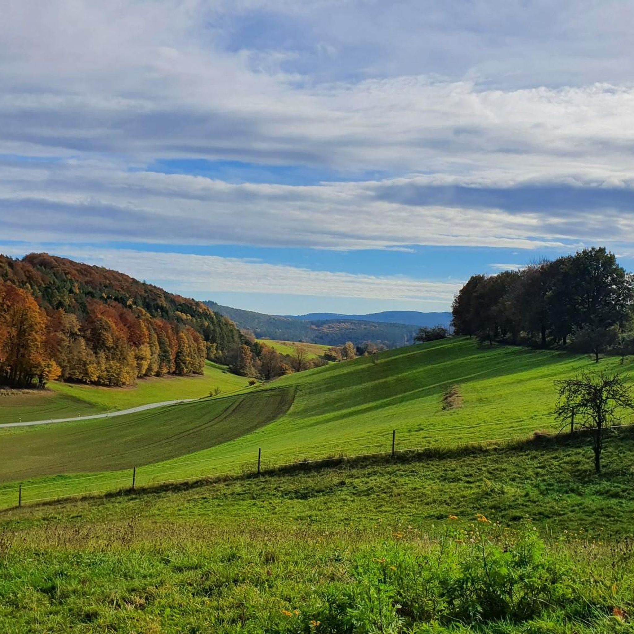
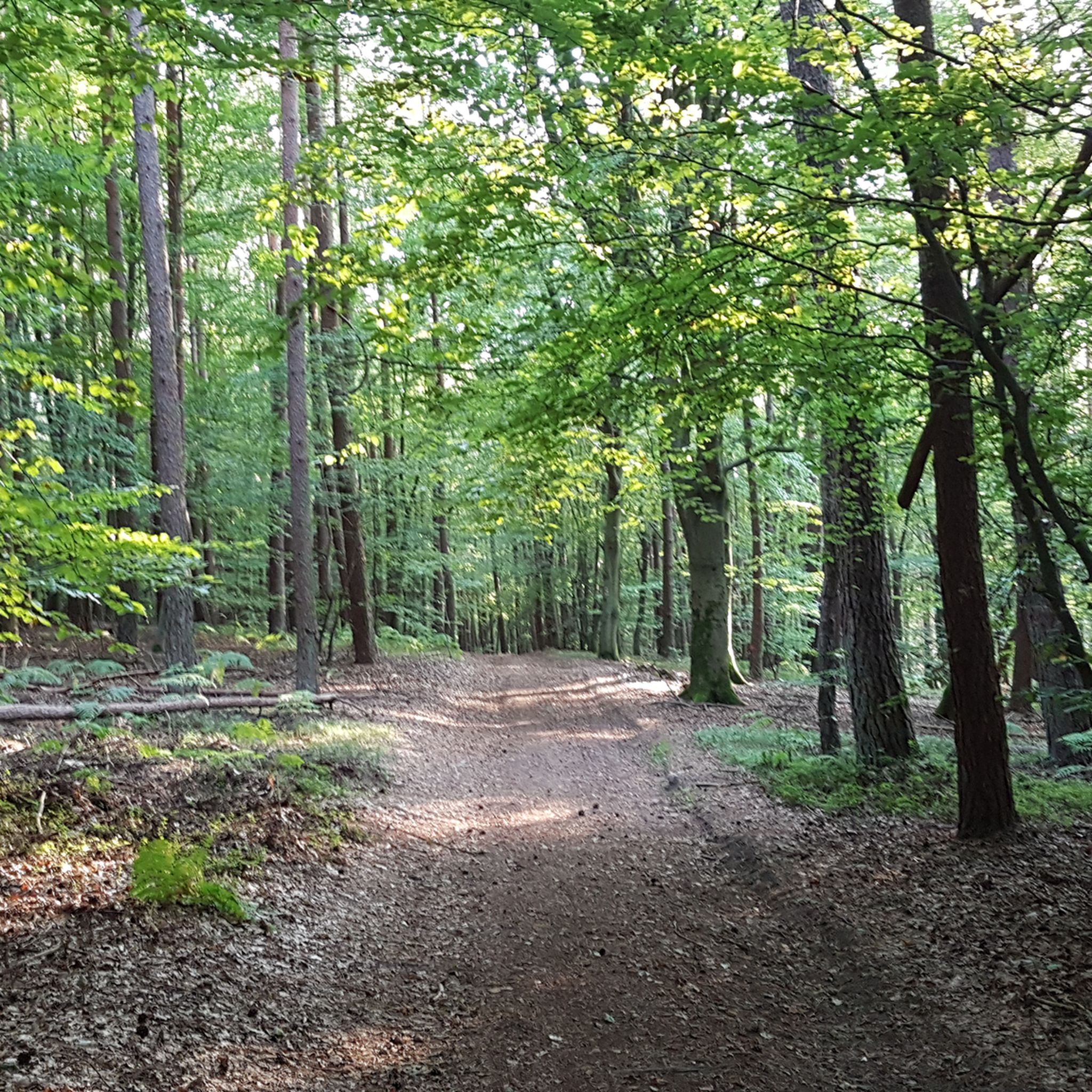
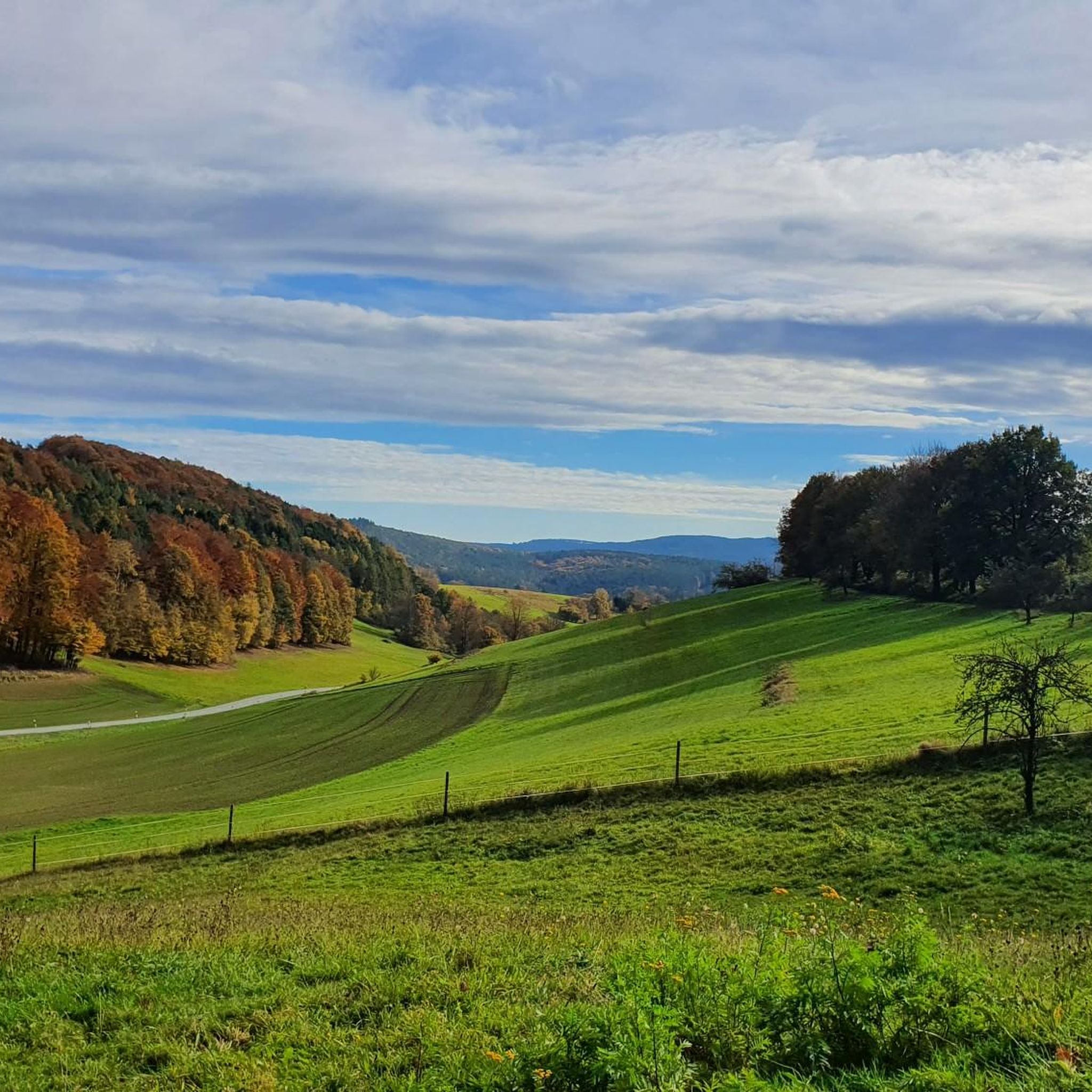
Other adventures around Heimbuchenthal

Tips from the Community

The Hafenlohr is a 26.5 km (27.7 km with Tiergartenbach) long, right tributary of the Main in the districts of Aschaffenburg and Main-Spessart in the Bavarian Spessart. The Hafenlohr originates from two springs in the municipality of Rothenbuch. The longer and at times more water-rich source is the Tiergartenbach, which often dries up on dry days. Officially, it is considered the upper course of the main water body of the Hafenlohr. The origin named Hafenlohrquelle in the middle of the village provides water almost all year round. The Hafenlohrquelle is located at Schloss Rothenbuch. It was channeled in sandstone during the widening of the road St 2317. Its water flows through the castle moat northwestward and flows into the bed of the Tiergartenbach about a hundred meters later from the left side, which flows from the Tiergartengrund on the northern edge of the village and is already 1.3 km long. It does not supply water all year round, but at times more than the also perennial spring at the castle. The spring at the castle was probably a meeting point for hunting in the eastern Spessart in the past, which is why the construction of a hunting lodge began here in 1342. The castle moat and some surrounding trout lakes, which no longer exist today, were fed with the emerging spring water. Source and further information: https://de.wikipedia.org/wiki/Hafenlohr_(Fluss)
1
0

🪧 Historical signpost Beautiful old signpost in the middle of the green. The historical signs still show the distances to Sulzbach (5 km) and Kleinwallstadt (3.5 km) as well as other surrounding places. Today there is also a small seating area here – perfect for a short break on your hike or bike tour. 🚲🥾 A beautiful little piece of past path history.
0
0
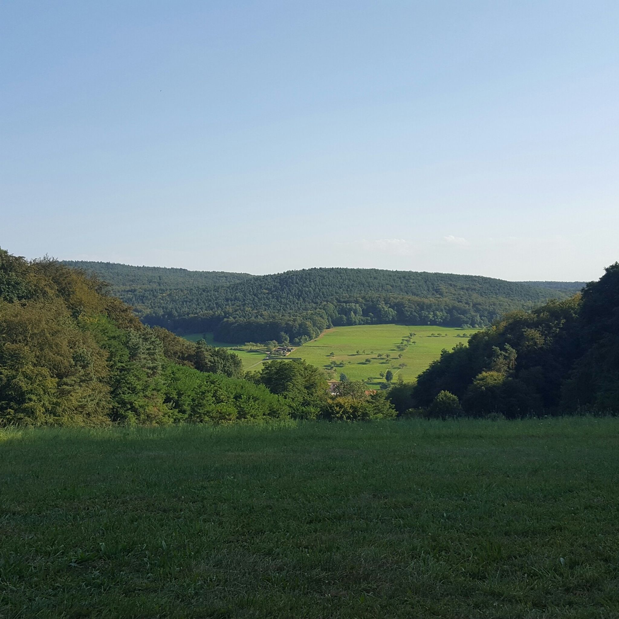
Beautiful view that you can enjoy when passing by
0
0


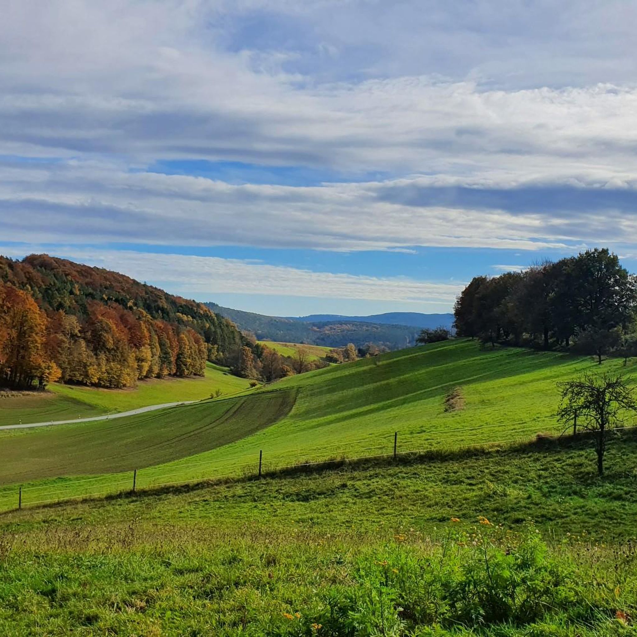
The Hafenlohrtal is wonderfully quiet. And so beautiful.
0
0

Directly next to the Echterspfahl
0
0

Beautiful path through the Aubach valley with magical clearings and forest passages.
1
0

Here the "Eselsweg", an old trade route running north-south, along which animals heavily laden with salt were formerly transported from Bad Orb, crosses the old postal route running east-west from Würzburg to Frankfurt am Main. It was once a meeting place for the hunters and beaters of the Prince-Electors and Bishops of Mainz. The name goes back to the legend according to which the three Echter brothers, who were all active as robber knights and were pursued by Emperor Barbarossa's troops, met there from time to time and tied their horses to the metal rings of the post. The "Eselsweg" is today a quality long-distance hiking trail of 111 km.
0
0
Frequently Asked Questions
How many gravel bike routes are available around Heimbuchenthal?
The Heimbuchenthal region offers a wide variety of gravel biking experiences, with over 70 routes available. These range from moderate to difficult, catering to different skill levels.
What kind of terrain can I expect on gravel bike trails in Heimbuchenthal?
Gravel bike trails in Heimbuchenthal primarily traverse the diverse landscapes of the Spessart Nature Park. You'll encounter a mix of tranquil forest paths, rolling hills, and occasional flat sections. The altitude ranges from 250 to 450 meters, meaning many routes feature medium to strong inclines.
Are there any easy or beginner-friendly gravel routes in the area?
While many routes feature moderate to strong inclines, the extensive network does offer options for varying ability levels. For a moderate ride that includes scenic views, consider the Kurparksee Heimbuchenthal – Rück-Schippach Cycle Path loop from Heimbuchenthal, which is 38.4 km long and passes by the natural lake in the town center.
Can I find routes with significant climbs for a more challenging ride?
Yes, the Spessart Nature Park's rolling hills provide plenty of opportunities for challenging climbs. For a more difficult and longer ride, the Mespelbrunn Castle – Sylvan Forest Lodge loop from Weibersbrunn covers nearly 60 km with significant elevation gain, offering a rewarding challenge.
What are some notable landmarks or scenic viewpoints I can see while gravel biking near Heimbuchenthal?
Many routes offer scenic views and pass by interesting landmarks. You could explore the Herrenbild Chapel – View of Heimbuchenthal loop from Heimbuchenthal for panoramic views of the town. For historical sights, the Maria am Weg - Chapel – Historic Town Hall loop from Dammbach leads through cultural landmarks. Additionally, the famous Mespelbrunn Castle is a short distance away and can be incorporated into longer tours.
Are there any family-friendly gravel biking options in Heimbuchenthal?
The region's extensive network includes paths suitable for families, especially those that stick to the gentler sections of the Elsava Valley or around the Kurparksee Heimbuchenthal, which features a barefoot path and offers a relaxing natural spot. Look for routes with less elevation gain and smoother surfaces.
What is the best time of year to go gravel biking in Heimbuchenthal?
Heimbuchenthal, with its healthy climate and mixed forests, is enjoyable for gravel biking through much of the year. Spring and autumn offer pleasant temperatures and beautiful scenery, especially with the changing foliage. Summer is also great, though some inclines might be more strenuous in warmer weather. Winter can be ridden, but be prepared for potentially muddy or icy conditions on unpaved paths.
Are there circular gravel bike routes available?
Yes, many of the gravel bike routes around Heimbuchenthal are designed as loops, allowing you to start and end at the same point. Examples include the popular Main River Near Obernau – Niedernberger Lake loop from Hausen and the Herrenbild Chapel – View of Heimbuchenthal loop from Heimbuchenthal.
Where can I find parking for my gravel bike tour in Heimbuchenthal?
Heimbuchenthal and the surrounding towns offer various parking options, often near trailheads or town centers. For instance, if you're starting a tour from Heimbuchenthal itself, you can usually find parking close to the Kurparksee. For routes starting in other villages like Hausen or Dammbach, look for designated public parking areas.
Is public transport an option for reaching gravel bike trails in Heimbuchenthal?
While Heimbuchenthal is well-connected by road, public transport options for reaching specific trailheads with a bike might be limited. It's advisable to check local bus schedules and their bike carriage policies in advance if you plan to use public transport to access the trails.
What do other cyclists say about gravel biking in Heimbuchenthal?
The gravel biking routes around Heimbuchenthal are highly regarded by the komoot community, holding an average rating of 4.6 stars from over 100 reviews. Cyclists often praise the region's diverse terrain, the beauty of the Spessart Nature Park's mixed forests, and the well-maintained paths that make for an enjoyable ride.
Are there any routes that pass by places to eat or rest?
Yes, several routes offer opportunities to stop for refreshments. The Mespelbrunn Castle – Sylvan Forest Lodge loop from Weibersbrunn, for example, passes near the Hohewart-Haus (Hohe Warte), a rustic forest house known for local cuisine. Many towns and villages along the routes, including Heimbuchenthal itself, have cafes and pubs where you can refuel.
Most popular routes around Heimbuchenthal
Most popular attractions around Heimbuchenthal

Get inspired with the komoot mobile app


Explore more
Browse the best Gravel rides in other regions.
