The best gravel rides around Landkreis Heilbronn
4.3
(176)
1,051
riders
160
rides
Gravel biking around Landkreis Heilbronn offers diverse landscapes, including extensive forests, picturesque river valleys, and wine-growing regions. The area is characterized by the nature parks Stromberg-Heuchelberg and Schwäbisch-Fränkischer Wald, providing a mix of unpaved paths and well-developed cycle routes. Elevations like the Michaelsberg and Schweinsberg Tower offer varied terrain. The region's network of trails caters to different skill levels, from moderate routes to more challenging passages.
Best gravel bike trails around Landkreis Heilbronn
- The most popular gravel bike trail is…
Last updated: October 5, 2026
4.3
(3)
14
riders
53.9km
04:23
640m
720m
Hard gravel ride. Very good fitness required. Mostly paved surfaces. Suitable for all skill levels.
5.0
(4)
31
riders
49.7km
04:18
820m
820m
Hard gravel ride. Very good fitness required. Mostly paved surfaces. Suitable for all skill levels.

4.6
(5)
24
riders
44.0km
03:32
560m
560m
Hard gravel ride. Very good fitness required. Mostly paved surfaces. Suitable for all skill levels.
4.9
(8)
44
riders
40.9km
02:34
660m
660m
Hard gravel ride. Very good fitness required. Mostly paved surfaces. Suitable for all skill levels.
4.6
(12)
63
riders
39.1km
02:09
300m
300m
Moderate gravel ride. Good fitness required. Mostly paved surfaces. Suitable for all skill levels.
5.0
(1)
10
riders
86.3km
05:23
1,110m
1,110m
Hard gravel ride. Very good fitness required. Mostly paved surfaces. Suitable for all skill levels.
4.0
(1)
20
riders
98.1km
05:48
1,210m
1,210m
Hard gravel ride. Very good fitness required. Mostly paved surfaces. Suitable for all skill levels.
3.3
(3)
17
riders
32.0km
02:06
460m
460m
Hard gravel ride. Very good fitness required. Mostly paved surfaces. Suitable for all skill levels.
5.0
(8)
45
riders
28.1km
01:23
150m
150m
Moderate gravel ride. Good fitness required. Mostly paved surfaces. Suitable for all skill levels.
5.0
(3)
15
riders
35.2km
02:07
490m
490m
Hard gravel ride. Very good fitness required. Mostly paved surfaces. Suitable for all skill levels.
Get access to more routes and recommendations from other explorers.
Already have an account?
Our route recommendations are based on thousands of hikes, rides, and runs completed by other people on komoot.
Start today with a free account
Your next adventure awaits.
Popular around Landkreis Heilbronn
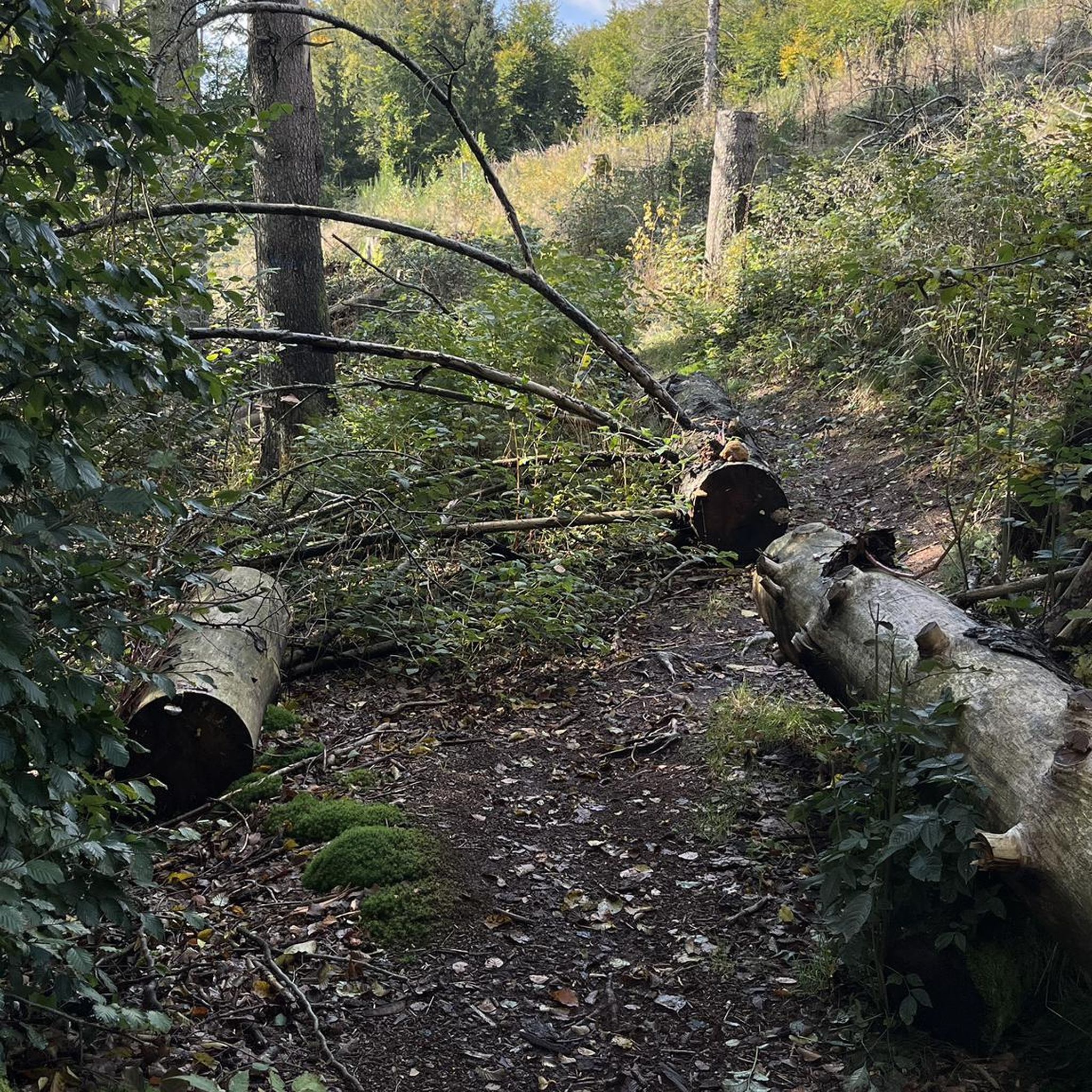
Gravel biking around Pfaffenhofen
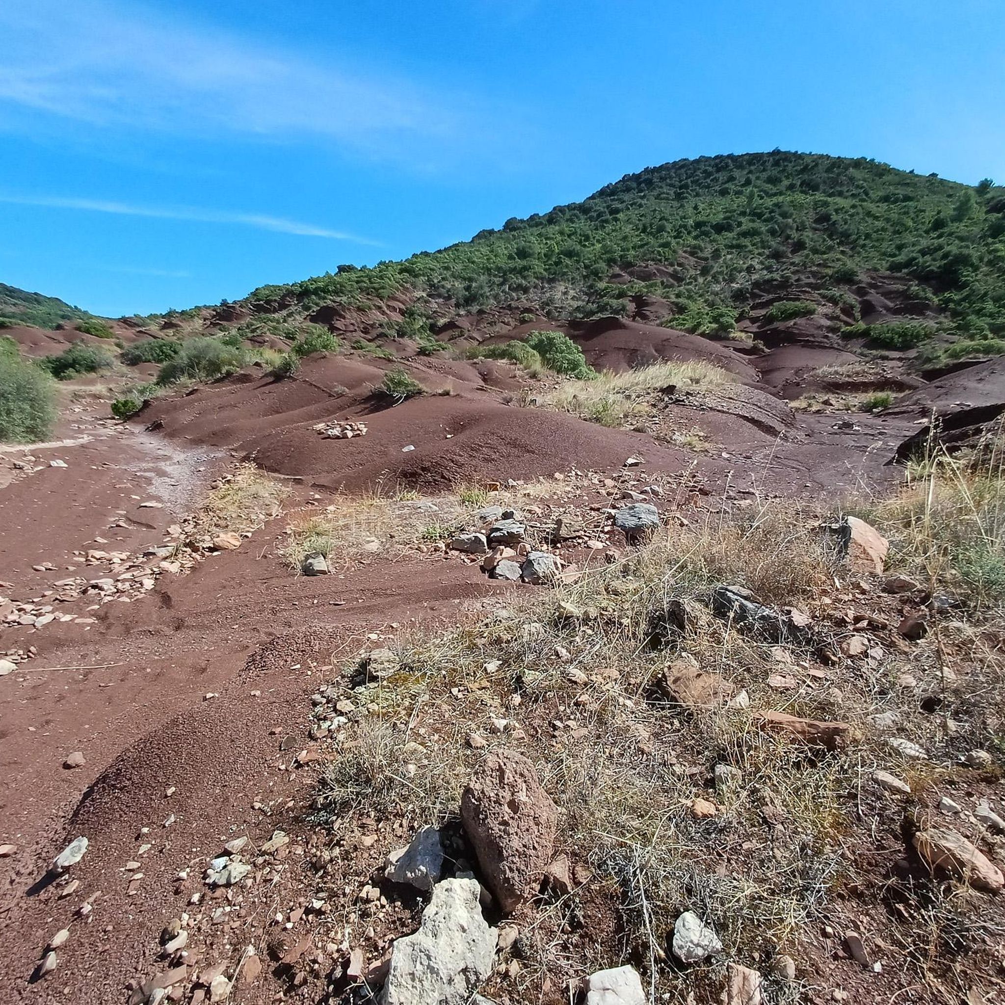
Gravel biking in Lochwald
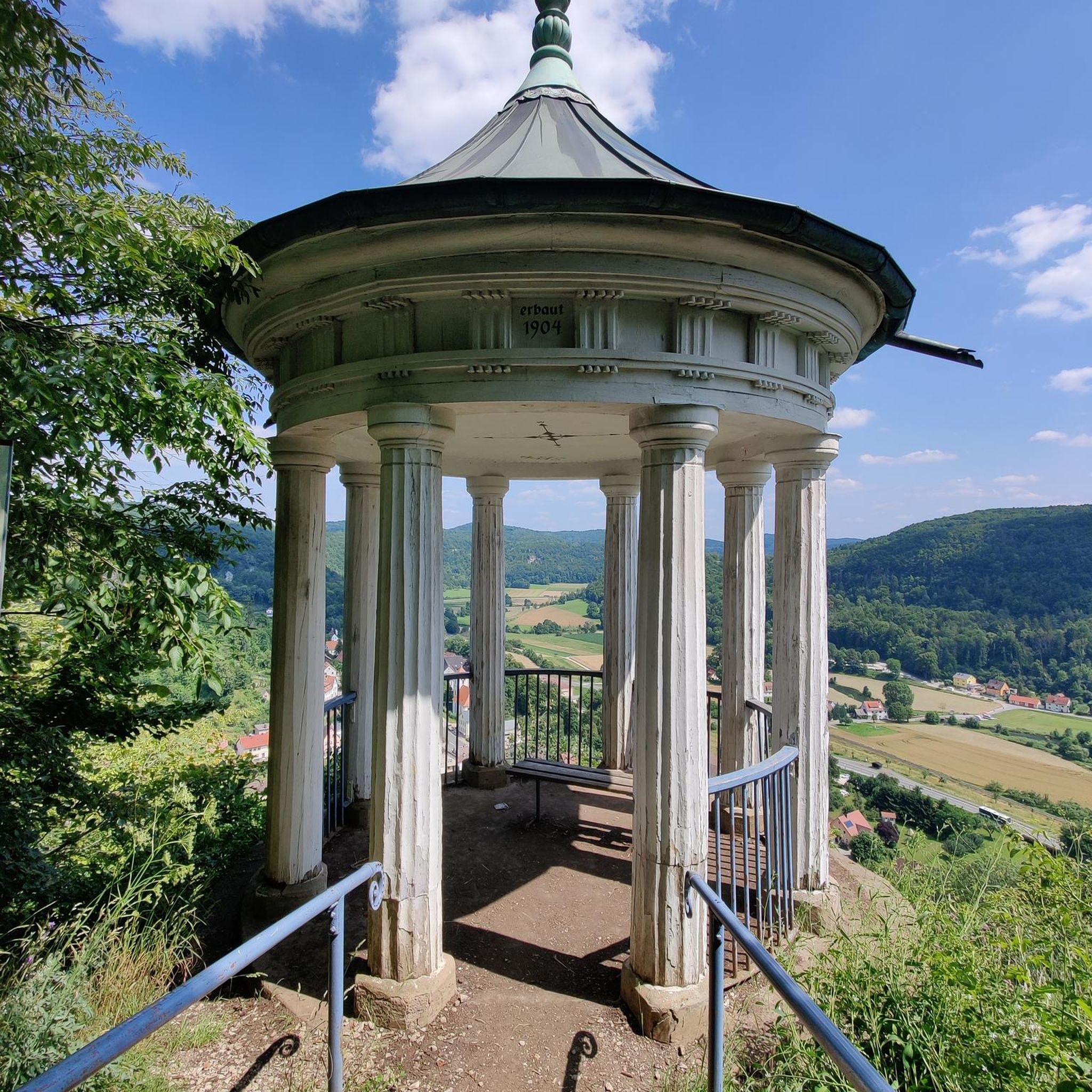
Gravel biking around Gemmingen
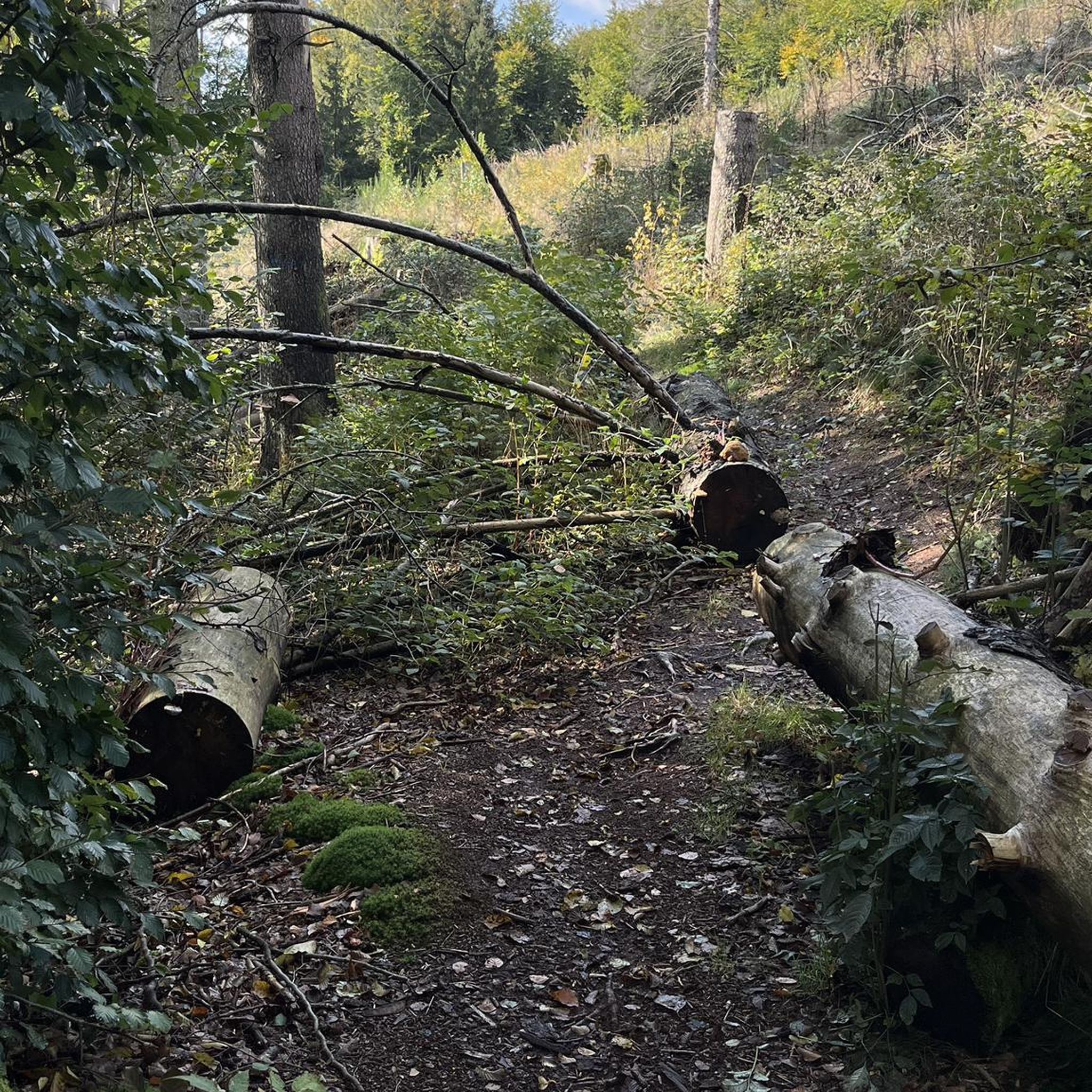
Gravel biking around Güglingen

Gravel biking around Cleebronn
Gravel biking around Schwaigern

Gravel biking around Abstatt

Gravel biking in Grafenwald

Gravel biking around Lehrensteinsfeld

Gravel biking around Obersulm
Other adventures around Landkreis Heilbronn


Tips from the Community

Through the old town or also cycling along the Kocher... wonderful 🫠
0
0

On around 15 hectares, it offers a successful mix of spacious green areas, flower gardens, recreational facilities, and quiet retreats.
4
0

Explored Waldenburg by bike
0
0

From the Schlossbergturm, you have a panoramic view over large parts of Northern Baden and Northern Wuerttemberg. Depending on the weather and visibility, you can recognize, among other things: To the west: the Rhine plain and, in very clear conditions, the Vosges mountains in France. To the southwest: the Northern Black Forest. To the south: the Stromberg, whose highest elevation is the Baiselsberg. To the east: the hilly landscape of the Kraichgau and towards the Heckengäu. To the north: the Odenwald forest, but only with exceptionally good long-distance visibility. On particularly clear days, the visibility extends up to 70–100 km. Therefore, the tower is a popular viewpoint for photographers and hikers. Tip: The best long-distance visibility is often in the morning after a cold front or on dry autumn and winter days when the air is particularly clear.
1
0

The Wertwiesenpark extends along the Neckar between the city center and the Sontheim district.
1
0

Great view of the monastery from the bike path
1
0

The heart of Schwäbisch Hall is the spacious market square with the grand open staircase leading up to St. Michael's Church. Stand at the top and look out over the half-timbered roofs. The cityscape here has an aura that testifies to a long history as an important salt-producing town. Early in the morning or in the evening, when the light falls at an angle, it's all in a class of its own again.
1
0

The Seasons Fountain by Ursula Stock from the year 1991
0
0
Frequently Asked Questions
How many gravel bike trails are available in Landkreis Heilbronn?
There are nearly 400 gravel bike routes available in Landkreis Heilbronn on komoot, catering to a wide range of preferences and skill levels.
What is the general difficulty level of gravel biking routes in Landkreis Heilbronn?
The routes in Landkreis Heilbronn offer a mix of challenges. You'll find 11 easy routes, 186 moderate routes, and 201 difficult routes. Many routes in areas like the Stromberg Nature Park feature unpaved sections and significant elevation changes, requiring good basic fitness.
Are there any family-friendly gravel bike routes in the region?
While many routes offer varied terrain, some are more suitable for families or beginners. For a moderate option that explores river landscapes, consider the Schozach Valley Cycle Path – Tauchsteinsee loop from Ilsfeld, which is shorter and has less elevation gain.
What kind of landscapes can I expect to see while gravel biking in Landkreis Heilbronn?
Landkreis Heilbronn boasts diverse landscapes, including extensive forests, picturesque river valleys like the Neckar, Jagst, and Kocher, and numerous wine-growing regions. You'll also encounter two nature parks, Stromberg-Heuchelberg and Schwäbisch-Fränkischer Wald, offering a blend of unpaved paths and well-developed cycle routes.
Are there any long-distance gravel bike routes in Landkreis Heilbronn?
Yes, for those seeking longer rides, routes like the View of Heuchelberger Warte – Ehmetsklinge Reservoir loop from Richen (bei Eppingen) cover over 60 kilometers. Other challenging options include the Nature Park Crossing in the Kraichgau-Stromberg region, which is 53.9 km long.
Can I find routes with scenic viewpoints in Landkreis Heilbronn?
Absolutely. The region features notable elevations like the Michaelsberg near Cleebronn and the Schweinsberg Tower, which offer panoramic views of the HeilbronnerLand. Many routes, especially those in the Stromberg and Heuchelberg areas, will lead you to scenic spots.
Are there any loop trails for gravel biking in the area?
Many of the gravel bike routes in Landkreis Heilbronn are designed as loops, allowing you to start and finish at the same point. Examples include the Götzenturm – Neckar Riverside Cycle Path loop from Oberheinriet and the Lauffen Castle on the Neckar – Old Neckar Bridge loop from Altneckar Horkheim.
What do other gravel bikers enjoy most about gravel biking in Landkreis Heilbronn?
The area is highly rated by the komoot community, with an average score of 4.4 stars from over 350 reviews. Reviewers often praise the diverse nature, the well-developed network of paths, and the true gravel biking experience offered by the unpaved sections, especially in the Stromberg Nature Park.
Are there any interesting natural attractions or landmarks along the gravel routes?
Yes, you can integrate visits to various natural attractions and historical sites into your rides. The region is home to impressive Wellingtonia trees (giant sequoias) in the Stromberg area. You might also encounter charming half-timbered towns like Eppingen, Bad Wimpfen, and Möckmühl, as well as numerous castles. For specific natural highlights, consider exploring the Water Wheels and Waterfall in Tiefenbachtal or the Lourdes Grotto, Höchstberg.
Can I find routes that pass by lakes or water bodies?
Yes, the HeilbronnerLand features seven bathing lakes, providing refreshment during summer. The Breitenauer See in the Weinsberger Tal is the largest in North Württemberg. Routes like the Ehmetsklinge Tour in the Kraichgau-Stromberg region pass near the Ehmetsklinge Reservoir, offering scenic views by the water.
Are there any routes that feature historical castles or cultural sights?
Many routes in Landkreis Heilbronn pass by historical sites. The Neckartal-Radweg, for instance, offers a largely flat path along the Neckar River, passing historical gems like Guttenberg Castle and Horneck Castle. You can also find routes that lead to Stettenfels Castle.
What is the best time of year for gravel biking in Landkreis Heilbronn?
The region is enjoyable for outdoor activities throughout much of the year. Spring and autumn offer pleasant temperatures and vibrant scenery, while summer provides opportunities to combine rides with visits to bathing lakes. Even in winter, some trails may be accessible, though conditions can vary.
Most popular routes around Landkreis Heilbronn
Most popular attractions around Landkreis Heilbronn

Get inspired with the komoot mobile app


Didn’t find what you were looking for?
Check out more Gravel rides throughout Landkreis Heilbronn below and find the perfect route in your destination.
Explore more
Browse the best Gravel rides in other regions.
