The best gravel rides around Osnabrück
4.4
(516)
1,874
riders
136
rides
Gravel biking around Osnabrück offers diverse terrain within Lower Saxony, Germany, characterized by its position between the Teutoburg Forest and the Wiehen Hills. The region features rolling hills, green slopes, and a mix of wide forest paths and narrower trails. The Hase River provides picturesque riverside paths, while areas like the Piesberg Culture and Landscape Park offer routes through unique geological formations. This varied landscape provides options for different gravel biking experiences.
Best gravel bike trails around Osnabrück
- The most popular gravel bike trail is From Wissingen to Dissen through the Osnabrück countryside, a 34.6 miles (55.6 km) trail that takes 3 hours 56 minutes to complete, traversing the varied Osnabrück countryside.
- Another top favourite among local gravel bikers is Osnabrück Branch Canal – View of the River Hase loop from Ostercappeln, a moderate 37.0 miles (59.6 km) path offering views of the Osnabrück Branch Canal and the River Hase.
- Local gravel bikers also love the Forest path through Heger Holz – Niedringhaussee loop from Osnabrück Altstadt, a 21.8 miles (35.1 km) trail leading through the Heger Holz forest and past Niedringhaussee, often completed in about 2 hours 2 minutes.
- Gravel biking around Osnabrück is defined by the rolling hills of the Teutoburg Forest, the Wiehen Hills, and the scenic paths along the Hase River. The network offers options for different ability levels, from moderate rides to more challenging routes.
- The routes in Osnabrück are highly rated by the komoot community with an average score of 4.4 stars from over 500 reviews. More than 2,000 gravel bikers have used komoot to explore Osnabrück's varied terrain.
Last updated: July 16, 2026
2
riders
55.6km
03:56
430m
410m
Moderate gravel ride. Good fitness required. Some segments of this route may be unpaved and difficult to ride.
4.7
(16)
50
riders
59.8km
03:50
300m
300m
Moderate gravel ride. Good fitness required. Mostly paved surfaces. Suitable for all skill levels.

Sign up for free
4.6
(33)
131
riders
31.1km
01:51
80m
80m
Easy gravel ride. Great for any fitness level. Mostly paved surfaces. Suitable for all skill levels.
4.4
(5)
49
riders
Hard gravel ride. Very good fitness required. You may need to push your bike for some segments of this route.
4.1
(24)
91
riders
Moderate gravel ride. Good fitness required. Mostly paved surfaces. Suitable for all skill levels.
4.4
(24)
80
riders
Easy gravel ride. Great for any fitness level. Mostly paved surfaces. Suitable for all skill levels.
4.5
(22)
81
riders
Hard gravel ride. Very good fitness required. Mostly paved surfaces. Suitable for all skill levels.
4.0
(10)
46
riders
44.4km
02:37
230m
230m
Hard gravel ride. Good fitness required. You may need to push your bike for some segments of this route.
4.7
(32)
87
riders
48.2km
02:41
100m
100m
Moderate gravel ride. Good fitness required. Mostly paved surfaces. Suitable for all skill levels.
4.7
(15)
55
riders
67.4km
04:21
350m
350m
Moderate gravel ride. Good fitness required. Mostly paved surfaces. Suitable for all skill levels.
Get access to more routes and recommendations from other explorers.
Sign up for free
Already have an account?
Our route recommendations are based on thousands of hikes, rides, and runs completed by other people on komoot.
Start today with a free account
Your next adventure awaits.
Login or Signup
Popular around Osnabrück
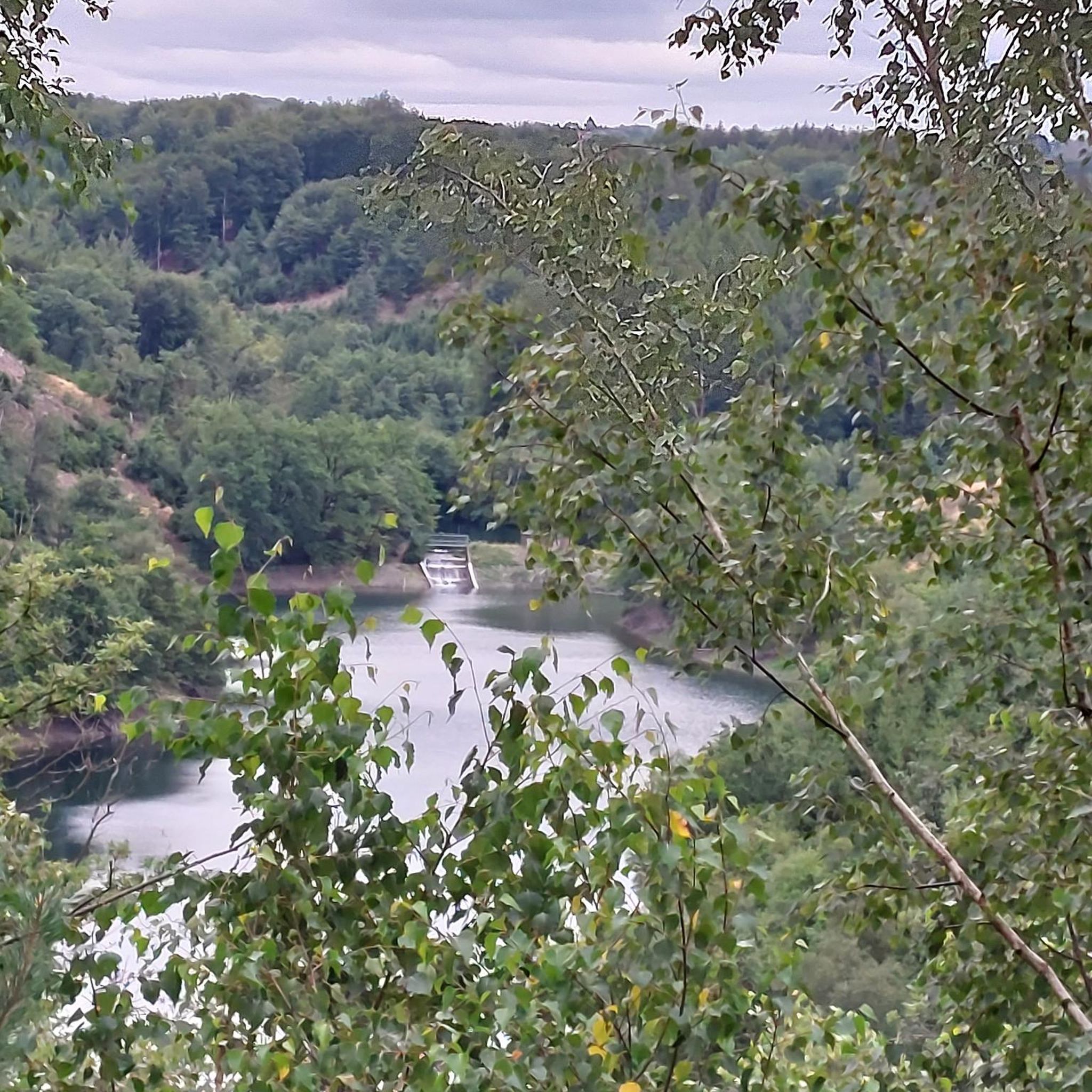
Gravel biking around Belm
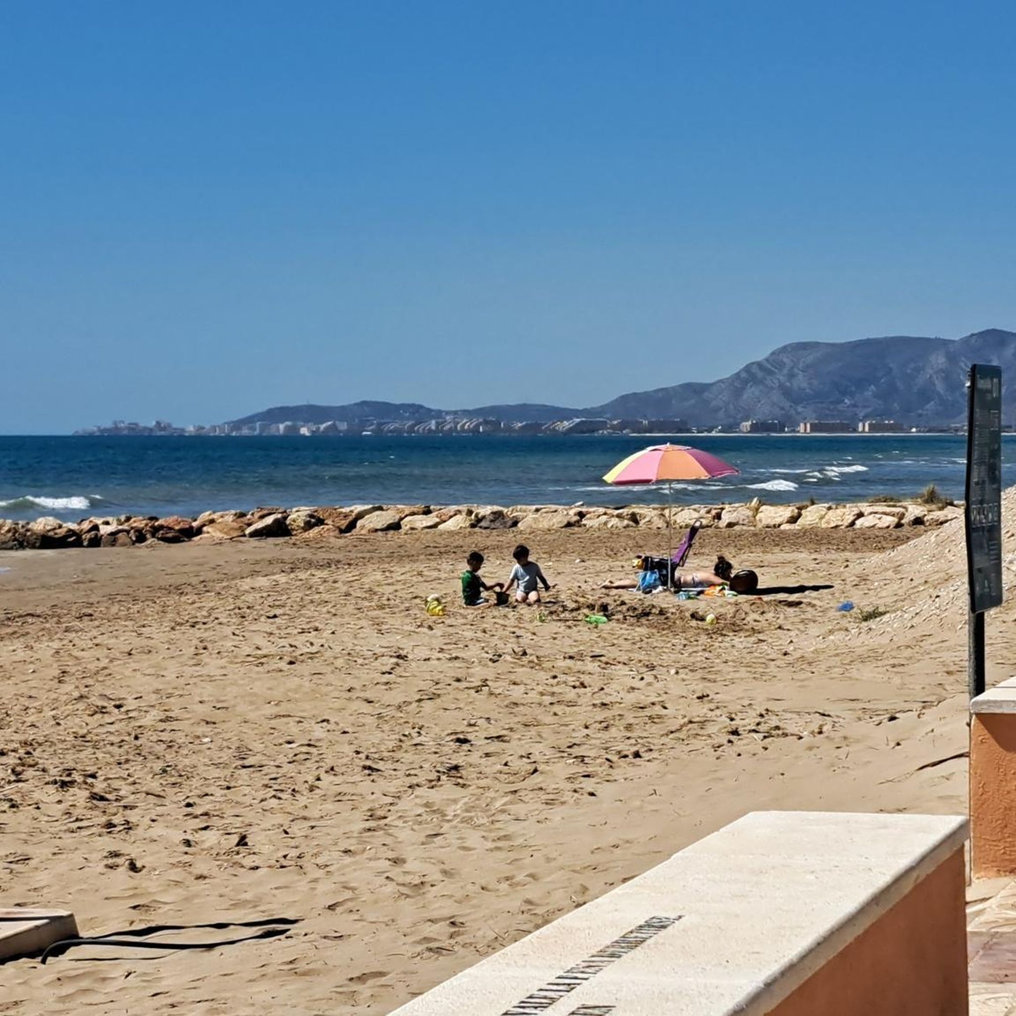
Gravel biking around Wallenhorst
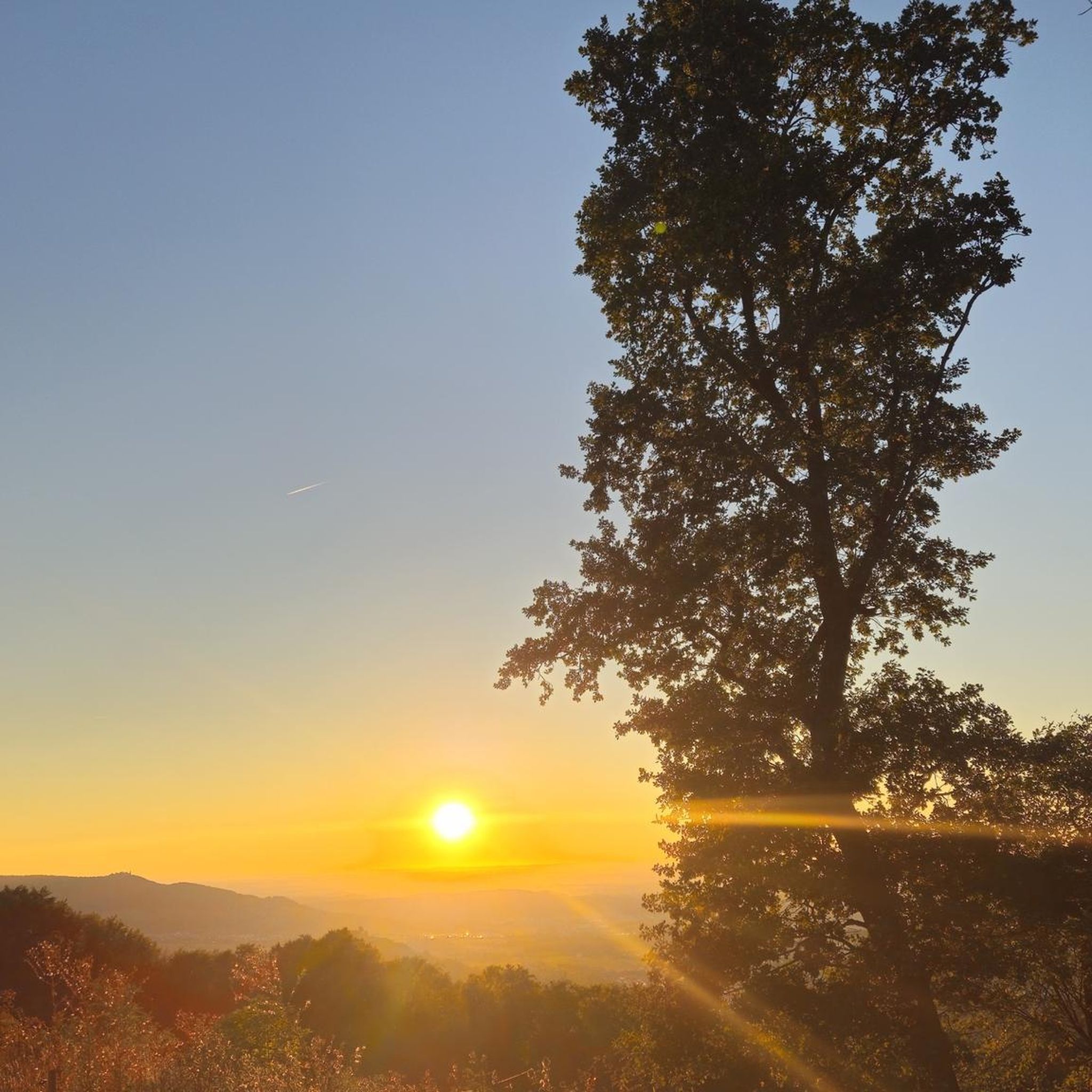
Gravel biking around Gattberg
Gravel biking around Rubbenbruch-See
Gravel biking around Bissendorf
Gravel biking in Natur- Und Geopark Terra.Vita
Gravel biking around Ostercappeln

Gravel biking around Hilter
Gravel biking around Bramsche

Gravel biking around Melle
Other adventures around Osnabrück


Tips from the Community

The east side is better than the west side.
0
0

There are many benches along the Mittellandkanal as resting places.
0
0
Easy-to-ride cycle path
0
0

The Mittelland Canal (MLK) is a federal waterway[2] and, at 325.3 kilometers, the longest artificial waterway in Germany. Including side and connecting canals, the length is 392 km. It connects the Dortmund-Ems Canal with the Weser, the Elbe, and the Elbe-Havel Canal. In a broader sense, it is part of a connection between the Rhine and the Oder. In the west, the connection to the Rhine is established via the Dortmund-Ems Canal and the Rhine-Herne Canal or the Wesel-Datteln Canal. In the east, the Elbe-Havel Canal, the Untere Havel-Wasserstraße, and the Havel-Oder-Wasserstraße connect the Mittelland Canal with the Oder. In a European dimension, it enables a connection between the Netherlands, Belgium, Luxembourg, France, and Switzerland on the one hand, and Poland and the Czech Republic on the other. The canal is also known by the names Ems-Weser-Kanal, Weser-Ems-Kanal, Weser-Elbe-Kanal, Rhein-Elbe-Kanal, Elbe-Weser-Ems-Kanal, or Ems-Weser-Elbe-Kanal. These are old or regional designations that are now rarely used.
0
0

Here, almost all of the forest paths are open to bicycles and are also easy to cycle on.
0
0

Here you cross the Mittelland Canal. If you have time, you can observe many ships here.
4
0
In Eversburg, the old Roman Bridge crosses the Alte Hase River as a road bridge. A new bridge for the bicycle path has been built next to it.
2
0
A beautiful bridge to cross the Hase.
3
0
Frequently Asked Questions
What kind of terrain can I expect on gravel bike trails around Osnabrück?
Gravel biking around Osnabrück offers a diverse landscape, characterized by the rolling hills of the Teutoburg Forest and the Wiehen Hills. You'll encounter a mix of wide forest paths, narrower trails, and scenic riverside paths along the Hase River. The region's position within the TERRA.vita Nature and Geopark means varied topography, including some challenging ascents and unique geological formations like those found near the Piesberg.
Are there any long-distance gravel routes for bikepacking near Osnabrück?
Yes, the region is well-suited for bikepacking. There are routes, such as a 250-kilometer digital route starting from Osnabrück's main station, which largely follows paved paths but includes significant elevation gains through the Teutoburg Forest. These routes offer opportunities for multi-day adventures with options for overnight stays.
What are some notable natural features or landmarks I can see along the gravel trails?
You can explore various natural features and landmarks. The Dissen telecommunications tower, Hermannsturm on the Dörenberg, and Beutling Observation Tower offer great viewpoints. The Piesberg Culture and Landscape Park features a mountain made of carbon and rocks, with an 8-kilometer circular trail around an active quarry. You'll also find picturesque riverside paths along the Hase River and can visit the tranquil Green Lake.
Are there any circular gravel bike routes available?
Yes, many gravel routes around Osnabrück are designed as loops. For example, the Osnabrück Branch Canal – View of the River Hase loop from Ostercappeln offers a moderate 37-mile ride. Another option is the Forest path through Heger Holz – Niedringhaussee loop from Osnabrück Altstadt, which is about 21.8 miles long.
What is the best time of year for gravel biking in Osnabrück?
The region offers attractive cycling throughout the seasons. Spring brings vibrant flowers to areas like the Freeden Nature Reserve, while summer provides lush green landscapes. Autumn offers beautiful foliage in the forests. Winter conditions can vary, so it's advisable to check local weather forecasts and trail conditions before heading out during colder months.
What is the general difficulty level of gravel biking in Osnabrück?
The routes in Osnabrück cater to various ability levels. You'll find moderate rides suitable for most cyclists, as well as more challenging routes that require good fitness and advanced riding skills, some even necessitating pushing your bike through certain segments. Overall, there are 250 routes, with 57 easy, 118 moderate, and 75 difficult options.
Are there any family-friendly gravel routes around Osnabrück?
While specific 'family-friendly' designations aren't always explicit for gravel, many of the less challenging routes with wider forest paths and riverside sections along the Hase River could be suitable for families. Look for routes categorized as 'easy' or 'moderate' and check their elevation profiles for gentler terrain.
How can I access gravel trails using public transport in Osnabrück?
Osnabrück's main station (Hauptbahnhof) serves as a good starting point for many routes, including bikepacking tours. Several routes, such as the Am Dillbach bike path – Apple Orchard Trail loop, begin directly from Osnabrück Hauptbahnhof, making them accessible via public transport.
What do other gravel bikers say about the trails in Osnabrück?
The gravel biking routes around Osnabrück are highly rated by the komoot community, with an average score of 4.4 stars from over 500 reviews. More than 2,000 gravel bikers have used komoot to explore the varied terrain, often praising the diverse landscapes, from rolling hills to scenic river paths, and the well-maintained network of trails.
Are there any routes that offer views of the River Hase or the Osnabrück Branch Canal?
Yes, several routes provide scenic views of these waterways. The View of the River Hase – Osnabrück Branch Canal loop from Osnabrück Hauptbahnhof is a moderate 48.9 km route that offers picturesque vistas. Another option is the View of the River Hase – Osnabrück Branch Canal loop from Osnabrück Altstadt, a longer 67 km ride.
Where can I find places to eat or drink along the gravel routes?
While specific cafes or pubs aren't listed for every route, Osnabrück and its surrounding villages offer various options. For example, the Kronensee lido – Schelenburg Castle loop passes by Kronensee, which is a popular spot that may have facilities. Many routes also pass through or near towns where you can find local establishments.
Most popular routes around Osnabrück
Most popular attractions around Osnabrück

Get inspired with the komoot mobile app


Didn’t find what you were looking for?
Check out more Gravel rides throughout Osnabrück below and find the perfect route in your destination.
Explore more
Browse the best Gravel rides in other regions.
