The best road cycling routes around Jachenau
4.6
(824)
16,518
riders
121
rides
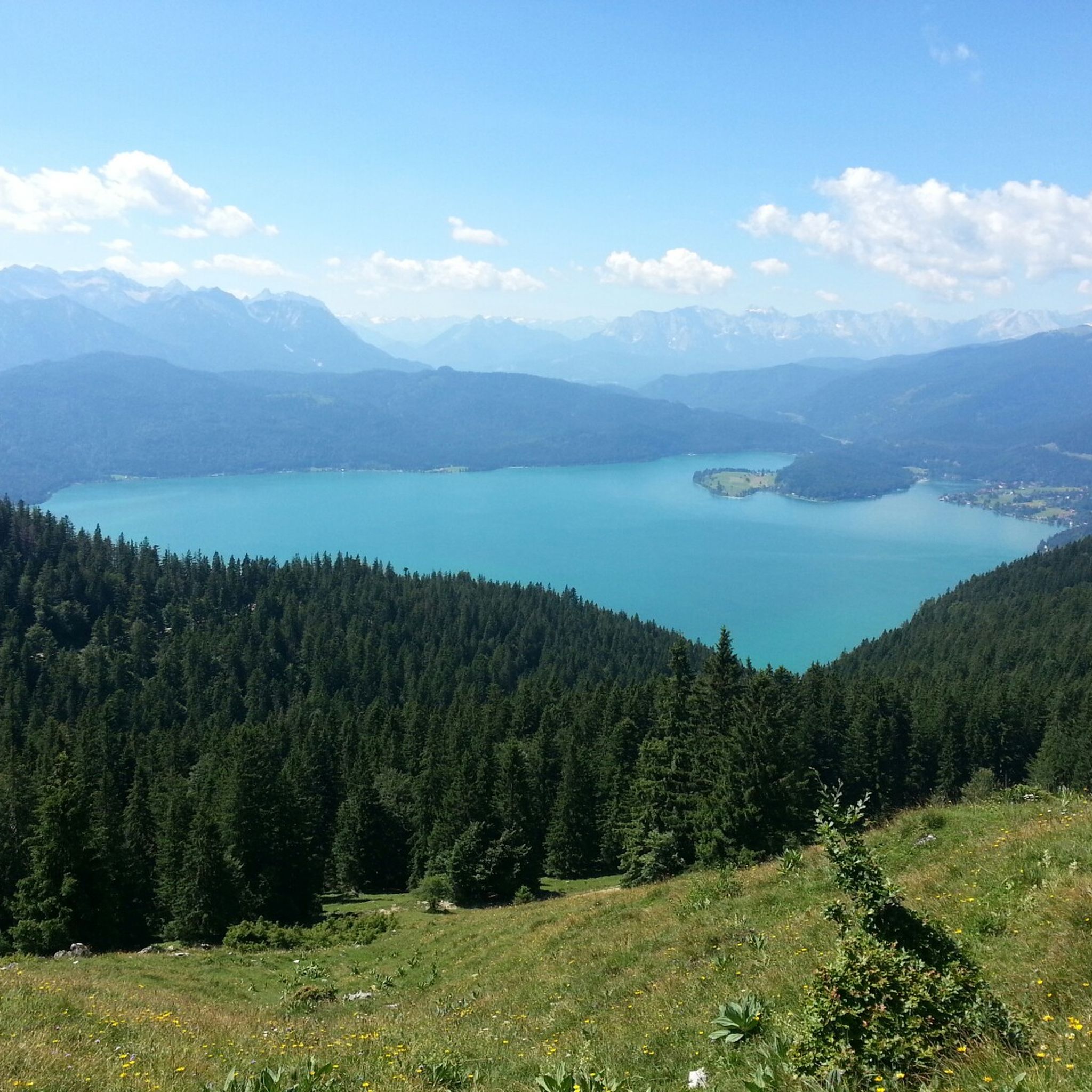
Road cycling routes around Jachenau are situated in a serene high valley within the Bavarian Prealps, offering diverse terrain for cyclists. The region features a blend of meadows, forests, and impressive mountain backdrops, with key natural highlights including Walchensee, Kochelsee, and the Sylvenstein Reservoir. Cyclists can expect mostly well-paved surfaces, with routes ranging from easy to difficult, catering to various fitness levels.
Best road cycling routes around Jachenau
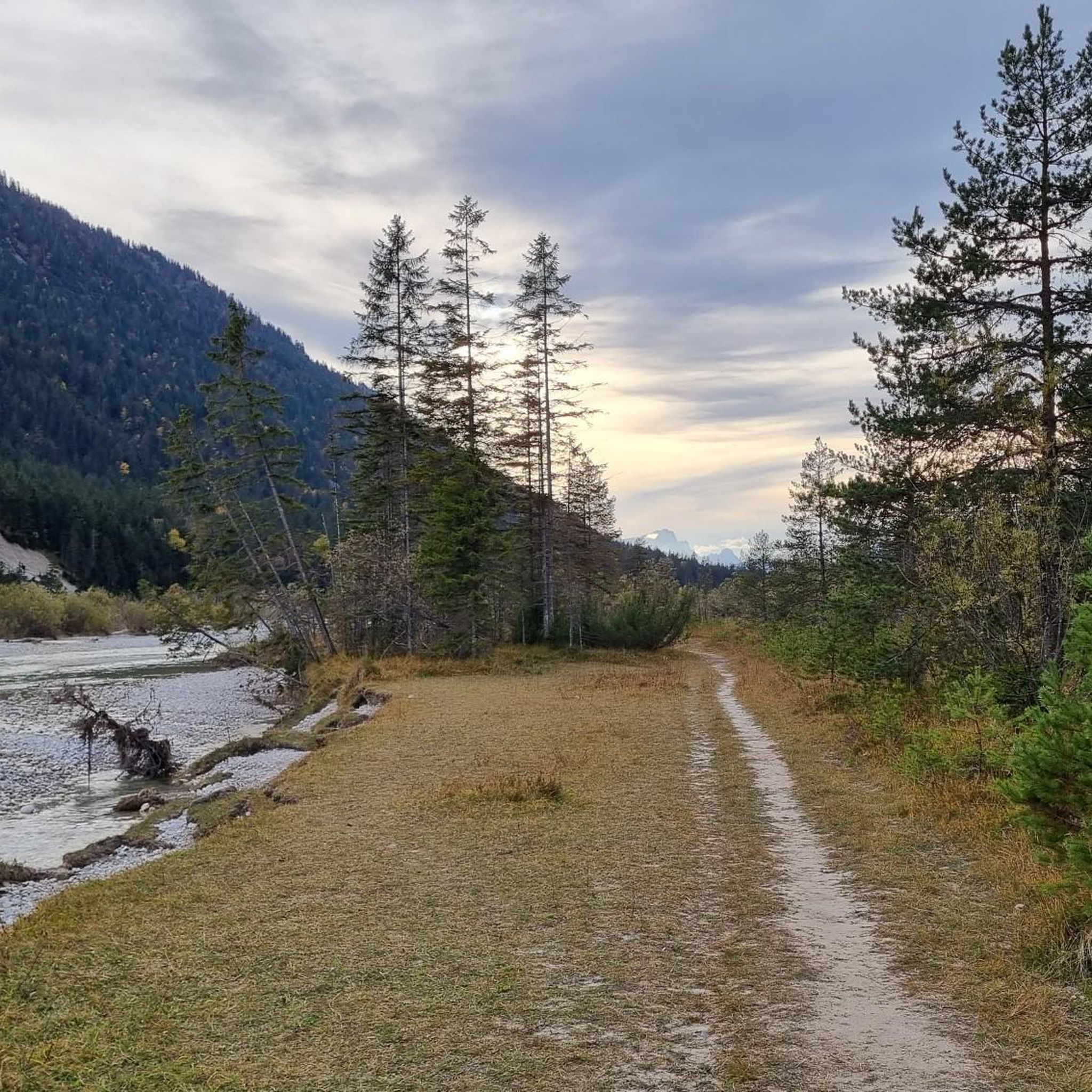
- The most popular road cycling route is View of the wild Isar…
Last updated: October 8, 2026
4.8
(42)
741
riders
88.6km
04:01
910m
910m
Hard road ride. Very good fitness required. Mostly well-paved surfaces and easy to ride.
4.7
(27)
407
riders
40.1km
01:38
220m
220m
Easy road ride. Great for any fitness level. Mostly well-paved surfaces and easy to ride.

4.9
(13)
228
riders
100km
04:19
780m
780m
Moderate road ride. Good fitness required. Mostly well-paved surfaces and easy to ride.
4.9
(10)
152
riders
43.9km
01:57
440m
440m
Moderate road ride. Good fitness required. Mostly well-paved surfaces and easy to ride.
3.5
(2)
138
riders
47.8km
02:19
650m
650m
Moderate road ride. Good fitness required. Mostly well-paved surfaces and easy to ride.
Get access to more routes and recommendations from other explorers.
Already have an account?
Our route recommendations are based on thousands of hikes, rides, and runs completed by other people on komoot.
Start today with a free account
Your next adventure awaits.
Popular around Jachenau

The "Dream Path" hiking trail – From Munich to Venice in 28 stages
The Max Trail — across the Alps from West to East
Marvin Route – an Alpine crossing for advanced cyclists

33 lakes for sunny weekends
Stadt aus, Natur an um München – Mit Magnesium-Diasporal®
Zug um Zug: Alpentouren mit Öffis
Hiking around Jachenau
Cycling around Jachenau
MTB Trails around Jachenau
Mountain Hikes around Jachenau
Other adventures around Jachenau


Tips from the Community

From Kochelsee to its mouth in the Isar It leaves the lake on its northern edge west of Kochel, passes Benediktbeuern and Penzberg and there definitively leaves the northern foothills of the Bavarian Alps. It still flows through Eurasburg and flows into the Isar north of Wolfratshausen in the Auwald Pupplinger Au. Source https://de.wikipedia.org/wiki/Loisach
2
0
From the source to the Bavarian border The Loisach rises in the state of Tyrol between the Lechtal Alps in the west and the Mieminger Mountains in the east, below and northeast of the Fern Pass. Its sources are located in the municipality of Biberwier, near the Mittersee lake, close to the B 179. From there, its water flows northwards through the Ehrwalder Becken and then along the B 187 through Ehrwald and westwards past the Zugspitze to the German border. From Garmisch-Partenkirchen to Kochelsee On the Bavarian side, it first passes Griesen in a northeasterly direction and then flows past Grainau to Garmisch, the largest district of Garmisch-Partenkirchen. Afterwards, it continues north between the Ammergau Alps in the west and the Estergebirge in the east. Via Farchant, Oberau and Eschenlohe, as well as past Ohlstadt and Murnau, the Loisach reaches Großweil, where it turns southeast and flows into the western part of Kochelsee near Schlehdorf, north of the Herzogstand. Source https://de.wikipedia.org/wiki/Loisach
3
0
The name is based on the Indo-Germanic root *leubʰ, meaning 'dear'. It is derived with an s as a suffix. The name refers to the pleasant course of the river.[3] Earlier name forms are Liubasa (1003), Lyubasa (ca. 1052), Liubisaha (1148–1155), Livbisaha (12th century), Liubsaha (1258), Leusach (1332), Leusach (1348), Lewsach (1424), Loysach (1536) and finally Loisach in 1553.[4] Source https://de.wikipedia.org/wiki/Loisach
3
0
The Loisach is a 113.2 km[1] long, south-southwesterly and left tributary of the Isar in Austria and Germany. It originates north of the Fern Pass in Tyrol and flows into the Isar after a northeasterly course near the Bavarian town of Wolfratshausen. Source https://de.wikipedia.org/wiki/Loisach
3
0

Simply fantastic, no matter where you are at the lake.
0
0

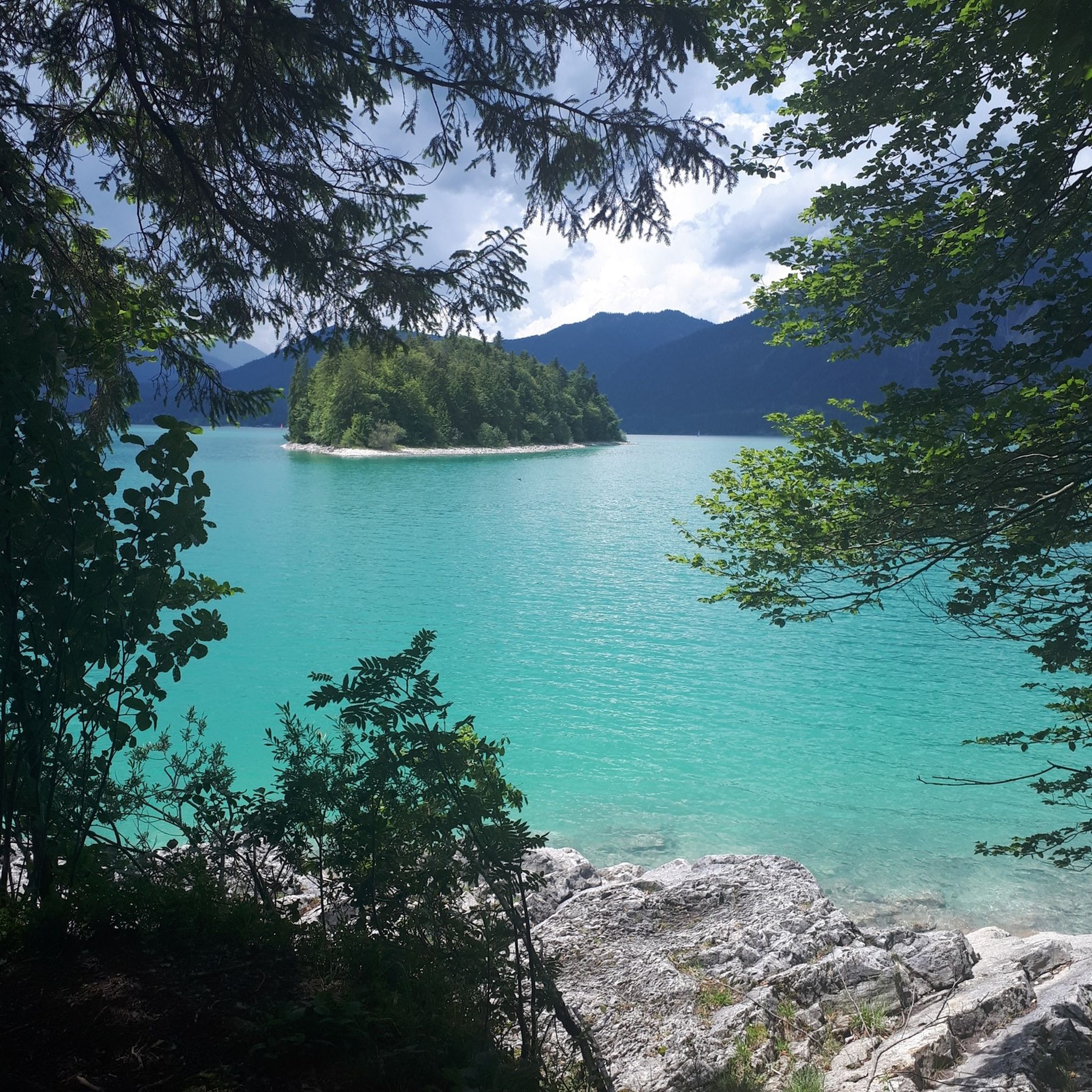
Wonderful reservoir with deep turquoise-blue water!
0
0

Wonderful view of the Kochelsee and great trail through the forest, although partly very steep
1
0
Frequently Asked Questions
How many road cycling routes are available around Jachenau?
There are over 120 road cycling routes around Jachenau, catering to various skill levels. You'll find approximately 40 easy routes, over 70 moderate routes, and 10 challenging options.
What kind of terrain can I expect when road cycling in Jachenau?
Jachenau offers varied terrain, from tranquil valley roads with traditional farmhouses to routes around stunning lakes like Walchensee and Kochelsee, and challenging climbs into the Bavarian Prealps. Most routes feature well-paved surfaces, making them enjoyable for road cyclists.
Are there any easy road cycling routes suitable for beginners or a relaxed ride?
Yes, Jachenau has nearly 40 easy road cycling routes. A great option for a gentler ride is the Unterau–Großweil Connector – Benediktbeuern Abbey loop from Kochel am See, which is about 40 km long and passes by the historic Benediktbeuern Abbey.
What are some challenging road cycling routes in the Jachenau area?
For experienced cyclists seeking a challenge, Jachenau offers several difficult routes. The View of the wild Isar River – Sylvenstein Reservoir loop from Fall is a demanding 88.6 km route with significant elevation gain, offering expansive views of the wild Isar River and the Sylvenstein Reservoir.
Are there any scenic loop routes around the lakes?
Absolutely. The region is known for its beautiful lakes. You can enjoy a scenic loop like the South Shore of Walchensee – Walchensee loop from Jachenau, which covers over 100 km and takes you through the stunning Walchensee area.
What natural features or landmarks can I see along the road cycling routes?
Road cycling routes in Jachenau often pass by stunning natural features and landmarks. You can enjoy views of Walchensee and Kochelsee, the Sylvenstein Reservoir, and the wild Isar River. Notable mountain peaks like Herzogstand and Jochberg provide impressive backdrops. The Jachenau waterfall is another natural point of interest.
What do other road cyclists say about the routes in Jachenau?
The road cycling routes in Jachenau are highly regarded by the komoot community, with an average rating of 4.6 stars from over 600 reviews. Cyclists often praise the region's serene high valley setting, the clear waters of Walchensee and Kochelsee, and the diverse options for all ability levels.
Are there any routes that pass by historical or cultural sites?
Yes, some routes offer cultural highlights. For instance, the Unterau–Großweil Connector – Benediktbeuern Abbey loop from Kochel am See takes you past the historic Benediktbeuern Abbey, offering a blend of cycling and cultural exploration.
Can I find routes that offer views of the wild Isar River?
Yes, several routes provide views of the wild Isar River. The View of the wild Isar River – Sausender Graben Wooden Bridge loop from Walchensee is a moderate 43.87 km route that allows you to experience this natural beauty.
What is the best time of year for road cycling in Jachenau?
Jachenau is excellent for road cycling from spring through autumn. The region's varied terrain and well-maintained paths are enjoyable in milder weather, allowing you to fully appreciate the picturesque landscapes of meadows, forests, and mountain backdrops.
Are there any longer road cycling tours that explore more of the region?
For longer tours, routes like the 'Bike Trail Lenggries – Jachenau – Walchensee – Sylvensteinsee' cover significant distances, taking riders through the beautiful landscapes of Jachenau towards Walchensee and the Sylvenstein Reservoir. These routes often span around 74 km or more.
Where can I find mountain views while cycling?
The Jachenau region is nestled in the Bavarian Prealps, so mountain views are a constant companion on many routes. For particularly expansive views, routes around Walchensee and those leading towards peaks like Herzogstand or Jochberg offer breathtaking panoramas of the Alps.
Most popular routes around Jachenau
Most popular attractions around Jachenau

Get inspired with the komoot mobile app


Explore more
Browse the best Road cycling routes in other regions.
