The best walks and hikes around Islisberg
4.6
(4586)
42,884
hikers
1,028
hikes
Hiking trails near Islisberg, Switzerland, traverse a landscape characterized by significant forested areas and extensive agricultural land. The region's focal point is the Islisberg mountain, which reaches an elevation of 1,949 feet (594 meters). This combination provides hikers with diverse scenery, from shaded woodland paths to open fields, offering views of the surrounding countryside.
Best hiking trails around Islisberg
- The most popular hiking route is Hedinger Dorfbach Waterfall – Bisliker Pond loop from Hedingen, a 4.2 miles (6.8 km)…
Last updated: September 30, 2026
4.8
(12)
38
hikers
6.77km
01:56
160m
160m
Easy hike. Great for any fitness level. Easily-accessible paths. Suitable for all skill levels.
5.0
(6)
34
hikers
9.70km
02:34
90m
90m
Moderate hike. Good fitness required. Easily-accessible paths. Suitable for all skill levels.

5.0
(1)
10
hikers
10.6km
03:04
260m
260m
Moderate hike. Good fitness required. Easily-accessible paths. Suitable for all skill levels.
4.0
(5)
41
hikers
5.57km
02:03
320m
320m
Hard hike. Good fitness required. Sure-footedness, sturdy shoes and alpine experience required.
5.0
(2)
17
hikers
27.3km
07:38
530m
530m
Hard hike. Very good fitness required. Easily-accessible paths. Suitable for all skill levels.
Get access to more routes and recommendations from other explorers.
Already have an account?
Our route recommendations are based on thousands of hikes, rides, and runs completed by other people on komoot.
Start today with a free account
Your next adventure awaits.
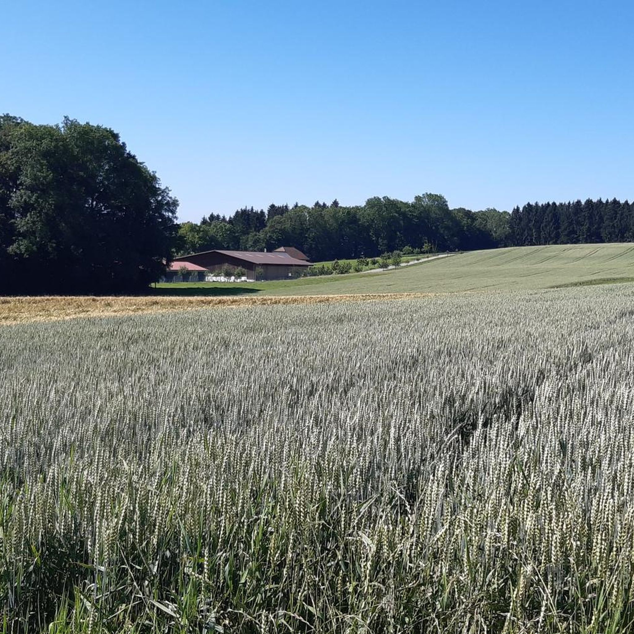
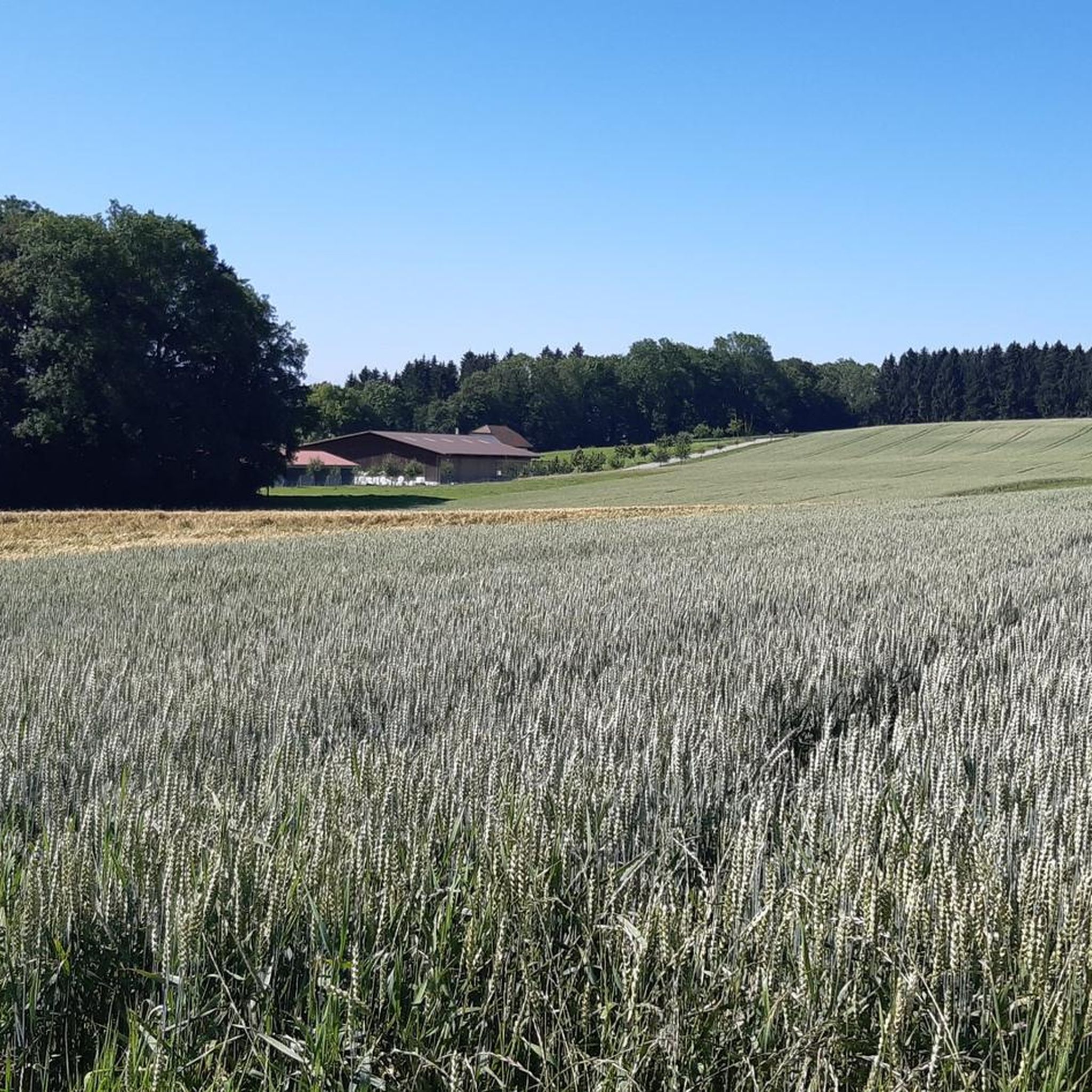
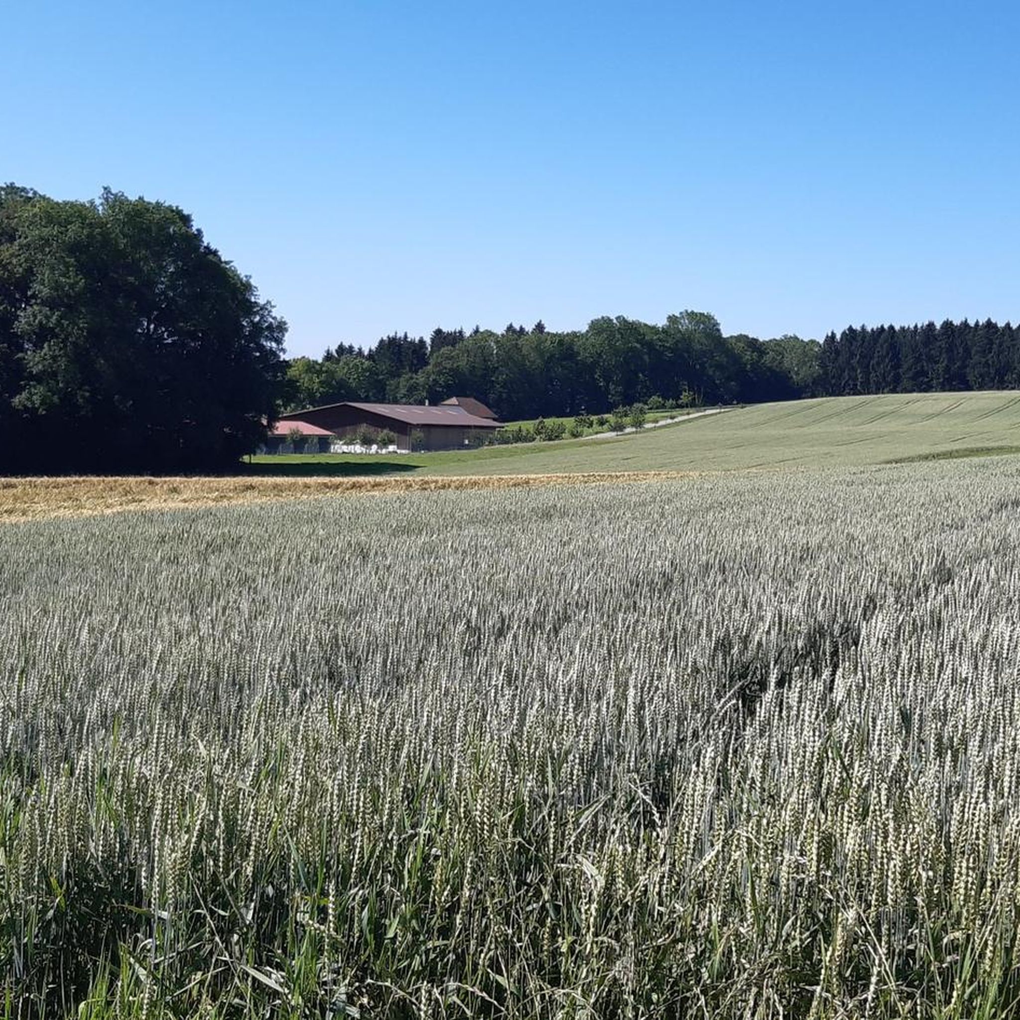

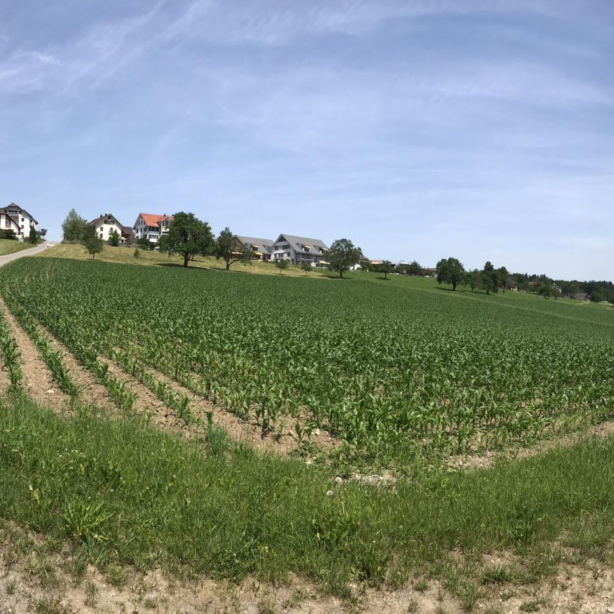
Tips from the Community


The pond is a bit hidden, especially in summer when the greenery takes over. It is located in a nature reserve and has a small circular path directly around the pond.
0
0

The Türlersee is a wonderful place for a little break in nature. The lake can be circled on varied paths and always offers beautiful views of the water. Two officially marked bathing spots invite you to cool off on warm days. Those who prefer to swim in a lido will find a paid option directly at the campsite. There is also a self-service restaurant there for a pleasant break. Numerous barbecue areas, benches, and jetties leading into the lake invite you to linger and observe nature. Thanks to the many shady sections, the Türlersee is a worthwhile destination even on hot days.
0
0
Small pond, somewhat hidden by bushes and trees in summer, but there is a barbecue area that invites you to linger.
0
0

Open May until the first or second weekend in September, depending on the year. Admission fees 2026: Adults (16+) CHF 5 Children (6-15) CHF 3 Season pass Adults (16+) CHF 70 Children (6-15) CHF 35 If you are a guest of the camping: no extra charge.
0
0

Did you know that the lake was formed by a rockslide? I didn't! Check the description under the video or on Wikipedia, that's where I got the information. https://youtu.be/QWDeZaNdCsY
0
0


Frequently Asked Questions
How many hiking trails are available around Islisberg?
There are over 1,000 hiking routes around Islisberg, offering a wide range of options for all skill levels. These include easy strolls through fields, moderate paths along rivers, and more challenging ascents through wooded areas.
What kind of terrain can I expect on hikes in Islisberg?
Hikes in Islisberg feature a diverse landscape, primarily characterized by extensive forested areas and open agricultural land. You can expect shaded woodland paths, open fields with panoramic views, and trails leading up the Islisberg mountain itself, which reaches an elevation of 594 meters (1,949 feet).
Are there family-friendly hiking options in Islisberg?
Yes, Islisberg offers several family-friendly trails. The region's mix of forests and fields provides accessible paths suitable for various ages. The "Islisberg Wald-Schlaufe" is specifically noted as a family-friendly, multi-use trail with a green difficulty rating.
Are there any circular hiking routes in the Islisberg area?
Yes, many routes in the Islisberg area are designed as loops, allowing you to start and end at the same point. For example, the Hedinger Dorfbach Waterfall – Bisliker Pond loop from Hedingen is a popular circular trail. The "Ringstrasse" trail around Islisberg mountain also suggests a scenic circular route.
What are some notable natural features or landmarks to see while hiking near Islisberg?
While hiking near Islisberg, you can discover several natural features and landmarks. The Dominiloch Footbridge over the Reuss River offers scenic views, and you might encounter features like the Hedinger Dorfbach Waterfall or Bisliker Pond. The region also features several lakes such as Lake Türler and Flachsee.
What do other hikers enjoy most about hiking in Islisberg?
The hiking trails around Islisberg are highly rated by the komoot community, with an average score of 4.6 stars from over 3,800 reviews. Hikers often praise the tranquil rural Swiss landscape, the diverse scenery of dense forests and open agricultural fields, and the panoramic views available from higher elevations.
Are there any routes that feature waterfalls?
Yes, one notable route that includes a waterfall is the Hedinger Dorfbach Waterfall – Bisliker Pond loop from Hedingen. This easy 6.8 km trail takes about 2 hours to complete and offers a pleasant experience with natural water features.
What are the typical durations for hikes in Islisberg?
Hikes in Islisberg vary in duration depending on the route and your pace. Many popular trails range from 2 to 3 hours, such as the Hedinger Dorfbach Waterfall – Bisliker Pond loop (approx. 1 hour 56 minutes) or the Hedinger Weiher – Bisliker Pond loop (approx. 3 hours). Longer, more challenging routes can take significantly more time.
Are there any viewpoints offering panoramic views in the Islisberg area?
Yes, from the summit of Islisberg mountain and along its trails, hikers are likely to encounter panoramic views of the local region and surrounding countryside. For more expansive views, the Uetliberg Summit Viewpoint and the Uetliberg Observation Tower are accessible nearby attractions.
What is the best time of year to go hiking in Islisberg?
Islisberg offers pleasant hiking conditions throughout much of the year. Spring and autumn provide comfortable temperatures and beautiful scenery with blooming flowers or vibrant fall foliage. Summer is also popular, though some trails might be warmer. Winter hiking is possible, but conditions can vary, especially on higher or less maintained paths.
Is there public transport access to hiking starting points in Islisberg?
Islisberg is a municipality in the canton of Aargau, Switzerland, and like many Swiss regions, it is generally well-connected by public transport. While specific starting points may vary, it's advisable to check local bus schedules to reach trailheads from nearby towns or train stations.
Are there options for longer, more challenging hikes around Islisberg?
Yes, while many trails are easy to moderate, there are options for more challenging hikes. For instance, the Lakeside beach at Türlersee – Hedinger Weiher loop from Bonstetten-Wettswil is a difficult 26.9 km route that involves significant elevation changes and takes over 7 hours to complete, offering a more strenuous experience.
Most popular routes around Islisberg
Most popular attractions around Islisberg

Get inspired with the komoot mobile app


Explore more
Browse the best Hikes in other regions.
