The 6 Most Amazing Peaks around Gräfelfing
Best mountain peaks around Gräfelfing are not traditional alpine summits. Gräfelfing, located west of Munich, features green landscapes and a relatively low average elevation of approximately 540 meters. The area offers opportunities for outdoor activities in a generally flat or gently rolling environment, rather than mountainous terrain. True mountain peaks, such as those in the Bavarian Alps, are situated about 90 kilometers south of Munich.
Best mountain peaks around Gräfelfing
- The most popular mountain peaks is Luitpoldhügel, a viewpoint…
Last updated: August 4, 2026
Olympic mountain
Highlight • Viewpoint
Showing Translation
Tip by

Pumuckl Fountain
Highlight • Monument
Translated by Google •
Tip by

Sign up now to discover places like this
Get recommendations on the best single tracks, peaks, & plenty of other exciting outdoor places.
Sign up for free
Baldehöhe – Munich's Highest Geographical Point
Highlight • Summit
Translated by Google •
Tip by

View of Olympiaberg
Highlight • Viewpoint
Translated by Google •
Tip by

Parsberg Summit and Geological Trail
Highlight • Summit
de.m.wikipedia.org/wiki/Parsberg_(Berg)
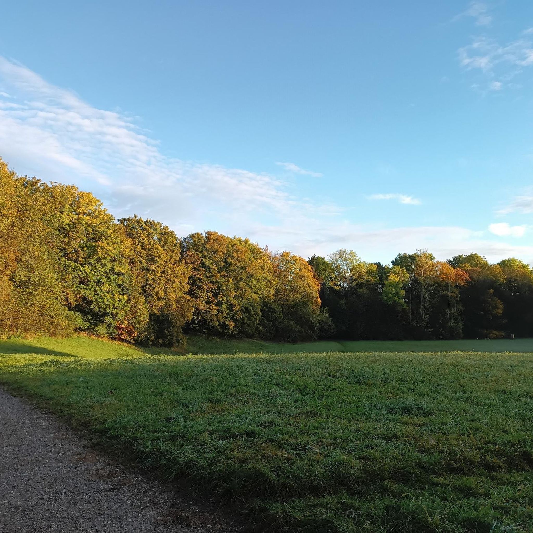
According to the map, somewhere here, in the middle of the forest, is the rather unspectacular highest point of the Parsberg.
Translated by Google •
Tip by

Sign up for free to discover even more peaks around Gräfelfing.
Sign up for free
Already have an account?
Start today with a free account
Your next adventure awaits.
Login or Signup
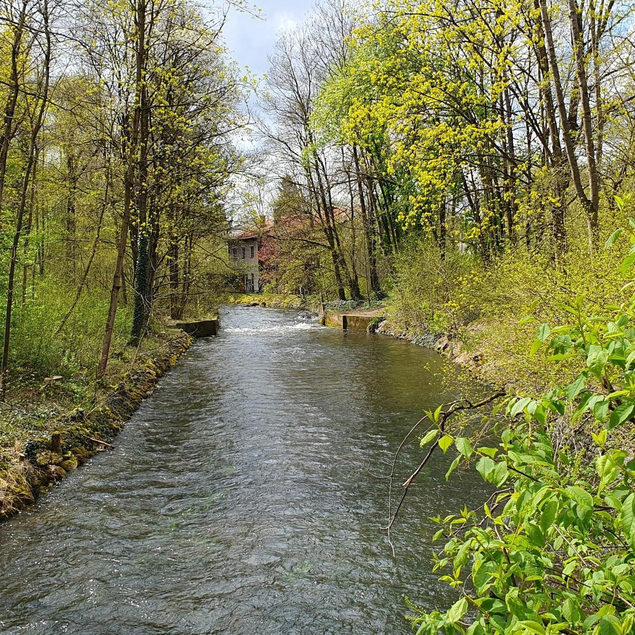
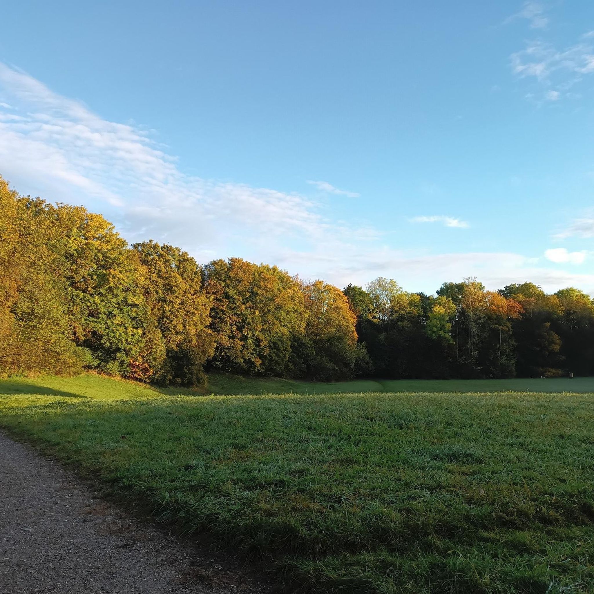
Tips from the Community

The Olympiaberg (Olympia Hill) is a rubble hill in Munich's Olympic Park. As an artificial elevation in the otherwise flat Munich gravel plain, the hill, at 565.1 meters above sea level, is quite prominent, offering views as far as the Alps and the Olympic Stadium. History and Description The hill was originally created between 1947 and 1958 from the rubble of Munich's bombings during World War II and is therefore also known as the "Great Rubble Hill" (in contrast to the Small Rubble Hill in Luitpoldpark). It was raised from 56 meters to 60 meters using the spoil from the construction of the U3 subway line, known as the "Olympia Line," and reshaped according to the designs of landscape architect Günther Grzimek by 1972 as part of the Olympic Park. The aim was to create a green space accessible to all segments of the population. The hill was originally created between 1947 and 1958 from the rubble of Munich's bombings during World War II and is therefore also called the "Great Rubble Hill" (Großer Schuttberg) (in contrast to the "Little Rubble Hill" in Luitpoldpark). It was raised from 56 meters to 60 meters using the spoil from the construction of the "Olympia Line" U3 subway line and reshaped by landscape architect Günther Grzimek as part of the Olympic Park by 1972. The goal was to create a green space accessible to all segments of the population. On Olympiaberg (Olympic Hill) are two memorials to the civilian victims of air raids during World War II: a crucifix erected in 1960 southeast of the summit and the "Schuttblume" (Rubble Flower) memorial, erected in 1972. After the rubble hill had already been used for skiing and ski lessons in the 1950s and 1960s, a parallel slalom city event was held on Olympiaberg at the beginning of 2011 as part of the Alpine Ski World Cup. The attempt to hold this slalom regularly was abandoned after three out of five events were canceled due to weather, with the cancellation of the event scheduled for January 1, 2016. In November 2014, the Olympia-Alm Cross Run took place. The name refers to the Olympiaalm, Munich's highest-altitude beer garden. A 24-hour mountain bike race has also been held on Olympiaberg on several occasions. ... The mountain bike cross-country competitions took place at Olympiaberg during the 2022 European Championships. Source: https://de.wikipedia.org/wiki/Olympiaberg
1
0

a beautiful elevation in the Olympic Park
0
0

Wikipedia (Parsberg (Mountain), 2023-10-31): https://de.m.wikipedia.org/wiki/Parsberg_(Berg) According to the map, somewhere here, in the middle of the forest, is the rather unspectacular highest point of the Parsberg.
2
0

A fantastic view of the Olympic area. People meet for a sundowner, to listen to concerts, to end the evening... simply to relax
11
1

The small, red-haired goblin Pumuckl, a character by the author Ellis Kaut, is a kobold and invisible to everyone except for the master carpenter Eder (Gustl Bayrhammer), because Pumuckl once got stuck to a pot of glue in his workshop. Since then, Pumuckl has been living with Master Eder and hatching all sorts of pranks. The television series, which ran from 1982 to 1986, was directed by Ulrich König. Pumuckl's voice came from actor Hans Clarin. Source and more info https://www.filmtourismus.de/pumuckl/
1
0
Wikipedia (Olympiapark (Munich), 2022-10-27): https://de.m.wikipedia.org/wiki/Olympiapark_(München)#Olympiaberg FACEBOOK (Olympiapark Munich, 2022-10-27): https://www.facebook.com/Olympiapark/ Landesamt für Digitalisierung, Breitband und Vermessung (2025-04-06): https://ldbv.bayern.de/produkte/weitere/standorte/grp_muenchen.html “Geodetic reference point Munich on the highest elevation of the Olympiapark” https://ldbv.bayern.de/produkte/weitere/standorte.html List and overview of Geodetic Reference Points in Bavaria
16
3

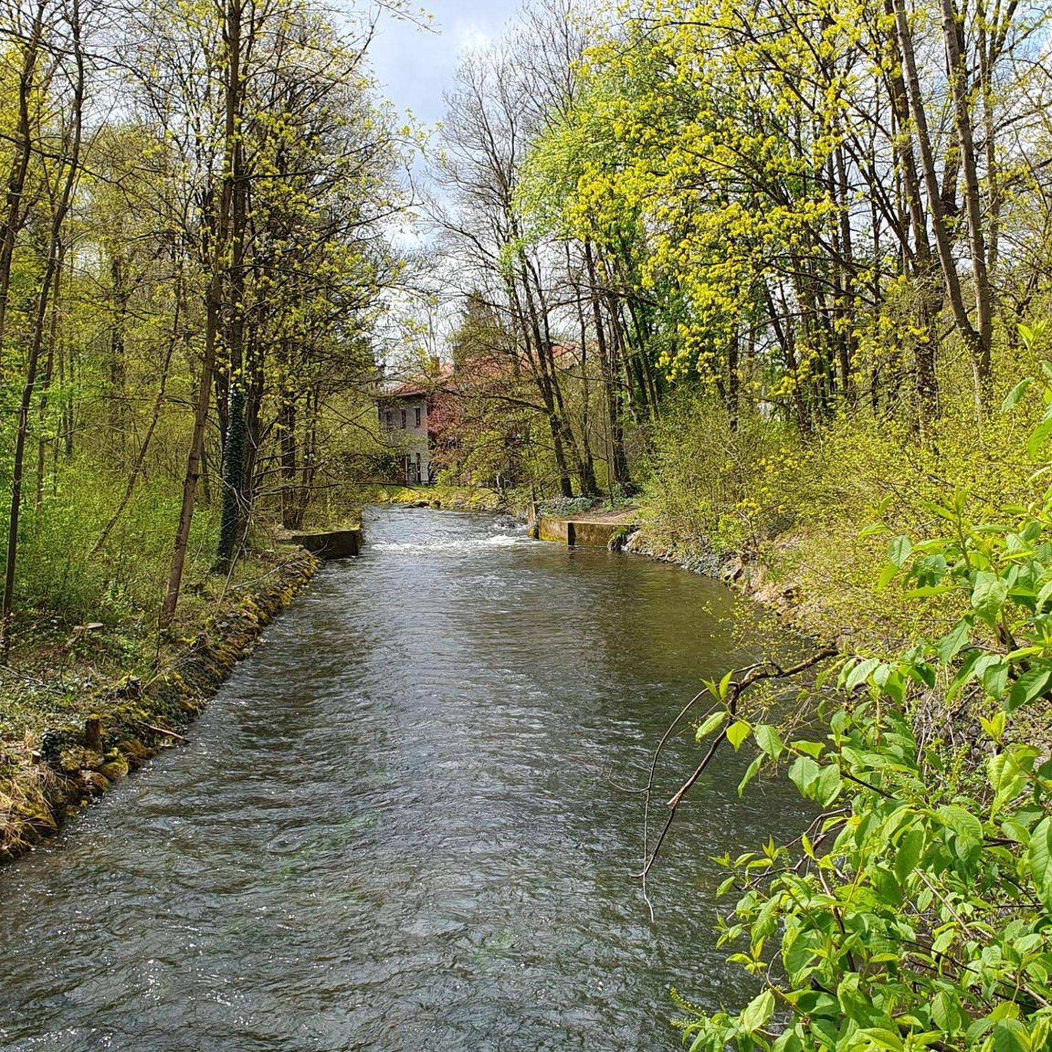
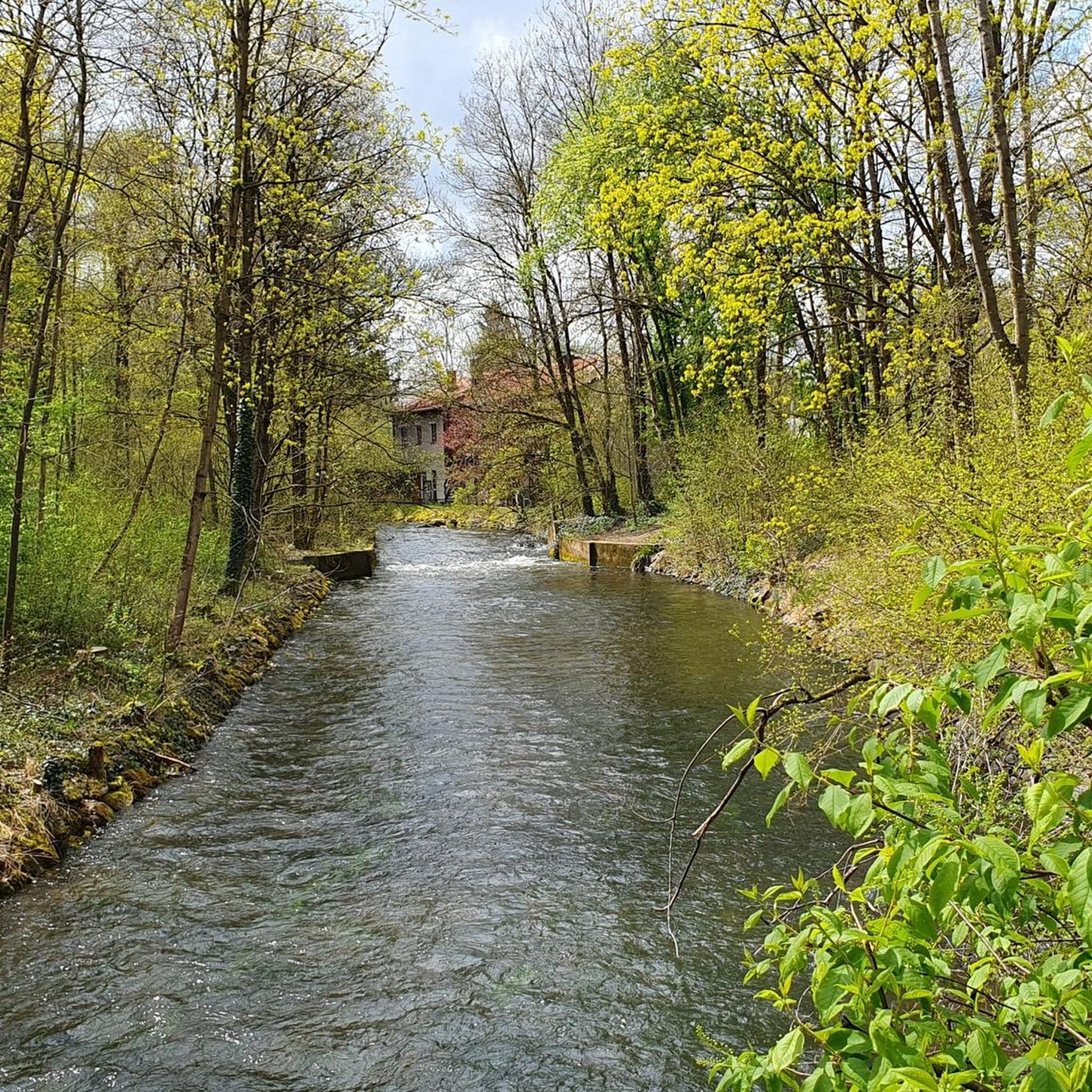
Apart from fields, the small Warnberg pond and views of the Warnberg estate, there is actually nothing to see here. The geographically highest natural point of the Munich city area is on the private property of the estate and is not accessible. On the way around the farm you can walk around the site at least once.
2
0

when you have left Solln, you have a beautiful view over the fields and the Forstenrieder Park
1
0
Frequently Asked Questions
What kind of 'mountain peaks' can I expect to find around Gräfelfing?
Gräfelfing is characterized by green landscapes and a generally flat or gently rolling environment, rather than traditional mountainous terrain. The 'peaks' in this area are typically raised hills, geographical high points, or artificial elevations that offer viewpoints over the surroundings. True mountain peaks, like those in the Bavarian Alps, are located approximately 90 kilometers south of Munich.
Which are the most notable high points or viewpoints near Gräfelfing?
Among the most popular high points are Luitpoldhügel, a green hill created from post-WWII rubble offering a small viewing point, and Baldehöhe – Munich's Highest Geographical Point, which stands at 580.5 meters. Another interesting spot is Parsberg Summit and Geological Trail, a small mountain with a geological nature trail.
Are there any historical or cultural sites among these high points?
Yes, Luitpoldhügel is a significant historical site, as it was formed from the rubble of Munich after World War II and features a memorial cross. Baldehöhe is named after the Jesuit Jacob Balde and was historically used as a sentry post in the Middle Ages.
What natural features can I explore on these elevated spots?
While not alpine, these spots offer unique natural experiences. For instance, the Parsberg Summit features a geological nature trail within a forest. The area around Baldehöhe includes fields and the small Warnberg pond, though the highest point itself is on private property. The region generally offers green landscapes and proximity to the Würm River.
Are there family-friendly options for exploring the high points near Gräfelfing?
Many of the elevated points and viewpoints around Gräfelfing are considered family-friendly. Luitpoldhügel is popular for sledding in winter and offers easy ascents. Baldehöhe and Parsberg Summit are also suitable for families, often featuring gentle trails and natural exploration opportunities.
Can I access these high points using public transport?
Gräfelfing itself has good transport links to Munich, and many of these elevated points are within or close to urban areas, making them accessible by public transport. For example, the Olympic mountain is located within Munich's Olympic Park, easily reachable by public transport.
What is the best time of year to visit these elevated areas?
The elevated areas around Gräfelfing can be enjoyed year-round. Spring and summer are ideal for walking and cycling through the green landscapes. Autumn offers pleasant temperatures and colorful foliage. In winter, spots like Luitpoldhügel are popular for sledding, and clear days can offer views of the distant Alps.
What outdoor activities can I do near Gräfelfing's elevated points?
The Gräfelfing area, with its gently rolling terrain and proximity to the Würm River, is excellent for various outdoor activities. You can find numerous routes for mountain biking, road cycling, and touring. For example, explore MTB trails like the "View of the Würm River – Würmtal Cycle Path loop from Gräfelfing" or road cycling routes such as the "Cycle Path to Söcking – Starnberg Lakeside Promenade loop from Gräfelfing." You can find more details on these and other routes in the MTB Trails around Gräfelfing, Road Cycling Routes around Gräfelfing, and Cycling around Gräfelfing guides.
Are there specific cycling routes that pass by these high points?
While the high points themselves might not be directly on major cycling paths, many routes in the region offer views or pass nearby. For instance, cycling routes often follow the Würm River, providing access to the general area. You can explore routes like the "Würmtal Riverbank – Recreation area on the Würm loop from Gräfelfing" for scenic rides in the vicinity. Check the Cycling around Gräfelfing guide for detailed routes.
What kind of terrain should I expect when exploring the Gräfelfing area?
The terrain around Gräfelfing is generally flat to gently rolling. You'll encounter green landscapes, parks, and paths along the Würm River. While there are elevated points, they are typically modest hills rather than steep mountain ascents. This makes the area suitable for leisurely walks, cycling, and family-friendly outdoor activities.
What makes Luitpoldhügel a unique spot to visit?
Luitpoldhügel is unique because it's an artificial hill created from the rubble of Munich after World War II. Despite its origins, it's now a green, harmonious spot that serves as a small viewing point with a memorial cross on its summit. It's also a popular destination for sledding in winter and offers multiple fortified ascent paths, making it an interesting destination for runners.
Where is Munich's highest geographical point located, and what can I see there?
Munich's highest geographical point is Baldehöhe, located in the Solln district at 580.5 meters. While the exact highest point is on the private property of the Warnberg estate and not directly accessible, you can walk around the site. The area offers views of fields and the small Warnberg pond. It's primarily notable for its geographical significance rather than dramatic vistas.
Is there a 'mountain' with a nature trail near Gräfelfing?
Yes, the Parsberg Summit and Geological Trail is a small mountain featuring a geological nature trail. The highest point of the Parsberg is located within a forest, offering an opportunity to explore natural features and learn about the area's geology.
Most popular routes around Gräfelfing
Most popular attractions around Gräfelfing

Get inspired with the komoot mobile app


Explore more
See even more amazing summits around Gräfelfing with these guides:
