Carnegie State Vehicular Recreation Area
Carnegie State Vehicular Recreation Area
The best road cycling routes in Carnegie State Vehicular Recreation Area
104
riders
10
rides
Road cycling routes in Carnegie State Vehicular Recreation Area are characterized by rolling hills, steep canyons, and dry rocky washes, with elevations ranging from 650 to 1,750 feet above sea level. While the area is primarily known for off-highway vehicle recreation, road cycling routes often utilize the public roads surrounding the park. The landscape features a Mediterranean climate and diverse plant life, including blue oak and California poppies. Dedicated road cycling infrastructure is limited within the SVRA itself, with most…
Last updated: May 11, 2026
7
riders
44.7km
03:58
570m
570m
Cycle the Altamont Pass to Patterson Pass loop, a moderate 27.8-mile road ride near Livermore with challenging climbs and scenic wind farm v
8
riders
43.6km
02:03
580m
580m
Moderate road ride. Good fitness required. Mostly well-paved surfaces and easy to ride.

Sign up for free
17
riders
62.0km
04:28
760m
760m
Moderate road ride. Good fitness required. Mostly well-paved surfaces and easy to ride.
5
riders
46.4km
02:17
580m
580m
Moderate road ride. Good fitness required. Mostly well-paved surfaces and easy to ride.
4
riders
81.3km
03:36
660m
660m
Moderate road ride. Good fitness required. Mostly well-paved surfaces and easy to ride.
Get access to more routes and recommendations from other explorers.
Sign up for free
Already have an account?
Our route recommendations are based on thousands of hikes, rides, and runs completed by other people on komoot.
Start today with a free account
Your next adventure awaits.
Login or Signup
Popular around Carnegie State Vehicular Recreation Area

Tips from the Community

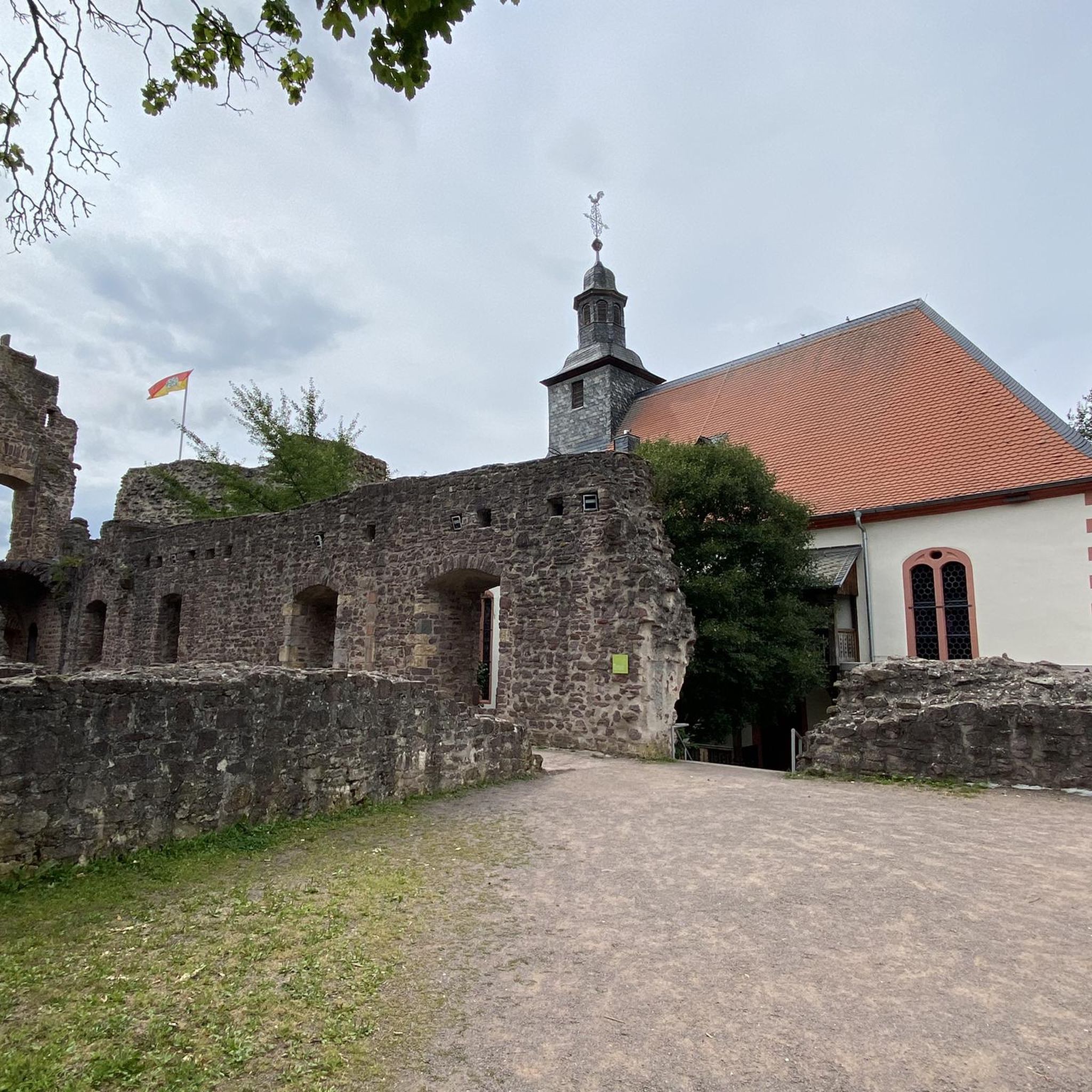
Altamont Pass, formerly Livermore Pass, is a low mountain pass in Northern California's Diablo Range, connecting Livermore and Tracy. Altamont Pass gained notoriety for hosting the Altamont Speedway from 1966 to 2008, site of the infamous 1969 Altamont Free Concert featuring The Rolling Stones. Additionally, it is known for the Altamont Pass Wind Farm, one of the earliest in the United States; you can see the large turbines over the rolling grass hills.
0
0

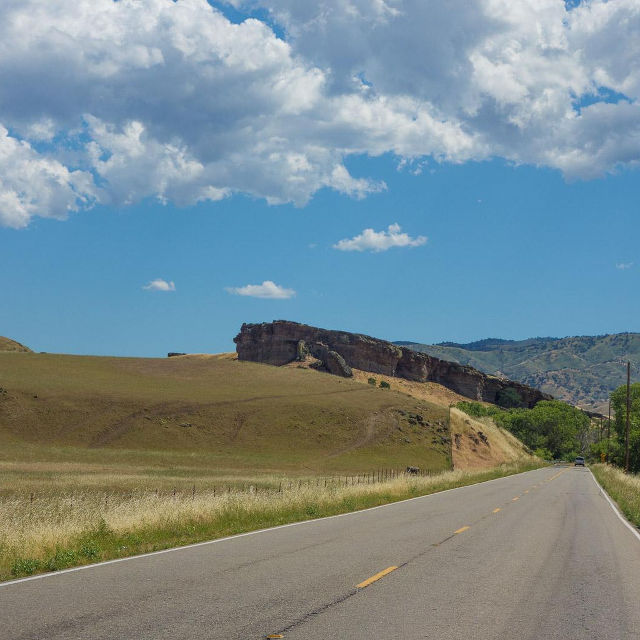
Corral Hollow Pass is at 1600 feet and once led to the mining town of Tesla. It was called "Pass of Good Winds" in Spanish, or "Portezuela de Buenos Ayres." Today, drivers often take this alternate route instead of I-580 during rush hour.
0
0
The California Aqueduct Bikeway is a paved trail that runs along parts of the California Aqueduct. The California Aqueduct, in total, spans 444 miles and was built as part of a $1.75 billion bond. This was passed by voters in 1960, and the aqueduct still brings water down south today.
0
0
Established in 1883, Wente Vineyards is the oldest continuously operated, family-owned winery in the United States. Visitors can go to the tasting lounge, where they provide a range of food and wine experiences.
0
0
Patterson Pass is in the middle of Patterson Pass Road, which is about 13 miles long. The road starts at Mines Road in Livermore and goes eastward over the approximately 1,600-foot Patterson Pass into San Joaquin County, where it terminates at Interstate 580. Be sure to hit the pass at the right time of the day, as heavy rush hour can be more difficult to manage.
1
0
Altamont Pass is dotted with windmills. Listen for the static electricity crackling sound they create while generating electrical power in northern California. The windmills are most actively spinning in the summertime.
0
0
The California Aqueduct Bikeway is a paved trail that runs along parts of the California Aqueduct. The California Aqueduct, in total, spans 444 miles and was built as part of a $1.75 billion bond. This was passed by voters in 1960, and the aqueduct still brings water down south today.
0
0

Perfectly level paved and partly gravel trail along parts of the California Aqueduct. The California Aqueduct, in total, spans 444 miles and was built as part of a $1.75 billion bond. This was passed by voters in 1960, and the aqueduct still brings water to Southern California today
5
0
Frequently Asked Questions
How many road cycling routes are available in Carnegie State Vehicular Recreation Area?
There are over 10 road cycling routes available in and around Carnegie State Vehicular Recreation Area. These routes primarily utilize public roads surrounding the park, as the SVRA itself is mainly geared towards off-highway vehicle recreation.
What is the terrain like for road cycling in this region?
Road cycling routes in the Carnegie SVRA region are characterized by rolling hills, steep canyons, and dry rocky washes. Elevations typically range from 650 to 1,750 feet above sea level, offering varied topography and challenging climbs. While the immediate SVRA is off-road focused, the surrounding public roads provide a diverse road cycling experience.
Are there routes suitable for beginners or advanced cyclists?
The routes in this area cater to moderate and difficult ability levels. For instance, the Livermore Century Ride is a challenging 100-mile route with significant elevation gain, while routes like the Altamont Pass – California Aqueduct Bikeway loop from Midway offer a moderate, yet engaging, experience.
What kind of natural features or wildlife can I expect to see while cycling?
The region boasts a surprising array of plant and animal life. You might spot raptors like red-tailed hawks and golden eagles, black-tailed deer, coyotes, and wild turkeys. The landscape features native plants such as blue oak, grey pine, and California poppies, with impressive displays of spring wildflowers. However, be aware that poison oak is also present.
Are there any historical landmarks or viewpoints along the road cycling routes?
While specific landmarks directly on the cycling routes are not detailed, the area itself holds historical significance with remnants of the early 20th-century Carnegie Brick and Pottery Company. The varied topography also offers scenic vistas, particularly from higher elevations like those found on routes traversing Altamont Pass and Patterson Pass.
What is the best time of year to go road cycling in Carnegie SVRA?
The region experiences a Mediterranean climate, with cool, wet winters and hot, dry summers. The spring and fall months generally offer the most pleasant conditions for road cycling, with milder temperatures and the chance to see spring wildflowers. Summers can be very hot, making early morning or late afternoon rides preferable.
Is parking available for road cyclists near the routes?
While the Carnegie SVRA itself has parking primarily for off-highway vehicles, road cycling routes in the area often start from points outside the immediate park boundaries, utilizing public roads. You would typically find parking in nearby towns or designated areas that serve these public road networks.
Are there any permits required for road cycling in this area?
Road cycling on public roads surrounding the Carnegie SVRA generally does not require specific permits. However, if you plan to enter the Carnegie State Vehicular Recreation Area itself, it is primarily an OHV park, and specific regulations and fees apply for vehicle use. For detailed information on the SVRA, you can visit the official California State Parks website: ohv.parks.ca.gov/carnegie.
Are there family-friendly road cycling options?
Given the moderate to difficult nature of most routes and the focus on public roads with varying traffic, dedicated family-friendly road cycling paths within the immediate vicinity of Carnegie SVRA are limited. Routes often involve significant elevation changes and distances, making them more suitable for experienced cyclists.
Can I bring my dog on road cycling routes?
Road cycling routes in this area primarily use public roads. While dogs are generally allowed on public roads, it's important to ensure they are safely secured and that you adhere to local leash laws. Within the Carnegie State Vehicular Recreation Area itself, specific rules for pets apply, typically requiring them to be on a leash and restricting them from certain areas. Always check local regulations.
Are there any loop road cycling routes available?
Yes, several popular loop routes are available. Examples include the Altamont Pass to Patterson Pass loop and the Corral Hollow Pass – Patterson Pass loop from Vasco Road, which offer circular journeys through the region's characteristic passes and varied terrain.
What are the typical distances and elevation gains for routes here?
Routes vary in distance and elevation. Moderate routes like the Altamont Pass – California Aqueduct Bikeway loop from Midway cover about 27 miles (43.6 km) with around 1,900 feet (579 m) of elevation gain. More challenging routes, such as the Livermore Century Ride, can extend to over 100 miles (160 km) with more than 5,300 feet (1,600 m) of climbing.
What do other road cyclists enjoy most about cycling in this area?
Cyclists frequently praise the challenging climbs and scenic vistas offered by the rolling hills and passes. The routes provide a good workout with rewarding views of the varied topography, making it a popular choice for those seeking a robust road cycling experience away from urban congestion.
Most popular routes in Carnegie State Vehicular Recreation Area

Get inspired with the komoot mobile app


Explore more
Browse the best Road cycling routes in other regions.
