The best walks and hikes around Inzersdorf-Getzersdorf
4.6
(1373)
8,720
hikers
37
hikes
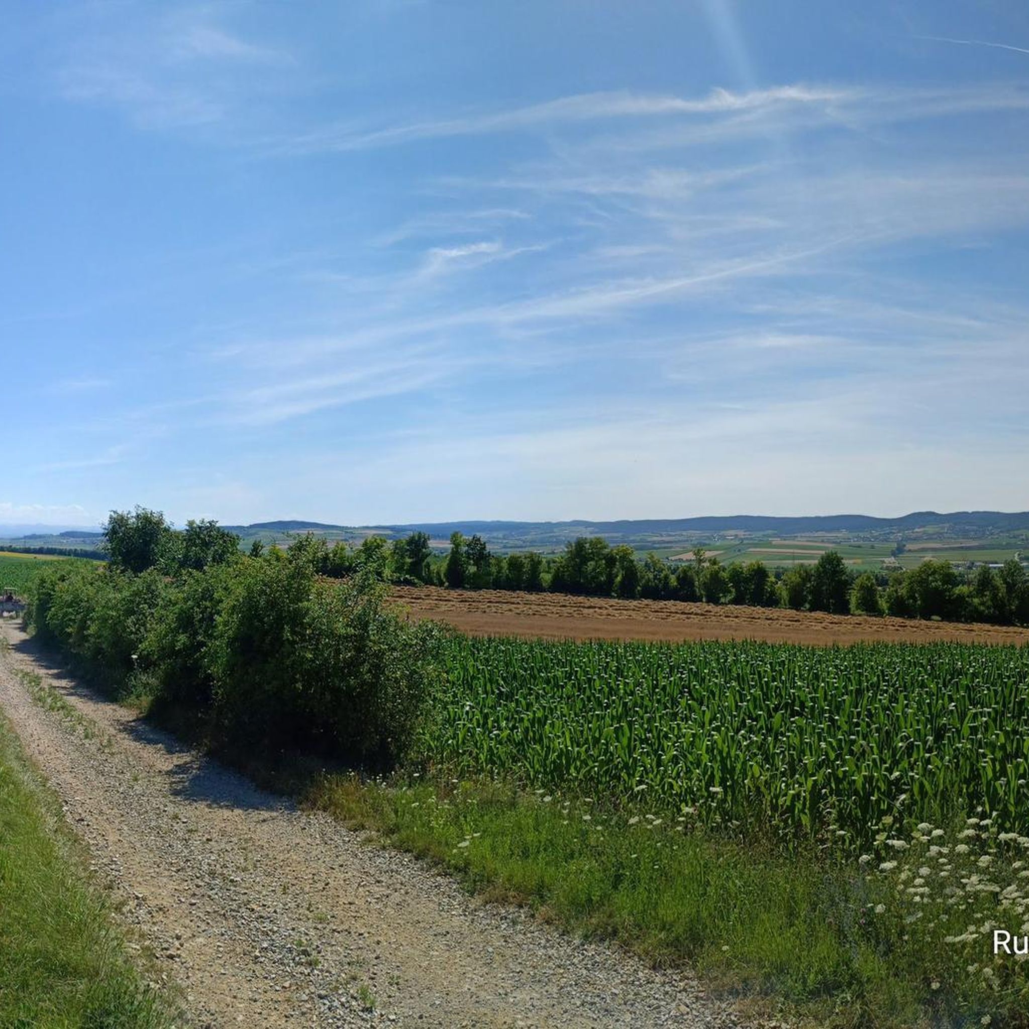
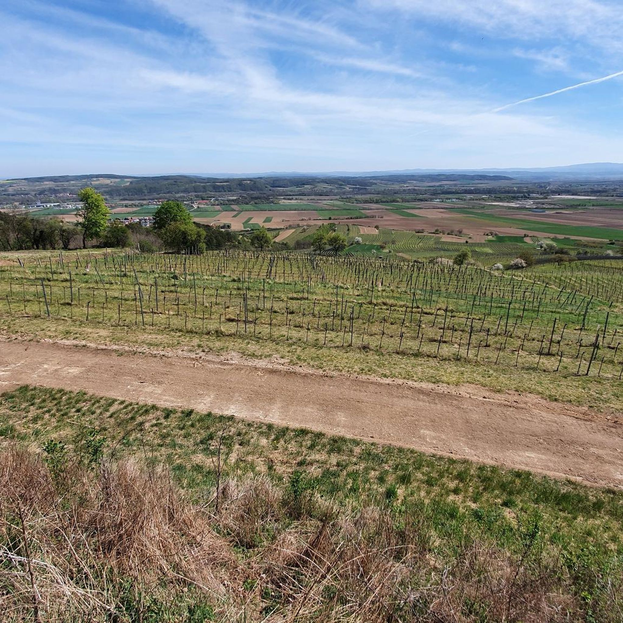
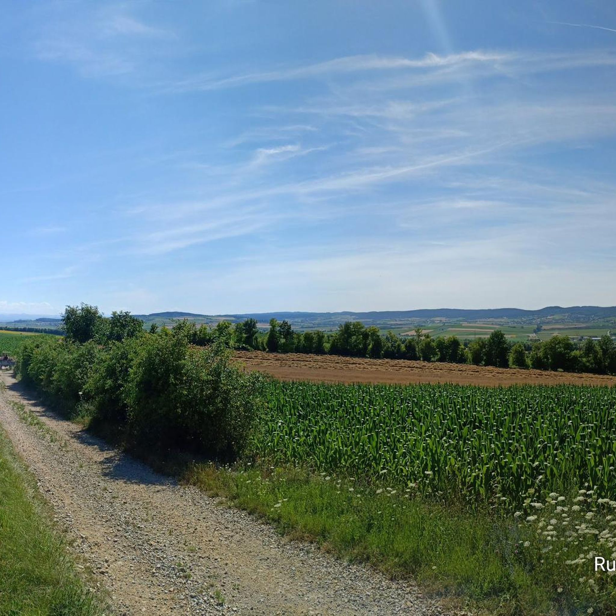
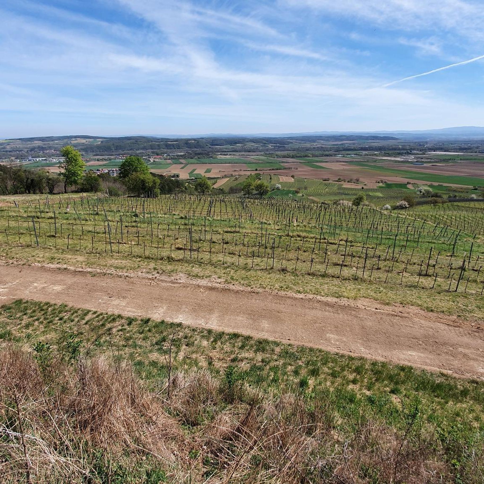
Hiking trails around Inzersdorf-Getzersdorf traverse a diverse landscape within the Traisental region of Lower Austria. The terrain features rolling hills, expansive fields, vineyards, and forests. Hikers can find paths winding through orchards and small villages, offering views of the Traisental, the Danube Valley, the Tullnerfeld, and the foothills of the Alps. The Traisen River also provides scenic routes along its banks.
Best hiking trails around Inzersdorf-Getzersdorf
- The most popular hiking route is Walpersdorf Castle – Start of Sparkassen Wanderweg loop…
Last updated: July 18, 2026
4.1
(7)
36
hikers
Moderate hike. Good fitness required. Easily-accessible paths. Suitable for all skill levels.
5.0
(9)
57
hikers
Moderate hike. Good fitness required. Easily-accessible paths. Suitable for all skill levels.

Sign up for free
4.8
(4)
23
hikers
15.4km
04:18
290m
290m
Moderate hike. Good fitness required. Easily-accessible paths. Suitable for all skill levels.
4.8
(4)
22
hikers
Moderate hike. Good fitness required. Easily-accessible paths. Suitable for all skill levels.
4.5
(2)
12
hikers
Moderate hike. Good fitness required. Easily-accessible paths. Suitable for all skill levels.
Get access to more routes and recommendations from other explorers.
Sign up for free
Already have an account?
Our route recommendations are based on thousands of hikes, rides, and runs completed by other people on komoot.
Start today with a free account
Your next adventure awaits.
Login or Signup
Tips from the Community

Great view of the mountains and Göttweig Abbey.
2
0
A lovely spot on the Way of St. James. The Kuffernbach stream rises not far from here. It's hard to believe, but this little stream can bring destruction down to Kuffern when a proper thunderstorm breaks out.
3
0

A beautiful rest area along the Way of St. James and not far from the "Chapel Maria Ellend".
4
0
The Chapel of Our Lady of Sorrows is located near the "Lorettohof." It offers a magnificent view of the foothills of the Alps and the Statzendorf wind farm on one side, and the impressive Göttweig Abbey on the other. The Way of St. James also passes through here.
1
0
Rest area with great views along the Way of St. James before continuing to the Rampelkreuz.
3
0
Very beautiful viewpoint, both to the Eastern Alps and to Göttweig Abbey. The Way of St. James passes by here
5
1
A beautiful viewpoint over the Traisental to the Schneeberg.
1
1

nice rest area with a good view
2
1
Frequently Asked Questions
How many hiking trails are available in Inzersdorf-Getzersdorf?
Inzersdorf-Getzersdorf offers a wide selection of hiking opportunities, with over 40 routes recorded on komoot. These range from easy strolls to more moderate excursions, ensuring options for various fitness levels.
Are there any easy hiking trails suitable for beginners or families?
Yes, the region has 27 easy hiking trails. These paths often wind through orchards, fields, and vineyards, providing gentle terrain. For a moderate option that is not too strenuous, consider the Walpersdorf Castle – Kellergasse Walpersdorf loop from Inzersdorf-Getzersdorf, which is about 8.1 km long and passes by Walpersdorf Castle.
What kind of scenery can I expect on the hiking trails?
Hikers in Inzersdorf-Getzersdorf can expect diverse scenery, including rolling hills, expansive fields, lush vineyards, and serene forests. Many trails offer panoramic views of the Traisental, the Danube Valley, the Tullnerfeld, and the foothills of the Alps. The Traisen River also provides tranquil routes along its banks.
Are there any circular hiking routes in the area?
Yes, Inzersdorf-Getzersdorf is known for its diverse loop trails. A popular moderate option is the Walpersdorf Castle – Rampelkreuz Wayside Shrine loop from Getzersdorf, which is 15.6 km long and takes about 4 hours 21 minutes to complete, leading through vineyards and past historical sites.
What historical or cultural sites can I see while hiking?
The region is rich in cultural and historical points of interest. You can encounter sites like Walpersdorf Castle, a Renaissance castle with a romantic chapel, and the pilgrimage church of Maria Jeutendorf. The 'NÖ. Bildstockweg' (Lower Austrian Wayside Shrine Trail) is a circular path leading to 23 wayside shrines, statues, and crosses. Parts of the historic Jakobsweg (St. James's Way) also pass through the municipality.
Are there any viewpoints with scenic vistas along the trails?
Absolutely. Hikers can enjoy breathtaking vistas from the 'Theyerner Höhe,' a popular viewpoint within the vineyards between Inzersdorf and Getzersdorf, offering views of the Alpine foothills and the Danube. The 'Inzersdorfer Hiatahütte' also serves as a sought-after rest and viewpoint. For specific peaks, consider exploring highlights like Waxenberg or the Korkenzieher Observation Tower.
What do other hikers say about the trails in Inzersdorf-Getzersdorf?
The hiking routes in Inzersdorf-Getzersdorf are highly rated by the komoot community, with an average score of 4.6 stars from over 280 reviews. Hikers often praise the varied terrain, the scenic views of vineyards and the Danube Valley, and the well-maintained paths that cater to different ability levels.
Are there any natural attractions or unique features to discover?
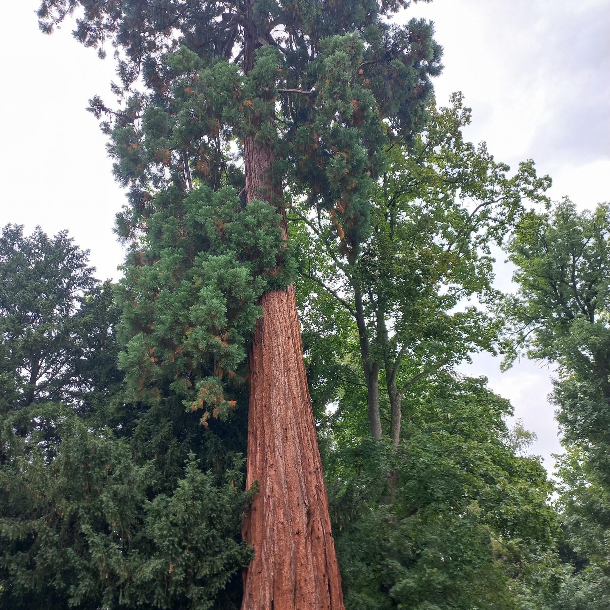
Beyond the vineyards and forests, the Traisen River offers scenic routes with tranquil floodplains and renaturalized areas where diverse wildlife can be observed. You can also find unique natural monuments such as the Giant Sequoias of Paudorf or the Zellergraben.
Can I find trails that pass by Walpersdorf Castle?
Yes, Walpersdorf Castle is a prominent landmark in the area and features in several hiking routes. A popular option is the Walpersdorf Castle – Start of Sparkassen Wanderweg loop from Inzersdorf-Getzersdorf, a 14.5 km trail that takes about 4 hours to complete and offers views of the surrounding agricultural land.
Are there any trails that lead past wayside shrines?
Yes, the region is known for its wayside shrines. The Rampelkreuz Wayside Shrine – Broken Cross loop from Inzersdorf-Getzersdorf is a moderate 14.7 km path that specifically leads through forests and vineyards, featuring several of these historical markers.
What is the best time of year to go hiking in Inzersdorf-Getzersdorf?
The diverse landscape of Inzersdorf-Getzersdorf makes it enjoyable for hiking across multiple seasons. Spring and autumn offer pleasant temperatures and vibrant colors, especially through the vineyards. Summer is also suitable, with many trails providing shade through forested sections. Winter hiking is possible, though conditions may vary.
Most popular routes around Inzersdorf-Getzersdorf
Most popular attractions around Inzersdorf-Getzersdorf

Get inspired with the komoot mobile app


Explore more
Browse the best Hikes in other regions.
