The best road cycling routes in Minnesota Valley State Recreation Area
4.5
(4)
353
riders
54
rides
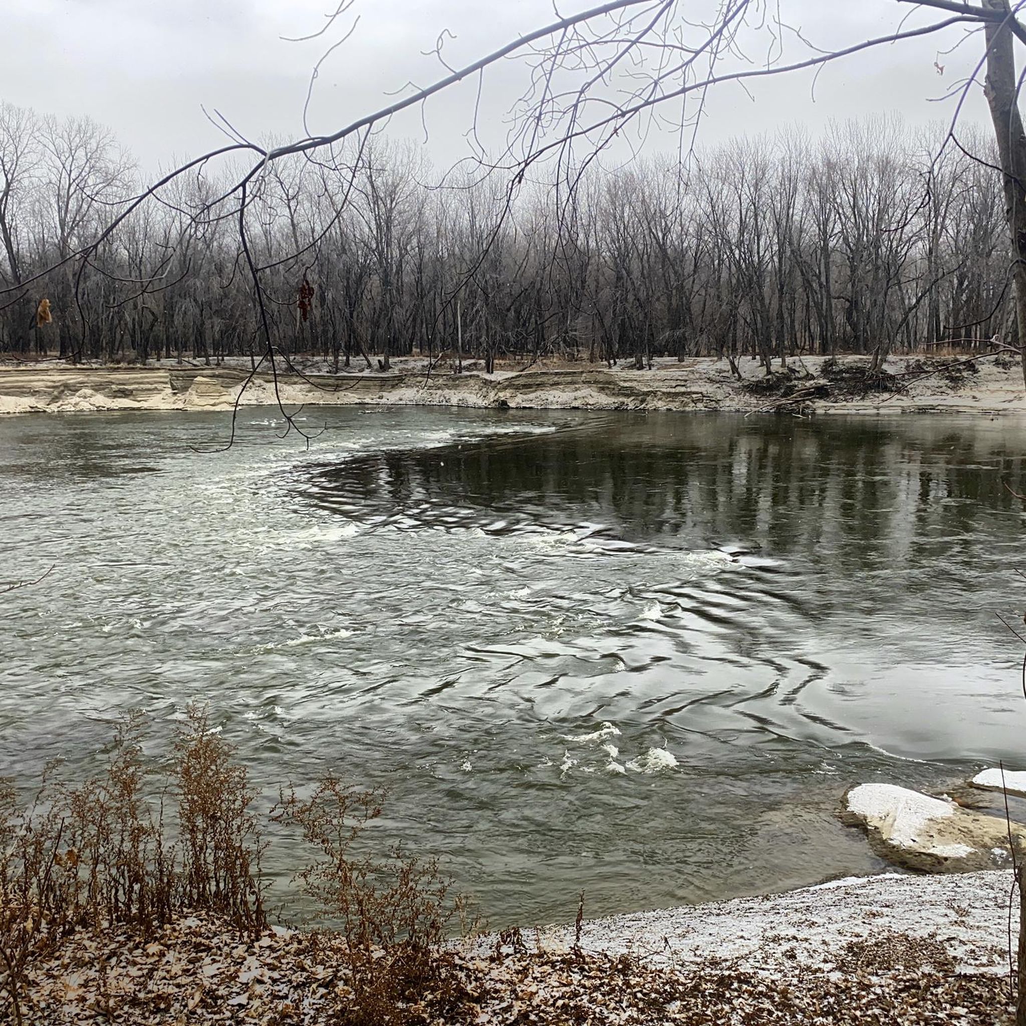
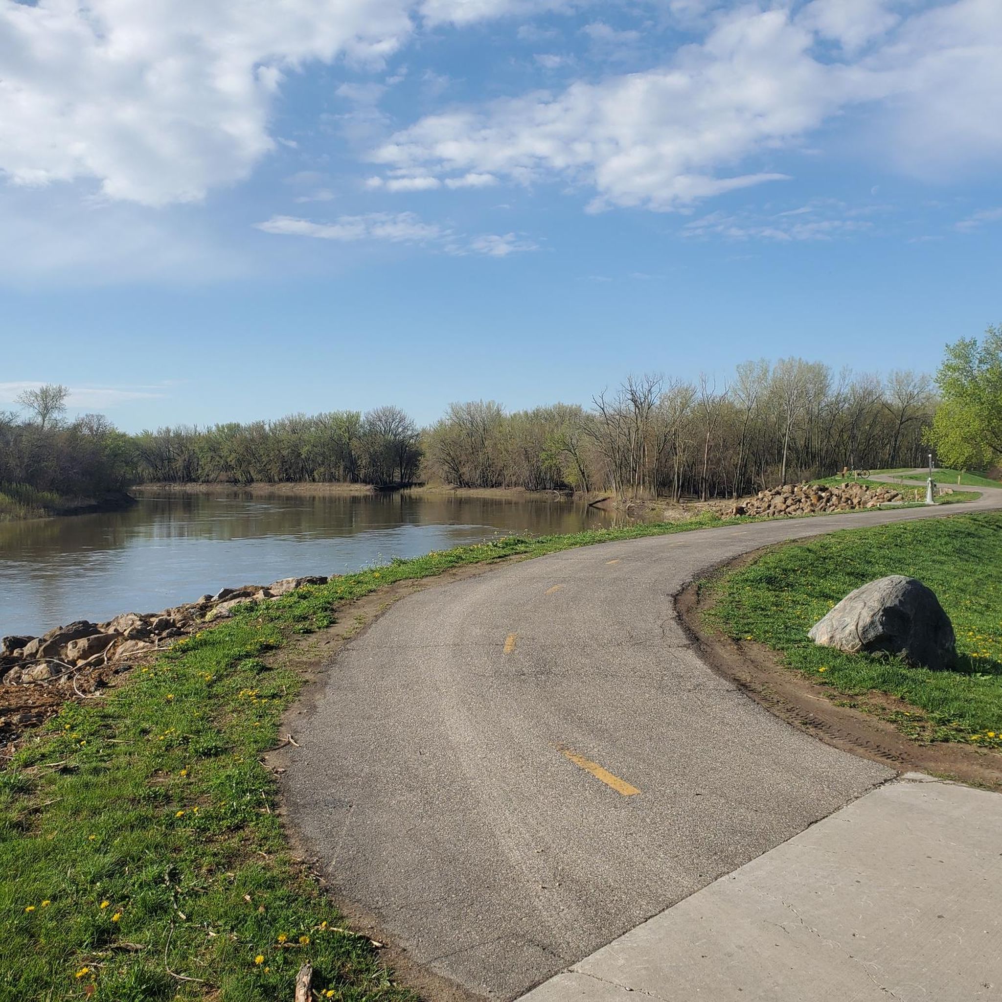
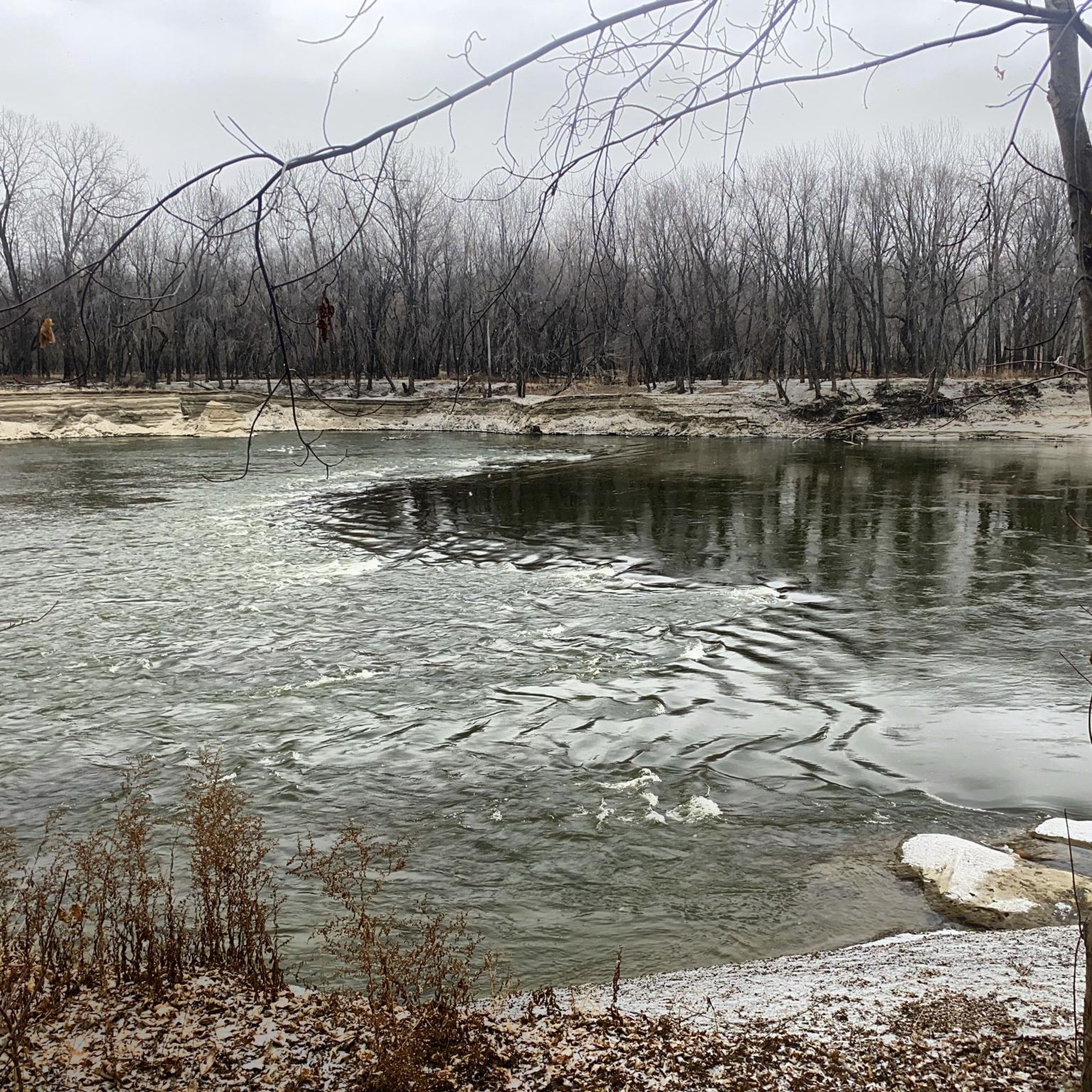
Road cycling in Minnesota Valley State Recreation Area features dedicated paved sections of the multi-use Minnesota Valley State Trail, providing smooth surfaces for road bikes. The region is characterized by diverse ecosystems, including wetlands, floodplain forests, and bluff-top oak savannas. The Minnesota River often parallels the trails, offering views of the waterway and shaping the valley's ecological balance. Hillsides and bluffs provide scenic overlooks of the river valley.
Best road cycling routes in Minnesota Valley State Recreation Area
- The most…
Last updated: July 26, 2026
7
riders
15.8km
00:38
70m
70m
Easy road ride. Great for any fitness level. Mostly well-paved surfaces and easy to ride.
2
riders
32.8km
01:29
170m
170m
Easy road ride. Great for any fitness level. Mostly well-paved surfaces and easy to ride.

Sign up for free
7
riders
17.2km
00:45
70m
70m
Moderate road ride. Great for any fitness level. Some segments of this route may be unpaved and difficult to ride.
5
riders
66.4km
03:07
370m
370m
Moderate road ride. Good fitness required. Some segments of this route may be unpaved and difficult to ride.
6
riders
Moderate road ride. Great for any fitness level. Some segments of this route may be unpaved and difficult to ride.
Get access to more routes and recommendations from other explorers.
Sign up for free
Already have an account?
Our route recommendations are based on thousands of hikes, rides, and runs completed by other people on komoot.
Start today with a free account
Your next adventure awaits.
Login or Signup
Popular around Minnesota Valley State Recreation Area

Tips from the Community

A pretty water plant covered lake, but another nice bit of water along the trail.
2
0

The CP Rail Regional Trail is a planned 21-mile regional corridor that will run from the Minnesota River in the south to the Bassett Creek Regional Trail in the north. The proposed alignment will connect to six regional trails: Nine Mile Creek, Cedar Lake LRT, North Cedar Lake, Luce Line, Bassett Creek, and Crystal Lake. Each of these trails, in turn, connects with many others. Here is a link to the CP Rail Trail Master Plan: https://www.threeriversparks.org/sites/default/files/pdfs/construction/03-21%20CP%20Rail%20Reg.%20Trail%20Master%20Plan%20DRAFT.pdf Since we recently moved to a home very near Hyland Lake Regional Park, Martha and I are looking forward to the completion of the final 1.5 miles of trail connecting the Nine Mile Creek Regional Trail to the Minnesota River. We hope this trail, together with the many others it connects to, will help knit Minneapolis together as a community.
0
0
Nice park office with ski rentals in the winter. Big playground. A lake that they run a aerator, so it stays open and a bunch of swans stay in the winter.
2
0
The Hyland Lake Park Reserve Visitor Center is the main location for visitors at Hyland Lake Park in Bloomington, Minnesota. Managed by the Three Rivers Park District, the Visitor Center offers access to park activities and services. Next to the Visitor Center, families can enjoy the Hyland Play Area, known as "Chutes and Ladders.”. The center also has restrooms, serves as a warming shelter, and is close to a concession stand for snacks and drinks. Near the Visitor Center is a small 3-hole disc golf practice course, and during the warmer months, canoes and paddle boats are available for rent on the nearby lake.
4
0
Nice bridge, very popular with a parking lot right next to it
1
0
Frequently Asked Questions
What kind of road cycling trails can I expect in Minnesota Valley State Recreation Area?
The Minnesota Valley State Recreation Area offers dedicated paved sections of the multi-use Minnesota Valley State Trail, ideal for road bikes. These smooth surfaces wind through diverse ecosystems, including wetlands, floodplain forests, and bluff-top oak savannas, often paralleling the Minnesota River for scenic views.
How many road cycling routes are available in Minnesota Valley State Recreation Area?
There are over 50 road cycling routes available in the Minnesota Valley State Recreation Area, catering to various skill levels. You'll find a good mix of easy and moderate options to explore the region's natural beauty.
What are some notable landmarks or scenic viewpoints along the road cycling routes?
While cycling, you can enjoy picturesque views of the Minnesota River from various points, especially from hillsides and bluffs. Specific points of interest include the Shakopee Brewery Ruins and the Rapids in the Minnesota River at Rapids Lake. The area also features historical sites like the Jabs Farm and Little Rapids campsite.
Are the road cycling routes in Minnesota Valley State Recreation Area suitable for families?
Yes, many of the paved sections of the Minnesota Valley State Trail are suitable for families. Routes like the Shakopee Brewery Ruins – Smelting Pot loop from Shakopee are rated as easy, offering a comfortable ride for various ages to enjoy the scenic river valley.
What is the difficulty level of road cycling routes in the area?
The routes in Minnesota Valley State Recreation Area are primarily categorized as easy or moderate. For instance, the Roadbike loop from Shakopee is an easy 20.4-mile path, while the Seminary Fen SNA – Shakopee Brewery Ruins loop from Shakopee is a moderate 10.7-mile trail. There are no routes rated as difficult, making it accessible for most road cyclists.
Can I bring my dog on the paved road cycling trails?
The Minnesota Valley State Trail, including its paved sections, is generally multi-use. While specific regulations for dogs can vary, trails in state recreation areas typically allow leashed dogs. It's always recommended to check local signage or the Minnesota Department of Natural Resources website for the most current pet policies.
What do other road cyclists enjoy most about road cycling in Minnesota Valley State Recreation Area?
The area is highly rated by the komoot community, with an average score of 5.0 stars from more than 3 reviews. Cyclists often praise the smooth paved trails, the diverse ecosystems, and the picturesque views of the Minnesota River that accompany many of the routes.
Are there any circular road cycling routes available?
Yes, many of the road cycling routes in the area are designed as loops, offering a convenient way to start and end your ride at the same point. Examples include the Shakopee Brewery Ruins – Smelting Pot loop from Shakopee and the Bluff Creek Drive trail access – Lake Grace Picnic Area loop from Raguet WMA.
Where can I find parking for road cycling in Minnesota Valley State Recreation Area?
Access points to the Minnesota Valley State Trail, particularly near towns like Shakopee and Chaska, typically offer parking facilities. For specific trailhead parking information, it's advisable to consult local park maps or the Minnesota Department of Natural Resources website.
Is public transport an option to reach the road cycling trails?
While the region is accessible by car, public transport options directly to all trailheads might be limited. For information on local transit services that may connect to parts of the Minnesota Valley State Trail, particularly near urban centers like Shakopee, you might check resources like shakopeemn.gov for local services.
What kind of wildlife can I expect to see while road cycling?
The diverse habitats, including wetlands and the Minnesota River flyway, make the area excellent for wildlife observation. You might spot various bird species, especially migrating songbirds and waterfowl, particularly around areas like Horseshoe Lake within the Lawrence Unit.
Are there any specific permits required for road cycling on the Minnesota Valley State Trail?
Generally, a Minnesota State Parks and Trails vehicle permit is required for parking at state park and recreation area trailheads. However, specific requirements for cycling on the trail itself can vary. It's best to check the Minnesota Department of Natural Resources website for the most up-to-date permit information.
Most popular routes in Minnesota Valley State Recreation Area
Most popular attractions in Minnesota Valley State Recreation Area

Get inspired with the komoot mobile app


Explore more
Browse the best Road cycling routes in other regions.
