The best road cycling routes in Ladyface Mountain Open Space
4.8
(13)
2,499
riders
73
rides
Road cycling routes in Ladyface Mountain Open Space are situated within Los Angeles County, offering varied terrain for cyclists. The area is dominated by Ladyface Mountain, a prominent feature rising over 2,000 feet, though its rugged slopes are primarily for hiking. The region is undergoing development with the Ladyface Greenway project, designed to provide dedicated bike paths and enhanced connectivity, transforming a former runoff channel into a linear park. This network provides views of the Santa Monica Mountains and the…
Last updated: August 6, 2026
30
riders
53.9km
03:15
1,410m
1,410m
Hard road ride. Very good fitness required. Mostly well-paved surfaces and easy to ride.
24
riders
Hard road ride. Very good fitness required. Some segments of this route may be unpaved and difficult to ride.

Sign up for free
5.0
(1)
195
riders
128km
06:36
2,020m
2,020m
Hard road ride. Very good fitness required. Mostly well-paved surfaces and easy to ride.
5.0
(1)
129
riders
76.8km
03:34
880m
880m
Moderate road ride. Good fitness required. Some segments of this route may be unpaved and difficult to ride.
5.0
(2)
112
riders
42.4km
02:02
440m
440m
Moderate road ride. Good fitness required. Mostly well-paved surfaces and easy to ride.
Get access to more routes and recommendations from other explorers.
Sign up for free
Already have an account?
Our route recommendations are based on thousands of hikes, rides, and runs completed by other people on komoot.
Start today with a free account
Your next adventure awaits.
Login or Signup
Tips from the Community

Lake Sherwood Drive takes you out along the water, and though the shoulder isn't great, there is a space for bikes and cars to pull over and enjoy the view.
0
0

Pedalers Fork is a unique combination of a restaurant, bar, coffee shop, and boutique bike shop in the heart of Calabasas. It offers delicious farm-to-table dining and artisan coffee with a casual vibe and a great patio, making it a fantastic place to relax after a ride.
0
0
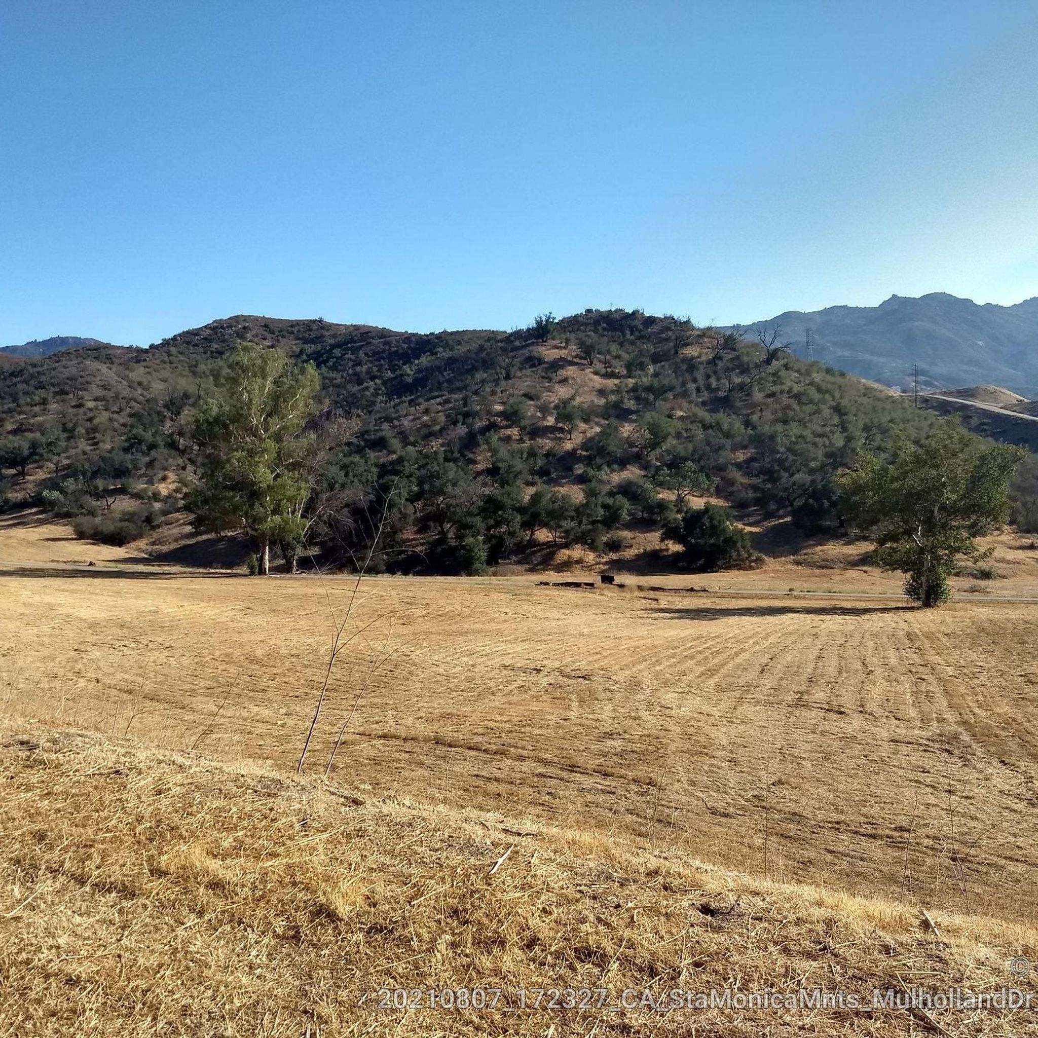
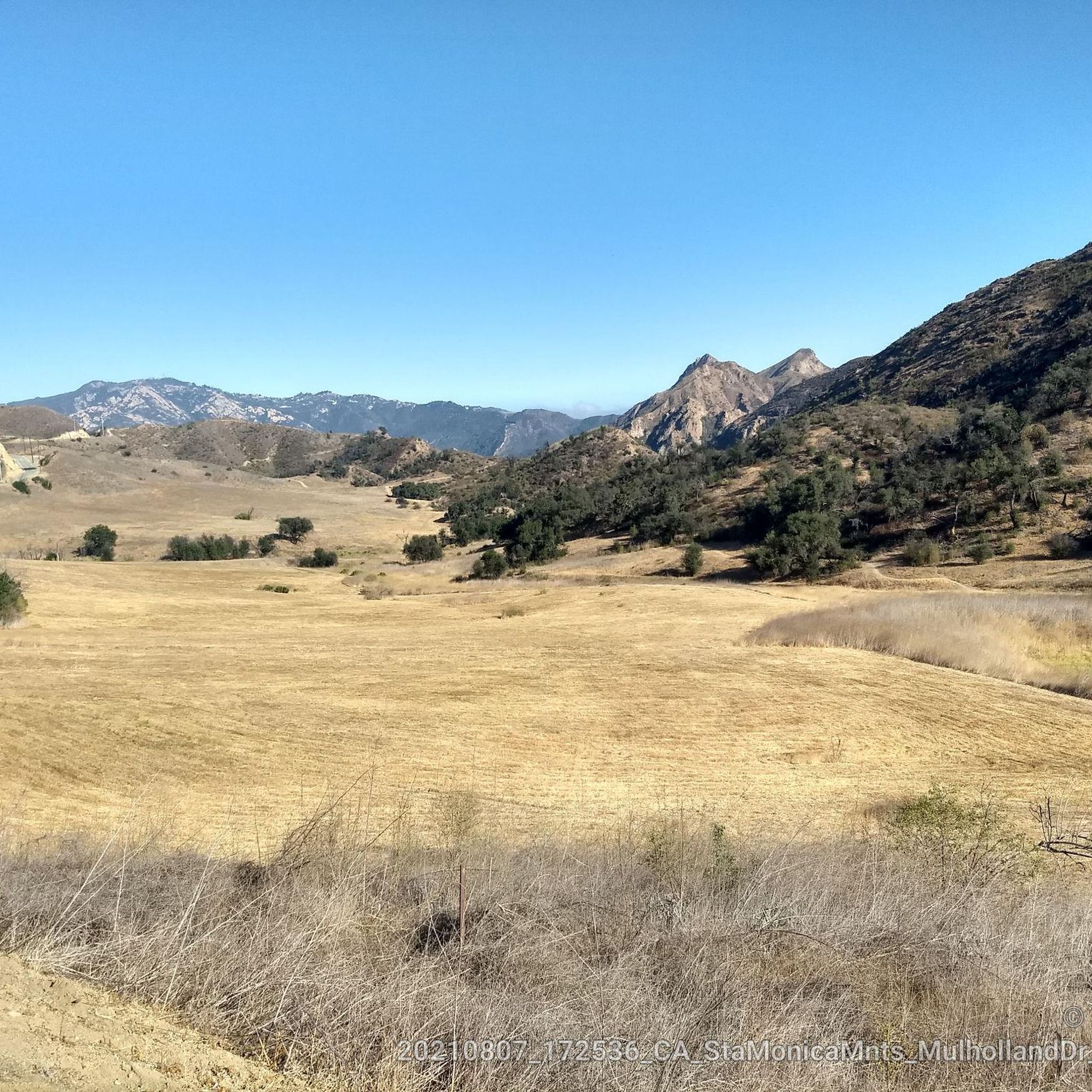
This stretch of West Potrero Road is incredibly scenic, offering breathtaking views whether you're traveling east toward the rolling hills or west toward the coastline. The winding path provides a perfect backdrop for picturesque sunsets, making it a delightful route for both a leisurely ride or a fast-paced descent.
0
0

Dan Blocker Beach, a 15.2-acre stretch of bluff and beach with over a mile of ocean frontage, attracts surfers and divers. Visitors also go swimming, fishing, and soak up the sun on this sandy, narrow beach. In 2014, the county added a public viewing area, parking, ADA-compliant restrooms, ocean-facing benches, and picnic tables.
1
0

This is one of the prettiest sections of bikeable roadway near Thousand Oaks, with gorgeous Lake Sherwood just off the road to the south. If you head west on West Potrero Road you can connect into a large loop of roughly 20 miles, doubling back toward Thousand Oaks before returning to the lake.
4
0

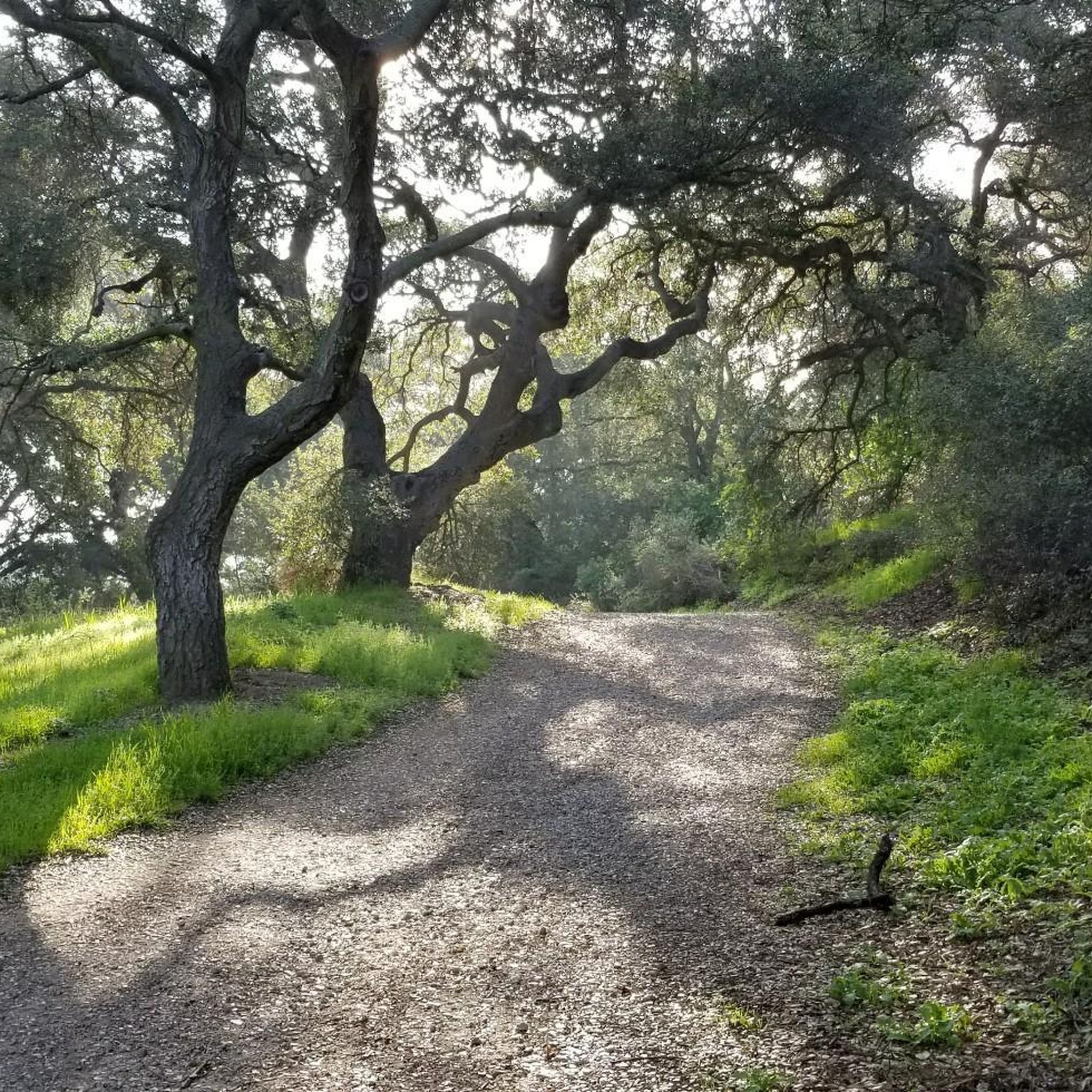
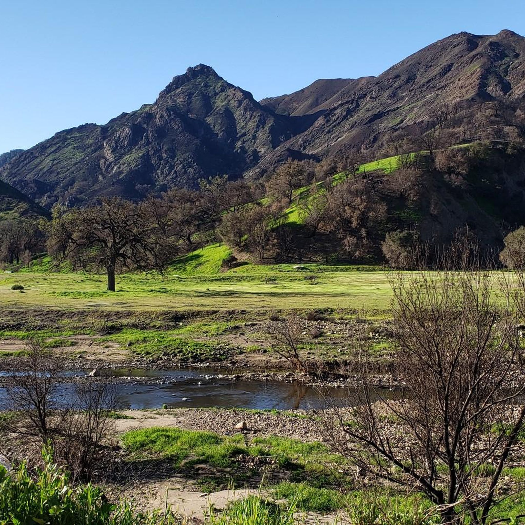
Beautiful area, green everywhere
5
0
Lake Sherwood is California's oldest man-made lake but very beautiful
5
0
Frequently Asked Questions
How many road cycling routes are available in Ladyface Mountain Open Space?
Ladyface Mountain Open Space offers a wide selection of road cycling routes, with over 70 options available. These routes cater to various skill levels, ensuring there's a suitable ride for everyone.
What are the general difficulty levels for road cycling in Ladyface Mountain Open Space?
The routes in Ladyface Mountain Open Space range from easy to difficult. You'll find approximately 12 easy routes, 37 moderate routes, and 25 difficult routes, providing options for all experience levels.
What kind of terrain can I expect when road cycling in Ladyface Mountain Open Space?
Road cycling in this region features varied terrain. While Ladyface Mountain itself is rugged, the cycling routes offer a mix of significant elevation gains, rolling hills, and scenic stretches. The upcoming Ladyface Greenway will introduce dedicated paths through landscaped areas.
What makes Ladyface Mountain Open Space a unique destination for road cyclists?
The area is unique due to its combination of natural beauty, including views of Ladyface Mountain and the Conejo Valley, and significant infrastructure development. The ongoing Ladyface Greenway project is specifically designed to enhance road cycling with dedicated paths and improved connectivity, transforming a former runoff channel into a scenic linear park.
Are there any notable landmarks or viewpoints along the road cycling routes?
Yes, many routes offer scenic views. You can expect vistas of the Conejo Valley and the Santa Monica Mountains. Routes like the Malibou Lake – Malibu Lake Vista loop from Agoura Hills provide beautiful lake views, and the King Gillette Ranch – King Gillette Ranch State Park loop from Agoura Hills takes you through parklands.
What is the Ladyface Greenway project, and how does it impact road cycling?
The Ladyface Greenway project is a significant initiative transforming an existing runoff channel along Agoura Road into a linear park. Anticipated for completion in spring 2026, it will provide dedicated bike paths, walking, and equestrian trails. Cyclists will enjoy a scenic route with native vegetation, butterfly gardens, and public art, greatly enhancing bike path connectivity in the area.
Are there any circular road cycling routes in the area?
Yes, many road cycling routes in Ladyface Mountain Open Space are designed as loops. Examples include the challenging Rocky Oaks – Dan Blocker Beach loop from Agoura Hills and the moderate Malibou Lake – Malibu Lake Vista loop from Agoura Hills, offering convenient starting and ending points.
When is the best time of year to go road cycling in Ladyface Mountain Open Space?
Given the region's climate, road cycling is generally enjoyable year-round. However, spring and fall offer particularly pleasant temperatures. Summers can be warm, so early morning or late afternoon rides are recommended during those months. The new Ladyface Greenway will feature drought-resistant vegetation, making it a pleasant ride in various conditions.
Are there options for beginner road cyclists in Ladyface Mountain Open Space?
Yes, beginners have good options. There are approximately 12 easy routes available, providing less challenging terrain and shorter distances to help new cyclists build confidence and enjoy the scenery at a comfortable pace.
Where can I find parking for road cycling routes in Ladyface Mountain Open Space?
Many routes originate from Agoura Hills, suggesting parking facilities are available within or near the town. Specific parking details for individual routes can often be found on their respective komoot tour pages.
What do other road cyclists enjoy the most about road cycling in Ladyface Mountain Open Space?
The area is highly rated by the komoot community, with an average score of 4.9 stars from over 10 reviews. Reviewers often praise the varied terrain, scenic views, and the diverse range of routes that cater to different fitness levels.
Are there any cafes or places to stop near the road cycling routes?
While the guide focuses on the routes themselves, many routes start from Agoura Hills, which offers various amenities including cafes and shops where you can refuel before or after your ride.
Most popular routes in Ladyface Mountain Open Space

Get inspired with the komoot mobile app


Explore more
Browse the best Road cycling routes in other regions.
