The best walks and hikes in Oakbrook Regional Park
4.6
(46)
795
hikers
129
hikes
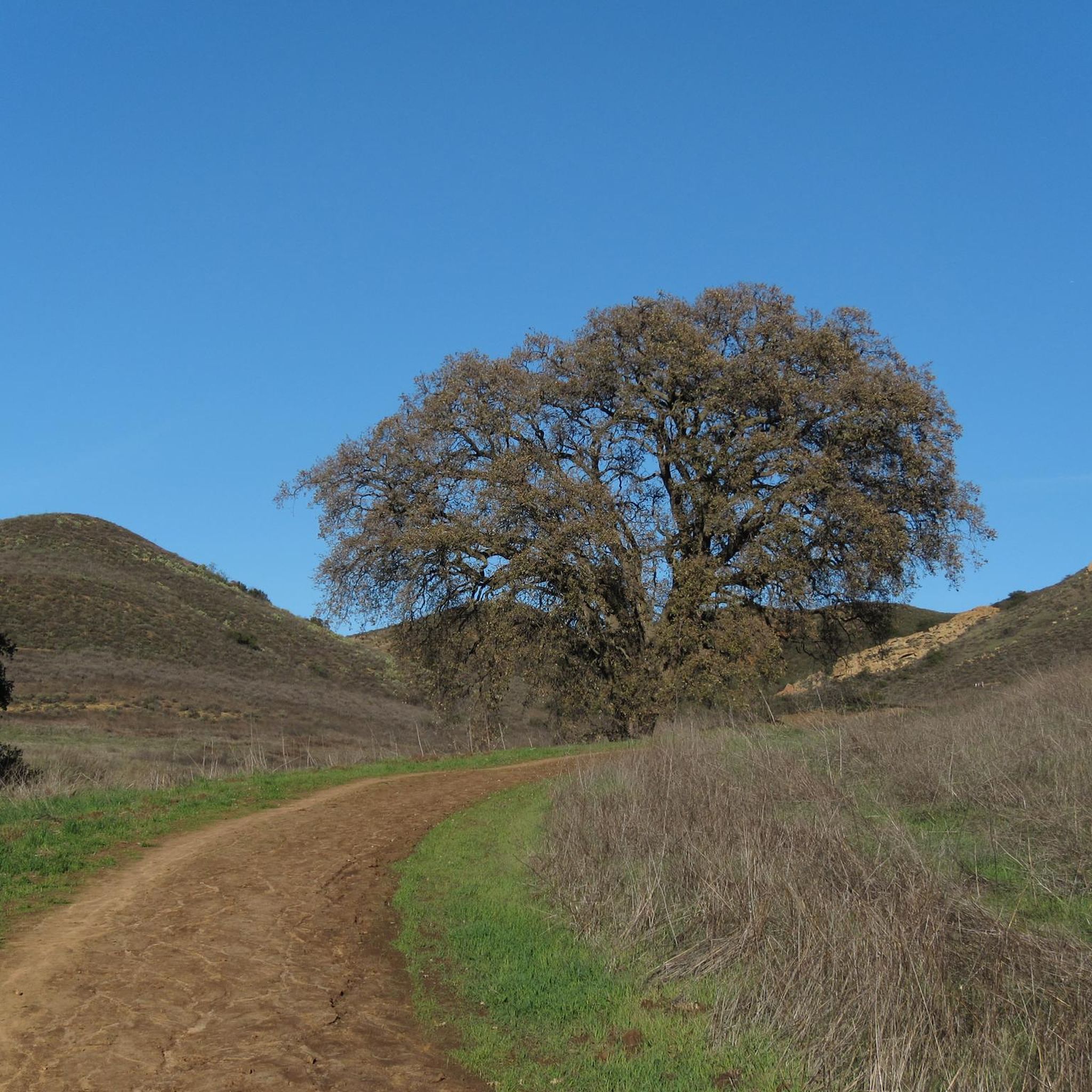
Hikes in Oakbrook Regional Park explore a landscape of rolling hills, oak groves, and open meadows in Thousand Oaks. The park is situated within the Simi Hills and features trails that follow creeks and pass notable rock formations. Elevation gains on the routes provide views across the surrounding area. The trail network connects to adjacent open spaces like Lang Ranch and Woodridge parks.
Best hiking trails in Oakbrook Regional Park
- The most popular hiking route is Alberson Fire & Autumn…
Last updated: November 6, 2026
6
hikers
5.95km
01:47
200m
190m
Embark on the Lang Ranch Ridge, Meadow Vista and Albertson Loop for an easy hike that offers diverse scenery and gentle climbs. This route spans 3.7 miles (5.9 km) and…
3.76km
01:03
70m
80m

1.15km
00:18
10m
10m
12
hikers
8.02km
02:19
210m
210m
5
hikers
12.8km
03:53
420m
420m
Get access to more routes and recommendations from other explorers.
Already have an account?
Our route recommendations are based on thousands of hikes, rides, and runs completed by other people on komoot.
Start today with a free account
Your next adventure awaits.
Tips from the Community

China Flat is a scenic plateau at around 2,000 ft elevation. It is full of native oak woodlands, chaparral-covered meadows, and striking sandstone outcroppings. There are several trails that cut through the land.
0
0

The land for Sapwi Trails Community Park, previously named Lang Ranch Community Park, was officially dedicated to the Conejo Recreation and Park District in 1993. Park hours are from 7:00 am to 10:00 pm. Sapwi Trails Community Park offers multi-use trails, a beginners bike pump track, bike repair stations, drinking fountains, picnic tables, and restrooms.
0
0

From the Simi Peak you can take a panoramic look at the Santa Monica Mountains National Recreation Area. At this point, you are standing at 2,403 ft.
1
0
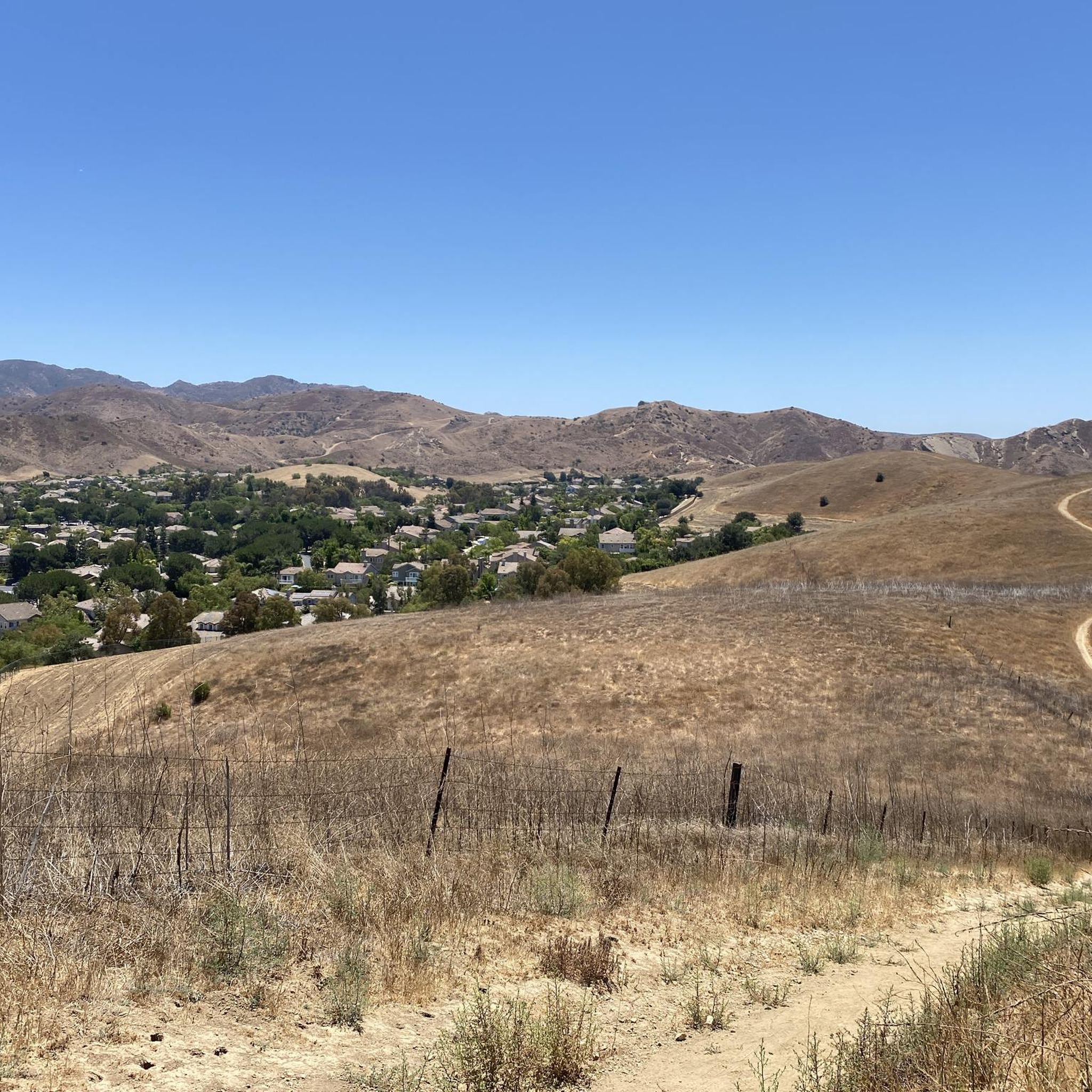
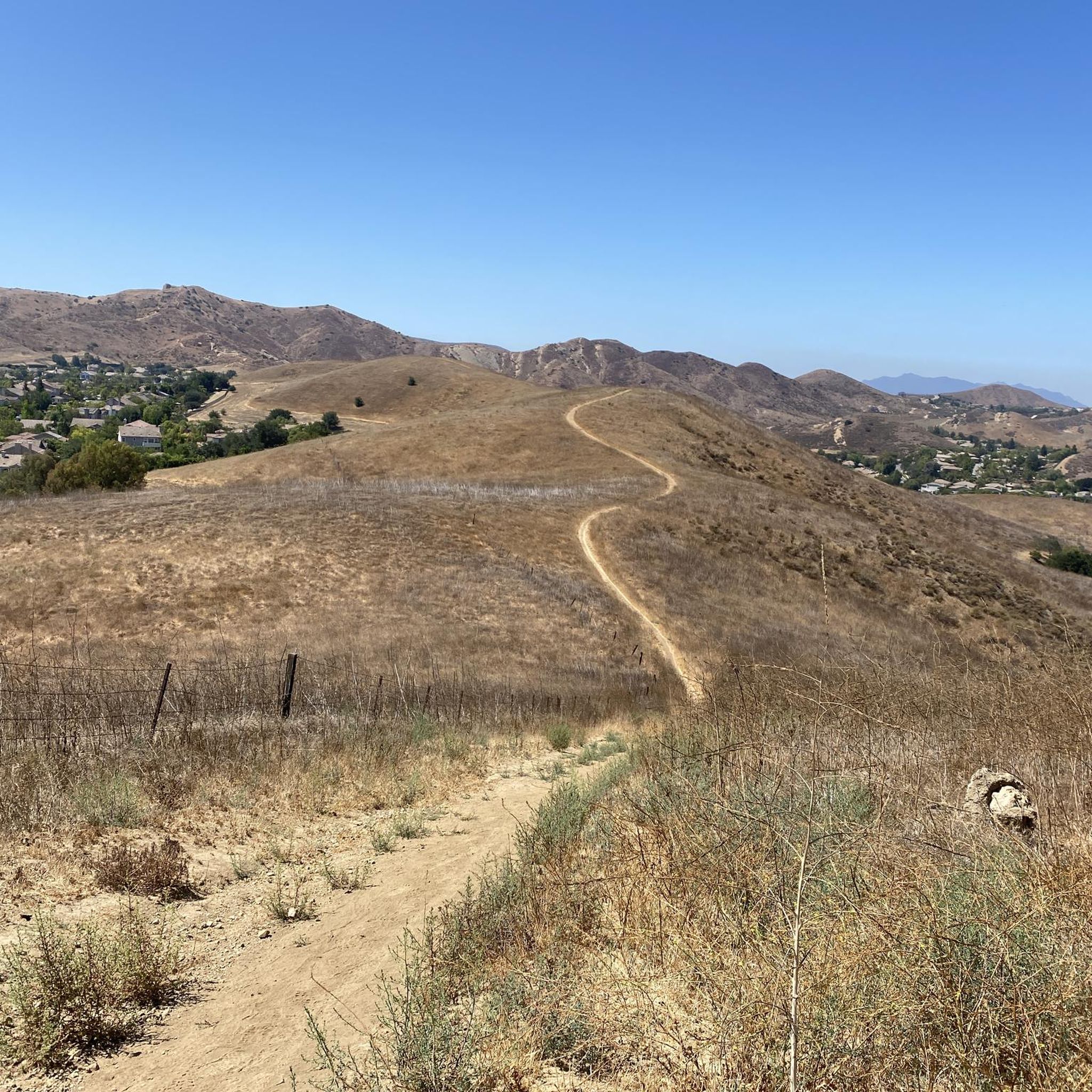
Lang Ranch Open Space has great views of Simi Hills and the Santa Susana Mountains and is located between residential areas and paved roads. From Long Ranch Parkway, your best views are to the south of the rolling grassy hills.
0
0

Lang Ranch Open Space is part of the Santa Monica Mountains National Recreation Area, providing at least 10 miles of packed dirt trails, going through lush meadows, creeks, oak groves, and native vegetation, with views of Simi Hills and Santa Susana Mountains. The Lang Ranch trail system is connected with the Simi Valley Open Space system, and the Palo Comado and Cheeseboro areas.
0
0

This trail serves as a well-maintained fireroad, offering a smooth and enjoyable hiking experience. Throughout the hike, you'll be treated to stunning views, and you'll also stumble upon caves, providing perfect opportunities for capturing some beautiful pictures.
0
0
As you hike along the path, you'll be treated to stunning views of the Conejo Open Space area. Additionally, you'll encounter unique rock formations that enhance the scenic beauty.
0
0
Wildflowers surround this trail, and at its highest point, you'll be treated to breathtaking views of Conejo Valley and Bard Lake.
0
0
Frequently Asked Questions
Are dogs allowed on the trails in Oakbrook Regional Park?
Yes, dogs are generally welcome in Oakbrook Regional Park, but they must be kept on a leash at all times. The park's wide fire roads and open spaces are great for walking with your canine companion. Please remember to bring water for your dog and to clean up after them to keep the trails enjoyable for everyone.
Are there any easy, family-friendly hikes in the park?
Absolutely. The park offers many gentler trails perfect for families or a relaxed walk. A great option is the Rabbit Ridge Rock Formations loop from Bell Canyon. This nearly 6-kilometer loop has minimal elevation gain and features interesting rock formations that are fun to explore.
Where can I find information about the Chumash history in the park?
The park is rich in Chumash history. You can visit the Chumash Indian Museum, located within the park, which houses artifacts and a reproduction of a Chumash village. For a challenging hike that incorporates this history, consider the Albertson Motorway & Chumash Indian Museum route, a long trail that passes near the museum.
What is the parking situation at Oakbrook Regional Park?
There is a designated parking area at the main entrance to Oakbrook Regional Park, located off Lang Ranch Parkway. This is also where you'll find the trailhead for many routes and the Chumash Indian Museum. Parking is free but can fill up on weekends, so arriving earlier in the day is recommended.
How many hiking trails are available in Oakbrook Regional Park?
There are over 80 hiking routes to explore in and around Oakbrook Regional Park. The network includes a wide variety of trails, from short, flat loops to strenuous climbs, with nearly 40 designated as easy and over 40 as moderate.
What do other hikers think of the trails in Oakbrook Regional Park?
The trails are highly regarded by the komoot community. Hikers often praise the beautiful scenery, including the oak groves and panoramic views of the Simi Hills. The well-maintained paths and variety of trail difficulties are also frequently mentioned as positive aspects.
What kind of scenery and landscape can I expect?
The landscape is classic Southern California, characterized by rolling hills, expansive meadows, and large oak groves that provide welcome shade. Many trails follow seasonal creeks and pass by unique sandstone rock formations. As you gain elevation, you'll be rewarded with panoramic views of the surrounding mountains.
When is the best time of year to see wildflowers?
The best time to see wildflowers in Oakbrook Regional Park is in the spring, typically from late February through April, following the winter rains. During this period, the meadows and hillsides can be covered in colorful blooms, making it a particularly beautiful time for a hike.
Are there any particularly challenging hikes for experienced hikers?
Yes, for those seeking a strenuous workout, the park offers several difficult trails. These routes often involve significant elevation gain on exposed fire roads and singletrack, rewarding you with expansive views. The park's trail system provides options to create long, challenging loops with over 500 meters of climbing.
Can I connect to other parks from the trails in Oakbrook?
Yes, the trail network in Oakbrook Regional Park is well-connected to adjacent open spaces. You can easily extend your hike into Lang Ranch Open Space and Woodridge Open Space, creating longer and more varied routes. This connectivity allows for extensive exploration of the Simi Hills.
Are the trails suitable for a sunset hike?
Several trails in the park are excellent for watching the sunset. Routes that climb the ridges on the western side of the park, like those along the Autumn Ridge Trail, offer unobstructed views as the sun goes down. If you plan a sunset hike, be sure to bring a headlamp or flashlight for a safe return journey.
Most popular routes in Oakbrook Regional Park

Get inspired with the komoot mobile app


Explore more
Browse the best Hikes in other regions.
