The best road cycling routes in Point Mugu State Park
4.8
(13)
1,544
riders
36
rides
Road cycling in Point Mugu State Park offers diverse landscapes within the Santa Monica Mountains, featuring five miles of ocean shoreline, rocky bluffs, and sandy beaches. The park also encompasses rugged hills, wide grassy valleys, and two major river canyons, providing varied terrain for cyclists. Routes often include both paved and unpaved segments, with significant elevation changes in some areas. The region is characterized by its coastal vistas and canyon trails.
Best road cycling routes in Point Mugu State Park
…Last updated: October 13, 2026
41
riders
Moderate road ride. Good fitness required. Mostly well-paved surfaces and easy to ride.
5.0
(1)
50
riders
Moderate road ride. Good fitness required. Mostly well-paved surfaces and easy to ride.

25
riders
Moderate road ride. Good fitness required. Mostly well-paved surfaces and easy to ride.
43
riders
Moderate road ride. Good fitness required. Mostly well-paved surfaces and easy to ride.
62
riders
91.7km
05:00
1,680m
1,680m
Hard road ride. Very good fitness required. Mostly well-paved surfaces and easy to ride.
Get access to more routes and recommendations from other explorers.
Already have an account?
Our route recommendations are based on thousands of hikes, rides, and runs completed by other people on komoot.
Start today with a free account
Your next adventure awaits.

Tips from the Community

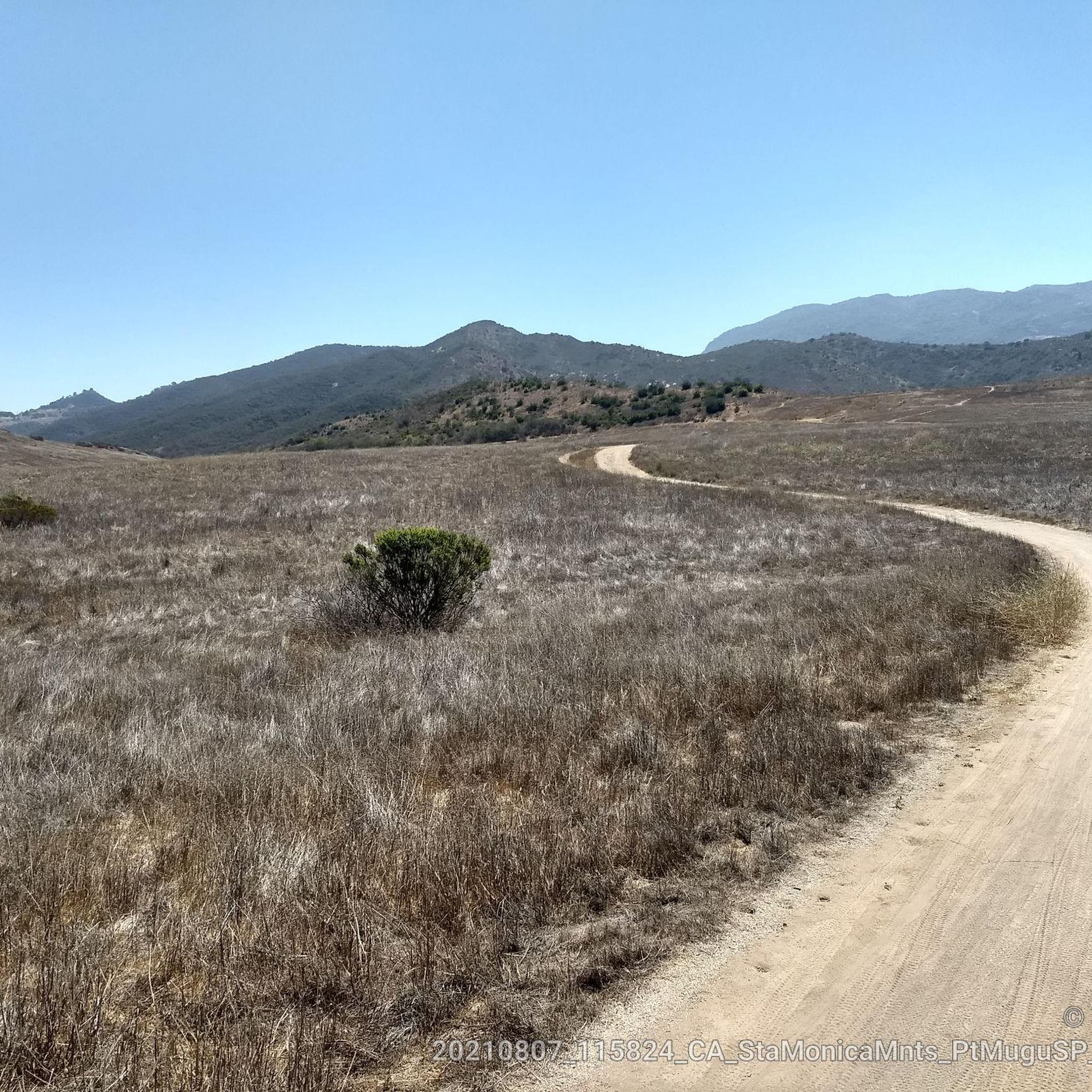
Pick up the Wendy Trail from hear and head off into the Boney Mountain State Wilderness. There are miles and miles of trails to explore, so take your pick and enjoy your run.
0
0

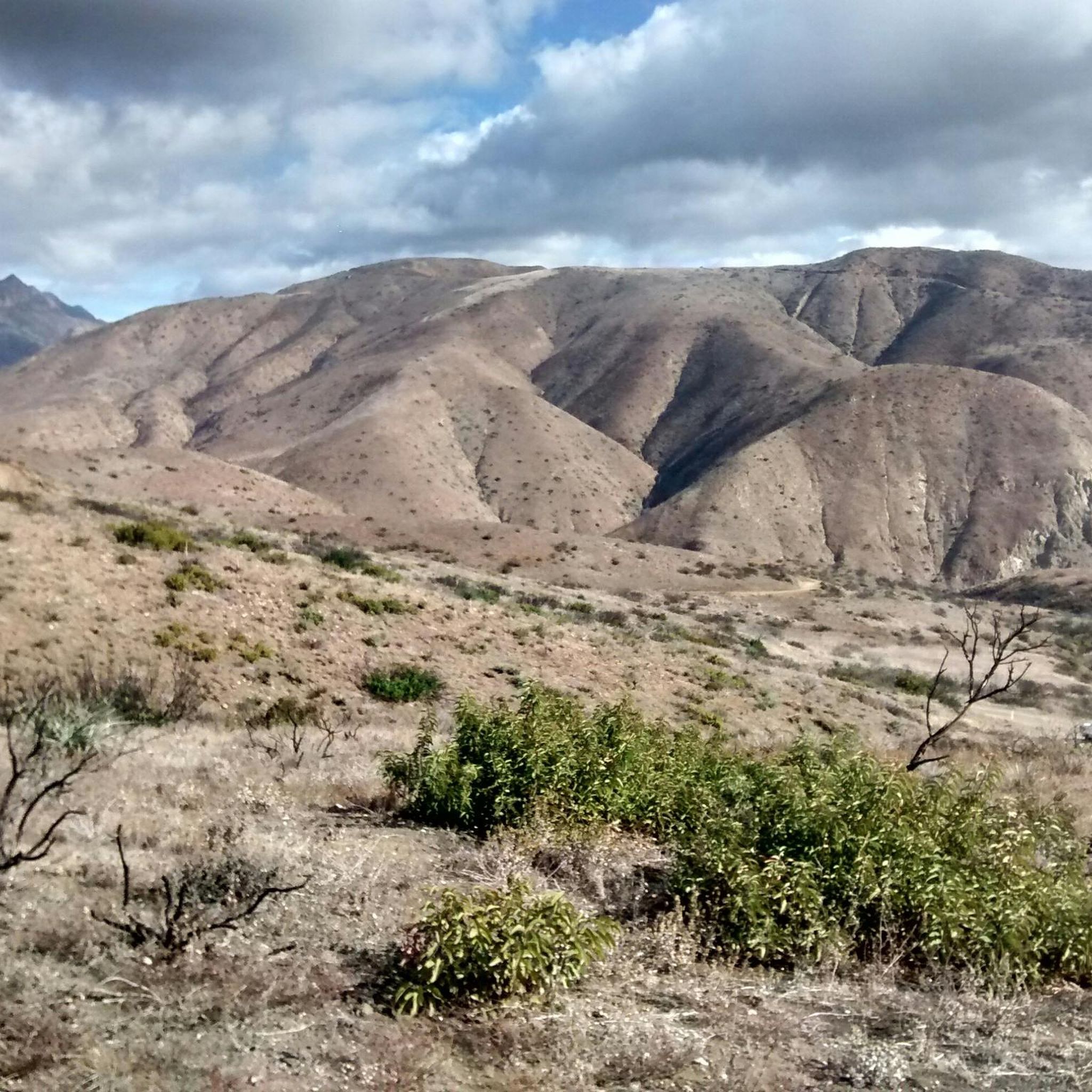
This stretch of West Potrero Road is incredibly scenic, offering breathtaking views whether you're traveling east toward the rolling hills or west toward the coastline. The winding path provides a perfect backdrop for picturesque sunsets, making it a delightful route for both a leisurely ride or a fast-paced descent.
0
0

This is one of the prettiest sections of bikeable roadway near Thousand Oaks, with gorgeous Lake Sherwood just off the road to the south. If you head west on West Potrero Road you can connect into a large loop of roughly 20 miles, doubling back toward Thousand Oaks before returning to the lake.
4
0

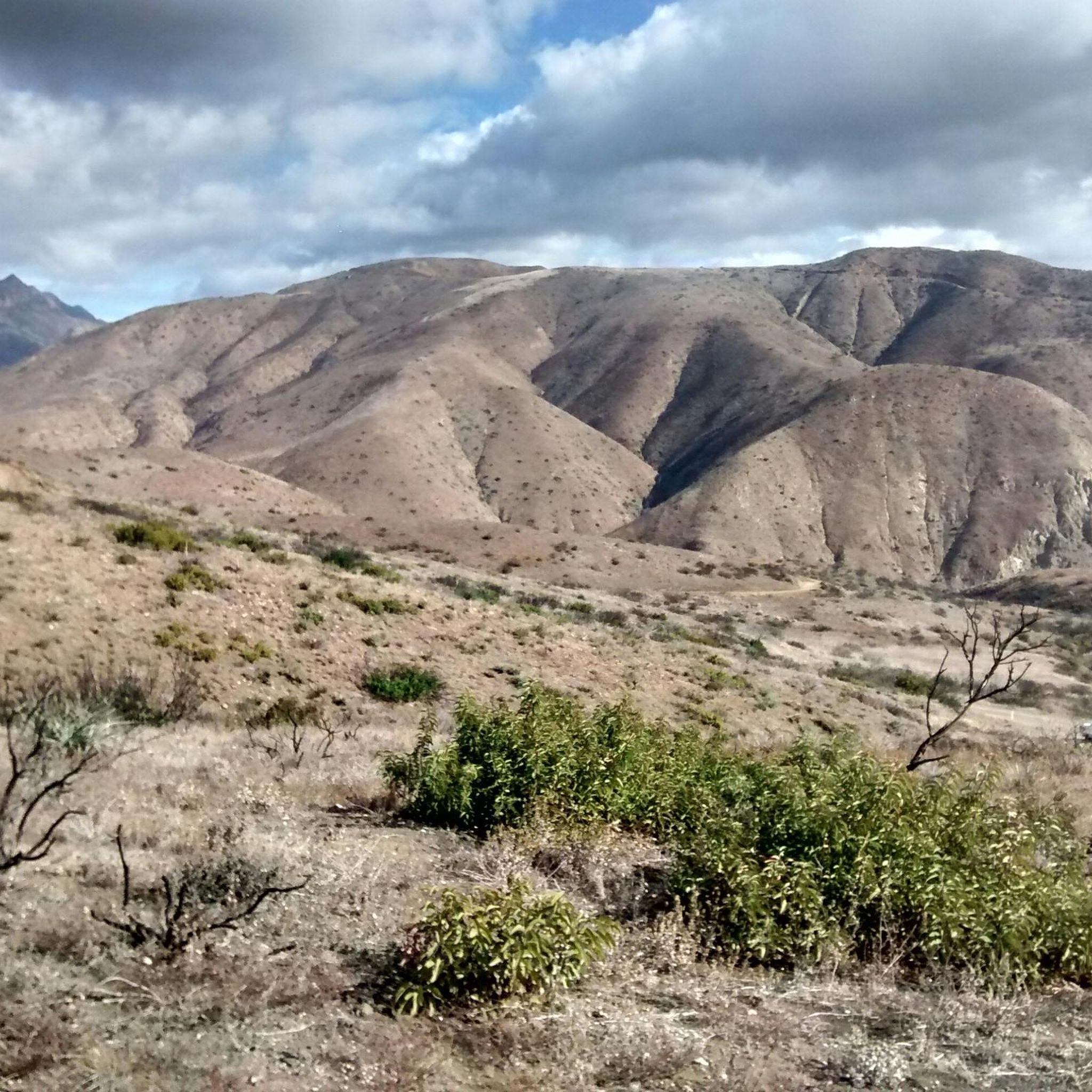
Beautiful area, green everywhere
5
0

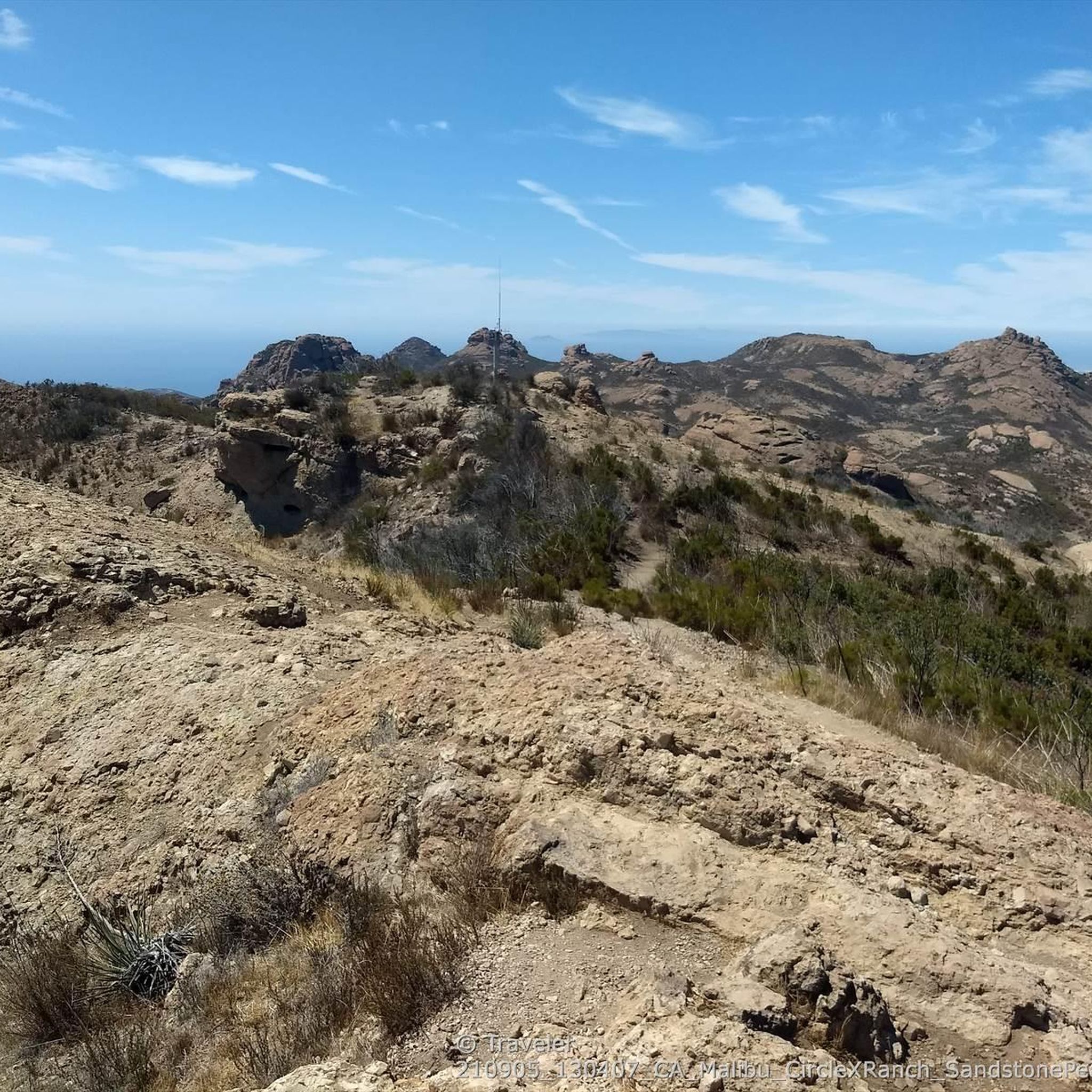
Circle X Ranch features a few different trailheads off of Yerba Buena Road that offer access to different spots on the property. This particular access point serves as the trailhead for the Grotto Trail.
1
0

Neptunes nest is an infamous seafood restaurant with excellent views of the Pacific and beach. Its a perfect spot to take a break and enjoy the views whilst having a bite to eat.
0
0
Frequently Asked Questions
How many road cycling routes are available in Point Mugu State Park?
Point Mugu State Park offers a wide selection of road cycling routes, with over 35 options available. These routes cater to various skill levels, including easy, moderate, and challenging rides.
What kind of terrain can I expect on road cycling routes in Point Mugu State Park?
Road cycling in Point Mugu State Park features diverse terrain. You'll encounter routes with five miles of ocean shoreline, rocky bluffs, sandy beaches, and sand dunes, as well as rugged hills, wide grassy valleys, and two major river canyons. Many routes include both paved and unpaved segments, with significant elevation changes, especially in areas like Sycamore Canyon and the Boney Mountains.
Are there easy road cycling routes suitable for beginners in Point Mugu State Park?
Yes, Point Mugu State Park has several easy road cycling routes. For example, the Dos Vientos Community Center loop from Rancho Sierra Vista/Satwiwa is an easy 15.5-mile (25.0 km) option that offers a more gentle ride.
Where can I find challenging road cycling routes in Point Mugu State Park?
For experienced cyclists seeking a challenge, Point Mugu State Park offers several difficult routes. The Leo Carrillo State Park Beach – Escondido Beach loop from MRCA Open Space is a demanding 50.9-mile (81.9 km) route with significant elevation gain and expansive ocean views. Another challenging option is the West Potrero Road – Lake Sherwood Drive loop from Rancho Sierra Vista/Satwiwa, covering 43.6 miles (70.2 km) with substantial climbs.
What scenic viewpoints can I find along road cycling routes in Point Mugu State Park?
Many road cycling routes in Point Mugu State Park offer stunning vistas. You can find viewpoints such as the Upper Sycamore Overlook and the Ocean Viewpoint, providing expansive views of the Pacific Ocean and the rugged coastline. The park's location along the Pacific Coast Highway ensures numerous opportunities for coastal scenery.
Are there any waterfalls or unique natural features to see while road cycling?
Yes, Point Mugu State Park features unique natural attractions. While cycling, you might be able to access areas near Sycamore Falls. The park also encompasses the dramatic, jagged pinnacles of the Boney Mountains State Wilderness Area, offering a striking backdrop to your ride.
What do other cyclists enjoy most about road cycling in Point Mugu State Park?
The road cycling routes in Point Mugu State Park are highly rated by the komoot community, with an average score of 4.8 stars from over 10 reviews. Cyclists often praise the diverse landscapes, ranging from coastal paths with ocean views to challenging canyon trails, and the variety of routes suitable for different fitness levels.
Are there any loop trails for road cycling in Point Mugu State Park?
Yes, Point Mugu State Park offers numerous loop trails for road cycling. Examples include the Neptune's Net loop from Old Malibu, a moderate 11.4-mile (18.4 km) coastal ride, and the Lake Sherwood Drive – Lake Sherwood loop from Rancho Sierra Vista/Satwiwa, a 37.9-mile (61.0 km) route with varied terrain.
What is the best time of year to go road cycling in Point Mugu State Park?
Point Mugu State Park generally offers pleasant road cycling conditions year-round. However, spring and fall often provide the most comfortable temperatures and clear skies. Summers can be warm, especially in inland canyon areas, while winters are typically mild but may bring occasional rain. Always check local weather forecasts before heading out.
Is there parking available for road cyclists in Point Mugu State Park?
Yes, parking is available at various access points within Point Mugu State Park. Sycamore Canyon Campground is a well-equipped facility that serves as a convenient starting point for many trails and offers parking. Other trailheads and access points along the Pacific Coast Highway also provide parking options.
Can I spot wildlife while road cycling in Point Mugu State Park?
Point Mugu State Park is home to diverse wildlife. While cycling, you might encounter various bird species, rabbits, and deer. It's important to be aware that mountain lions are also present in the area, so always exercise caution and be vigilant, especially during dawn and dusk.
Are there any family-friendly road cycling options in Point Mugu State Park?
While many routes involve significant elevation, some segments, particularly within Sycamore Canyon, offer gentler gradients that can be more suitable for families. The park has a few easy-rated routes, such as the Dos Vientos Community Center loop from Rancho Sierra Vista/Satwiwa, which might be a good starting point for families looking for less strenuous rides.
Most popular routes in Point Mugu State Park
Most popular attractions in Point Mugu State Park

Get inspired with the komoot mobile app


Explore more
Browse the best Road cycling routes in other regions.
