The best running trails in Upper Stevens Creek County Park
4.7
(23)
1,567
runners
81
runs
Jogging routes in Upper Stevens Creek County Park traverse a diverse landscape within the Santa Cruz Mountains, featuring mature Douglas firs and oak woodlands. The park is characterized by varied terrain, including sections along Stevens Creek, open grasslands, and rolling hills. Joggers can expect routes with significant elevation changes, offering a wilderness experience. This region connects to a broader network of open space preserves, providing extensive running opportunities.
Best jogging routes in Upper Stevens Creek County Park
- The most popular…
Last updated: September 27, 2026
11.6km
01:27
520m
520m
Hard run. Very good fitness required. Mostly paved surfaces. Suitable for all skill levels.
1
runners
12.0km
01:20
290m
290m
Moderate run. Good fitness required. Mostly paved surfaces. Suitable for all skill levels.

8
runners
7.35km
00:53
150m
150m
Moderate run. Good fitness required. Mostly paved surfaces. Suitable for all skill levels.
6
runners
Hard run. Good fitness required. Sure-footedness, sturdy shoes and alpine experience required.
5.92km
00:43
150m
150m
Moderate run. Good fitness required. Mostly paved surfaces. Suitable for all skill levels.
Get access to more routes and recommendations from other explorers.
Already have an account?
Our route recommendations are based on thousands of hikes, rides, and runs completed by other people on komoot.
Start today with a free account
Your next adventure awaits.

Tips from the Community

Turtle Rock is the highest and most prominent mountain in the area. From this viewpoint, you can enjoy a panoramic view of the surrounding mountains, especially stunning at sunset. Be cautious, as the trail is popular and often busy with hikers.
1
0

Saratoga Gap is a well-known convergence area for two well-known trails, namely the Saratoga Gap Trail and the Skyline Trail. Both of these trails are mainly single-track and orientated towards gravel or mountain bikes. However, it is also the intersection for the Skyline Boulevard and the Big Basin Way, both very scenic and great cycling roads. There is a car park here, but no facilities.
1
0

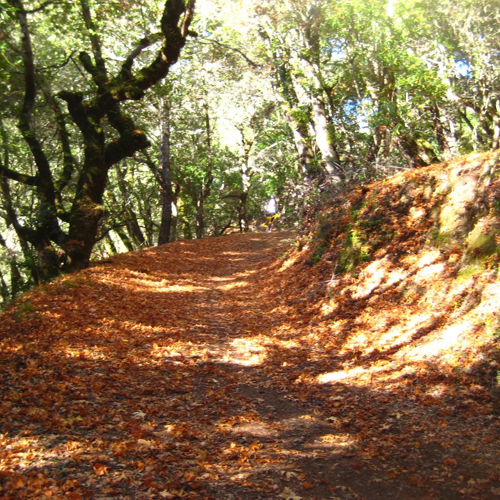
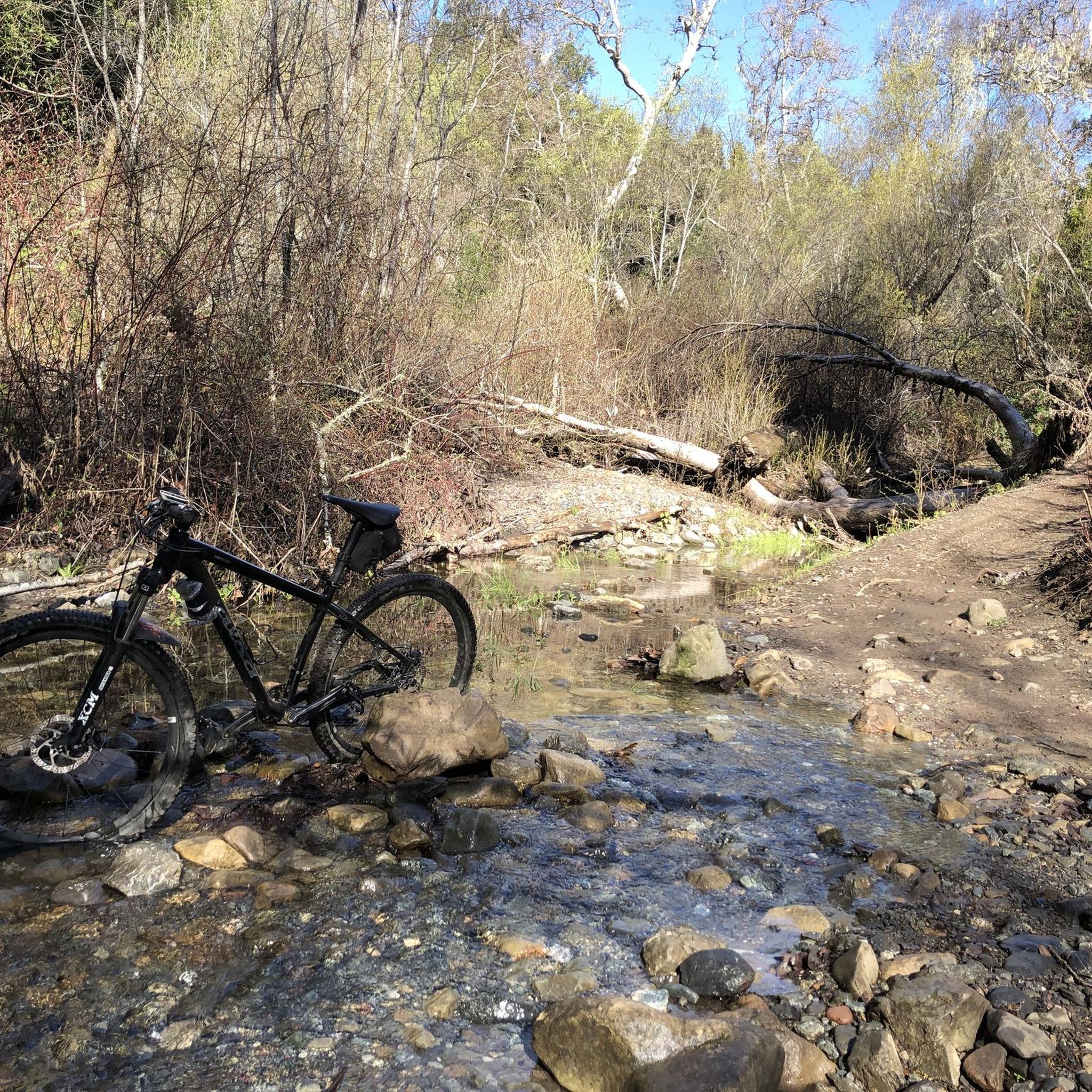
This beautiful trail passes through madrone and oak woods before emerging into grasslands peppered with very large old oak trees. The wooded areas on the route are a welcome relief on a hot day. The trail runs along Steven Creek and its tributaries, offering a lush forest floor ladened with wild rose, ferns and gooseberry under the California bay and big-leaf maple trees.
0
0

Table Mountain Trail winds through a valley with plenty of tree coverage, as well as a nice mix of exposed sections so you can see the rolling hills. There isn't any awe-inspiring overlook, so this isn't the best location if you want views, but great for if you just want a fast loop to train on.
0
0
Turtle Rock gets its name because it looks like a little turtle with its head sticking up. This is a stunning spot to take a break and enjoy the overlook of the rolling hills and clouds roaming through the valleys.
0
0
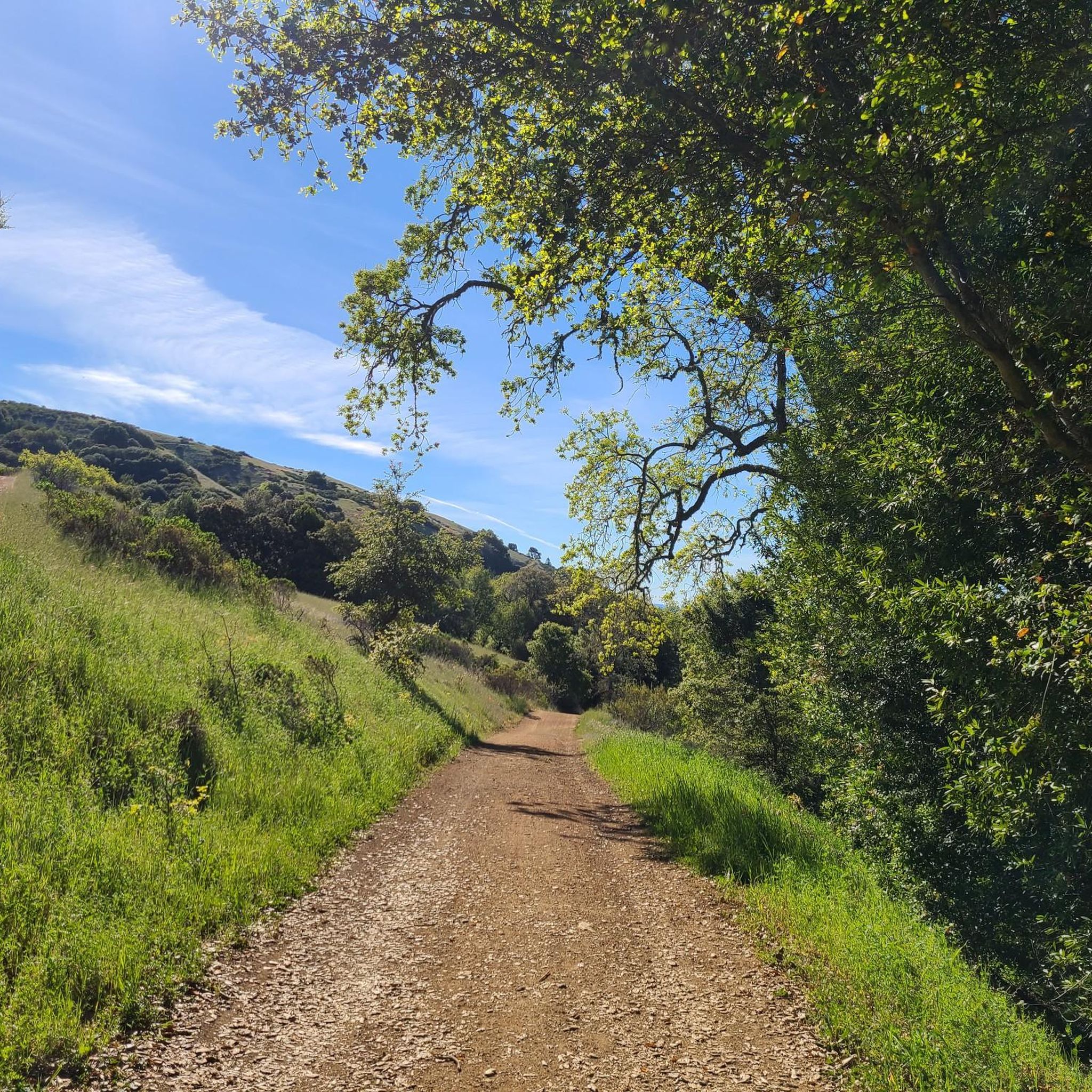
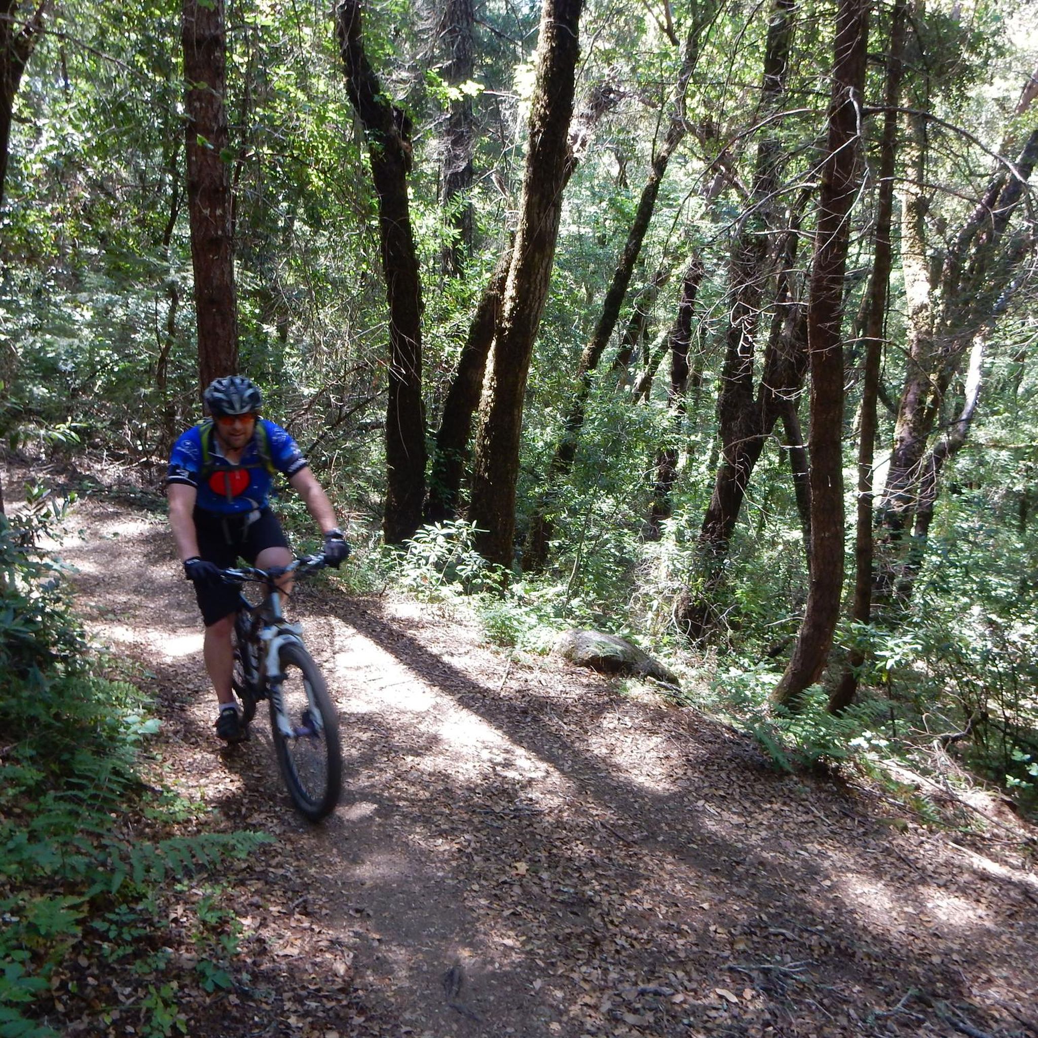
White Oak Trail is a nice flowy single track trail that meanders through a mixture of open grassland and shaded oak forests. You can enjoy both lowland views for plants/wildlife, and scenic overlooks.
0
0

Saratoga Gap Trail here meets Skyline Trail after crossing Canyon Springs Rd, just east of the big intersection. The road and trailhead parking are the only interruption in otherwise pure bliss single track trails.
0
1

Frequently Asked Questions
How many running trails are available in Upper Stevens Creek County Park?
Based on komoot data, there are over 80 running routes in Upper Stevens Creek County Park, catering to various fitness levels and preferences.
Are there running routes suitable for beginners in Upper Stevens Creek County Park?
Yes, the park offers a range of options. While many routes have significant elevation changes, there are 8 easy routes and 47 moderate routes available. Some trails, like those with mostly paved surfaces and less elevation gain, are suitable for those new to trail running.
What kind of terrain can I expect on the jogging routes in Upper Stevens Creek County Park?
Joggers can expect a diverse landscape, including mature Douglas firs and oak woodlands, sections along Stevens Creek, open grasslands, and rolling hills. The terrain varies from mostly paved surfaces to more challenging paths with loose rock and steep climbs, offering a true wilderness experience.
Are there any loop running routes in Upper Stevens Creek County Park?
Yes, the park features several loop options. A notable moderate loop is the White Oak and Stevens Creek Nature Trail Loop, which is 3.7 miles long and features oak woodlands and canyon views. For a more challenging loop, consider the Grizzly Flat Trail to Table Mountain Loop.
What are some interesting natural features or viewpoints along the running trails?
The park boasts diverse forests with Douglas firs and various oak species, the serene riparian environment of Stevens Creek, and open grasslands with rolling hills. The Achistaca Trail to Turtle Rock, for example, provides views of oak forests and distant ocean vistas. You might also encounter unique sandstone clearings and small Indian grinding bowls.
Is Upper Stevens Creek County Park suitable for family-friendly running or walks?
Yes, the park offers options for families. While some trails are challenging, there are moderate routes like the White Oak and Stevens Creek Nature Trail Loop that are suitable for a family outing, offering a pleasant experience through oak woodlands.
What is the best time of year to go running in Upper Stevens Creek County Park?
The park offers year-round appeal. Black oaks display vibrant fall colors, and manzanita blooms in winter. Late spring is particularly favored for the peak bloom of chaparral shrubs like bush poppy and chaparral pea, making it a beautiful time to visit.
Are dogs allowed on the running trails in Upper Stevens Creek County Park?
The region research does not explicitly state the park's dog policy. It's always best to check the official Upper Stevens Creek County Park website or local signage for current regulations regarding dogs on trails before your visit.
What do other runners enjoy most about jogging in Upper Stevens Creek County Park?
The area is highly rated by the komoot community, with an average score of 4.8 stars from over 29 reviews. Reviewers often praise the diverse terrain, the wilderness experience, and the connectivity to a broader network of open space preserves, offering extensive running opportunities.
Are there any long-distance running routes available by connecting trails?
Yes, the park's connectivity allows for extended jogs by combining trails across multiple preserves. For instance, an 8.5-mile route can be created utilizing sections of the Bay Area Ridge Trail, Charcoal Road, Table Mountain Trail, Canyon Trail, Grizzly Flat Trail, Peters Creek Trail, and Hickory Oaks Trail.
What are the typical elevation gains on running routes in Upper Stevens Creek County Park?
Elevation gains vary significantly. Some routes offer up to 3 miles with 330 feet of elevation gain, while more demanding routes extend over 10 miles with more than 1000 feet of elevation gain, requiring good to very good fitness.
What are the operating hours for Upper Stevens Creek County Park?
Upper Stevens Creek County Park is open year-round from 8:00 a.m. until sunset, making it accessible for regular outdoor pursuits.
Most popular routes in Upper Stevens Creek County Park

Get inspired with the komoot mobile app


Explore more
Browse the best Running Trails & Routes in other regions.
