Lexington Reservoir County Park (Closed Area)
Lexington Reservoir County Park (Closed Area)
The best running trails in Lexington Reservoir County Park (Closed Area)
4.3
(4)
901
runners
56
runs
Jogging in Lexington Reservoir County Park (Closed Area) offers a diverse landscape for runners, featuring a tranquil reservoir surrounded by rolling hills and lush greenery. The park's topography includes a mix of paved surfaces, gravel paths, and dirt trails, accommodating various fitness levels. Runners can explore wooded areas along creeks or chaparral terrain with prevalent plants like manzanita. Panoramic views of the reservoir and surrounding hills are available from several vantage points.
Best jogging routes in Lexington Reservoir County Park (Closed Area)
- The most popular jogging route is Redwood Springs Trail via Alma Trail loop — Bear Creek Redwoods Open Space Preserve, a 5.3 miles (8.6 km) trail that takes 1 hour 11 minutes to complete. This difficult route winds through shaded redwood springs and offers a challenging ascent.
- Another top favourite among local runners is Jones Trail to Manzanita Trail loop — St. Joseph's Hill Open Space Preserve, a moderate 3.2 miles (5.2 km) path. This route features chaparral terrain and offers views of the surrounding open space.
- Local runners also love the Priest Rock Trail — Sierra Azul Open Space Preserve, a 7.7 miles (12.3 km) trail leading through varied terrain with significant elevation changes, often completed in about 1 hour 51 minutes.
- Jogging in Lexington Reservoir County Park (Closed Area) is defined by a tranquil reservoir, rolling hills, and diverse wooded and chaparral terrains. The extensive trail network offers options for different ability levels, from relatively flat paths to challenging ascents.
- The routes in Lexington Reservoir County Park (Closed Area) are highly rated by the komoot community with an average score of 4.0 stars from over 6 reviews. More than 1000 runners have used komoot to explore Lexington Reservoir County Park (Closed Area)'s varied terrain.
Last updated: May 13, 2026
15
runners
8.55km
01:11
310m
310m
Prepare for a challenging jogging experience on the Alma and Redwood Springs Loop, a difficult route spanning 5.3 miles (8.6 km). You will gain 1020 feet (311 metres) in elevation over an estimated 1 hour and 11 minutes, making this a strenuous workout. The trail winds through a predominantly forested environment, offering dense tree canopies that provide ample shade. As you jog, you will encounter attractive redwood groves along Webb Creek, part of the Old-Growth Redwoods in Bear Creek Redwoods Open Space Preserve. This serene setting is perfect for birding, and you might spot ferns, mosses, and wildflowers along the way.
When planning your visit, note that the Alma and Redwood Springs Loop is largely shaded, which can make jogging pleasant even during the middle of the day. Due to the constant climbing involved, it is highly recommended that you carry plenty of water to stay hydrated. Parking is conveniently available at the Bear Creek Redwoods Alma Parking Area, so you can easily access the trailhead.
This route is situated within the Bear Creek Redwoods Open Space Preserve, an area known for its significant natural beauty. The presence of old-growth redwoods along Webb Creek highlights the ecological importance of this preserve. While the Madrone Knoll itself may not offer expansive views, the overall environment provides a deep immersion into a vibrant forest ecosystem.
10
runners
5.16km
00:39
180m
180m
Jog the moderate 3.2-mile Manzanita and Jones Trail Loop in St. Joseph's Hill Open Space Preserve, gaining 576 feet with Silicon Valley view

Sign up for free
7
runners
12.3km
01:51
600m
600m
Jog the challenging 7.7-mile Bay Area Ridge Trail from Priest Rock to Kennedy Knob in Sierra Azul Open Space Preserve, gaining 1955 feet.
5.0
(1)
16
runners
Hard run. Very good fitness required. Mostly paved surfaces. Suitable for all skill levels.
8
runners
Moderate run. Good fitness required. Mostly paved surfaces. Suitable for all skill levels.
Get access to more routes and recommendations from other explorers.
Sign up for free
Already have an account?
Our route recommendations are based on thousands of hikes, rides, and runs completed by other people on komoot.
Start today with a free account
Your next adventure awaits.
Login or Signup
Popular around Lexington Reservoir County Park (Closed Area)
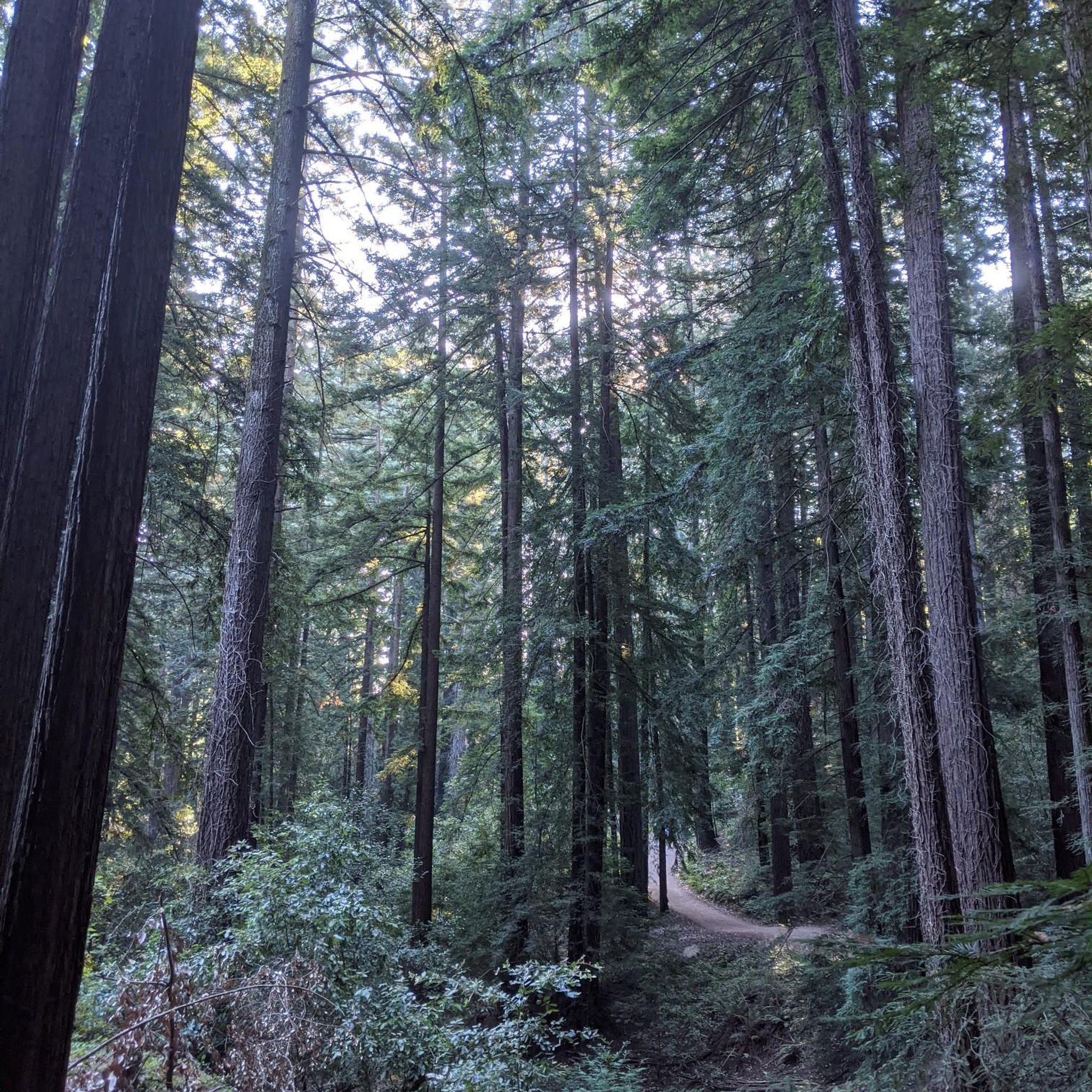
Hiking in Lexington Reservoir County Park (Closed Area)
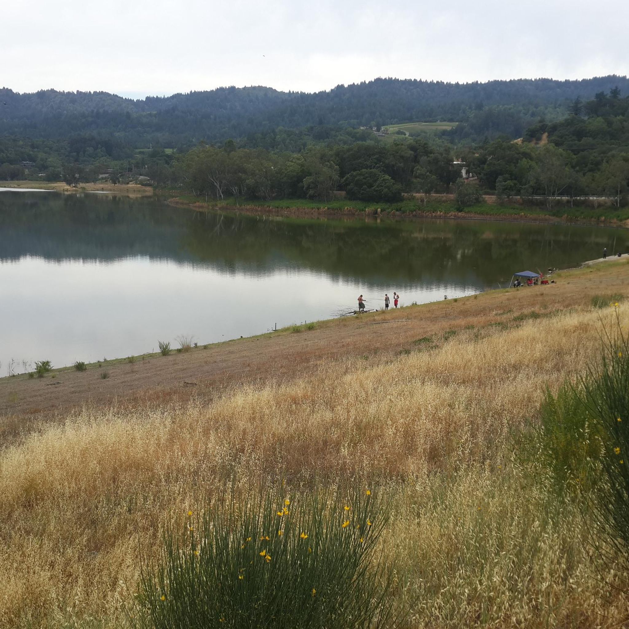
MTB Trails in Lexington Reservoir County Park (Closed Area)
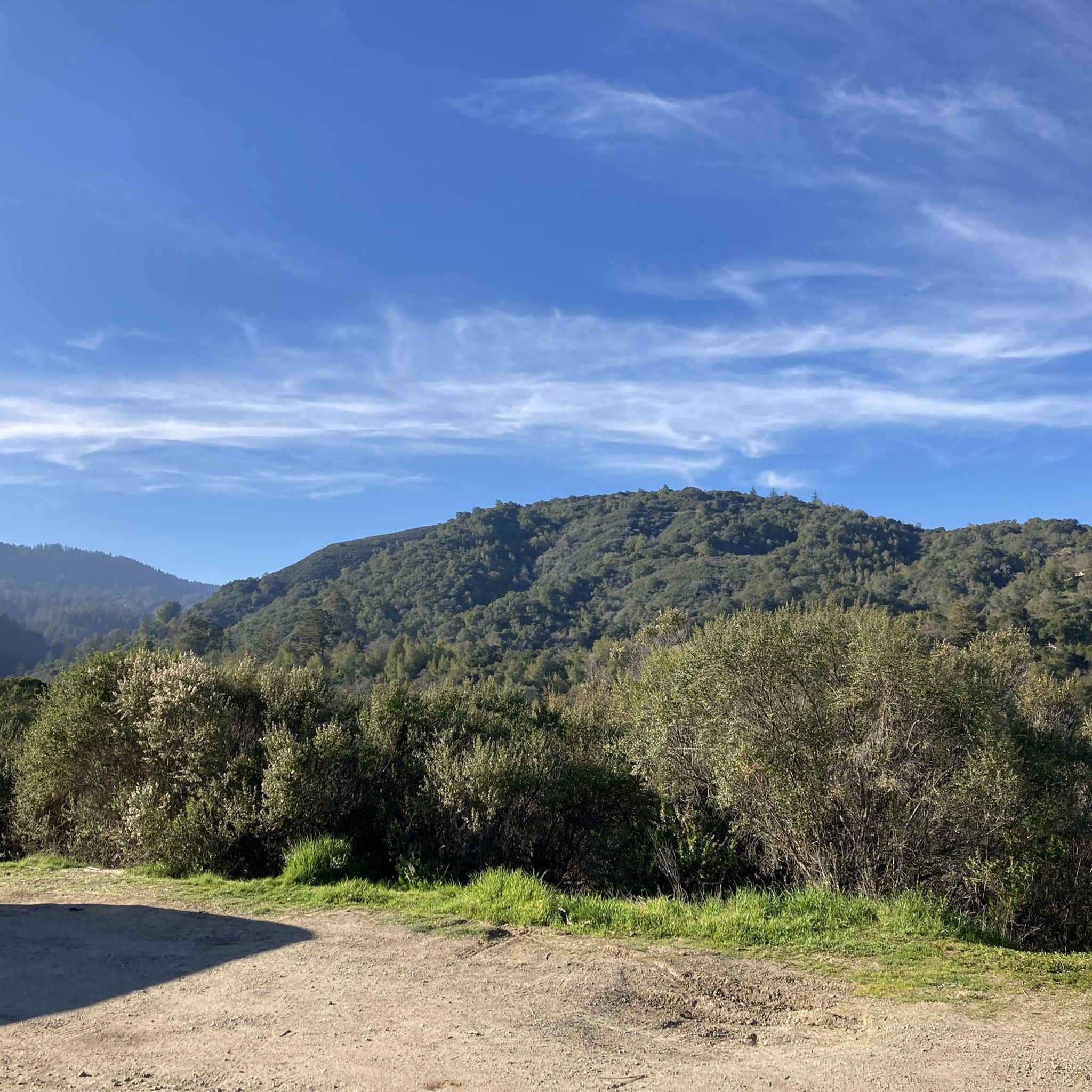
Road Cycling Routes in Lexington Reservoir County Park (Closed Area)
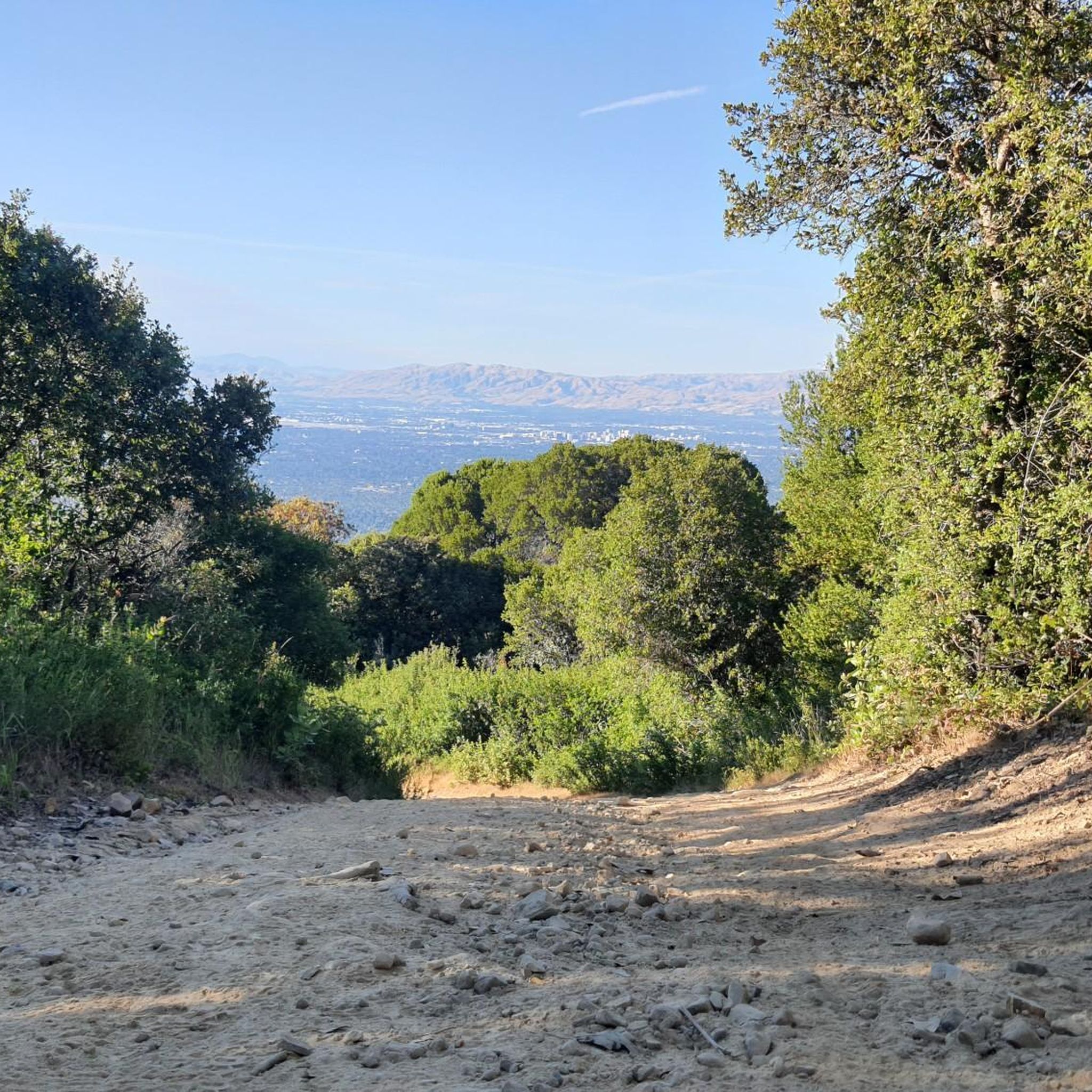
Cycling in Lexington Reservoir County Park (Closed Area)
Gravel biking in Lexington Reservoir County Park (Closed Area)
Tips from the Community

The Priest Rock Trail in Los Gatos offers runners a tough but rewarding challenge with steep climbs and stunning views of the Santa Clara Valley. Its mix of shaded sections and open ridges provides variety, making it ideal for hill training. Start early to beat the heat and enjoy quieter trails.
0
0

Three of the most popular area trails come together here; depending on how ambitious you are, you might return to this juncture several times as you crank through the forested hills.
1
0

Ascending just a few hundred feet along Priestrock Trail toward Sierra Azul Open Space reveals expansive vistas overlooking the tranquil, turquoise-blue waters of Lexington Reservoir.
0
0

This is the highest point in the Sierra Azul Open Space Preserve. From here, you can enjoy views of the nearby mountains, with the possibility of spotting Mount Umunhum and Mount Thayer. The ascent involves a consistent elevation gain, providing a steady and rewarding experience.
2
0

An old growth grove of Redwood Trees, famous to Norther California. This old growth forest has a rich ecosystem and thick canopy, keeping the trails nice and shaded.
0
0

The summit of Saint Josephs Hill offers views of Los Gatos Creek valley into Silicon Valley and of the Lexington Reservoir. A couple benches and a fence mark the summit of the hill and serve as a good spot for a break while you take in the view.
0
0
This is the highest point in the Sierra Azul Open Space Preserve. From here, you can enjoy views of the nearby mountains, with the possibility of spotting Mount Umunhum and Mount Thayer. The ascent involves a consistent elevation gain, providing a steady and rewarding hiking experience.
0
0

The upper section of Kennedy Trail is mostly flat along a gentle ridge that slopes slowly north from Limekiln to Priestrock Trail. The longer, northern section then descends rapidly in switchbacks to Kennedy Road. It is a wide doubletrack dirt fire road, suitable for any bike.
0
0
Frequently Asked Questions
How many running routes are available in Lexington Reservoir County Park?
Lexington Reservoir County Park offers a wide selection of running routes, with over 50 trails to explore. These routes cater to various fitness levels, from easy strolls to challenging ascents.
Are there any easy running trails suitable for beginners or families in Lexington Reservoir County Park?
Yes, the park features several easier options. The Los Gatos Creek Trail, for instance, is a wide gravel path that is relatively flat and accessible, making it ideal for beginners or a family run. Overall, there are 4 easy routes available in the park.
What kind of terrain can I expect on the jogging routes in Lexington Reservoir County Park?
The park offers a diverse mix of terrains. You'll find mostly paved surfaces, gravel paths, and dirt trails. Some routes wind through shaded wooded areas, while others traverse chaparral terrain with plants like manzanita, providing varied experiences for runners.
Are there any circular running routes in Lexington Reservoir County Park?
Yes, many of the park's trails are designed as loops or can be combined to form circular routes. For example, the Jones Trail to Manzanita Trail loop — St. Joseph's Hill Open Space Preserve is a moderate 3.2-mile loop that offers views of the surrounding open space.
Can I bring my dog on the running trails in Lexington Reservoir County Park?
Lexington Reservoir County Park is generally dog-friendly, but it's always best to check specific trail regulations for leash requirements and any restricted areas before you go. Many trails allow leashed dogs, making it a great place to run with your canine companion.
What are some challenging running routes for experienced runners in the park?
For those seeking a more rigorous workout, trails like the Priest Rock Trail — Sierra Azul Open Space Preserve offer significant elevation changes over 7.7 miles. Another demanding option is the Redwood Springs Trail via Alma Trail loop — Bear Creek Redwoods Open Space Preserve, a difficult 5.3-mile route with a challenging ascent through shaded redwood springs.
Are there good viewpoints or landmarks along the running trails?
Absolutely. From several locations within the park, particularly from the top of the Lenihan Dam, you can enjoy splendid panoramic views across the tranquil reservoir and of the surrounding hills, including the El Sereno Open Space Preserve. The reservoir itself is a beautiful centerpiece for many routes.
What is the best time of day or year to go running in Lexington Reservoir County Park?
The park is open year-round from 8 a.m. to sunset for general day use. Early mornings or late afternoons are often ideal for running, especially during warmer months, to enjoy cooler temperatures and potentially spot wildlife. The tranquil reservoir and lush greenery are beautiful in all seasons.
What do other runners enjoy most about jogging in Lexington Reservoir County Park?
The area is highly rated by the komoot community, with an average score of 4.0 stars. Runners often praise the peaceful ambiance, the stunning views of the reservoir, and the variety of trails that cater to different fitness levels, from flat paths to challenging ascents.
Is there parking available for accessing the running trails?
Yes, Lexington Reservoir County Park offers multiple entrances and parking areas. The main entrance is located on Alma Bridge Road, providing convenient access to the park's extensive trail network.
Can I see wildlife while running in Lexington Reservoir County Park?
Yes, the park offers opportunities to spot various wildlife. Joggers may encounter deer, diverse bird species such as herons and egrets, and occasionally even bobcats, adding an element of natural discovery to their exercise.
Are there any long-distance running options that connect to other open spaces?
Yes, Lexington Reservoir County Park is part of the broader Bay Area Ridge Trail network and connects to other open spaces and preserves. For example, the Mount El Sombroso loop from Lexington Reservoir County Park is a challenging 12.6-mile route that extends into adjacent areas, offering a significant long-distance run.
Most popular routes in Lexington Reservoir County Park (Closed Area)

Get inspired with the komoot mobile app


Explore more
Browse the best Running Trails & Routes in other regions.
