The best walks and hikes in St. Joseph'S Hill Open Space Preserve
4.5
(135)
2,349
hikers
78
hikes
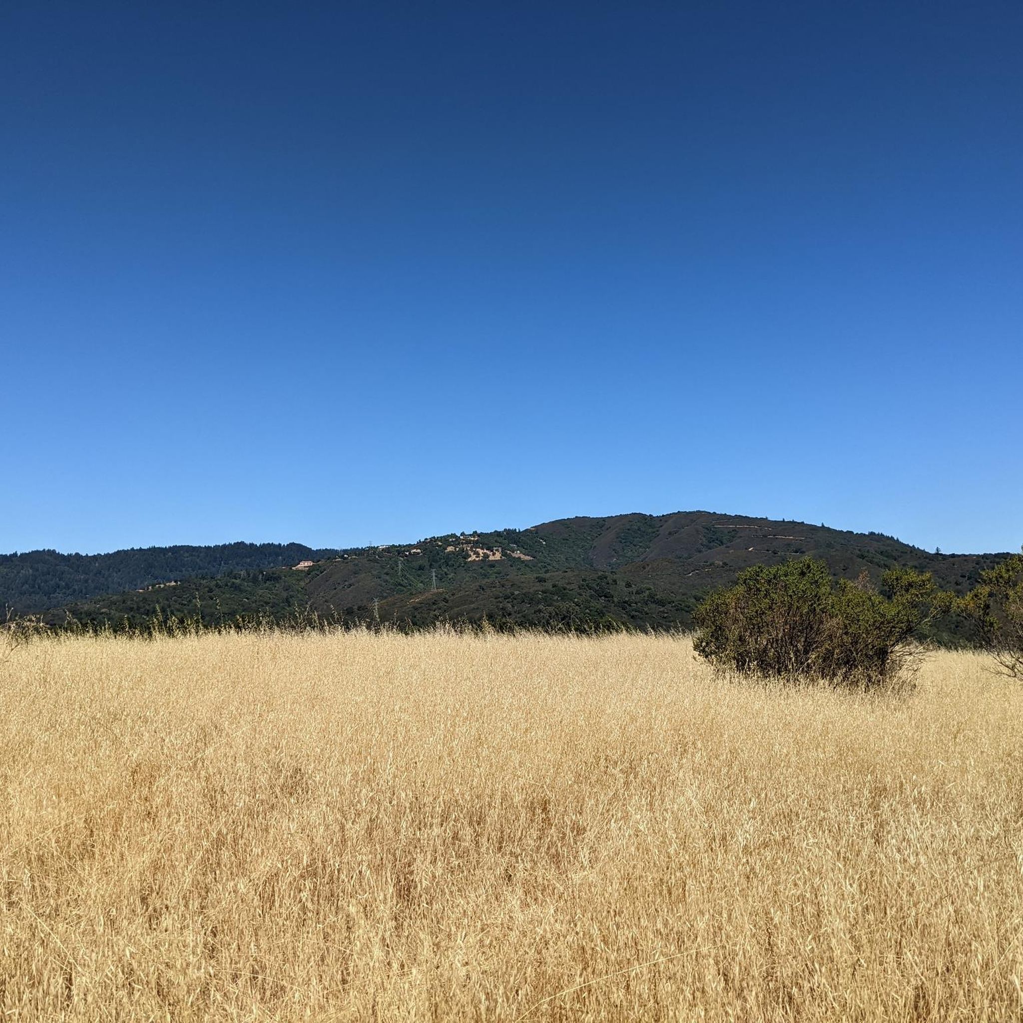
Hikes in St. Joseph's Hill Open Space Preserve navigate a 273-acre area of rolling hills located near Los Gatos. The terrain is a mix of grassland, chaparral, and oak woodland, with some trails featuring steep, rocky sections. Many routes provide open views of the surrounding Santa Clara Valley and the adjacent Lexington Reservoir.
Best hiking trails in St. Joseph's Hill Open Space Preserve
- The most popular hiking route is Saint Josephs Hill Summit — Saint Josephs Hill Open Space Preserve, a 3.3 mile (5.3 km) trail that takes about 1 hour 36 minutes to complete. The route involves a steady climb to the summit area.
- Another top favourite among local hiking enthusiasts is Flume Trail loop from Los Gatos, an easy 3.9 mile (6.3 km) path. This route follows historic trail sections with some shaded woodland segments.
- Local hiking enthusiasts also love the Sierra Azul Open Space – Limekiln Trail loop from Lexington Reservoir County Park, a 7.0 mile (11.2 km) trail leading through the adjacent open space, often completed in about 3 hours 45 minutes.
- Hiking in St. Joseph's Hill Open Space Preserve is defined by sun-exposed grasslands, oak woodlands, and chaparral-covered slopes. The trail network offers routes for different ability levels, from short loops to more challenging climbs.
- The routes in St. Joseph's Hill Open Space Preserve are highly rated by the komoot community with an average score of 4.5 stars from over 100 reviews. More than 2,000 hikers have used komoot to explore St. Joseph's Hill Open Space Preserve's varied terrain.
Last updated: October 5, 2026
2
hikers
6.77km
02:23
590m
30m
Moderate hike. Good fitness required. Easily-accessible paths. Suitable for all skill levels.
7.94km
02:46
670m
40m
Moderate hike. Good fitness required. Easily-accessible paths. Suitable for all skill levels.

4.5
(12)
81
hikers
5.31km
01:36
180m
180m
Easy hike. Great for any fitness level. Easily-accessible paths. Suitable for all skill levels.
5.0
(4)
118
hikers
Easy hike. Great for any fitness level. Easily-accessible paths. Suitable for all skill levels.
16
hikers
5.32km
01:39
200m
200m
Easy hike. Great for any fitness level. Easily-accessible paths. Suitable for all skill levels.
Get access to more routes and recommendations from other explorers.
Already have an account?
Our route recommendations are based on thousands of hikes, rides, and runs completed by other people on komoot.
Start today with a free account
Your next adventure awaits.
Popular around St. Joseph'S Hill Open Space Preserve

Tips from the Community

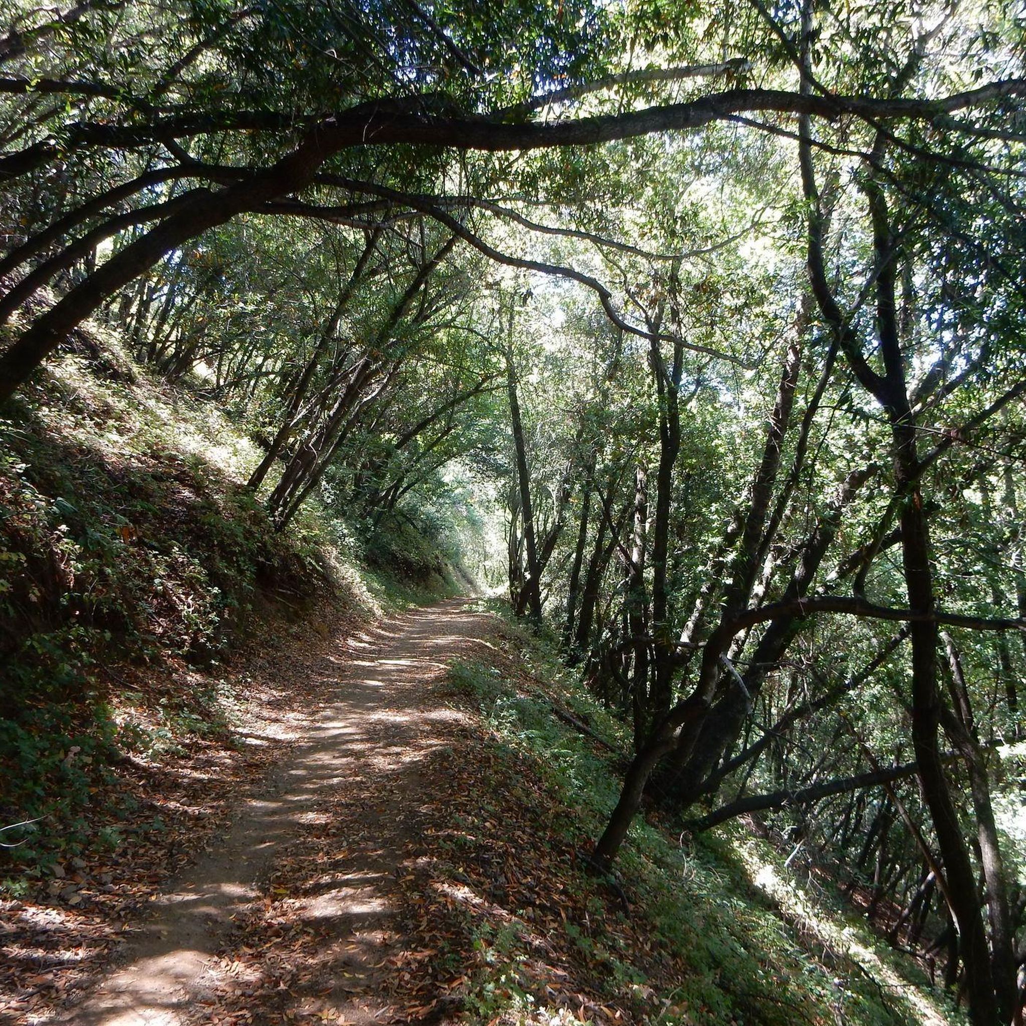
Three of the most popular area trails come together here; depending on how ambitious you are, you might return to this juncture several times as you crank through the forested hills.
1
0

From the top of the dam you get splendid views out across Lexington Reservoir. To the north you overlook the winding end of the Los Gatos Creek Trail, which connects to the Jones Trail across from the restroom just up the road. The dam itself was constructed in 1952 and stands at nearly 200 feet tall.
0
0

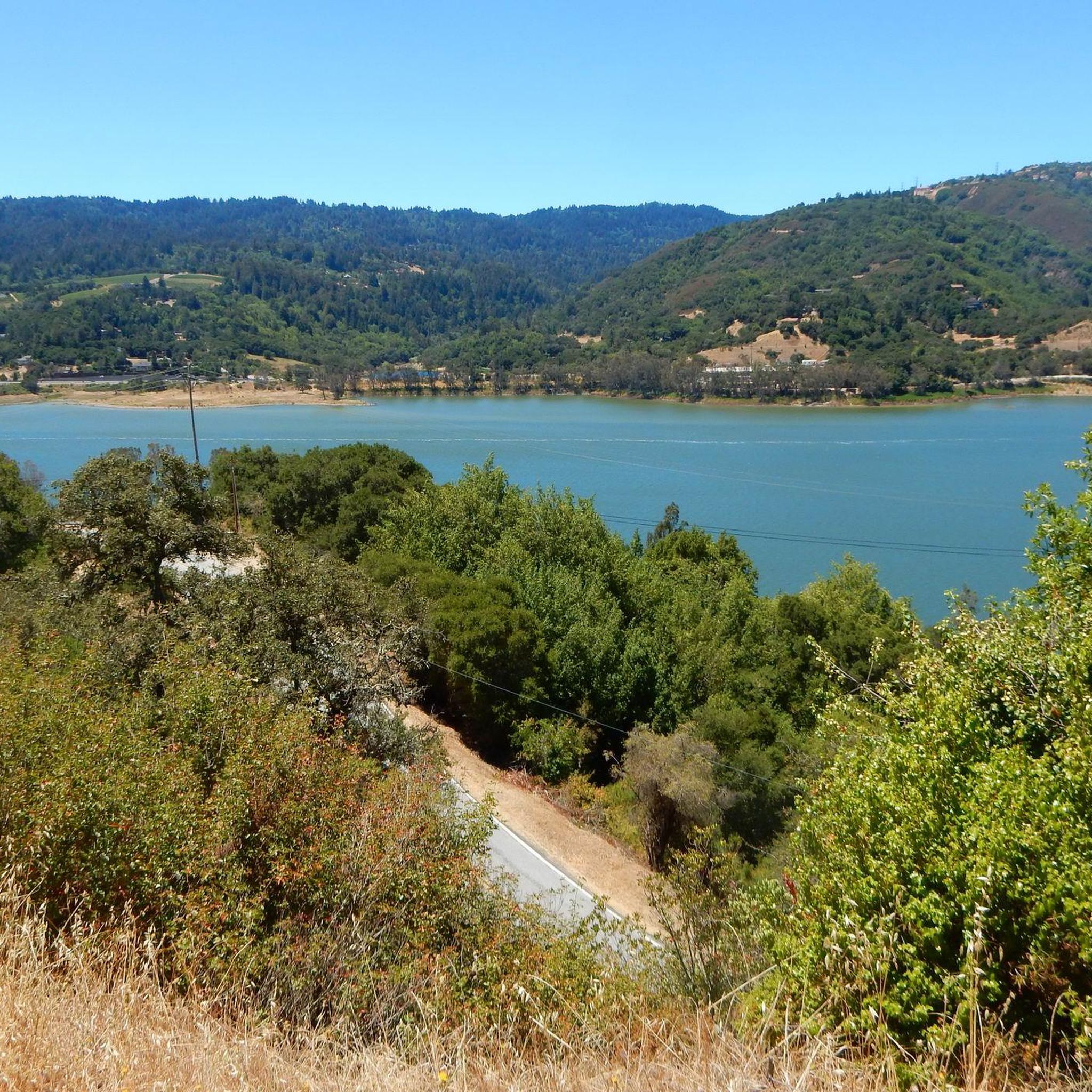
Ascending just a few hundred feet along Priestrock Trail toward Sierra Azul Open Space reveals expansive vistas overlooking the tranquil, turquoise-blue waters of Lexington Reservoir.
0
0

St. Joseph's Hill Open Space Preserve serves as a scenic backdrop to the nearby town of Los Gato. It is a reserve that protects 273-acres of open space land on top of the 1,250-foot hill from which it takes its name. It is a classic wilderness area but it is busy with hikers, riders, equestrians and dog walkers. This is for a good reason as there is a wide variety of good trails in the area. When you are riding here, most of the trails are best done on a gravel bike or on decent touring tires.
0
0
Serving as a scenic backdrop to the town of Los Gatos, St. Joseph's Hill is a 1,250-foot hill that looks down Los Gatos Creek valley and down over nearby Lexington Reservoir. It is also the summit of the Manzanita trail, which is a classic ride best done on a gravel bike.
0
0

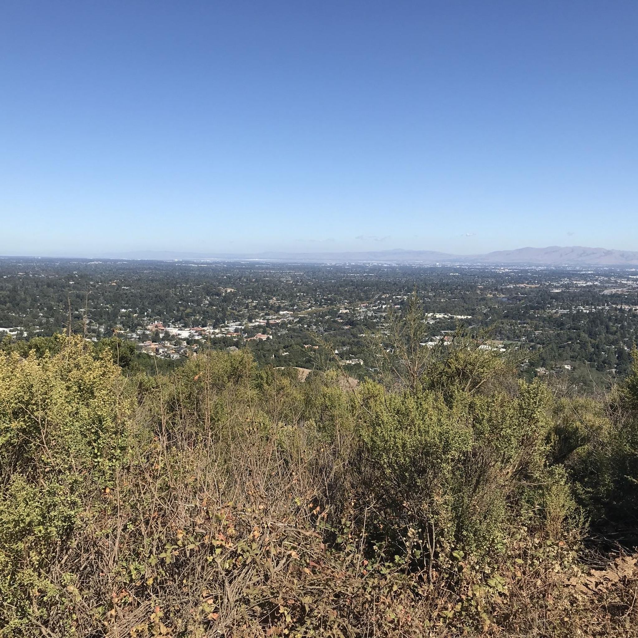
The summit of Saint Josephs Hill offers views of Los Gatos Creek valley into Silicon Valley and of the Lexington Reservoir. A couple benches and a fence mark the summit of the hill and serve as a good spot for a break while you take in the view.
0
0

Get an elevated view of the 338 acre man-made Lexington Reservoir
0
0

This is the third-largest reservoir in Santa Clara County. It sits at the foot of the Santa Cruz Mountains.
1
0
Frequently Asked Questions
Are dogs allowed in St. Joseph's Hill Open Space Preserve?
Yes, leashed dogs are welcome on all trails within the preserve, making it a great place to hike with your canine companion.
How do I get to the trails and where can I park?
The preserve is located about a mile from downtown Los Gatos. The primary access point is through Novitiate Park, with street parking available nearby. Another popular starting point is from the parking areas at Lexington Reservoir County Park, which connects to the preserve's trail network.
Are there any easy, family-friendly hikes in the preserve?
Yes, there are several easier options. While many trails involve an initial steep climb, the Flume Trail loop from Lexington Reservoir County Park is a relatively gentle walk that explores some of the preserve's historic and shaded sections, making it suitable for a wider range of fitness levels.
Which trails offer the best views?
Many trails provide excellent panoramic views of the Lexington Reservoir and Santa Clara Valley. For a route that leads directly to some of the best viewpoints, consider the Saint Josephs Hill summit loop from Los Gatos. You'll find benches strategically placed at vista points, perfect for a rest.
What is the terrain like in St. Joseph's Hill Open Space Preserve?
The terrain is quite varied. Expect a mix of sun-exposed grasslands, chaparral-covered slopes, and shady oak woodlands. Some trails, like the Jones Trail, feature steep and rocky ascents, while others, such as the Novitiate Trail, are wider and more gently graded.
What kind of wildlife might I see?
The preserve is a rich habitat for local wildlife. It's common to spot deer in the grassy areas, especially during the morning or evening. The area is also part of a crucial wildlife corridor, known for its population of migrating newts.
What do other hikers enjoy most about the preserve?
The area is highly rated by the komoot community. Reviewers often praise the stunning views of Lexington Reservoir, the variety of trails suitable for different fitness levels, and the convenience of being so close to Los Gatos.
Are the trails suitable for trail running?
Yes, St. Joseph's Hill is a popular destination for trail runners. The network of trails offers a good mix of challenging climbs and rolling hills. The preserve's approximately 19 miles of trails provide plenty of options for creating loops of various lengths and difficulties.
How difficult is the Serpentine Trail?
The Serpentine Trail is a short, singletrack section known for being more technical. It features rocky areas and some tight turns, offering a fun challenge for hikers and mountain bikers looking for more varied terrain compared to the wider fire roads in the preserve.
When is the best time to see wildflowers?
Spring is the ideal time to visit if you want to see wildflowers. During this season, the preserve's grasslands and hillsides are often covered in colorful blooms, adding to the scenic beauty of the hikes.
What are the preserve's operating hours?
The preserve is typically open from dawn until one half-hour after sunset. It's always a good practice to check the official Midpeninsula Regional Open Space District website for the most current hours and any potential trail closures before you go.
Most popular routes in St. Joseph'S Hill Open Space Preserve
Most popular attractions in St. Joseph'S Hill Open Space Preserve

Get inspired with the komoot mobile app


Explore more
Browse the best Hikes in other regions.
