Máyyan 'Ooyákma – Coyote Ridge Open Space Preserve
Máyyan 'Ooyákma – Coyote Ridge Open Space Preserve
The best walks and hikes in Máyyan 'Ooyákma – Coyote Ridge Open Space Preserve
4.7
(53)
583
hikers
33
hikes
Hiking trails in Máyyan 'Ooyákma – Coyote Ridge Open Space Preserve traverse a unique serpentine grassland ecosystem, characterized by rolling hills and oak woodlands. The preserve features a ridgeline offering nearly 1,400 feet of elevation gain, providing panoramic views of the Coyote Valley and Santa Clara Valley. This landscape supports diverse flora and fauna, making it a significant biodiversity hotspot. Hikers can explore trails that wind through these distinctive natural features.
Best hiking trails in Máyyan 'Ooyákma – Coyote Ridge…
Last updated: August 4, 2026
11
hikers
8.74km
02:39
280m
280m
Hike the Bay Checkerspot, Tule Elk, and Serpentine Spring Trail Loop for moderate climbs, sweeping views, and rare wildlife sightings.
3.52km
00:54
20m
10m
The Coyote Creek and Ogier Ponds Trail offers a wonderfully flat and accessible outdoor experience, perfect for a leisurely stroll. You'll follow the winding Coyote Creek, enjoying diverse riparian scenery…

Sign up for free
6.20km
01:34
0m
10m
The Coyote Creek Trail offers a delightful and accessible journey through San Jose's diverse landscapes, blending urban convenience with natural beauty. You'll follow the meandering Coyote Creek, passing by tranquil…
15.4km
03:56
70m
20m
Hike the 9.6-mile (15.4 km) moderate Coyote Creek Trail, enjoying creek views, wildlife, and easy terrain in Coyote Creek Parkway.
1.46km
00:23
0m
20m
This segment of the Coyote Creek Trail offers a delightful, easy stroll along the winding creek, providing a quick escape into nature. You'll enjoy views of the water and open…
Get access to more routes and recommendations from other explorers.
Sign up for free
Already have an account?
Our route recommendations are based on thousands of hikes, rides, and runs completed by other people on komoot.
Start today with a free account
Your next adventure awaits.
Login or Signup
Popular around Máyyan 'Ooyákma – Coyote Ridge Open Space Preserve

Bay Area Ridge Trail — Hiking the backbone of The Bay
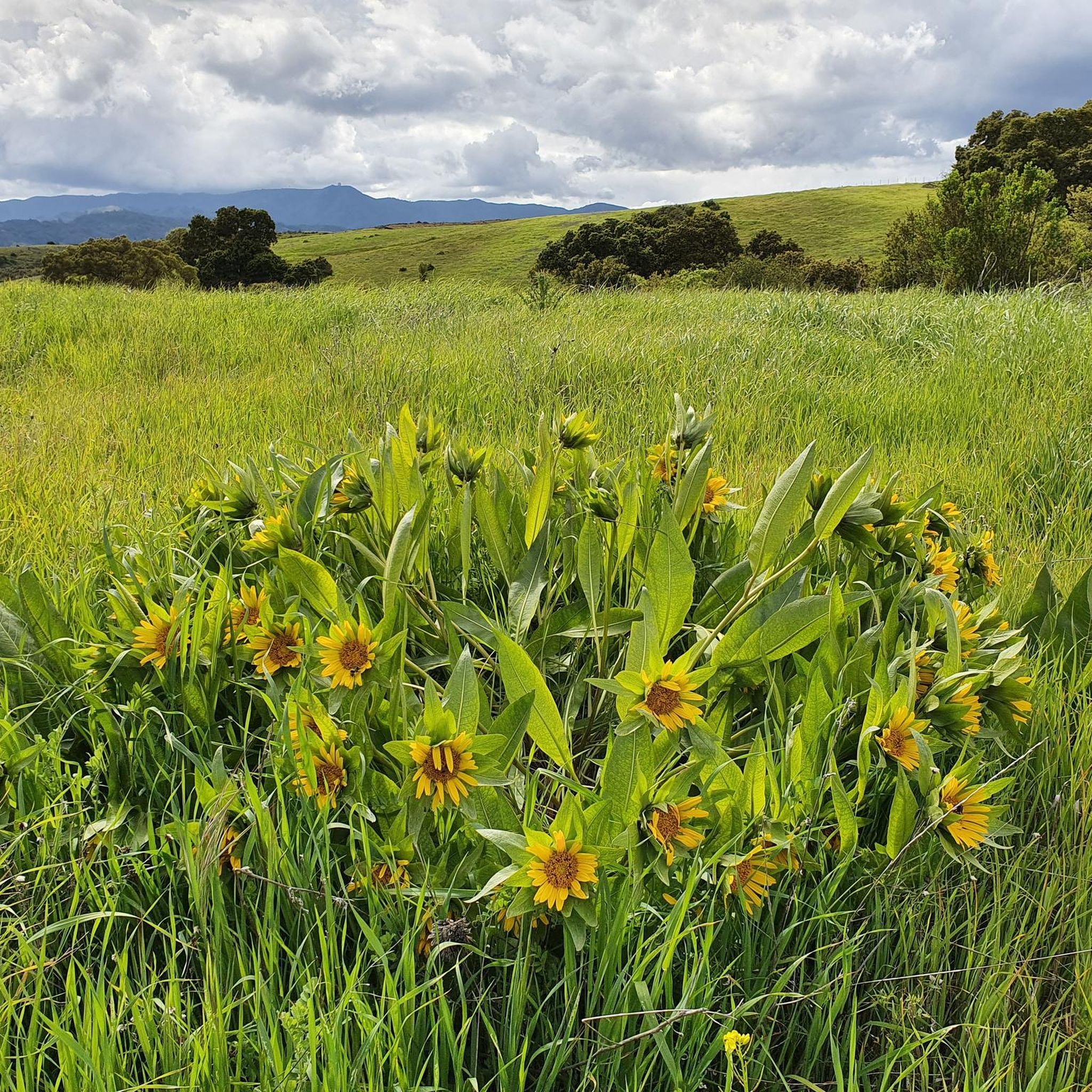
Running Trails in Máyyan 'Ooyákma – Coyote Ridge Open Space Preserve
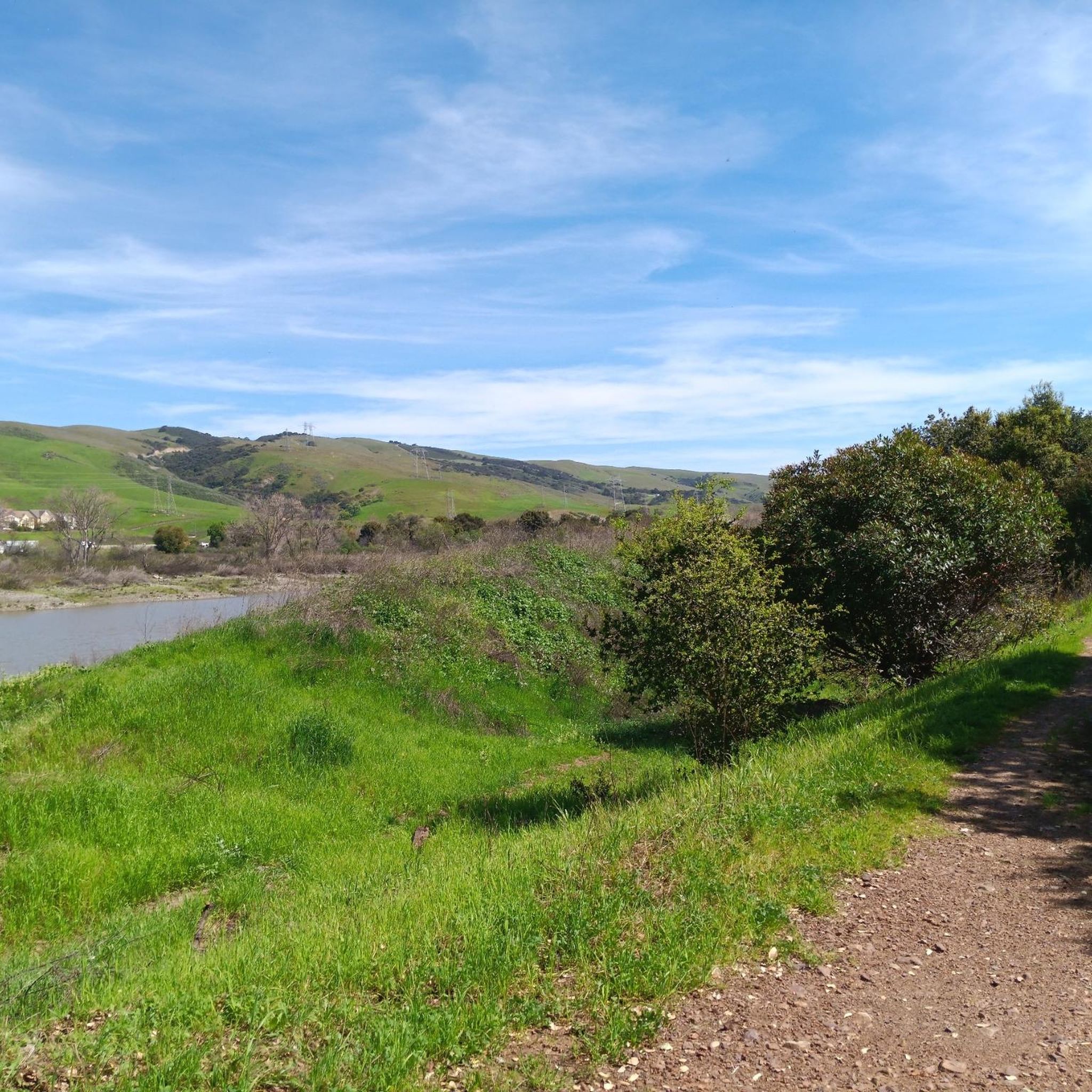
Cycling in Máyyan 'Ooyákma – Coyote Ridge Open Space Preserve
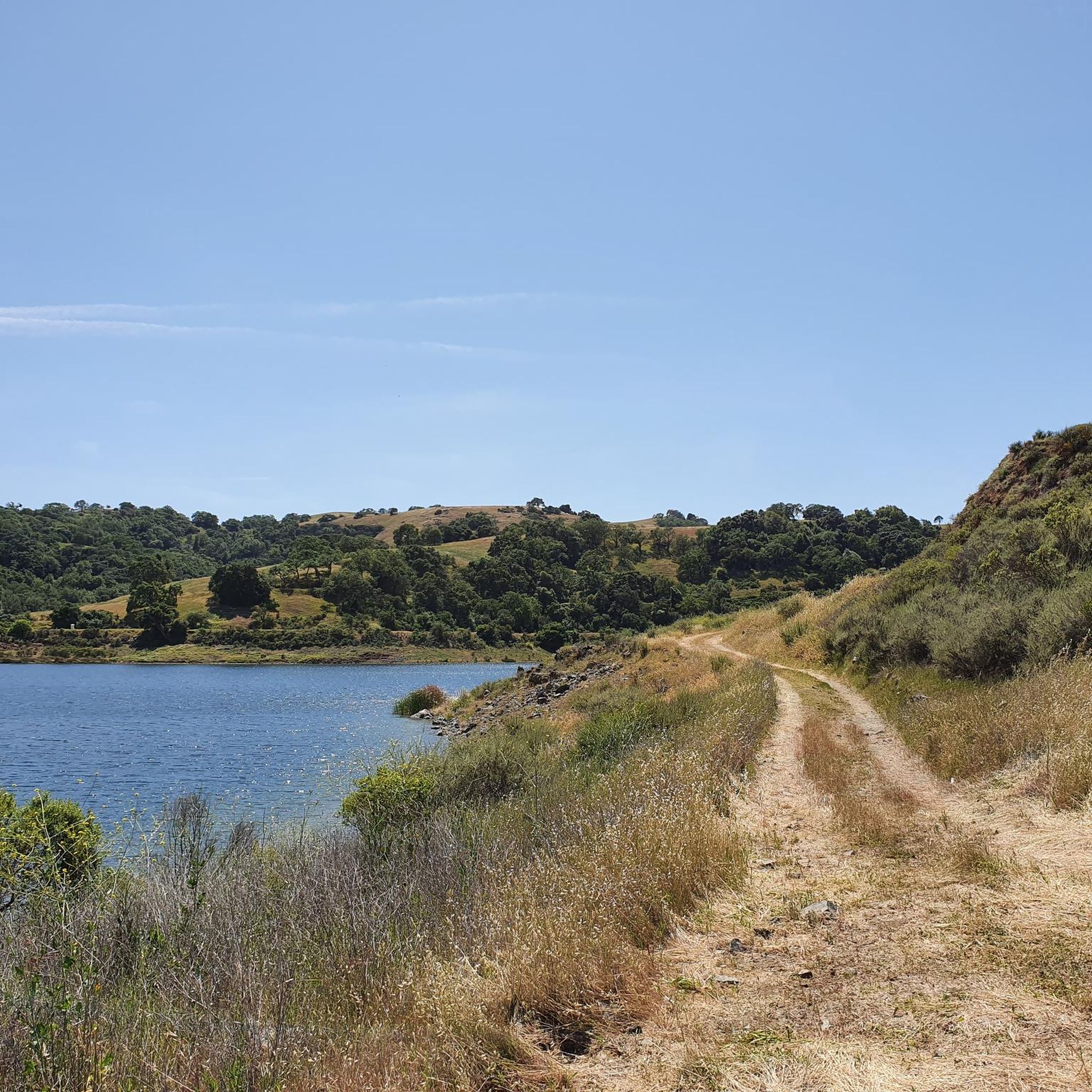
MTB Trails in Máyyan 'Ooyákma – Coyote Ridge Open Space Preserve
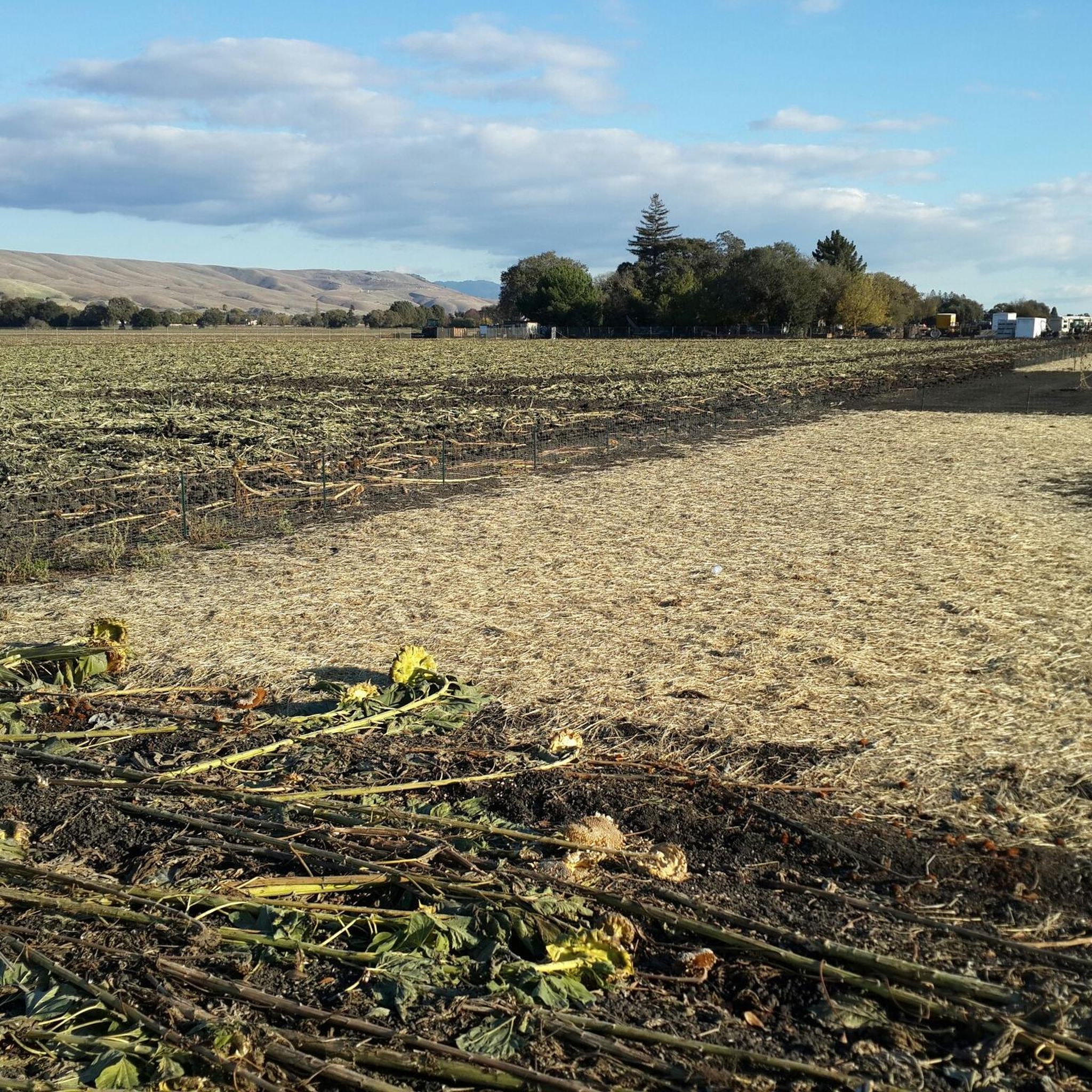
Road Cycling Routes in Máyyan 'Ooyákma – Coyote Ridge Open Space Preserve
Gravel biking in Máyyan 'Ooyákma – Coyote Ridge Open Space Preserve
Other adventures in Máyyan 'Ooyákma – Coyote Ridge Open Space Preserve

Tips from the Community

Nestled in the Diablo Range just south of San José, Máyyan ‘Ooyákma – Coyote Ridge is a newly opened 1,859‑acre preserve and home to five miles of public trails, including nearly four miles of the Bay Area Ridge Trail. Rolling hills of rare serpentine grassland offer sweeping views over Coyote Valley and serve as critical habitat for endangered species like the Bay checkerspot butterfly, California red-legged frog, and unique native plants. Visitors can hike, bike, or ride through themed paths (Butterfly Pass required in habitat areas) and enjoy interpretive panels that highlight both natural science and the cultural heritage of the Muwekma Ohlone.
0
0

The Coyote Creek Trail passes through the heart of Coyote Ranch, which is lined with open pastures and hillsides. There are also a couple small reservoirs on the property that you get to walk by during your hike.
0
0

The pond is nestled within the larger Coyote Creek Parkway, providing access to miles of trails for running, biking, or hiking. You can explore further along Coyote Creek and discover more scenic spots.
0
0

Coyote Pond is a much-loved destination for walkers seeking a refreshing waterside stroll. In the cooler months the pond is filled with water, however it does have the tendency to dry up during the summer months. Whatever the weather, it's still a beautiful location worthy of an explore.
1
0

Coyote Pond in Coyote Creek Parkway is a well-loved destination for runners seeking a revitalizing experience. The expansive parkway provides a perfect backdrop for a fulfilling run around the pond. Keep in mind, during the summer parts of the pond may be dried up.
0
0

Who doesn’t enjoy Coyote Creek riding Southbound? It’s flat and there is good chance that you’ll get the wind in your back
0
0

Small dogpark/playground at the end of the San Jose Metroplex
0
0

Horse pastures and hills open up the landscape along the excellent Coyote Creek trail south of San Jose towards Morgan Hill.
0
0
Frequently Asked Questions
How many hiking trails are available in Máyyan 'Ooyákma – Coyote Ridge Open Space Preserve?
There are over 25 hiking trails in Máyyan 'Ooyákma – Coyote Ridge Open Space Preserve, offering a variety of experiences from easy strolls to more challenging climbs. The preserve features over 5 miles of trails, including a significant section of the Bay Area Ridge Trail.
What is the best time of year to visit Máyyan 'Ooyákma – Coyote Ridge Open Space Preserve?
The spring months (March to May) are particularly rewarding due to the vibrant display of wildflowers across the serpentine grasslands, including California poppies and lupines. This is also a good time for wildlife spotting. However, some areas may require docent-led tours during this period.
Are dogs allowed on the trails in Máyyan 'Ooyákma – Coyote Ridge Open Space Preserve?
No, to protect the sensitive habitat and its unique wildlife, dogs are not permitted anywhere in Máyyan 'Ooyákma – Coyote Ridge Open Space Preserve.
Are there any family-friendly hiking options in the preserve?
Yes, there are several easy trails suitable for families. The Arrowhead Loop Trail — Coyote Valley Open Space Preserve is an easy 3.9-mile path that winds through open grasslands, offering accessible views. The Máyyan Wáayi (Coyote Valley) Overlook Trail also provides an accessible option for a shorter hike to a scenic viewpoint.
What kind of wildlife can I expect to see in Máyyan 'Ooyákma – Coyote Ridge Open Space Preserve?
The preserve is a critical biodiversity hotspot. You might spot rare and endangered species such as the federally threatened Bay checkerspot butterfly, California red-legged frogs, and tule elk. Western burrowing owls and golden eagles are also frequently seen.
Do I need a permit to access certain areas of the preserve?
Yes, due to the sensitive nature of its habitat, much of the preserve, including trails like Serpentine Spring, Tule Elk, and Bay Checkerspot, requires a free 'Butterfly Pass' for access. Access to certain areas may also be restricted on specific days for research.
What are the typical terrain and elevation changes like on the trails?
The trails traverse rolling hills and oak woodlands, with paths leading up to a ridgeline that boasts nearly 1,400 feet of elevation gain. The unique serpentine grassland ecosystem also contributes to varied terrain. For example, the Hiking loop from Coyote has an elevation gain of over 280 meters.
Are there any loop trails available for hiking?
Yes, loop trails are a popular option. The Hiking loop from Coyote is a moderate 5.4-mile route, and the Arrowhead Loop Trail — Coyote Valley Open Space Preserve offers an easier 3.9-mile option.
What views can I expect from the trails?
From the elevated points along the ridgeline, hikers are treated to sweeping panoramic views of the Coyote Valley, the expansive Santa Clara Valley (stretching from Morgan Hill to San Jose), and the distant Santa Cruz Mountains.
What do other hikers say about their experience in Máyyan 'Ooyákma – Coyote Ridge Open Space Preserve?
The area is highly rated by the komoot community, with an average score of 4.7 stars from over 40 reviews. Hikers often praise the unique serpentine grasslands, the diverse wildlife, and the expansive panoramic views from the ridgeline.
Is there parking available at Máyyan 'Ooyákma – Coyote Ridge Open Space Preserve?
Yes, parking facilities are available for visitors. It's advisable to check the official Santa Clara Valley Open Space Authority website for specific parking locations and any potential fees or restrictions before your visit.
Are there any educational opportunities or interpretive signs along the trails?
Yes, interpretive signage and displays are integrated throughout the preserve. These provide valuable information about the unique landscape, its rich history, and the endemic plant and animal species that call it home, enhancing the hiking experience.
Most popular routes in Máyyan 'Ooyákma – Coyote Ridge Open Space Preserve

Get inspired with the komoot mobile app


Explore more
Browse the best Hikes in other regions.
