Monte Bello Open Space Preserve (Closed Area)
Monte Bello Open Space Preserve (Closed Area)
The best running trails in Monte Bello Open Space Preserve (Closed Area)
4.7
(31)
1,792
runners
110
runs
Jogging in Monte Bello Open Space Preserve (Closed Area) offers diverse terrain within the Santa Cruz Mountains. The preserve spans over 3,100 acres, featuring rolling grasslands, dense Douglas fir, live oak, and California bay forests, alongside riparian corridors. Trails vary from shaded paths in canyons to exposed routes with significant elevation gains, providing options for different fitness levels. Black Mountain, the highest point, offers views of the Santa Clara Valley.
Best jogging routes in Monte Bello Open Space Preserve (Closed…
Last updated: May 10, 2026
1
runners
12.0km
01:20
290m
290m
Jog the moderate 7.5-mile Canyon Trail in Monte Bello Open Space Preserve, featuring forests, grasslands, and Stevens Creek.
11.6km
01:27
520m
520m
Challenge yourself on the difficult 7.2-mile Grizzly Flat Trail to Table Mountain Loop, featuring diverse terrain and significant elevation

Sign up for free
7
runners
6.19km
00:50
190m
190m
Jog the 3.8-mile Zinfandel Trail in Picchetti Ranch Open Space Preserve, a moderate route through oak forests with South Bay views.
5.92km
00:43
150m
150m
Jog this moderate 3.7-mile loop in Monte Bello Open Space Preserve, featuring oak woodlands, canyon views, and 495 feet of elevation gain.
2.03km
00:16
60m
60m
Jog the easy 1.3-mile Zinfandel and Orchard Loop Trail in Picchetti Ranch Open Space Preserve, with views of Stevens Creek Reservoir.
Get access to more routes and recommendations from other explorers.
Sign up for free
Already have an account?
Our route recommendations are based on thousands of hikes, rides, and runs completed by other people on komoot.
Start today with a free account
Your next adventure awaits.
Login or Signup
Popular around Monte Bello Open Space Preserve (Closed Area)
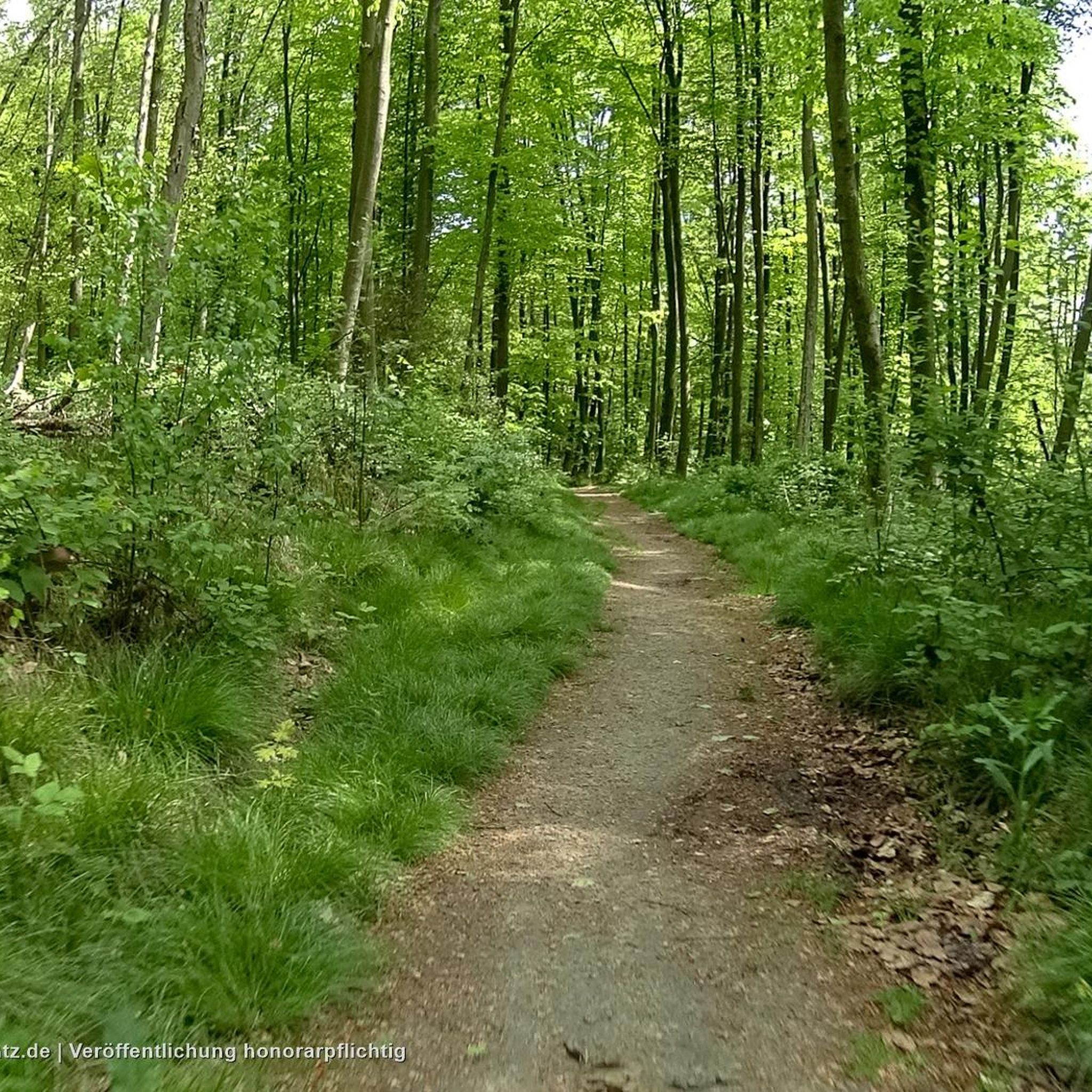
Hiking in Monte Bello Open Space Preserve (Closed Area)
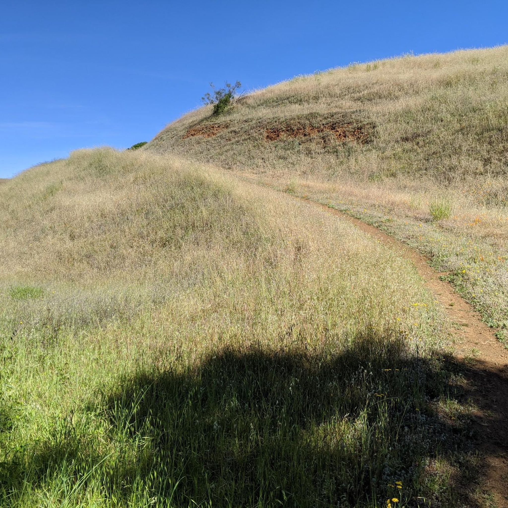
Road Cycling Routes in Monte Bello Open Space Preserve (Closed Area)
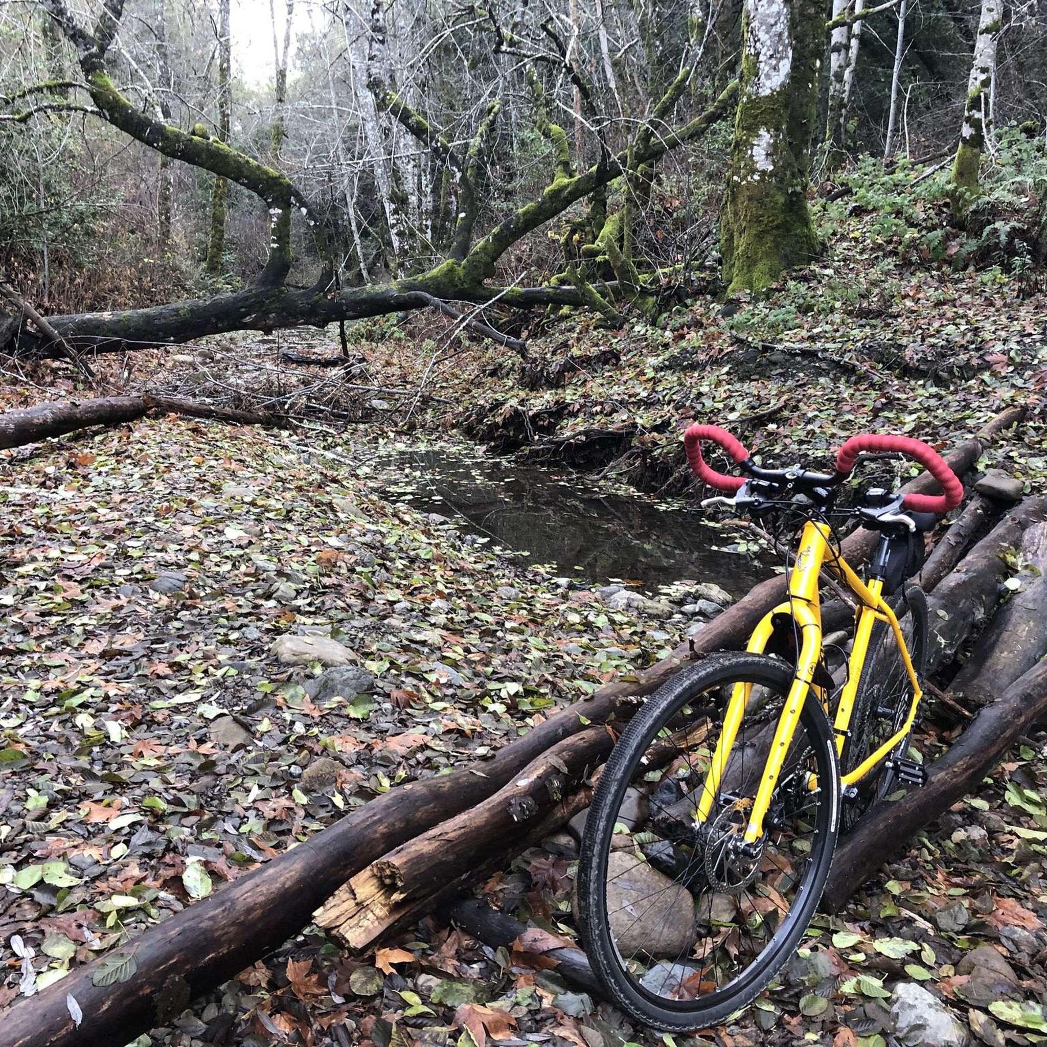
Cycling in Monte Bello Open Space Preserve (Closed Area)
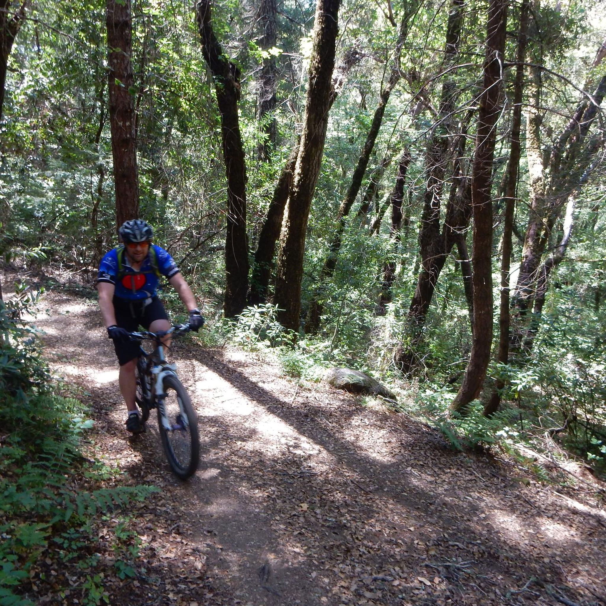
MTB Trails in Monte Bello Open Space Preserve (Closed Area)

Gravel biking in Monte Bello Open Space Preserve (Closed Area)
Tips from the Community

Zinfandel Trail is a nice trail with plenty of tree coverage. There are a few steep inclines, but for the most part the trail is easy going. Unfortunately, dogs are not allowed, so take that into consideration. There is tons of wildlife to spectate including deer, all sorts of birds and plants, and mountain lions.
0
0

This beautiful trail passes through madrone and oak woods before emerging into grasslands peppered with very large old oak trees. The wooded areas on the route are a welcome relief on a hot day. The trail runs along Steven Creek and its tributaries, offering a lush forest floor ladened with wild rose, ferns and gooseberry under the California bay and big-leaf maple trees.
0
0
Orchard Loop Trail is a peaceful and easy trail that is open to running, walking, and hiking. The trail surface is quite tame, similar to a dirt or gravel road, which makes for a great option if you want to run off-road, but don't want to quite take up trail running. You can run through rows of old growth trees with constant views of the surrounding hillsides.
0
0
Table Mountain Trail winds through a valley with plenty of tree coverage, as well as a nice mix of exposed sections so you can see the rolling hills. There isn't any awe-inspiring overlook, so this isn't the best location if you want views, but great for if you just want a fast loop to train on.
0
0
White Oak Trail is a nice flowy single track trail that meanders through a mixture of open grassland and shaded oak forests. You can enjoy both lowland views for plants/wildlife, and scenic overlooks.
0
0
Frequently Asked Questions
How many running routes are available in Monte Bello Open Space Preserve?
Monte Bello Open Space Preserve offers a wide selection of running routes, with over 110 different options to explore. These range from easy, shorter paths to challenging, longer trails with significant elevation gain.
Are there any easy jogging routes for beginners or those seeking a relaxed run?
Yes, the preserve has several easier options. For a more relaxed experience, consider the Zinfandel and Orchard Loop Trail, which is an easy 2 km (1.2 miles) path. Overall, there are 11 easy routes suitable for a gentle jog.
What are the most challenging running trails in Monte Bello Open Space Preserve?
For runners seeking a challenge, Monte Bello Open Space Preserve features 28 difficult routes. A notable option is the Grizzly Flat Trail to Table Mountain Loop, a demanding 11.6 km (7.2 miles) path with significant elevation gain and panoramic views.
What kind of scenery can I expect while running in the preserve?
The preserve boasts incredibly diverse scenery. You'll jog through rolling grasslands, dense forests of Douglas fir, live oak, and California bay, and along excellent riparian corridors. The varied terrain ensures a dynamic and visually engaging experience, with changing landscapes and ground underfoot.
Are there any trails that offer great views?
Absolutely! Black Mountain, the highest point on Monte Bello Ridge, offers breathtaking panoramic views of the Santa Clara Valley and the Mt. Hamilton Range. Several trails lead to the summit, providing rewarding routes for those seeking an uphill run. On clear days, you can even witness stunning sunsets.
Can I bring my dog on the running trails?
No, dogs are unfortunately not permitted in Monte Bello Open Space Preserve (Closed Area). The preserve aims to maintain a serene environment for human-powered exploration and protect its diverse wildlife.
Are there any circular running routes available?
Yes, many of the trails in Monte Bello Open Space Preserve are designed as loops or can be combined to form circular routes. For example, the White Oak and Stevens Creek Nature Trail Loop is a moderate 5.9 km (3.7 miles) option that descends into a forested canyon and follows the creek before ascending through grasslands.
What are the operating hours for the preserve?
Monte Bello Open Space Preserve is open from dawn until a half-hour after sunset, allowing ample time for morning or evening runs. Entry is free, and restrooms are available, though there is no drinking water on site.
What do other runners say about jogging in Monte Bello Open Space Preserve?
The running routes in Monte Bello Open Space Preserve are highly rated by the komoot community, with an average score of 4.8 stars from over 30 reviews. Runners often praise the diverse ecosystems, the extensive trail network, and the varied terrain that caters to different ability levels.
Are there any specific trails that go through forests or offer shade?
Yes, many trails provide excellent shade. The Canyon Trail, for instance, descends through cool forests into Stevens Creek Canyon, making it a favorite for its shaded sections. The preserve features dense Douglas fir, live oak, and California bay forests, offering respite from the sun.
Is there parking available at the trailheads?
Yes, parking is available at various trailheads within Monte Bello Open Space Preserve. It's advisable to check specific trailhead information for the route you plan to run to confirm parking availability and any potential restrictions.
Are there any unique geological features to see while running?
Yes, the preserve offers interesting geological insights. The San Andreas Fault Trail, for example, is an easy 1.4-mile hike that features interpretive stations, providing a unique geological perspective on the famous fault line.
Most popular routes in Monte Bello Open Space Preserve (Closed Area)

Get inspired with the komoot mobile app


Explore more
Browse the best Running Trails & Routes in other regions.
