Skyline Ridge Open Space Preserve (Closed Area)
Skyline Ridge Open Space Preserve (Closed Area)
The best road cycling routes in Skyline Ridge Open Space Preserve (Closed Area)
4.7
(11)
569
riders
14
rides
Road cycling in Skyline Ridge Open Space Preserve (Closed Area) offers routes through the Santa Cruz Mountains. The region features varied terrain including ridge vistas, oak woodlands, and redwood areas. Higher elevations provide panoramic views of the Pacific Ocean and San Francisco Bay. The preserve's network connects to neighboring open spaces, offering diverse route planning.
Best road cycling routes in Skyline Ridge Open Space Preserve (Closed Area)
- The most popular road cycling route is Woodside Store (Historic Site) – Tree…
Last updated: October 5, 2026
5.0
(1)
134
riders
51.8km
02:35
800m
800m
Moderate road ride. Good fitness required. Mostly well-paved surfaces and easy to ride.
14
riders
Moderate road ride. Good fitness required. Some segments of this route may be unpaved and difficult to ride.

5.0
(3)
67
riders
56.2km
02:34
650m
650m
Moderate road ride. Good fitness required. Mostly well-paved surfaces and easy to ride.
5.0
(1)
41
riders
70.1km
03:18
840m
840m
Moderate road ride. Good fitness required. Mostly well-paved surfaces and easy to ride.
5.0
(1)
18
riders
36.5km
01:59
760m
760m
Moderate road ride. Good fitness required. Mostly well-paved surfaces and easy to ride.
Get access to more routes and recommendations from other explorers.
Already have an account?
Our route recommendations are based on thousands of hikes, rides, and runs completed by other people on komoot.
Start today with a free account
Your next adventure awaits.
Popular around Skyline Ridge Open Space Preserve (Closed Area)
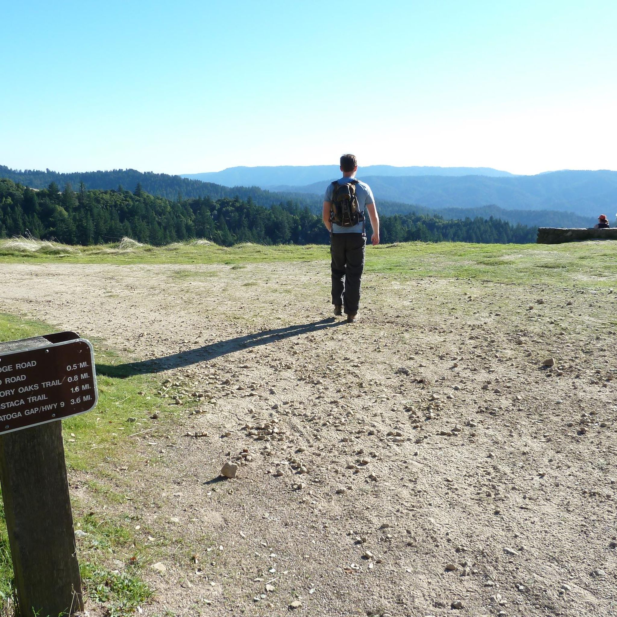
Hiking in Skyline Ridge Open Space Preserve (Closed Area)
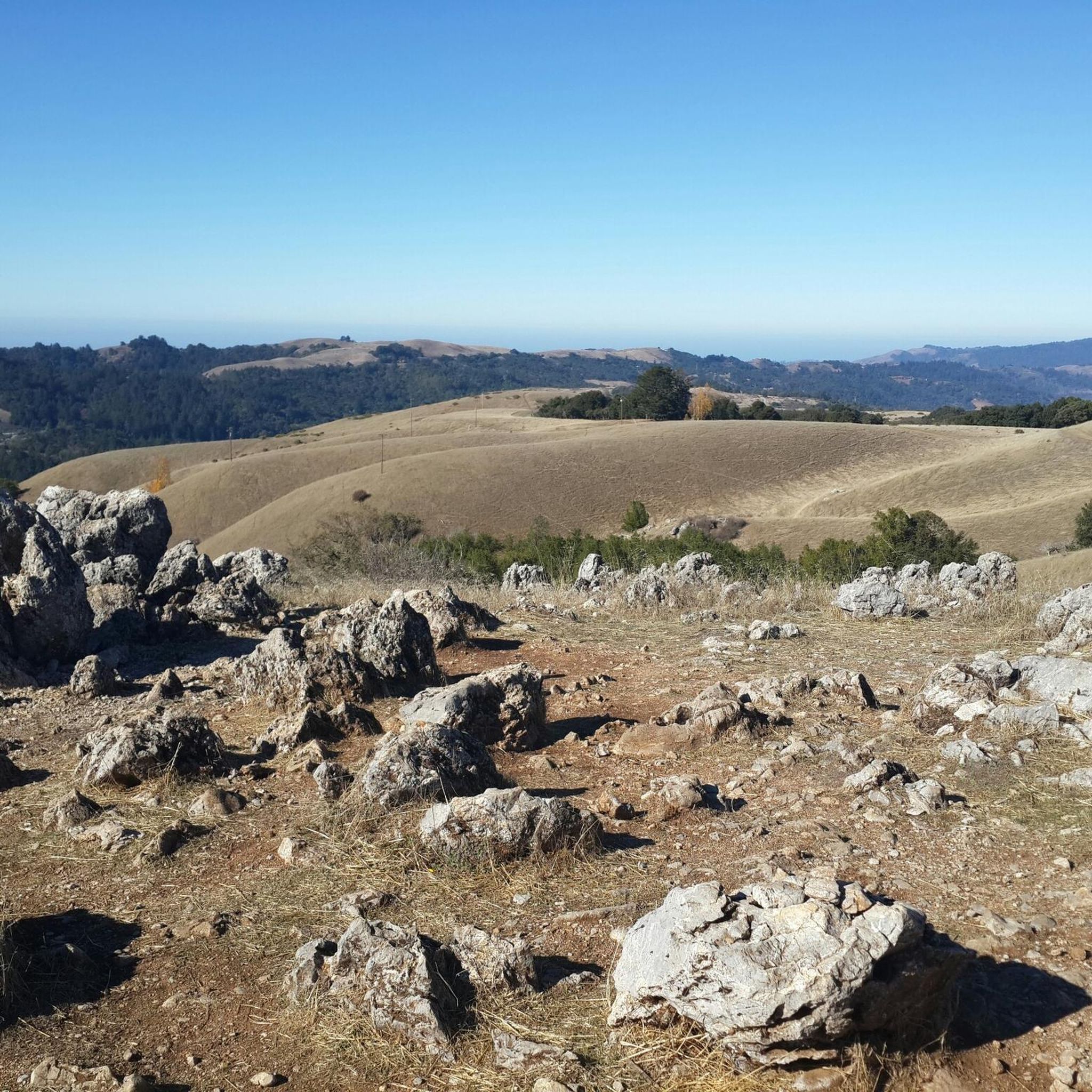
Running Trails in Skyline Ridge Open Space Preserve (Closed Area)
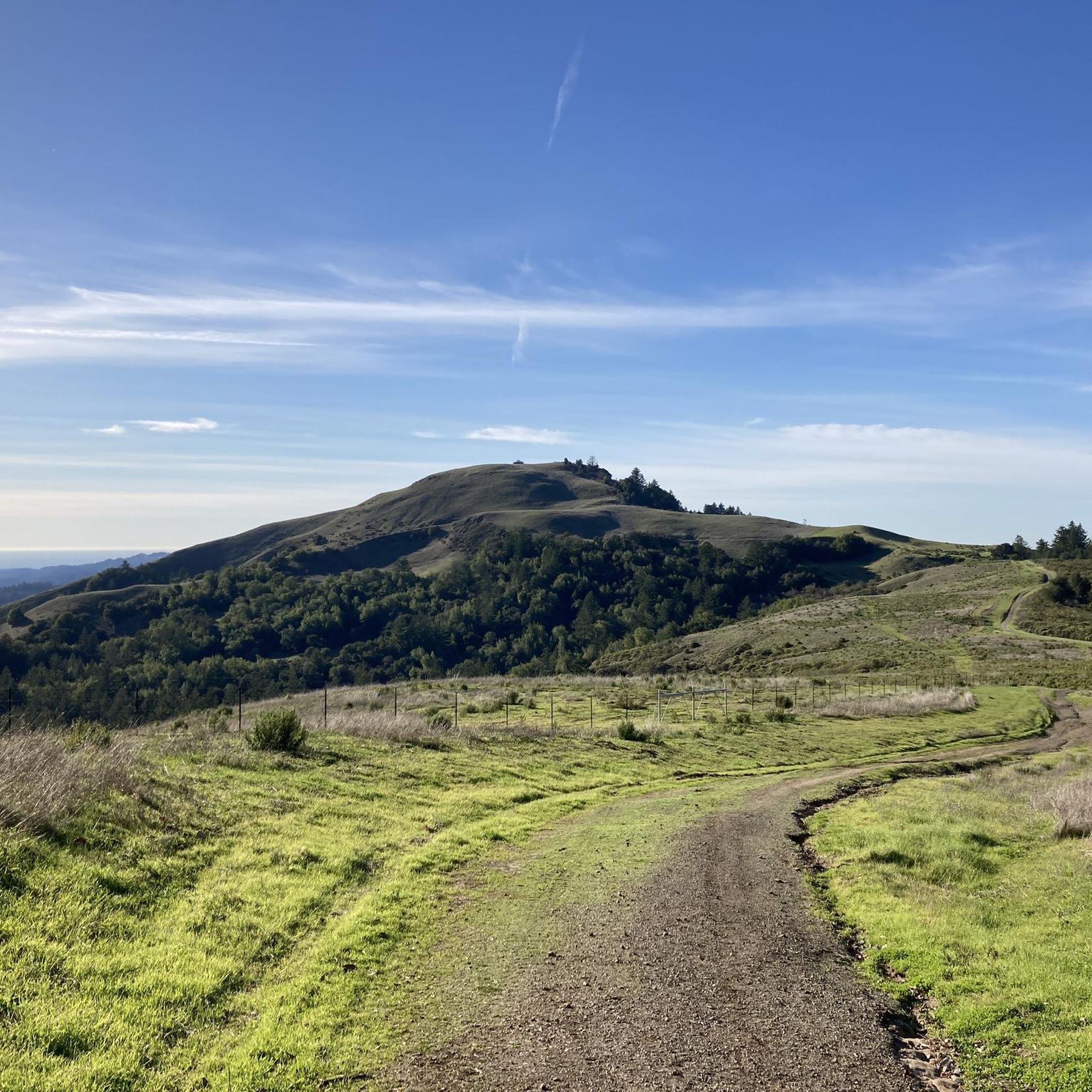
Cycling in Skyline Ridge Open Space Preserve (Closed Area)
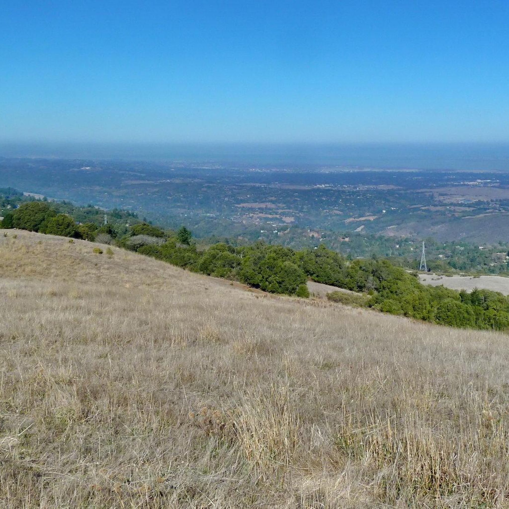
MTB Trails in Skyline Ridge Open Space Preserve (Closed Area)
Gravel biking in Skyline Ridge Open Space Preserve (Closed Area)
Tips from the Community

Alise’s Restaurant is a popular spot for both cyclists and motorcyclists. The food is good, the staff is known for being friendly, and the place has a laid-back, welcoming vibe—perfect for a post-ride meal or coffee break.
1
0

The Northern part of Alpine Road is a paved and curvy descent through wooded areas and runs parallel to Coal Mine Ridge Preserve, eventually connecting with the trailhead there.
0
0

This mostly paved bike trail alongside Alpine Road is great for bike commuting — just don't run over any slower trail users! The trail runs all the way from Portola Valley to Stanford, offering some nice shade along the way. The brief moments of unpaved trail are near the Portola Valley end.
0
0

Moody Road is a short route for cyclists connected to nearby trails or longer climbs like Page Mill Road. It offers a mix of rolling hills and quiet, scenic vibes. The last km is though, but in the end it is always worth it.
1
0
Winding through a quiet residential area with minimal traffic, Altamont Road is perfect for a laid-back ride or linking up with tougher routes nearby. The gentle climbs make it super relaxing, and the hill views are awesome—especially around sunrise or sunset. It’s bike-friendly, but watch out for the occasional car on the narrower sections.
0
0

This fantastic tavern, founded in 1852, is the second oldest in the state. It features a large, beer garden-style outdoor area with plenty of shade. An extensive beer and food menu makes it a perfect stop to enjoy a brew and some great food after a ride.
0
0

From Elena Road, you’ll be treated to breathtaking views of the bay and surrounding hills. The vantage point offers a peaceful scene of the landscape, showcasing the natural beauty of the Bay Area.
0
0
Frequently Asked Questions
How many road cycling routes are available in Skyline Ridge Open Space Preserve (Closed Area)?
There are over 10 road cycling routes in Skyline Ridge Open Space Preserve (Closed Area), offering a variety of experiences for different skill levels. The komoot community has rated these routes highly, with an average score of 4.25 stars.
What kind of terrain can I expect on road cycling routes in this area?
The road cycling routes in Skyline Ridge Open Space Preserve (Closed Area) feature varied terrain, including climbs and descents along scenic roads like Skyline Boulevard. You'll encounter diverse landscapes such as grasslands, oak woodlands, and redwood areas, providing a dynamic riding experience.
Are there any challenging road cycling routes for experienced riders?
Yes, the area offers challenging routes with significant elevation changes. For instance, the Old La Honda Road – Manzanita Way loop from Portola Valley is a moderate route covering over 32 km with substantial elevation gain, perfect for experienced cyclists seeking a workout.
What are some scenic viewpoints or natural features I can see while road cycling?
Road cyclists can enjoy panoramic vistas of the Pacific Ocean to the west and the San Francisco Bay to the east from higher elevations like Borel Hill. The preserve also features tranquil Horseshoe Lake and Alpine Pond, which are great for nature observation. The David C. Daniels Nature Center at Alpine Pond offers educational displays.
Is road cycling in Skyline Ridge Open Space Preserve (Closed Area) suitable for families?
While many routes involve climbs and descents, there are easier options available. The Portola Valley – Rossotti's Alpine Inn loop from Enid Pearson-Arastradero Preserve is an easy 19.2 km route that offers a less strenuous option for a quicker ride, which might be more suitable for families or those looking for a relaxed pace.
What is the best time of year to go road cycling in this region?
The Santa Cruz Mountains, including Skyline Ridge, offer pleasant cycling conditions for much of the year. Spring brings wildflowers to the slopes, enhancing the scenic views. However, it's always advisable to check local weather conditions before heading out, especially for fog or rain.
Are there any specific roads or sections popular with road cyclists?
Skyline Boulevard (Highway 35) is a well-known scenic route among road cyclists, offering challenging climbs, descents, and breathtaking views. Many routes in the preserve utilize or connect to this iconic road.
What do other road cyclists enjoy most about road cycling in Skyline Ridge Open Space Preserve (Closed Area)?
The area is highly rated by the komoot community, with an average score of 4.25 stars from over 14 reviews. Reviewers often praise the diverse landscapes, from oak woodlands to redwood areas, and the rewarding panoramic views of the Pacific Ocean and San Francisco Bay.
Are there any long-distance road cycling routes available?
Yes, for those looking for longer rides, the La Honda Road – Stage Road loop from La Honda is a moderate route spanning over 58 km, offering an extended journey through the region's varied terrain.
Is it possible to combine road cycling with exploring other nearby open spaces?
Yes, the preserve's location along Skyline Boulevard and its connection to the Bay Area Ridge Trail allow for routes that link to other parks like Russian Ridge Open Space Preserve, Monte Bello Open Space Preserve, and Long Ridge Open Space Preserve, extending your cycling possibilities.
What is the typical elevation gain on road cycling routes here?
Elevation gains vary significantly depending on the route. For example, a moderate route like the Alpine Road – Dwight Crowder Path loop from La Honda involves approximately 475 meters of elevation gain, while easier routes will have less.
Are there any circular road cycling routes?
Many of the road cycling routes in Skyline Ridge Open Space Preserve (Closed Area) are designed as loops, allowing you to start and finish at the same point. Examples include the popular Rossotti's Alpine Inn – Junipero Serra Boulevard loop from Los Trancos Woods.
Most popular routes in Skyline Ridge Open Space Preserve (Closed Area)

Get inspired with the komoot mobile app


Explore more
Browse the best Road cycling routes in other regions.
