Windy Hill Open Space Preserve (Closed Areas)
Windy Hill Open Space Preserve (Closed Areas)
The best MTB trails in Windy Hill Open Space Preserve (Closed Areas)
4.8
(75)
935
riders
43
rides
Mountain biking in Windy Hill Open Space Preserve (Closed Areas) offers a diverse landscape for riders. The preserve features rolling hills, dense woodlands, and open grasslands, providing varied terrain for mountain bike trails. Riders can expect a mix of challenging climbs and flowing descents through natural environments. The area is characterized by its elevation changes and scenic views of the surrounding Bay Area.
Best mountain bike trails in Windy Hill Open Space Preserve (Closed Areas)
- The most popular mountain bike trail is Stevens Creek Nature Trail loop from Enid Pearson-Arastradero Preserve, a 17.3 miles (27.8 km) trail that takes 3 hours 17 minutes to complete. This difficult route features significant elevation gain and varied natural surfaces.
- Another top favourite among local mountain bikers is Woodside Store (Historic Site) – Skeggs Point loop from Portola Valley, a difficult 24.8 miles (40.0 km) path. This route offers extensive climbs and panoramic views from Skeggs Point.
- Local mountain bikers also love the Bowl Loop Jumps – Arastradero Lake loop from Portola Valley, a 19.6 miles (31.6 km) trail leading through woodlands and past Arastradero Lake, often completed in about 2 hours 8 minutes.
- Mountain biking in Windy Hill Open Space Preserve (Closed Areas) is defined by rolling hills, dense woodlands, and open grasslands. The network offers options for different ability levels, from moderate to difficult routes.
- The routes in Windy Hill Open Space Preserve (Closed Areas) are highly rated by the komoot community with an average score of 4.7 stars from over 100 reviews. More than 1,200 mountain bikers have used komoot to explore Windy Hill Open Space Preserve (Closed Areas)'s varied terrain.
Last updated: August 4, 2026
16
riders
25.3km
02:44
640m
640m
Hard mountain bike ride. Good fitness required. Advanced riding skills necessary. Some portions of the route may require you to push your bike.
5.0
(1)
5
riders
40.2km
03:19
960m
960m
Hard mountain bike ride. Very good fitness required. Advanced riding skills necessary.

Sign up for free
4
riders
Easy mountain bike ride. Great for any fitness level. Suitable for all skill levels.
5.0
(4)
38
riders
38.9km
04:33
1,080m
1,080m
Hard mountain bike ride. Very good fitness required. Advanced riding skills necessary. Some portions of the route may require you to push your bike.
5.0
(2)
34
riders
24.9km
03:04
600m
600m
Hard mountain bike ride. Good fitness required. Advanced riding skills necessary. Some portions of the route may require you to push your bike.
Get access to more routes and recommendations from other explorers.
Sign up for free
Already have an account?
Our route recommendations are based on thousands of hikes, rides, and runs completed by other people on komoot.
Start today with a free account
Your next adventure awaits.
Login or Signup
Popular around Windy Hill Open Space Preserve (Closed Areas)
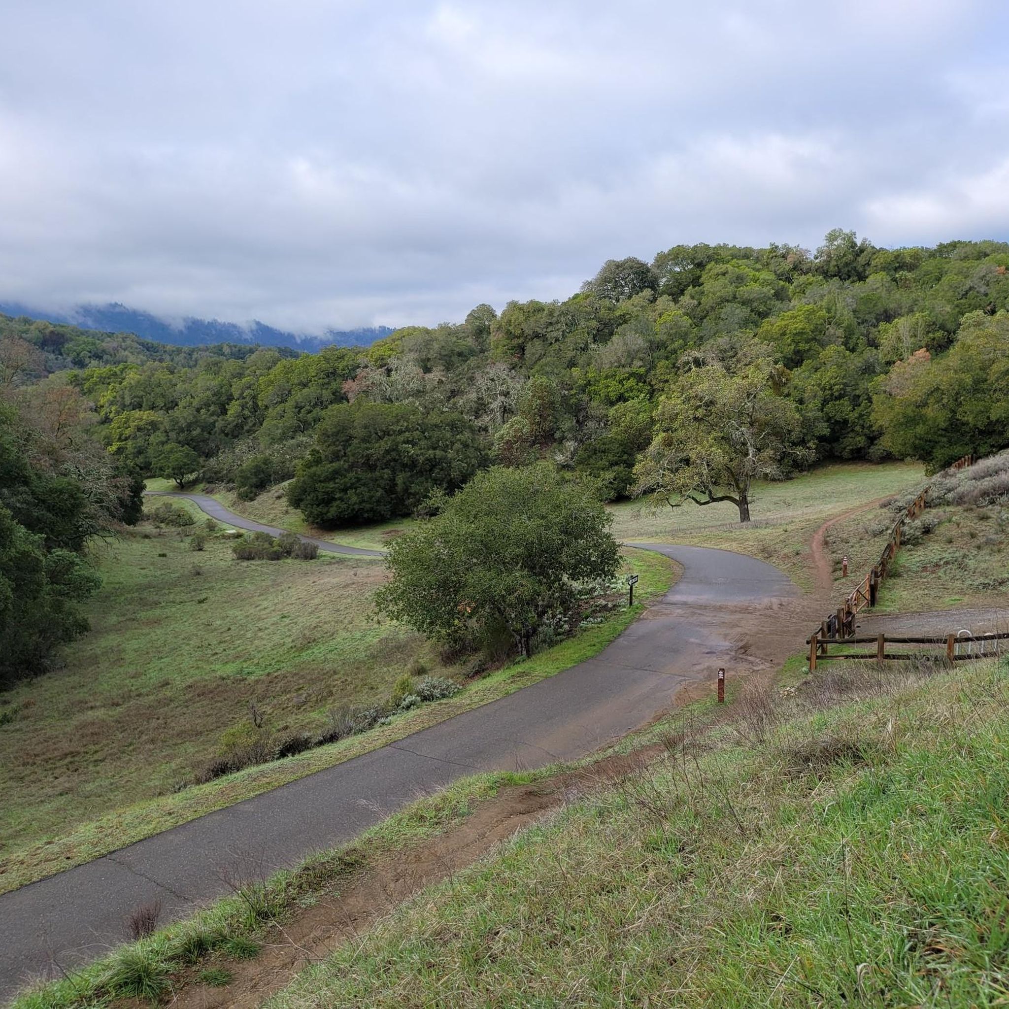
Hiking in Windy Hill Open Space Preserve (Closed Areas)

Running Trails in Windy Hill Open Space Preserve (Closed Areas)
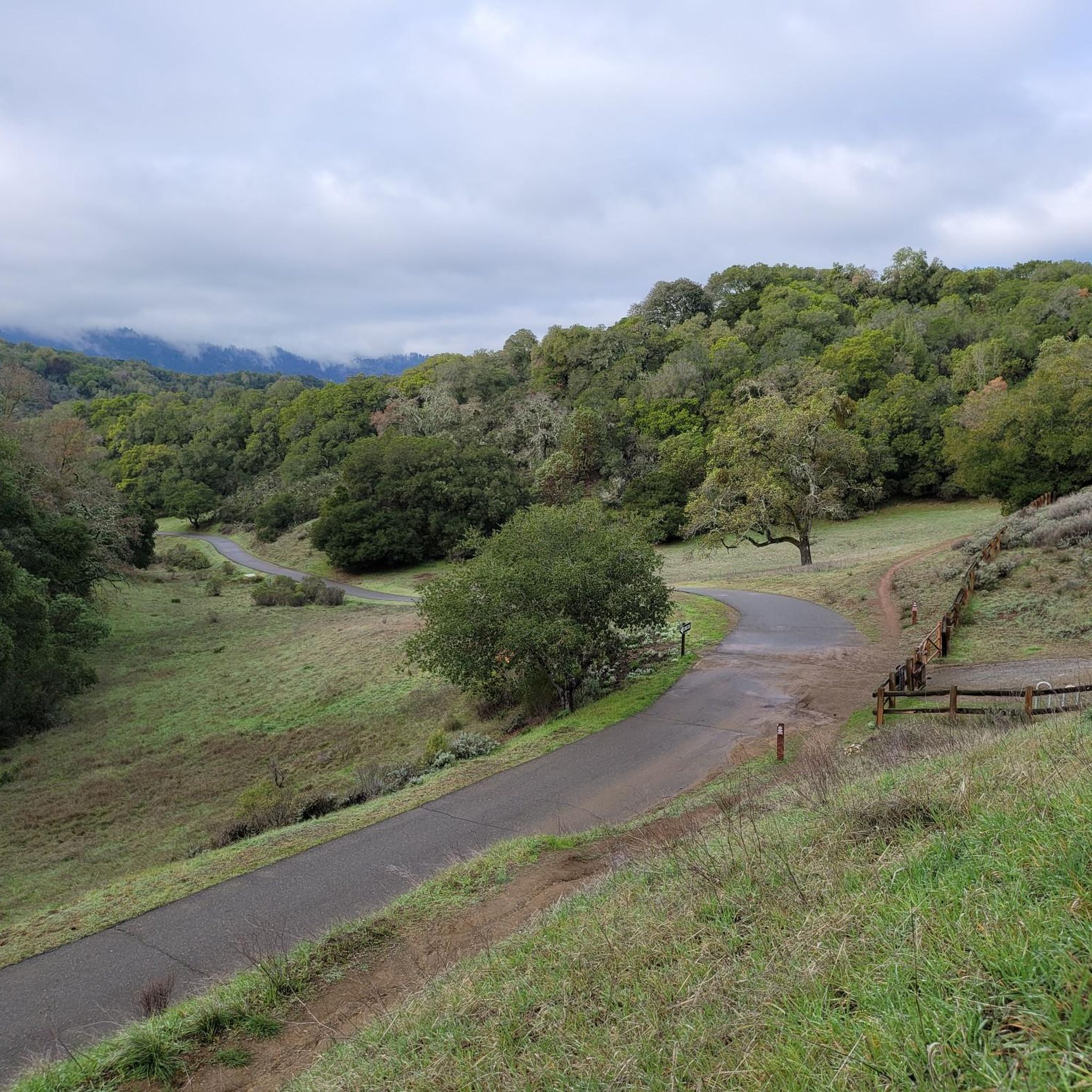
Road Cycling Routes in Windy Hill Open Space Preserve (Closed Areas)
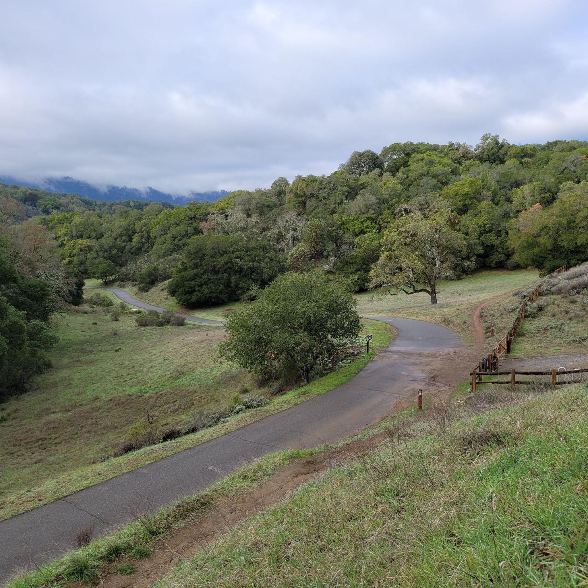
Cycling in Windy Hill Open Space Preserve (Closed Areas)
Gravel biking in Windy Hill Open Space Preserve (Closed Areas)
Tips from the Community


From up here on the ridge you get great sweeping views across the foothills. On a clear day you can see out west to the Pacific Ocean.
0
0

Alise’s Restaurant is a popular spot for both cyclists and motorcyclists. The food is good, the staff is known for being friendly, and the place has a laid-back, welcoming vibe—perfect for a post-ride meal or coffee break.
1
0
Enid Pearson-Arastradero Preserve offers rolling grasslands mixed with oak and evergreen trees. The trail system starts on pavement and transitions to packed dirt and gravel—great for bikes with wider tires or a solid gravel setup. Keep an eye out for deer, coyotes, and even bobcats, and take a moment to pause at one of the benches or by Arastradero Lake to enjoy the open views.
0
0

The Northern part of Alpine Road is a paved and curvy descent through wooded areas and runs parallel to Coal Mine Ridge Preserve, eventually connecting with the trailhead there.
0
0
Borel Hill is my favorite place to watch spring flowers. The western slope near ancient oaks (5-10min west of Borel Hill) are covered with orange California Poppies and purple flowers starting in April. Borel Hill itself peaks around mid May and has a wide variety of flowers. The show lasts only a few weeks until end of May. The peak time and flower intensity varies from year to year, so come several times between April and May. There is small summit NW of Borel Hill and a narrow dirt trail leads you to a rock within 2 min. The rock is big enough for 2-3 to sit on. On a sunny day, the rock is nice warm even if the air is cold. Good views on the ocean and the Bay.
1
0

Just right off the picnic bench area lies a viewpoint of the Pearson-Arastradero Preserve. An open meadow offers views of the preserve and surrounding mountains. It's a nice shaded area for a break!
0
0
Here, the Steve's Creek Nature Trail and the Canyon Trail intersect. A lovely patch of grass surrounds the junction, making it an ideal spot for a break.
0
0
Frequently Asked Questions
What are the difficulty levels of mountain bike trails in Windy Hill Open Space Preserve?
Windy Hill Open Space Preserve offers a range of mountain bike trails catering to different skill levels. You'll find 11 easy routes, 13 moderate routes, and 13 difficult routes, providing options for beginners to experienced riders.
What is the typical length of mountain bike trails in Windy Hill Open Space Preserve?
Trail lengths vary significantly. For example, an easy route like the Redtail Loop Trail – Arastradero Lake loop from Enid Pearson-Arastradero Preserve is about 5.7 miles (9.2 km). More challenging routes, such as the Woodside Store (Historic Site) – Skeggs Point loop from Portola Valley, can extend to nearly 25 miles (40 km).
Are there mountain bike trails suitable for beginners in Windy Hill Open Space Preserve?
Yes, there are several trails suitable for beginners. The preserve features 11 easy routes. A good option to start with is the Redtail Loop Trail – Arastradero Lake loop from Enid Pearson-Arastradero Preserve, which is an easy 5.7 miles (9.2 km) trail.
Where can I find challenging mountain bike routes in Windy Hill Open Space Preserve?
For experienced riders seeking a challenge, Windy Hill Open Space Preserve offers 13 difficult routes. Consider the Old Ranch Trail – White Oak Trail loop from Portola Valley, a demanding 24.2 miles (38.9 km) route with over 1,000 meters of elevation gain.
Are dogs allowed on mountain bike trails in Windy Hill Open Space Preserve?
Policies regarding dogs in open space preserves can vary. It's always best to check the official Midpeninsula Regional Open Space District website or trailhead signage for the most current regulations on where dogs are permitted and if they need to be on a leash.
What is the best time of year for mountain biking in Windy Hill Open Space Preserve?
The Bay Area generally offers good mountain biking conditions year-round. However, spring and fall often provide the most pleasant temperatures. Summers can be warm, and winters might bring rain, affecting trail conditions. Always check local weather and trail status before heading out.
Are there any loop mountain bike trails in Windy Hill Open Space Preserve?
Yes, many of the mountain bike routes in the preserve are loops. For example, the Stevens Creek Nature Trail loop from Enid Pearson-Arastradero Preserve is a popular 17.3 miles (27.8 km) loop, and the Bowl Loop Jumps – Arastradero Lake loop from Portola Valley is another great option.
What do other mountain bikers enjoy the most about mountain biking in Windy Hill Open Space Preserve?
The area is highly rated by the komoot community, with an average score of 4.7 stars from over 100 reviews. Riders often praise the diverse landscape, which includes rolling hills, dense woodlands, and open grasslands, as well as the varied terrain offering both challenging climbs and flowing descents.
How many mountain bike trails are there in Windy Hill Open Space Preserve?
There are over 35 mountain bike routes available in Windy Hill Open Space Preserve, offering a wide variety of experiences for riders of all levels.
Are there any viewpoints along the mountain biking routes in Windy Hill Open Space Preserve?
Yes, many routes offer scenic views of the surrounding Bay Area. The Woodside Store (Historic Site) – Skeggs Point loop from Portola Valley, for instance, is known for its panoramic views from Skeggs Point.
Is public transport available to access Windy Hill Open Space Preserve for mountain biking?
While public transport options might be limited directly to all trailheads, some regional transit services may connect to areas near the preserve. It's advisable to check local bus schedules or consider ride-sharing services to reach specific access points.
What kind of wildlife can I expect to see while mountain biking in Windy Hill Open Space Preserve?
Windy Hill Open Space Preserve is home to diverse wildlife. Riders might spot deer, various bird species, and smaller mammals. Keep an eye out, especially during quieter times of day, and always maintain a respectful distance.
Most popular routes in Windy Hill Open Space Preserve (Closed Areas)

Get inspired with the komoot mobile app


Explore more
Browse the best MTB trails in other regions.
