The best road cycling routes in Windy Hill Open Space Preserve
4.7
(110)
5,989
riders
39
rides
If you've ever tried to plan road cycling in Windy Hill Open Space Preserve, you know how overwhelming the options can be. With so many routes crisscrossing the preserve, it's tough to tell which ones are genuinely worth your time and effort, and which are just filler. We get it – you want the highlights, not the guesswork.
That's where we come in. Our komoot community has mapped, ridden, and reviewed countless routes here, allowing us to cut through the…
Last updated: May 29, 2026
32
riders
29.9km
01:47
710m
710m
Moderate road ride. Good fitness required. Mostly well-paved surfaces and easy to ride.
3.0
(1)
7
riders
14.7km
00:47
260m
260m
Easy road ride. Great for any fitness level. Mostly well-paved surfaces and easy to ride.

14
riders
14.5km
00:44
200m
200m
Easy road ride. Great for any fitness level. Mostly well-paved surfaces and easy to ride.
14
riders
Moderate road ride. Good fitness required. Some segments of this route may be unpaved and difficult to ride.
4.7
(9)
335
riders
50.1km
02:58
930m
930m
Hard road ride. Very good fitness required. Mostly well-paved surfaces and easy to ride.
Get access to more routes and recommendations from other explorers.
Already have an account?
Our route recommendations are based on thousands of hikes, rides, and runs completed by other people on komoot.
Start today with a free account
Your next adventure awaits.
Popular around Windy Hill Open Space Preserve


Other adventures in Windy Hill Open Space Preserve

Tips from the Community

The Northern part of Alpine Road is a paved and curvy descent through wooded areas and runs parallel to Coal Mine Ridge Preserve, eventually connecting with the trailhead there.
0
0

This mostly paved bike trail alongside Alpine Road is great for bike commuting — just don't run over any slower trail users! The trail runs all the way from Portola Valley to Stanford, offering some nice shade along the way. The brief moments of unpaved trail are near the Portola Valley end.
0
0

Didn’t OLR used to turn into Dirt before reaching Skyline? Is it all pavement now?? Scott
0
0

A sculpture made by Augustin Rodnin
0
0


Page Mill Road is a classic route for cyclists looking for a challenge, with its steep climbs, sharp switchbacks, and stunning views of Silicon Valley. Starting near Palo Alto and climbing into the Santa Cruz Mountains, the ride tests your legs but rewards you with breathtaking scenery. Be prepared for varying gradients, especially in the lower sections, and pack plenty of water—the climb can be intense, especially on warmer days.
0
0

This fantastic tavern, founded in 1852, is the second oldest in the state. It features a large, beer garden-style outdoor area with plenty of shade. An extensive beer and food menu makes it a perfect stop to enjoy a brew and some great food after a ride.
0
0

While this is an expressway, there is good room for safe riding and most of the day it isn't too heavily trafficked which makes for a great, rolling straight run
2
0
Frequently Asked Questions
What kind of terrain can I expect when road cycling in Windy Hill Open Space Preserve?
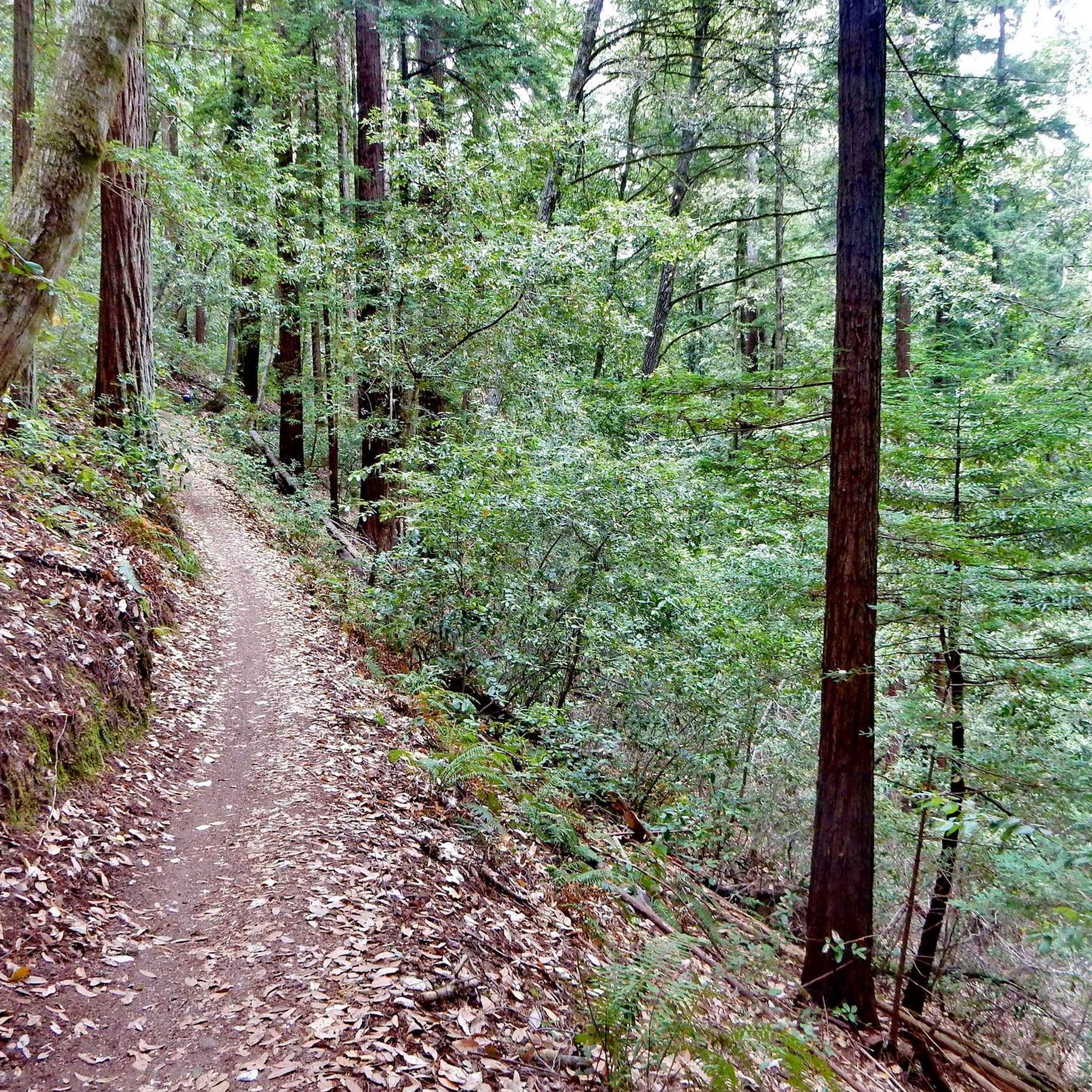
Road cycling in Windy Hill Open Space Preserve offers a diverse experience. You'll encounter breezy, grass-covered hilltops, as well as sections through redwood, fir, and oak forests. The preserve features open grassland ridges, oak woodlands, and grassy meadows, providing varied ecosystems and scenic backdrops. While some sections can be steep, many lower trails are fire roads suitable for cycling.
How challenging are the road cycling routes in Windy Hill Open Space Preserve?
The preserve offers a range of routes catering to different skill levels. You can find easy loops, moderate paths, and more challenging climbs. For instance, the Manzanita Way – Tree Tunnel on Portola Road loop from Portola Valley is considered easy, while routes like Old La Honda Road – Manzanita Way loop from Portola Valley are moderate, involving notable climbs and descents.
What scenic views can I expect while road cycling in Windy Hill Open Space Preserve?
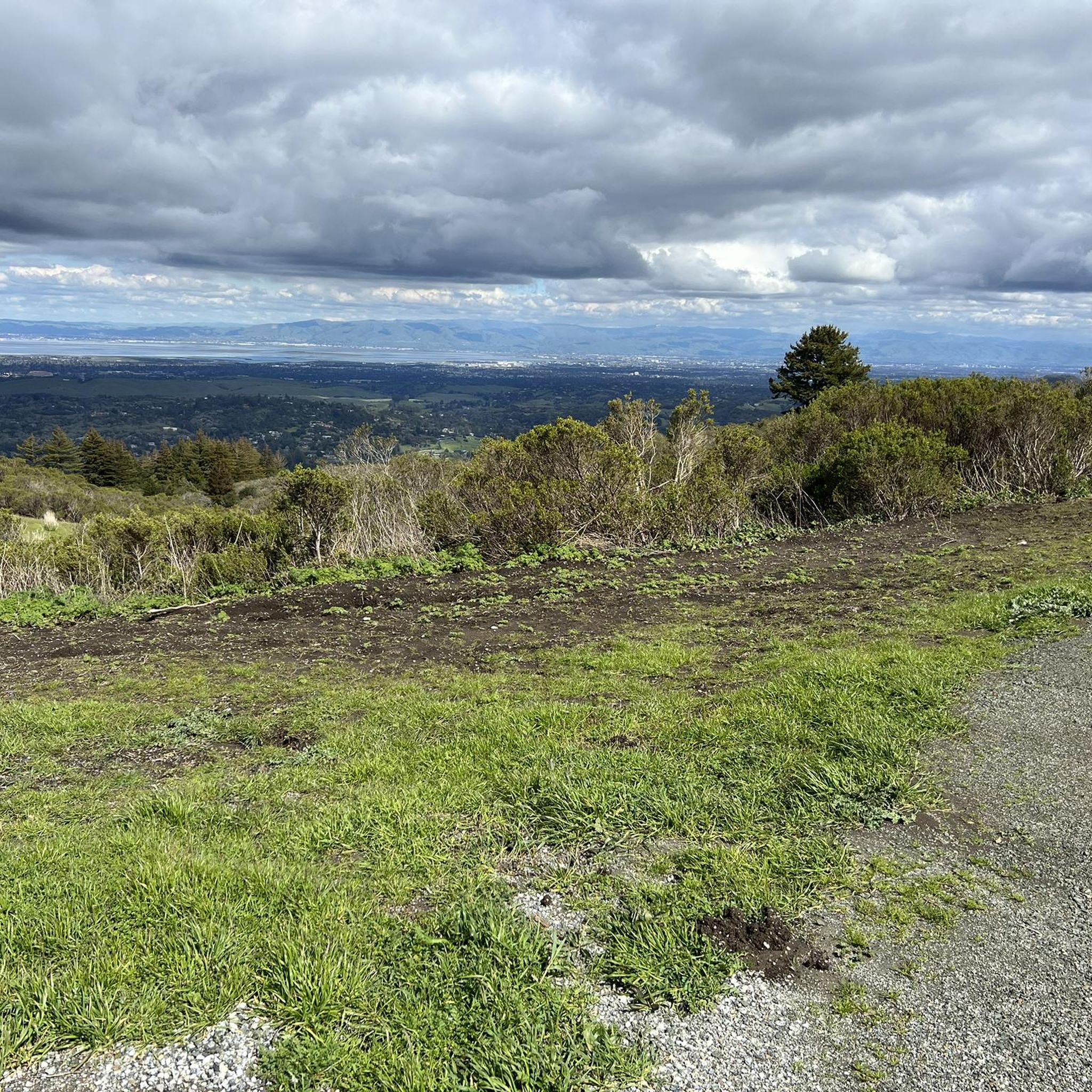
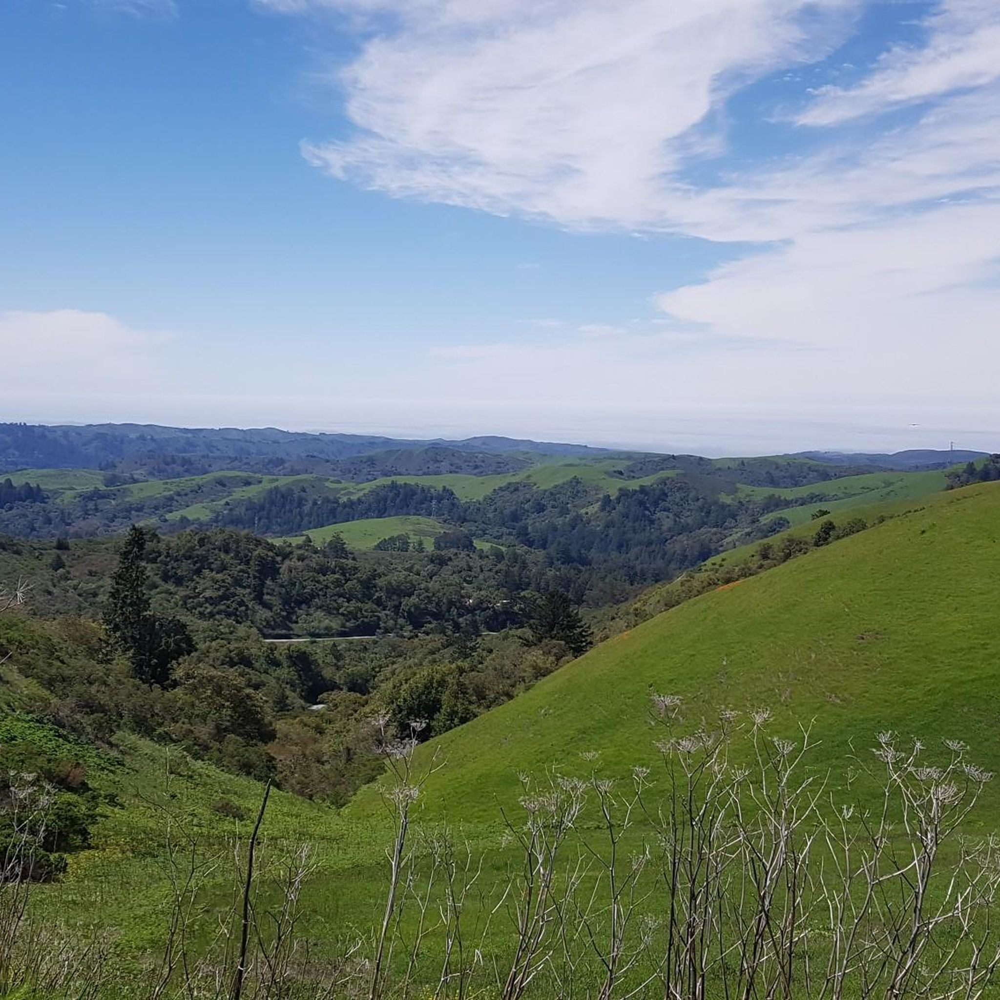
Road cycling in Windy Hill Open Space Preserve offers stunning panoramic views. From elevated points, especially the 1,905-foot summit, you can enjoy 360-degree vistas of both the San Francisco Bay and the Pacific Ocean. On clear days, you might even spot Stanford University, Mount Tamalpais, and Mount Diablo. The preserve's diverse trails also allow you to cycle through beautiful forested landscapes and open, grassy areas.
Are there any notable landmarks or natural features to see along the road cycling routes?
Yes, Windy Hill Open Space Preserve is rich in natural features and viewpoints. You can experience the distinctive, breezy, grass-covered hilltop, and cycle through areas with old-growth Douglas-Fir trees. Notable points include the Windy Hill Summit and the Windy Hill Open Space Preserve Scenic View. Sausal Pond is also a key natural feature, providing habitat for various wildlife.
Is parking available for road cyclists at Windy Hill Open Space Preserve?
Yes, parking is available. The Anniversary Trail, for example, connects two parking areas on Skyline Boulevard, providing convenient access for cyclists.
What is the best time of year to go road cycling in Windy Hill Open Space Preserve?
The preserve is known for its breezy conditions, which can be pleasant. Spring is particularly beautiful, as the grassy meadows burst with wildflowers. The area is often nourished by summer fog spilling over Skyline Ridge, contributing to a lush environment. The preserve opens a half-hour before sunrise and closes a half-hour after sunset, allowing ample time for rides throughout the day.
Are there family-friendly road cycling routes in Windy Hill Open Space Preserve?
While some sections can be steep, the preserve offers a variety of trail types, including easier fire roads, that can be suitable for families. Routes like the Manzanita Way – Tree Tunnel on Portola Road loop from Portola Valley are rated as easy and lead through pleasant oak woodlands and open spaces.
What do other road cyclists enjoy the most about road cycling in Windy Hill Open Space Preserve?
The area is highly rated by the komoot community, with an average score of 4.6 stars from over 150 reviews. Reviewers often praise the diverse terrain, from open grasslands to redwood forests, and the stunning panoramic views of the San Francisco Bay and Pacific Ocean from the ridge tops.
How many road cycling routes are available in Windy Hill Open Space Preserve?
There are over 35 road cycling routes available in Windy Hill Open Space Preserve, offering a wide range of options for different preferences and skill levels.
Are there any loop routes for road cycling in Windy Hill Open Space Preserve?
Yes, many of the road cycling routes in Windy Hill Open Space Preserve are designed as loops. Examples include the Rossotti's Alpine Inn – Junipero Serra Boulevard loop from Los Trancos Woods and the Tree Tunnel on Portola Road – Lower Kings Mountain Road loop from Portola Valley, allowing cyclists to start and finish at the same point.
Can I find routes with significant elevation gain for a challenging road cycling experience?
Absolutely. Windy Hill Open Space Preserve is known for its ascents, with the preserve encompassing the eastern side of Skyline Ridge and reaching a 1,905-foot summit. Routes like the Old La Honda Road – Old La Honda Road loop from Portola Valley offer over 400 meters of elevation gain, providing a good challenge for road cyclists.
Most popular routes in Windy Hill Open Space Preserve
Most popular attractions in Windy Hill Open Space Preserve

Get inspired with the komoot mobile app


Explore more
Browse the best Road cycling routes in other regions.
