The best MTB trails in Ravenswood Open Space Preserve
4.6
(20)
265
riders
29
rides
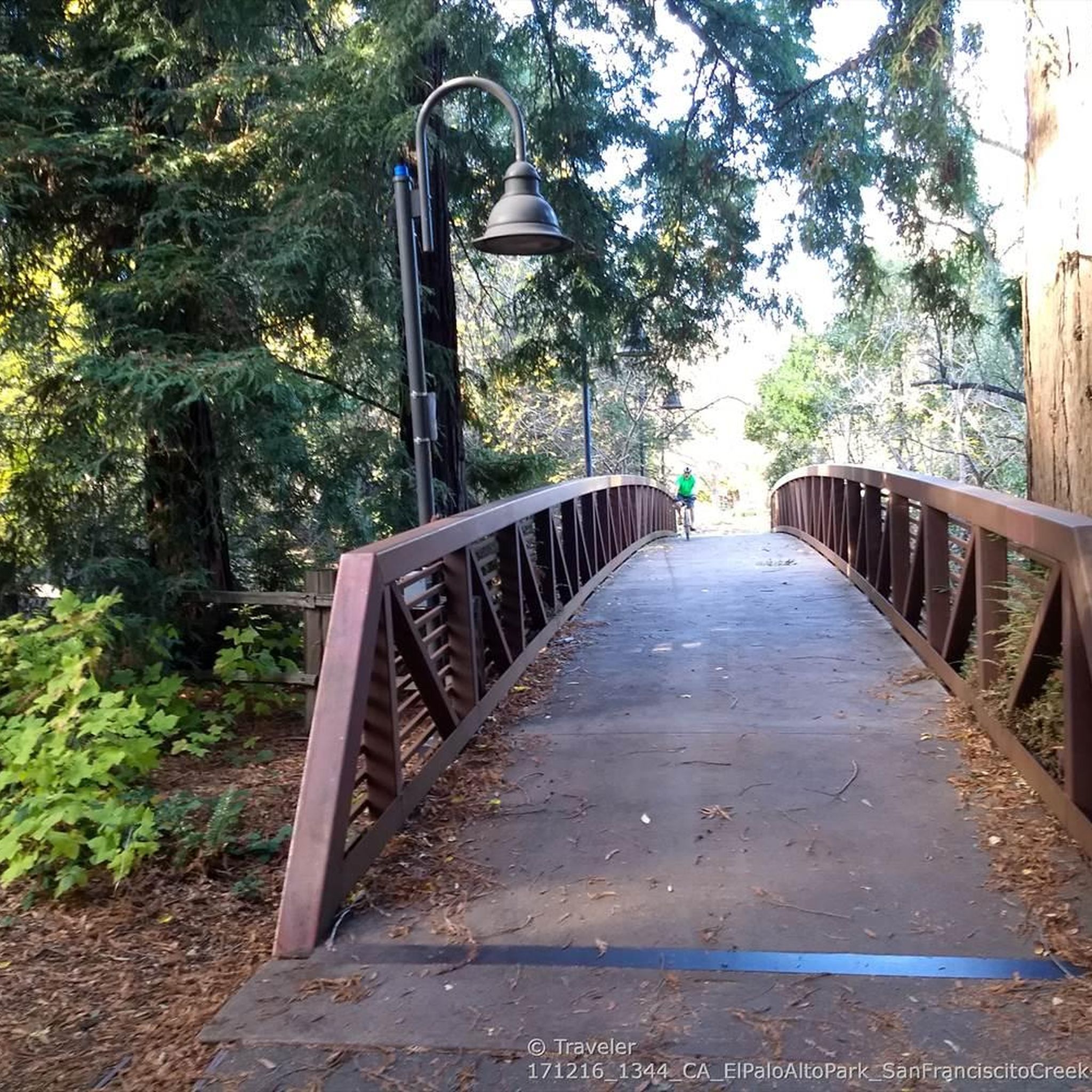
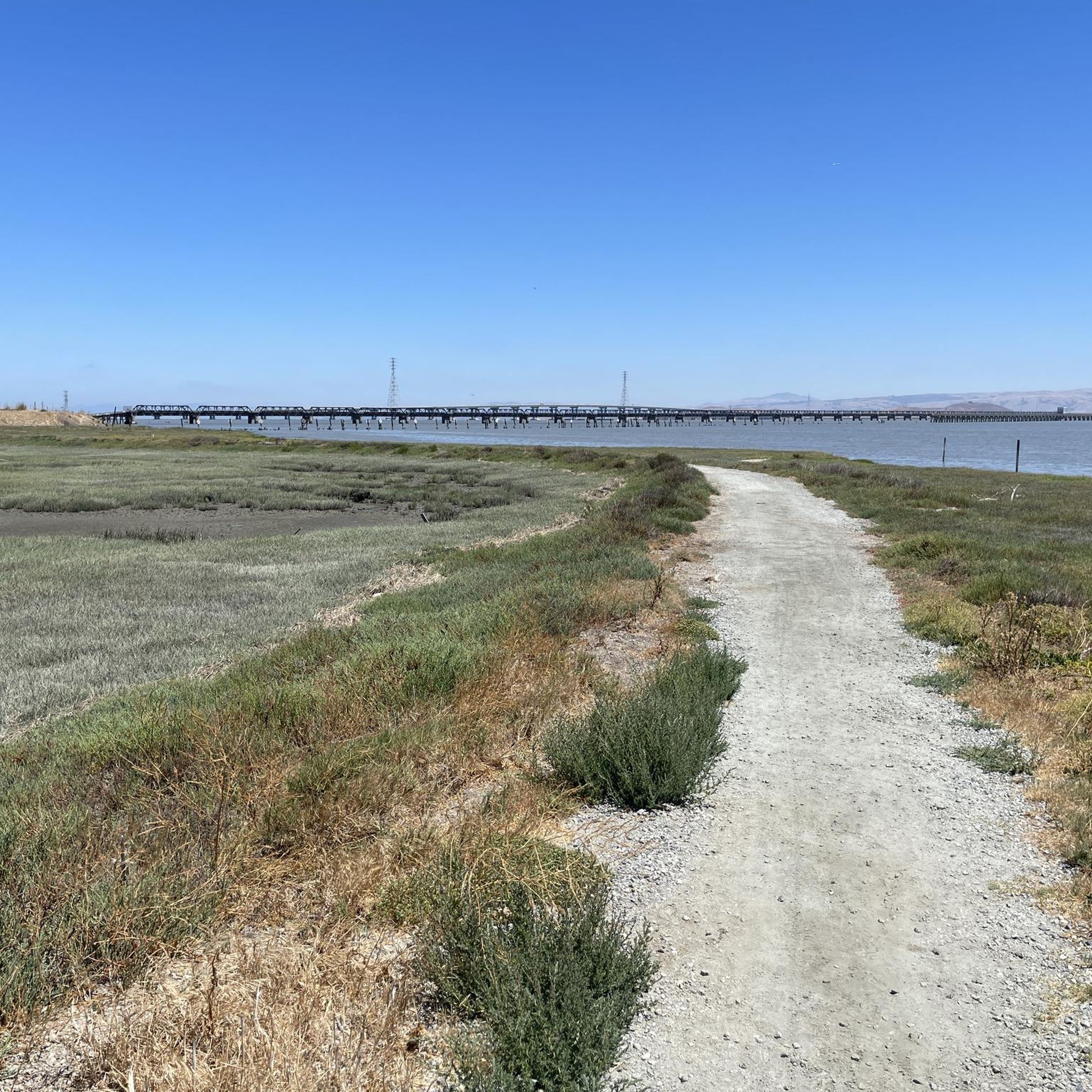
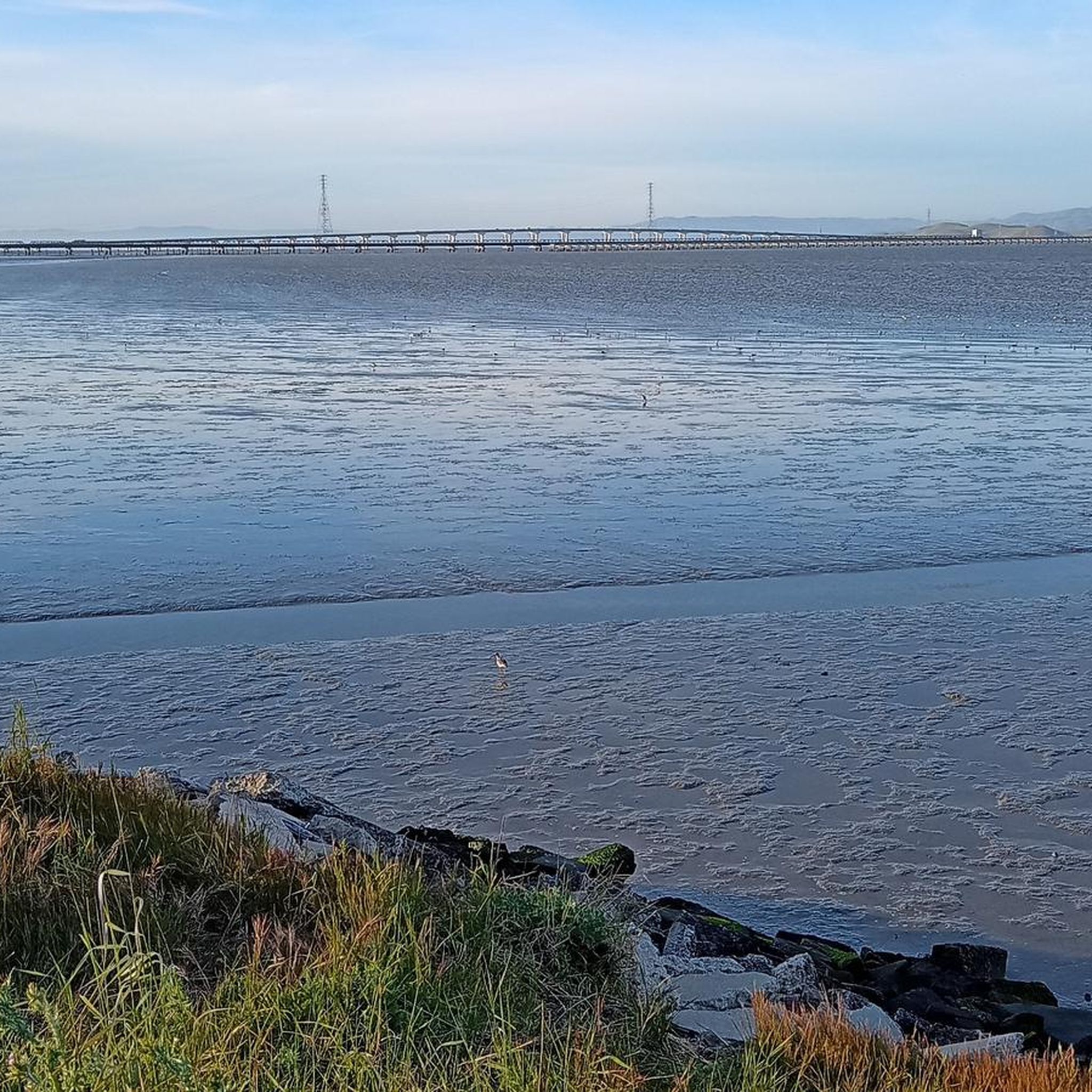
Mountain biking routes in Ravenswood Open Space Preserve are primarily characterized by flat, paved pathways integrated into the San Francisco Bay Trail. The preserve is situated within a 376-acre tidal marsh along the San Francisco Bay in San Mateo County, featuring wetlands and a network of waterways. Trails include paved paths, a bridge, and a raised boardwalk, providing an accessible and continuous cycling experience. The terrain is predominantly level, making it suitable for recreational cycling rather than rugged mountain biking.
…Last updated: October 11, 2026
5.0
(1)
10
riders
49.9km
04:31
880m
880m
Hard mountain bike ride. Good fitness required. Advanced riding skills necessary. Some portions of the route may require you to push your bike.
9
riders
76.4km
04:30
120m
120m
Moderate mountain bike ride. Good fitness required. Suitable for all skill levels.

9
riders
29.6km
01:57
290m
290m
Easy mountain bike ride. Great for any fitness level. Suitable for all skill levels.
3.0
(1)
7
riders
22.9km
01:26
250m
250m
Easy mountain bike ride. Great for any fitness level. Suitable for all skill levels.
5.0
(2)
7
riders
29.2km
02:06
400m
400m
Moderate mountain bike ride. Good fitness required. Suitable for all skill levels.
Get access to more routes and recommendations from other explorers.
Already have an account?
Our route recommendations are based on thousands of hikes, rides, and runs completed by other people on komoot.
Start today with a free account
Your next adventure awaits.
Tips from the Community

Enid Pearson-Arastradero Preserve offers rolling grasslands mixed with oak and evergreen trees. The trail system starts on pavement and transitions to packed dirt and gravel—great for bikes with wider tires or a solid gravel setup. Keep an eye out for deer, coyotes, and even bobcats, and take a moment to pause at one of the benches or by Arastradero Lake to enjoy the open views.
0
0

The Ancient Oaks Trail is a 1.7-mile loop that can be extended to approximately 3.5 miles by combining it with the Ridge or Charquin trails. It leads hikers through canyons, forests of live oaks, and grassy ridges with views from the Diablo Range to the Pacific Ocean. Come during the blooming of wildflowers and watch the hillsides transform color.
1
0

The Stanford Dish Trail parking area off Alpine Road (near Piers Lane and just west of Junipero Serra Boulevard) serves as a quieter but still well-used western entrance to the Dish hiking area. This access point offers a small parking lot and connects directly to the Dish loop’s rolling, paved trails. From here, you’ll begin with a gentle incline through open hillsides, quickly gaining elevation and views of the Santa Cruz Mountains. It’s a scenic entry with fewer crowds than the main Stanford Avenue gate. Like the rest of the Dish area, it’s open only to walkers, runners, and hikers—no dogs, no bikes. Come prepared for sun exposure and some steep grades.
0
0
The stretch of Stanford Avenue from Bowdoin Avenue to El Camino Real is a flat, tree-lined corridor ideal for a relaxed jog or warm-up before hitting the hills. It runs along the southern edge of Stanford’s main campus, offering wide sidewalks, light traffic, and shade from mature trees—especially pleasant in the early morning or late afternoon. This segment is about half a mile long, making it perfect for intervals or as part of a larger loop. You’ll pass a mix of residential homes and quiet academic buildings, with clear views toward the Santa Cruz Mountains. At El Camino Real, cross safely to loop into the Stanford campus or head downtown for a longer urban run.
0
0

This mostly paved bike trail alongside Alpine Road is great for bike commuting — just don't run over any slower trail users! The trail runs all the way from Portola Valley to Stanford, offering some nice shade along the way. The brief moments of unpaved trail are near the Portola Valley end.
0
0

Borel Hill is my favorite place to watch spring flowers. The western slope near ancient oaks (5-10min west of Borel Hill) are covered with orange California Poppies and purple flowers starting in April. Borel Hill itself peaks around mid May and has a wide variety of flowers. The show lasts only a few weeks until end of May. The peak time and flower intensity varies from year to year, so come several times between April and May. There is small summit NW of Borel Hill and a narrow dirt trail leads you to a rock within 2 min. The rock is big enough for 2-3 to sit on. On a sunny day, the rock is nice warm even if the air is cold. Good views on the ocean and the Bay.
1
0

Arizona Garden is also known as the Cactus Garden. The garden features a variety of unique plants, including columnar, barrel, and monstrose cacti, as well as succulents like Aloes, Crassulas, and rosette-forming Agaves.
1
0
Just right off the picnic bench area lies a viewpoint of the Pearson-Arastradero Preserve. An open meadow offers views of the preserve and surrounding mountains. It's a nice shaded area for a break!
0
0
Frequently Asked Questions
What kind of terrain can I expect on mountain bike trails in Ravenswood Open Space Preserve?
The trails in Ravenswood Open Space Preserve are predominantly flat and paved, forming part of the San Francisco Bay Trail. You'll find a mix of paved pathways, a bridge, and a raised boardwalk. This makes them ideal for recreational cycling and casual rides, rather than rugged, technical mountain biking.
How many mountain bike trails are available in Ravenswood Open Space Preserve?
There are over 20 mountain bike routes available in Ravenswood Open Space Preserve, offering a variety of distances and experiences. You can find options ranging from easy to difficult, though the terrain is generally flat.
Are there family-friendly mountain biking options in Ravenswood Open Space Preserve?
Yes, Ravenswood Open Space Preserve is excellent for family-friendly cycling. The trails are level, paved, and easily accessible, making them suitable for all skill levels, including children and those using strollers. Many of the 9 easy routes are perfect for a leisurely family outing.
What are some notable natural features or landmarks to see along the trails?
The preserve is situated within a 376-acre tidal marsh, offering views of wetlands and a network of waterways that change with the tides. You can also enjoy scenic views of the Dumbarton Bridge and the East Bay. Key landmarks include the Ravenswood Open Space Preserve itself, the Ravenswood Boardwalk, and nearby Cooley Landing, which offers additional walking trails and educational displays.
What kind of wildlife can I expect to see while mountain biking?
Ravenswood Open Space Preserve is a vital stop for migratory birds on the Pacific Flyway, so you can expect excellent birdwatching opportunities. Look out for sandpipers, dowitchers, avocets, great blue herons, white pelicans, and egrets. The marshlands also provide habitat for endangered species like the Ridgway's rail and the salt-marsh harvest mouse.
Are there any loop mountain bike trails in the preserve?
Yes, several routes offer a loop experience. For example, the San Francisco Bay Trail – Shoreline Lake loop from Palo Alto is a 47.5-mile moderate trail, and the Arastradero Lake – Bowl Loop Jumps loop from California Avenue is an easy 14.2-mile option.
What is the best time of year to go mountain biking in Ravenswood Open Space Preserve?
The preserve is generally accessible year-round due to its paved trails. However, spring and fall often offer the most pleasant weather for cycling, with milder temperatures. Birdwatching is particularly good during migratory seasons.
What do other mountain bikers enjoy most about the trails in Ravenswood Open Space Preserve?
The area is highly rated by the komoot community, with an average score of 4.7 stars from over 10 reviews. Reviewers often praise the accessible, flat paths, the scenic views of the San Francisco Bay, and the excellent birdwatching opportunities along the tidal marshlands.
Are dogs allowed on the mountain bike trails?
While the region research does not specify the exact dog policy for Ravenswood Open Space Preserve, most open space preserves in the area typically require dogs to be on a leash and restrict them from sensitive wildlife areas. It's always best to check the official Midpeninsula Regional Open Space District website for the most current regulations before your visit.
Where can I find parking for mountain biking in Ravenswood Open Space Preserve?
The preserve is designed for accessibility, and parking is generally available at designated trailheads and access points. Given its integration with the San Francisco Bay Trail and proximity to Cooley Landing, you can typically find parking facilities near these areas.
Are there any cafes or places to eat near the preserve?
While the preserve itself is focused on natural recreation, its location in East Palo Alto means there are cafes and dining options available in the surrounding communities. You'll find various establishments a short drive from the preserve for refreshments before or after your ride.
What is a good trail for beginners or those looking for an easy ride?
For beginners or an easy ride, consider the Alameda Creek Trail to the Bay – D.U.S.T. Trail loop from Visitor Contact Station & Restroom. This 16.3-mile route leads through tidal marshlands and Bay Trail segments, offering a gentle and scenic experience suitable for all skill levels.
Most popular routes in Ravenswood Open Space Preserve
Most popular attractions in Ravenswood Open Space Preserve

Get inspired with the komoot mobile app


Explore more
Browse the best MTB trails in other regions.
