Pleasanton Ridge Regional Park Restricted Area
Pleasanton Ridge Regional Park Restricted Area
The best road cycling routes in Pleasanton Ridge Regional Park Restricted Area
4.8
(103)
4,364
riders
153
rides
Road cycling routes in Pleasanton Ridge Regional Park Restricted Area traverse a landscape characterized by rolling hills, oak woodlands, and open grasslands. The region features paved roads with varying gradients, offering both challenging climbs and more gentle stretches. Elevations within the park generally consist of hills rather than mountains, providing scenic vistas of the surrounding valleys. The terrain is suitable for road cyclists seeking routes with elevation changes and natural scenery.
Best road cycling routes in Pleasanton Ridge Regional Park…
Last updated: August 4, 2026
31
riders
75.9km
03:33
430m
430m
Moderate road ride. Good fitness required. Some segments of this route may be unpaved and difficult to ride.
17
riders
27.9km
01:15
130m
130m
Moderate road ride. Great for any fitness level. Some segments of this route may be unpaved and difficult to ride.

Sign up for free
3.7
(3)
26
riders
56.9km
02:29
360m
350m
Embark on the Livermore Loop, a moderate racebike route that takes you through the scenic Livermore Valley. This 35.3-mile (56.9 km) journey offers expansive views of rolling, treeless hills and…
5.0
(1)
149
riders
113km
05:41
1,650m
1,650m
Hard road ride. Very good fitness required. Mostly well-paved surfaces and easy to ride.
144
riders
93.3km
04:30
1,180m
1,180m
Hard road ride. Very good fitness required. Mostly well-paved surfaces and easy to ride.
Get access to more routes and recommendations from other explorers.
Sign up for free
Already have an account?
Our route recommendations are based on thousands of hikes, rides, and runs completed by other people on komoot.
Start today with a free account
Your next adventure awaits.
Login or Signup
Popular around Pleasanton Ridge Regional Park Restricted Area
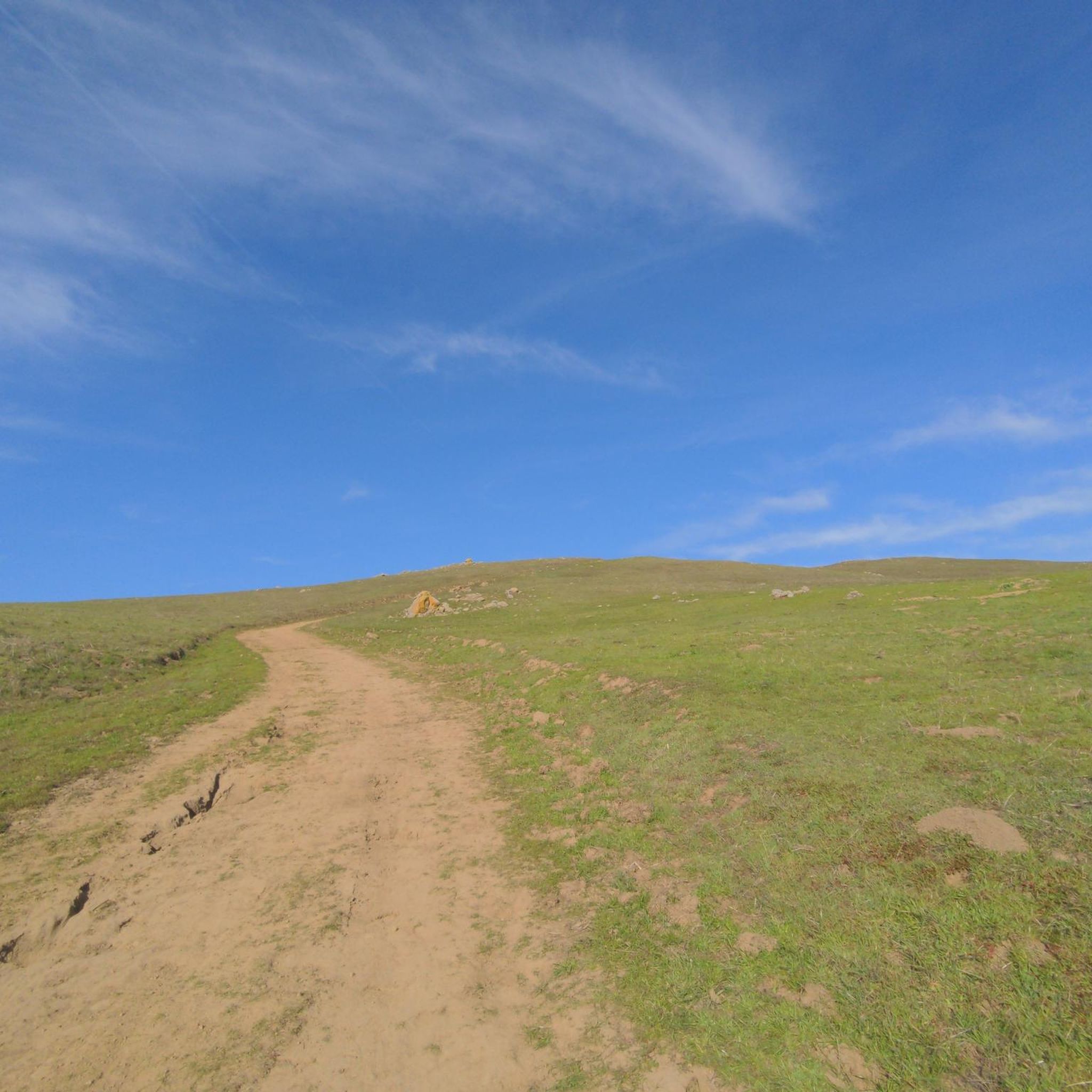
Hiking in Pleasanton Ridge Regional Park Restricted Area
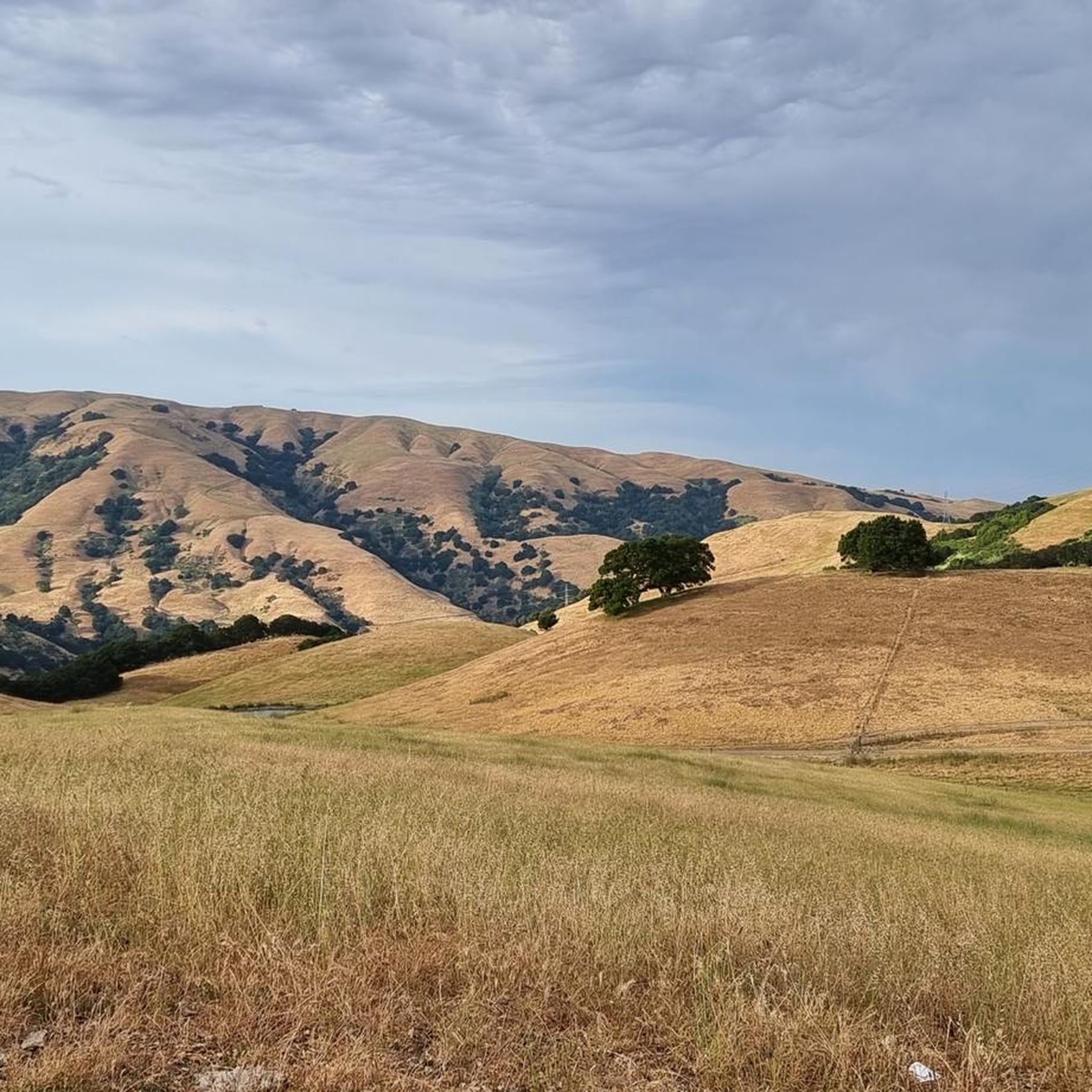
Running Trails in Pleasanton Ridge Regional Park Restricted Area
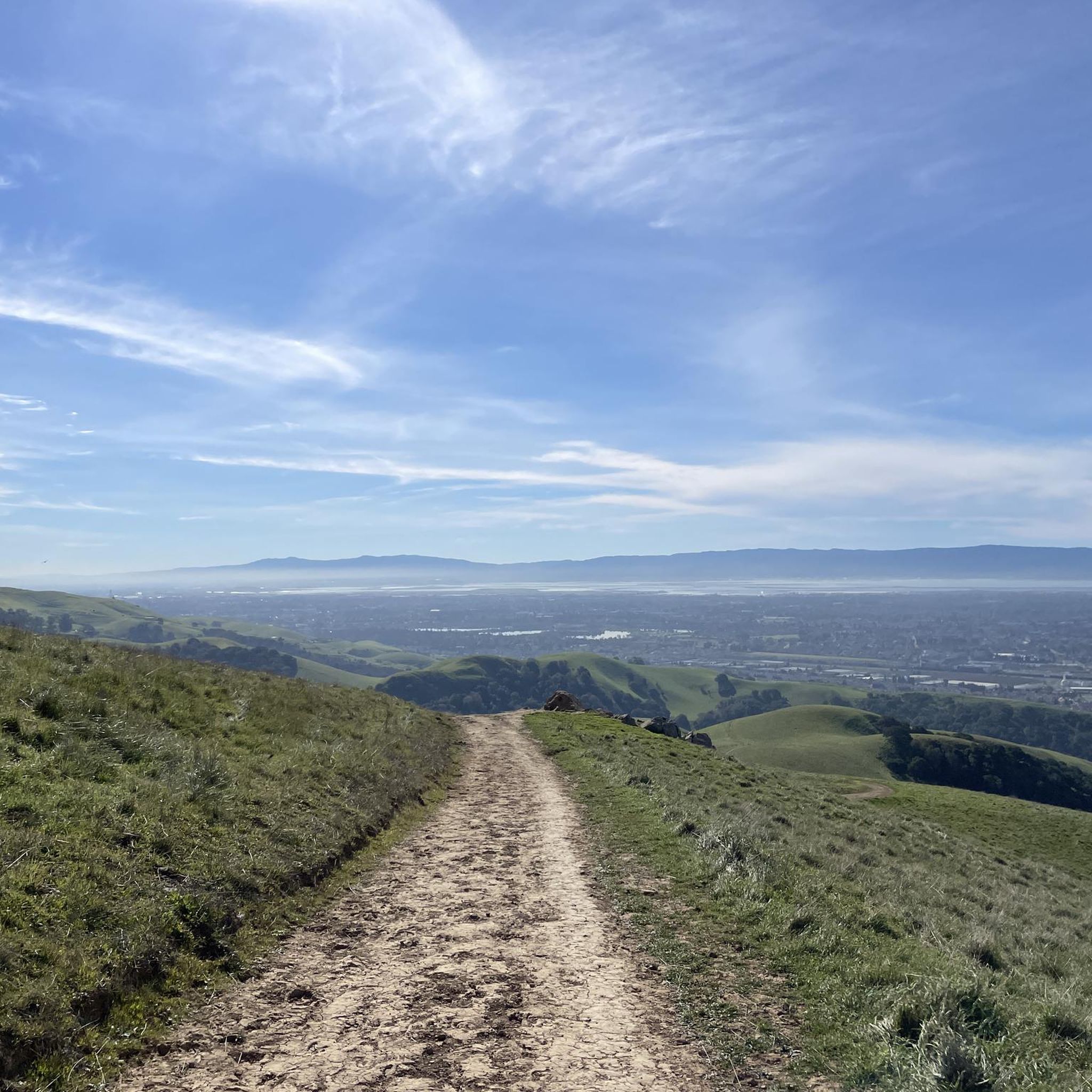
MTB Trails in Pleasanton Ridge Regional Park Restricted Area
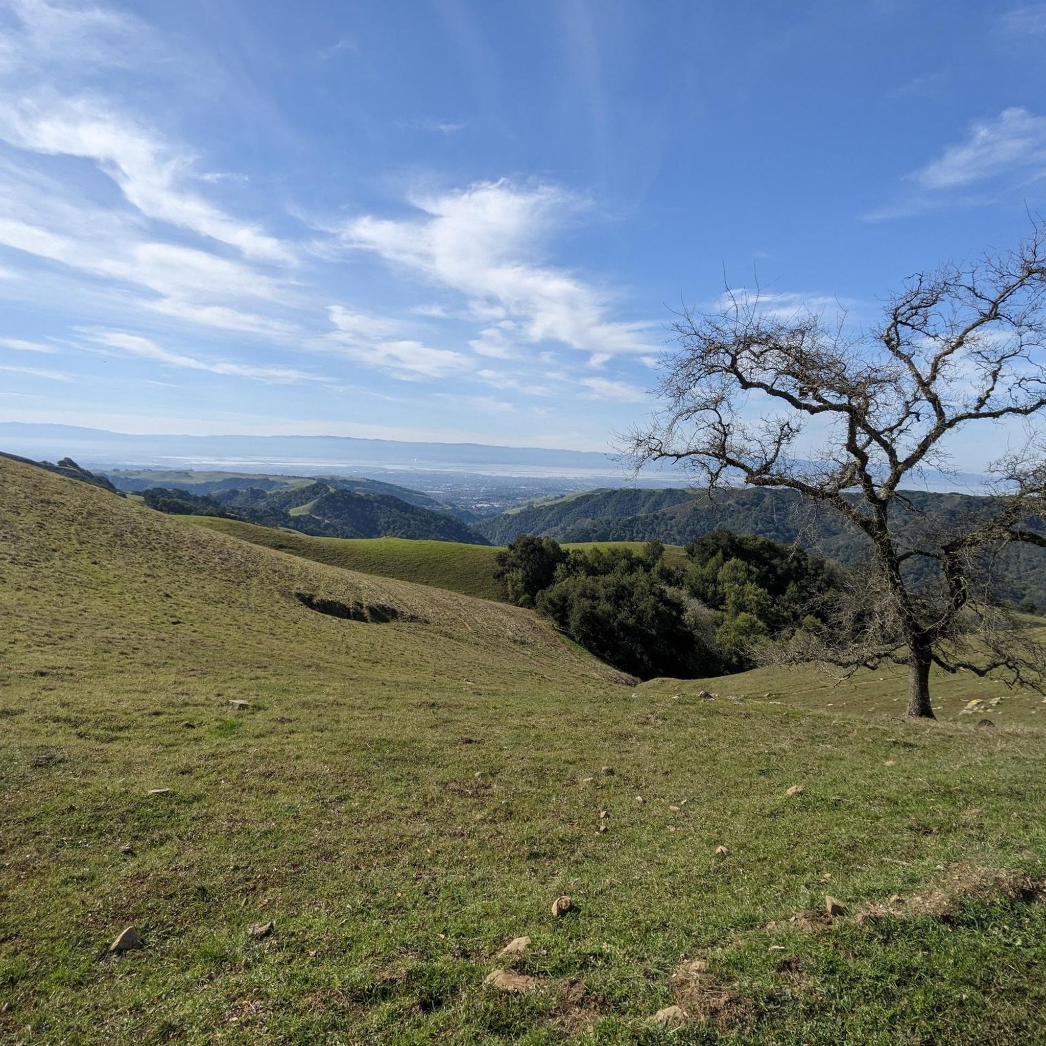
Cycling in Pleasanton Ridge Regional Park Restricted Area
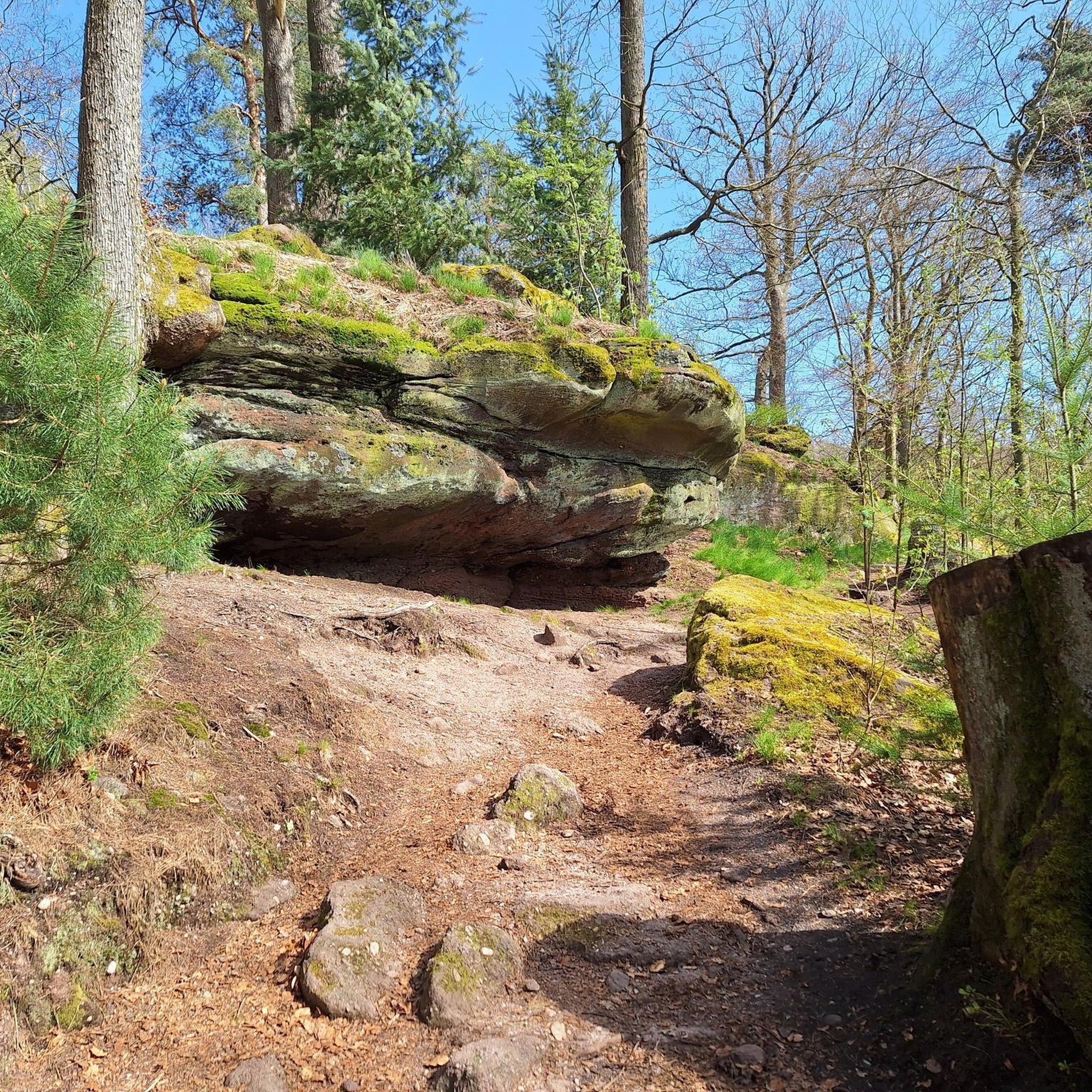
Gravel biking in Pleasanton Ridge Regional Park Restricted Area
Tips from the Community

The history of trains in Niles Canyon dates back to the building of the original transcontinental railroad. Today, you can still take train trips around the scenic and historic Niles Canyon Route on old-timey steam /diesel trains.
0
0

The Niles Canyon Railway Museum preserves the history of railroads in California. The museum is free, but only open on select Sundays, so check their schedule before going.
0
0

Though very short, this small section of easily visible cycling lane makes the intersection much easier to navigate on your bike.
0
0
This stretch of Foothill Road runs between the city and Pleasanton Ridge, giving you a great feeling of being on the edge of wilderness.
0
0
This section of Foothill Road follows closely along Arroyo de la Laguna. Seeing the river and unique farm animals on the side of the road is a treat!
0
0

Calfateras road begins by a robust climb, and then it changes to a series of switchbacks with spectacular views to the reservoir and surrounding park. The switchbacks alternate between downhill and moderate climbs, before a long downhill and flat terrain.
0
0

Riding south on Felter road from Calaveras after doing Polamares and and Calaveras Roads was a real challenge, especially since it was my first time! Get something to fuel up on at the Sunol Little Store!
0
0
This small picnic area right next to the trail is the perfect spot for a shady break on your ride.
0
0
Frequently Asked Questions
What is the typical length and difficulty of road cycling routes in Pleasanton Ridge Regional Park Restricted Area?
The road cycling routes in Pleasanton Ridge Regional Park Restricted Area vary significantly. You can find everything from easier loops, such as the Sunol Depot – Pleasanton Ridge Regional Park loop from Sunol at 13.8 miles (22.3 km) with minimal elevation gain, to very challenging rides like the Sunol Depot – Mount Hamilton Road loop from Sunol, which spans 104.6 miles (168.4 km) with over 2,700 meters of elevation gain.
How many road cycling routes are available in Pleasanton Ridge Regional Park Restricted Area?
There are over 150 road cycling routes documented in Pleasanton Ridge Regional Park Restricted Area on komoot. These include a diverse range of options, with approximately 65 easy routes, 66 moderate routes, and 19 difficult routes to choose from.
Are there easy road bike routes suitable for beginners or casual rides?
Yes, there are numerous easy road bike routes. For instance, the Sunol Depot – Pleasanton Ridge Regional Park loop from Sunol is an easy 13.8-mile (22.3 km) trail that takes about 57 minutes to complete, offering a pleasant ride through the park's lower elevations.
Where can I find parking for road biking at Pleasanton Ridge Regional Park Restricted Area?
While specific parking areas are not detailed in the route descriptions, regional parks typically offer designated parking lots at trailheads or main entrances. It is advisable to check the official Pleasanton Ridge Regional Park website or local signage upon arrival for the most current parking information and regulations.
What is the best season for road biking in Pleasanton Ridge Regional Park Restricted Area?
The region's climate, characterized by rolling hills, oak woodlands, and open grasslands, generally makes spring and fall ideal for road cycling. Temperatures are milder, and the scenery is often at its best. Summers can be hot, especially in open areas, while winters may bring rain, affecting road conditions.
What kind of weather conditions can I expect while road biking in the area?
Pleasanton Ridge Regional Park experiences a Mediterranean climate. Expect warm, dry summers and mild, wet winters. Always check the local weather forecast before heading out, as conditions can change, especially with elevation changes. Be prepared for sun exposure on open stretches and potential fog or cooler temperatures in shaded or higher areas.
Are there any challenging road bike trails for experienced cyclists?
Absolutely. Experienced cyclists can tackle routes with significant elevation gain and longer distances. The Dublin Canyon Route – Foothill Road — Pleasanton loop from Sunol is a difficult 67.1-mile (108.0 km) path with substantial climbs and descents. Another demanding option is the Foothill Road — Pleasanton – Palomares Road loop from West Dublin/Pleasanton, covering 93.2 miles (150 km) with over 1,100 meters of ascent.
What do other road cyclists enjoy most about road cycling in Pleasanton Ridge Regional Park Restricted Area?
The area is highly rated by the komoot community, with an average score of 4.7 stars from over 70 reviews. Reviewers often praise the varied terrain, from rolling hills to scenic valley views, and the options available for different ability levels. The natural scenery and challenging climbs are frequently highlighted as key attractions.
Are there any scenic overlooks or points of interest along the road cycling routes?
The routes traverse a landscape of rolling hills, oak woodlands, and open grasslands, providing numerous scenic vistas of the surrounding valleys. While specific named overlooks are not detailed, the nature of the terrain ensures many opportunities for panoramic views, particularly on routes with higher elevation gains.
Are there loop road bike trails available in the Pleasanton Ridge Regional Park Restricted Area?
Yes, many of the road cycling routes in the area are designed as loops, allowing you to start and end at the same point. Examples include the Sunol Depot – Mount Hamilton Road loop from Sunol and the Livermore Loop, offering convenient circular journeys.
What should I bring for road biking in Pleasanton Ridge Regional Park Restricted Area?
Given the varied terrain and potential for longer rides, it's recommended to bring sufficient water, energy snacks, a repair kit (including spare tubes and a pump), and appropriate sun protection (sunscreen, sunglasses, hat). A helmet is essential, and layers of clothing are advisable to adapt to changing temperatures, especially on routes with significant elevation changes.
Most popular routes in Pleasanton Ridge Regional Park Restricted Area

Get inspired with the komoot mobile app


Explore more
Browse the best Road cycling routes in other regions.
