The best road cycling routes in Dublin Hills Regional Park
4.7
(65)
3,508
riders
105
rides
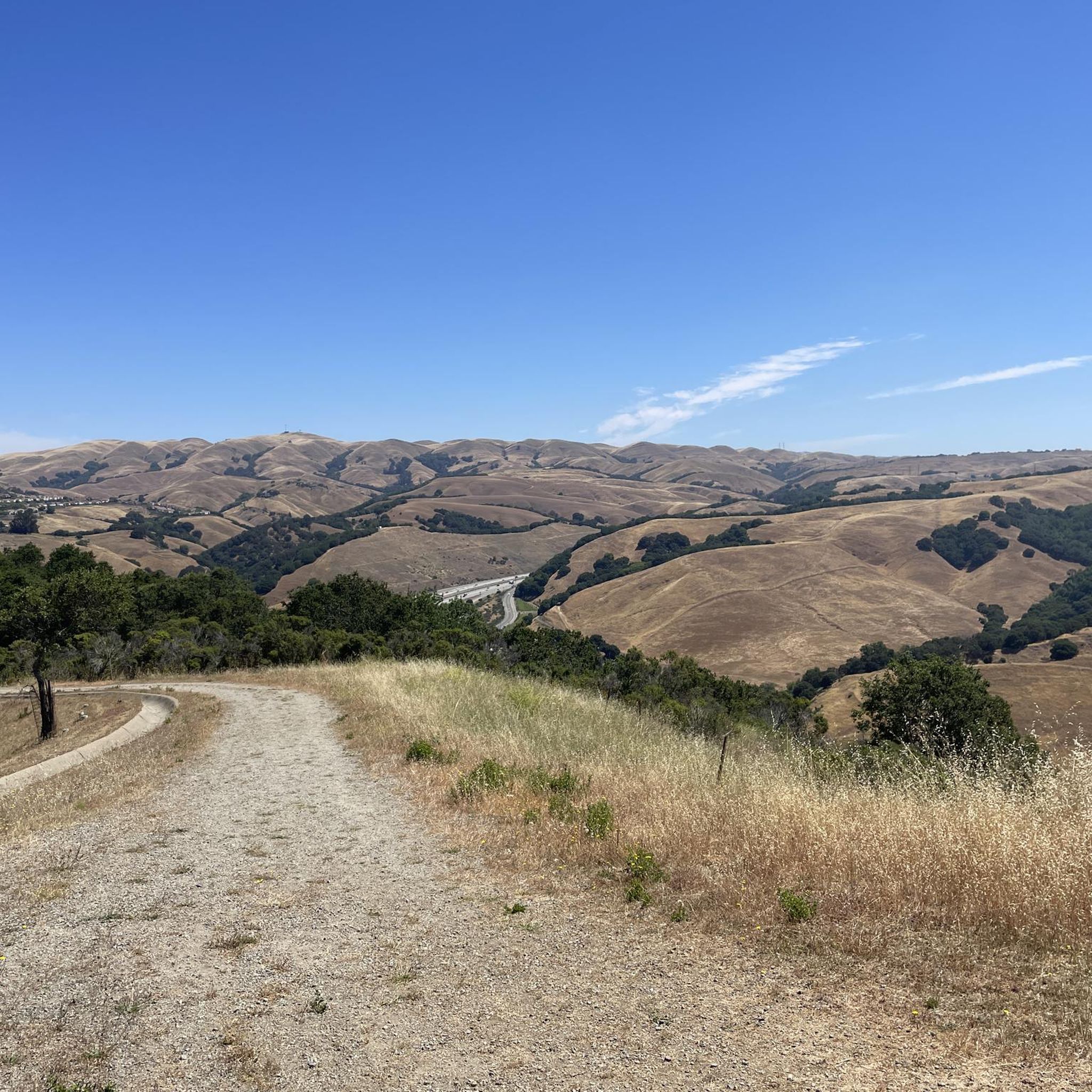
Road cycling in Dublin Hills Regional Park offers diverse terrain within an undeveloped open space corridor. The park features a main ridge, rolling hills, and steep-sloped canyons, providing varied cycling experiences. From ridgetops like Donlon Point, panoramic views of the Tri-Valley, Livermore Valley, and distant peaks are visible. The landscape transitions from shady trails to sunny, open hilltops and grasslands, defining much of the cycling environment.
Best road cycling routes in Dublin Hills Regional Park
- The most popular road cycling…
Last updated: August 5, 2026
3.7
(3)
26
riders
56.9km
02:29
360m
350m
Embark on the Livermore Loop, a moderate racebike route that takes you through the scenic Livermore Valley. This 35.3-mile (56.9 km) journey offers expansive views of rolling, treeless hills and…
5.0
(1)
149
riders
113km
05:41
1,650m
1,650m
Hard road ride. Very good fitness required. Mostly well-paved surfaces and easy to ride.

Sign up for free
144
riders
93.3km
04:30
1,180m
1,180m
Hard road ride. Very good fitness required. Mostly well-paved surfaces and easy to ride.
46
riders
141km
06:17
1,250m
1,250m
Hard road ride. Very good fitness required. Mostly well-paved surfaces and easy to ride.
42
riders
53.9km
02:39
210m
210m
Moderate road ride. Good fitness required. Some segments of this route may be unpaved and difficult to ride.
Get access to more routes and recommendations from other explorers.
Sign up for free
Already have an account?
Our route recommendations are based on thousands of hikes, rides, and runs completed by other people on komoot.
Start today with a free account
Your next adventure awaits.
Login or Signup


Tips from the Community

The Museum of the San Ramon Valley was established in 1985 and sits in a restored 1891 Southern Pacific Railroad Depot with the Victorian-era “Combination Station No. 22” listed on the National Register of Historic Places. The Official Visitor Information Center offers maps, guides, and knowledgeable staff, along with free parking and restrooms located in the caboose.
1
0

Though very short, this small section of easily visible cycling lane makes the intersection much easier to navigate on your bike.
0
0
This stretch of Foothill Road runs between the city and Pleasanton Ridge, giving you a great feeling of being on the edge of wilderness.
0
0
This section of Foothill Road follows closely along Arroyo de la Laguna. Seeing the river and unique farm animals on the side of the road is a treat!
0
0

Calfateras road begins by a robust climb, and then it changes to a series of switchbacks with spectacular views to the reservoir and surrounding park. The switchbacks alternate between downhill and moderate climbs, before a long downhill and flat terrain.
0
0

Riding south on Felter road from Calaveras after doing Polamares and and Calaveras Roads was a real challenge, especially since it was my first time! Get something to fuel up on at the Sunol Little Store!
0
0
This is a nice stretch of road that follows along the path of Alameda Creek as it cuts through the foothills.
0
0
When in season you will see a lot of beautiful oleander lining the road along this stretch.
0
0
Frequently Asked Questions
What kind of terrain can I expect when road cycling in Dublin Hills Regional Park?
Dublin Hills Regional Park offers a diverse road cycling experience, characterized by a main ridge, rolling hills, and steep-sloped canyons. You'll encounter a mix of sunny, open hilltops and grasslands, with some routes featuring shady sections along creeks. The varied terrain provides options for different fitness levels, from moderate climbs to challenging ascents.
Are there road cycling routes suitable for beginners in Dublin Hills Regional Park?
Yes, there are several easier road cycling options. For instance, the Livermore Loop is a moderate 56.9 km route that offers a balanced ride. Another easy option is the Foothill Road — Pleasanton – Pleasanton Ridge Regional Park loop from West Dublin/Pleasanton, which is 28.6 km with a more gentle elevation gain.
Where can I find challenging road cycling routes with significant elevation gain?
For a more demanding ride, consider routes that traverse the scenic East Bay hills. The Foothill Road — Pleasanton – Palomares Road loop from West Dublin/Pleasanton is a difficult 93.2 km path with over 1,100 meters of elevation gain. Another challenging option is the Alamo Canal Trail – Morgan Territory Road loop from West Dublin/Pleasanton, which spans 116 km and features over 1,600 meters of climbing.
What kind of views can I expect while road cycling in the park?
Road cycling in Dublin Hills Regional Park offers spectacular panoramic views. From ridgetops like Donlon Point, you can enjoy expansive vistas of the Tri-Valley, Dublin Canyon, Livermore Valley, Pleasanton Ridge, and even distant peaks such as Mount Diablo, Rose Peak, Vollmer Peak, and Mount Round Top. The open grasslands also provide wide-open scenic backdrops.
What is the best time of year to go road cycling in Dublin Hills Regional Park?
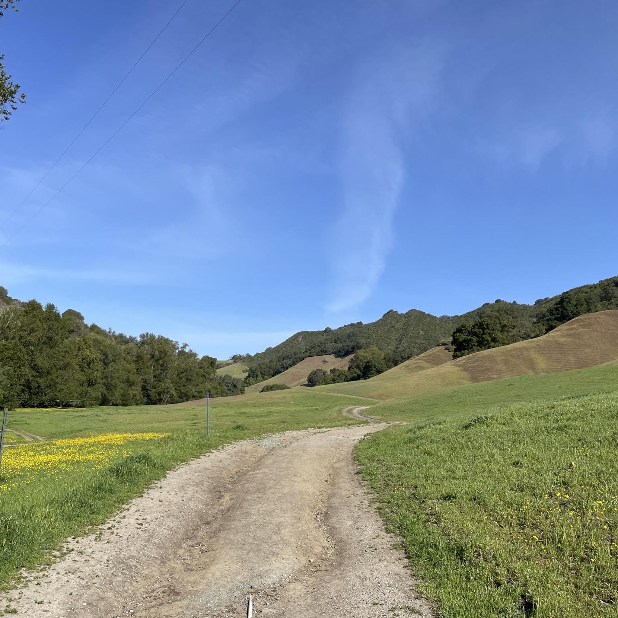
The hills transition from vibrant green in the spring, often with blooming poppies, to golden yellow in the summer and fall. Spring offers lush scenery, while summer and fall provide drier conditions. Ponds and creeks may retain water even in summer, adding to the natural beauty. Consider cooler mornings in summer to avoid peak heat.
Are there any notable natural features or wildlife I might encounter?
The park is home to diverse natural features. You might find shady trails lined with green ferns and moss-covered trees, particularly along Martin Canyon Creek. Wildlife is abundant, with deer frequently seen, and coyotes occasionally spotted. Hawks can also be observed riding the wind currents above the valleys.
How accessible is Dublin Hills Regional Park for road cyclists, regarding parking and public transport?
The park is easily accessible from Interstates 580 and 680. Modern staging areas offer convenient parking and restrooms, making it a good destination for quick outdoor getaways. While specific public transport routes directly to trailheads for cycling aren't detailed, its proximity to major interstates suggests good car access.
What do other road cyclists say about their experience in Dublin Hills Regional Park?
The road cycling routes in Dublin Hills Regional Park are highly rated by the komoot community, with an average score of 4.7 stars from over 50 reviews. Cyclists often praise the varied terrain, the stunning panoramic views from the ridgetops, and the overall engaging natural beauty of the park.
Are there any road cycling routes that form a loop in the park?
Many of the road cycling routes in Dublin Hills Regional Park are designed as loops, allowing you to start and end at the same point. Examples include the Livermore Loop and the Iron Horse Trail – Golf Ball Protection Tunnel loop from Dublin, providing convenient circular journeys.
How long does it typically take to complete a road cycling route in Dublin Hills Regional Park?
The duration varies significantly depending on the route's length and difficulty. For example, a moderate route like the Livermore Loop (56.9 km) typically takes around 2 hours and 29 minutes. Shorter, easier routes can be completed in under 2 hours, while longer, difficult routes may take 4-5 hours or more.
Are there any cafes or amenities near the road cycling trails in Dublin Hills Regional Park?
While the park itself is an undeveloped open space, its accessibility from nearby towns like Dublin, Pleasanton, and Livermore means you'll find various cafes, restaurants, and other amenities in these urban centers. Many routes start or pass close to these towns, making it convenient to refuel before or after your ride.
Most popular routes in Dublin Hills Regional Park

Get inspired with the komoot mobile app


Explore more
Browse the best Road cycling routes in other regions.
