The best MTB trails in Del Valle Regional Park
4.2
(8)
163
riders
17
rides
Mountain biking in Del Valle Regional Park features a diverse network of trails winding through chaparral-covered hills and along the shores of Lake Del Valle. The park offers a mix of fire roads and bike-legal singletrack, providing varied terrain for mountain bikers. Elevation changes are significant in areas, with some climbs exceeding 15%. The landscape includes open hills, oak woodlands, and dramatic sedimentary cliffs, offering panoramic views of the surrounding valleys and the five-mile-long reservoir.
Best mountain bike trails in…
Last updated: October 11, 2026
5.0
(1)
11
riders
21.1km
02:05
430m
430m
Moderate mountain bike ride. Good fitness required. Suitable for all skill levels.
5.0
(1)
7
riders
Moderate mountain bike ride. Good fitness required. Suitable for all skill levels.

8
riders
Easy mountain bike ride. Great for any fitness level. Suitable for all skill levels.
4
riders
Easy mountain bike ride. Great for any fitness level. Suitable for all skill levels.
4.0
(1)
23
riders
35.5km
03:15
710m
710m
Moderate mountain bike ride. Good fitness required. Suitable for all skill levels.
Get access to more routes and recommendations from other explorers.
Already have an account?
Our route recommendations are based on thousands of hikes, rides, and runs completed by other people on komoot.
Start today with a free account
Your next adventure awaits.
Tips from the Community

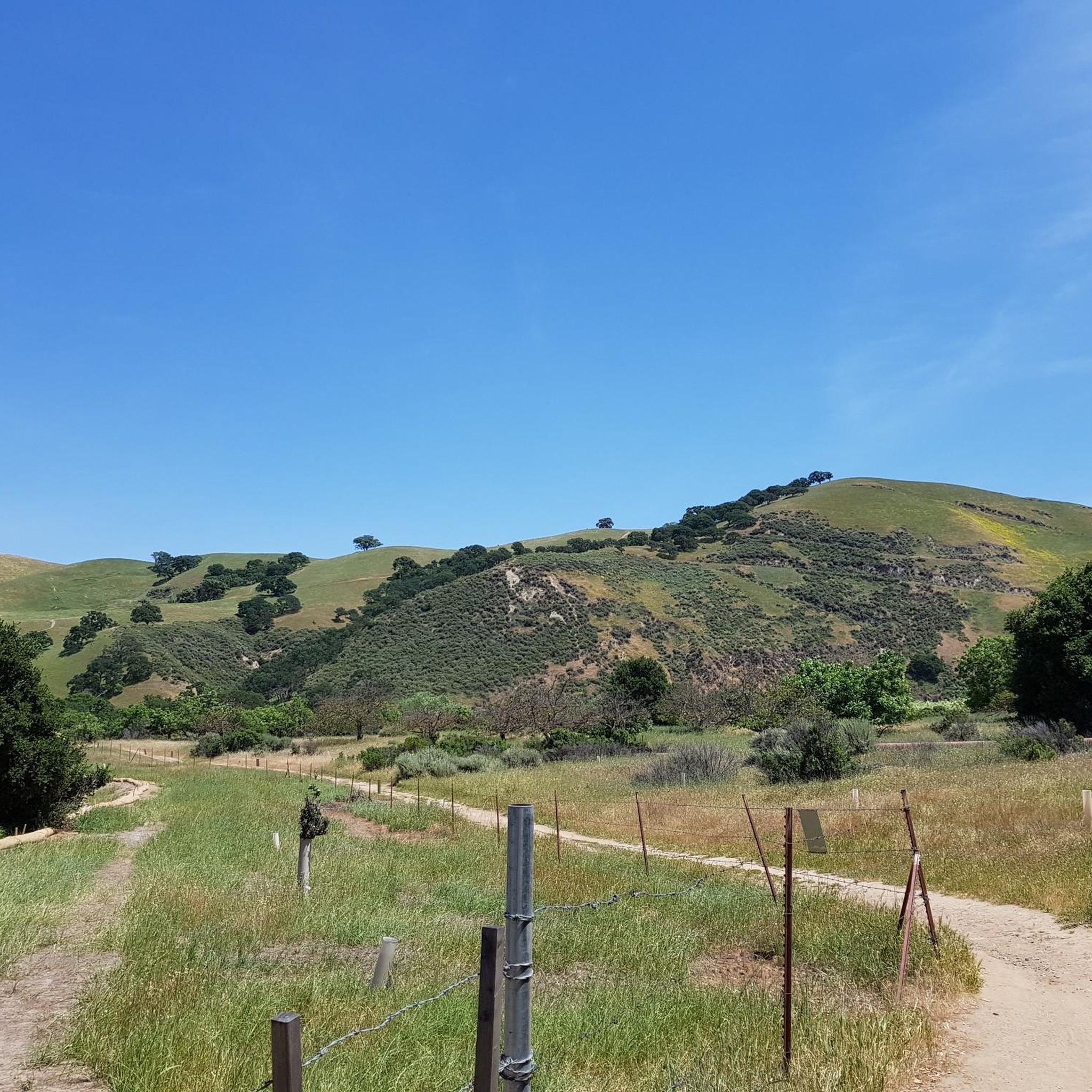
There is a paved foot & bike path that runs straight through the park to Arroyo Road, though I am not sure if it actually has an exit onto the road. It continues further into Veterans Park. Of the gravel trails some are closed to bikes for nature preservation reasons. Others allow for a (mostly) easy gravel ride.
0
0

At this point on Del Valle Lake, you can relax on its beach and even take a refreshing dip in the lake (always with caution). Additionally, there's a picnic area where you can recharge your energy while enjoying the surroundings
0
0
At this point on Del Valle Lake, you can relax on its beach and even take a refreshing dip in the lake (always with caution). Additionally, there's a picnic area where you can recharge your energy while enjoying the surroundings.
1
0

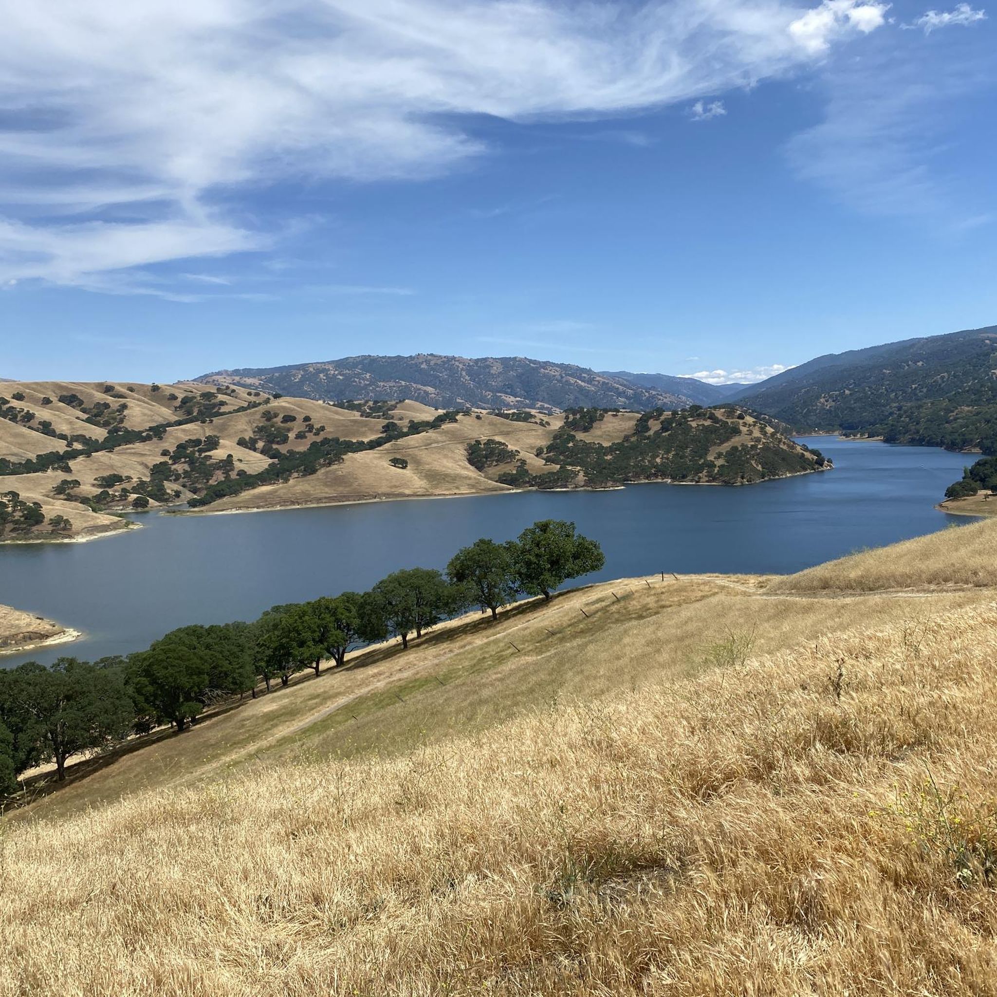
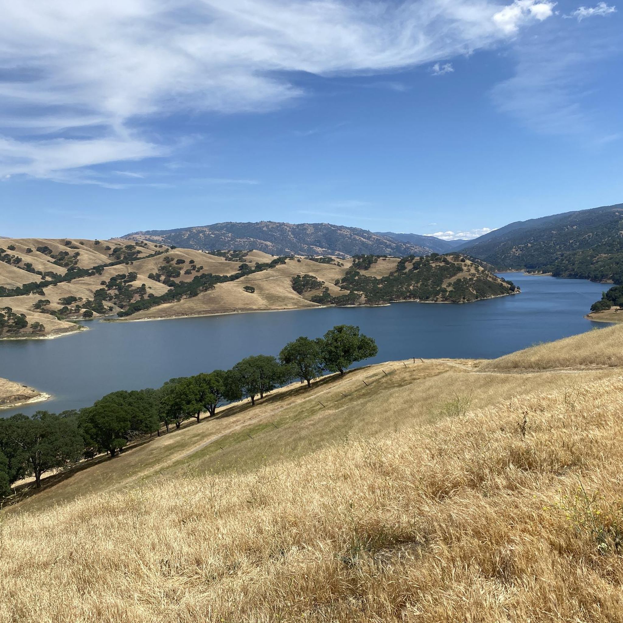
Del Valle Lake was formed by Del Valle Dam, completed in 1968. The lake, about 5 miles long, has trails meandering along it, offering stunning views along the way. As the name suggests, the lake is tucked in a valley, with plenty of higher vantage points to enjoy the views.
0
0

The first section of East Shore Trail passes by Arroyo Del Valle River and then goes towards a steep ridge line by the southern Livermore Hills, delivering sweeping panoramic views of the parkland.
0
0
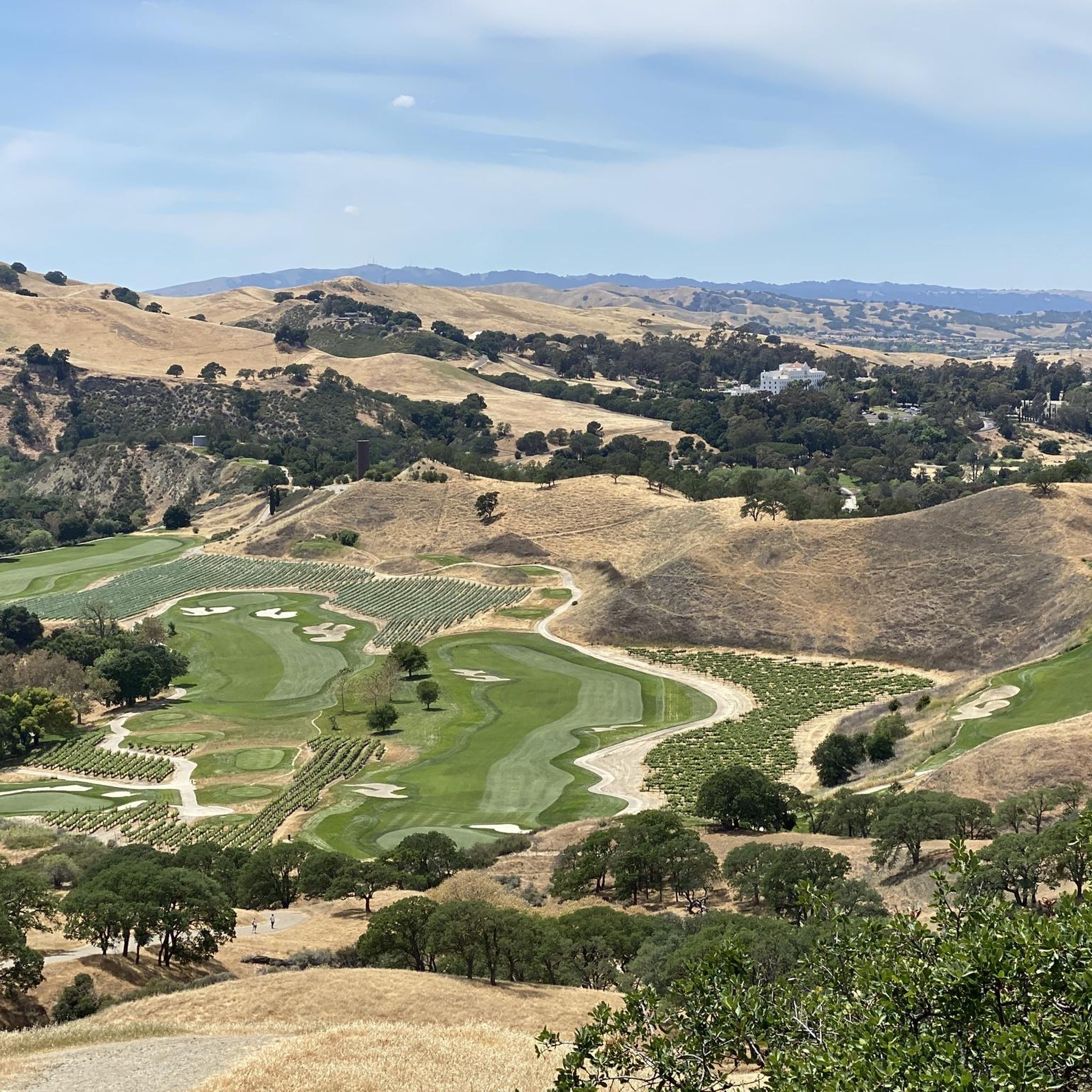
An 847 acre open space park with many native animals that can be spotted from the hiking trails, such as deer, turkey, rabbits, gopher snakes, occasional coyotes, and plenty of bird life. There are many hiking and biking trails in the park, that can be combined to make loops and to access viewpoints. The Sycamore Grove charges a parking fee of $5. For more information, please visit larpd.org/sycamore-grove-park.
0
0

You won't find much shade here, but this little pond still makes a nice break in the otherwise austere — although still beautiful — scenery.
0
0
A well-marked and well-maintained trail, where you can spot wildlife and have scenic views of Lake Del Valle. There is little shade on the Ridgeline Trail loop, so it is recommended to do it in early spring, autumn, and winter seasons. The park charges a fee of $6.
0
0
Frequently Asked Questions
How many mountain bike trails are available in Del Valle Regional Park?
Del Valle Regional Park offers a network of over 20 mountain bike trails. These routes vary in difficulty, providing options for different skill levels, from easy loops to more challenging rides.
What kind of terrain can I expect on the mountain bike trails in Del Valle Regional Park?
The park features a diverse mix of terrain, including extensive fire roads and a good amount of bike-legal singletrack, which is somewhat unique for the East Bay area. You'll encounter chaparral-covered hills, oak woodlands, and dramatic sedimentary cliffs. Elevation changes can be significant, with some climbs exceeding 15%.
Are there mountain bike trails suitable for beginners in Del Valle Regional Park?
Yes, there are several easy mountain bike trails in Del Valle Regional Park. For instance, the Arroyo del Valle and Winery Loop is an easy 7.2-mile route with minimal elevation gain, perfect for those new to mountain biking. Another easy option is the Southern Livermore Hills – Cattail Pond loop from Camp Arroyo Pool, which is 9.2 miles long.
What do other mountain bikers enjoy most about Del Valle Regional Park?
The mountain bike trails in Del Valle Regional Park are highly rated by the komoot community, with an average score of 4.0 stars from over 5 reviews. Riders often praise the extensive lake views, the varied terrain that includes both fire roads and singletrack, and the scenic beauty of the chaparral-covered hills.
Are there challenging mountain bike routes for advanced riders?
While the guide data lists moderate routes, the park is known for offering more advanced options. Regionally, trails like "Chutes & Splatters," "Mystery Trail" (Pinball), and "Flubber" are recognized for technical features, berms, drops, and jumps. Routes such as "Del Valle Royal Rumble" and "Del Valle Rowdy" are designed to incorporate the park's best downhill and black diamond trails, catering to experienced riders.
What natural features and landmarks can I see along the mountain bike trails?
Many trails offer continuous views of Lake Del Valle, a five-mile-long reservoir. You can also pass by scenic spots like Badger Cove and enjoy panoramic vistas from higher points such as the Ridgeline Trail or the East Shore Trail Viewpoint. The park also features dramatic sedimentary cliffs, especially visible near the northern end of the reservoir.
Are there any circular mountain bike routes in Del Valle Regional Park?
Yes, many of the mountain bike routes in Del Valle Regional Park are circular. For example, the popular Badger Cove – Lake Del Valle loop from Del Valle Regional Park is a 14.4-mile moderate route offering extensive lake views. Another great loop is the Lake Del Valle loop from Camp Arroyo Pool, a 7.8-mile moderate path with continuous lake views.
What is the best time of year for mountain biking in Del Valle Regional Park?
The park offers enjoyable riding year-round, but spring is particularly scenic with rolling hills covered in wildflowers. Fall also brings unique natural events like the tarantula mating season. Be aware that some fire road climbs can be steep, so consider cooler temperatures for more strenuous rides.
Where can I find parking for mountain biking in Del Valle Regional Park?
Parking is generally available at various access points to the park. Specific routes, such as those starting "from Del Valle Regional Park" or "from Camp Arroyo Pool," indicate common starting points with parking facilities. It's advisable to check the park's official website for current parking information and any potential fees.
Are there any long-distance mountain bike routes that connect to other areas?
Del Valle Regional Park serves as the eastern gateway to the 28-mile Ohlone Wilderness Trail, which offers opportunities for longer, more challenging rides and connections to other wilderness areas. This trail is known for its demanding terrain and panoramic views.
Can I find mountain bike routes that offer views of the Southern Livermore Hills?
Absolutely. Several routes traverse areas that provide views of the Southern Livermore Hills. The Olivina Gate – Southern Livermore Hills loop from Holdener Park is a moderate 22-mile route that takes you through this scenic landscape, offering expansive vistas.
Most popular routes in Del Valle Regional Park
Most popular attractions in Del Valle Regional Park

Get inspired with the komoot mobile app


Explore more
Browse the best MTB trails in other regions.
