Upper Uvas Creek Open Space Preserve (Closed Area)
Upper Uvas Creek Open Space Preserve (Closed Area)
The best walks and hikes in Upper Uvas Creek Open Space Preserve (Closed Area)
4.9
(45)
715
hikers
21
hikes
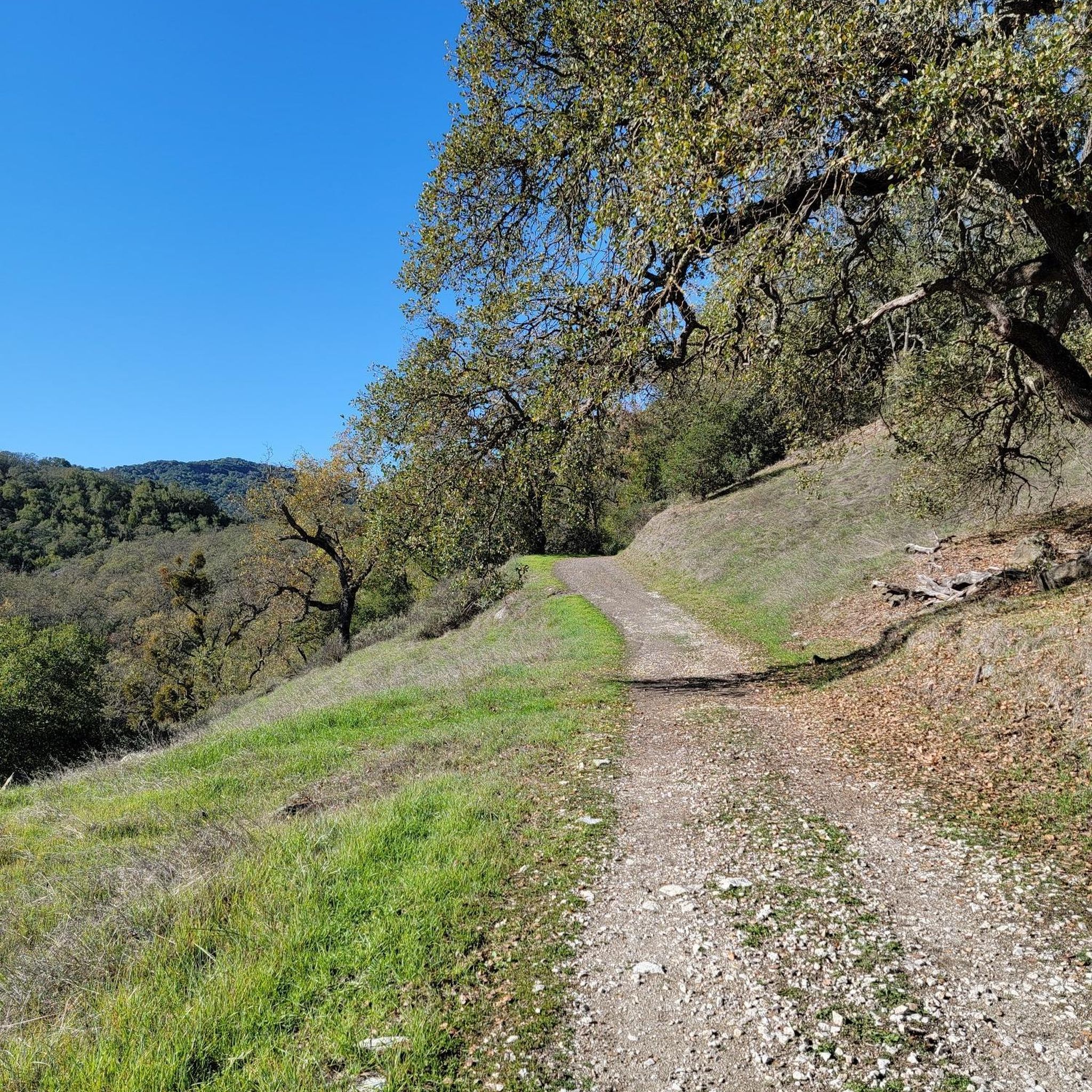
Hiking in Upper Uvas Creek Open Space Preserve (Closed Area) offers trails through lush, wooded landscapes nestled on the eastern slopes of the Santa Cruz Mountains. The preserve is characterized by its heavily forested environment, featuring flowing creeks and redwood forests. Hikers can explore a variety of terrain, including paths alongside Uvas Creek and routes leading to waterfalls. The area provides a serene natural experience with diverse elevation changes.
Best hiking trails in Upper Uvas Creek Open Space Preserve (Closed…
Last updated: July 23, 2026
5.0
(1)
16
hikers
11.5km
04:06
660m
660m
The Knibbs Knob and Waterfall Loop is a fascinating journey through Uvas Canyon County Park, offering a dramatic shift in scenery and effort. You'll begin with a demanding climb up…
5.0
(1)
73
hikers
5.69km
01:49
240m
230m
The Upper, Basin, and Black Rock Falls via Contour and Waterfall Loop offers a delightful escape into a lush, tranquil environment. You will wander through towering coastal redwood forests, following…

Sign up for free
11
hikers
7.18km
02:39
460m
460m
The Knibbs Knob Trail offers a challenging and rewarding hiking experience within Uvas Canyon County Park, known for its sustained steep ascent. You'll start in shaded forests of madrones and…
5.0
(1)
16
hikers
2.31km
00:46
120m
120m
Easy hike. Great for any fitness level. Easily-accessible paths. Suitable for all skill levels.
1.04km
00:20
10m
100m
If you're seeking a quick and easy escape into nature, the Knibbs Knob Trail is a delightful choice. This short route, just 0.6 miles (1.0 km) long with a gentle…
Get access to more routes and recommendations from other explorers.
Sign up for free
Already have an account?
Our route recommendations are based on thousands of hikes, rides, and runs completed by other people on komoot.
Start today with a free account
Your next adventure awaits.
Login or Signup
Popular around Upper Uvas Creek Open Space Preserve (Closed Area)


Tips from the Community

Here is the entrance to Uvas Canyon County Park. The park has several small falls surrounded by forest, walking less than a mile in, you’ll find a waterfall. Here you can find water fountains, restrooms and a campground. This is the perfect place to end or start your ride.
0
0

A cute waterfall but not much going on during summer (we were here in July).
0
0
This is a nice little pond to refresh in during the summer. The rest of the valley is really nice but a bit low on water in July.
0
0

The Lower Falls in Uvas Canyon County Park isn't the biggest or the baddest of all the waterfalls in the area, but it's easy to get to and an easy addition to a longer hike. If waterfalls are your jam, make sure to check out the nearby Black Rock Falls.
0
0

Nibbs Knob Trail is a fun trail that leads to an exposed overlook with a picnic table. Most of the trail on the way up is shaded, and there is tons of greenery and a waterfall to keep things interesting.
0
0

This is a very small waterfall, which, with its nearby counterparts, makes the Waterfall Loop and Contour Trails special.
0
0
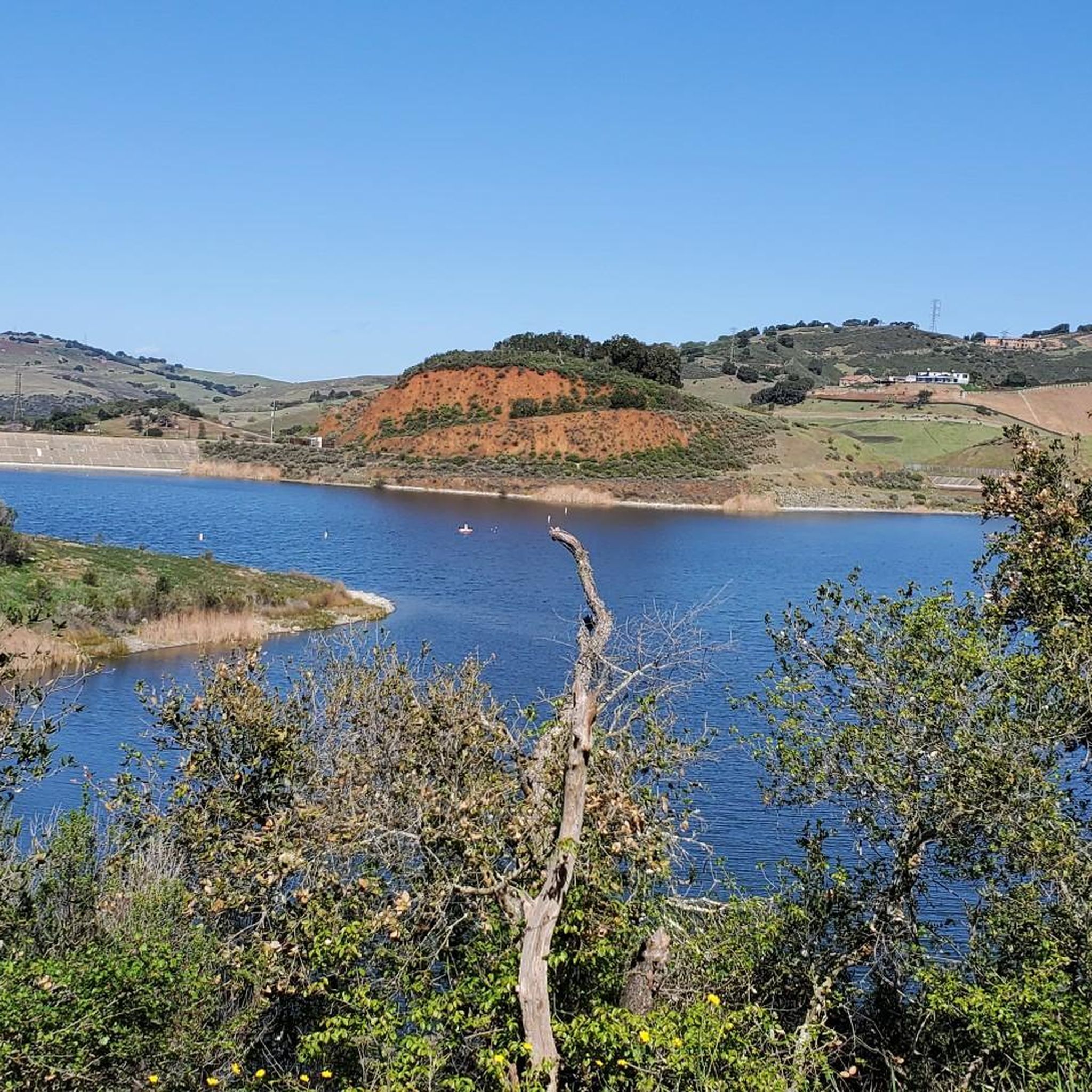
Along the Alec Canyon Trail there is a nice viewpoint to take a quick breather and enjoy the views that overlook a valley and mountain ridges.
0
0
This high point offers a great view of the surrounding mountains and wilderness.
0
0
Frequently Asked Questions
How many hiking trails are there in Upper Uvas Creek Open Space Preserve?
Upper Uvas Creek Open Space Preserve offers a diverse selection of hiking trails. There are 13 routes available, ranging from easy walks to more challenging treks, ensuring options for various fitness levels.
What is the best time to visit Upper Uvas Creek Open Space Preserve?
The preserve is particularly stunning after rainfall, as this ensures the numerous waterfalls, including Granuja Falls and Black Rock Falls, are flowing abundantly. The lush, wooded landscapes are beautiful year-round, but checking current conditions for trail access is always recommended.
Are there waterfalls in Upper Uvas Creek Open Space Preserve?
Yes, a major highlight of the area is its numerous waterfalls, especially prominent after rainfall. The park features a one-mile Waterfall Loop along Swanson Creek, showcasing cascades like Granuja Falls and Black Rock Falls. You can explore routes like the Granuja Falls – Black Rock Falls loop from Uvas Canyon County Park to experience them.
Do I need a reservation or permit to visit Upper Uvas Creek Open Space Preserve?
Yes, it is crucial to note that Uvas Canyon County Park, which is often associated with the preserve for hiking, requires pre-paid vehicle entry reservations seven days a week, including weekends and holidays. Plan your visit accordingly.
How can I check for trail closures or current conditions in Upper Uvas Creek Open Space Preserve?
Some specific trails, such as sections of the Uvas Creek Trail and the Lower Falls Trail, may be temporarily closed due to safety concerns, ongoing repairs, or flooding. Visitors should always check for current alerts and closures before planning their trip to ensure access to their desired trails.
Are there any loop trails available for hiking?
Yes, the preserve offers several loop trails. A popular option is the Waterfall and Contour Trails loop — Uvas Canyon County Park, which is 3.5 miles long and showcases multiple waterfalls and a wooded environment. Another is the Granuja Falls – Black Rock Falls loop from Uvas Canyon County Park.
Is Upper Uvas Creek Open Space Preserve suitable for families with children?
Yes, the preserve offers trails suitable for various fitness levels, including easy walks that are perfect for families. The lush, wooded environment and the presence of waterfalls can make for an engaging outdoor experience for children. Always check trail conditions for suitability.
Are dogs allowed on the trails in Upper Uvas Creek Open Space Preserve?
The provided information does not specify the exact dog policy for Upper Uvas Creek Open Space Preserve. It is recommended to check the official park regulations for Uvas Canyon County Park or the specific preserve before bringing your dog.
What kind of natural features can I expect to see while hiking?
Hikers can expect to immerse themselves in a heavily wooded environment with lush landscapes, flowing creeks (particularly Uvas Creek), and redwood forests. The area is also known for its stunning waterfalls, especially after rain, making for a picturesque experience.
Are there any challenging hikes for experienced hikers?
Yes, while there are easy walks, the preserve also offers more challenging routes with significant elevation changes, requiring good fitness. For example, the Knibbs Knob Trail is a moderate 4.5-mile path with notable elevation gain through the Santa Cruz Mountains.
What do other hikers enjoy most about Upper Uvas Creek Open Space Preserve?
The area is highly rated by the komoot community, with an average score of 4.8 stars from over 37 reviews. Hikers often praise the lush woodlands, flowing creeks, and scenic waterfalls, as well as the diverse options for different ability levels.
Is public transport available to Upper Uvas Creek Open Space Preserve?
The preserve is nestled in a more remote, natural setting on the eastern slopes of the Santa Cruz Mountains. Public transport options directly to the preserve are generally limited, making personal vehicle access the most common way to reach the trailheads.
What are the typical trail difficulties in Upper Uvas Creek Open Space Preserve?
The preserve offers a range of difficulties. You'll find 4 easy routes, 8 moderate routes, and 1 difficult route. This variety allows hikers to choose paths suitable for a leisurely stroll or a more strenuous workout.
Most popular routes in Upper Uvas Creek Open Space Preserve (Closed Area)

Get inspired with the komoot mobile app


Explore more
Browse the best Hikes in other regions.
