The best walks and hikes in Moore Creek Upland Open Space Preserve
4.6
(218)
3,211
hikers
183
hikes
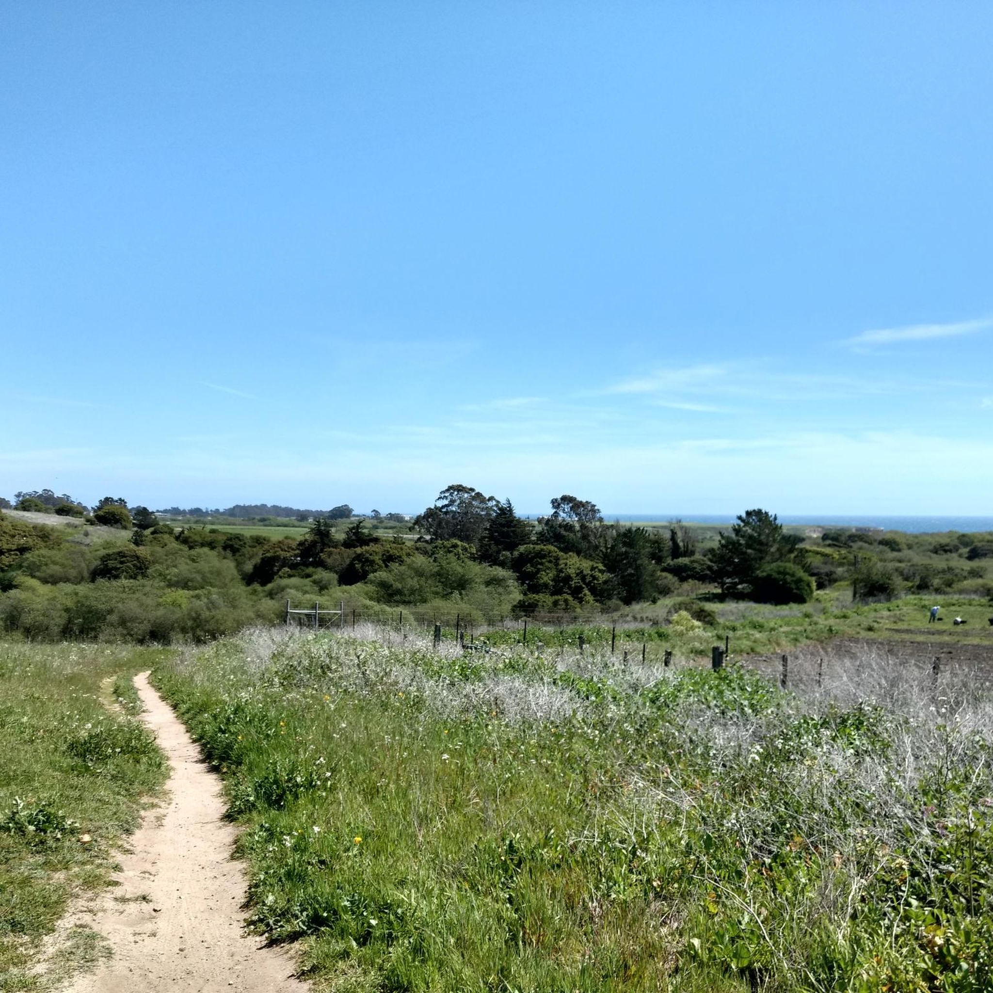
Hiking in Moore Creek Upland Open Space Preserve offers access to 246 acres of diverse natural features in Santa Cruz County. The preserve features expansive wildflower fields, coastal prairie, and oak woodlands, alongside a riparian corridor along the West Branch of Moore Creek. Hikers can explore coastal shrubland and a rare, half-mile-wide coastal terrace prairie that extends towards the Pacific Ocean. Tall Douglas firs crown the ridges, providing views of Monterey Bay.
Best hiking trails in Moore Creek Upland Open Space Preserve
- The most popular hiking route is Hiking loop from Santa Cruz, an easy 3.2 miles (5.1 km) trail that takes about 1 hour 19 minutes to complete. This route offers a straightforward path suitable for a quick outing.
- Another top favourite among local hikers is Santa Cruz Lighthouse/Surfer Memorial Statue loop from Westside — Santa Cruz, an easy 4.5 miles (7.2 km) path. This trail provides coastal views and passes by notable landmarks.
- Local hikers also love the Santa Cruz Lighthouse loop from Westside, a 3.7 miles (6.0 km) trail leading through coastal areas, often completed in about 1 hour 32 minutes.
- Hiking in Moore Creek Upland Open Space Preserve is defined by coastal prairie, oak woodlands, and riparian corridors. The network offers options for various ability levels, from easy strolls to more challenging paths.
- The routes in Moore Creek Upland Open Space Preserve are highly rated by the komoot community with an average score of 4.6 stars from over 180 reviews. More than 2700 hikers have used komoot to explore Moore Creek Upland Open Space Preserve's varied terrain.
Last updated: May 13, 2026
4.8
(12)
141
hikers
Easy hike. Great for any fitness level. Easily-accessible paths. Suitable for all skill levels.
4
hikers
Easy hike. Great for any fitness level. Easily-accessible paths. Suitable for all skill levels.

Sign up for free
2
hikers
6.07km
01:40
100m
100m
Easy hike. Great for any fitness level. Easily-accessible paths. Suitable for all skill levels.
5.0
(1)
13
hikers
6.06km
01:44
140m
140m
Easy hike. Great for any fitness level. Easily-accessible paths. Suitable for all skill levels.
832m
00:13
0m
10m
Easy hike. Great for any fitness level. Easily-accessible paths. Suitable for all skill levels.
Get access to more routes and recommendations from other explorers.
Sign up for free
Already have an account?
Our route recommendations are based on thousands of hikes, rides, and runs completed by other people on komoot.
Start today with a free account
Your next adventure awaits.
Login or Signup
Popular around Moore Creek Upland Open Space Preserve


Tips from the Community

Sand Plant Beach is a nice sandy beach in a deep rocky cove, surrounded by sandstone walls on three sides. The narrow mouth of the cove can trap seaweed along the waterline. From Old Cove Landing Trail a small footpath descends into the back of the beach. The main trail wraps around the back of the beach and continues to Fern Grotto Beach nearby, then to Wilder Beach and the Wilder Ranch visitor center parking lot.
1
0
Fern Grotto Beach is a nice sandy beach in a deep rocky cove, surrounded by sandstone walls on all sides. The grotto is a shallow cave at the back of the beach with ferns draping down over the entrance. The mouth of the cove isn’t large. From Old Cove Landing Trail a small footpath descends into the back of Fern Grotto Beach. The main trail wraps around the back of the beach and continues to Sand Plant Beach to the north, or Wilder Beach to the south.
1
0
Northern entrance to the coastal park from Delaware Ave. The trailhead is pedestrian and biker only, The former road goes straight to the beach, while smaller trails turn east into the Monarch Butterfly Natural Preserve, and West into the upper portions of the State Beach Park.
1
0

Stunning Natural Bridge Beach is known for its natural arches made of fine clay or mud rock, carved by time, water, and wind. The beach is also known for being home to a colony of monarch butterflies, with over 150,000 coming to live here for the winter. If you're lucky, you might even spot whales!
0
0
Superb Natural Bridge Beach, known for its natural arches made of fine clay or mud rock, carved out by time, water and winds. The place is also known for hosting a colony of monarch butterflies, more than 150,000 of which come to settle there for the winter. If you're lucky, you might also spot whales!
2
0

The Old Cove Landing Trail is littered with views, and this spot is one worth noting. There is a cool view of some sea caves below the trail, beaten by waves and accompanied by sandy beaches.
0
0

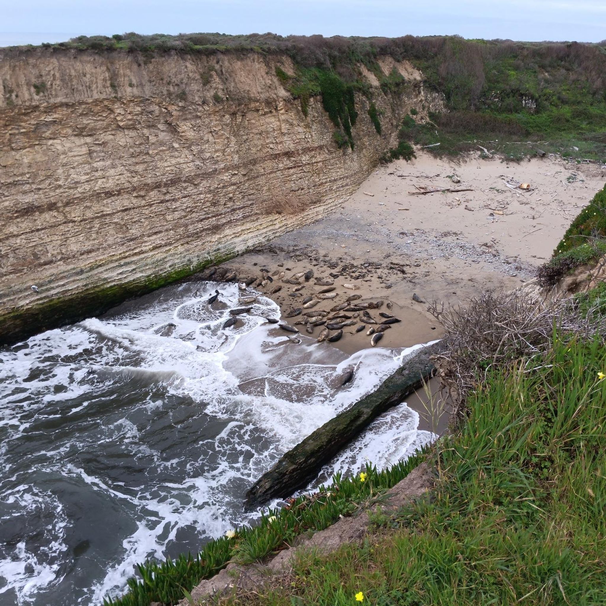
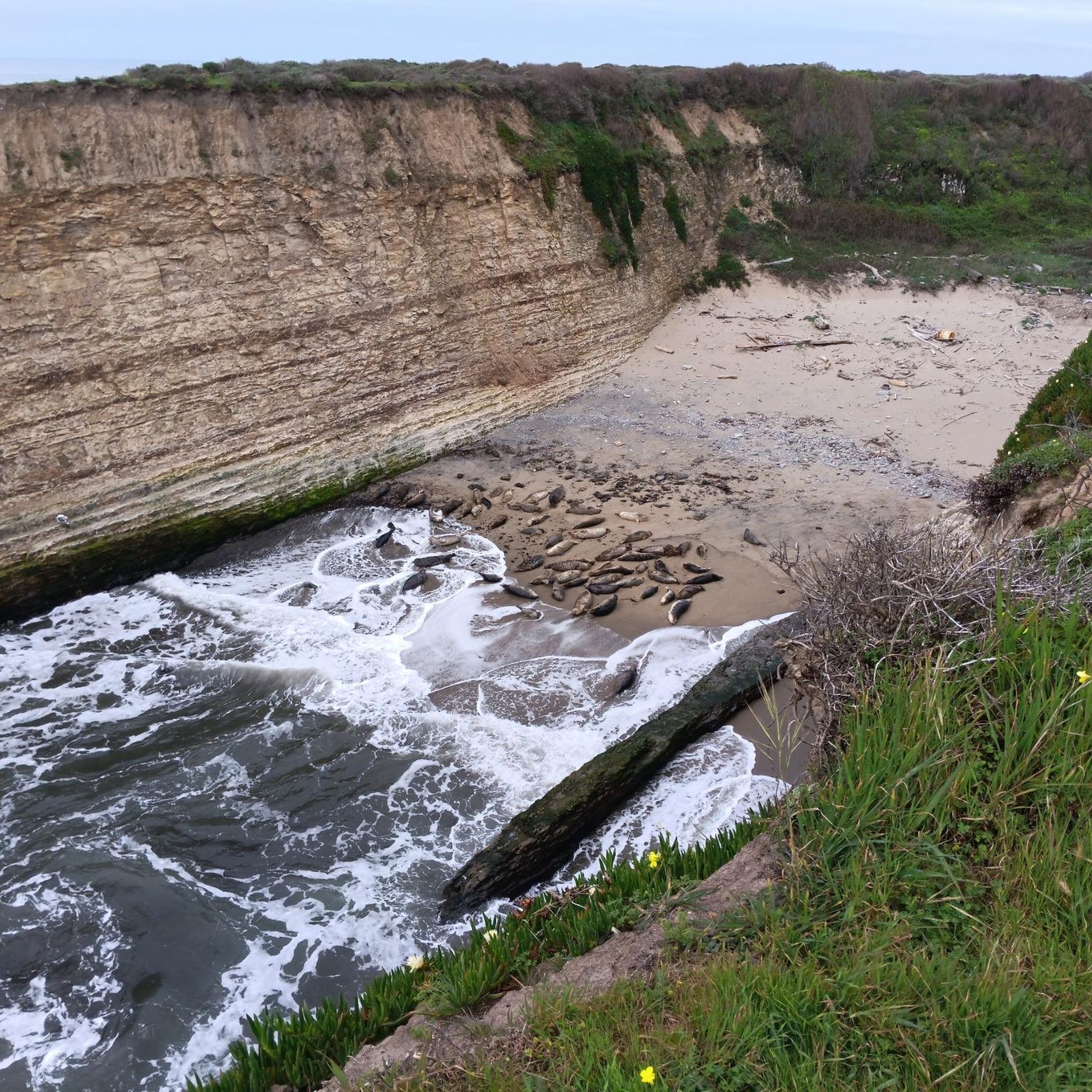
This overlook along Ohlone Bluff Trail offers views of cliffs and Sand Plant Beach along the ocean.
0
0
Protected as a natural preserve, the wide sandy beach is undeveloped and wild.
0
0
Frequently Asked Questions
How many hiking trails are available in Moore Creek Upland Open Space Preserve?
Moore Creek Upland Open Space Preserve offers nearly 140 hiking routes. The trails range from easy strolls to more challenging paths, with 83 easy, 50 moderate, and 6 difficult options to explore.
What kind of landscapes can I expect to see while hiking in Moore Creek Upland Open Space Preserve?
The preserve features diverse landscapes, including expansive wildflower fields, coastal prairie, and oak woodlands. You'll also find a rich riparian corridor along the West Branch of Moore Creek, coastal shrubland, and a rare half-mile-wide coastal terrace prairie. Tall Douglas firs crown the ridges, offering expansive views, and you might spot grazing cattle in the open pastures.
Are there any notable natural features or viewpoints in the preserve?
Yes, hikers can enjoy breathtaking views of Monterey Bay from various vantage points, especially from the ridges crowned with Douglas firs. The West Branch of Moore Creek flows through the preserve, and a distinctive coastal terrace prairie extends towards the Pacific Ocean. The Moore Creek Trail also leads to a scenic viewing platform.
What is the best time of year to visit Moore Creek Upland Open Space Preserve for hiking?
The preserve's beauty transforms with the seasons. It's vibrant emerald green in spring, transitioning to golden hues in summer. Each season offers a unique visual experience, making it a great destination year-round, though spring is particularly popular for wildflowers.
Is Moore Creek Upland Open Space Preserve suitable for families with children?
Yes, the trails cater to a range of skill levels, accommodating families and casual hikers. Many paths offer easy strolls, providing an ideal environment for a family outing to connect with nature.
What are the parking options and public transport accessibility for the preserve?
There is no on-site parking within the preserve. However, it is accessible via two walk-in entrances: one on Highway 1 at Shaffer Road and another at the end of Meder Street. For public transport, Santa Cruz Metro bus routes serve the nearby areas, with stops close to these entrances.
What do other hikers enjoy most about Moore Creek Upland Open Space Preserve?
The area is highly rated by the komoot community, with an average score of 4.6 stars from over 180 reviews. Reviewers often praise the preserve's tranquility, diverse ecosystems, and the opportunity for wildlife observation, noting it's often less crowded than other nearby parks.
Can I bring my dog to Moore Creek Upland Open Space Preserve?
The region research does not explicitly state whether dogs are allowed. It mentions public access is specifically limited to hiking, ensuring a serene experience. It's best to check local regulations or official park signage regarding dog policies before your visit.
Are there any specific routes recommended for an easy hike with scenic views?
For an easy hike with coastal views, consider the Santa Cruz Lighthouse/Surfer Memorial Statue loop from Westside — Santa Cruz. This 4.5-mile path provides coastal scenery and passes by notable landmarks.
What kind of wildlife might I encounter in the preserve?
The diverse ecosystems are home to a variety of wildlife. You might spot several rare, threatened, and endangered species, such as the red-legged frog, Ohlone tiger beetle, and the San Francisco popcorn flower. Grazing cattle are also a common sight in the open pastures.
Are there any longer, more challenging hikes available?
While many routes are easy, there are some moderate options for those seeking a longer challenge. For example, the Santa Cruz Lighthouse – Downtown Santa Cruz Mural loop from Monarch Butterfly Natural Preserve is a moderate 7.1-mile hike that offers a more extended exploration.
What are the typical trail conditions in Moore Creek Upland Open Space Preserve?
The trails wind through varied terrains including wildflower fields, coastal prairie, oak woodlands, and riparian corridors. Conditions can change with the seasons, from vibrant green in spring to golden in summer. Public access is limited to hiking, ensuring well-maintained paths for a serene experience.
Most popular routes in Moore Creek Upland Open Space Preserve

Get inspired with the komoot mobile app


Explore more
Browse the best Hikes in other regions.
