The best road cycling routes in Fort Ord National Monument
5.0
(45)
2,163
riders
76
rides
Road cycling routes in Fort Ord National Monument traverse a diverse landscape of rolling hills, oak woodlands, and grasslands, offering varied terrain for cyclists. The monument features an extensive system of paved roads that lead through its wildlands, providing opportunities for both challenging climbs and more relaxed rides. Riders can experience panoramic views of the Salinas Valley and the Pacific Ocean from various points within the monument. The area's physical features include coastal shrubland and varied ecosystems, making it suitable for different cycling preferences.
Best road cycling routes in Fort Ord National Monument
- The most popular road cycling route is View of Laguna Seca Racetrack – West Carmel River Valley Road loop from WeatherTech Raceway Laguna Seca, a 90.8 miles (146.1 km) trail that takes 6 hours 41 minutes to complete. This difficult route features significant elevation gain and offers expansive views.
- Another top favourite among local road cyclists is Monterey Bay Coastal Trail – Fishermans Wharf loop from WeatherTech Raceway Laguna Seca, a moderate 18.8 miles (30.3 km) path. This route follows the coastline, providing views of Monterey Bay.
- Local road cyclists also love the Watkins Gate Road – Gigling Road gate loop from WeatherTech Raceway Laguna Seca, a 13.7 miles (22.1 km) trail leading through varied terrain, often completed in about 1 hour 26 minutes.
- Road cycling in Fort Ord National Monument is defined by rolling hills, oak woodlands, and coastal views. The network offers options for different ability levels, from moderate paths to difficult climbs.
- The routes in Fort Ord National Monument are highly rated by the komoot community with an average score of 4.9 stars from over 40 reviews. More than 2,000 road cyclists have used komoot to explore Fort Ord National Monument's varied terrain.
Last updated: August 4, 2026
35
riders
Moderate road ride. Good fitness required. Some segments of this route may be unpaved and difficult to ride.
21
riders
Moderate road ride. Good fitness required. Some segments of this route may be unpaved and difficult to ride.

Sign up for free
5.0
(3)
148
riders
35.7km
01:38
190m
190m
Easy road ride. Great for any fitness level. Mostly well-paved surfaces and easy to ride.
14
riders
26.2km
01:33
600m
600m
Moderate road ride. Good fitness required. Mostly well-paved surfaces and easy to ride.
12
riders
45.8km
02:45
1,030m
1,030m
Hard road ride. Very good fitness required. Mostly well-paved surfaces and easy to ride.
Get access to more routes and recommendations from other explorers.
Sign up for free
Already have an account?
Our route recommendations are based on thousands of hikes, rides, and runs completed by other people on komoot.
Start today with a free account
Your next adventure awaits.
Login or Signup

Tips from the Community

A lovely wharf you should see
0
0


Nice, small (and free!) museum just before Fisherman's Wharf in Monterey. Nice exhibition.
1
0
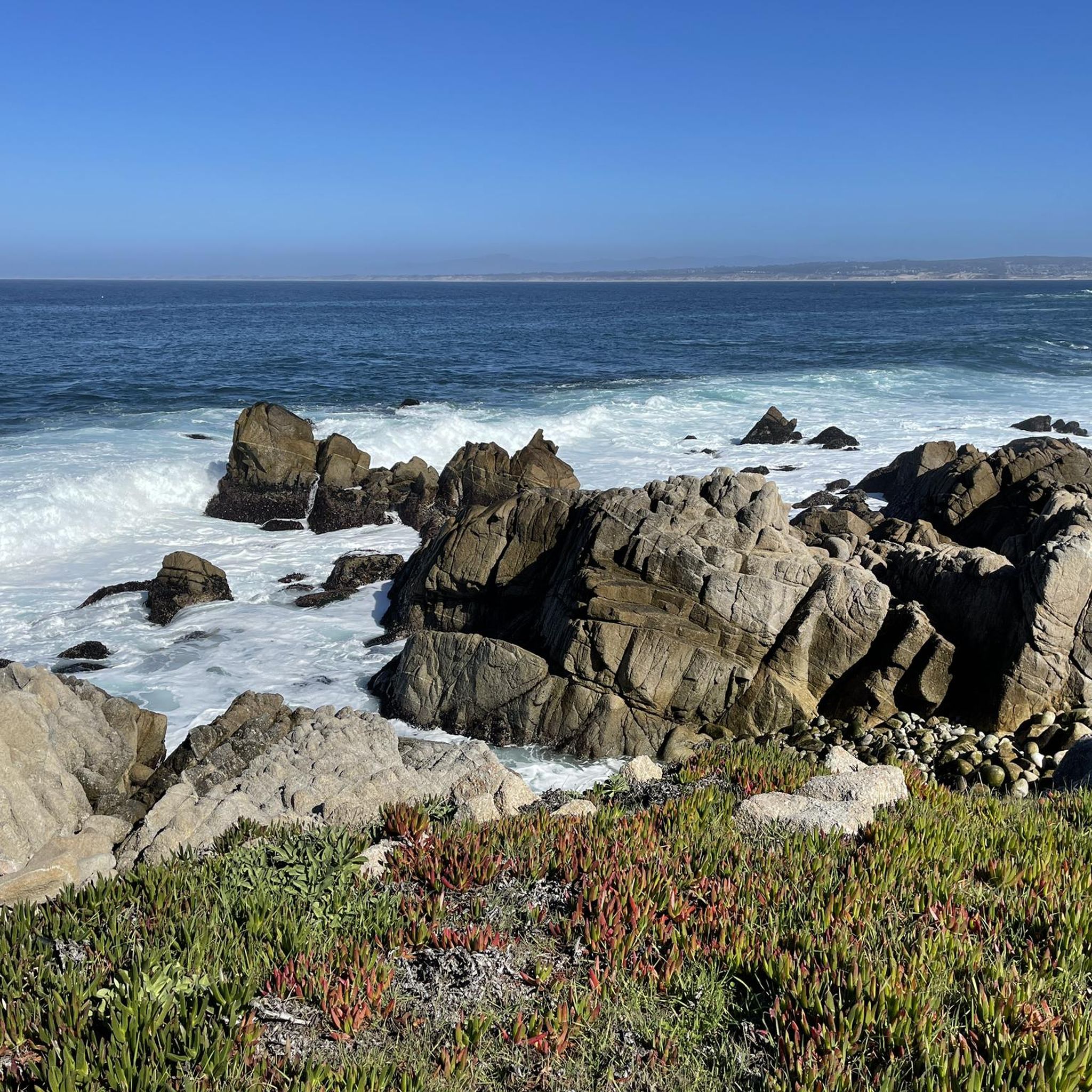
Beautiful little wharf, touristy but still OK. Starting point for a (wonderful) whale watching tour. There is a sea lion colony on the edge - just watching these animals is worth a visit.
1
0

Sand City, California, a small city, is home to the scenic Sand City Beach. Once an industrial area, the dunes west of Highway 1 are now protected as part of the Eolian Dunes Preserve. The Sand City Beach Trail runs through the dunes, offering access to trails for hiking, biking, and leash pets. Sand City Beach is a top spot for beachcombing, especially for finding colorful sea glass, though walking barefoot is risky due to sharp edges.
0
0

There is a simple gate that allows cyclists to pass with ease but bars the road from vehicular traffic. From here you can access the sprawling Fort Ord trail system.
0
0

The Del Monte Lake Trail is a part of the Monterey Bay Coastal Trail. This wide, paved, multi-use path takes you along the scenic coastline past the famous Monterey beaches. This is a fantastic bit of riding on a traffic-free path.
0
0

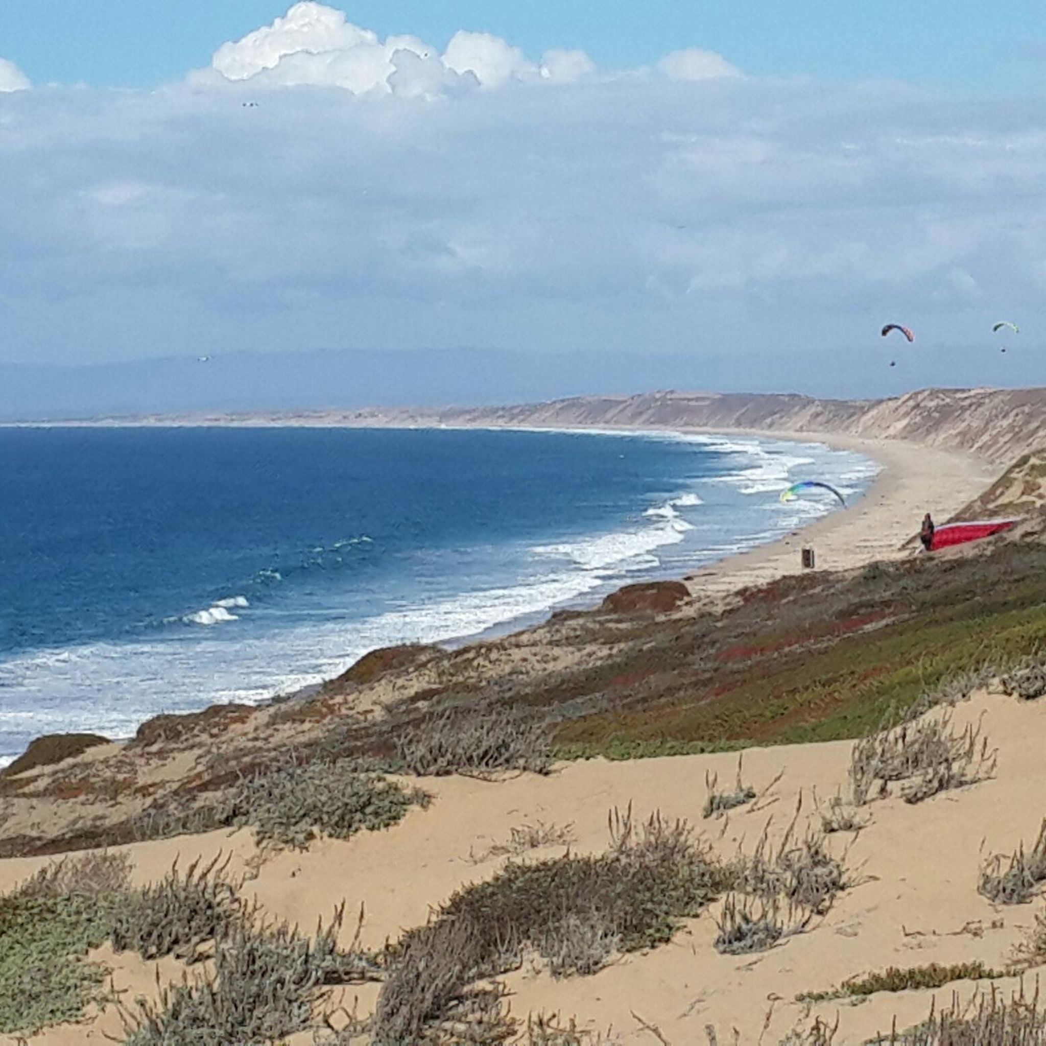
The Monterey Bay Coastal Recreation Trail is a 19-mile-long trail that hugs the coast from Castroville to Monterey Bay. This section is a beautiful stretch near Sand City and gives you wonderful views of the water. The trail is paved and is popular with cyclists and walkers.
1
0
Frequently Asked Questions
How many road cycling routes are available in Fort Ord National Monument?
Fort Ord National Monument offers a wide selection of road cycling routes. There are over 75 routes available, catering to various skill levels and preferences.
What kind of terrain can I expect when road cycling in Fort Ord National Monument?
You can expect a diverse landscape featuring rolling hills, oak woodlands, and grasslands. The monument's paved roads offer a mix of flatter sections perfect for wildlife viewing and challenging climbs that reward you with panoramic views of the Salinas Valley and the Pacific Ocean.
Are there road cycling routes suitable for beginners in Fort Ord National Monument?
Yes, Fort Ord National Monument has routes suitable for beginners. Approximately 20 of the available routes are rated as easy, providing a gentle introduction to the area's beautiful scenery. An example of a moderate route that offers varied terrain is the Watkins Gate Road – Gigling Road gate loop from WeatherTech Raceway Laguna Seca.
Are there challenging road cycling routes for experienced riders?
Absolutely. For experienced riders seeking a challenge, Fort Ord National Monument offers 16 difficult routes with significant elevation gains. These routes often lead to breathtaking panoramic viewpoints. A prime example is the View of Laguna Seca Racetrack – West Carmel River Valley Road loop from WeatherTech Raceway Laguna Seca, which covers over 90 miles with substantial climbing.
What scenic views and natural features can I expect to see while cycling?
Cyclists can enjoy spectacular 360° views of the Salinas Valley, the Gabilan Mountains, and even glimpses of the distant Pacific Ocean from various elevated points. The monument also boasts diverse ecosystems, including maritime chaparral, oak woodlands, grasslands, and seasonal wildflowers, supporting a rich array of plant and animal life.
Are there any historical landmarks along the road cycling routes?
Yes, the monument has a rich history as a former U.S. Army training base. You might encounter remnants of its military past, such as an old military watchtower. The area also crosses the Juan Bautista de Anza National Historic Trail, commemorating a significant 18th-century expedition.
What do other road cyclists enjoy the most about road cycling in Fort Ord National Monument?
The area is highly rated by the komoot community, with an average score of 4.9 stars from over 40 reviews. Reviewers often praise the diverse terrain, the stunning panoramic views, and the unique car-free cycling experience offered on many of the paved roads within the monument.
What is the best time of year for road cycling in Fort Ord National Monument?
The Central Coast climate generally allows for year-round cycling. However, spring and fall often offer the most pleasant temperatures and can feature vibrant wildflower blooms. Summers can be warm, while winters are typically mild but may bring occasional rain.
Are there specific trailheads or parking areas for road cyclists?
Yes, key access points for the monument include the Creekside Terrace Trailhead and the Badger Hills Trailhead, both of which offer amenities like restrooms and maps. Parking is generally available at these designated trailheads.
Can I find loop routes for road cycling in Fort Ord National Monument?
Many of the road cycling routes in Fort Ord National Monument are designed as loops, allowing you to start and end at the same point without retracing your path. This provides a varied and engaging experience. For example, the Top of Barloy Canyon Road – View of Laguna Seca Racetrack loop from Portola / Manolete offers a substantial loop challenge.
Is Fort Ord National Monument suitable for family-friendly road cycling?
While some routes involve challenging climbs, there are flatter paved roads that can be suitable for families, especially those with some cycling experience. These routes often provide opportunities for wildlife viewing in a car-free environment. Always check the route difficulty before heading out with children.
Where can I find more information about the monument's wildlife and plants?
Fort Ord National Monument is a haven for wildlife and protects 44 species of rare plants and animals. For detailed information on the diverse flora and fauna you might encounter, you can visit the Bureau of Land Management's official page on Fort Ord's wildlife and plants.
Are there any coastal road cycling options near Fort Ord National Monument?
Yes, while Fort Ord National Monument itself is inland, some routes extend towards or connect with coastal areas. For instance, the Monterey Bay Coastal Trail – Fishermans Wharf loop from WeatherTech Raceway Laguna Seca follows the coastline, offering beautiful views of Monterey Bay.
Most popular routes in Fort Ord National Monument

Get inspired with the komoot mobile app


Explore more
Browse the best Road cycling routes in other regions.
